Name/Title
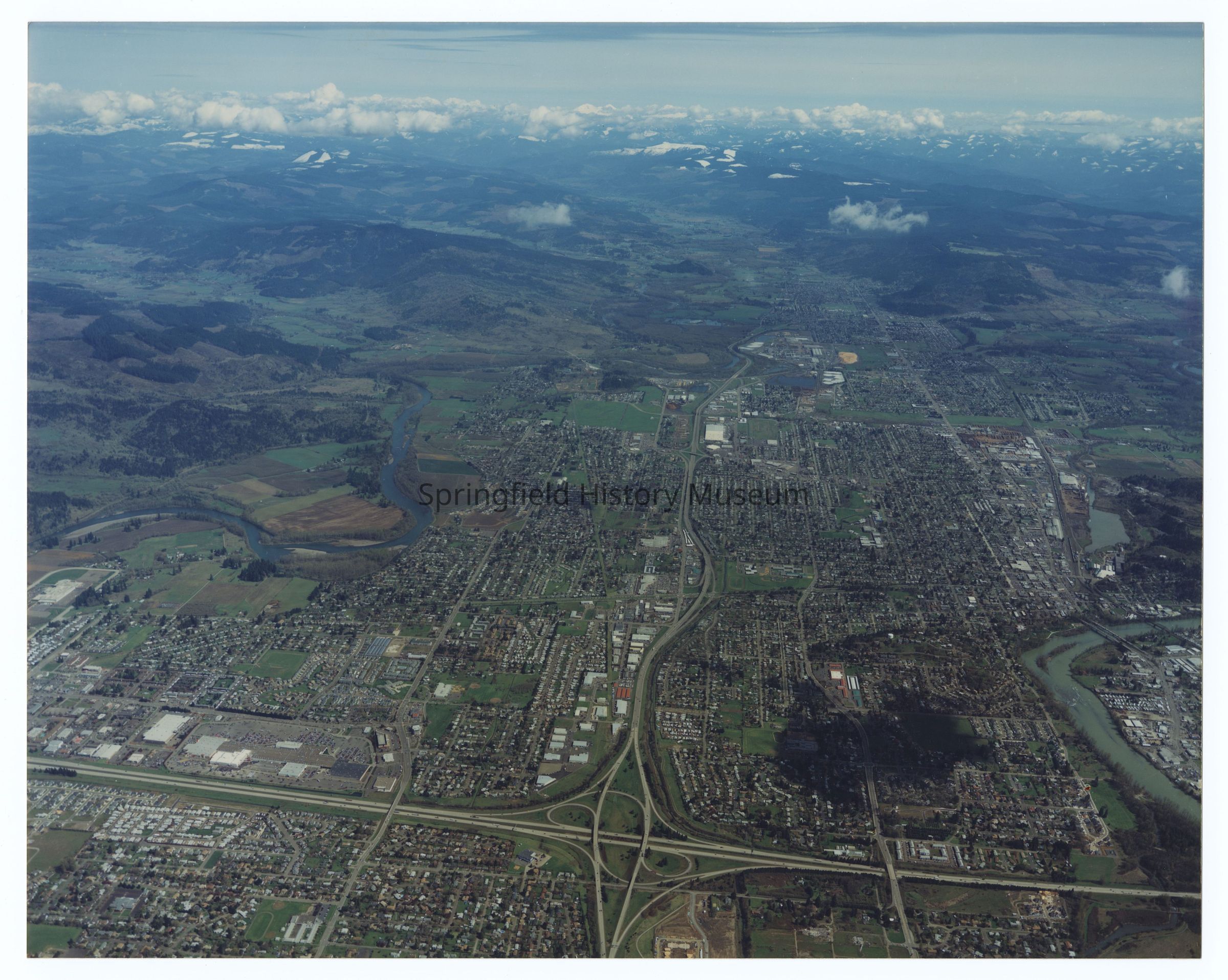
Aerial photograph of Springfield, West to East view, circa 1970-1980Entry/Object ID
2021.005.118Description
Aerial photograph of Springfield, West to East view, undated, circa 1970-1980.Photograph Details
Subject Place
City
SpringfieldCounty
Lane CountyState/Province
OregonCountry
United States of AmericaContinent
North AmericaCollection
Aerial Photography, Springfield Area Chamber of Commerce CollectionMade/Created
Studio
Skyview Aerial Surveys EugeneDate made
circa 1970Inscription/Signature/Marks
Transcription
Inscription back: Skyview Aerial Surveys PO Box 10333 Eugene OR 97440 541-343-8000Lexicon
Search Terms
Bridges, Streets, Houses, Landscape, Aerial PhotographyCopyright
Type of License
Copyright Not Evaluated, http://rightsstatements.org/vocab/CNE/1.0/Copyright Holder
Skyview Aerial Surveys EugeneCopyright Details
Images on this website are provided by the Springfield History Museum for educational purposes. Researchers assume all responsibility for copyright questions. For inquiries, please contact springfieldmuseum@springfield-or.gov, or use the Image Request Link.