Name/Title
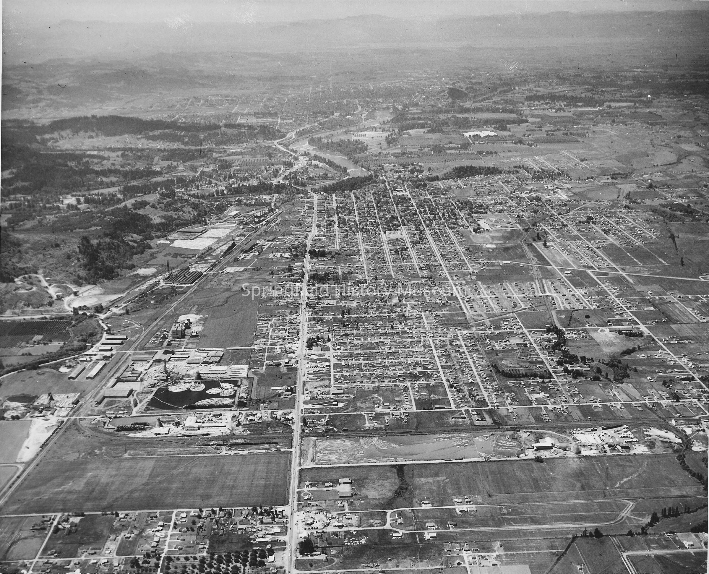
Aerial View of Springfield.Entry/Object ID
1995.010.001Description
Aerial view of Springfield, looking west along Main Street, 32nd in lower left. Rosboro and alcohol plant. Undated.
Scanned image, 300 ppi, Tif format, on disk 26Collection
Unknown Donor Photo CollectionLexicon
Nomenclature 4.0
Nomenclature Secondary Object Term
Print, PhotographicNomenclature Primary Object Term
PhotographNomenclature Sub-Class
Graphic DocumentsNomenclature Class
Documentary ObjectsNomenclature Category
Category 08: Communication ObjectsCopyright
Type of License
Copyright Not Evaluated, http://rightsstatements.org/vocab/CNE/1.0/Copyright Details
Images on this website are provided by the Springfield History Museum for educational purposes. Researchers assume all responsibility for copyright questions. For inquiries, please contact [email protected], or use the Image Request Link.