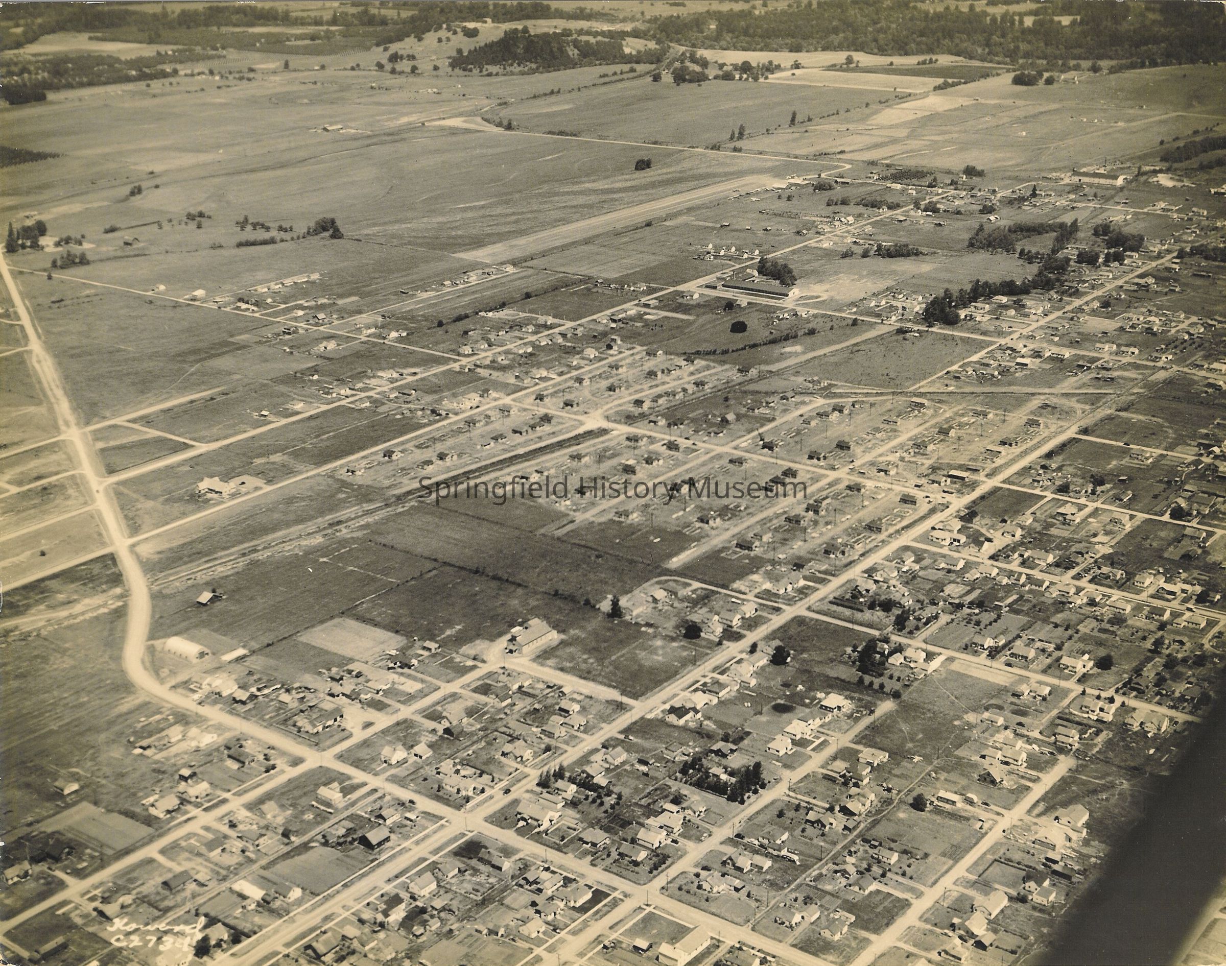
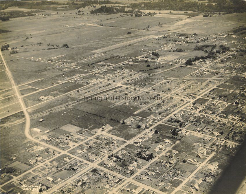
Name/Title
Aerial view of SpringfieldEntry/Object ID
1995.010.043Description
Aerial view looking north up Fourteenth to Mohawk Road. Maple School off toward northeast. Undated. Marked 'Howard C-2731"
Scanned image, 300 ppi, Tif format, on disk 27Collection
Unknown Donor Photo CollectionAcquisition
Accession
1995.010Source or Donor
UnknownAcquisition Method
GiftMade/Created
Date made
1947Place
City
SpringfieldCounty
Lane CountyState/Province
OregonCountry
United States of AmericaContinent
North AmericaCopyright
Type of License
Copyright Not Evaluated, http://rightsstatements.org/vocab/CNE/1.0/Copyright Details
Images on this website are provided by the Springfield History Museum for educational purposes. Researchers assume all responsibility for copyright questions. For inquiries, please contact springfieldmuseum@springfield-or.gov, or use the Image Request Link.