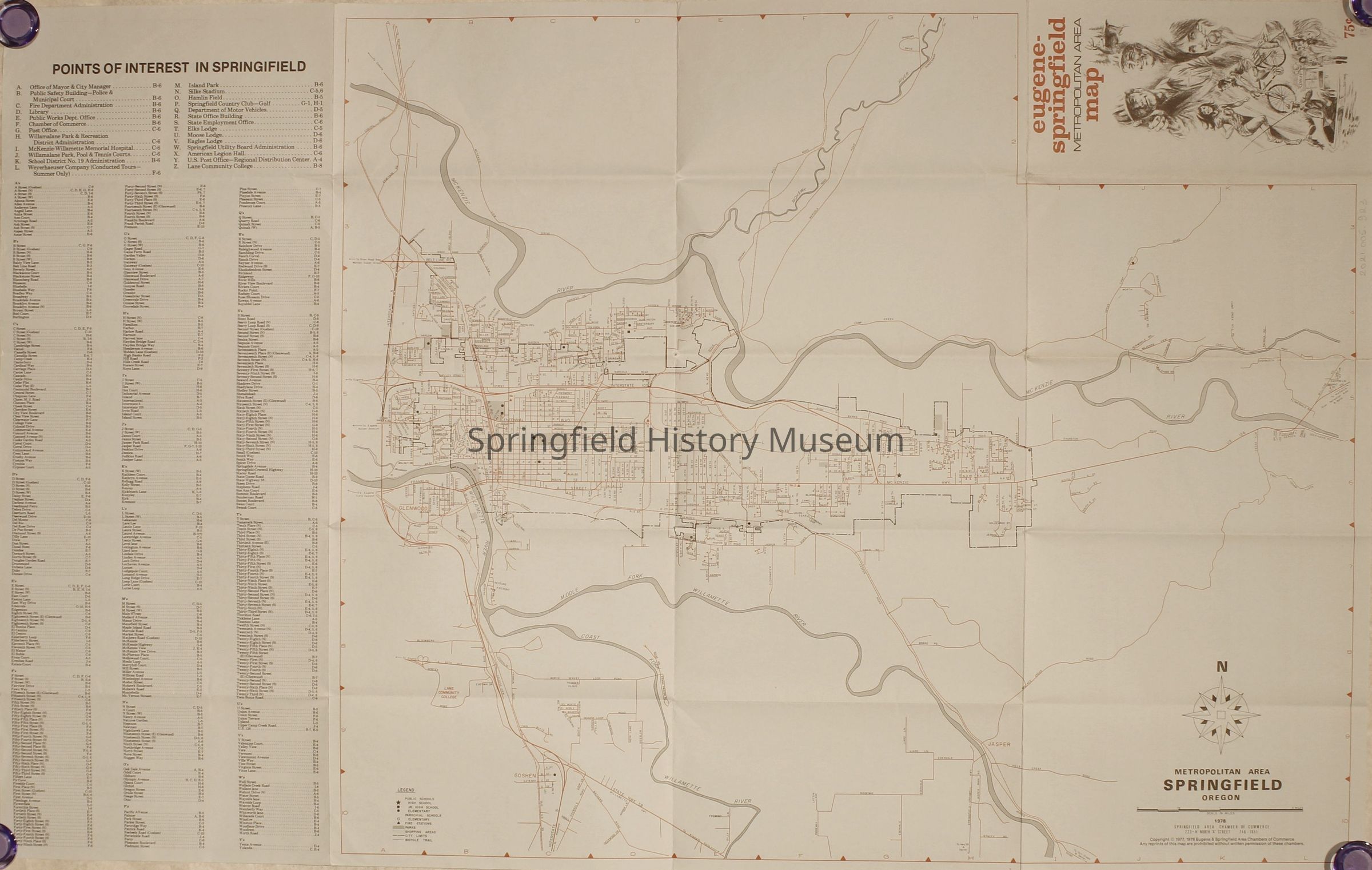
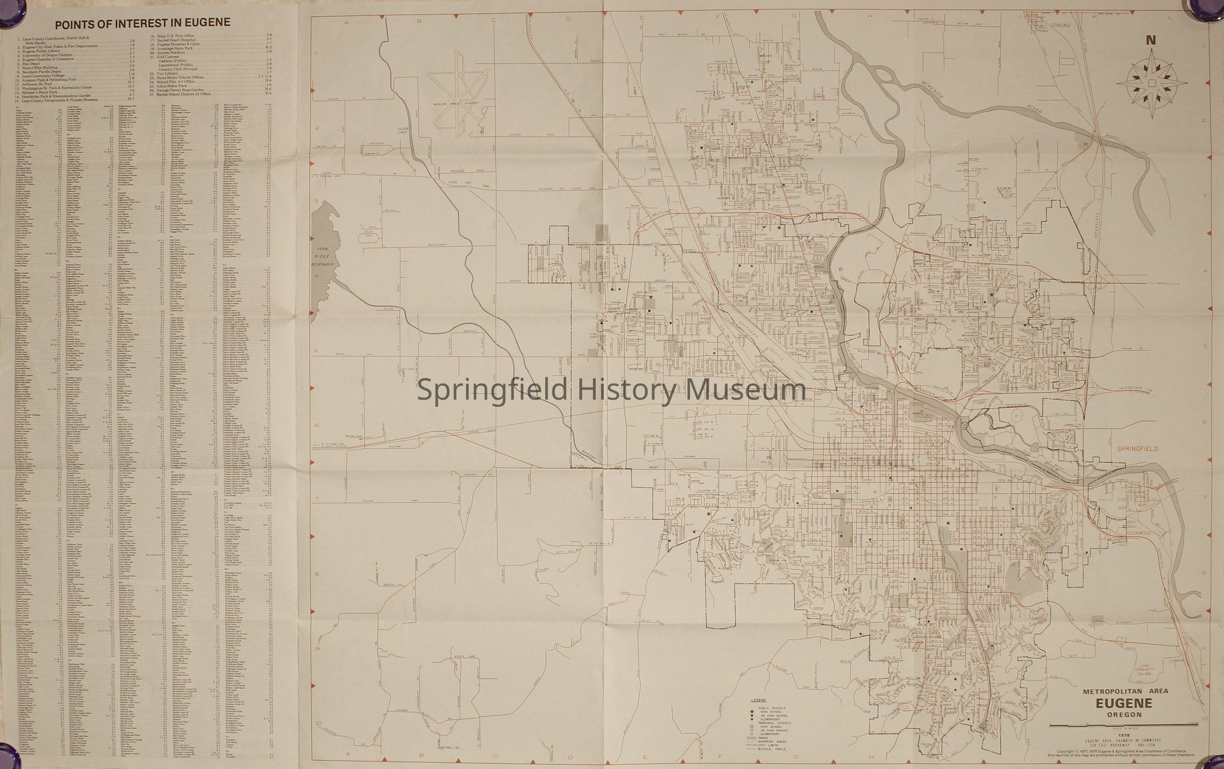
Name/Title
Map of Metropolitan Eugene and Springfield, 1978Entry/Object ID
2021.005.923Scope and Content
Map of Metropolitan Eugene and Springfield, 1978. Blue lay-out with art by Nate Owens.Context
Part of B. Springfield MapsCollection
Springfield Area Chamber of Commerce CollectionAcquisition
Accession
2021.005Source or Donor
Springfield Chamber of CommerceAcquisition Method
DonationArchive Items Details
Creator
Eugene Chamber of Commerce, Springfield Area Chamber of CommerceDate(s) of Creation
1978Container
Springfield Area Chamber of Commerce Box 1Notes
Has one duplicate.Dimensions
Height
21 inWidth
33-1/2 inRelationships
Related Places
Place
City
Springfield, EugeneCounty
Lane CountyState/Province
OregonCountry
United States of AmericaContinent
North AmericaCopyright
Type of License
Copyright Not Evaluated, http://rightsstatements.org/vocab/CNE/1.0/Copyright Holder
Springfield Area Chamber of CommerceCopyright Details
Images on this website are provided by the Springfield History Museum for educational purposes. Researchers assume all responsibility for copyright questions. For inquiries, please contact springfieldmuseum@springfield-or.gov, or use the Image Request Link.