Name/Title
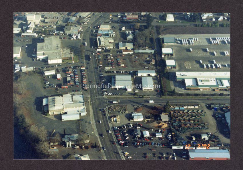
Aerial Photograph of Franklin and Glenwood Blvds, undatedEntry/Object ID
2021.007.087Description
Color photograph, aerial view of Franklin and Glenwood Blvds with LTD facility in upper right, Intercity in upper left corner.Collection
Steve Moe CollectionAcquisition
Accession
2021.007Source or Donor
Stephen MoeAcquisition Method
DonationMade/Created
Date made
2002Place
Neighborhood
GlenwoodCity
SpringfieldCounty
Lane CountyState/Province
OregonCountry
United States of AmericaContinent
North AmericaCopyright
Type of License
Copyright Not Evaluated, http://rightsstatements.org/vocab/CNE/1.0/Copyright Details
Images on this website are provided by the Springfield History Museum for educational purposes. Researchers assume all responsibility for copyright questions. For inquiries, please contact springfieldmuseum@springfield-or.gov, or use the Image Request Link.