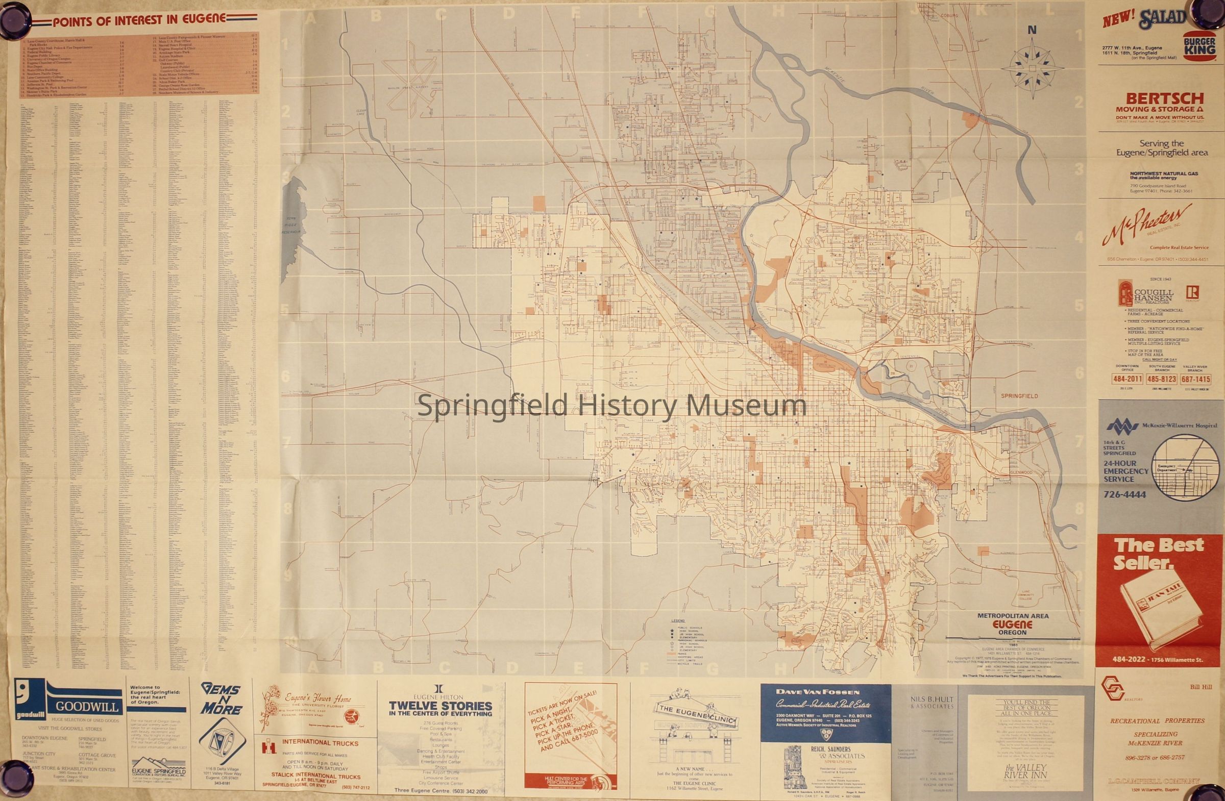
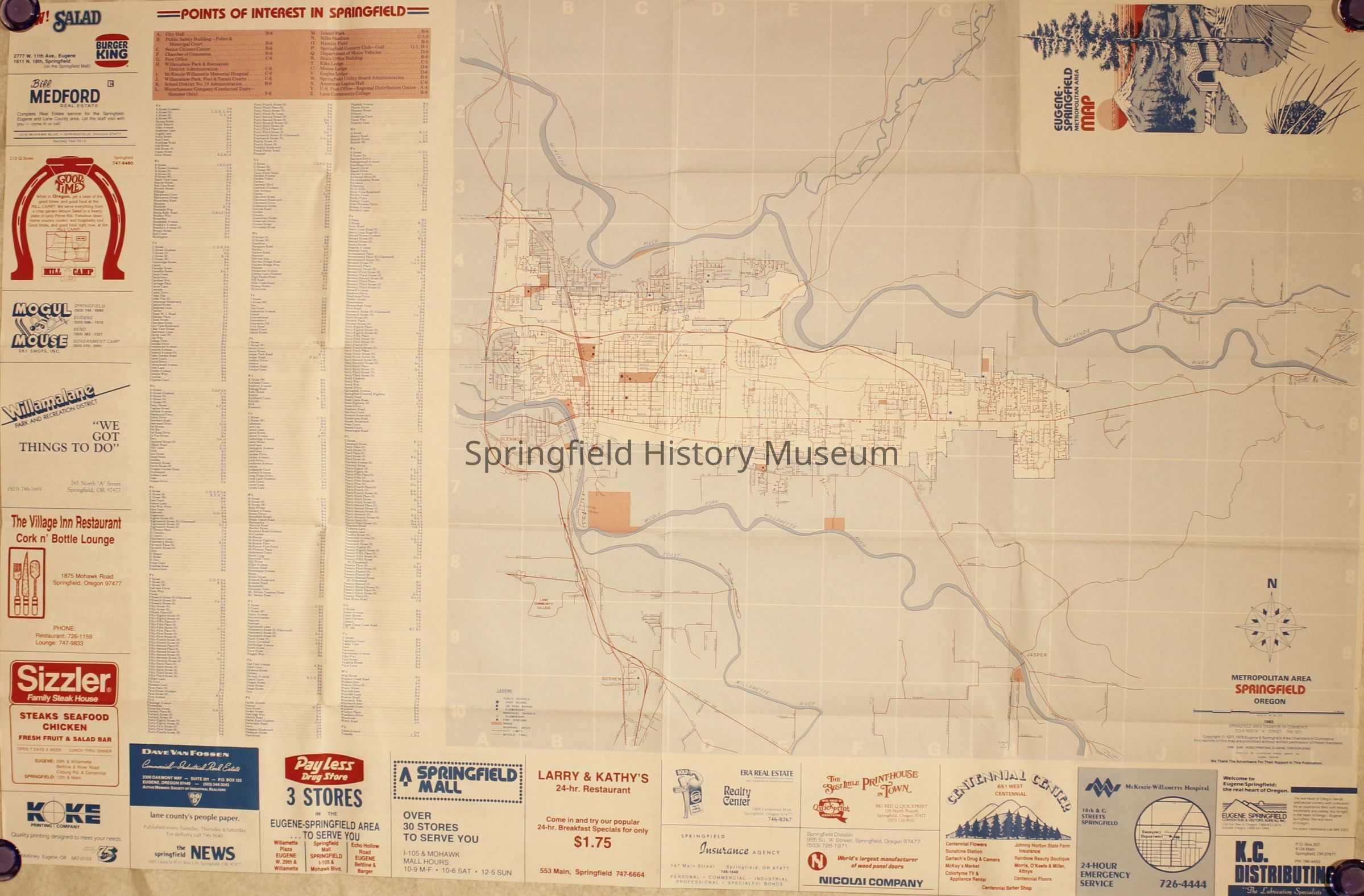
Name/Title
Map of Metropolitan Eugene and Springfield, 1983Entry/Object ID
2021.005.926Description
Map of Metropolitan Eugene and Springfield, 1983. Blue and red lay-out with covered bridge on front.Context
Part of B. Springfield MapsCollection
Springfield Area Chamber of Commerce CollectionLexicon
Getty AAT
Concept
city maps, tourist mapsSearch Terms
Tourist Map, Visitors Guide, Street MapRelationships
Related Places
Place
City
Springfield, EugeneCounty
Lane CountyState/Province
OregonCountry
United States of AmericaContinent
North AmericaCopyright
Type of License
Copyright Not Evaluated, http://rightsstatements.org/vocab/CNE/1.0/Copyright Holder
Springfield Chamber of CommerceCopyright Details
Images on this website are provided by the Springfield History Museum for educational purposes. Researchers assume all responsibility for copyright questions. For inquiries, please contact springfieldmuseum@springfield-or.gov, or use the Image Request Link.