Name/Title
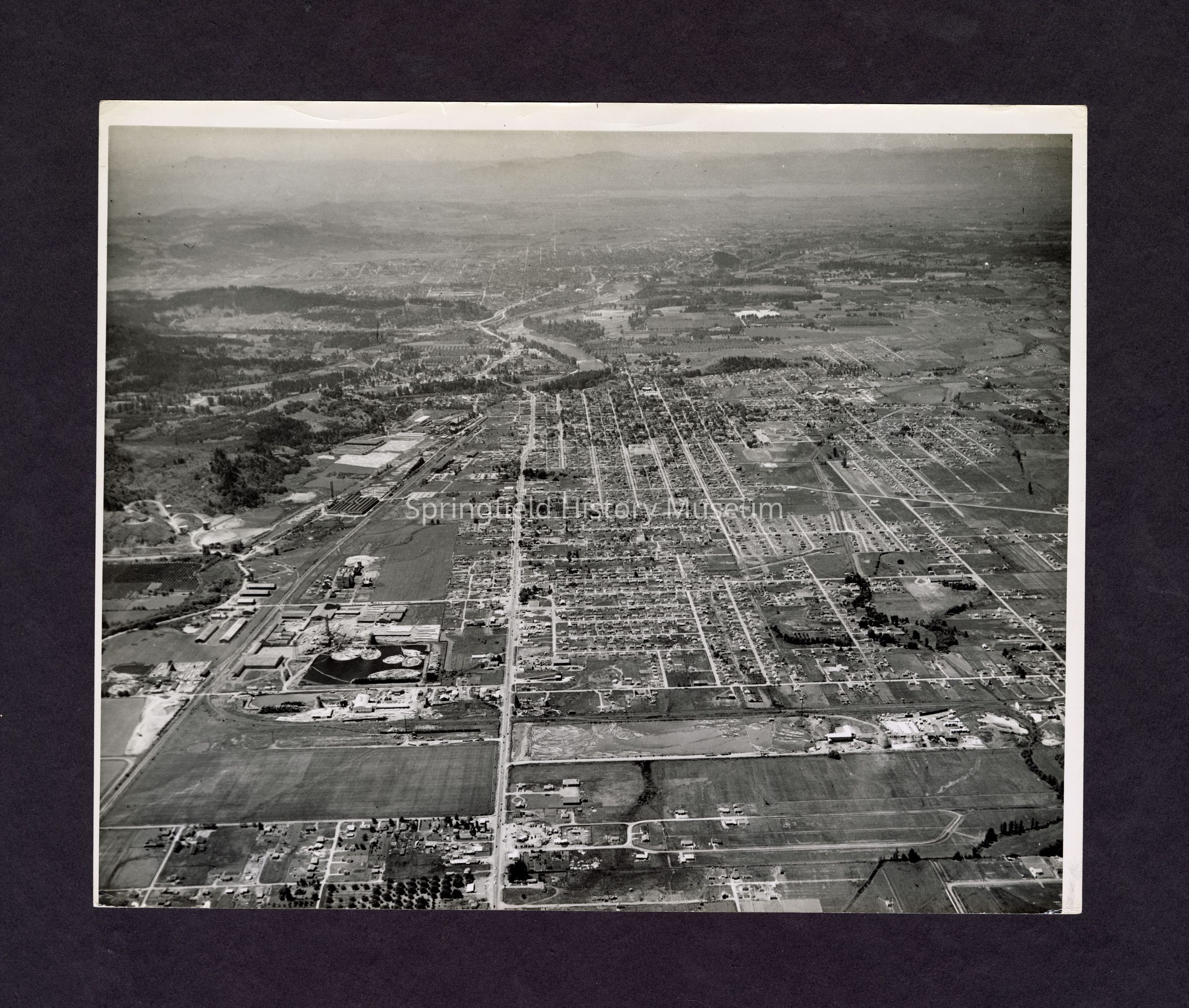
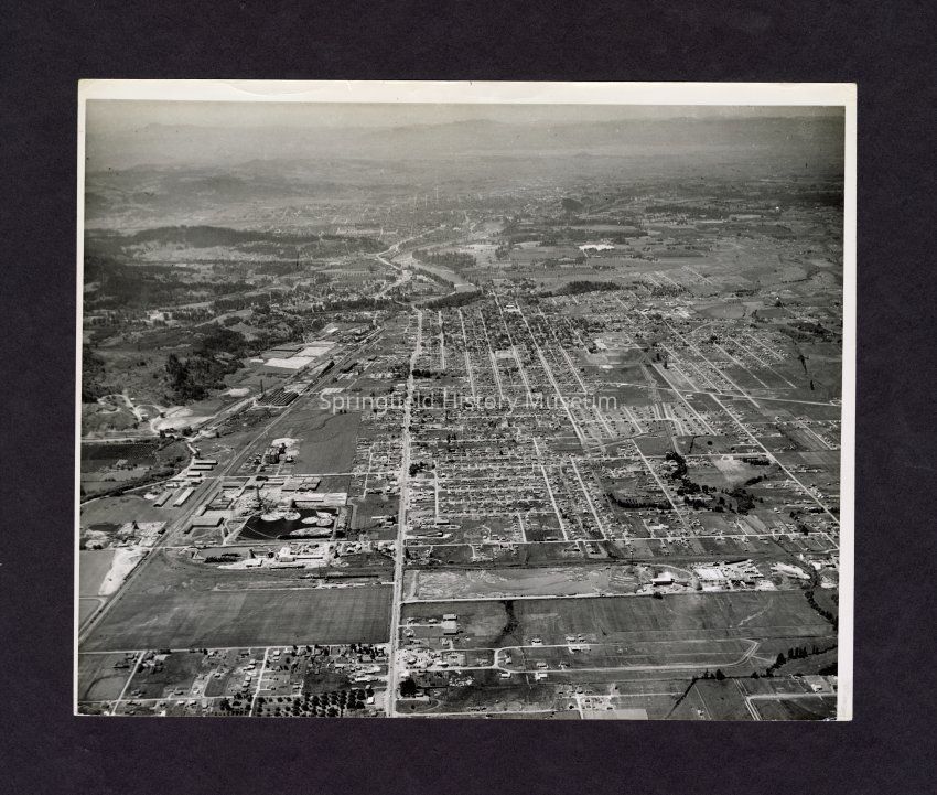
Photograph, Aerial view of SpringfieldEntry/Object ID
2017.003.807Description
Black and white aerial photograph of Springfield, looking west along Main Street, 32nd in lower left. Rosboro and alcohol plant. Undated. Duplicate of 1995.010.001.Collection
Fogle Photo CollectionMade/Created
Place
City
SpringfieldCounty
Lane CountyState/Province
OregonCountry
United States of AmericaContinent
North AmericaLexicon
Search Terms
Aerial, SpringfieldCopyright
Type of License
Copyright Not Evaluated, http://rightsstatements.org/vocab/CNE/1.0/Copyright Details
Images on this website are provided by the Springfield History Museum for educational purposes. Researchers assume all responsibility for copyright questions. For inquiries, please contact springfieldmuseum@springfield-or.gov, or use the Image Request Link.