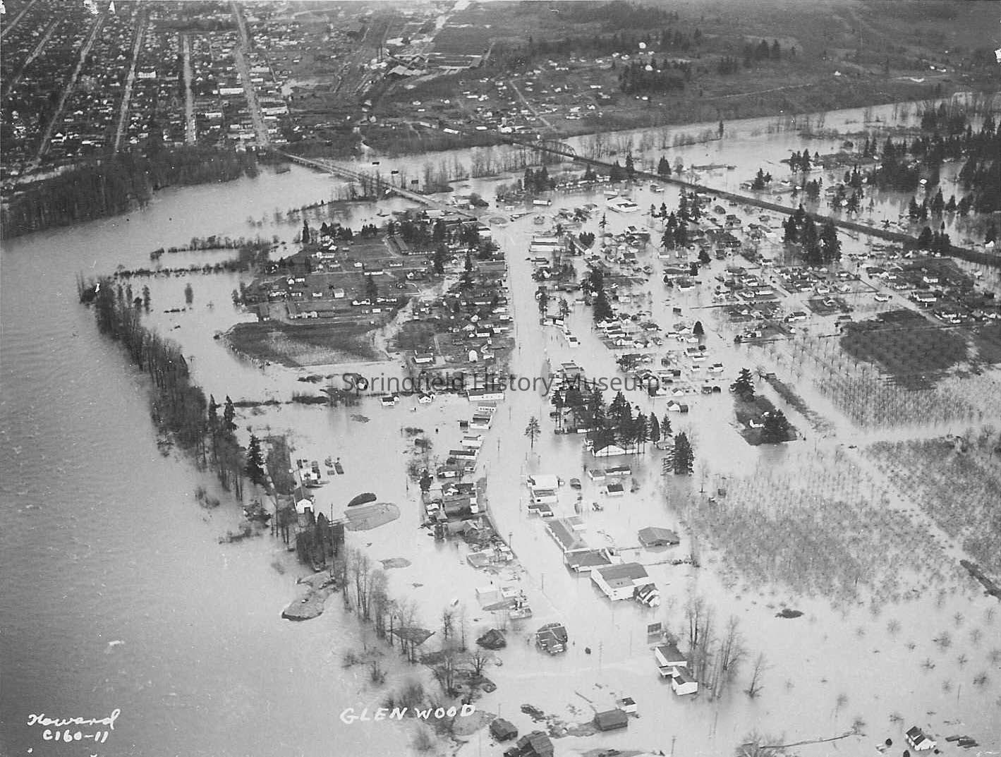
Photograph of aerial view of flooded Glenwood, Oregon, 1948
Entry/Object ID
1989.001.648
Description
Photograph of aerial view of flooded Glenwood, from the air, showing Franklin Boulevard under water and two bridges into Springfield.
Transcribed inscription on front: "Howard C160-11 Glenwood"
Transcribed inscription on reverse: "January 16, 1948"
Taken by Howard
Photograph Details
Subject Place
Neighborhood
Glenwood
City
Springfield
County
Lane County
State/Province
Oregon
Country
United States of America
Continent
North America
Collection
Fogle Photo Collection
Made/Created
Studio
Howard Photography
Date made
Jan 16, 1948
Lexicon
Nomenclature 4.0
Nomenclature Secondary Object Term
Print, Photographic
Nomenclature Primary Object Term
Photograph
Nomenclature Sub-Class
Graphic Documents
Nomenclature Class
Documentary Objects
Nomenclature Category
Category 08: Communication Objects
Search Terms
Aerial Views, Floods, Floods, Glenwood, Franklin Boulevard, Bridges, Aerial Views, Howard C160-11, Floods--Glenwood, Roads & Highways--Franklin Boulevard, Aerial Views--Glenwood
Copyright Not Evaluated, http://rightsstatements.org/vocab/CNE/1.0/
Copyright Details
Images on this website are provided by the Springfield History Museum for educational purposes. Researchers assume all responsibility for copyright questions. For inquiries, please contact [email protected], or use the Image Request Link.