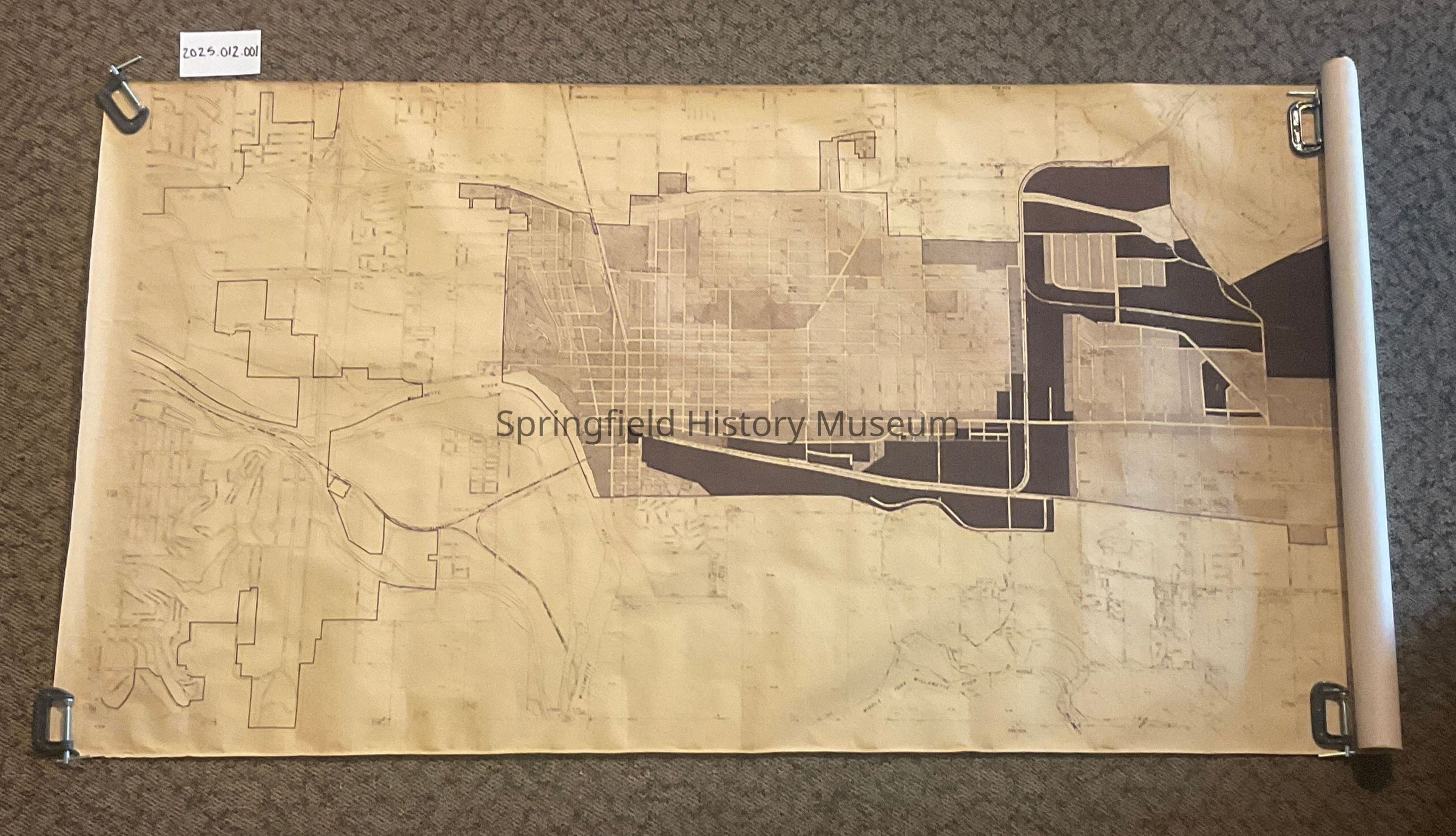
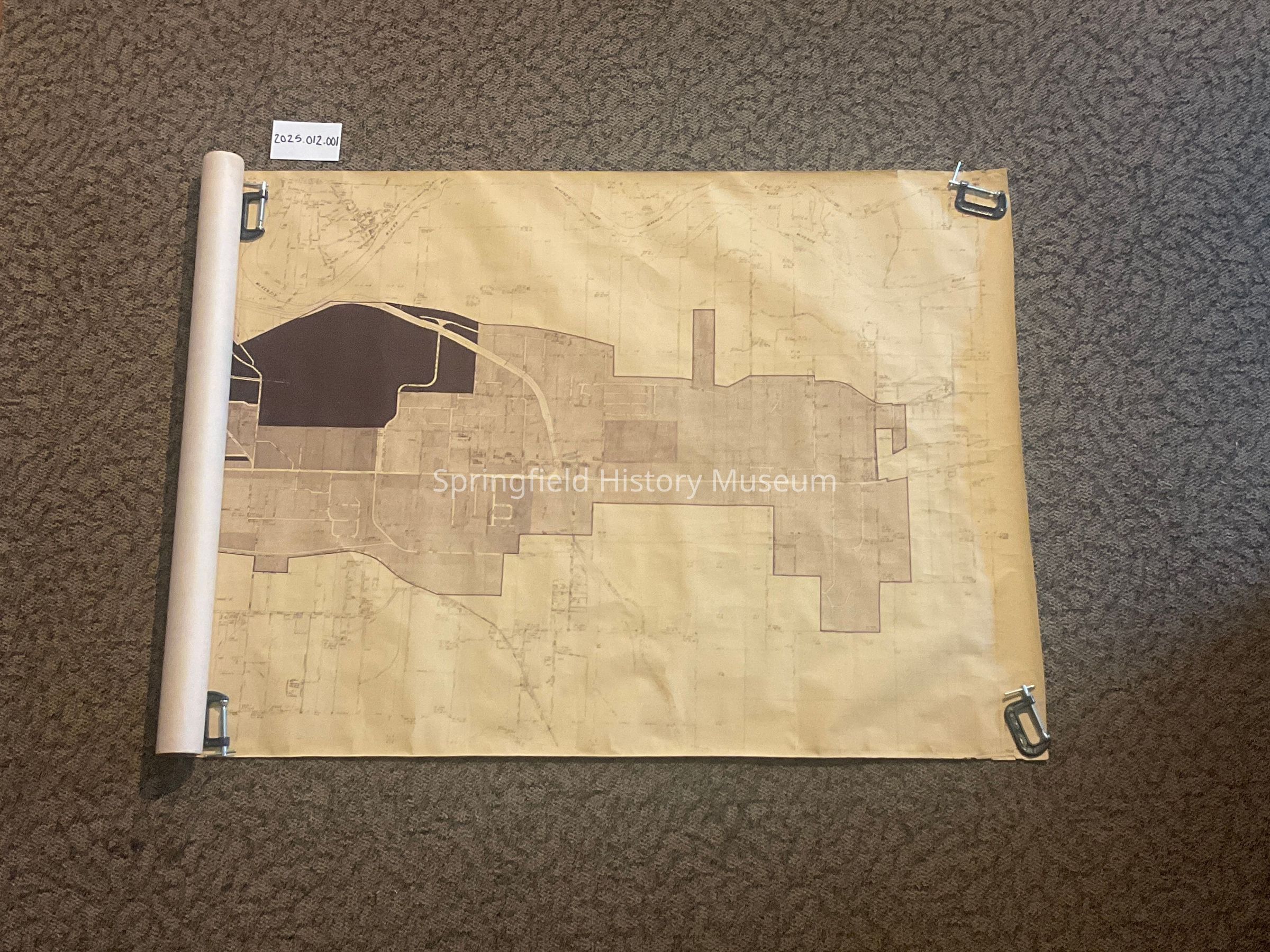
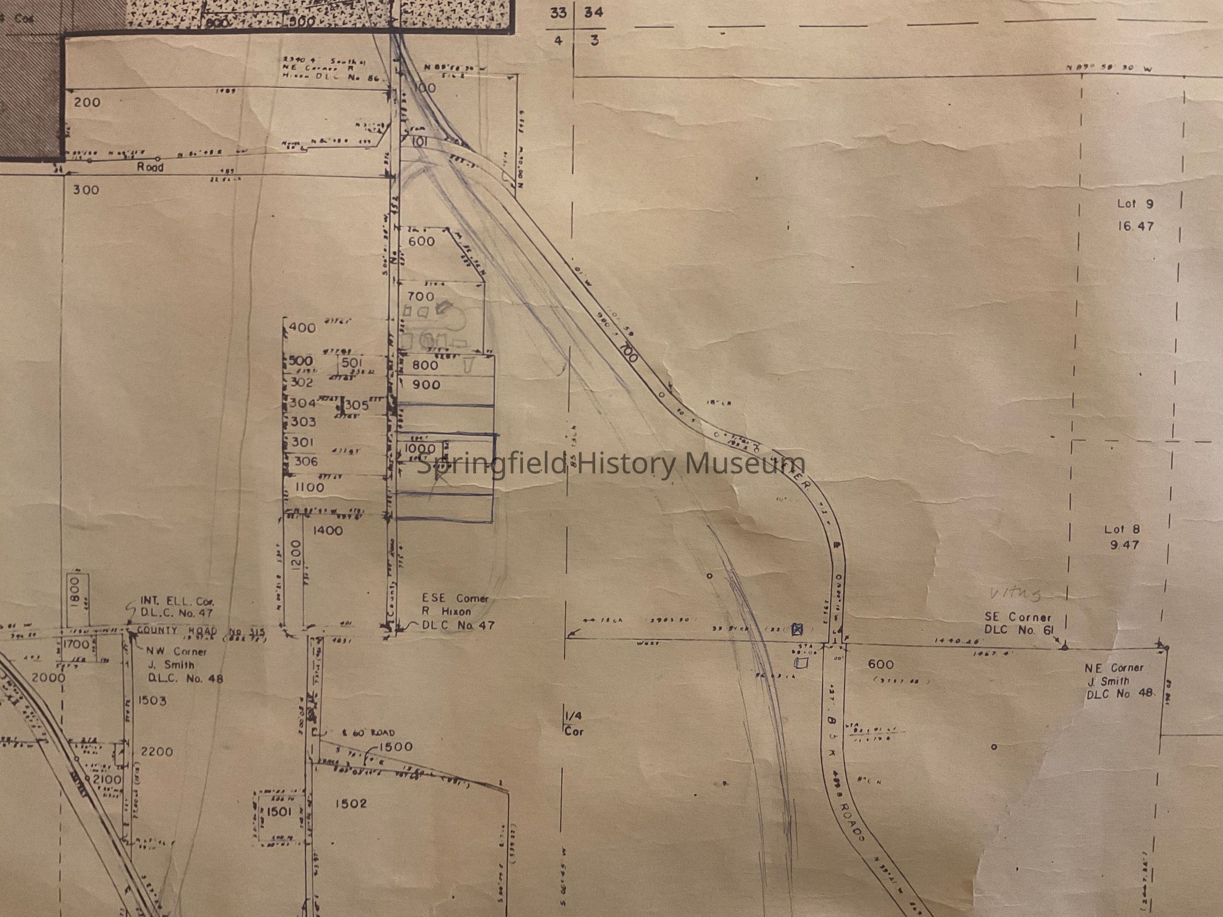
Name/Title
Large Map of Springfield, circa 1960’sEntry/Object ID
2025.012.001Scope and Content
10’ x 42” Map with hand drawings of the plan for the Bob Straub Parkway.Context
A perspective of Springfield boundaries, roads, and highways circa 1966. Also what government had in mind for the future of Springfield’s infrastructure.