Name/Title
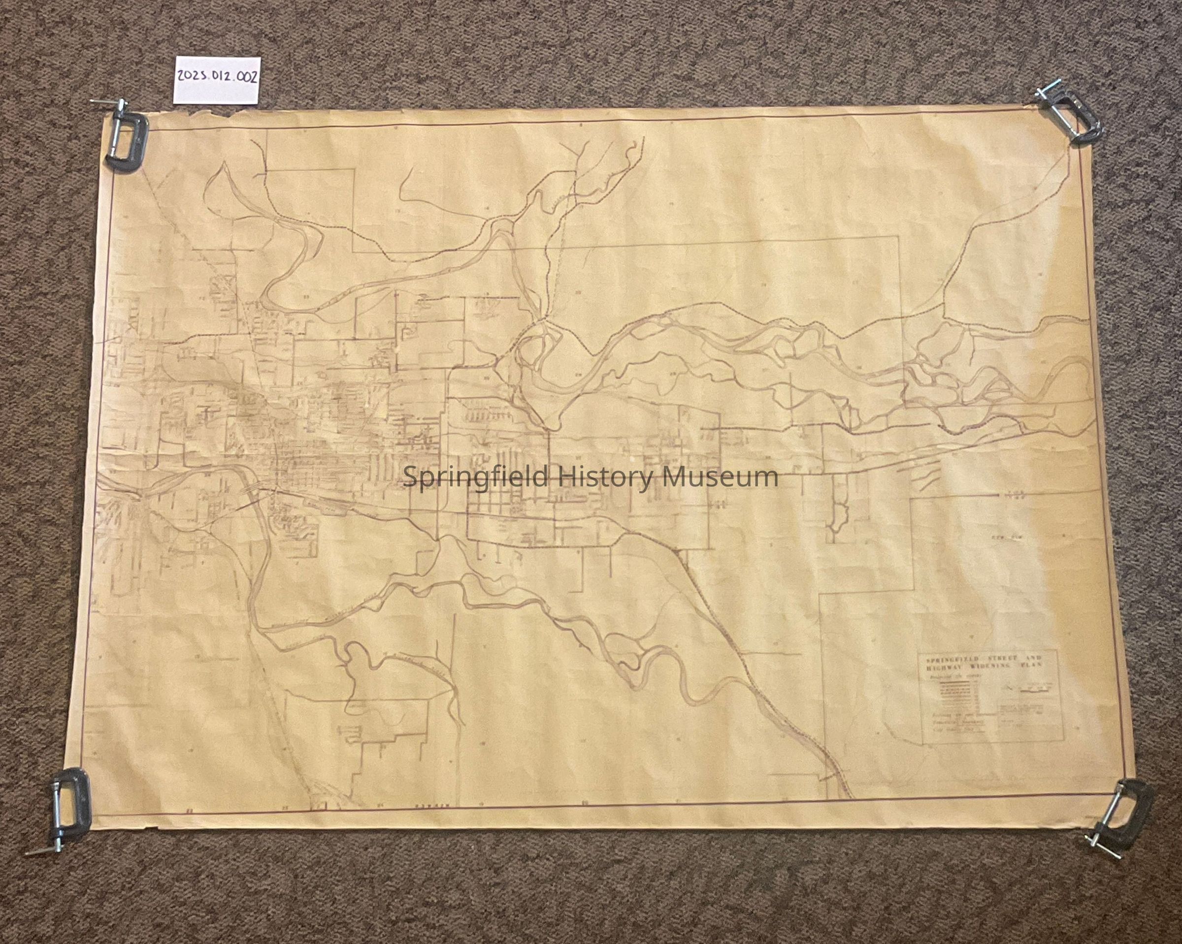
Map of Springfield, Oregon, 1966Entry/Object ID
2025.012.002Scope and Content
Map associated with Bob Straub Parkway extension from Boundary Commission and Bob Straub Commission member. Specifically edited by the Springfield Street & Highway Widening Plan.Context
A perspective of Springfield boundaries, roads, and highways circa 1966. Also what government had in mind for the future of Springfield’s infrastructure.