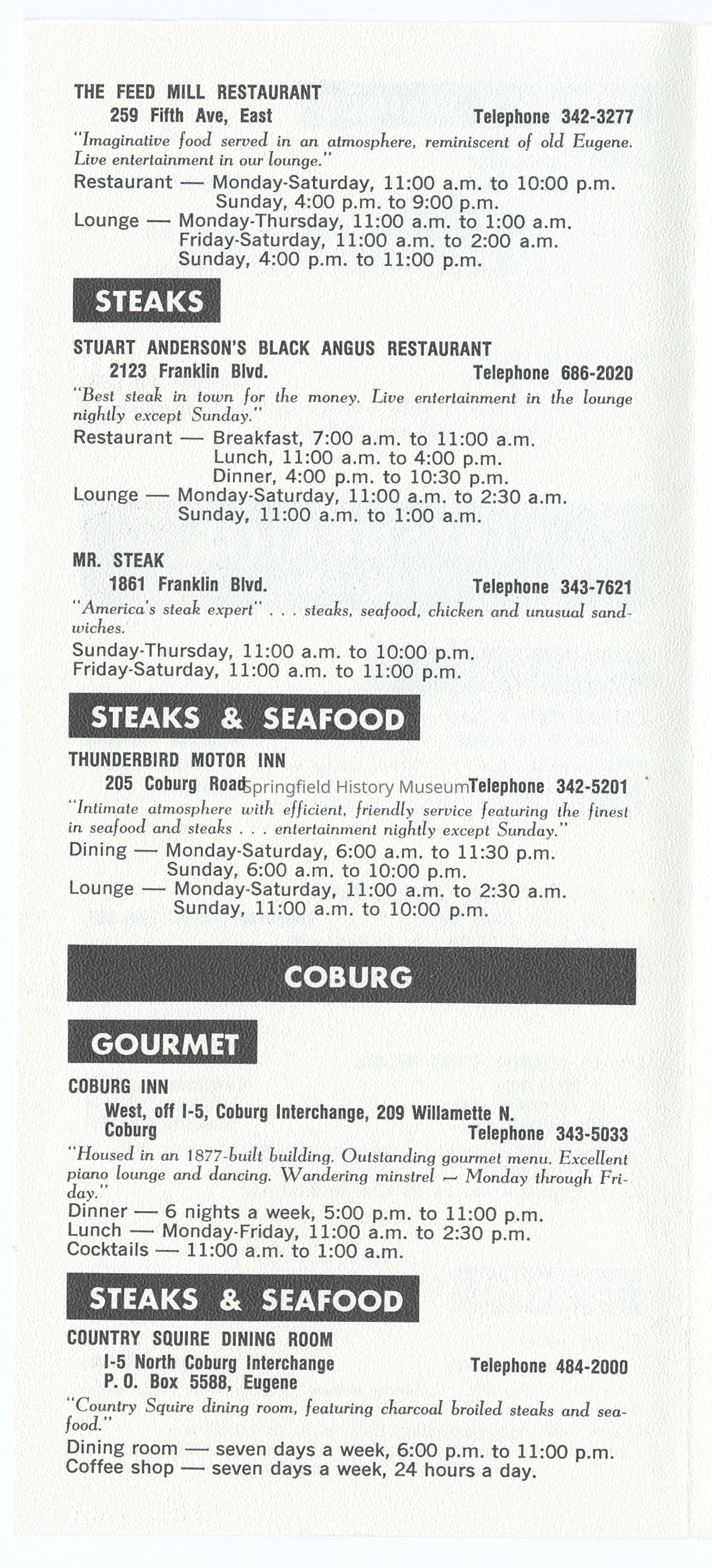
Name/Title
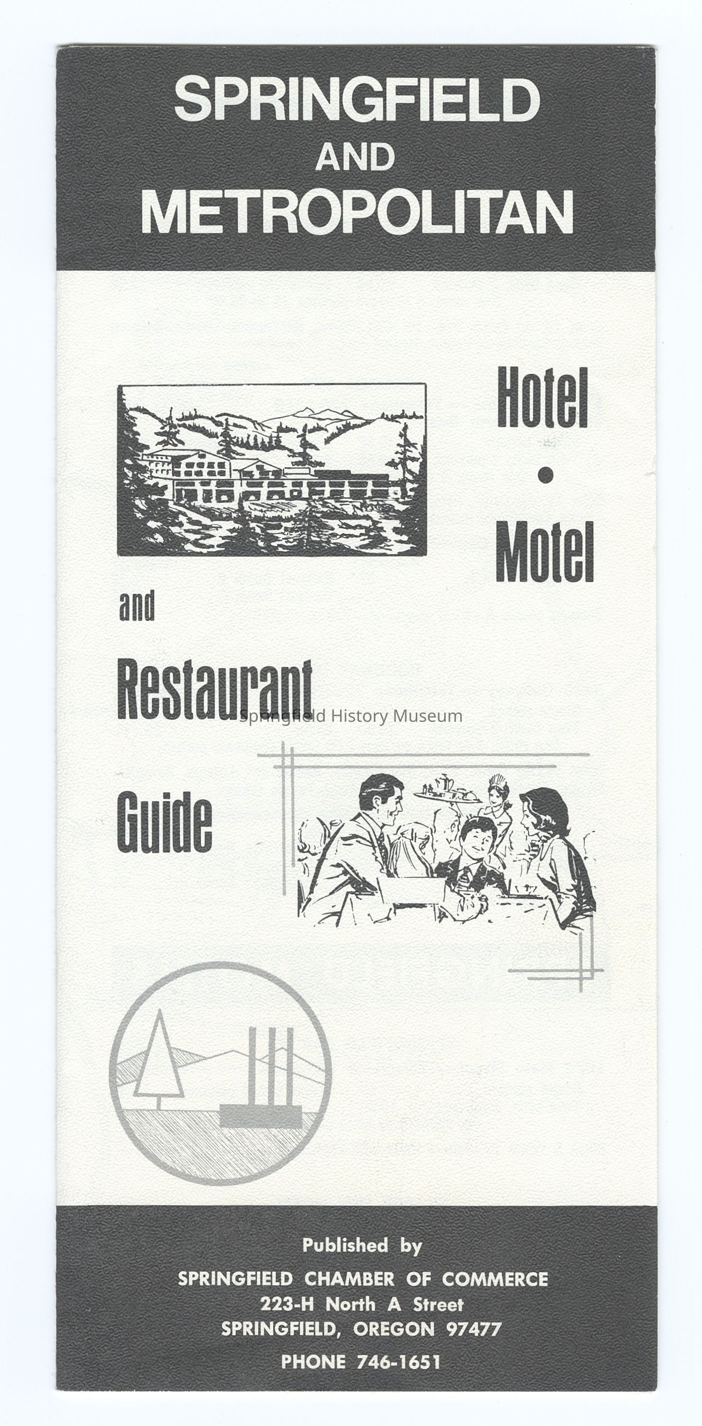
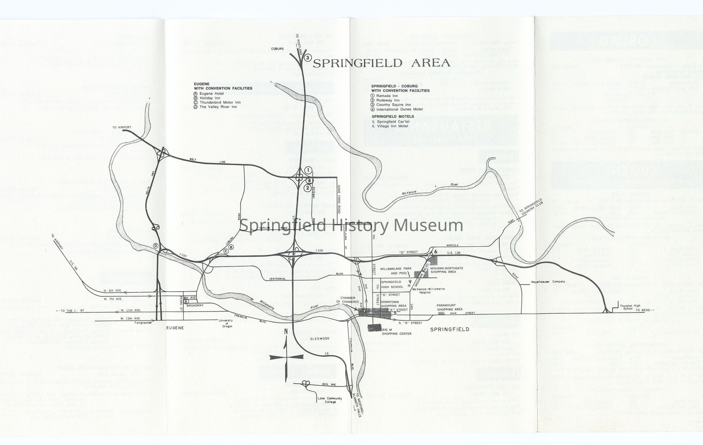
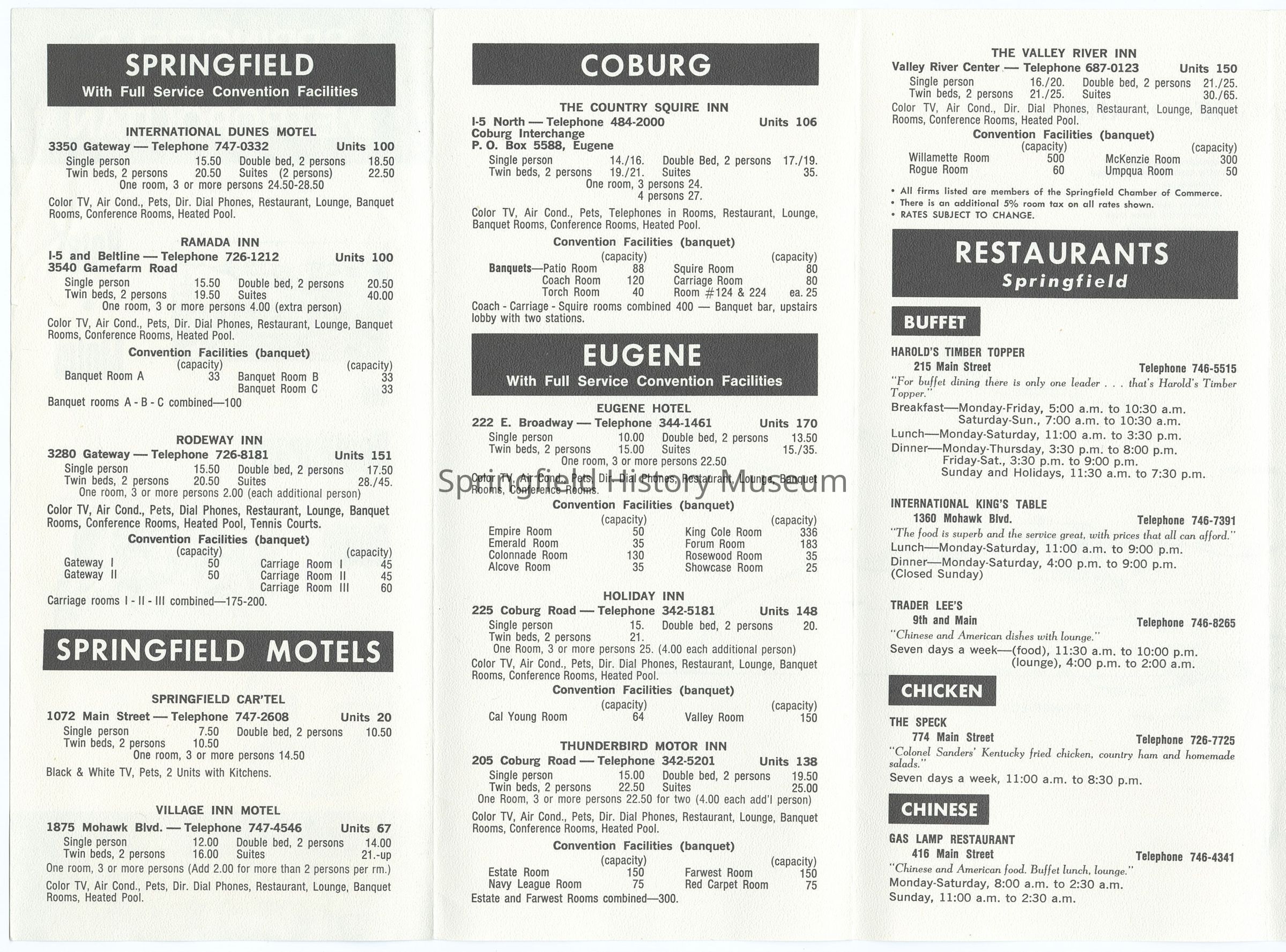
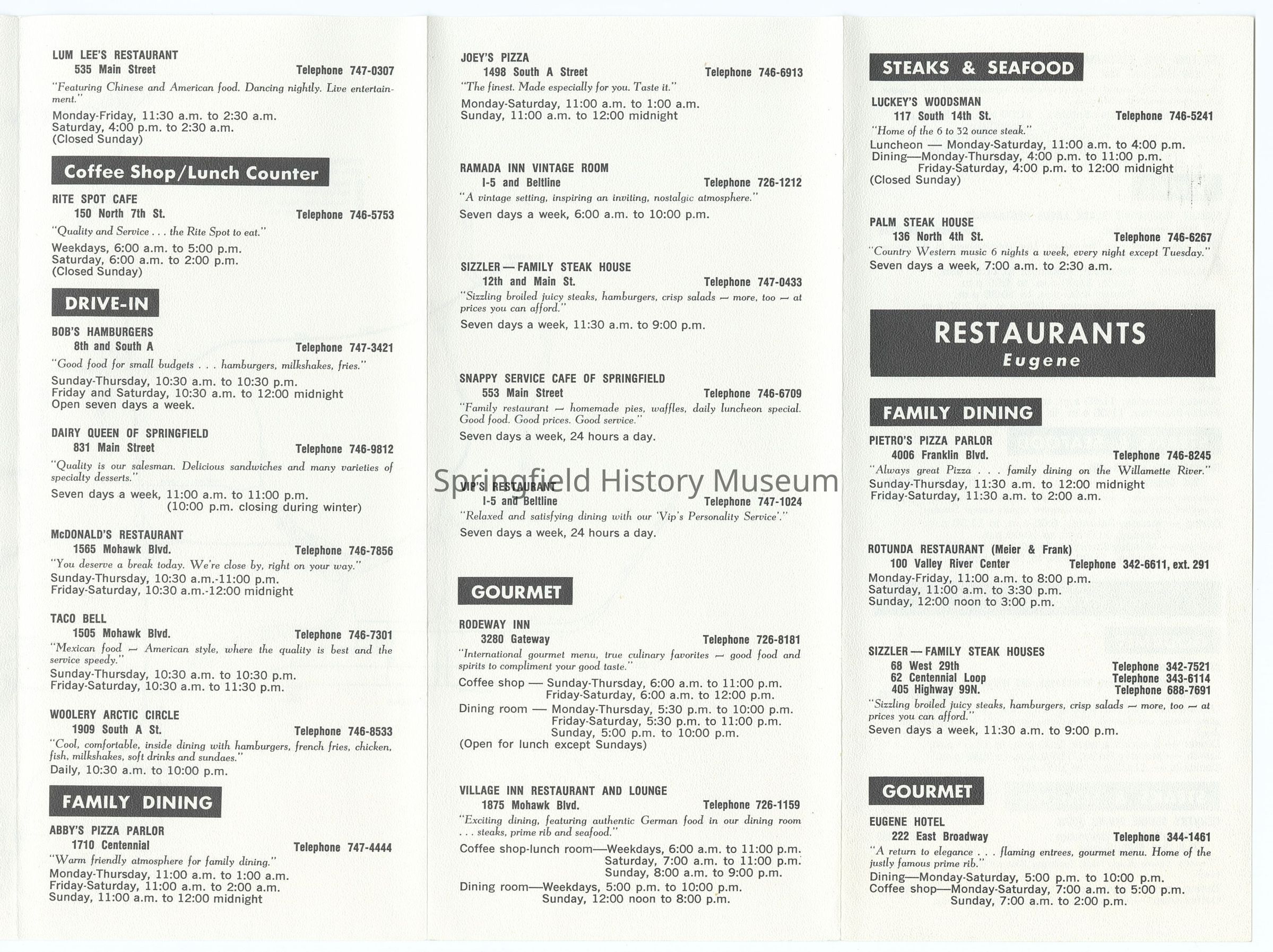
Tourist Map of Springfield, circa 1970-1980Entry/Object ID
2021.005.904Description
Tourist Map of Springfield, undated, circa 1970-1980.Context
Part of B. Springfield MapsCollection
Springfield Area Chamber of Commerce CollectionLexicon
Search Terms
Tourist Map, Visitors GuideRelationships
Related Places
Place
City
SpringfieldCounty
Lane CountyState/Province
OregonCountry
United States of AmericaContinent
North AmericaCopyright
Type of License
Copyright Not Evaluated, http://rightsstatements.org/vocab/CNE/1.0/Copyright Holder
Springfield Chamber of CommerceCopyright Details
Images on this website are provided by the Springfield History Museum for educational purposes. Researchers assume all responsibility for copyright questions. For inquiries, please contact springfieldmuseum@springfield-or.gov, or use the Image Request Link.