23BN1 Excavation Forms
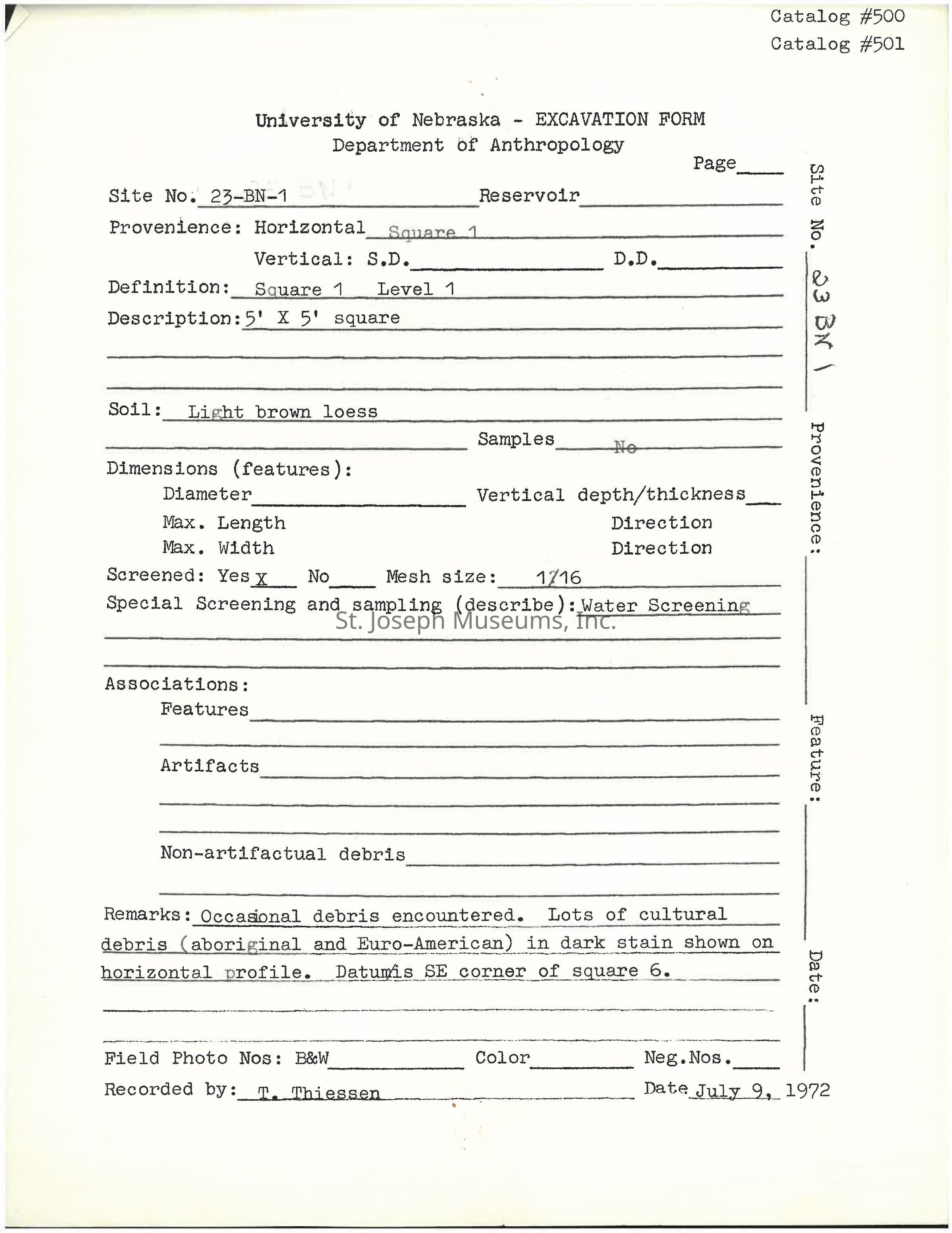
PDF of 43 excavation forms
The image shows an excavation form from the University of Nebraska's Department of Anthropology, designed for recording archaeological details. It specifies the site number as "23-BN-1," describes the location as a reservoir, and mentions horizontal excavation at "Square 1, Level 1," with a 5' x 5' square. The soil is categorized as "light brown loess," and screening was conducted with a "1/16" mesh size. The form notes that water screening was used
Name/Title
23BN1 Excavation FormsEntry/Object ID
2001.15.3848Context
1972 excavation forms from the Univ. of Nebraska Department of Anthropology for site number 23BN1 - King Hill excavation. Excavation forms detail levels/squares and include a profile drawing for each. Describes soil, sampling techniques used, any artifacts found, any notable features in the square.Collection
Archaeology Documents, 23BN1Lexicon
Nomenclature 4.0
Nomenclature Primary Object Term
FormNomenclature Sub-Class
Other DocumentsNomenclature Class
Documentary ObjectsNomenclature Category
Category 08: Communication ObjectsEthnography
Culture/Tribe
Kaw Nation
Native American