23BN1 Profile Sketches
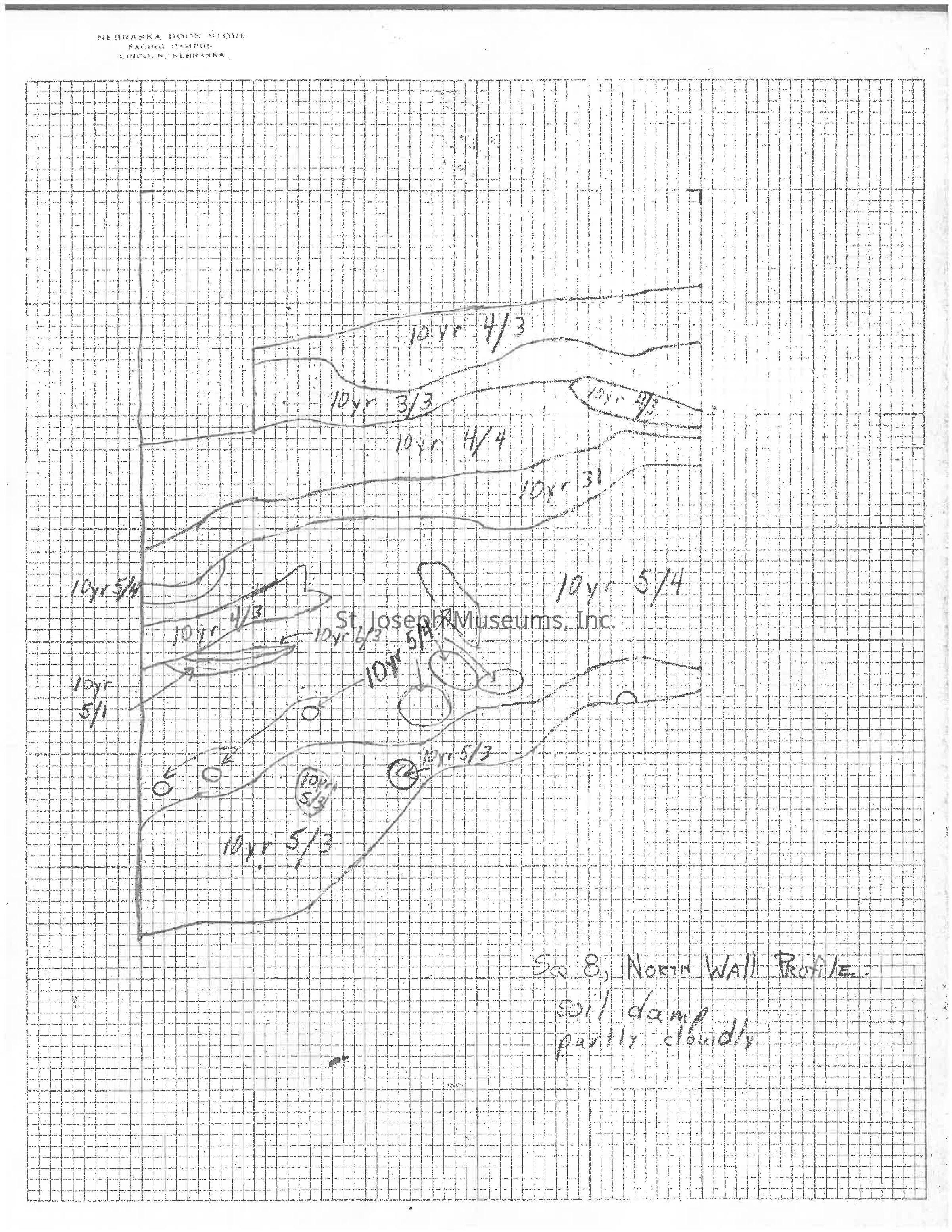
PDF of 27 profile sketches: The image displays a detailed hand-drawn soil profile sketch, observed on a grid paper with numerous contour lines and various numerical notations indicating different soil layers. The labels such as "10YR 5/4" and "10YR 3/3" suggest color or composition codes, often used in soil science. The text at the bottom right denotes "Sq. 8, North Wall Profile" and mentions "soil damp, partly cloudy," likely providing context about the dig
PDF of 27 profile sketches

The image displays a detailed hand-drawn soil profile sketch, observed on a grid paper with numerous contour lines and various numerical notations indicating different soil layers. The labels such as "10YR 5/4" and "10YR 3/3" suggest color or composition codes, often used in soil science. The text at the bottom right denotes "Sq. 8, North Wall Profile" and mentions "soil damp, partly cloudy," likely providing context about the dig

Name/Title

23BN1 Profile Sketches

Entry/Object ID

2001.15.3856

Context

Copies of profile sketches from King Hill excavation (23BN1)

Collection

Archaeology Documents, 23BN1

Lexicon

Nomenclature 4.0

Nomenclature Primary Object Term

Sketch

Nomenclature Class

Art

Nomenclature Category

Category 08: Communication Objects

Relationships

Related Places

Place

Location

23 BN 1

County

Buchanan County

State/Province

Missouri