Administrative Record
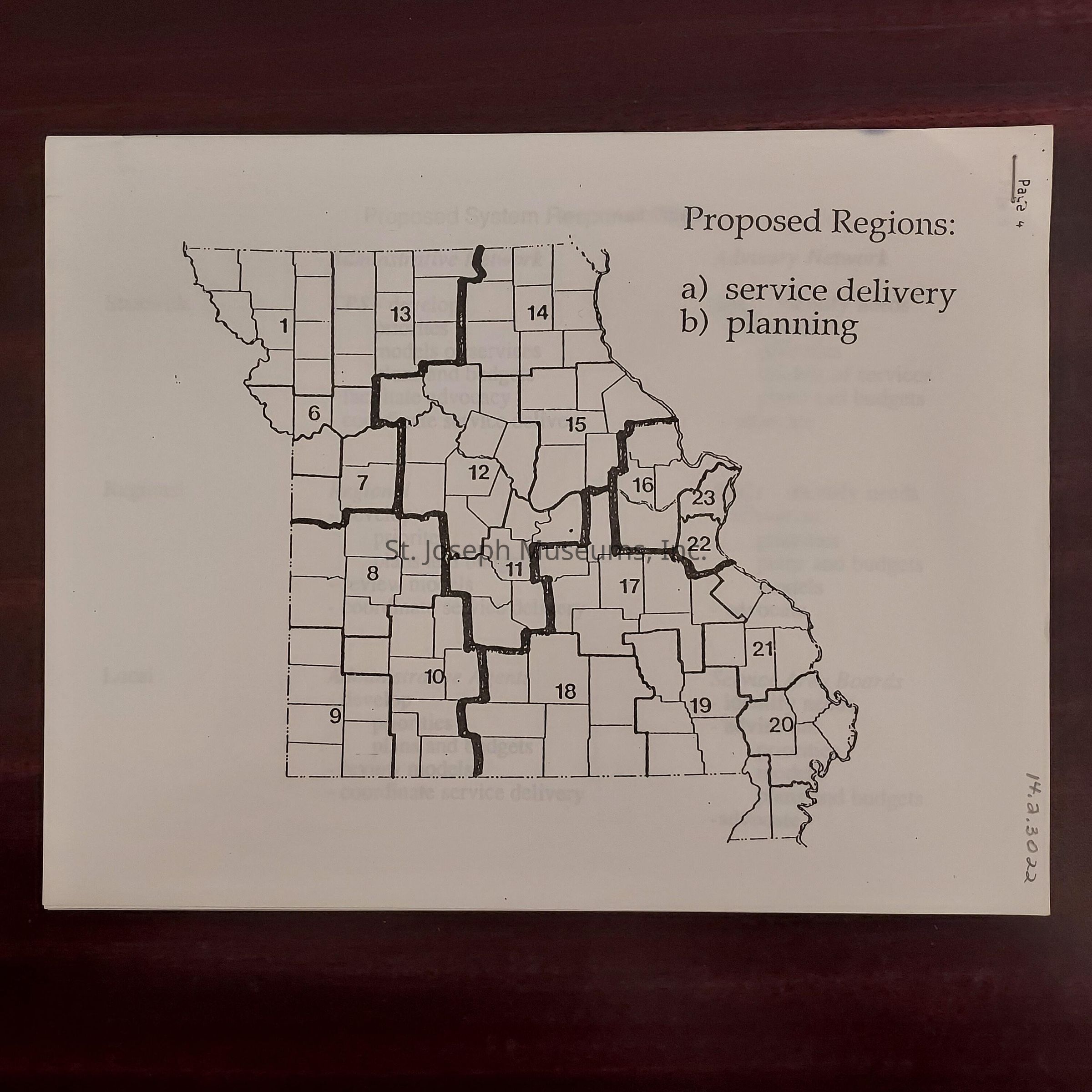
The image shows a black and white map of Missouri, divided into various numbered regions, each bordered by thick black lines differentiating one from another. It delineates a total of 23 regions, each corresponding to different areas within the state, indicating divisions possibly for administrative or planning purposes. To the right of the map, there is text reading "Proposed Regions" followed by two bullet points labeled: "a) service delivery" and "b) planning." This suggests that the map's intention is to outline specific regions for these functions. The numbers inside each region do not follow a linear sequence but rather match specific geographical areas on the map. The map has a white background and is placed on what appears to be a dark wooden surface. On the right bottom margin of the map, a handwritten sequence of numbers reads "1430302," which might signify a reference or identification number related to the document or map.