Name/Title
Alcorn Estates Plat Map, undatedEntry/Object ID
AM1989.1.658Scope and Content
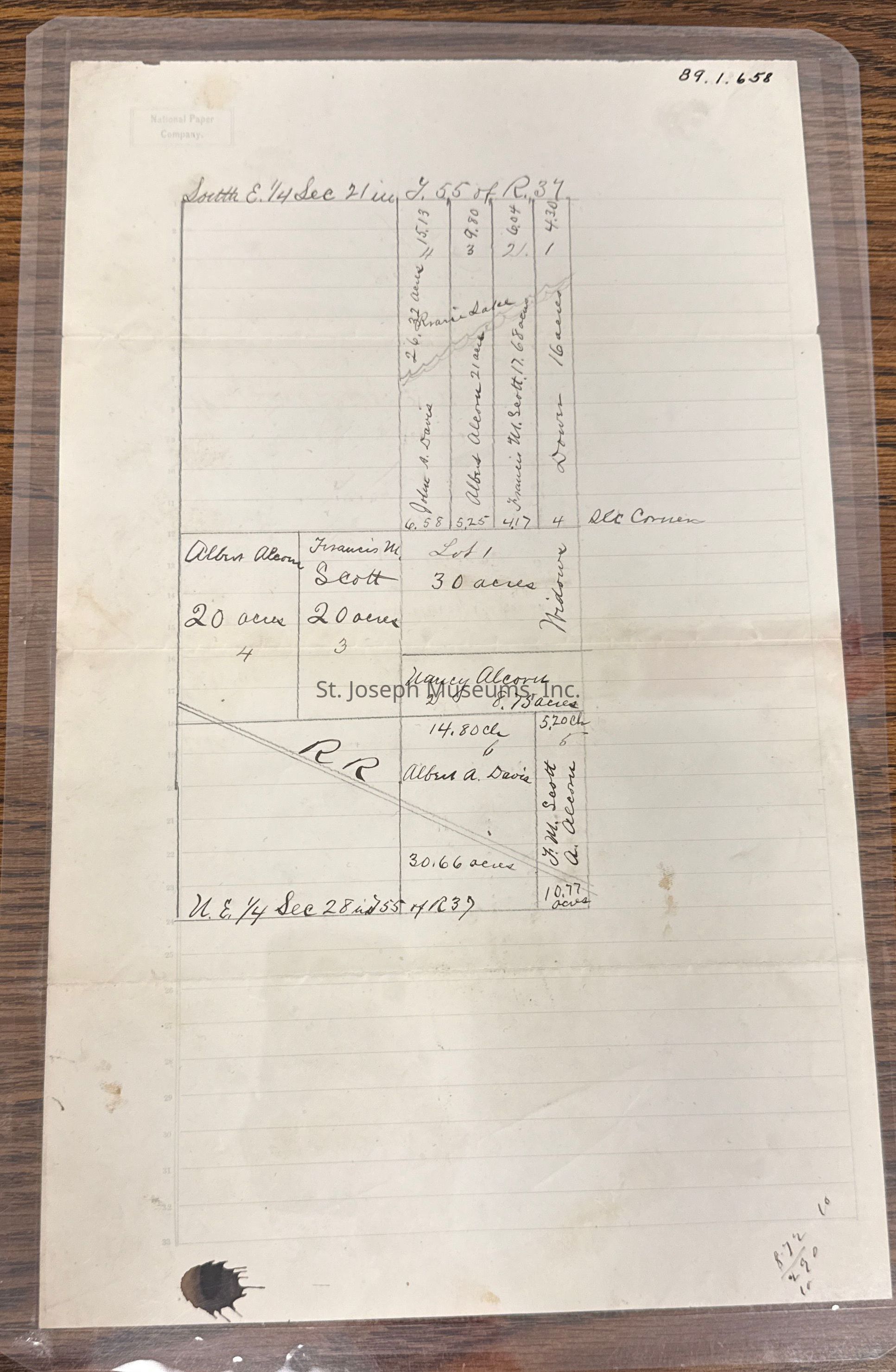
Alcorn Estates Plat Map, undated. Hand-drawn plat map of property identified at top as SE ¼ Sec 21 in Township 55 of Range 37, and at bottom as N.E. ¼ Sec 28 in Township 55, of Range 37. undated, but early document.
Lots are attributed to John A. Davis, Albert Alcorn, Francis M. Scott, Dowes, Nancy Alcorn, Albert A. Davis, and widows.
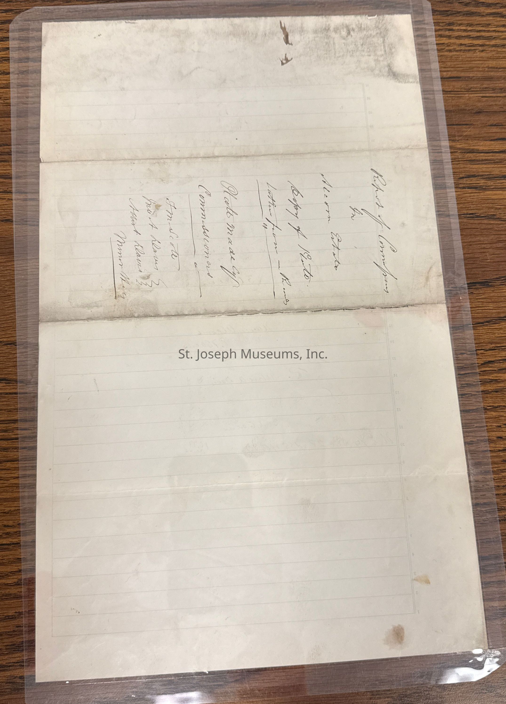
Title on back of plat." "Report of Companies in Alcorn Estates. Copy of Plat latter from Records. Plat made by Commissioners, F.M. Scott, Jno. A. Davis, Albert Davis, Minor Kids (?).Lexicon
Nomenclature 4.0
Nomenclature Tertiary Object Term
PlatNomenclature Secondary Object Term
MapNomenclature Primary Object Term
CartographNomenclature Sub-Class
Graphic DocumentsNomenclature Class
Documentary ObjectsNomenclature Category
Category 08: Communication ObjectsSearch Terms
Alcorn EstatesRelationships
Related Person or Organization
Person or Organization
Francis ScottPerson or Organization
Albert AlcornPerson or Organization
Nancy AlcornPerson or Organization
John A. DavisPerson or Organization
Albert Davis