Name/Title
Archaeological ReportEntry/Object ID
9999.999.3454Description
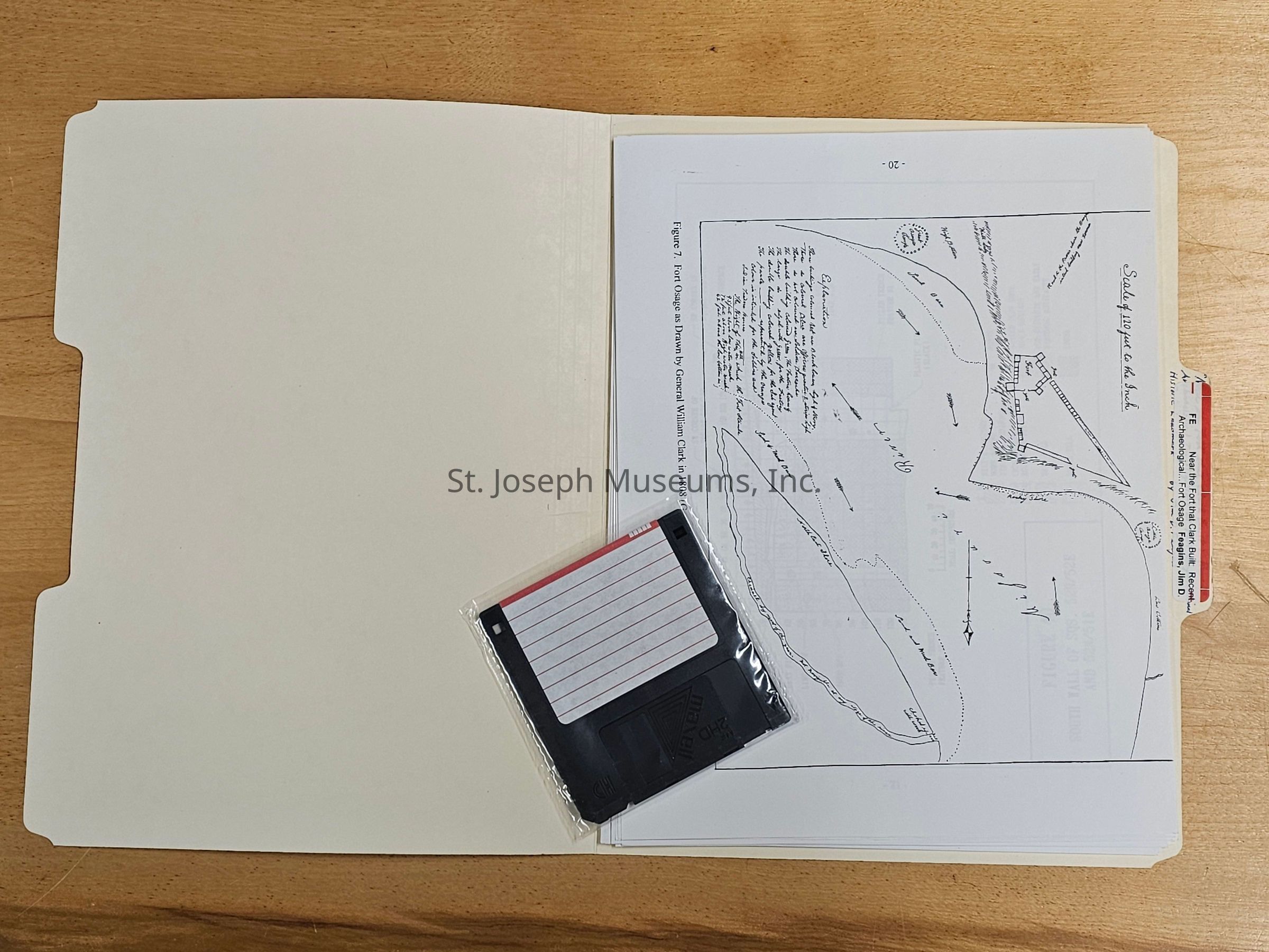
Near the Fort That Clark Built: Recent Archaeological Investigation at Fort Osage National Historic Landmark are notes created by Jim D. Feagins concerning an archaeological dig at Fort Osage in Jackson County, Missouri. It details the artifacts they found in the buried plow zone and below, both historic and pre-historic., including military buttons from the Fort period.
Included:
Photocopy Scale map: Fort Osage as Drawn by General William Clark in 1808
Figure 40: South Wall of Sq 52N/52E and 52N/51E
Figure 43: South Wall of Sq 63N/$8E, 63N/49E, 63N/50E, and 63N/51E
Figure 4: Contour Map of a Portion of the Fort Osage National Historic Landmark, Jackson County, Missouri, (After M.J. Harden Assoc, 2001)
folder/15/Loose Pages, printed/Floppy Disc/Illustrations/Maps.Collection
DOCUMENTSLexicon
LOC Thesaurus for Graphic Materials
Historic sites, ArchaeologySearch Terms
Archaeological Digs, Santa Fe Trail, Fort Osage, Forts, MilitaryPublication Details
Author
JIM D. FEAGINSCall No.
Archaeology FENotes
Copy No.: 1Relationships
Related Person or Organization
Person or Organization
JIM D. FEAGINSPerson or Organization
Clark, WilliamPerson or Organization
George SibleyRelated Places
Place
Location
Fort Osage National Historic LandmarkCity
SibleyState/Province
Missouri