Name/Title
Atchison NorthEast Quadrangle, Missouri-Kansas, Map, 1959Entry/Object ID
AM2012.21.454Scope and Content
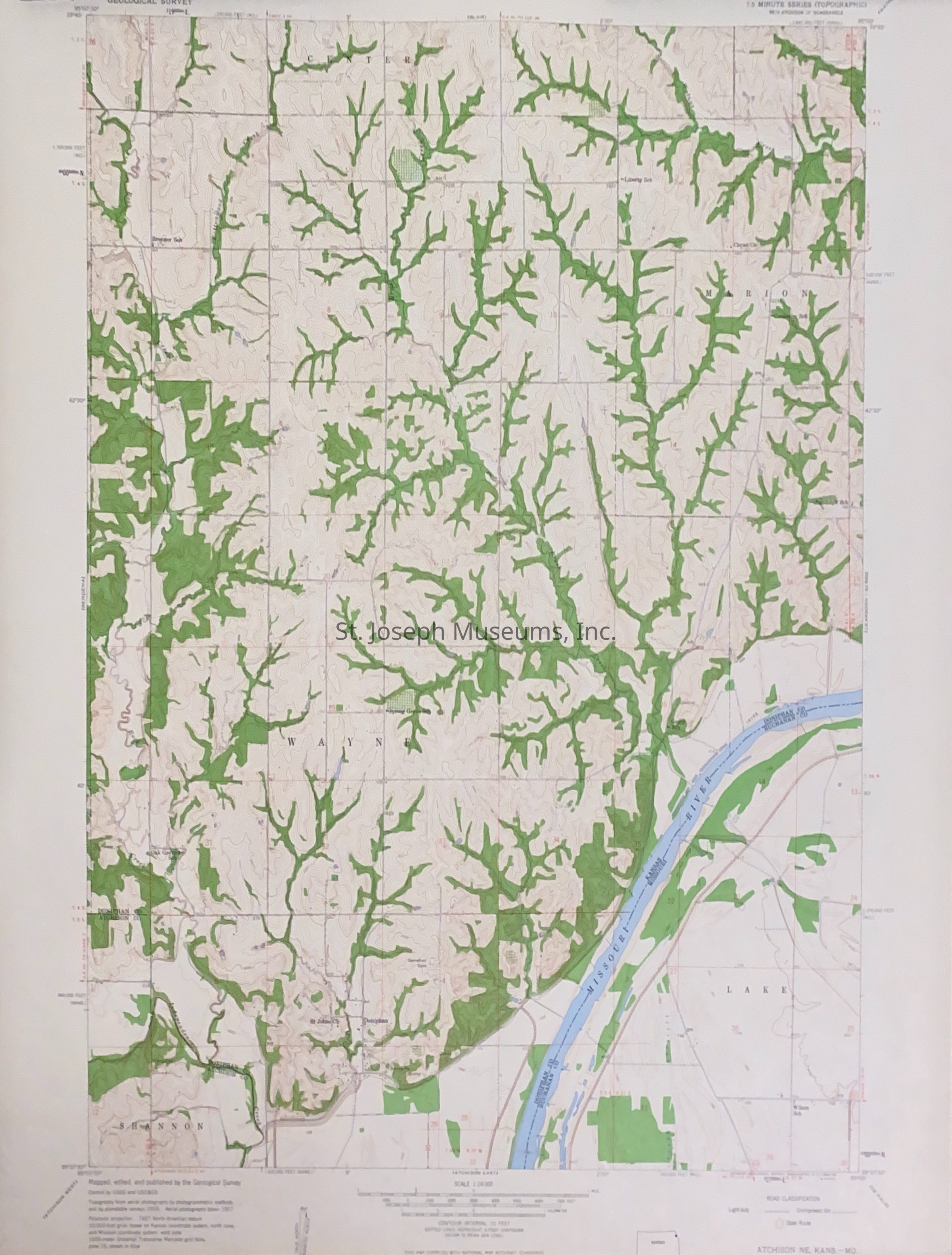
Atchison North East Quadrangle, Missouri-Kansas, Map, 1959. Topographical map of portions Doniphan County, Kansas and Buchanan County, Missouri along Missouri River from near Bendena, KS to Doniphan, KS. 7.5 minute seriesLexicon
Nomenclature 4.0
Nomenclature Secondary Object Term
MapNomenclature Primary Object Term
CartographNomenclature Sub-Class
Graphic DocumentsNomenclature Class
Documentary ObjectsNomenclature Category
Category 08: Communication ObjectsLOC Thesaurus for Graphic Materials
Archaeology, MapsSearch Terms
Atchsion NorthEast Quadrangle, Fisher, Michael, Atchison County, Kansas, Buchanan County, Missouri, Missouri RiverRelationships
Related Person or Organization
Person or Organization
Michael FisherProvenance
Notes
Archival History: 1-File Folder