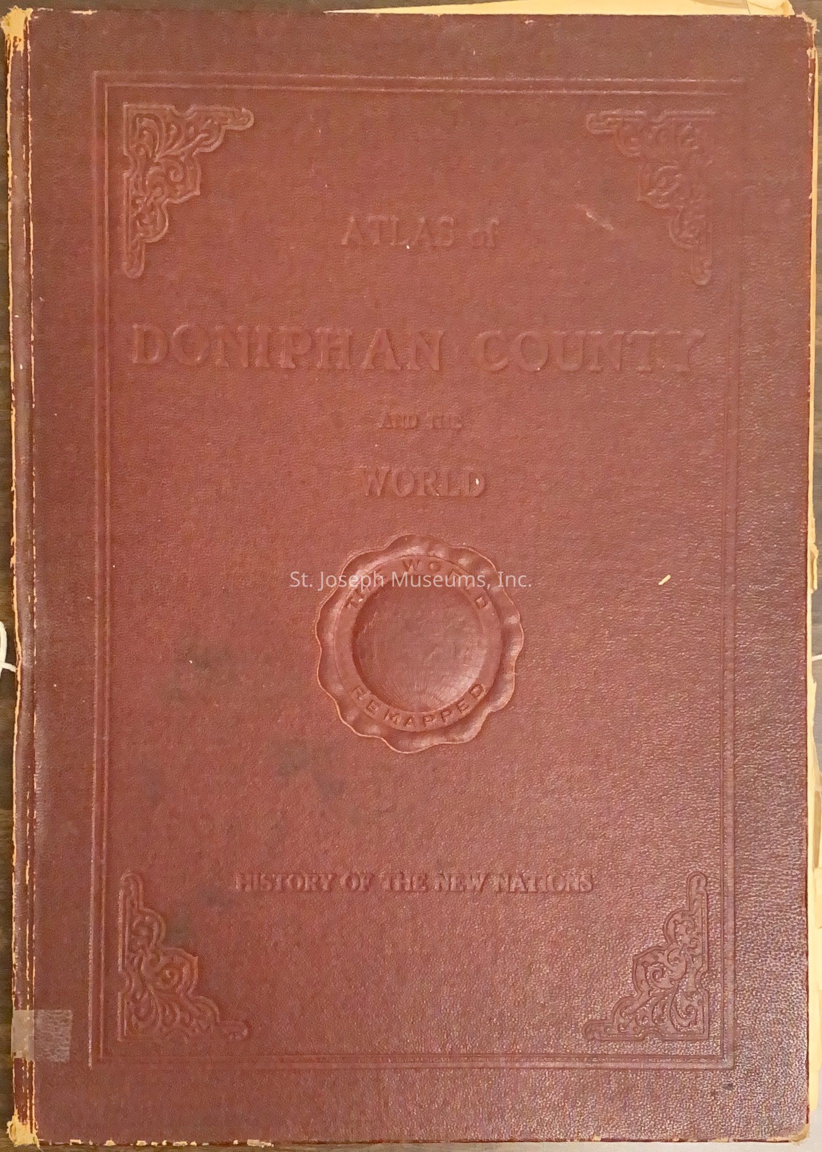
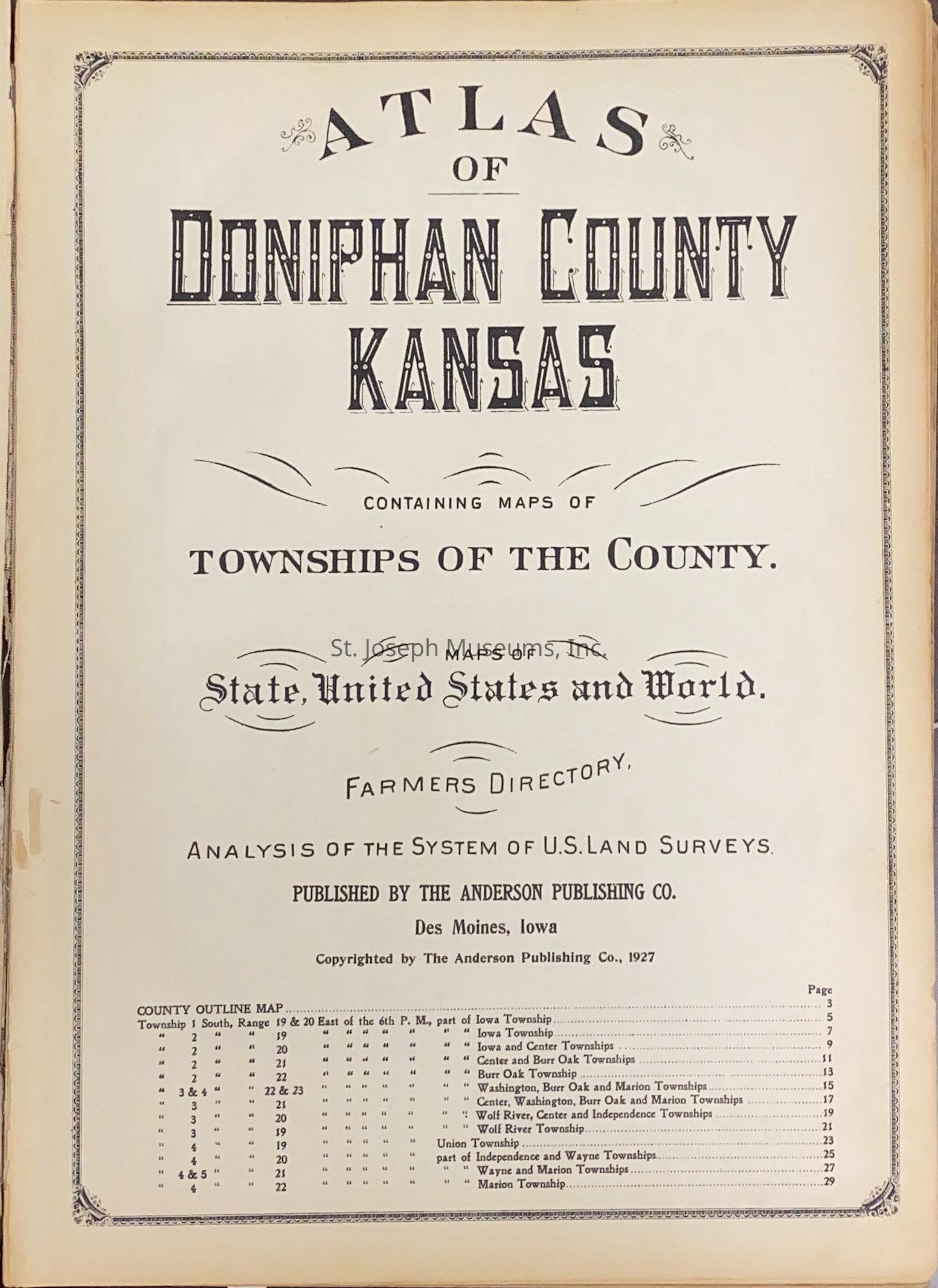
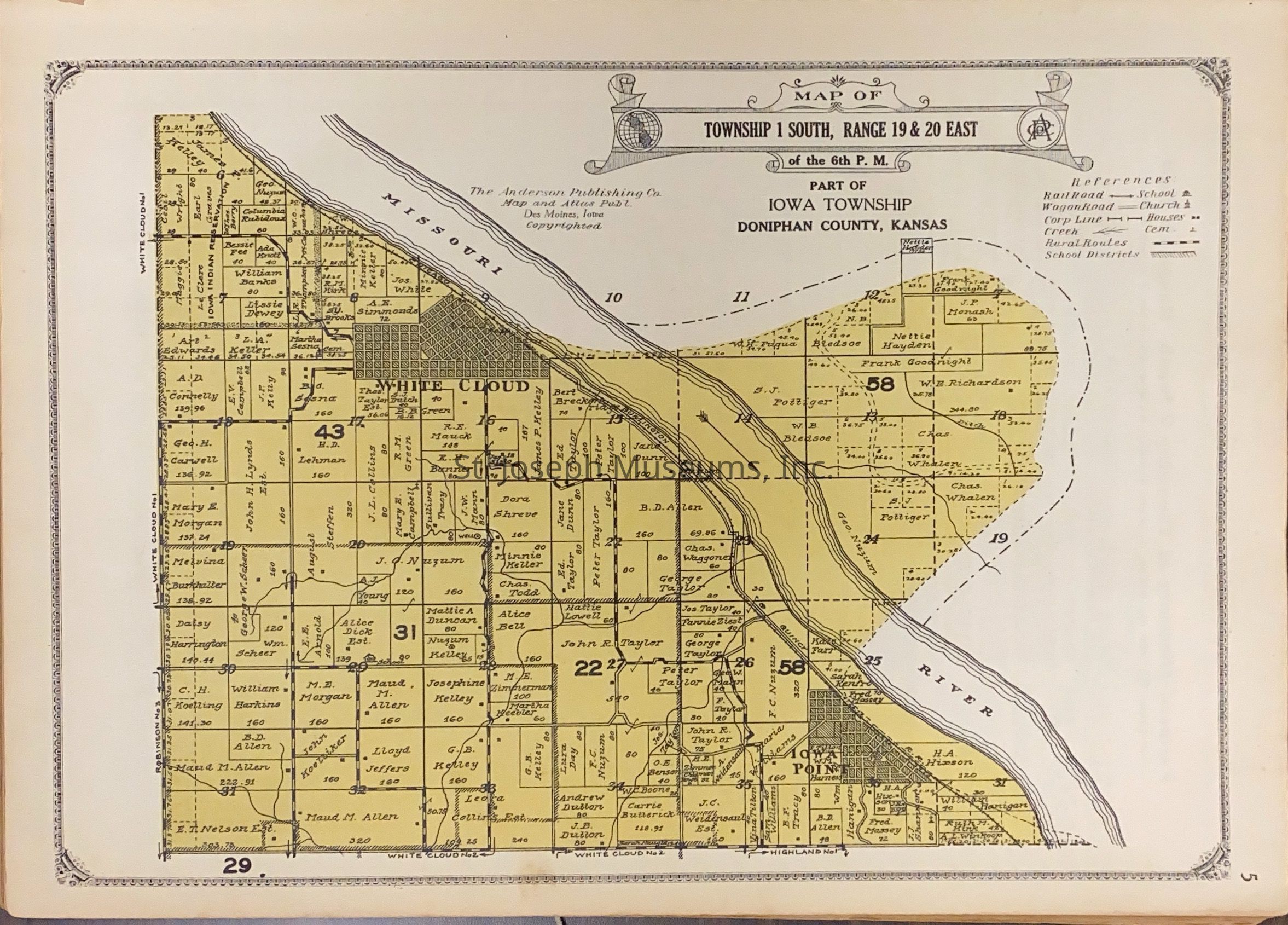
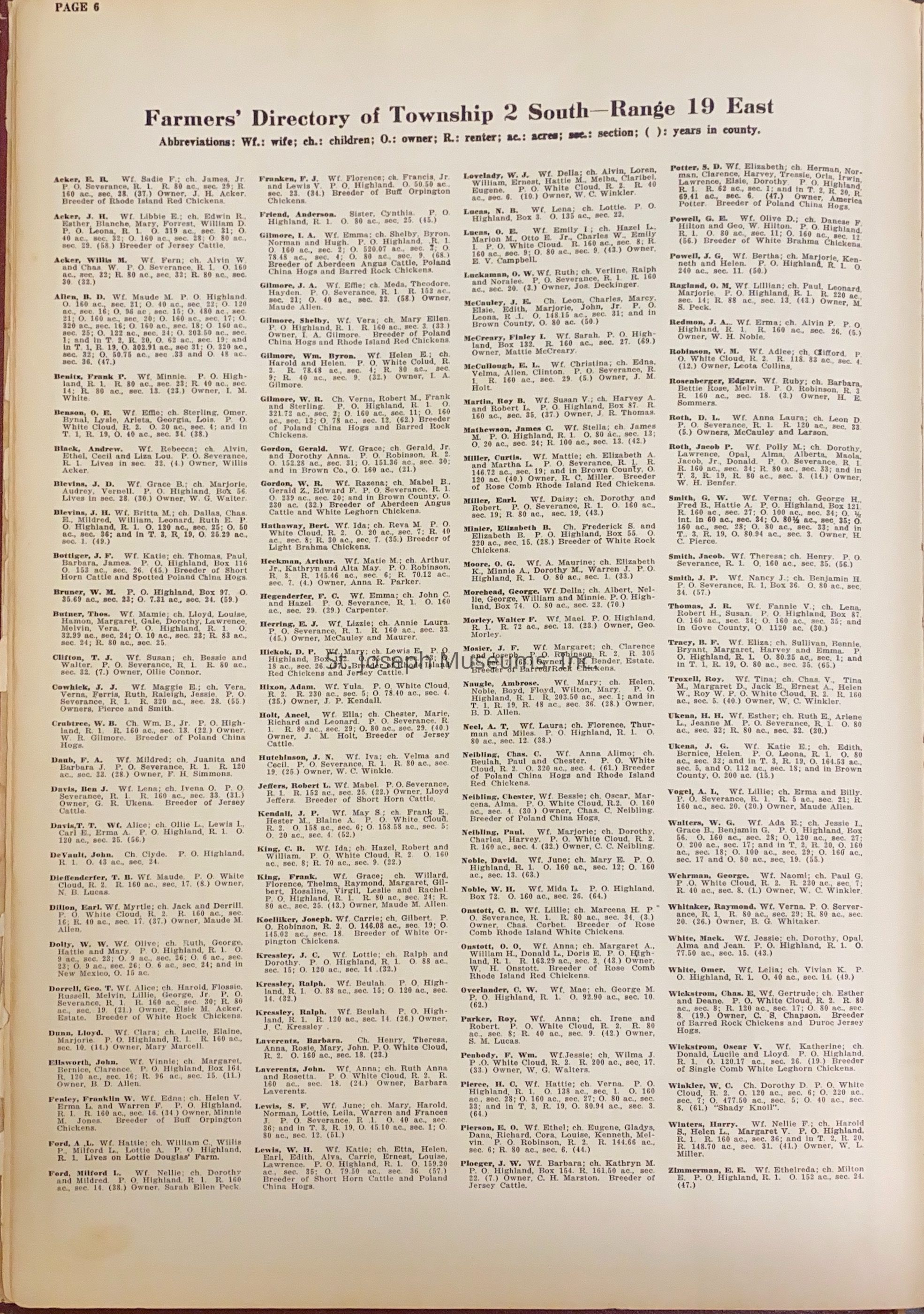
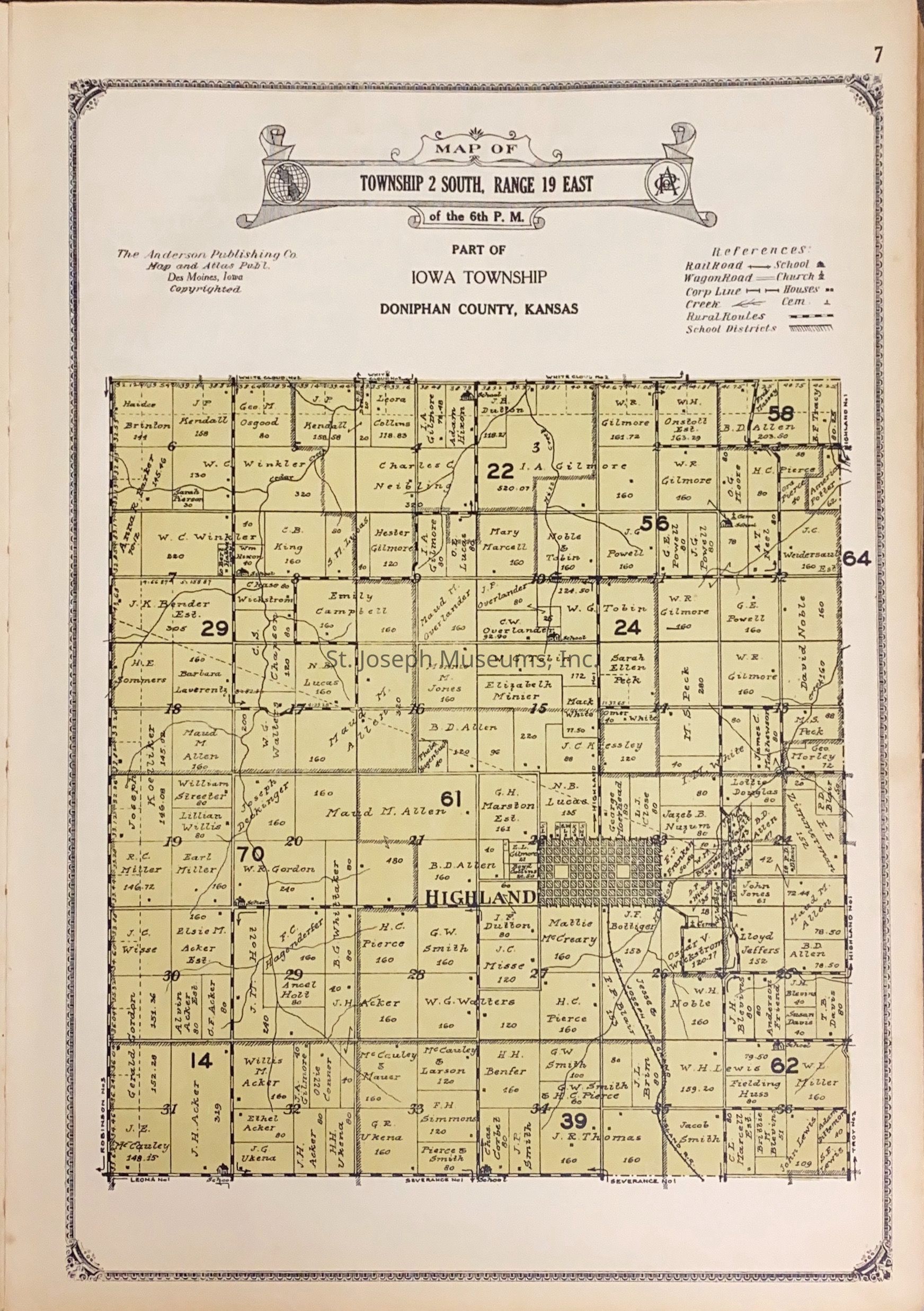
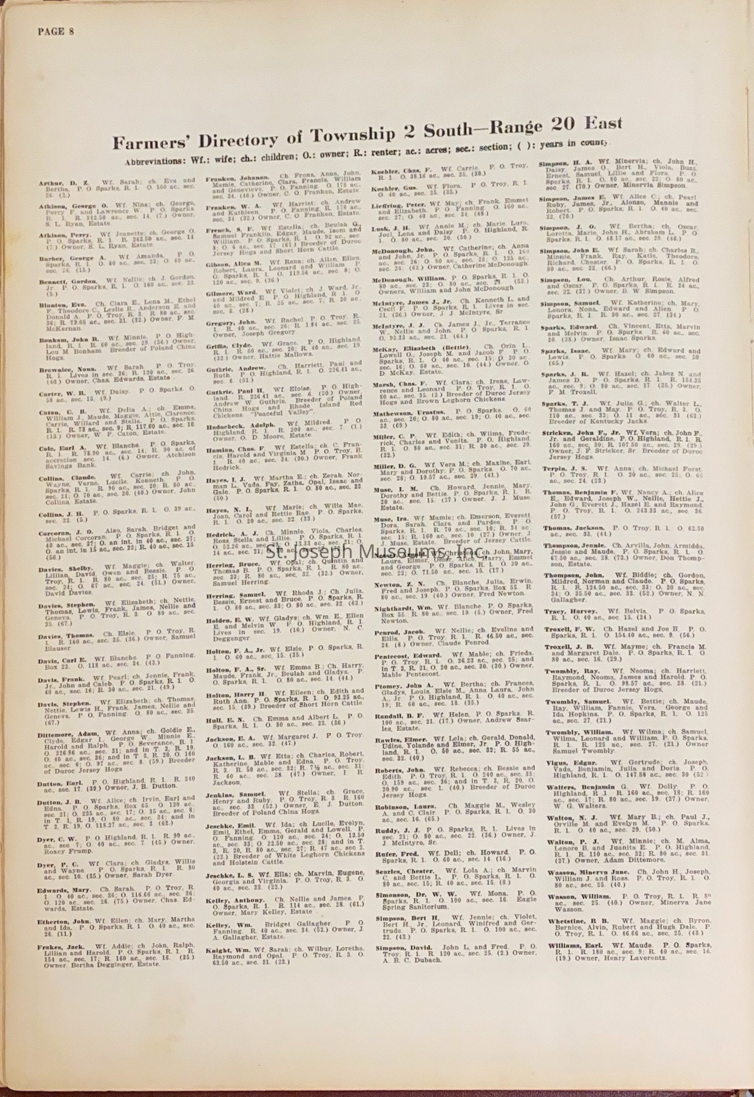
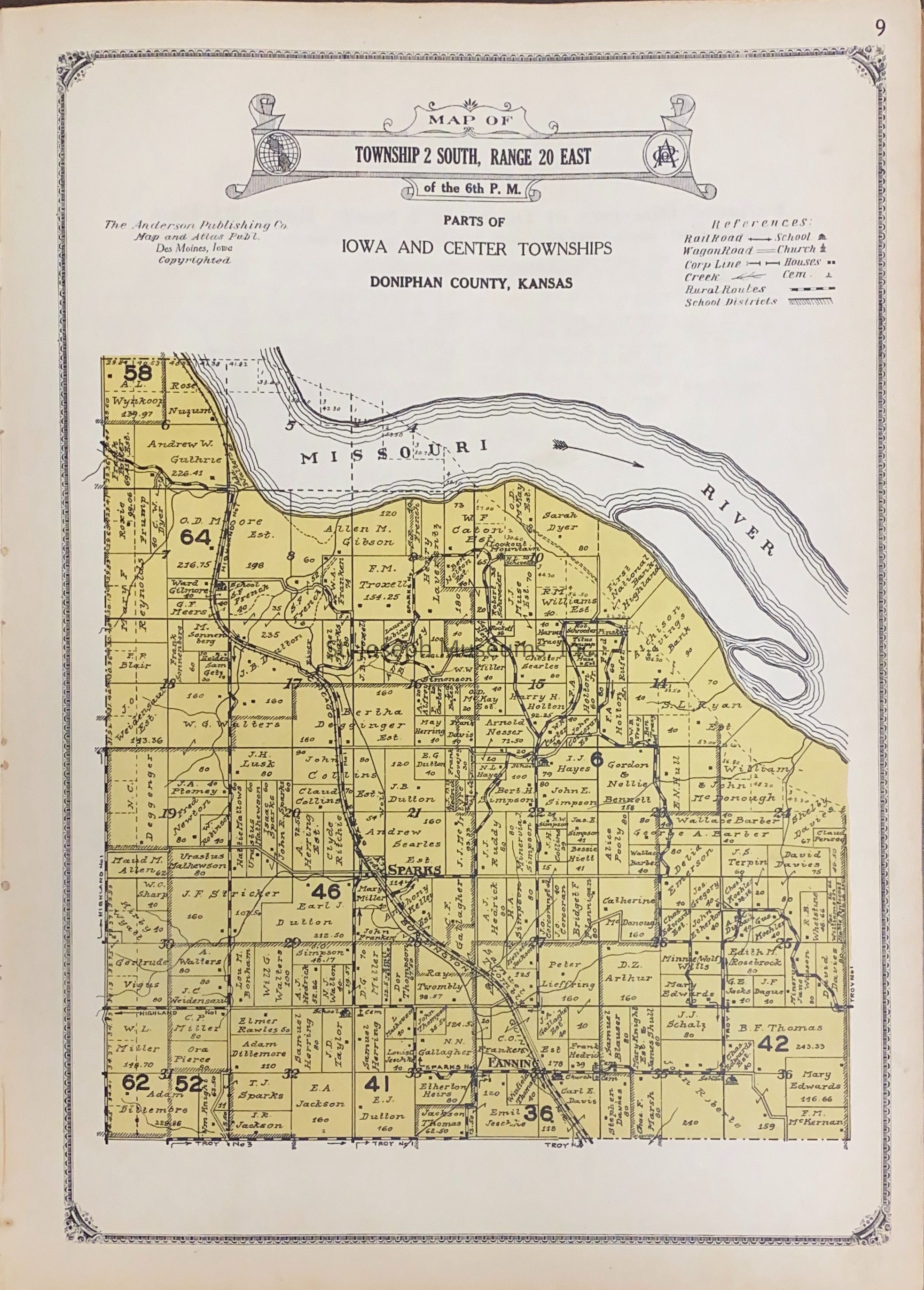
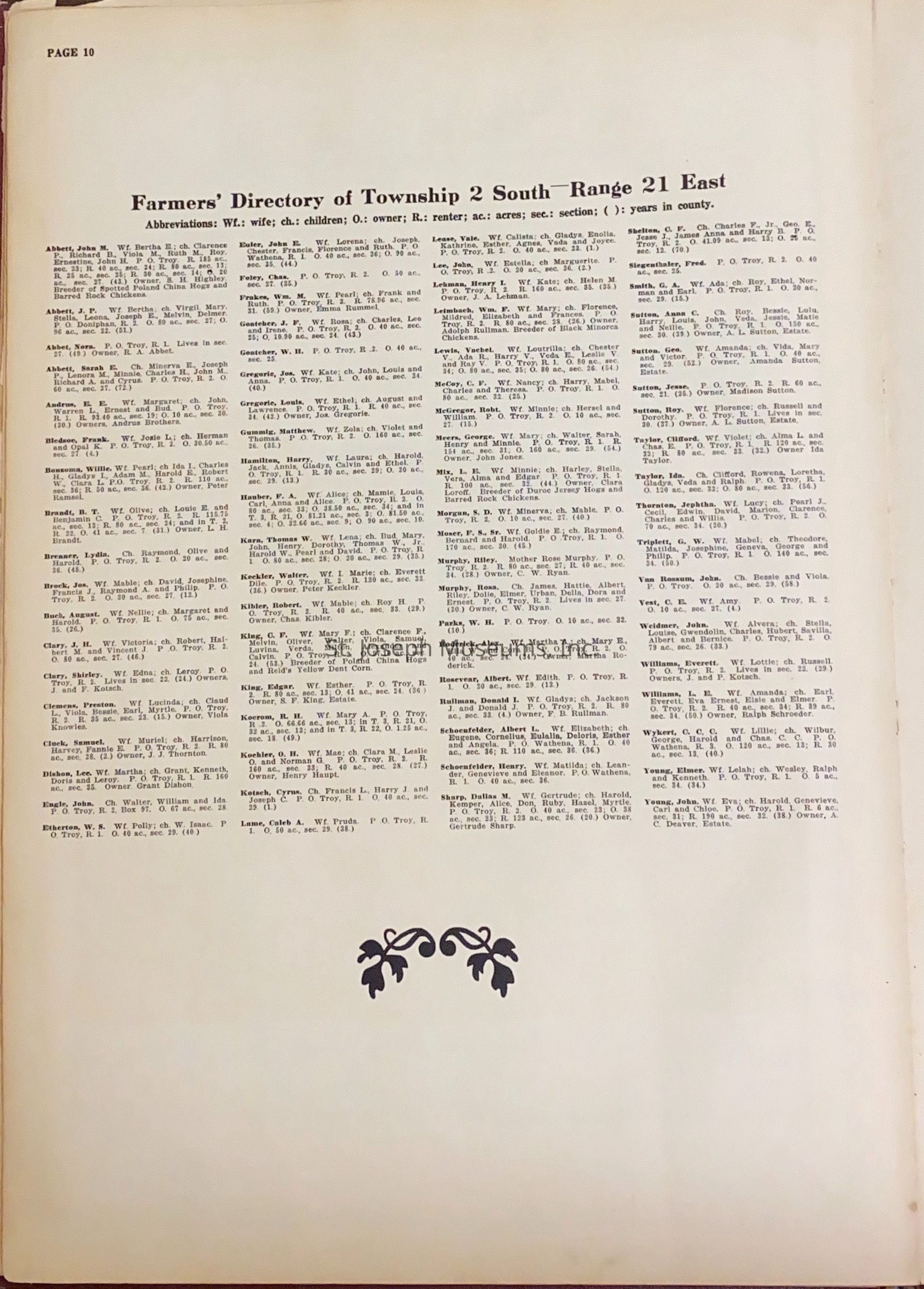
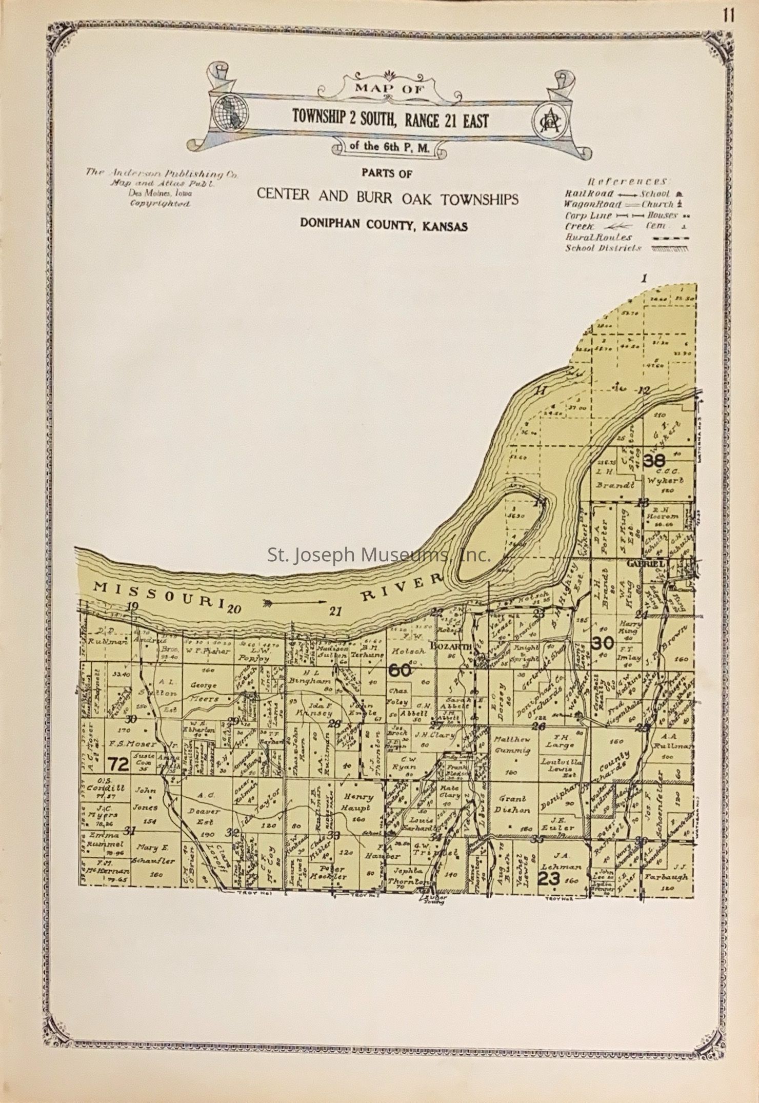
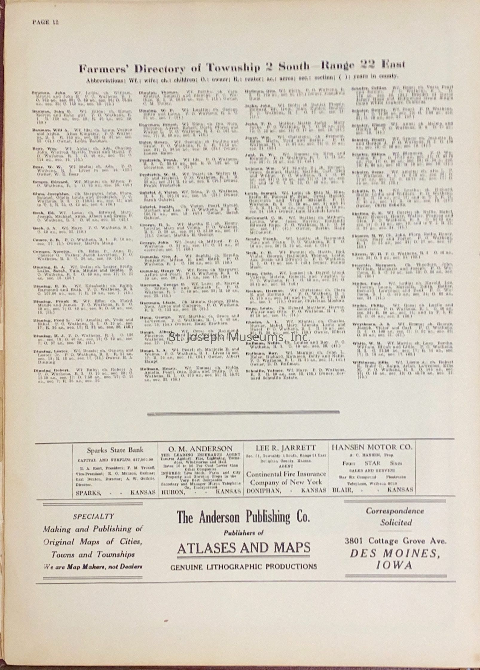
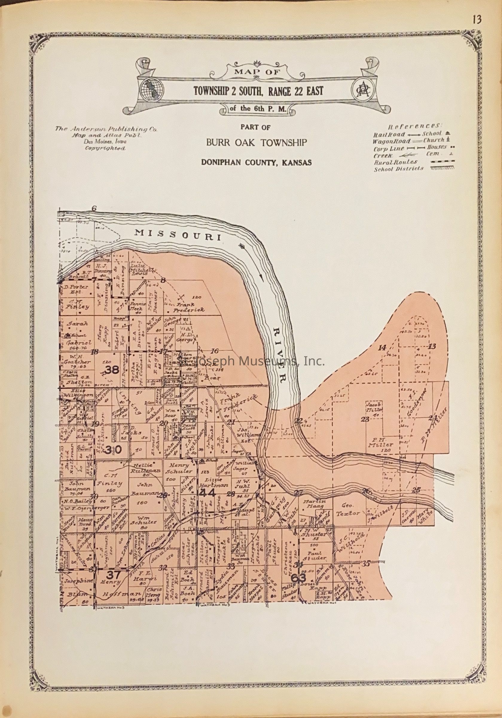
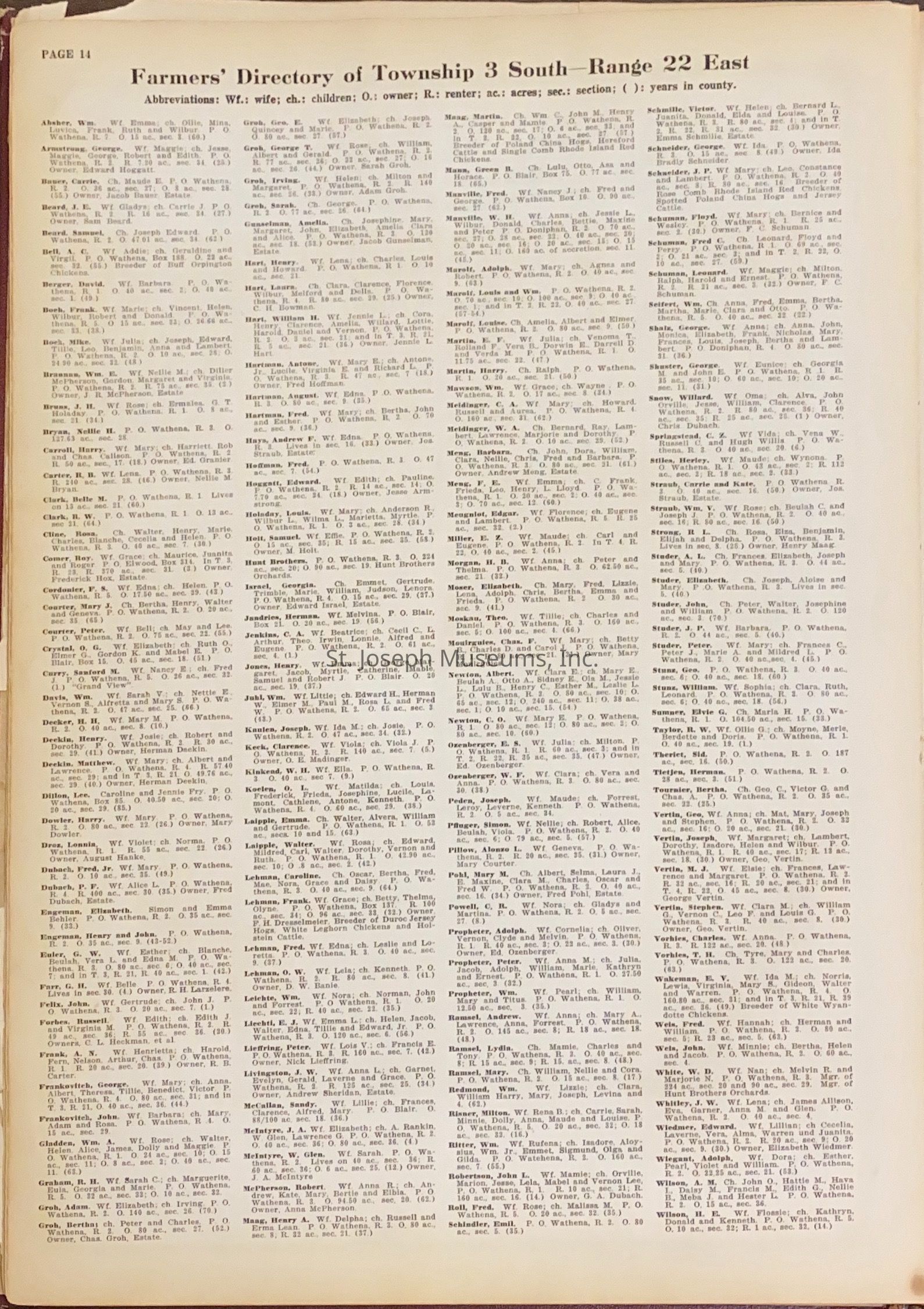
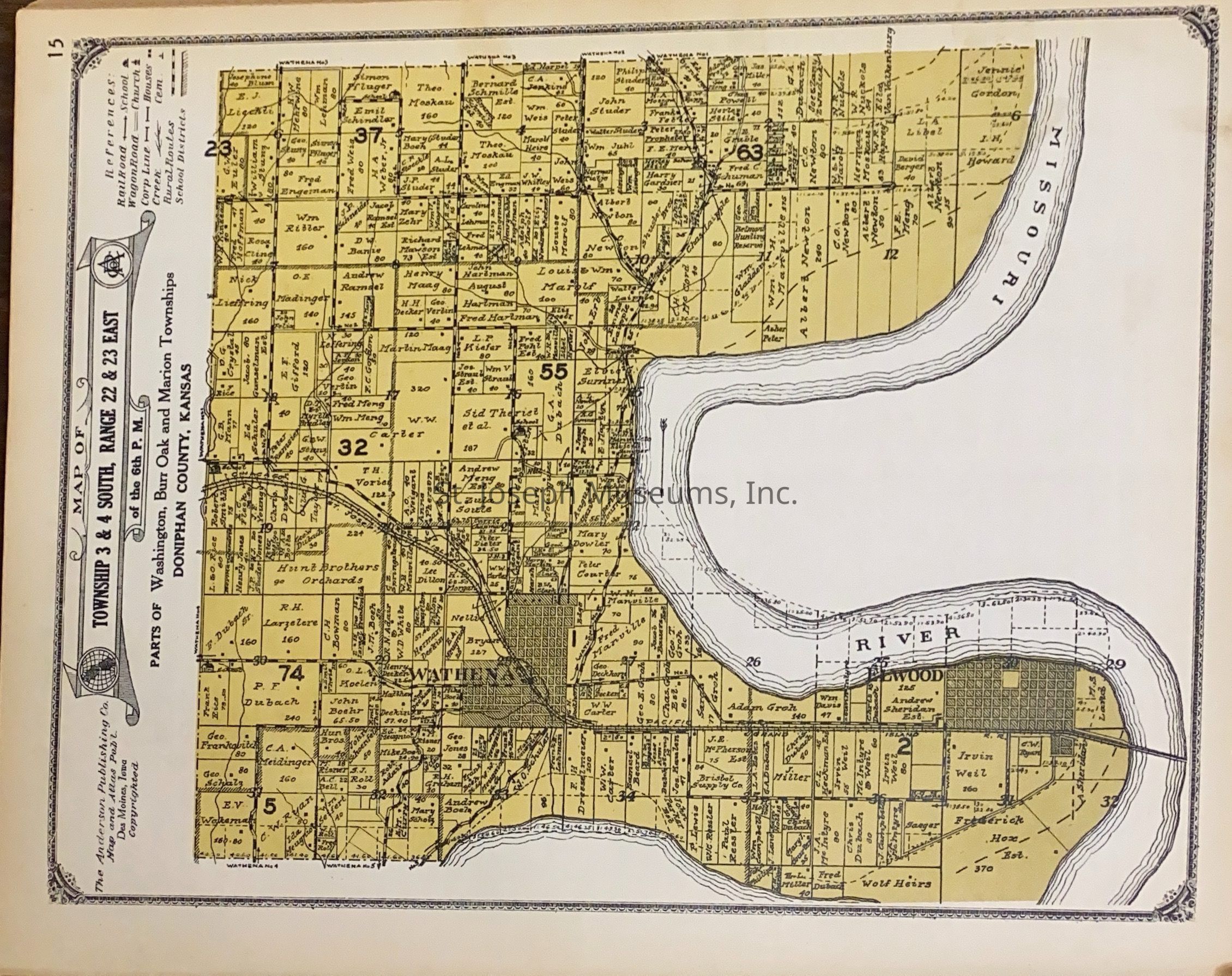
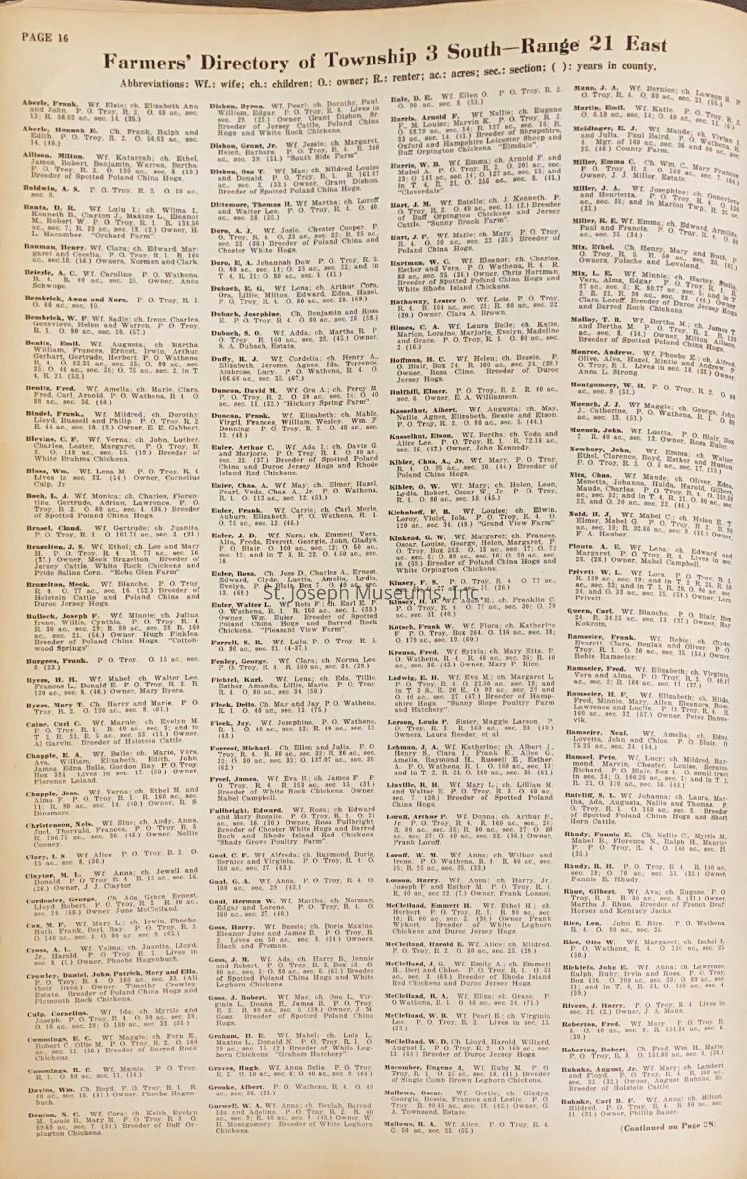
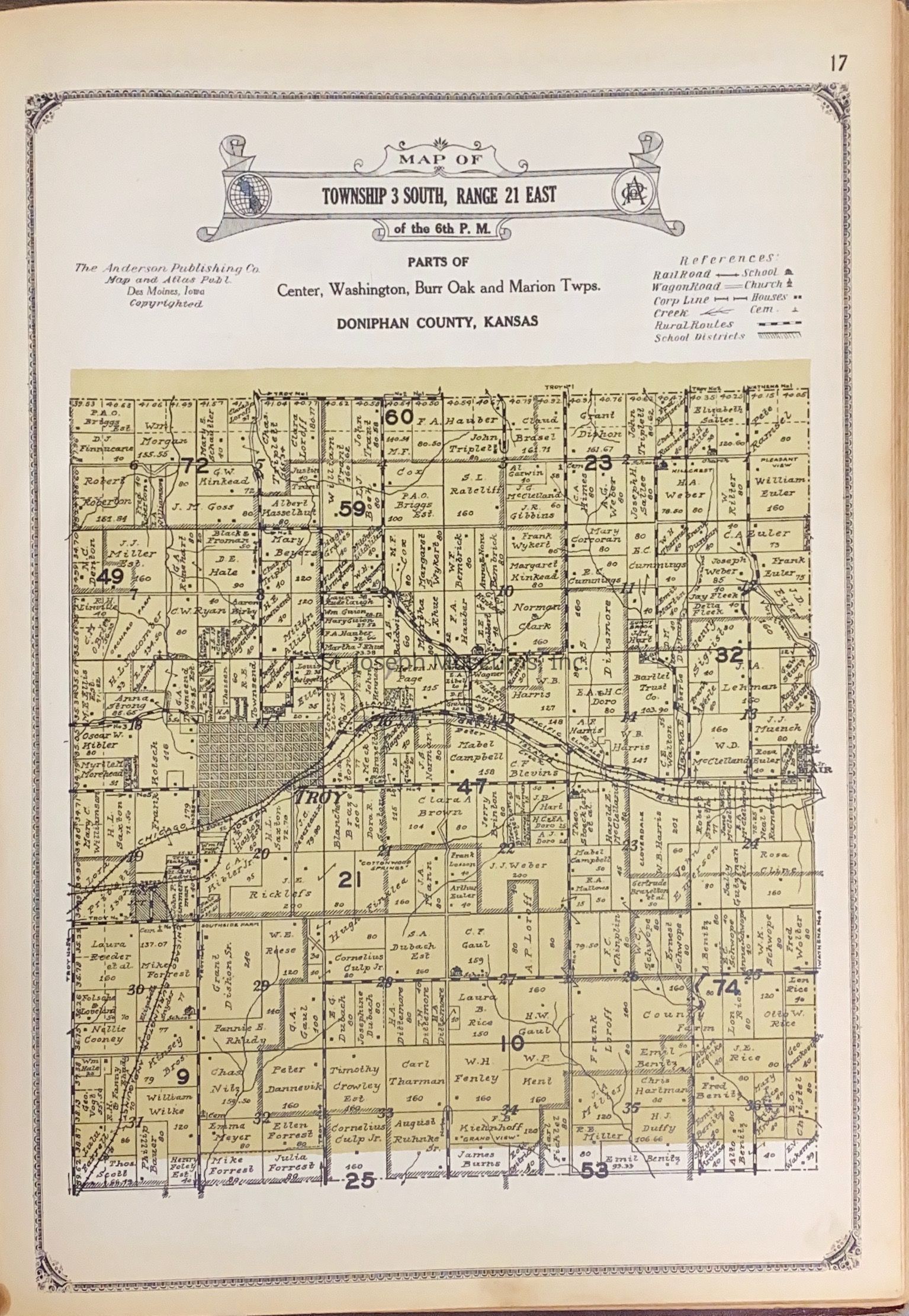
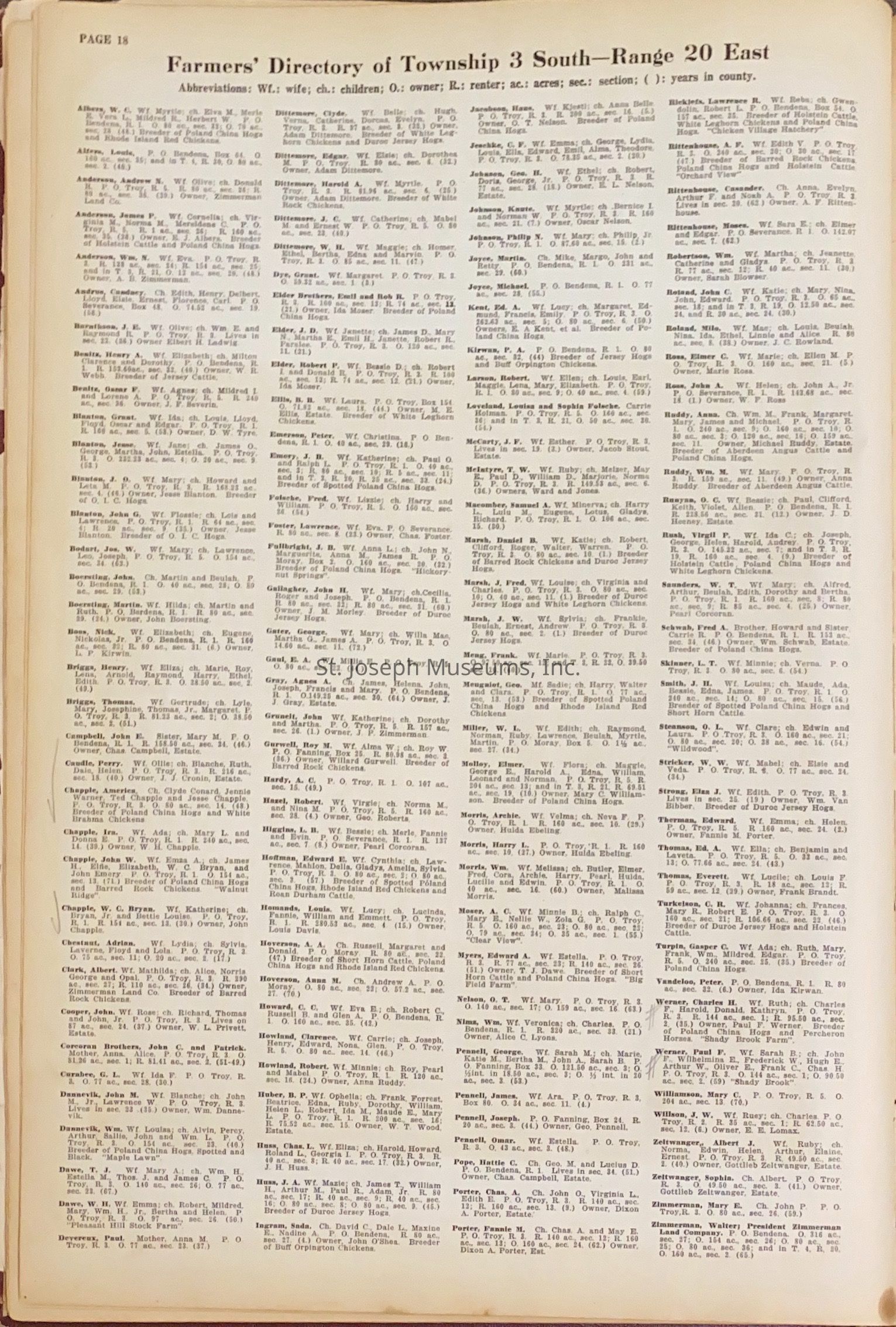
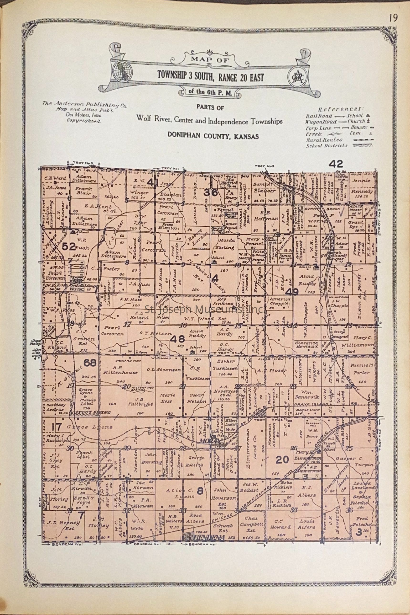
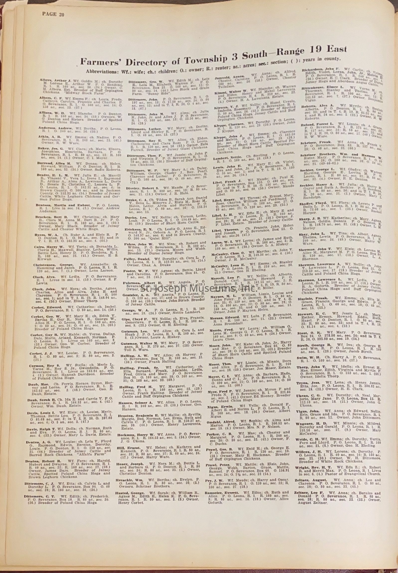
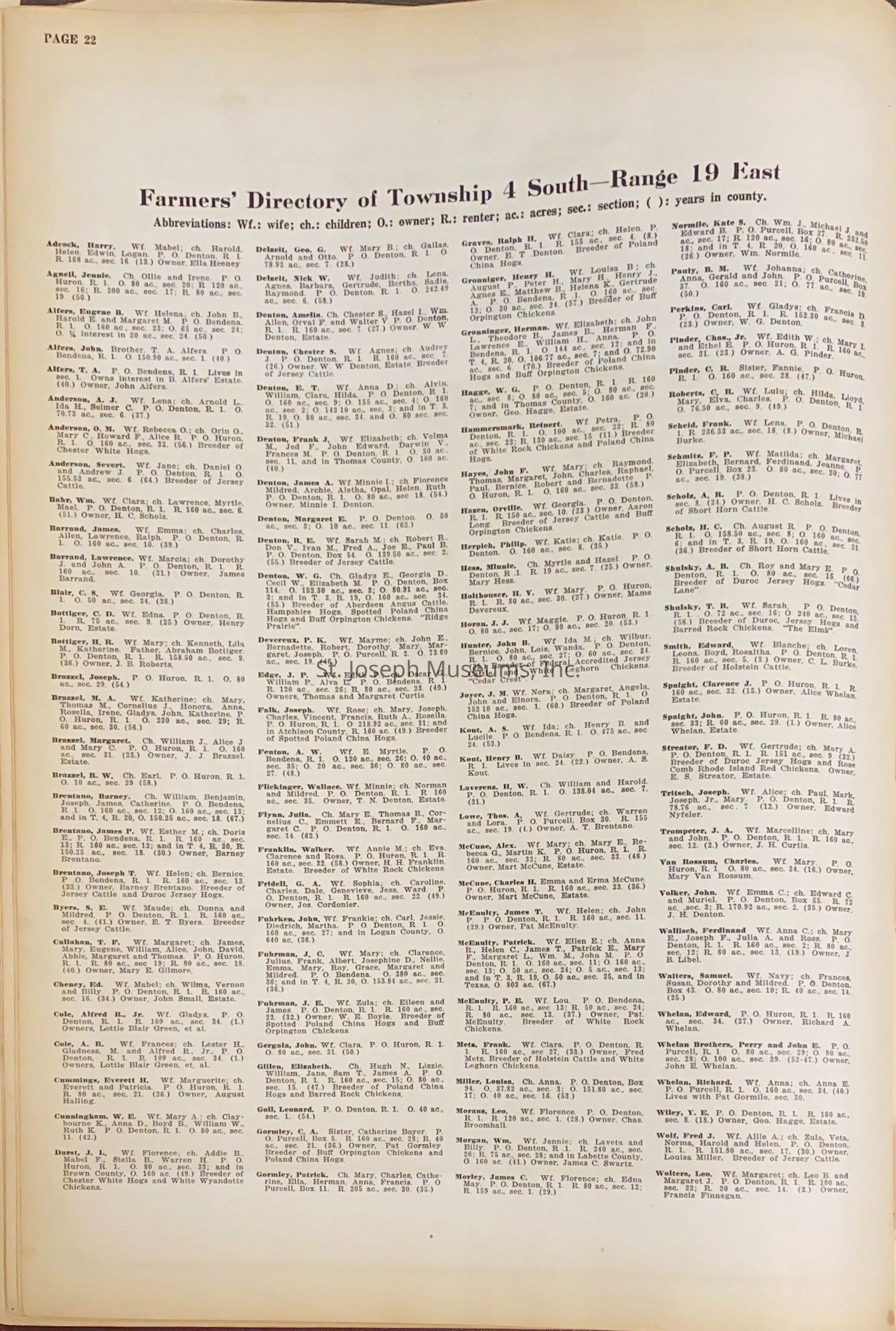
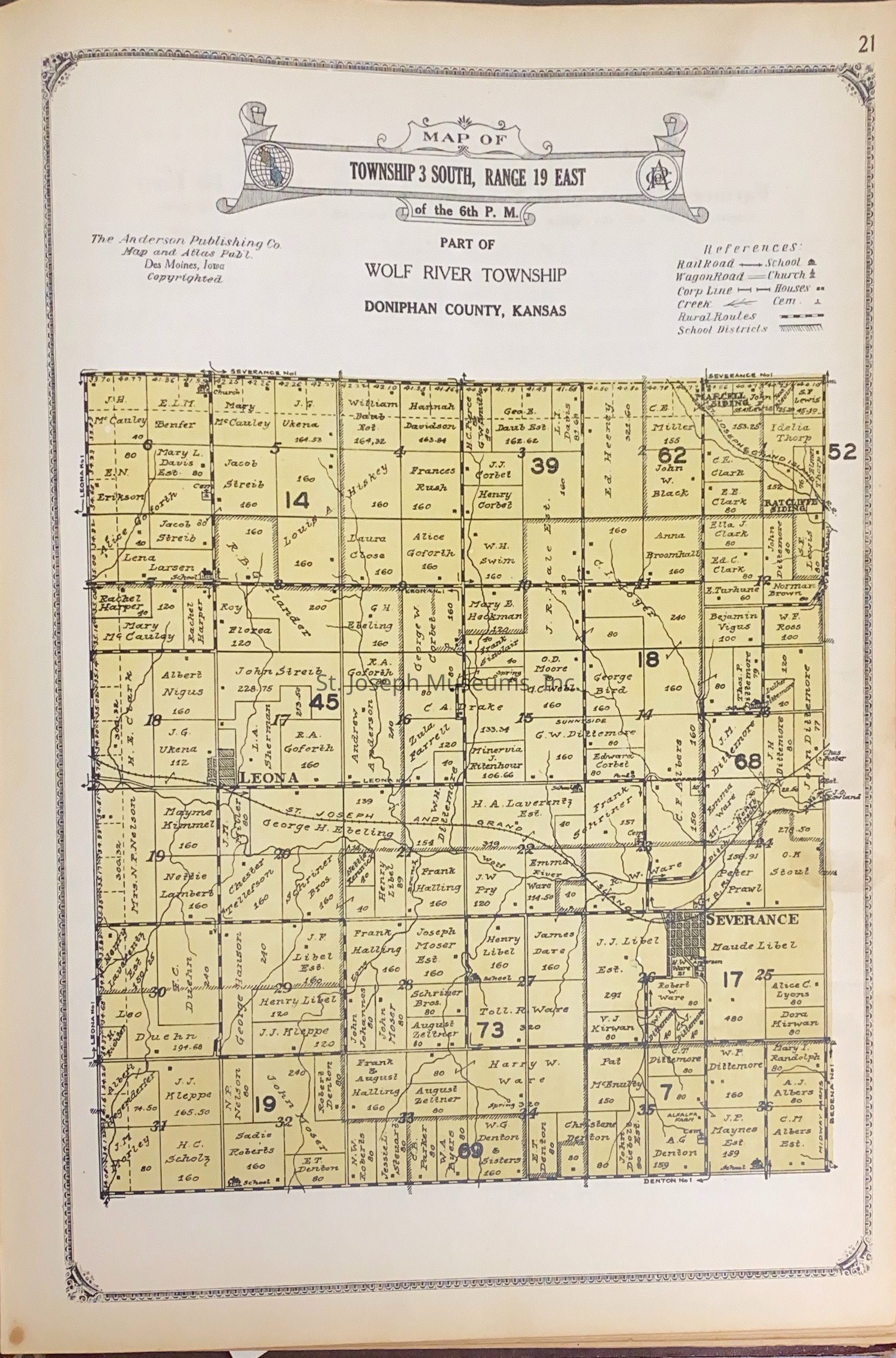
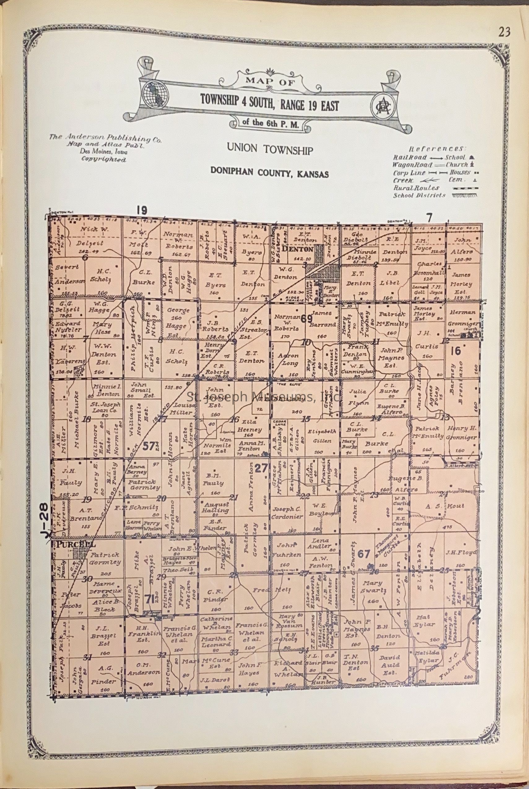
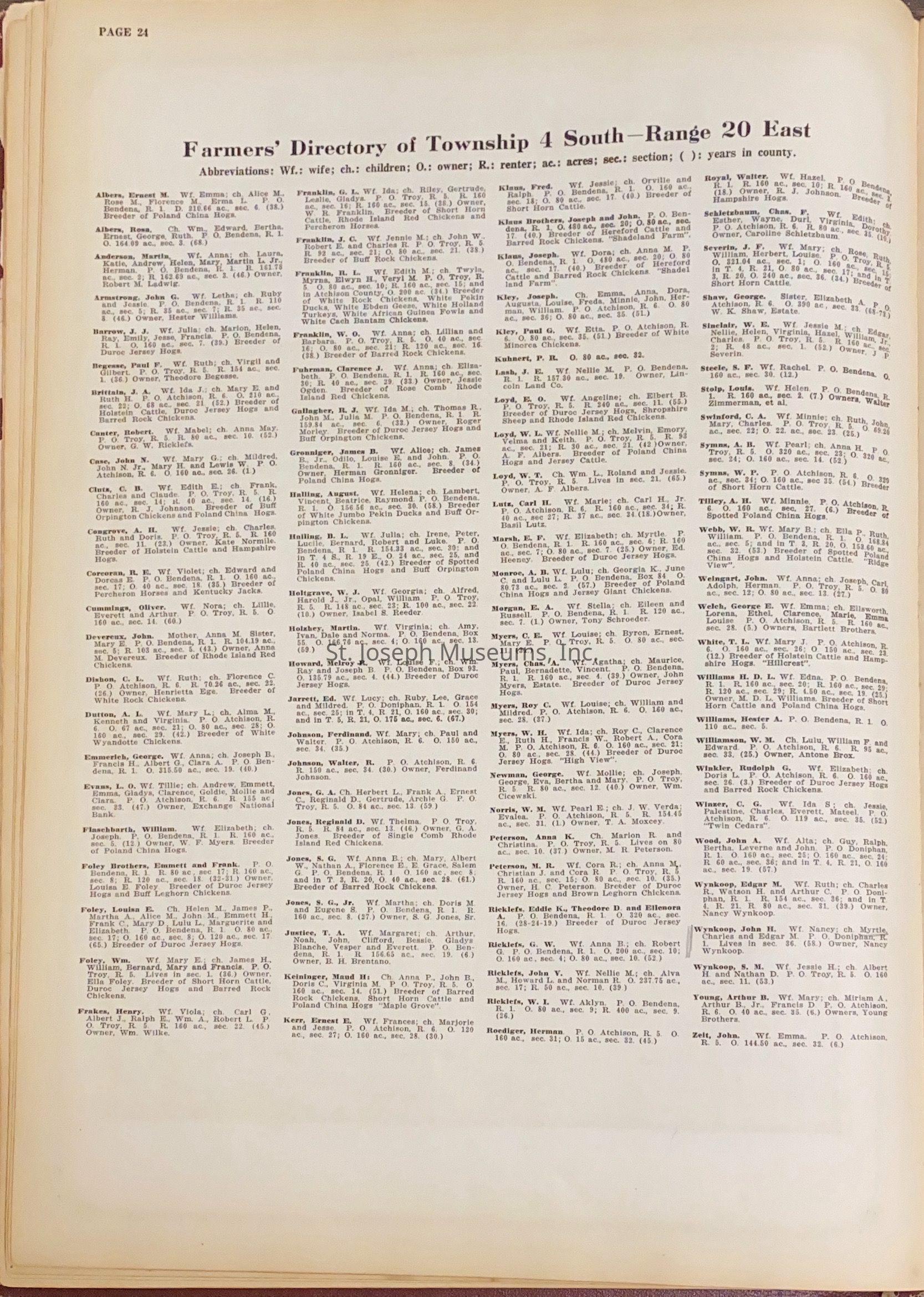
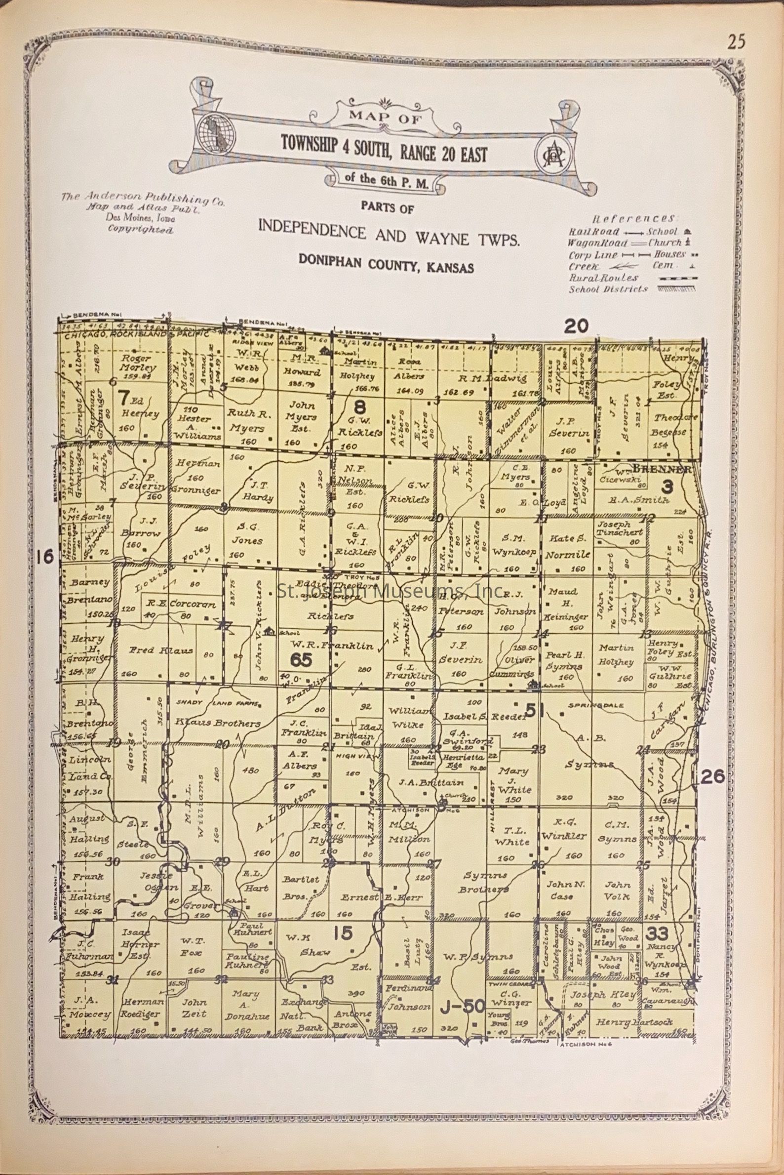
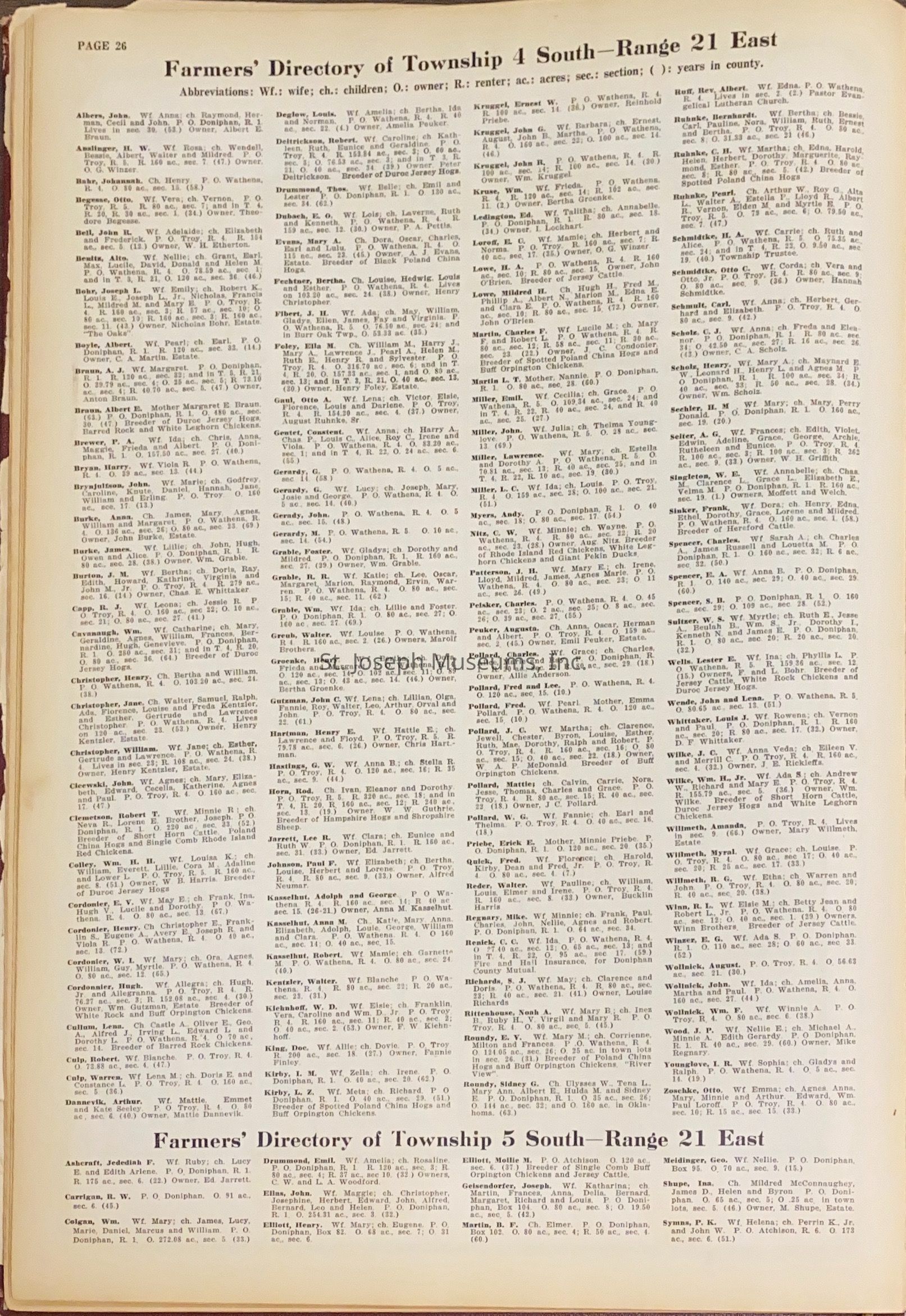
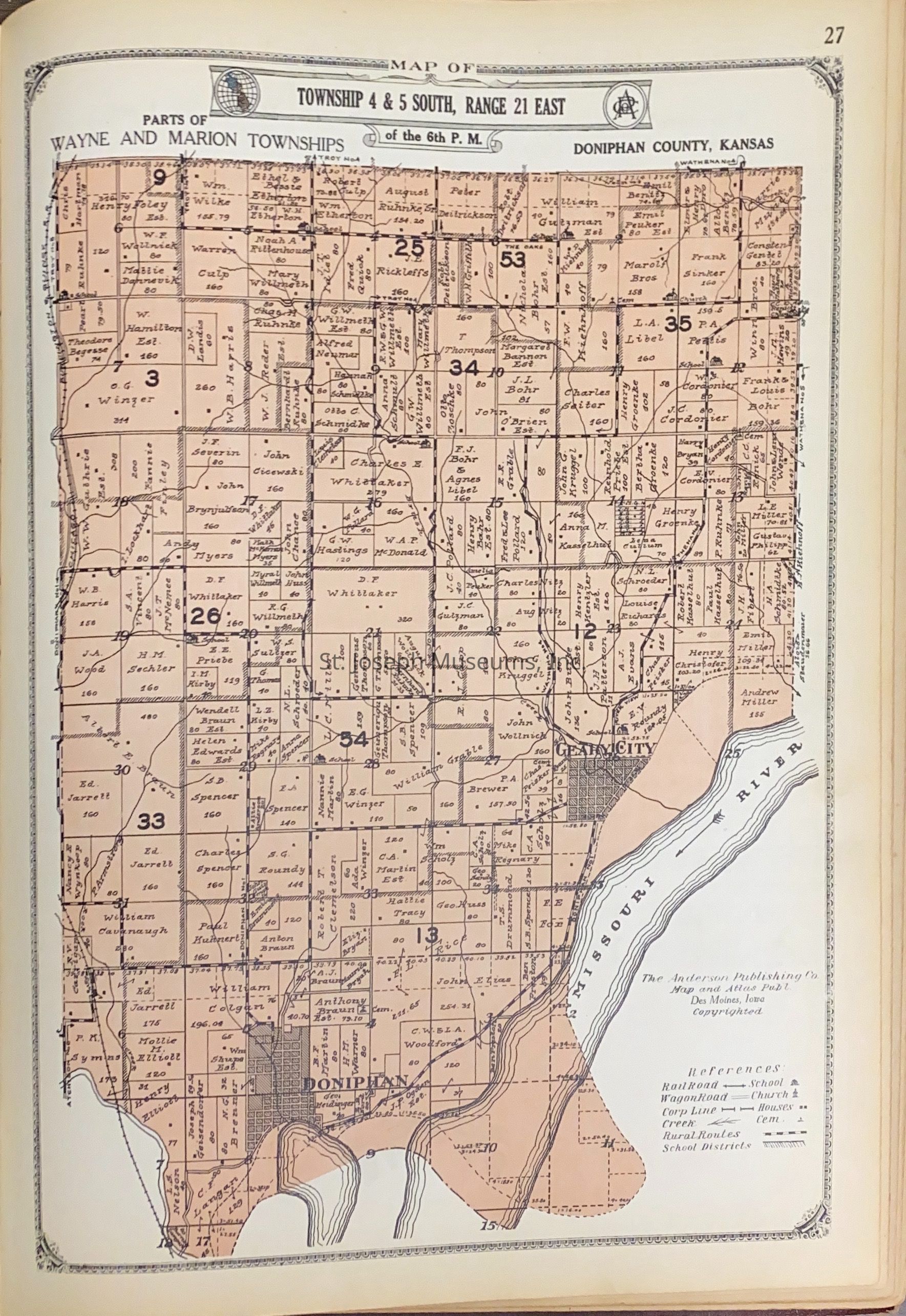
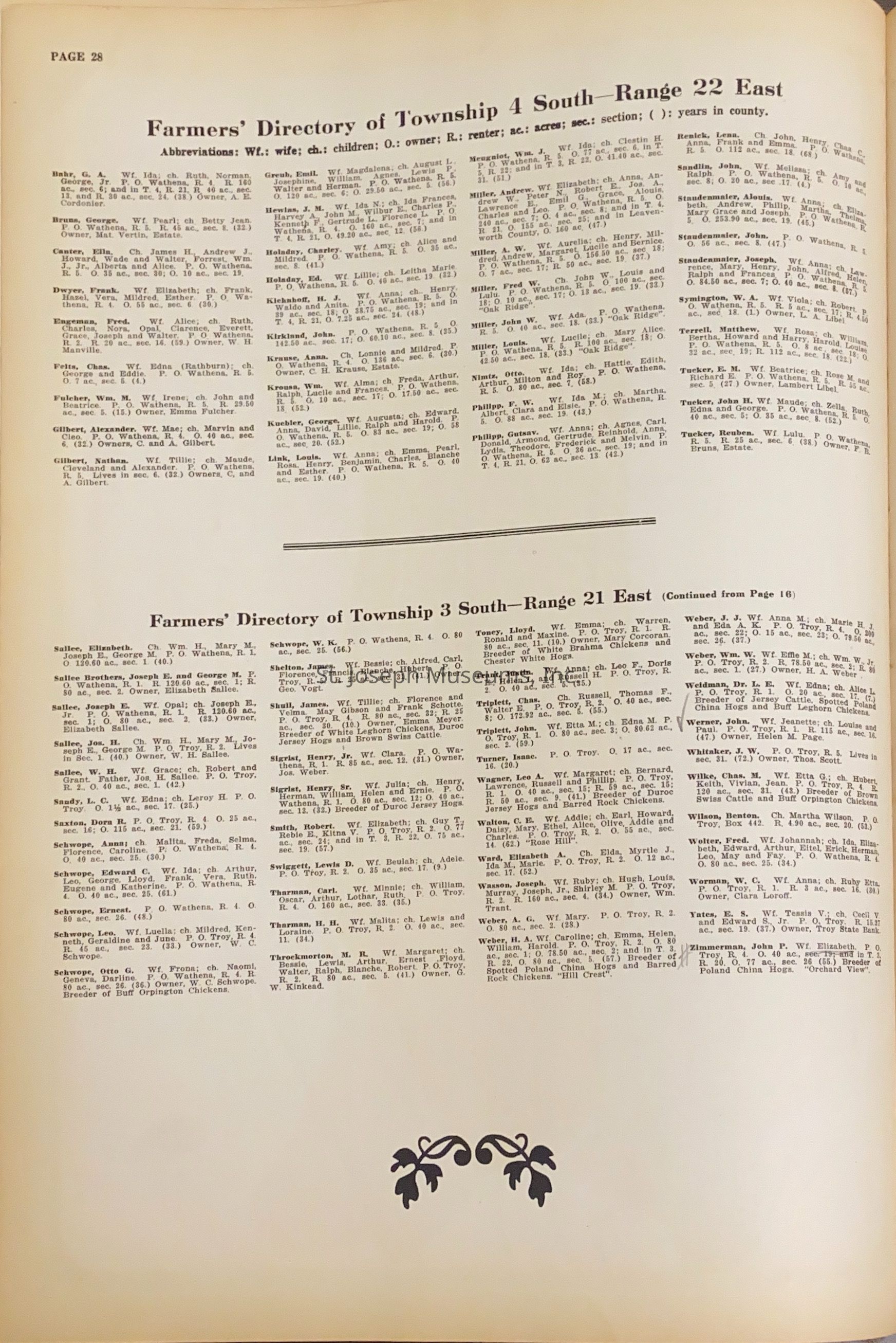
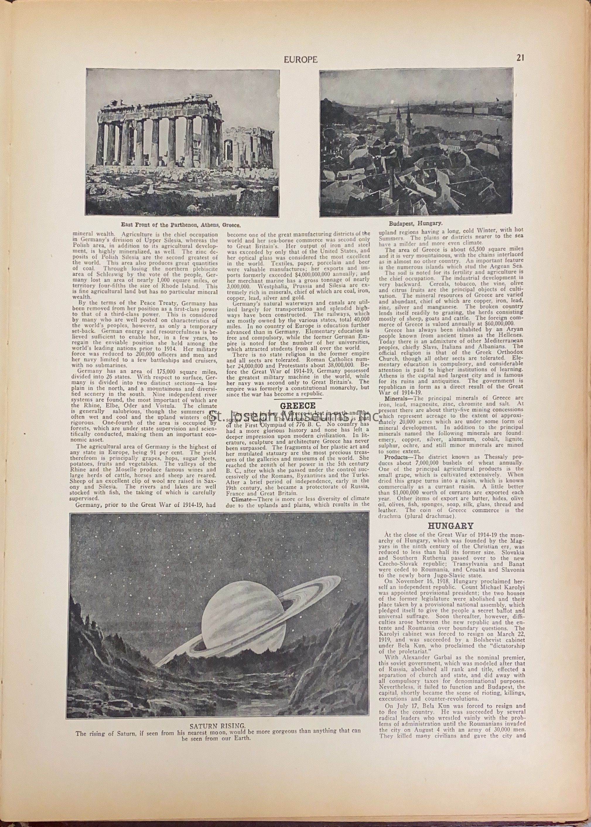
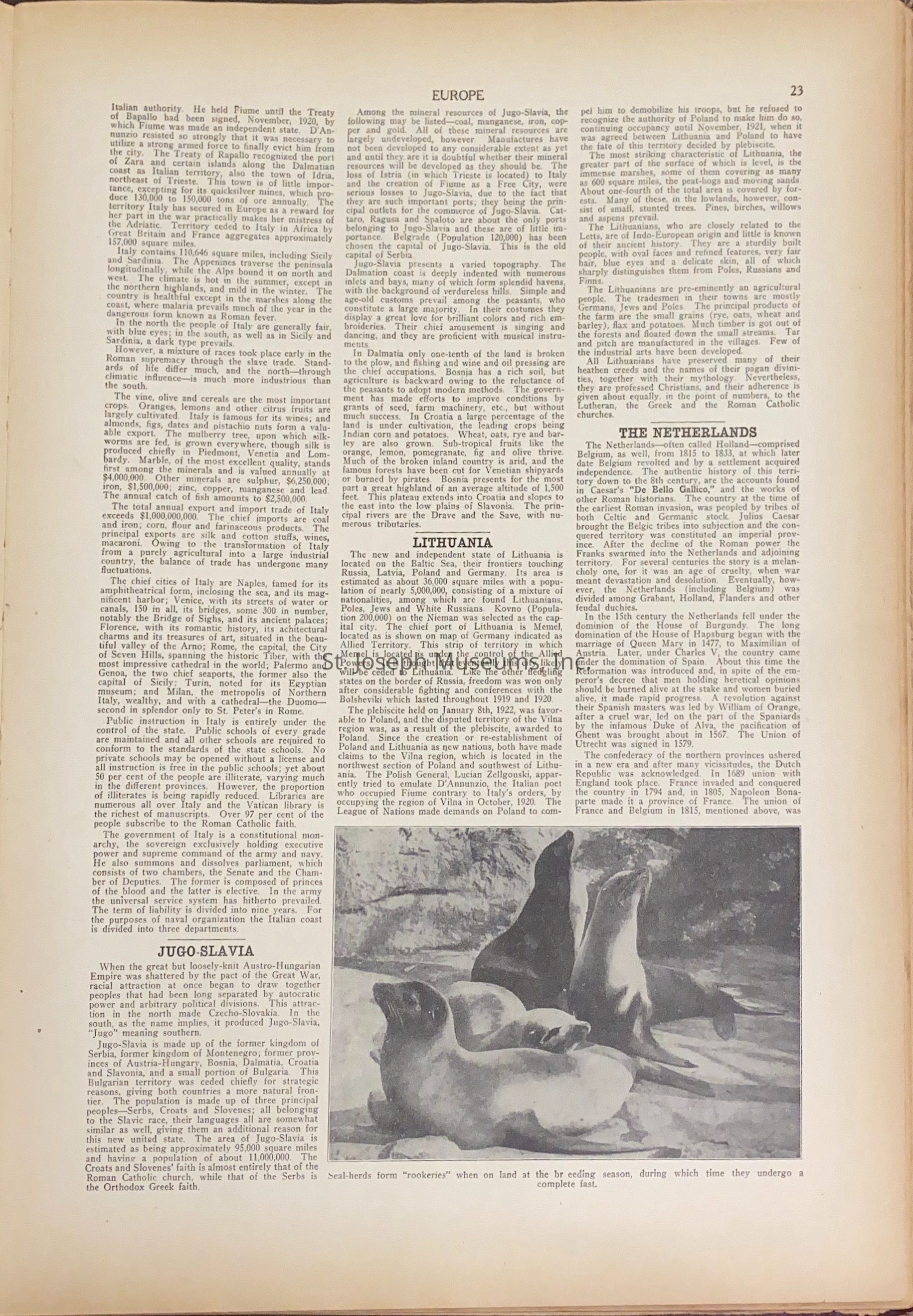
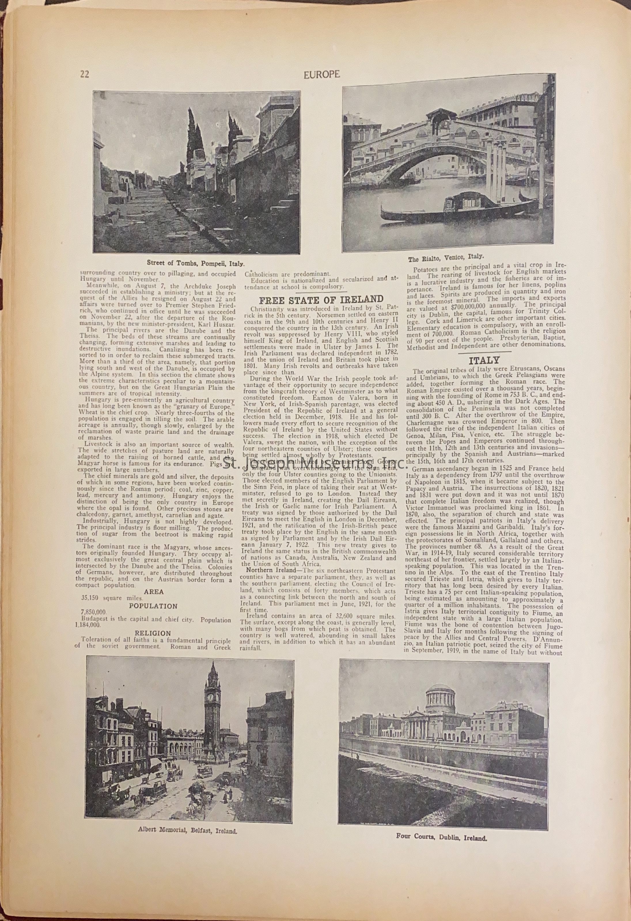
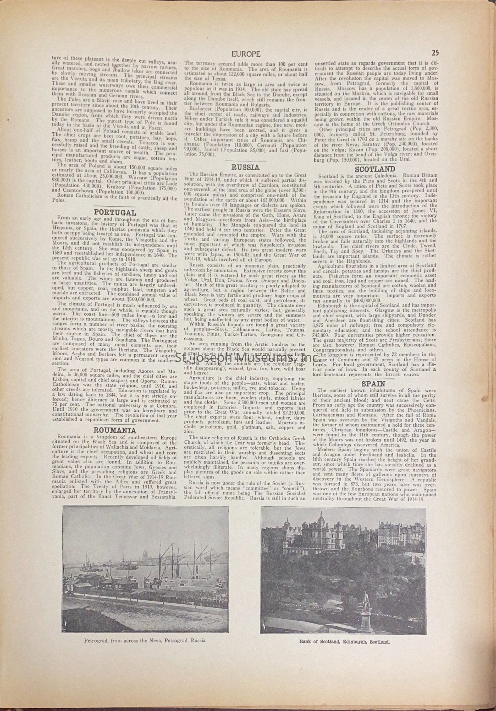
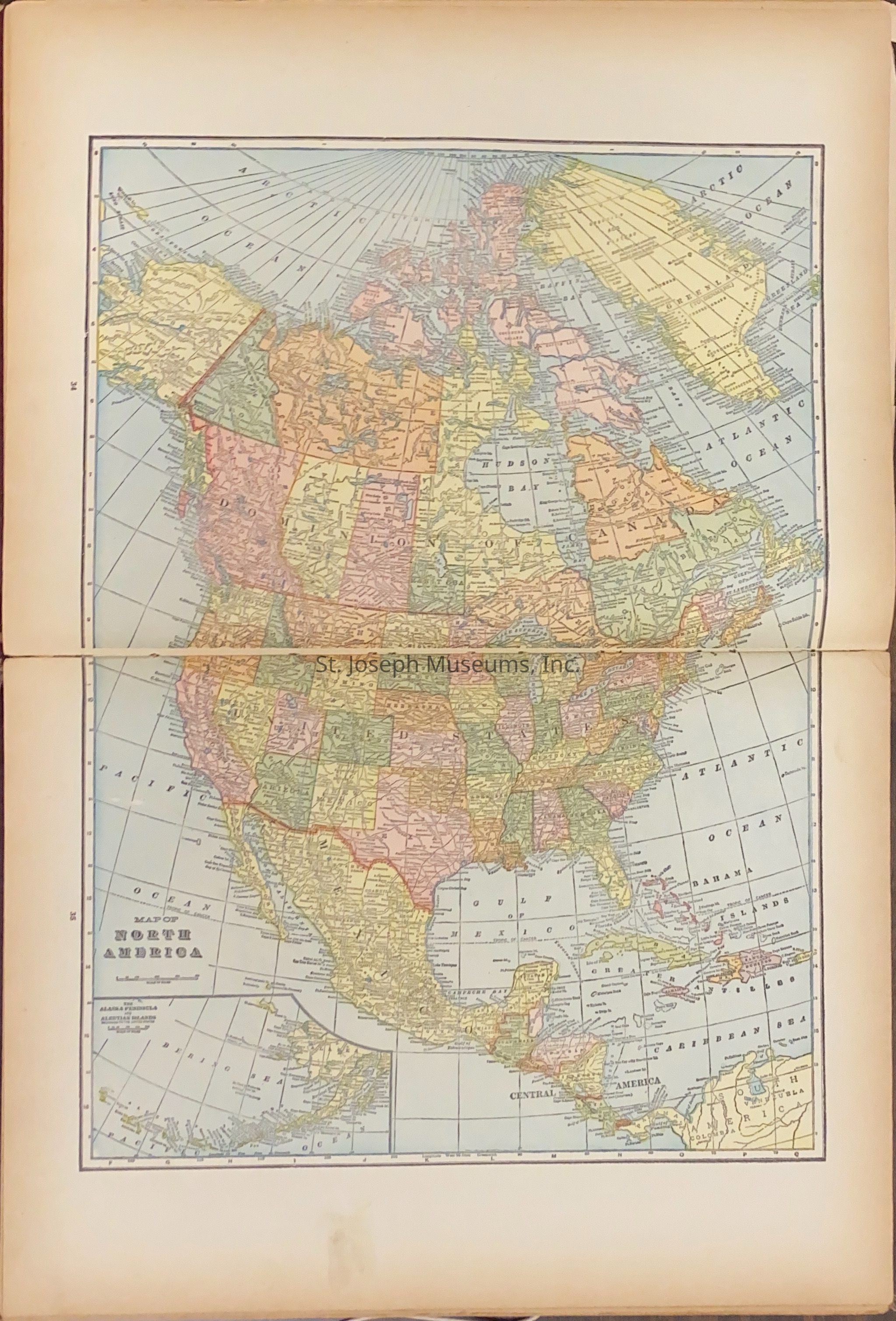
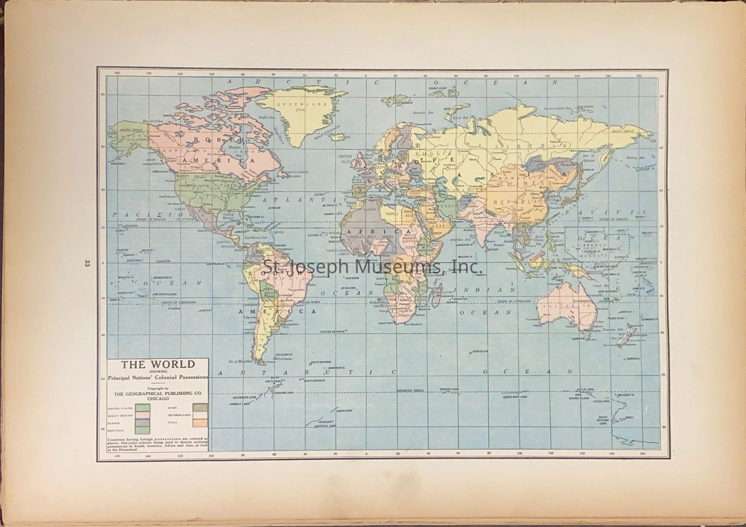
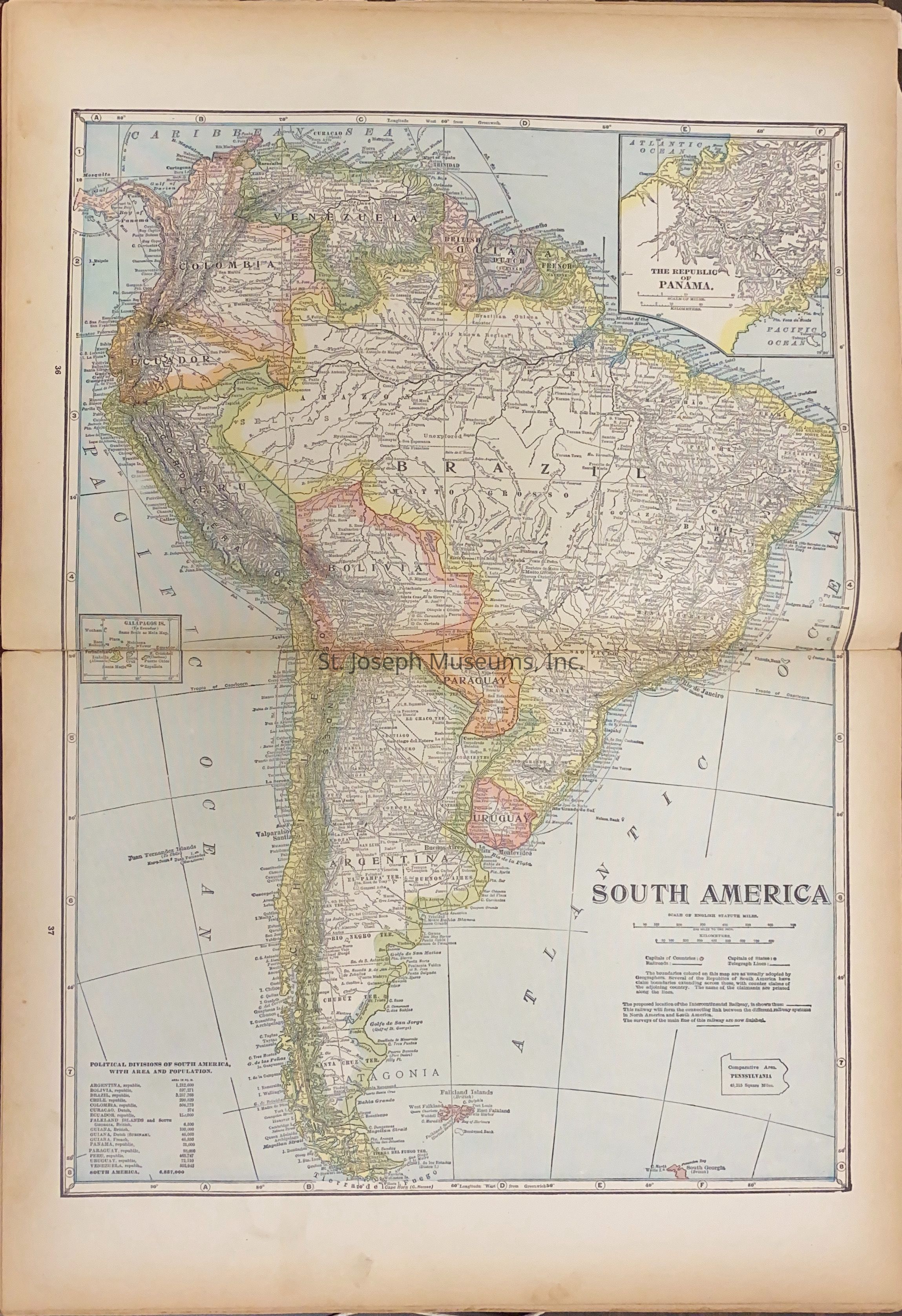
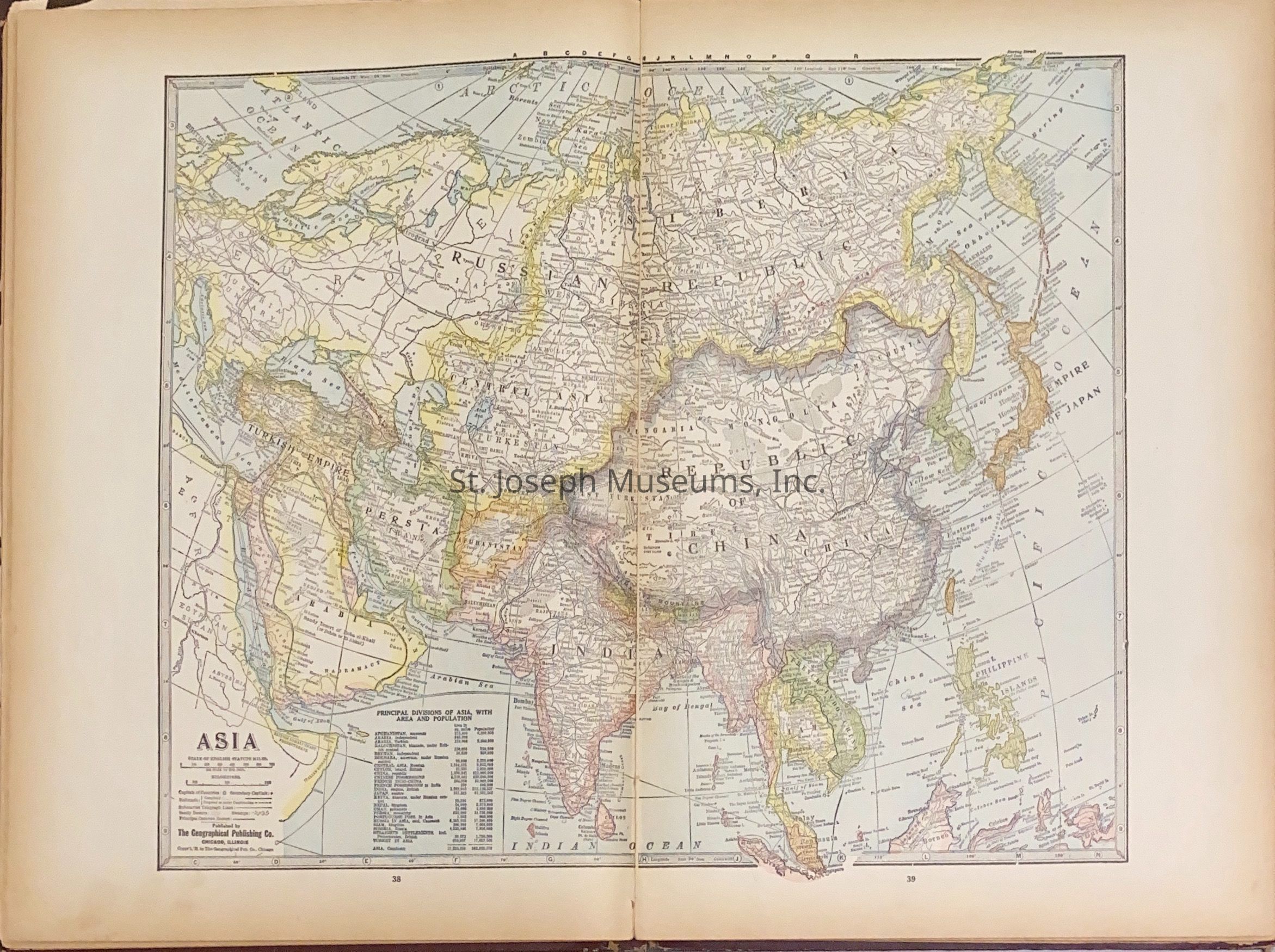
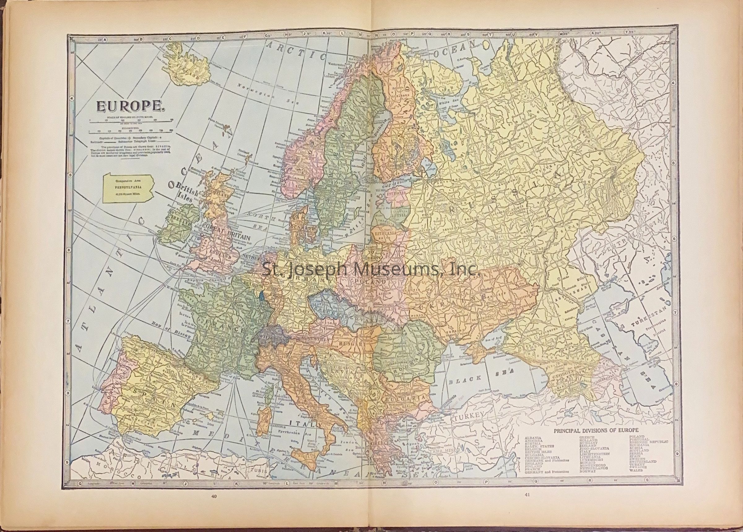
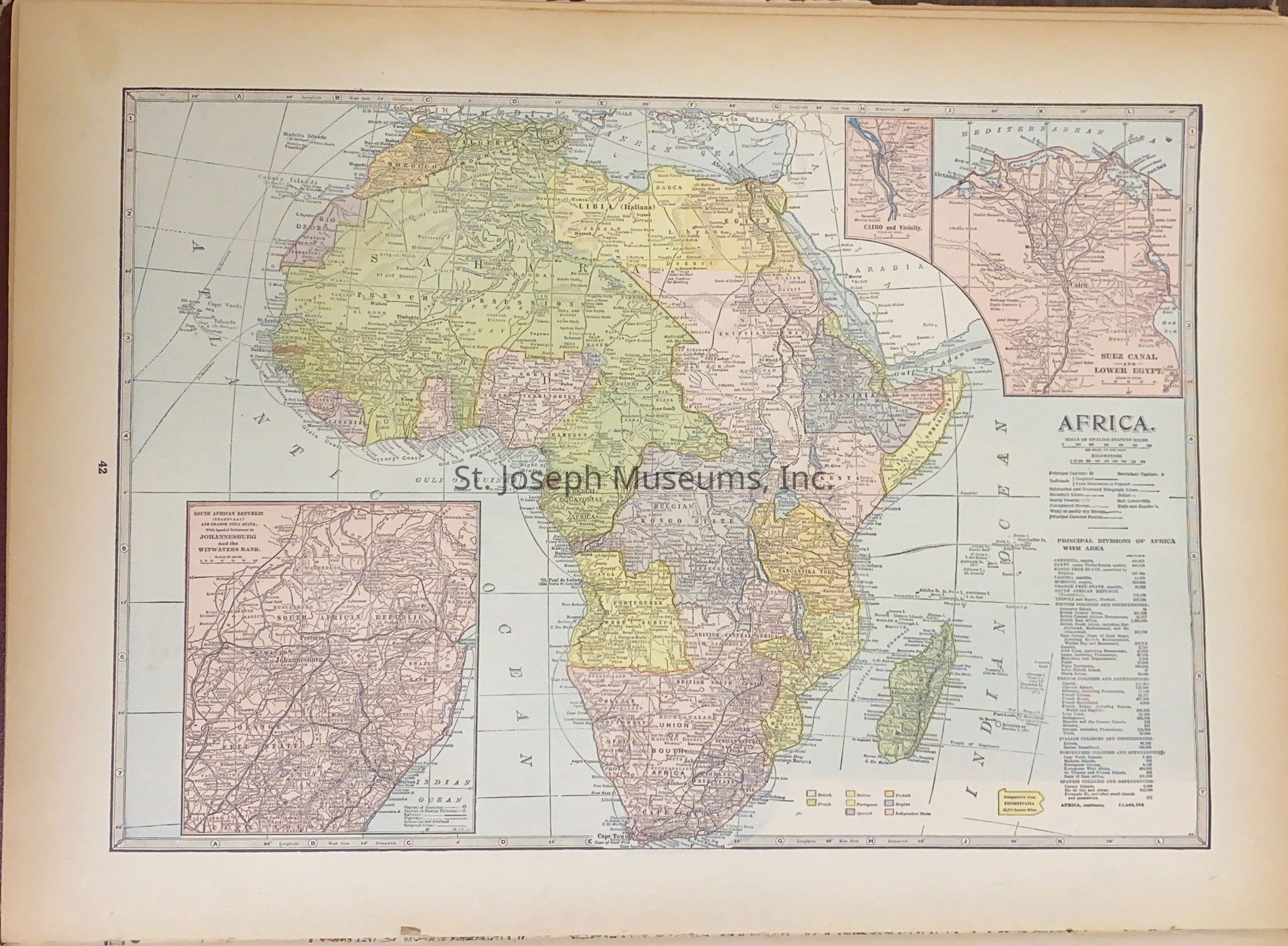
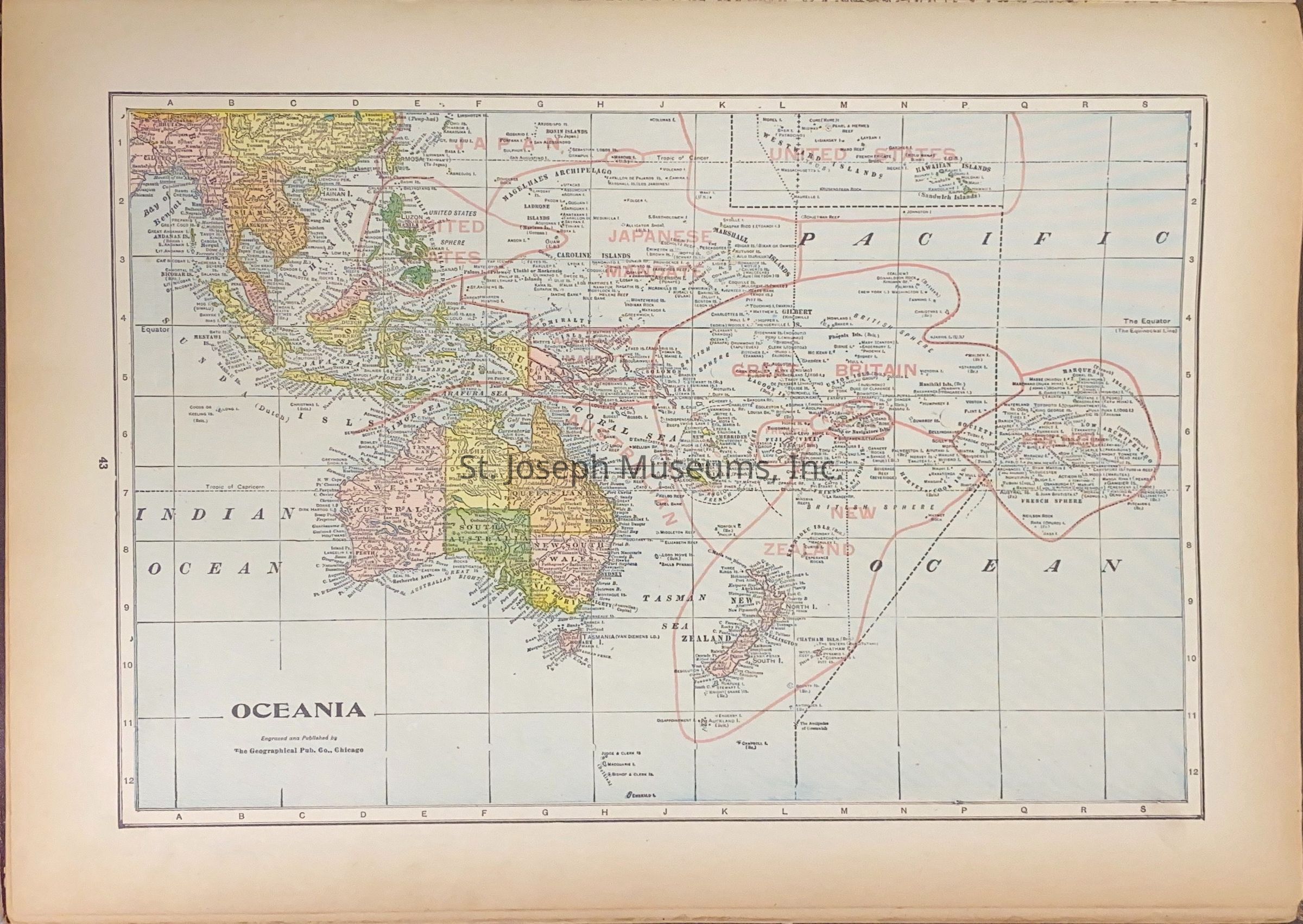
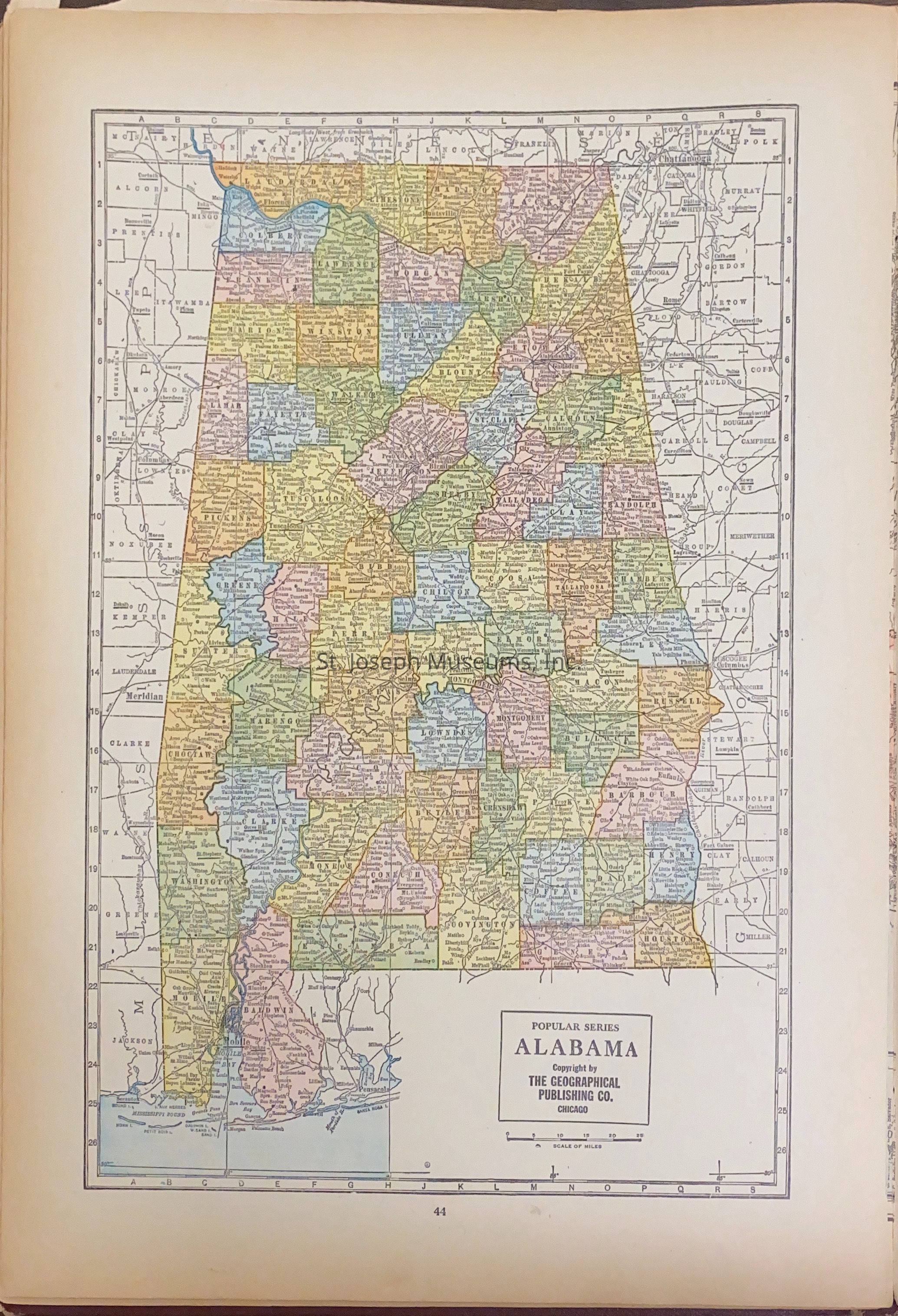
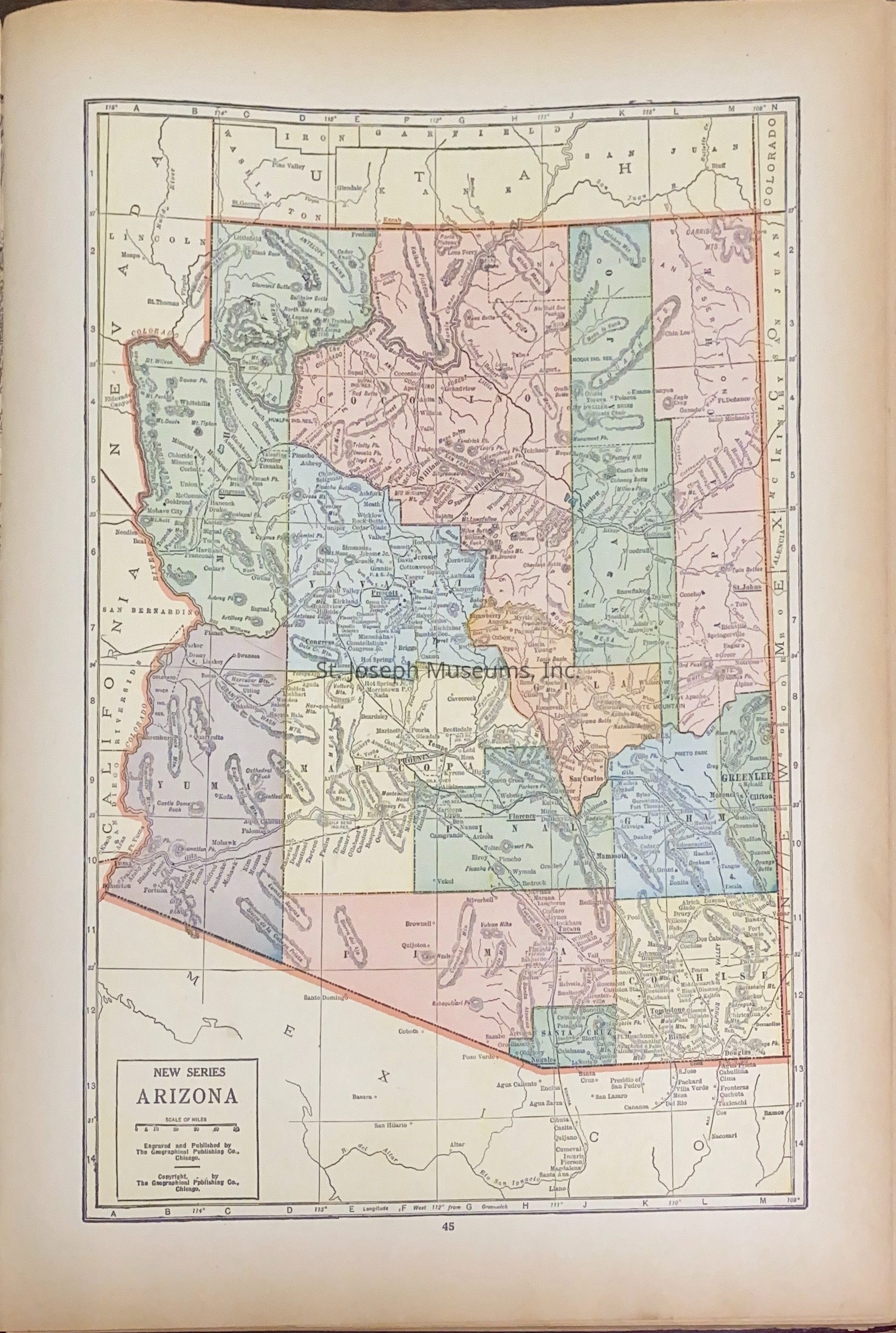
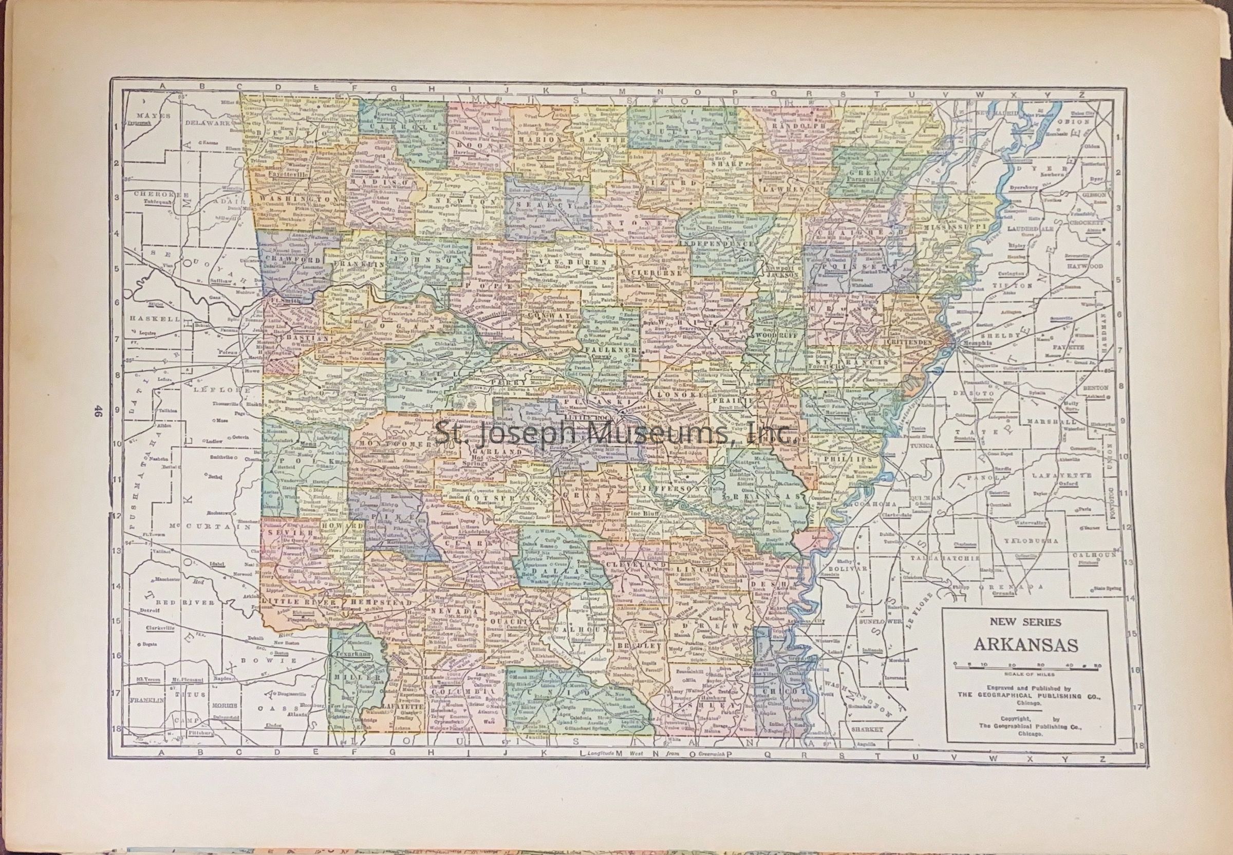
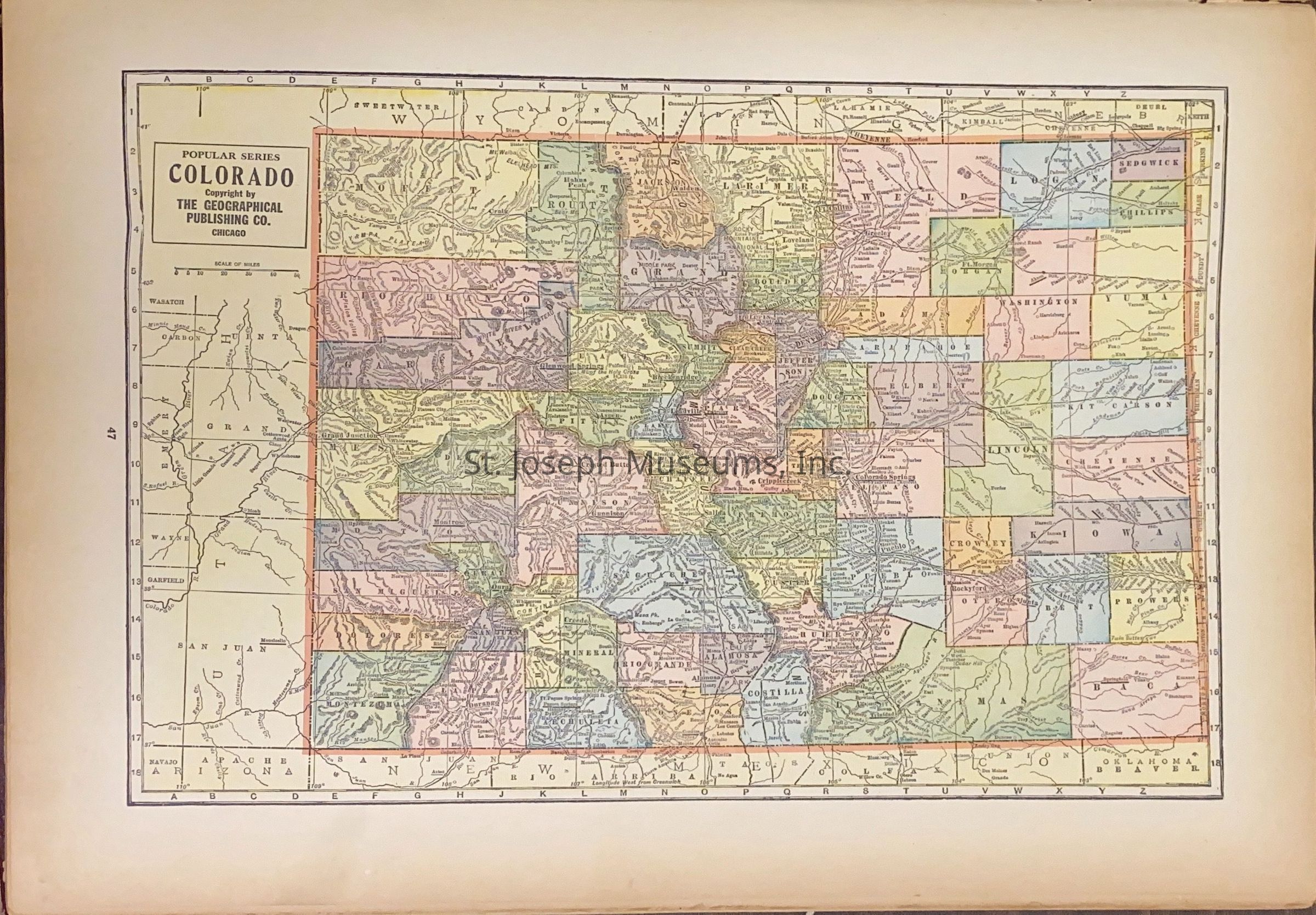
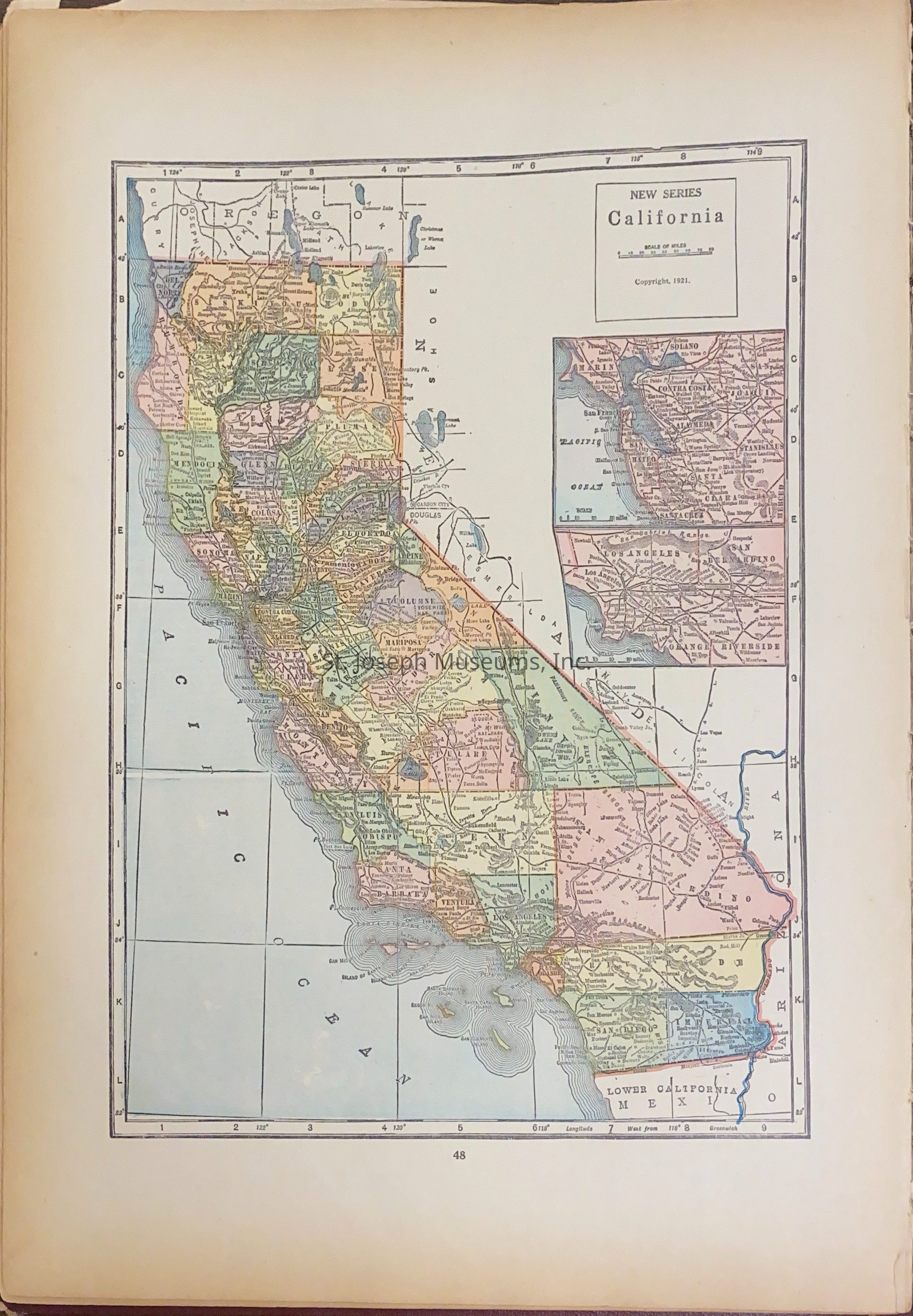
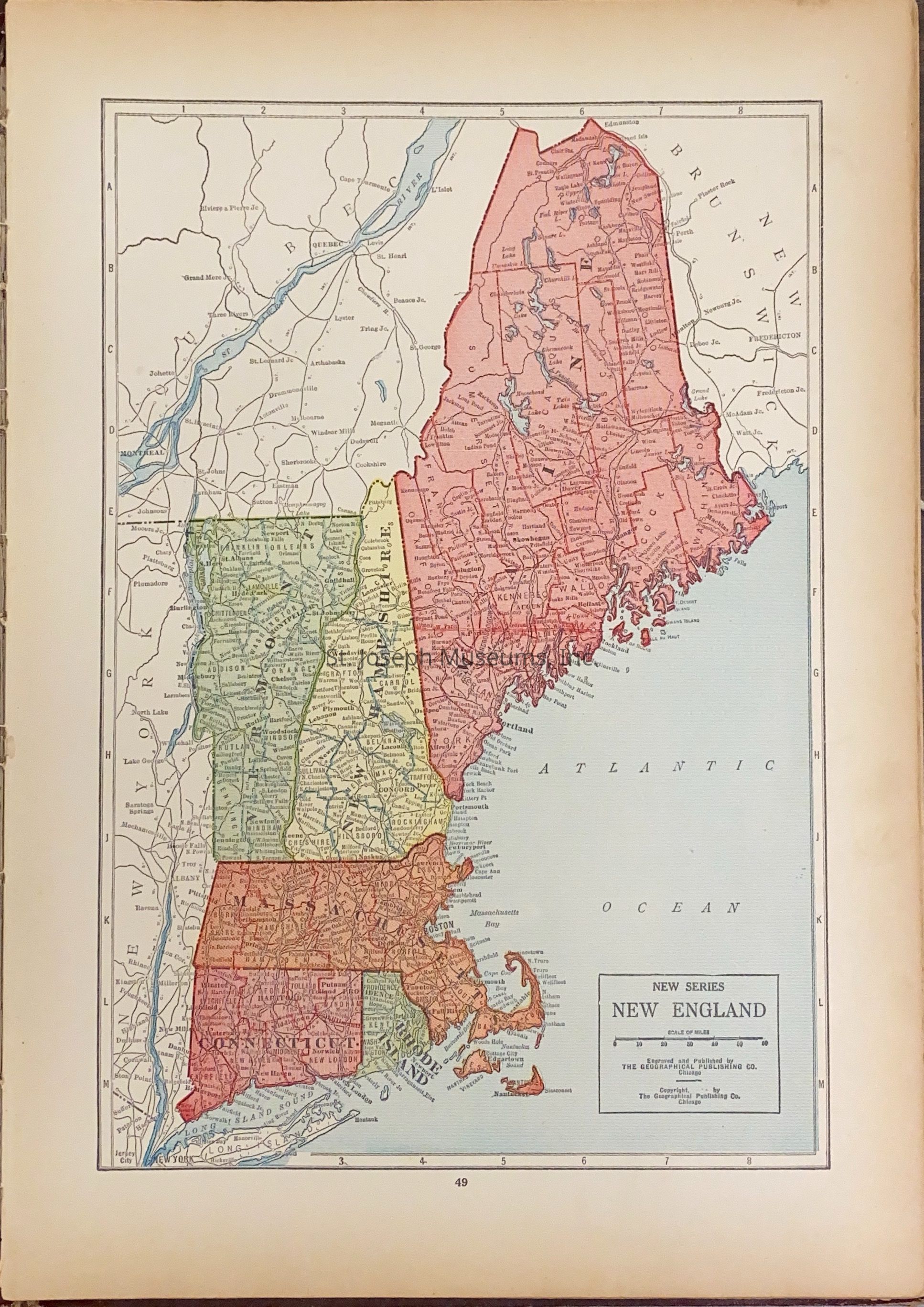
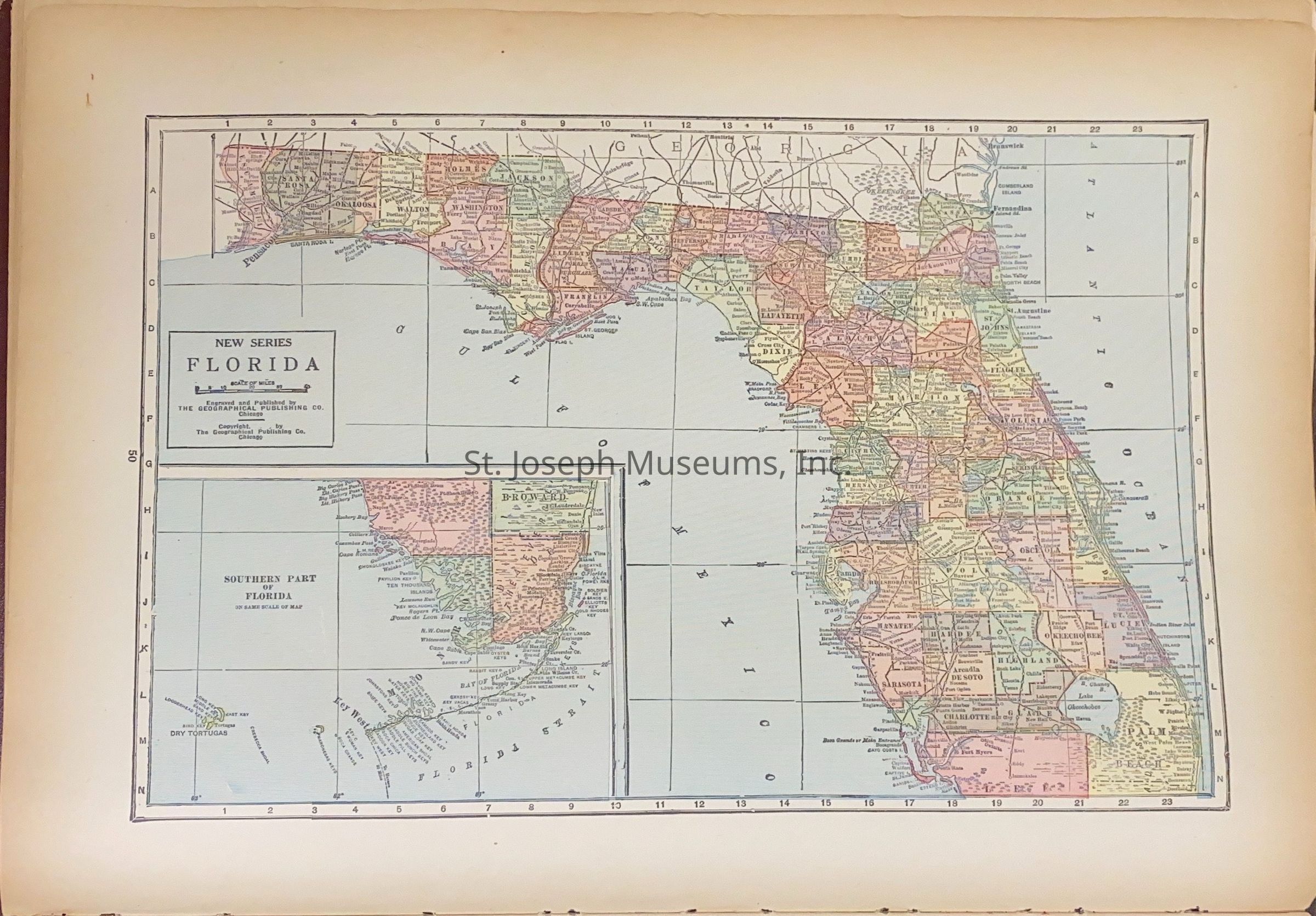
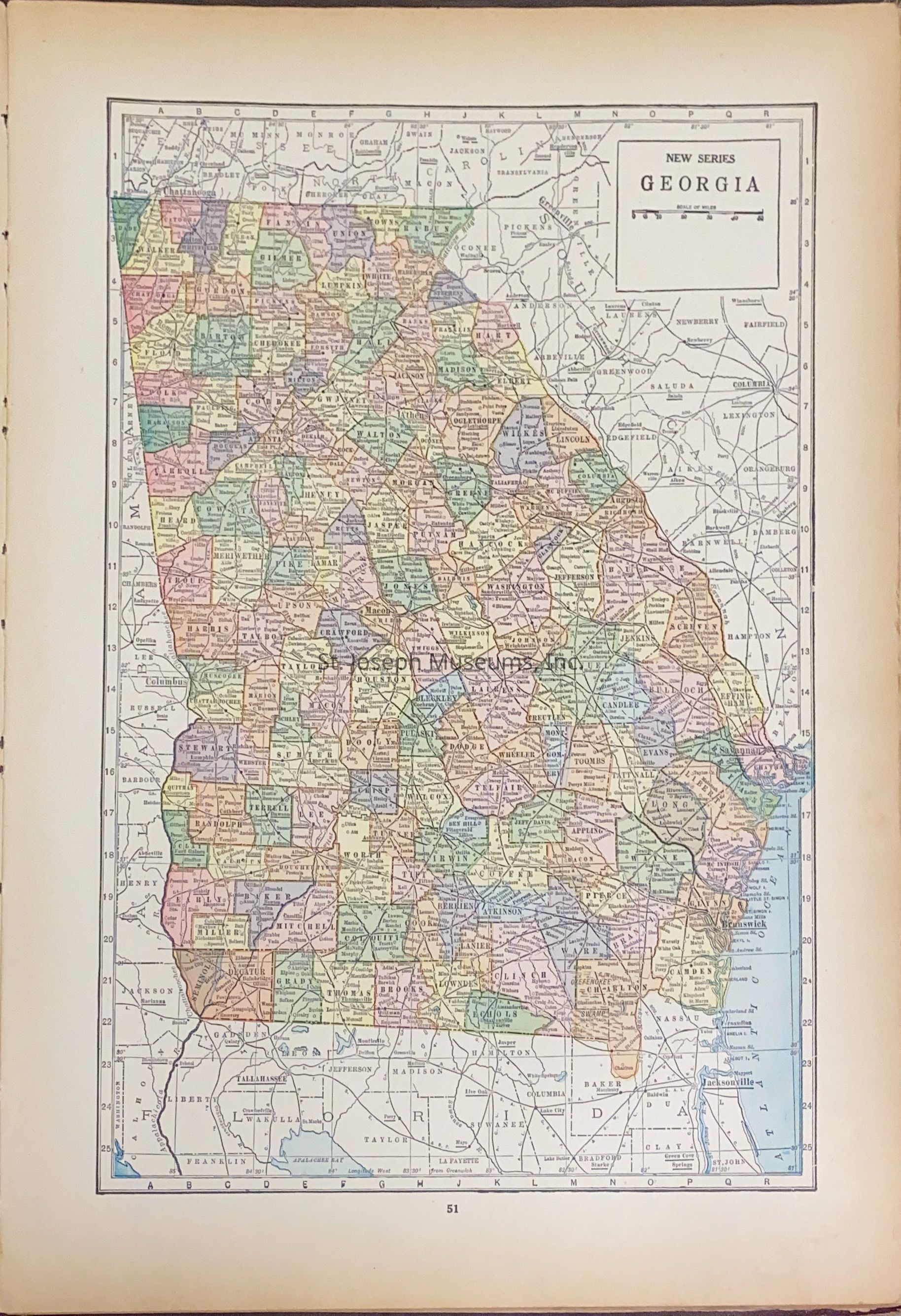
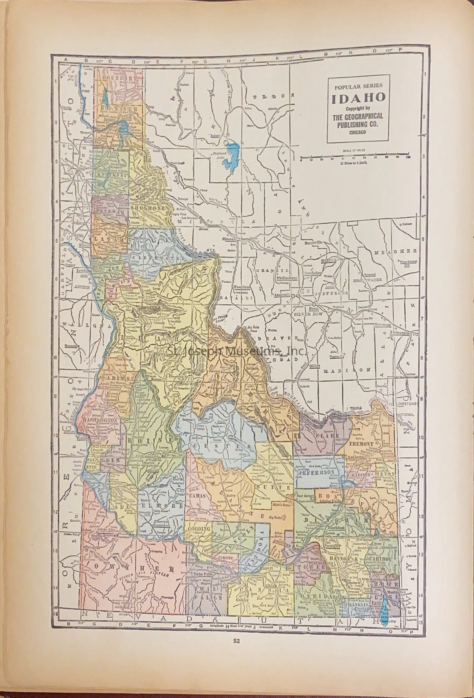
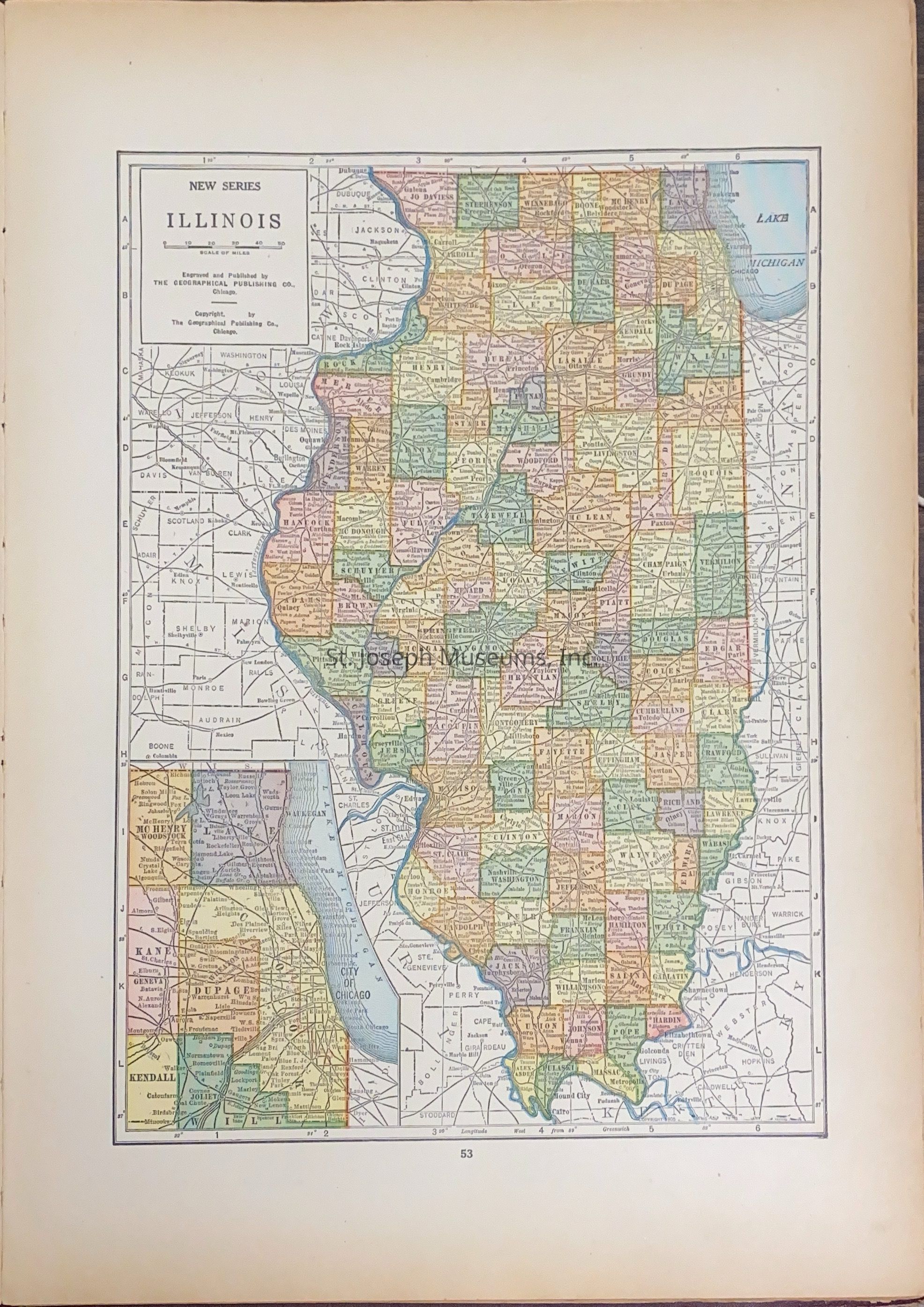
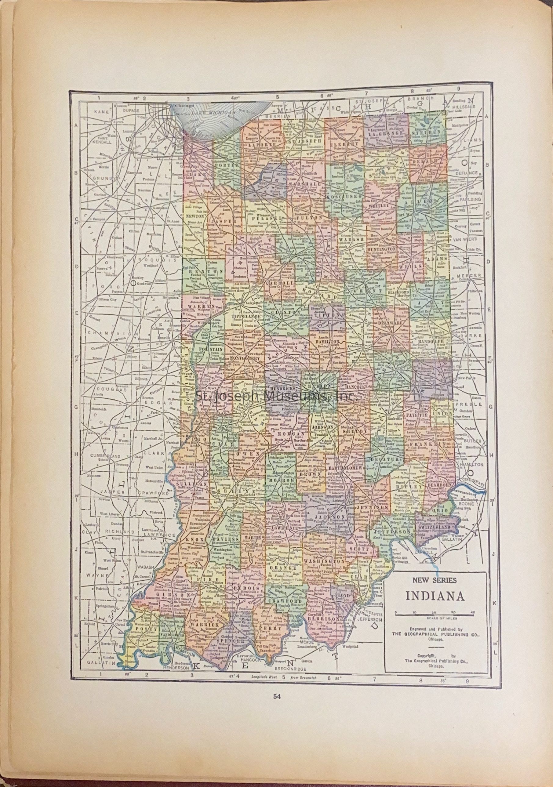
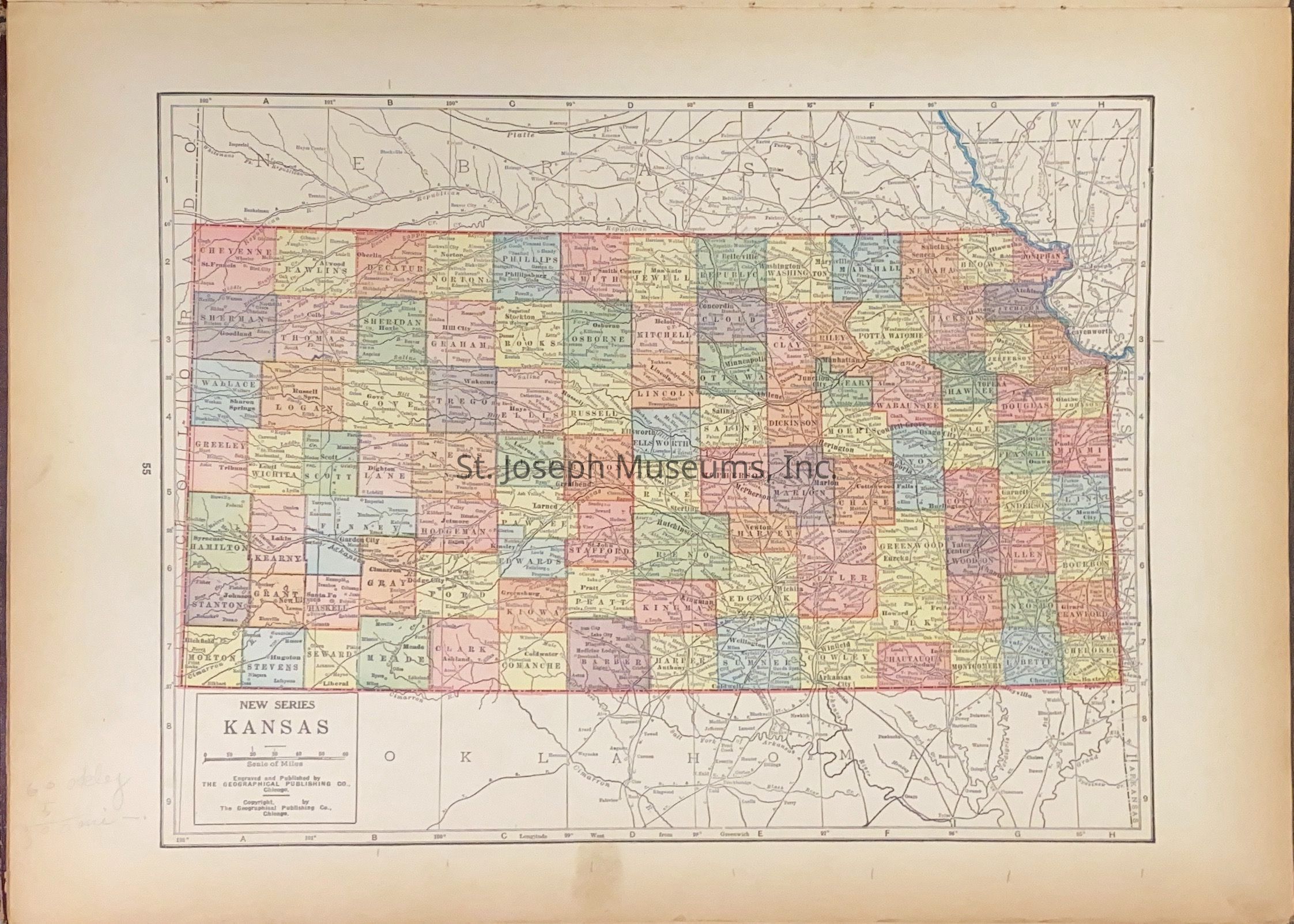
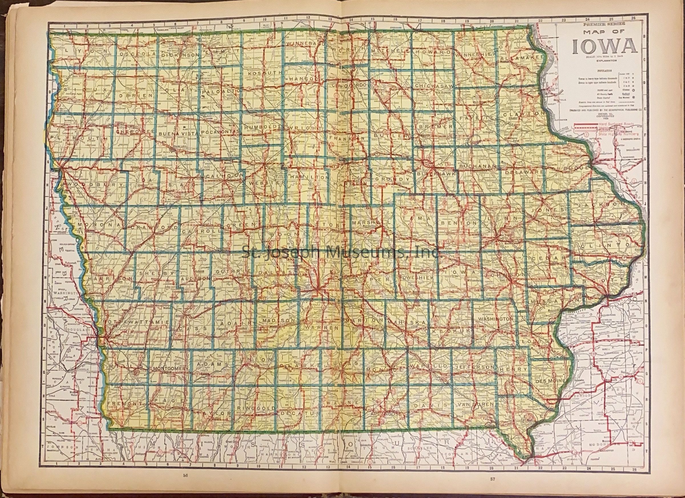
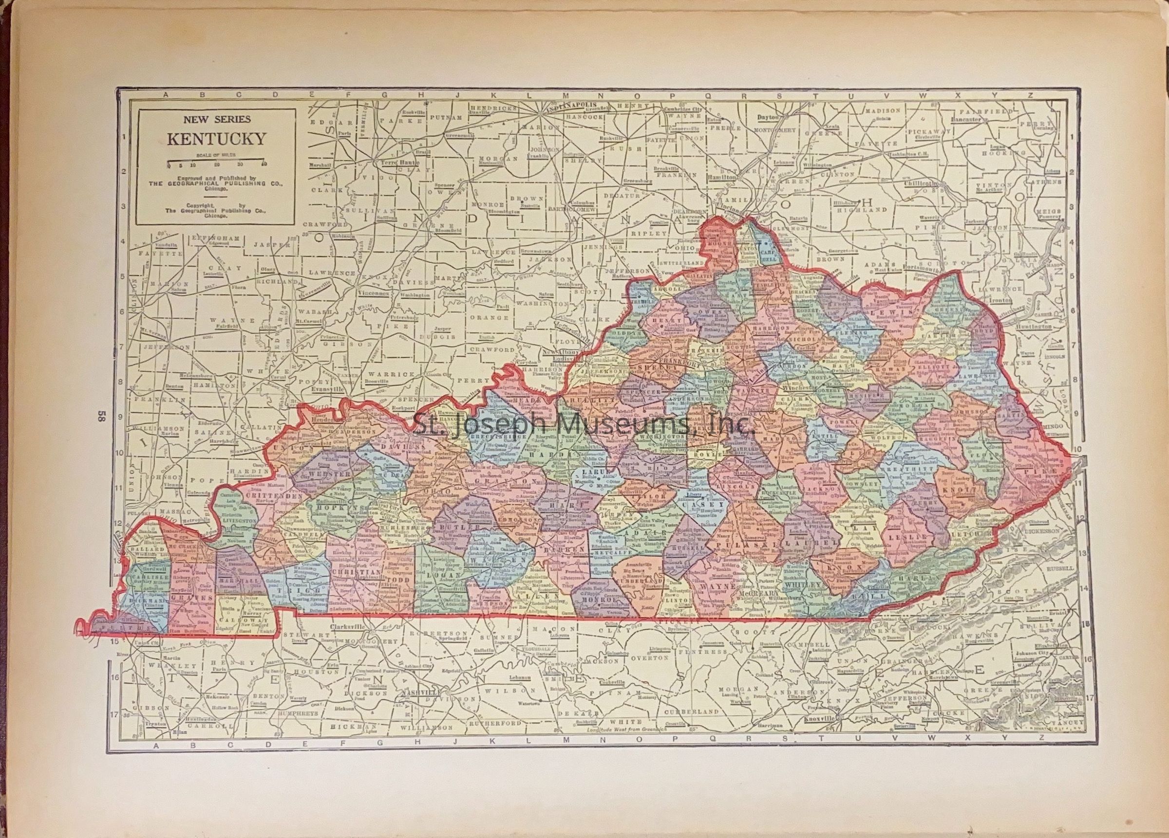
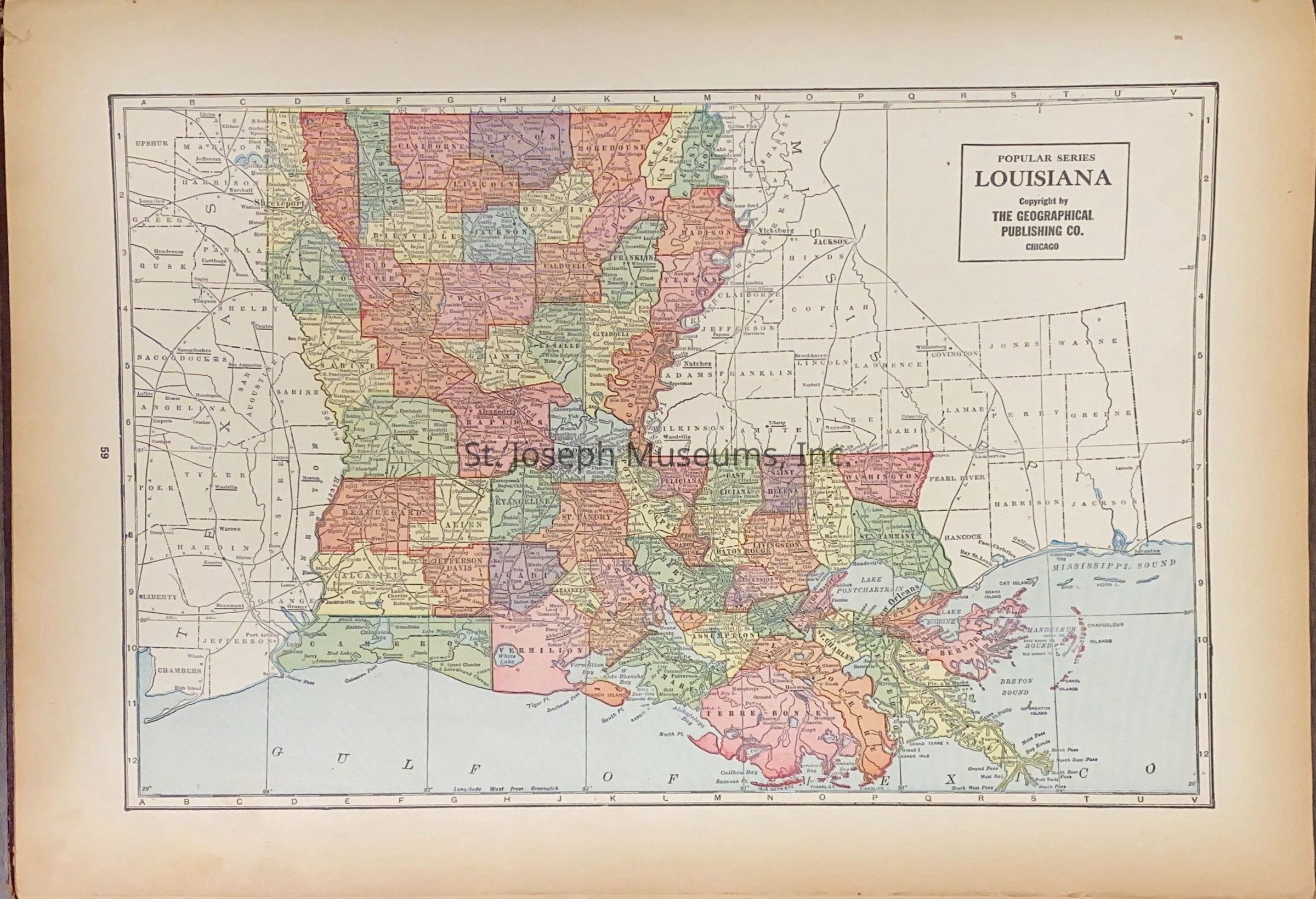
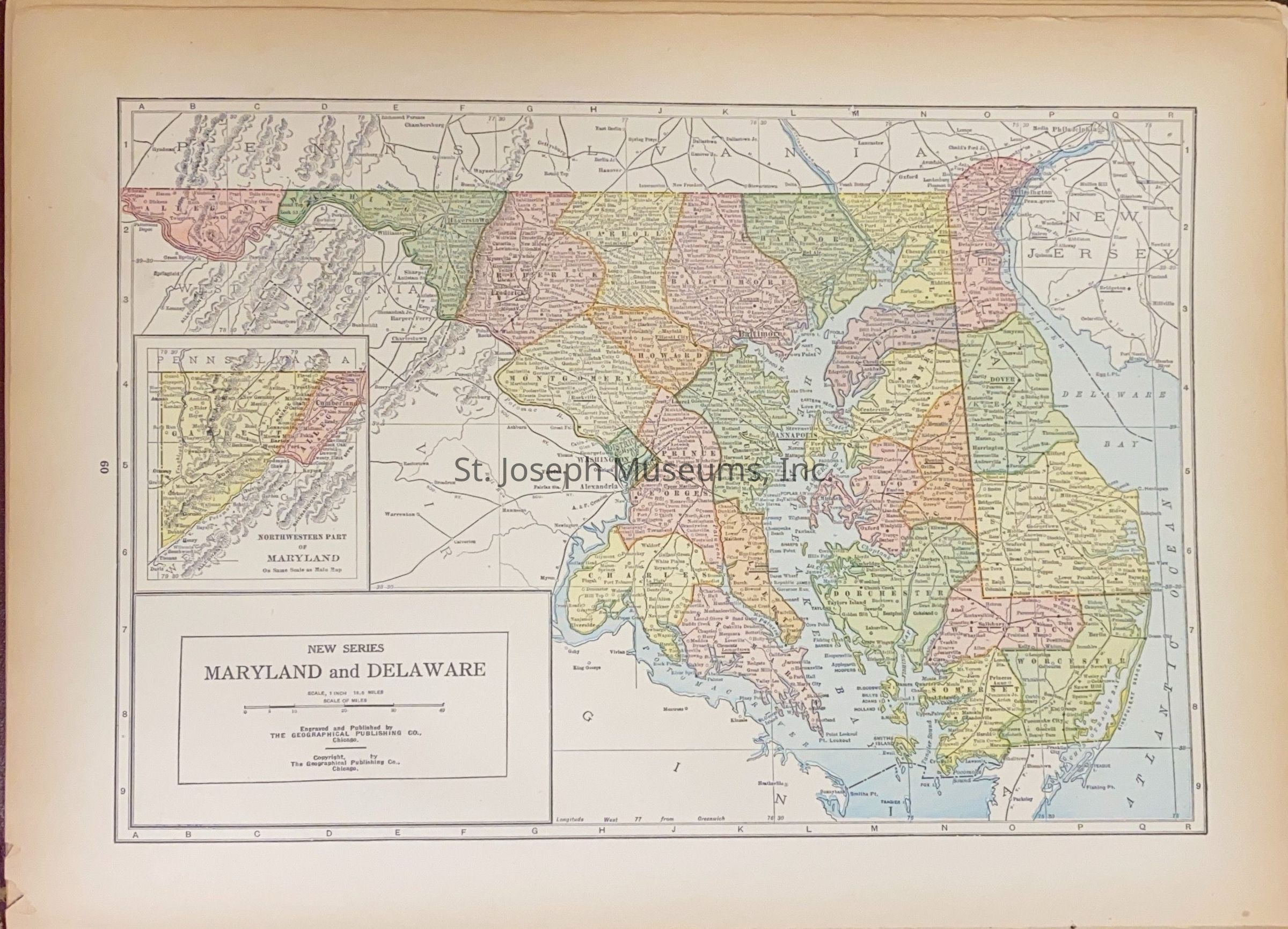
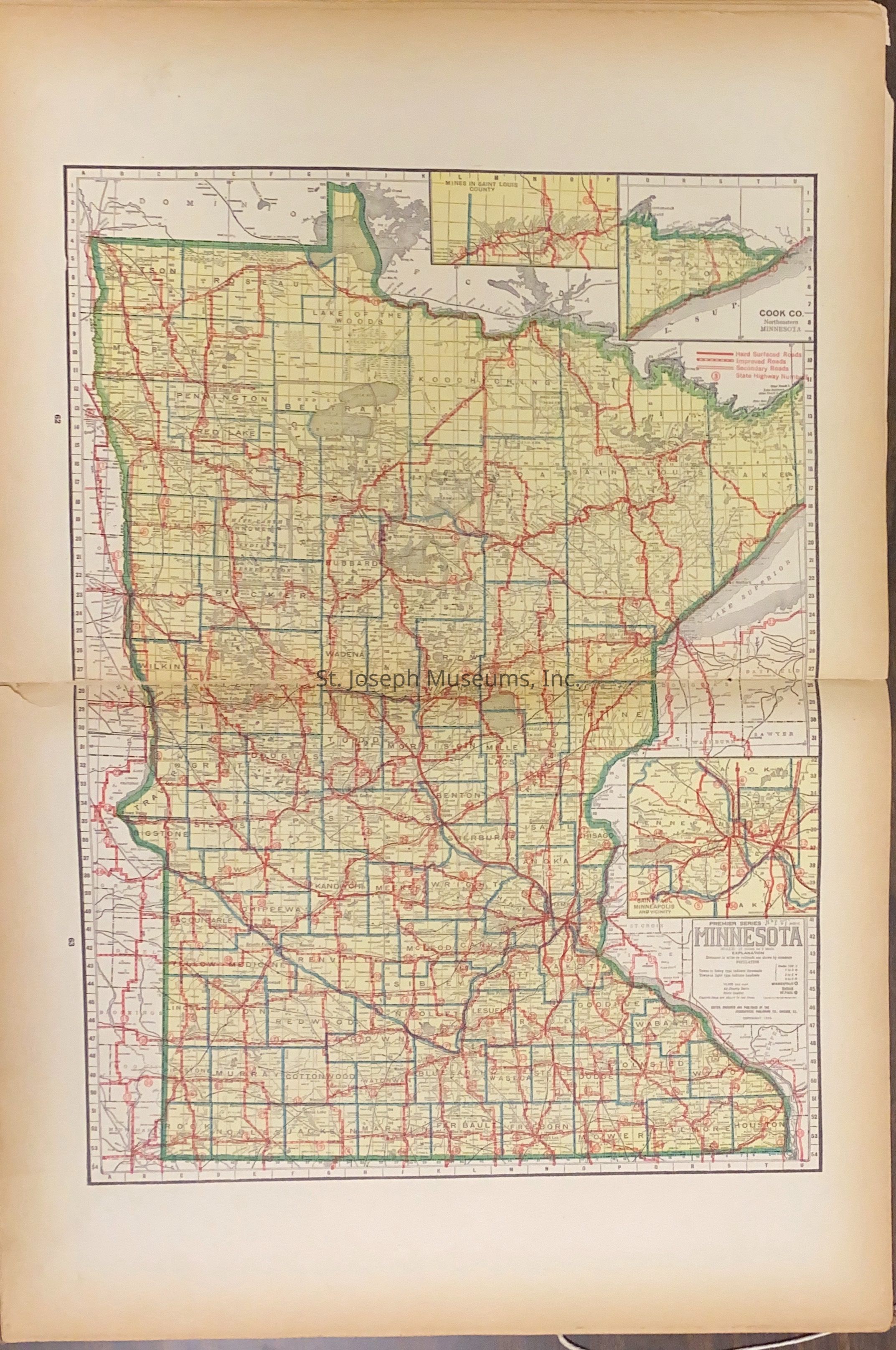
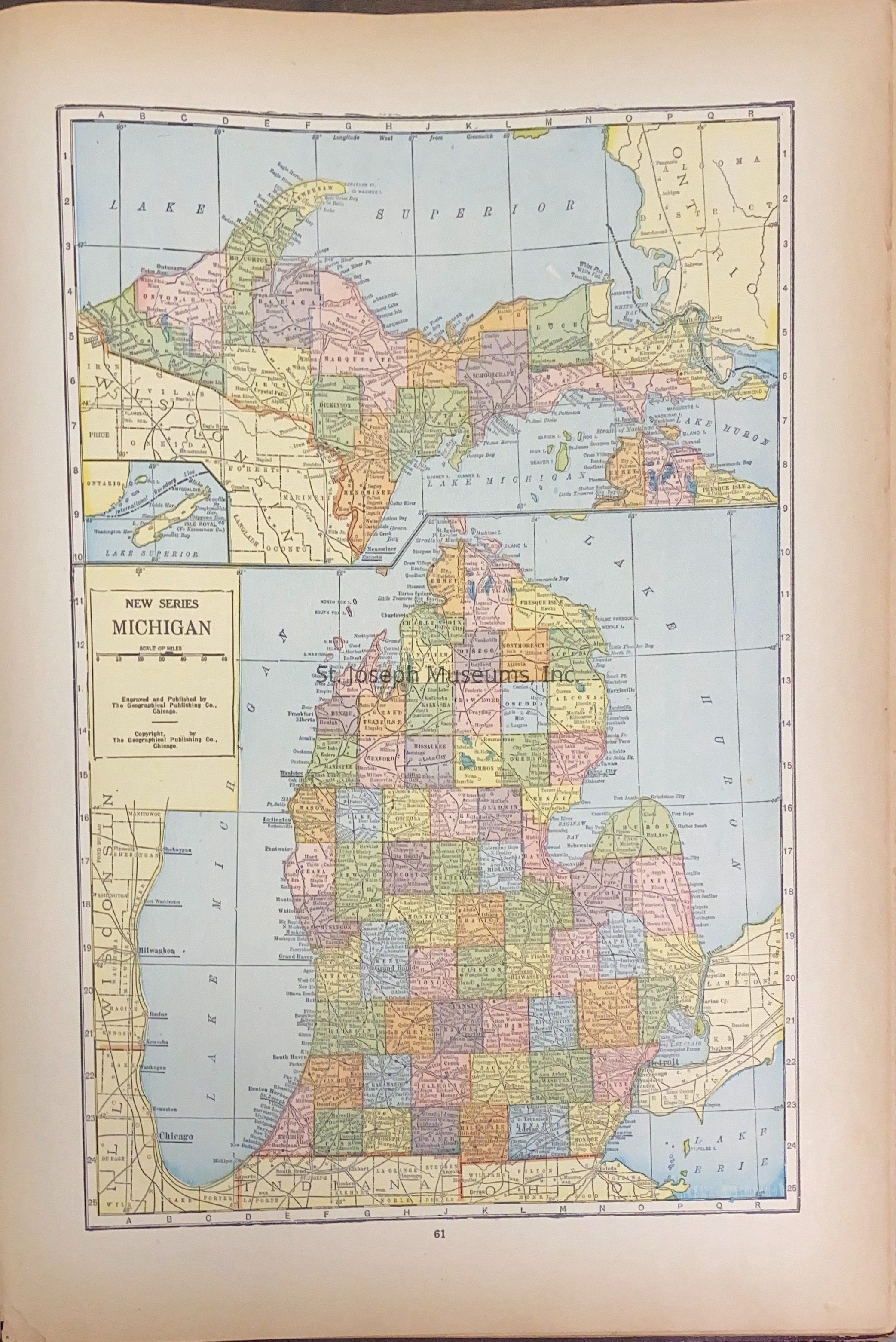
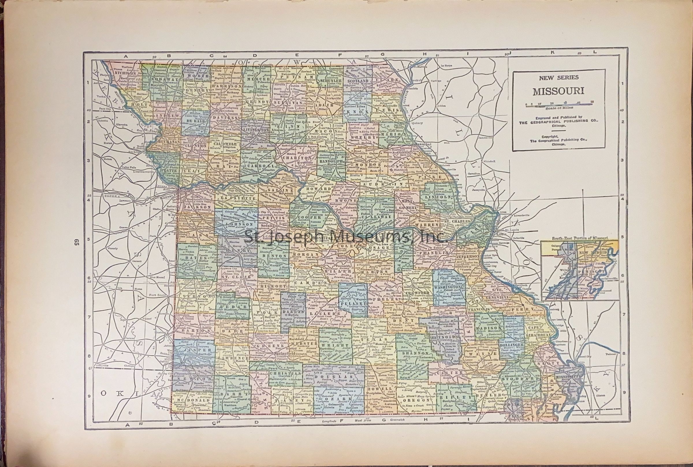
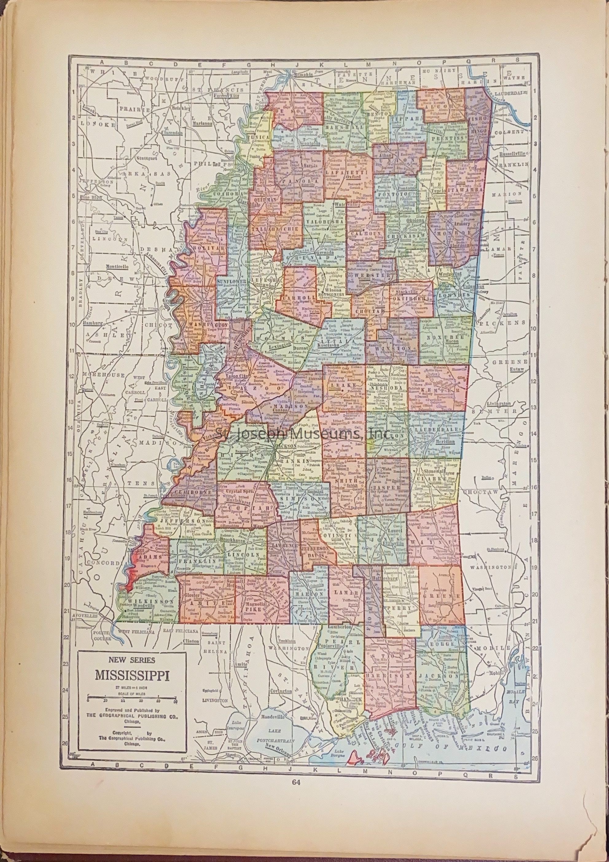
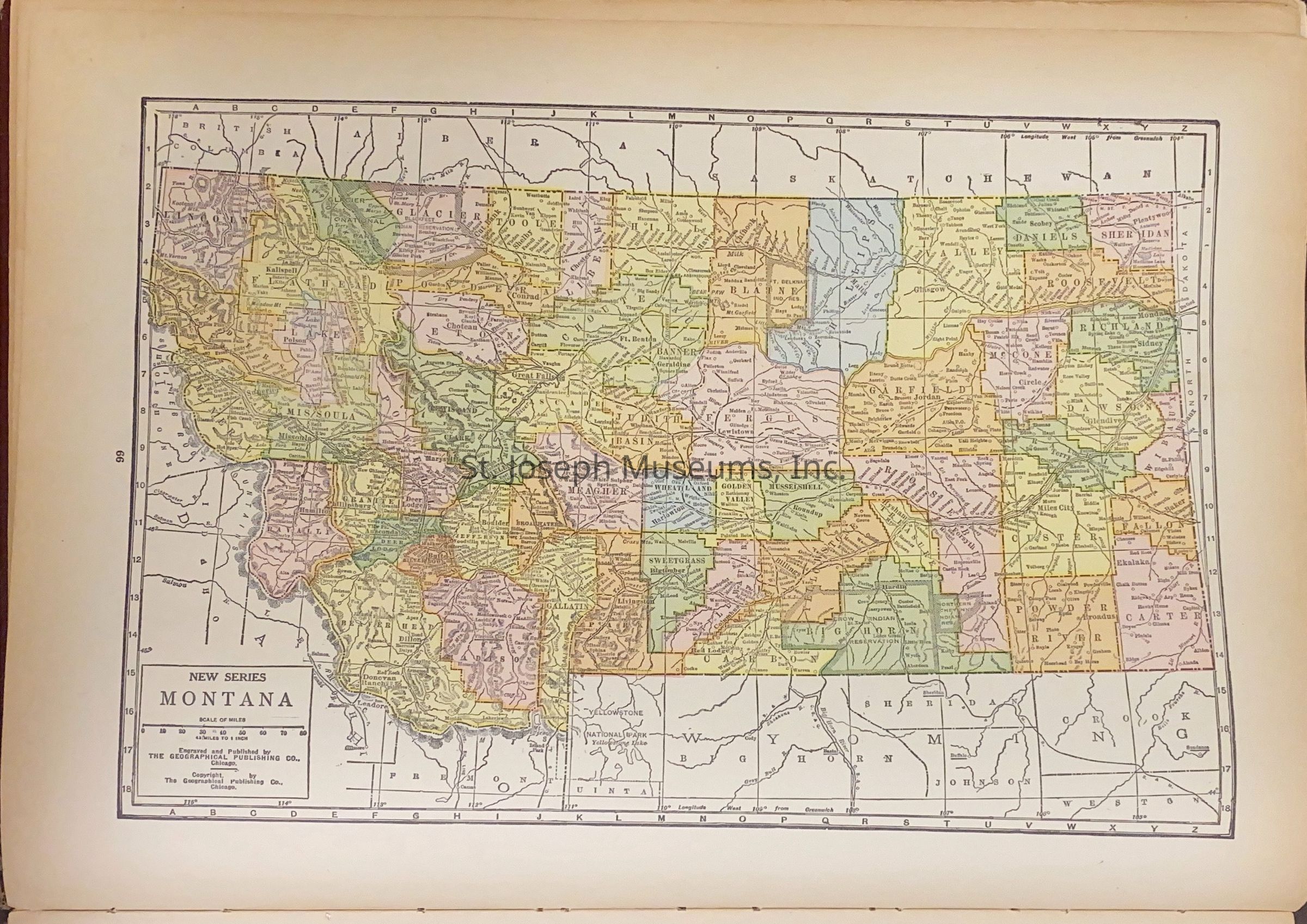
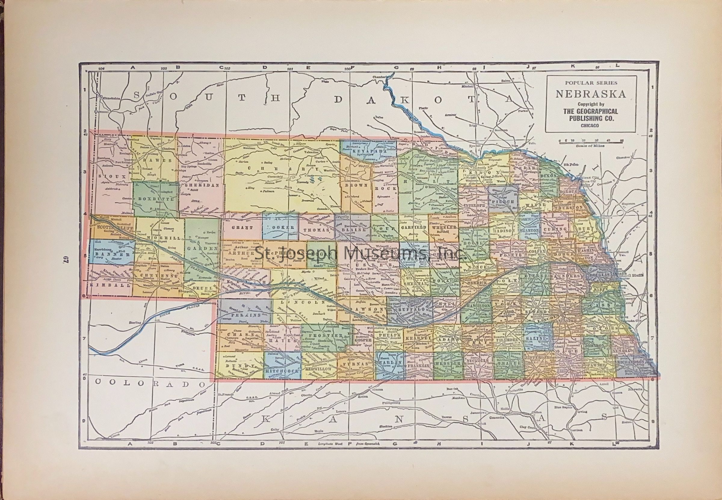
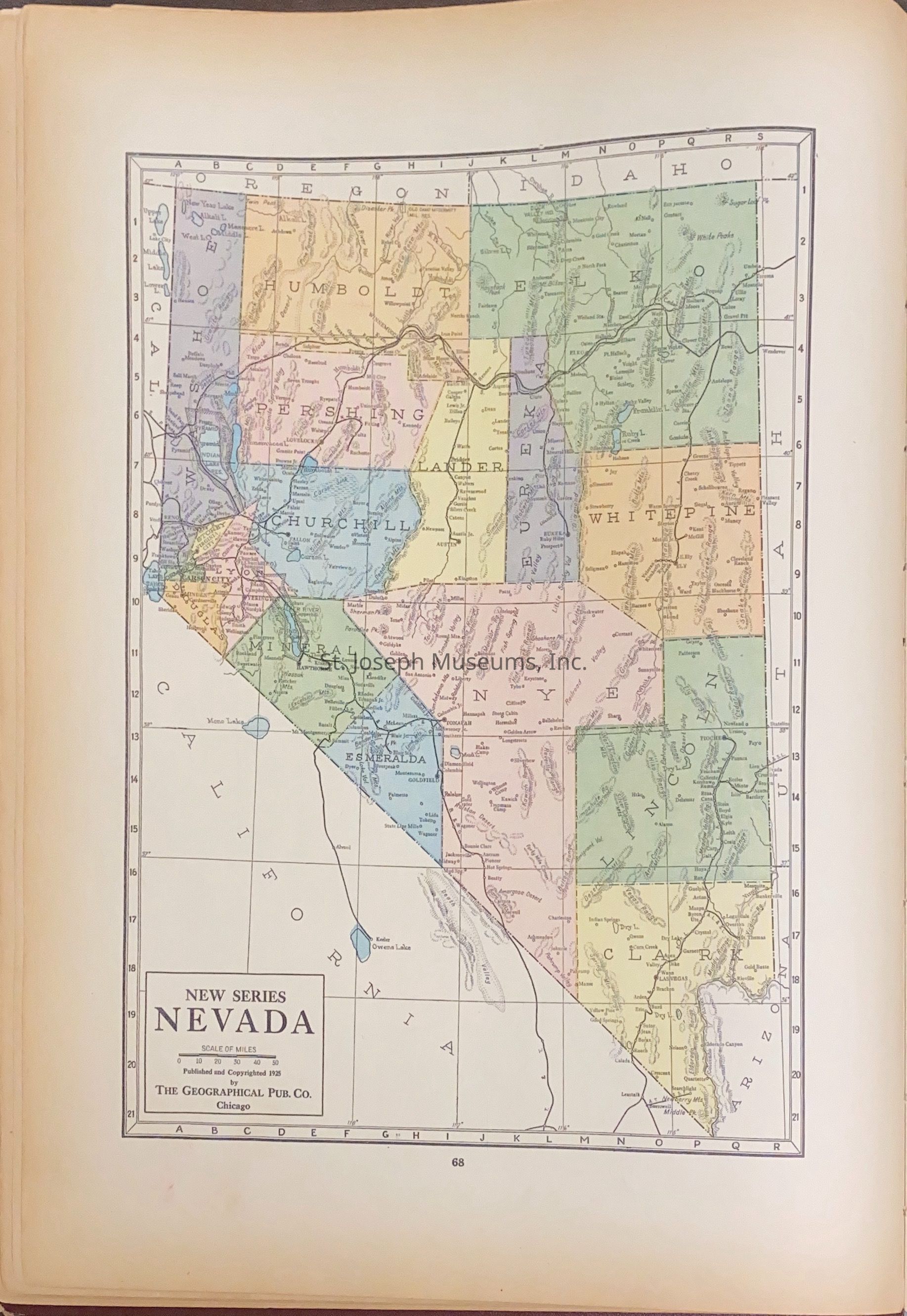
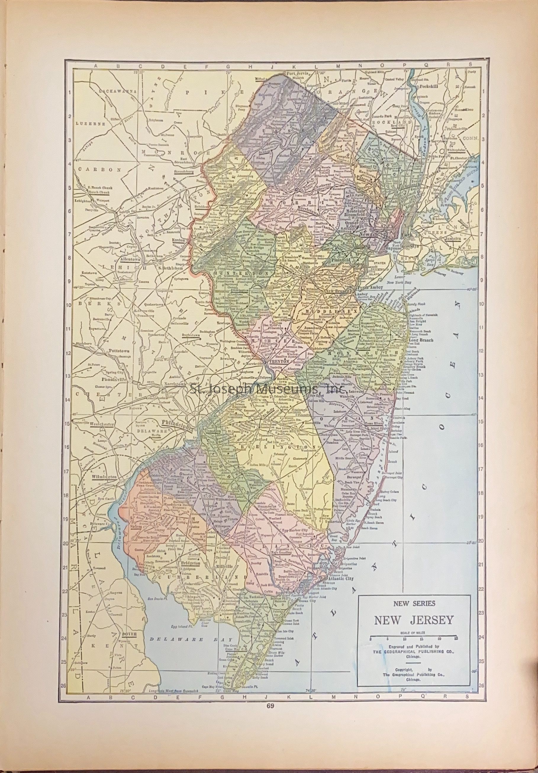
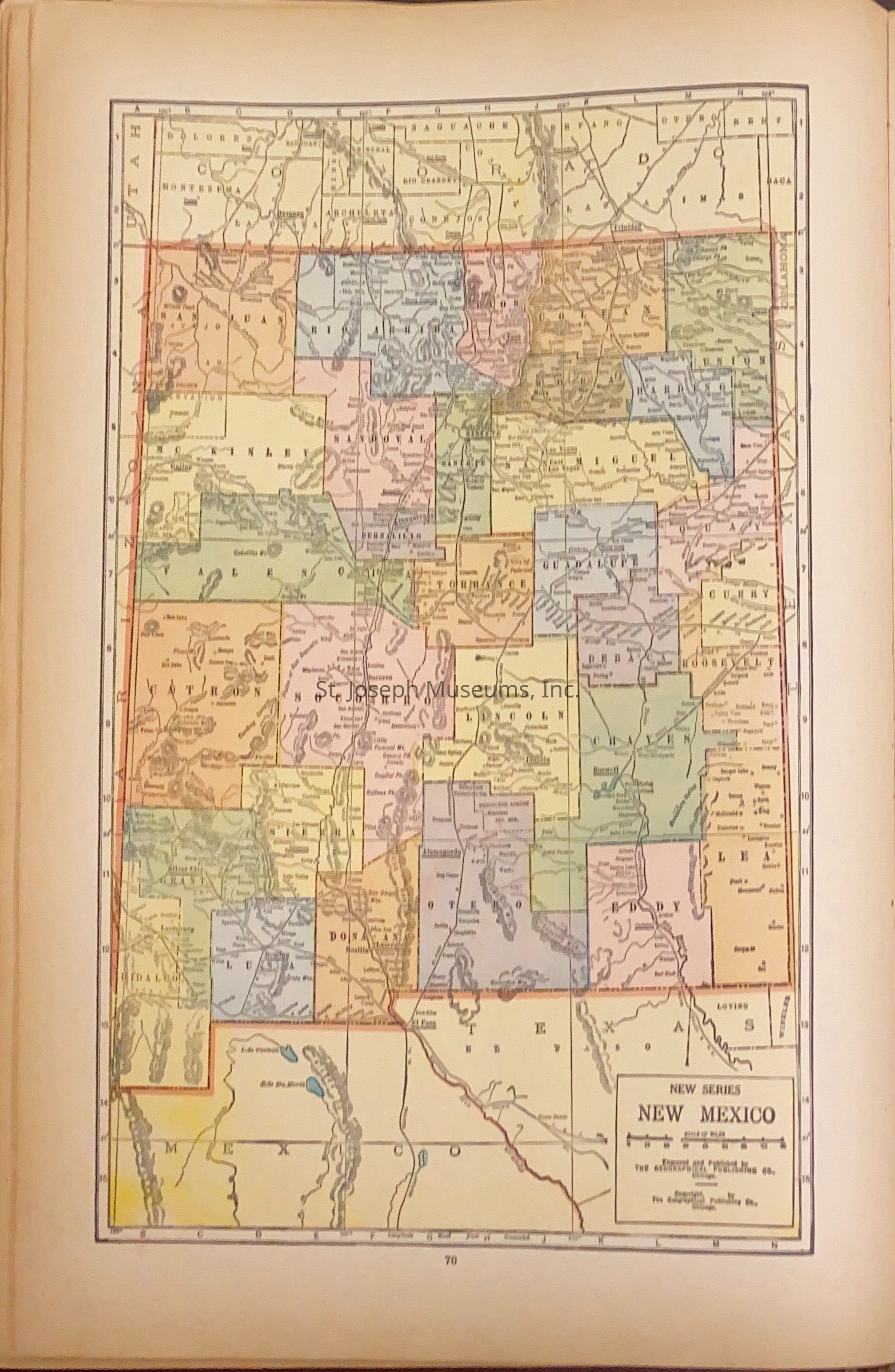
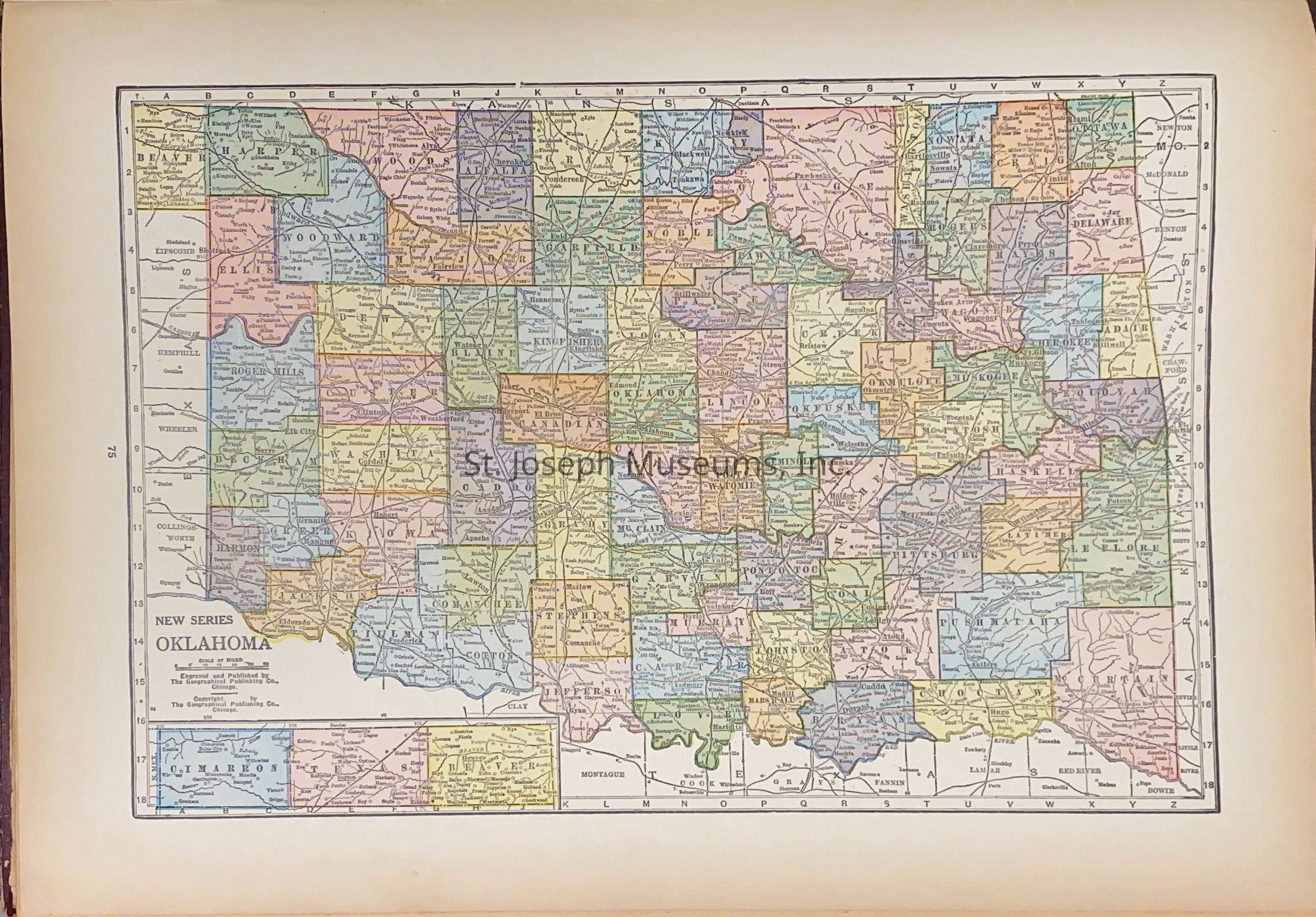
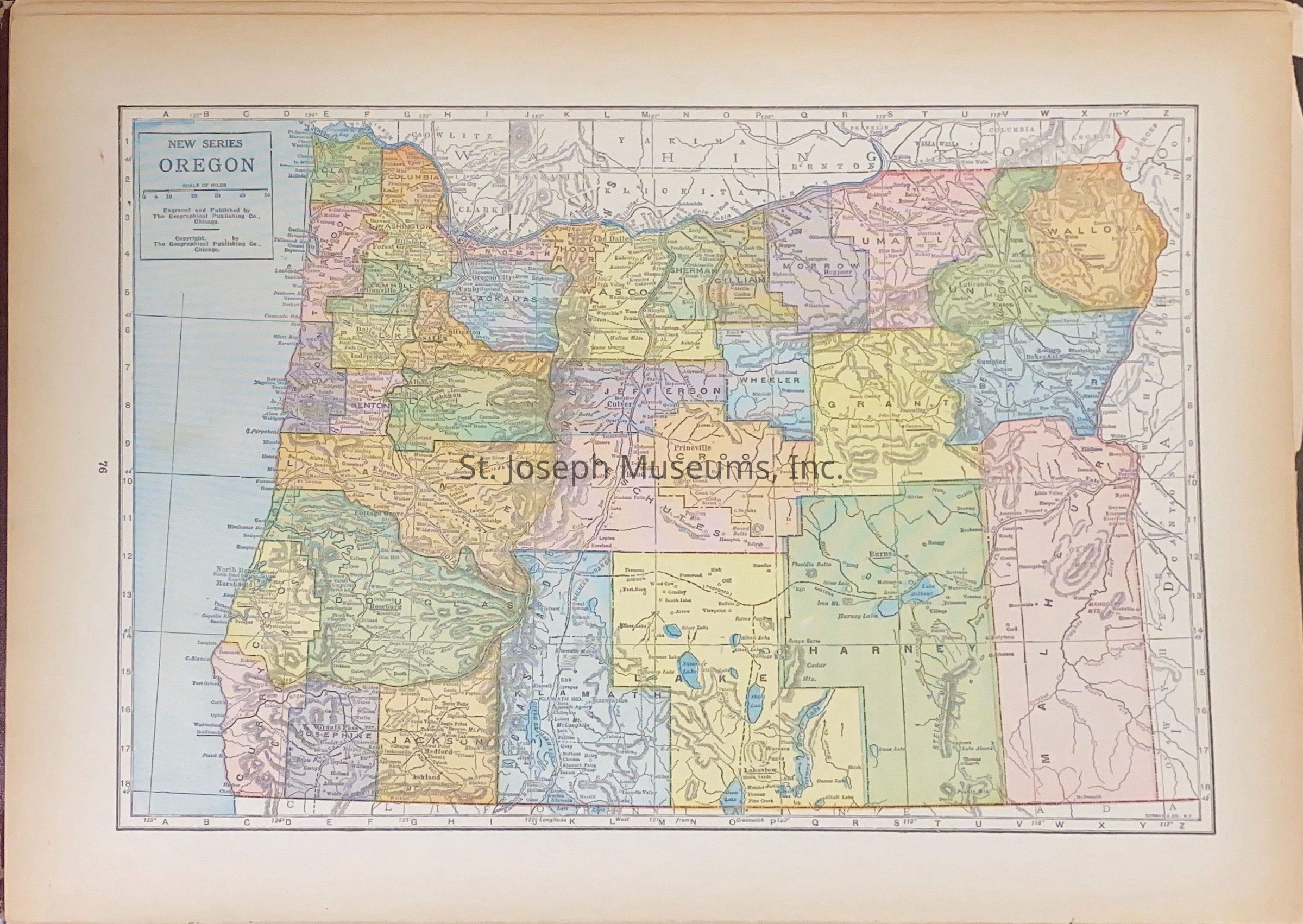
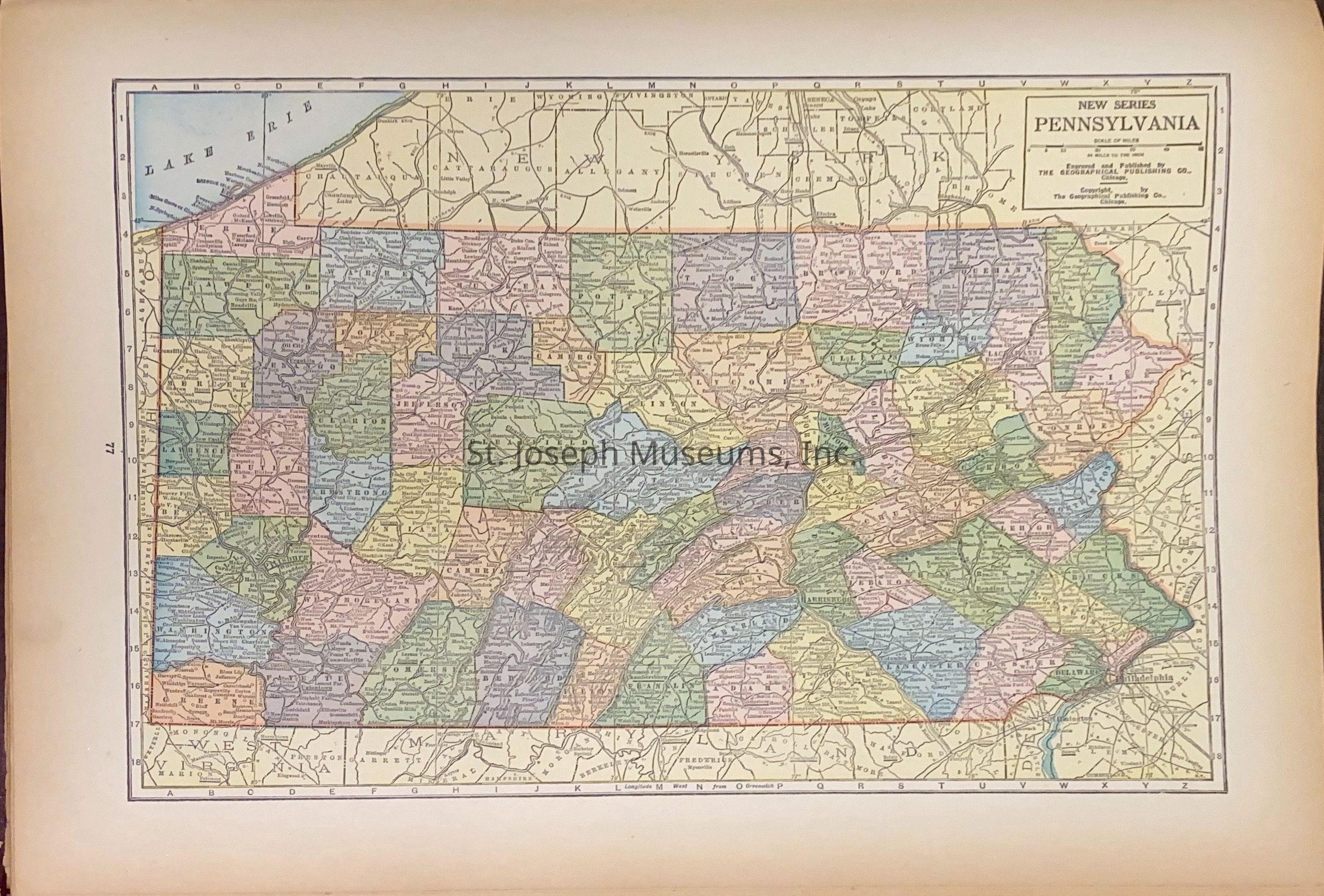
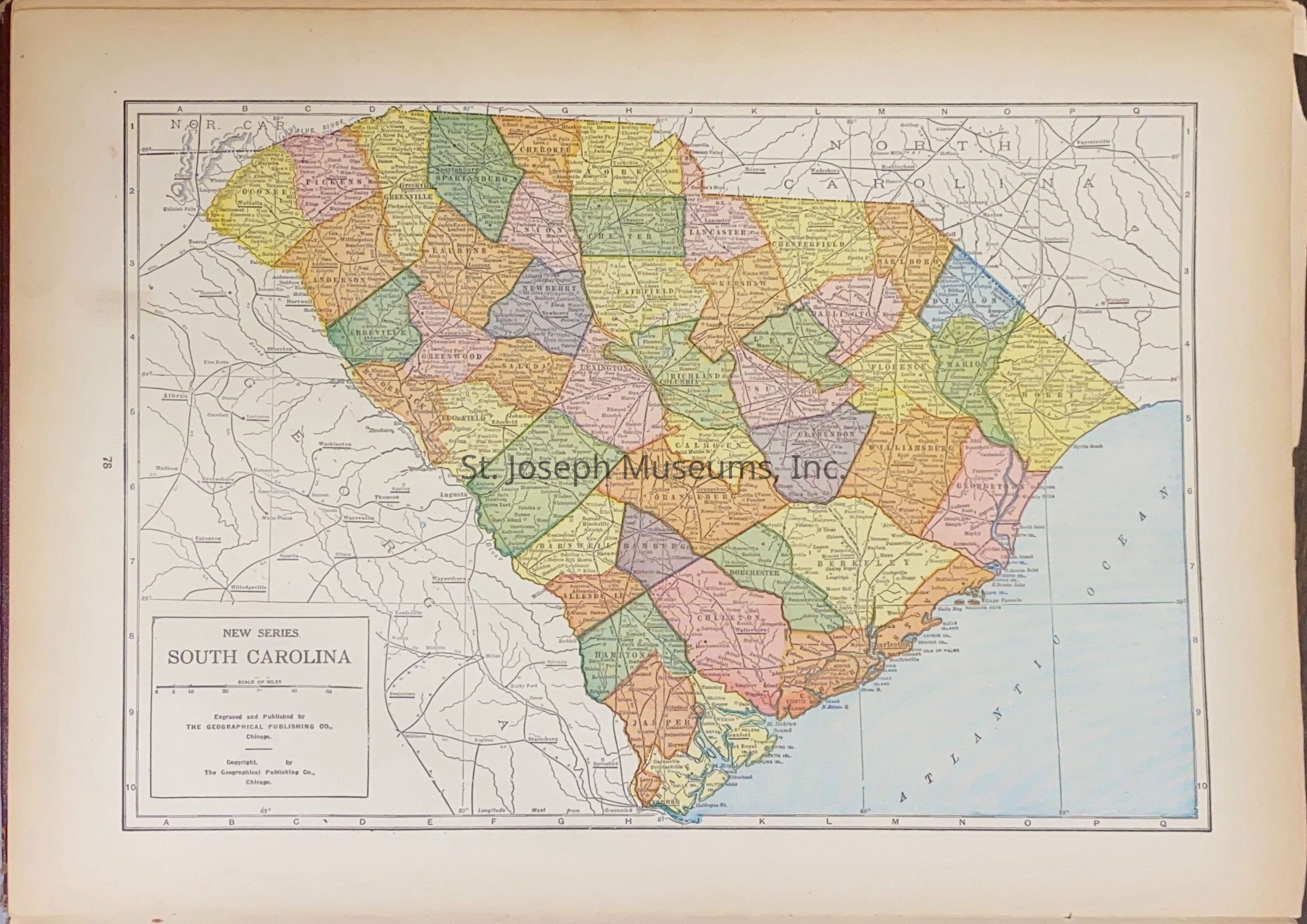
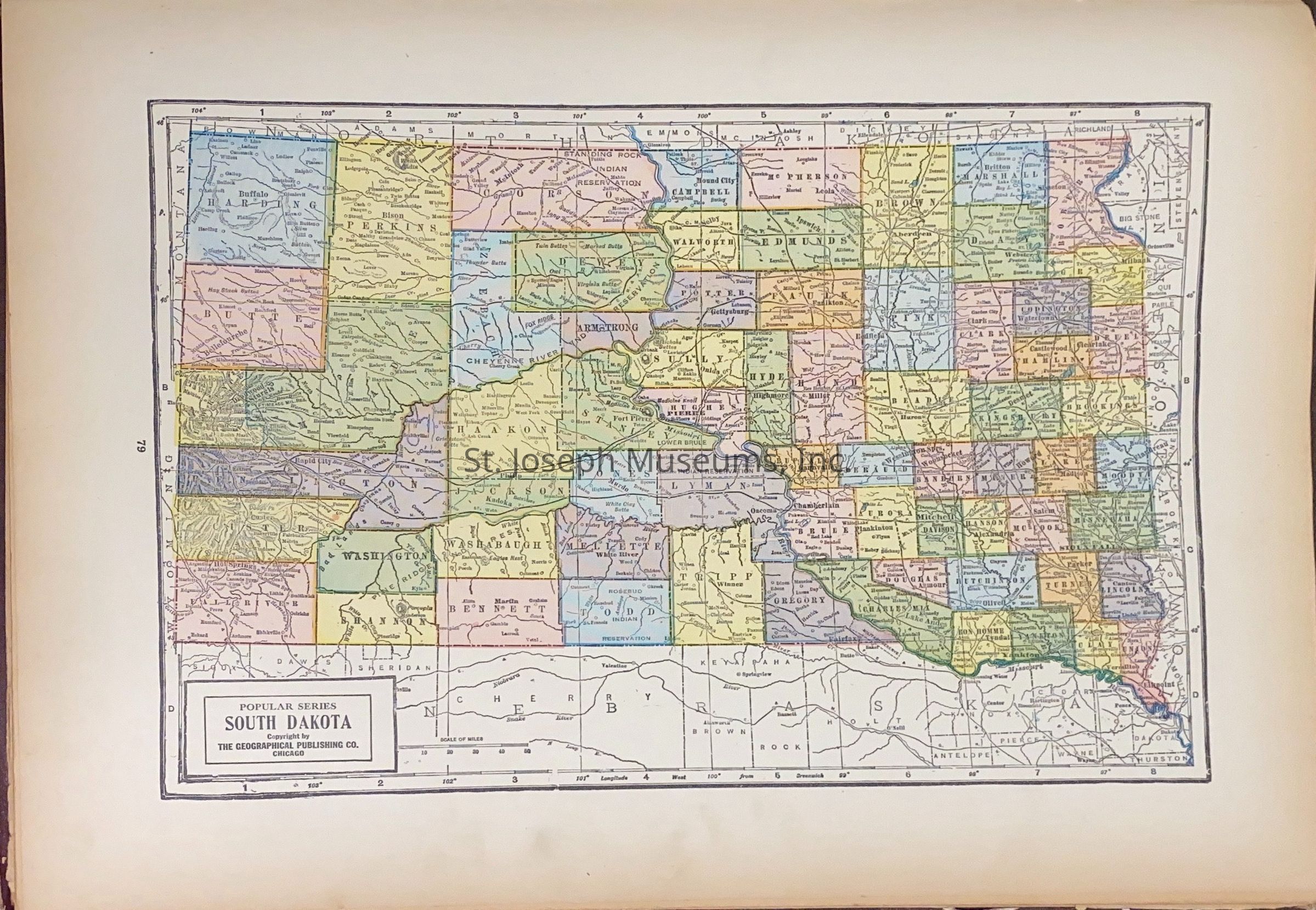
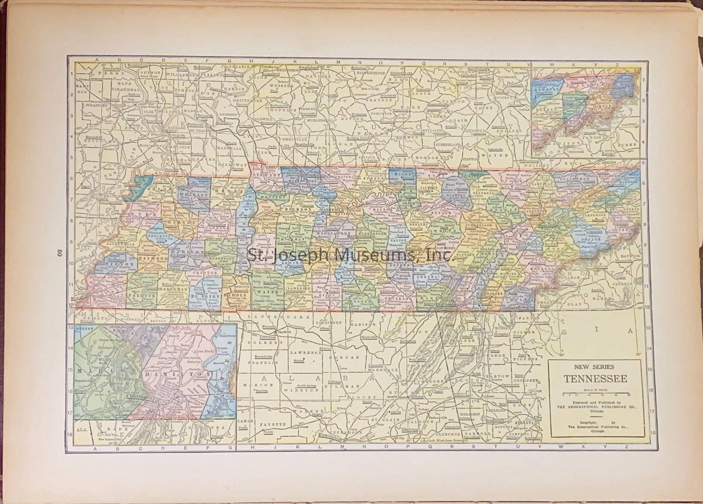
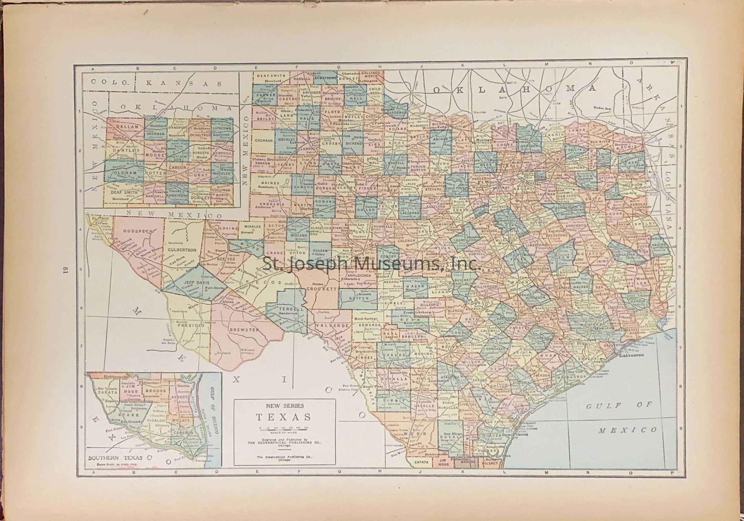
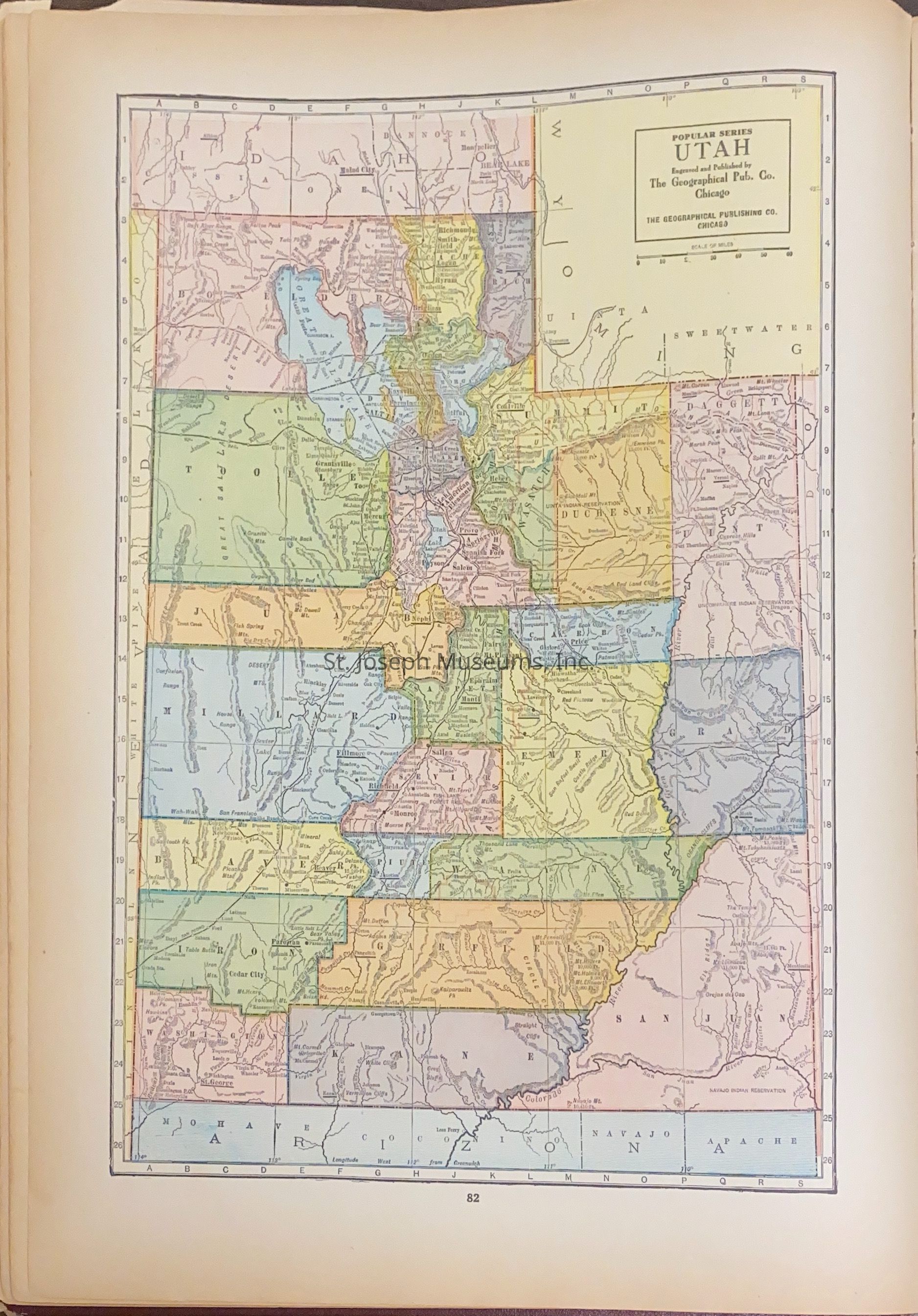
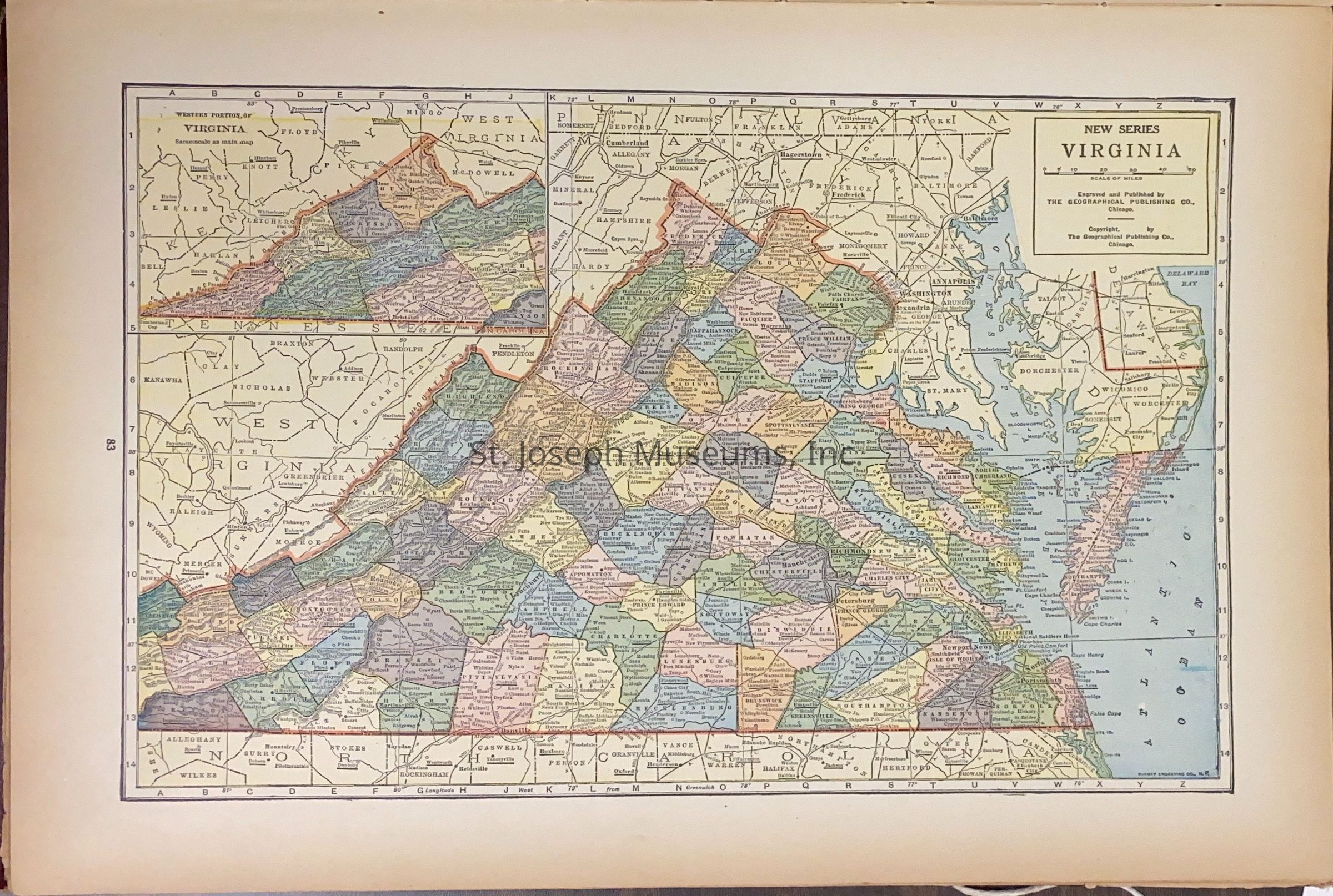
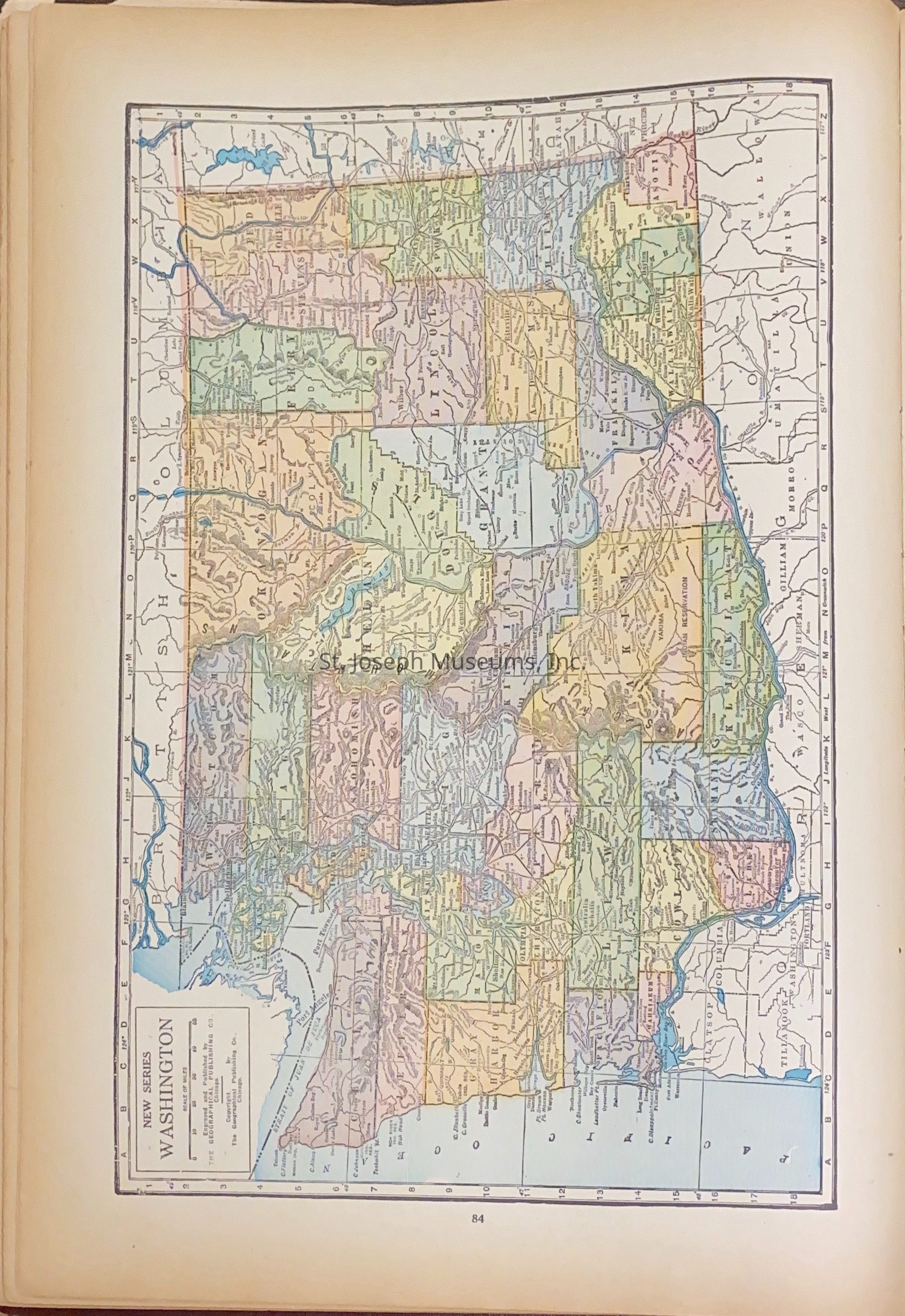
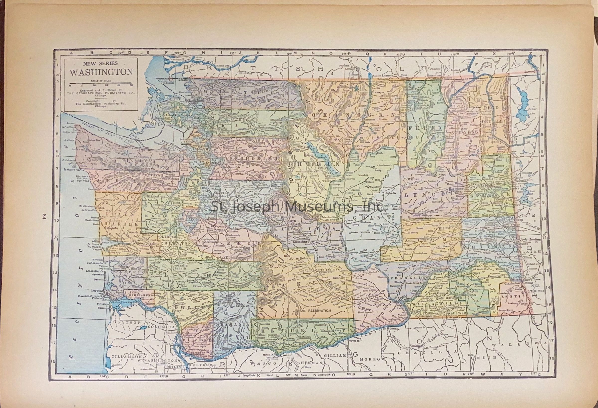
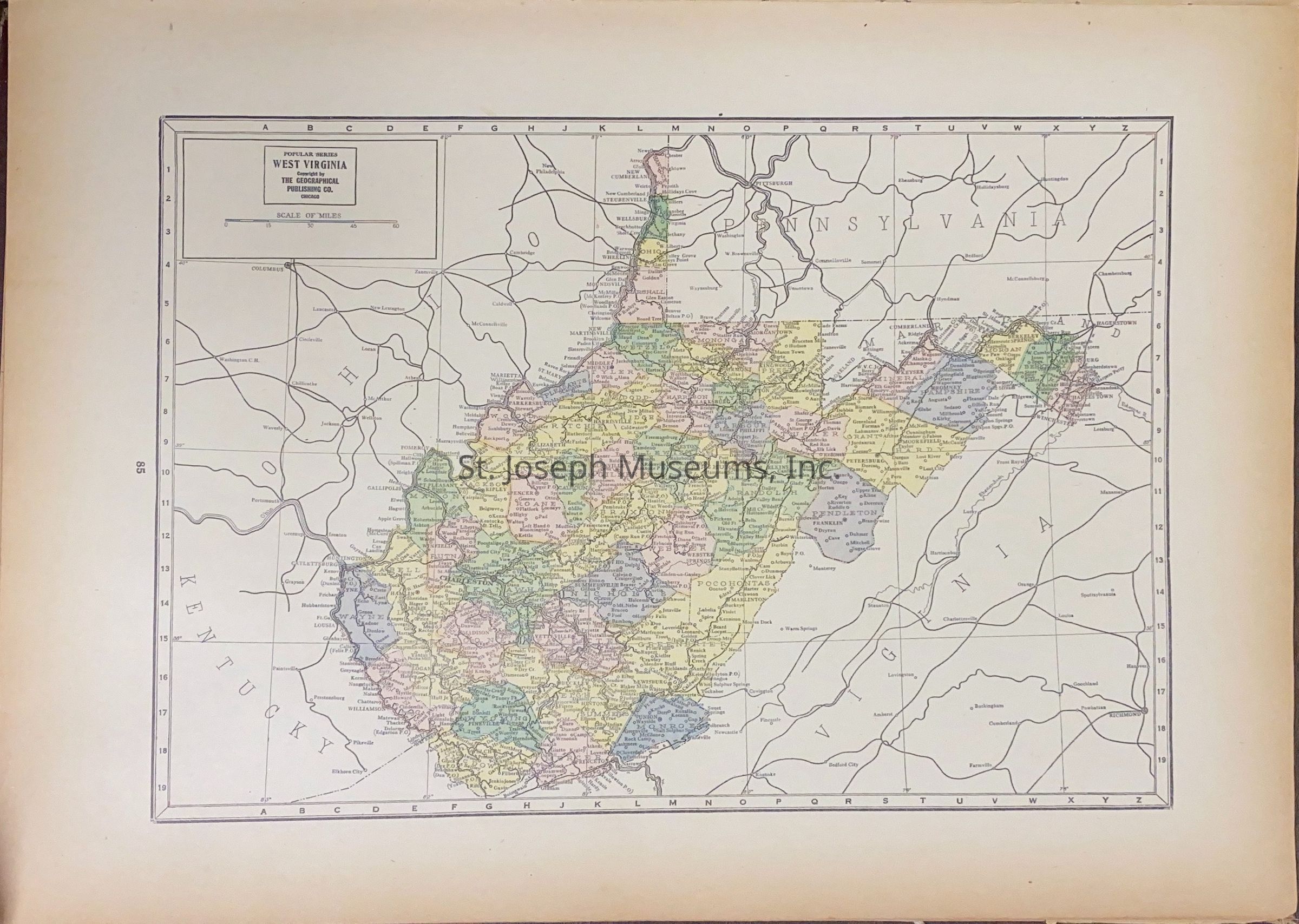
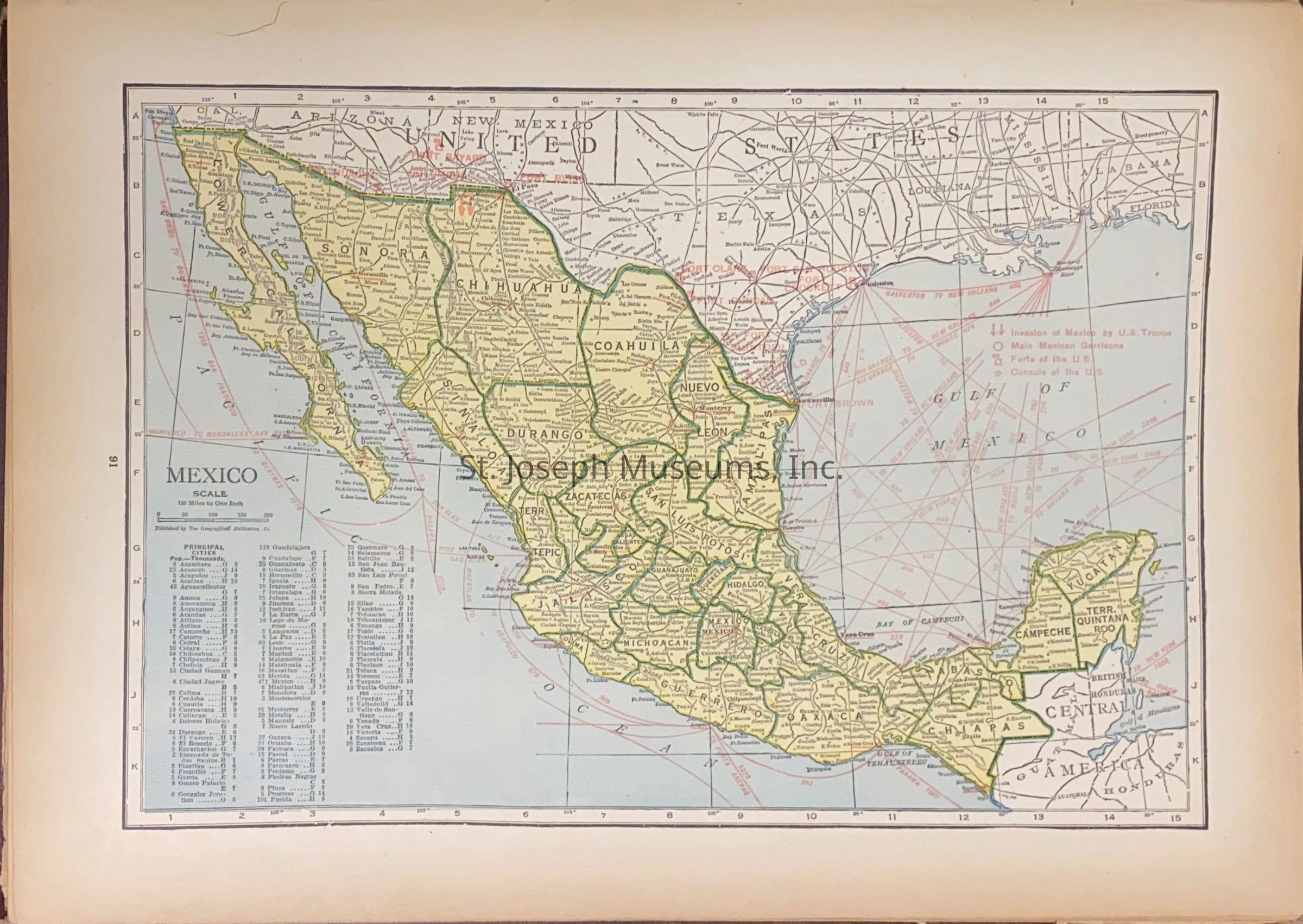
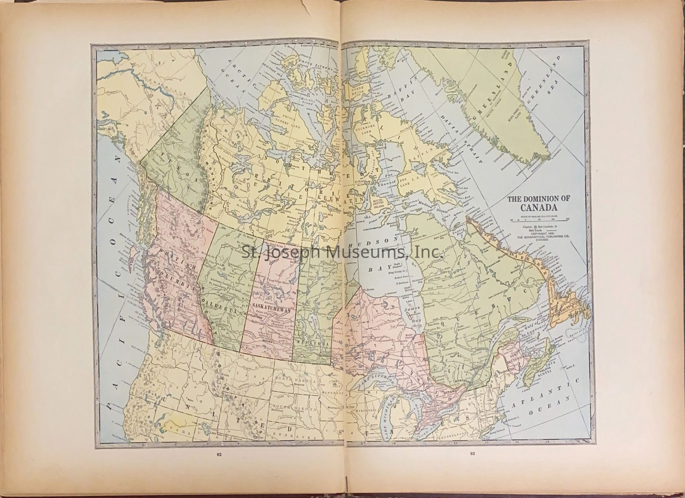
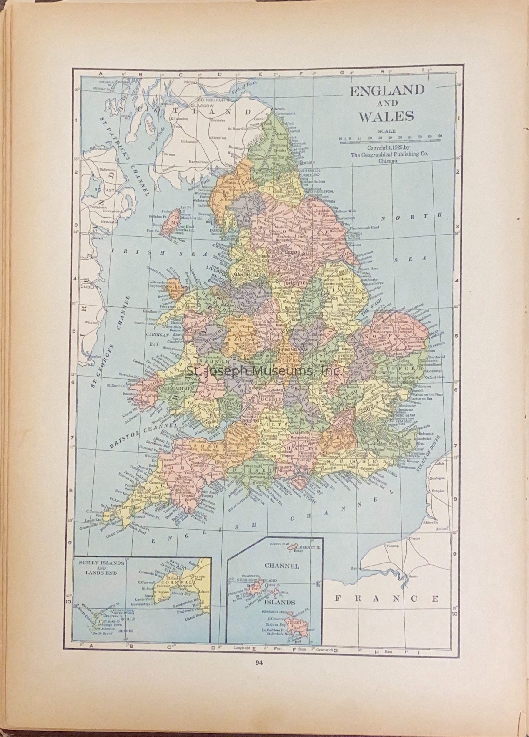
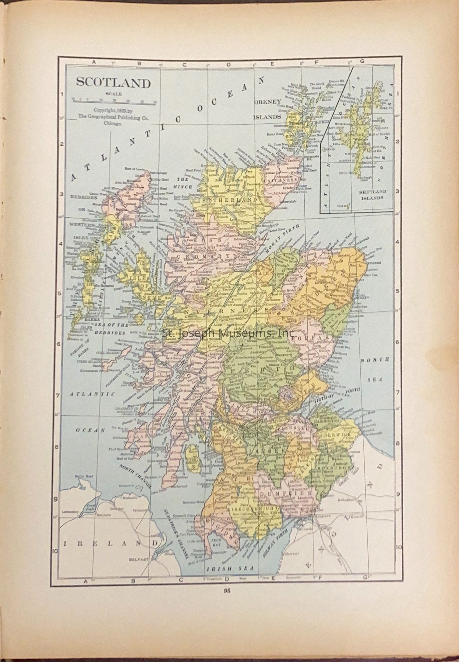
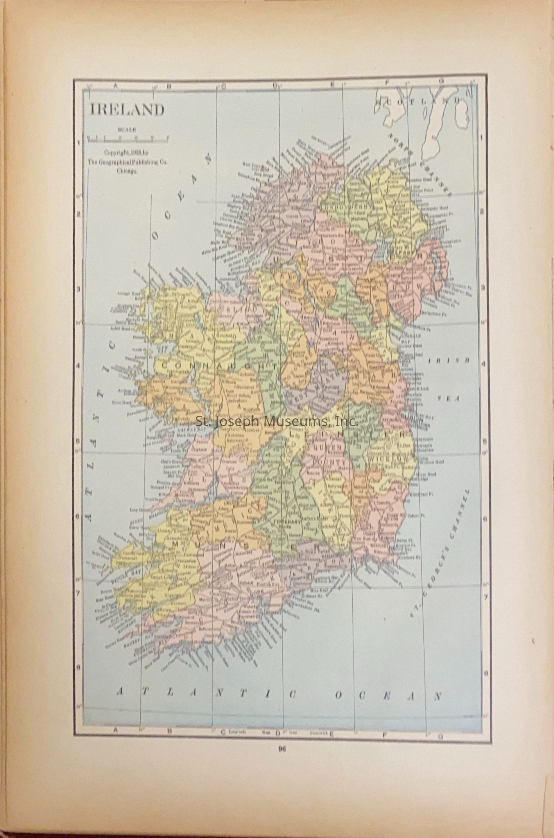
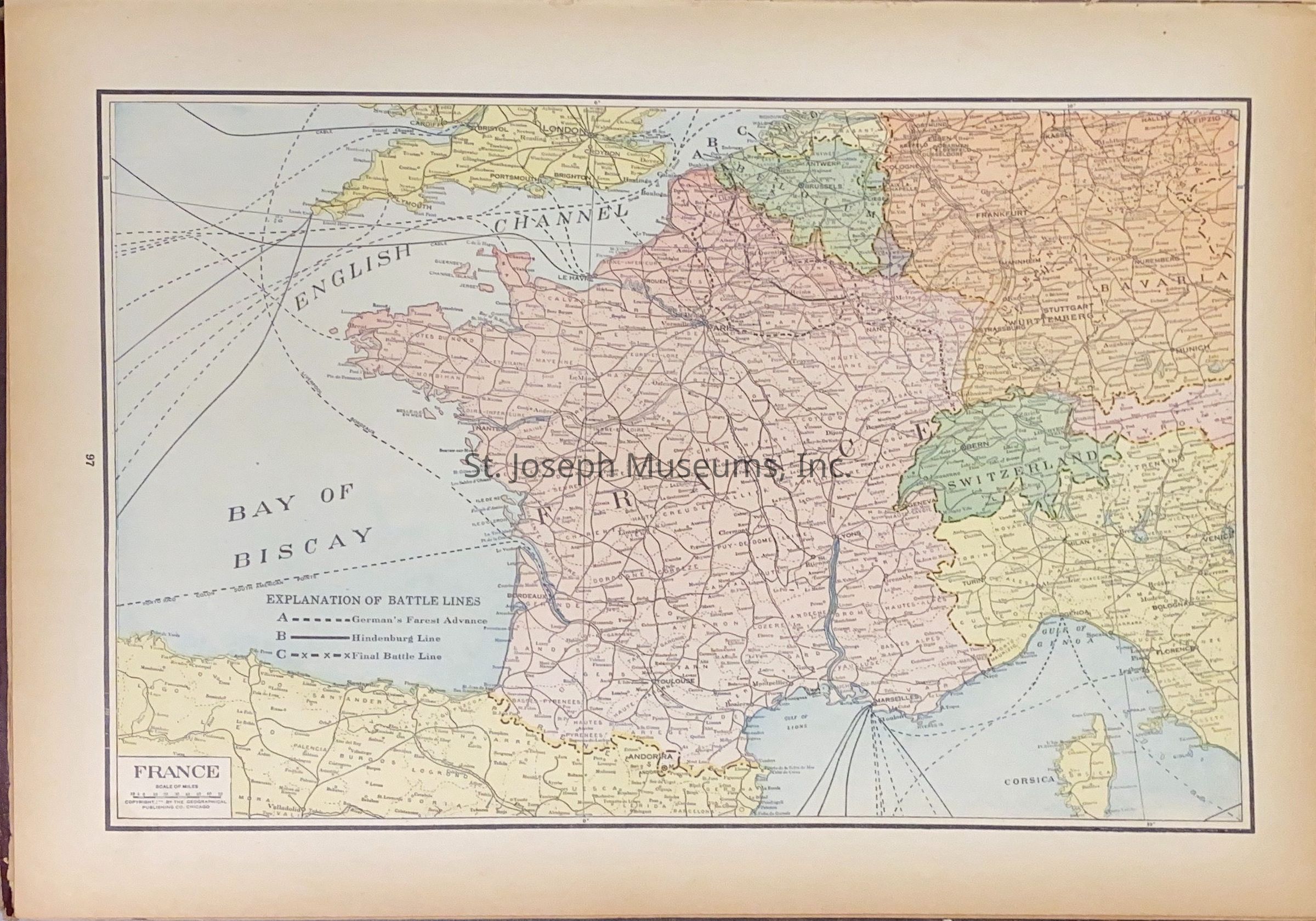
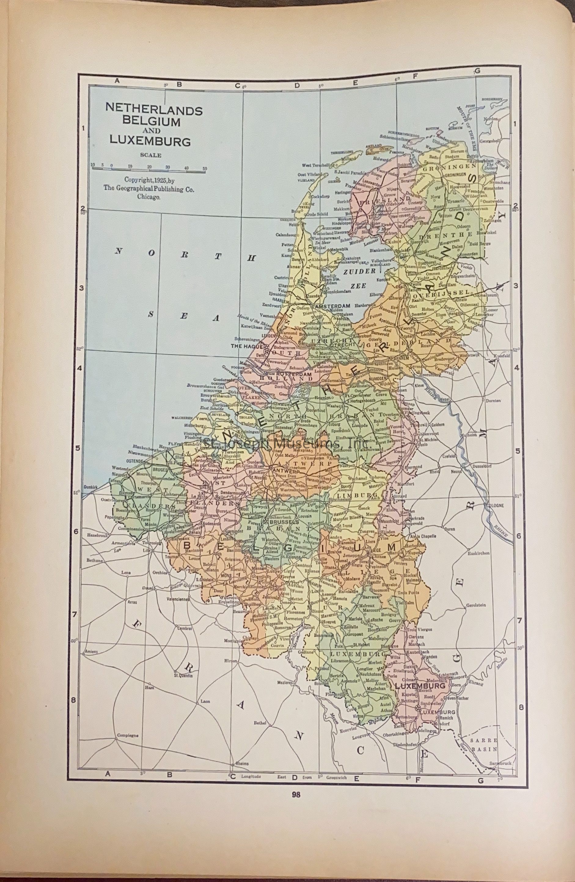
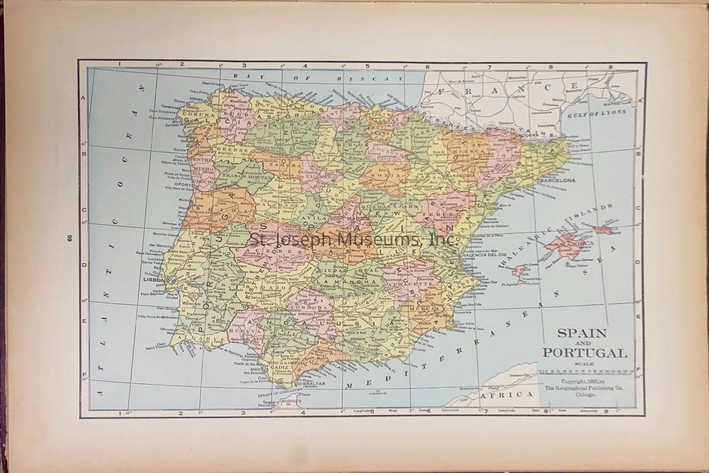
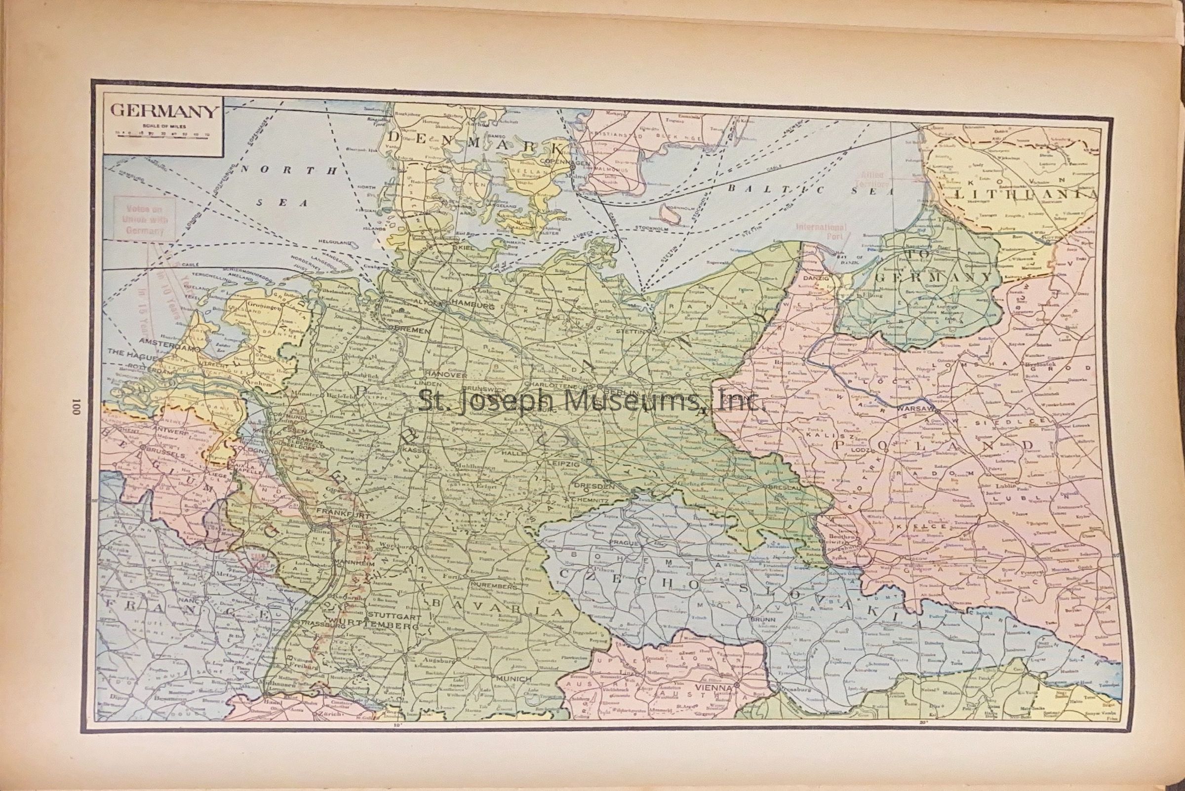
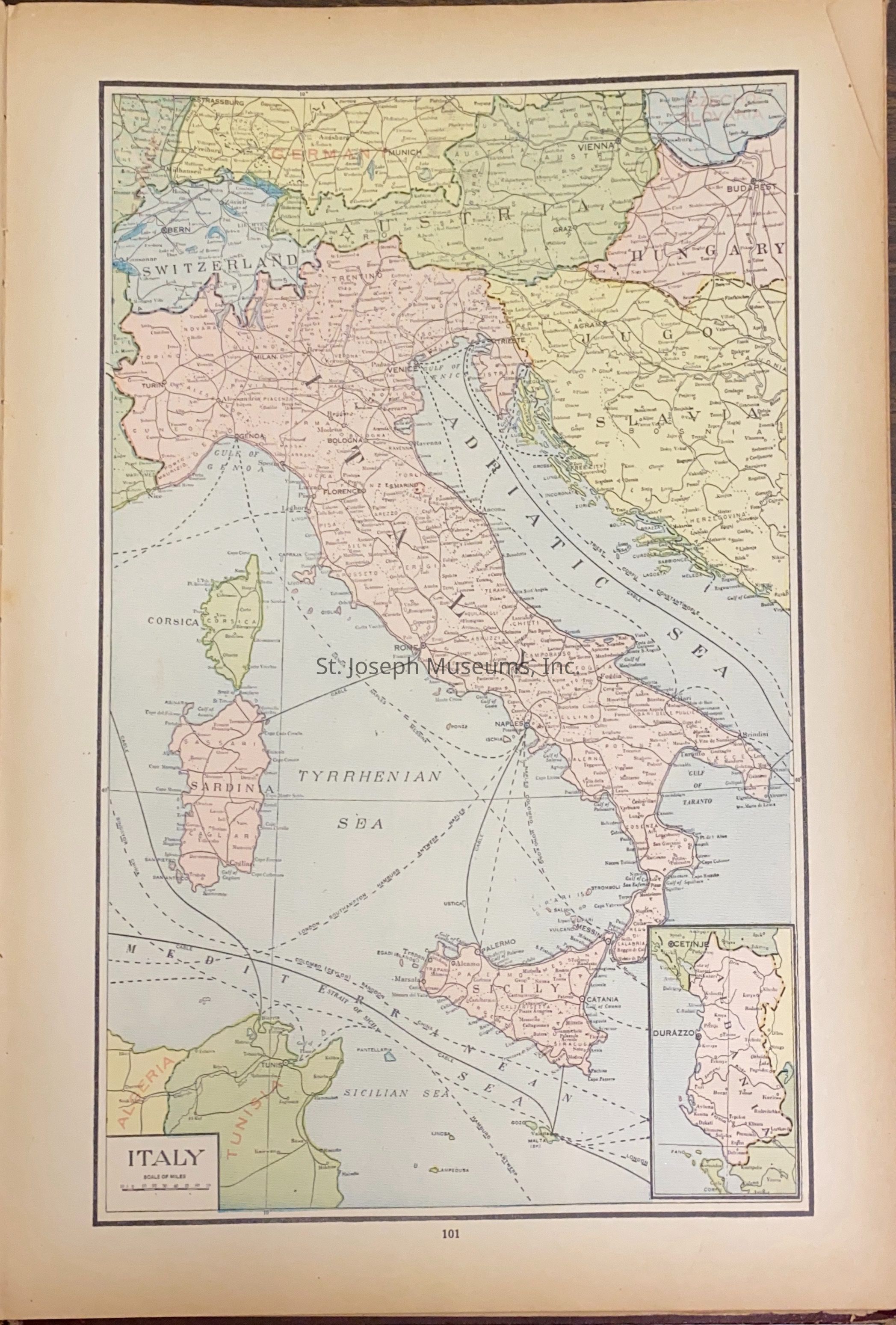
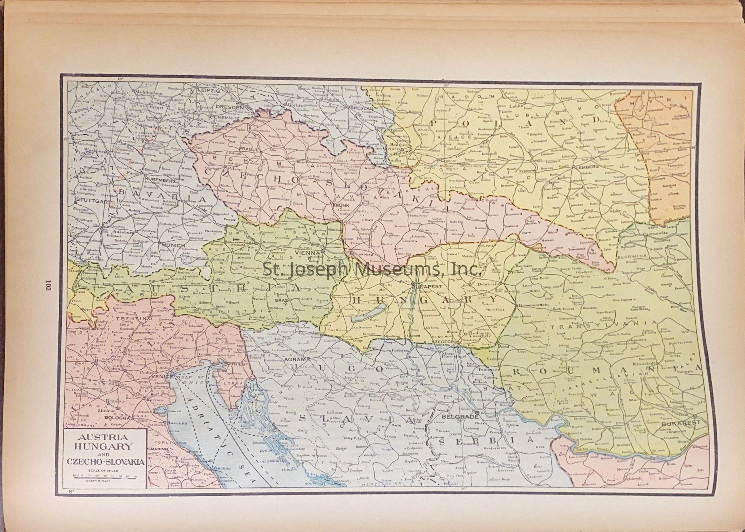
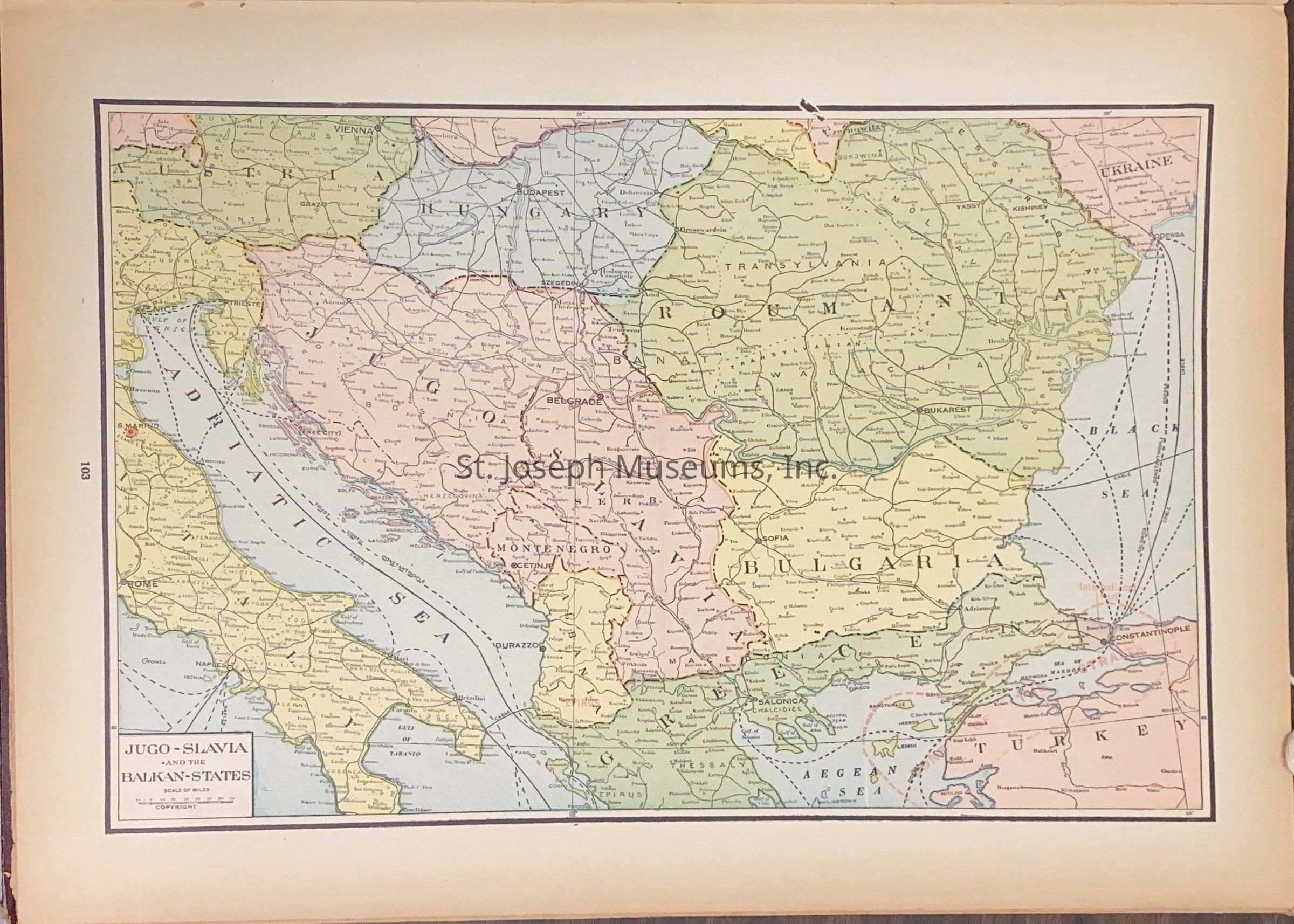
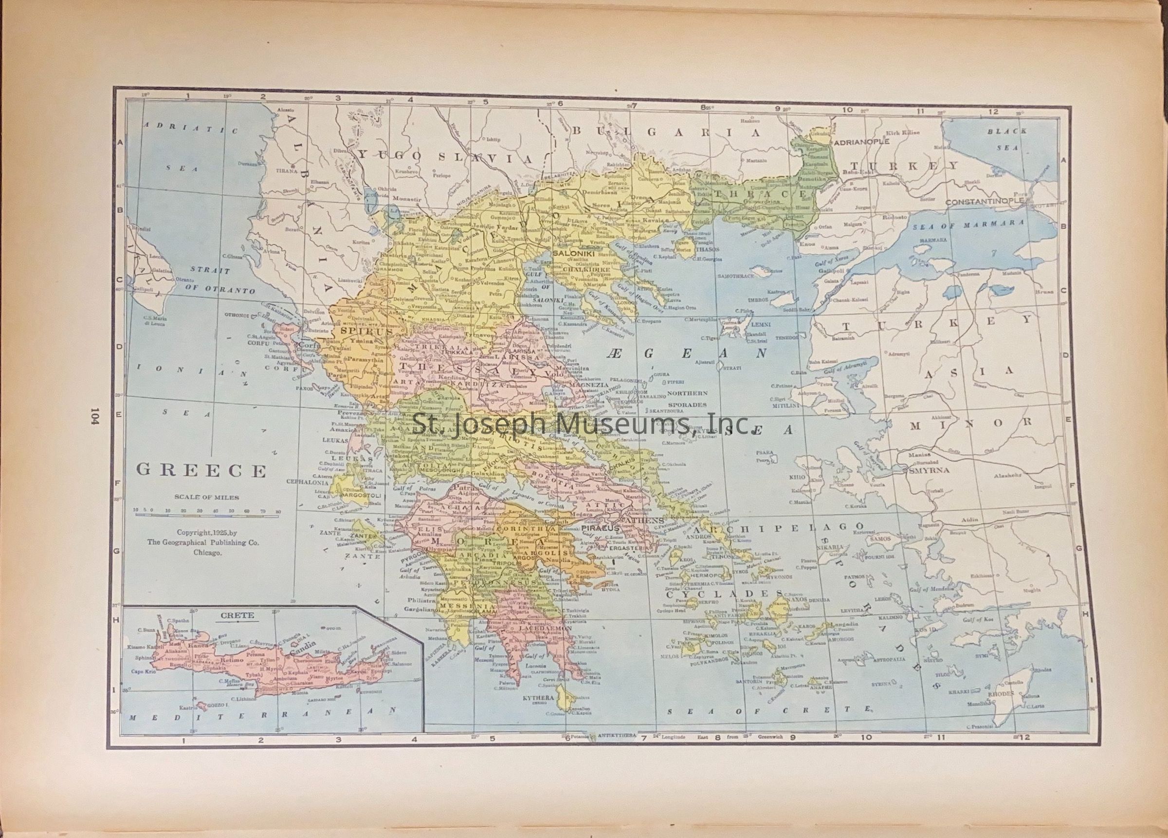
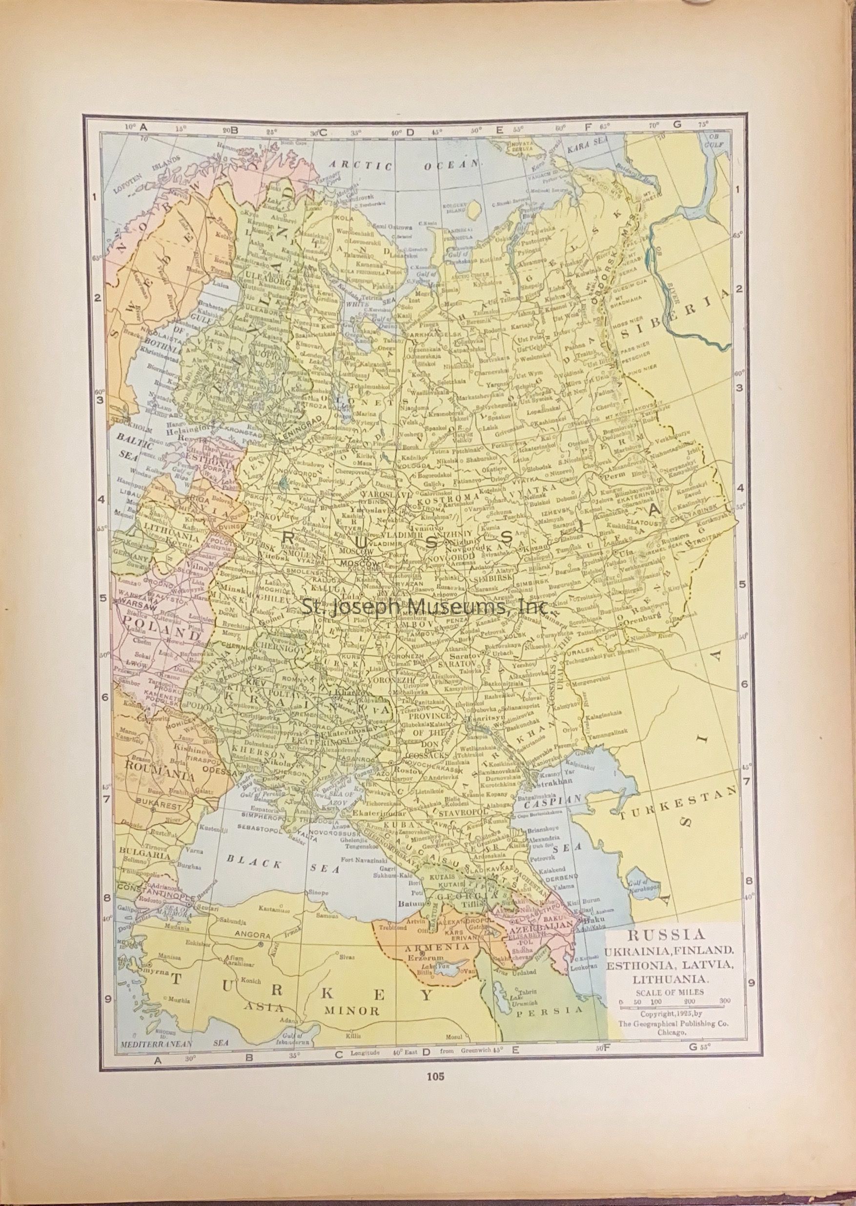
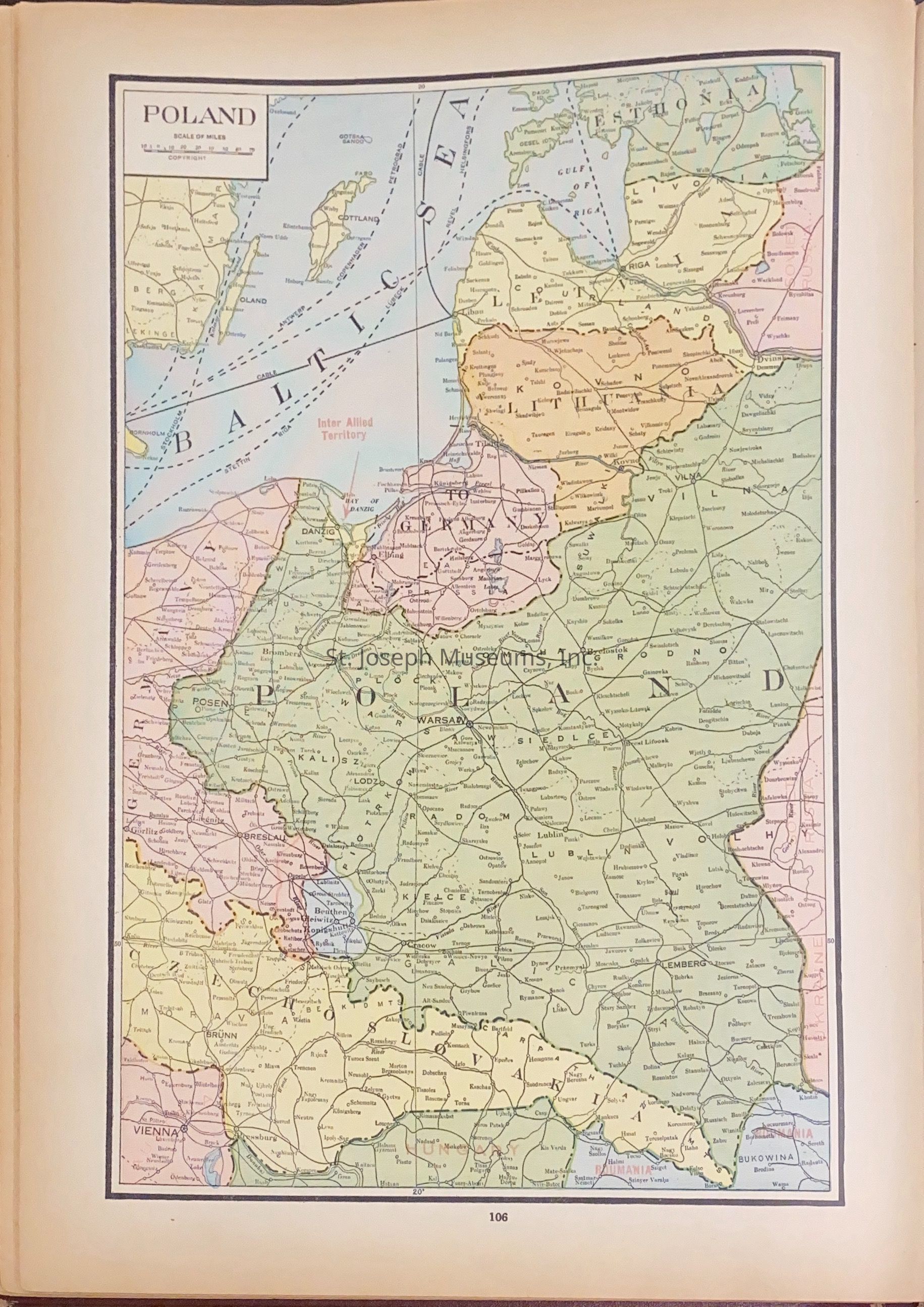
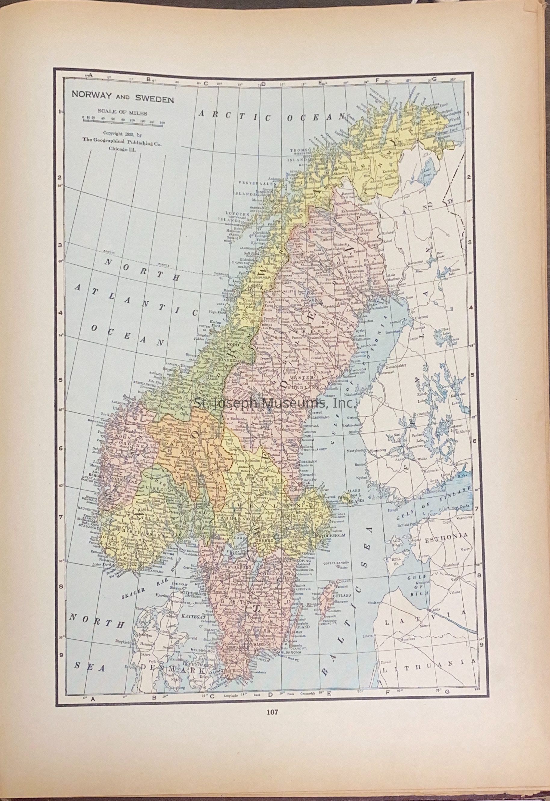
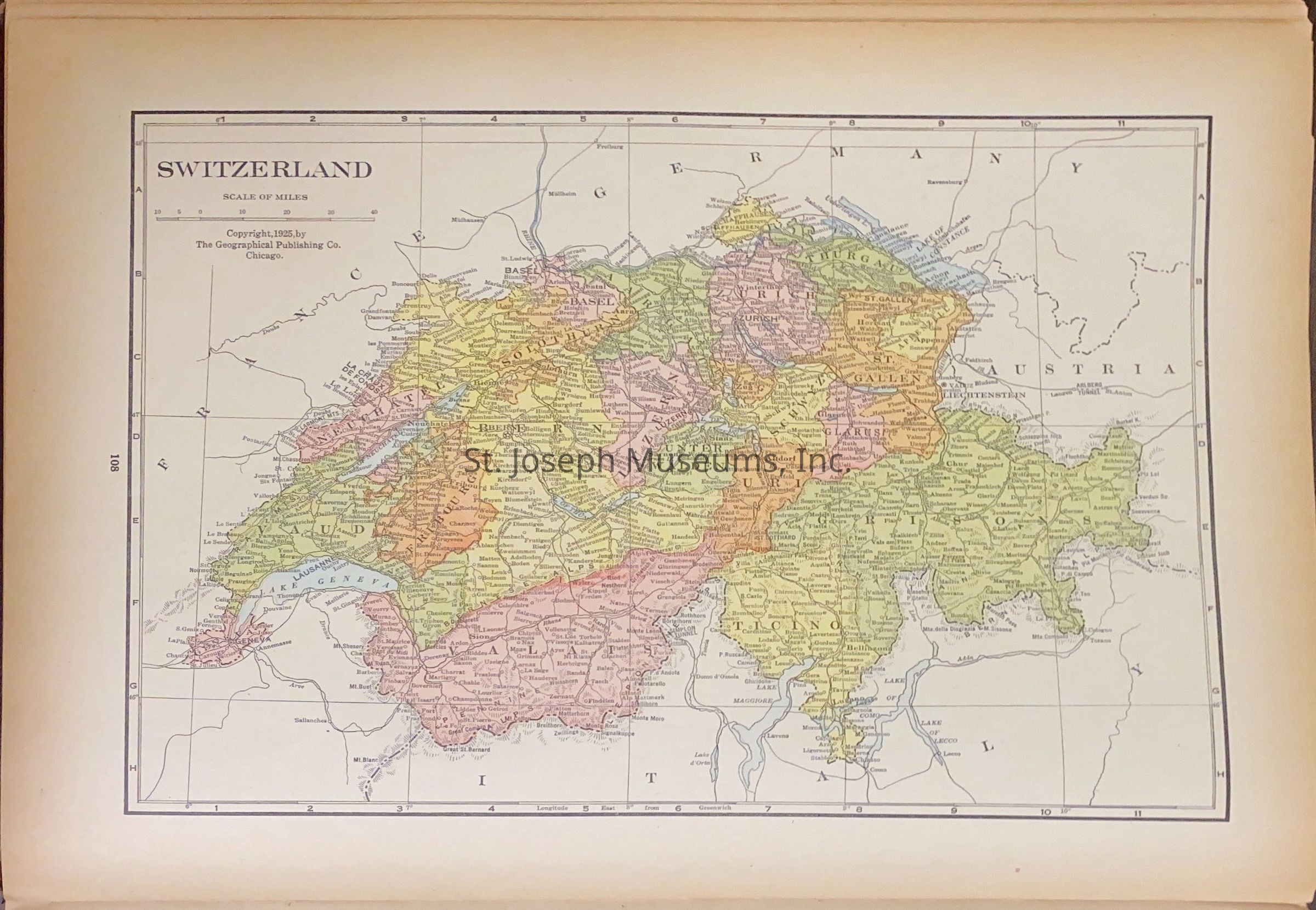
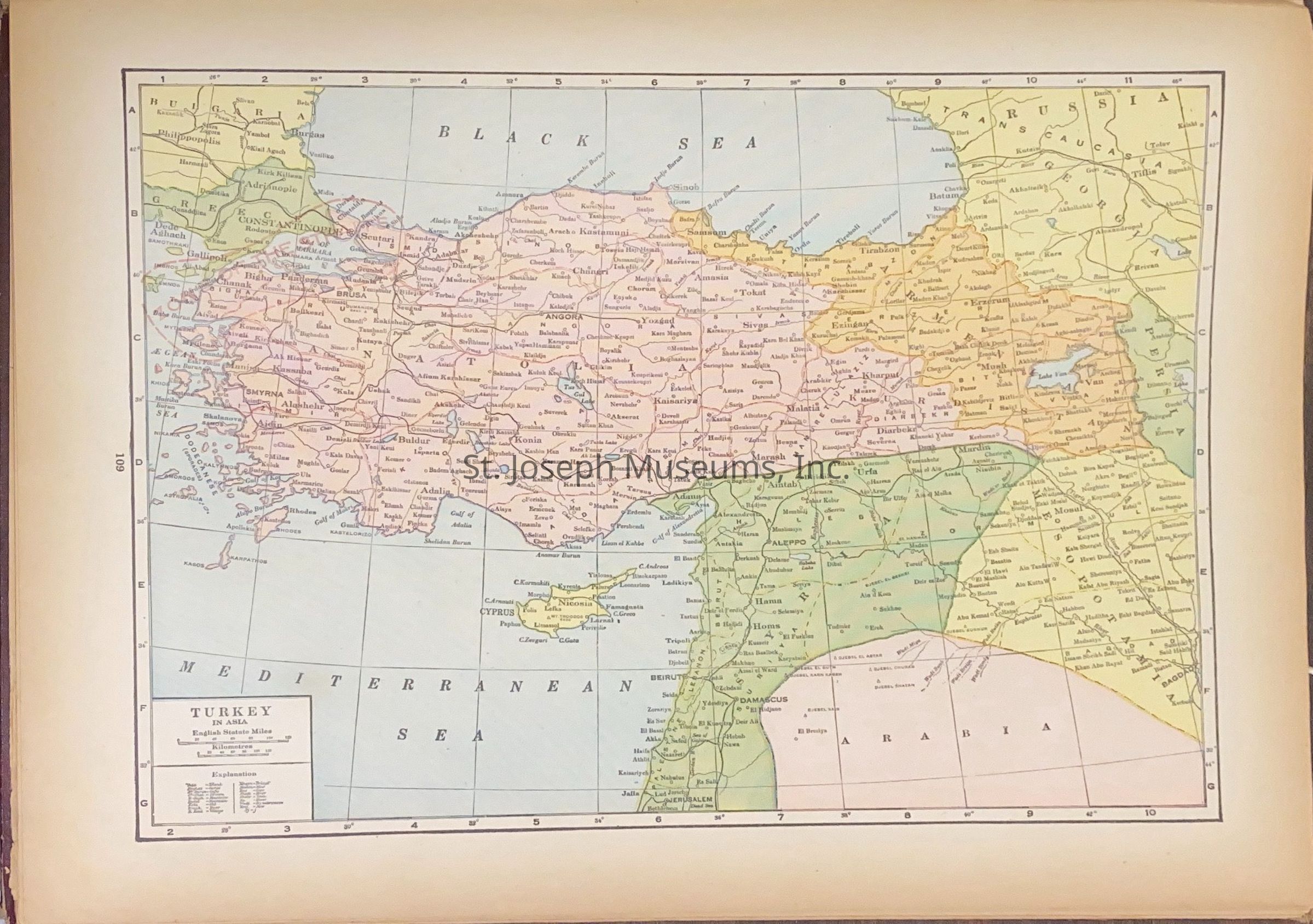
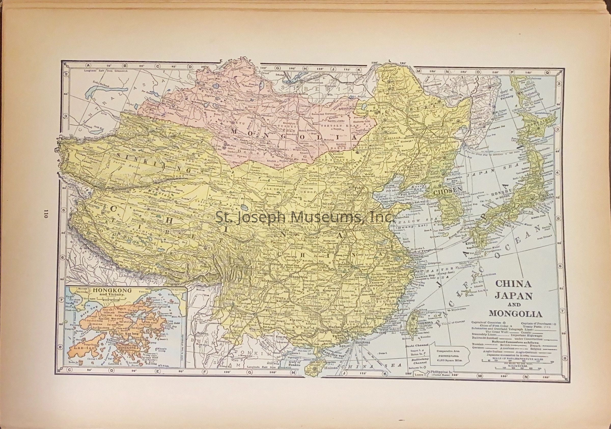
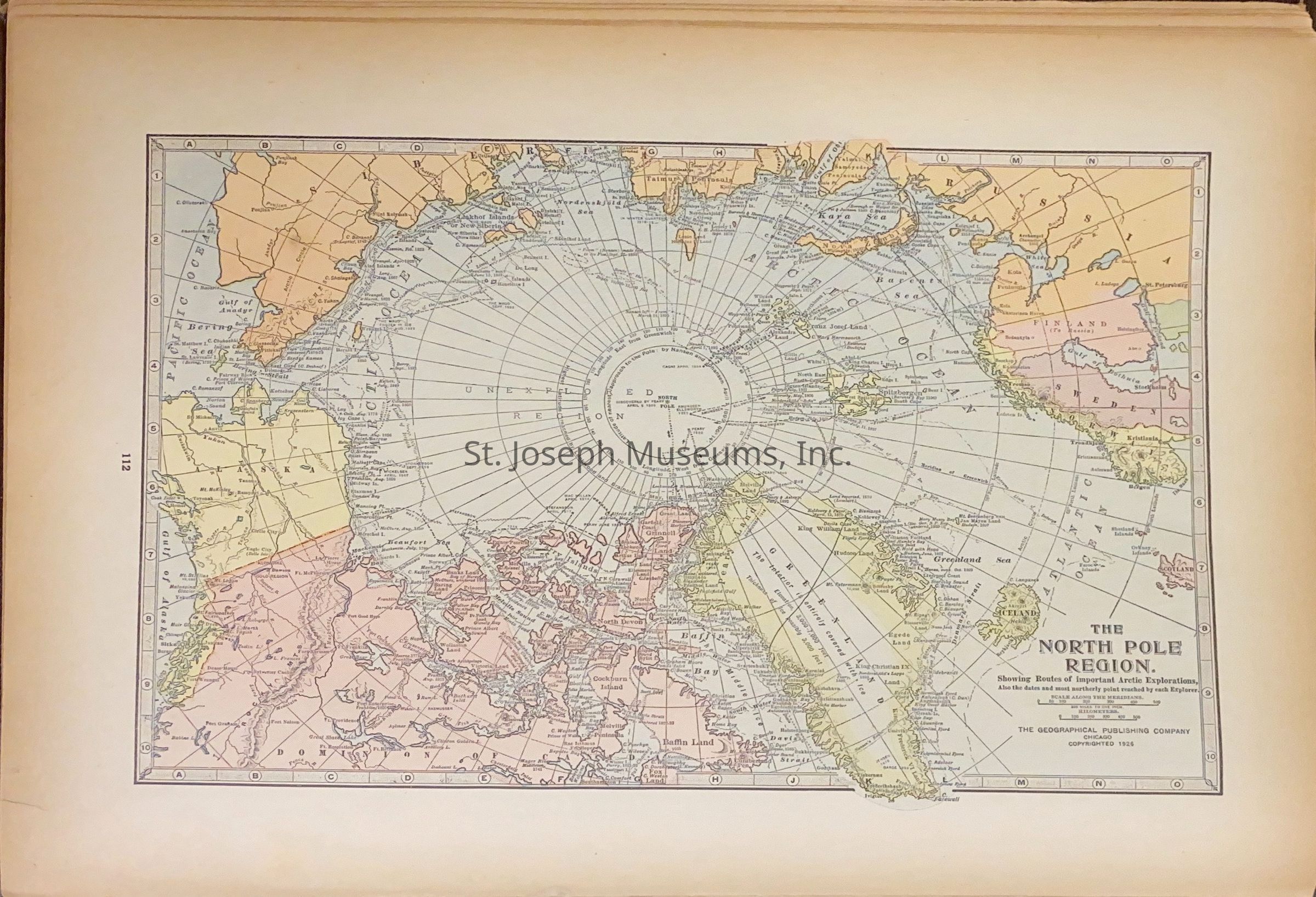
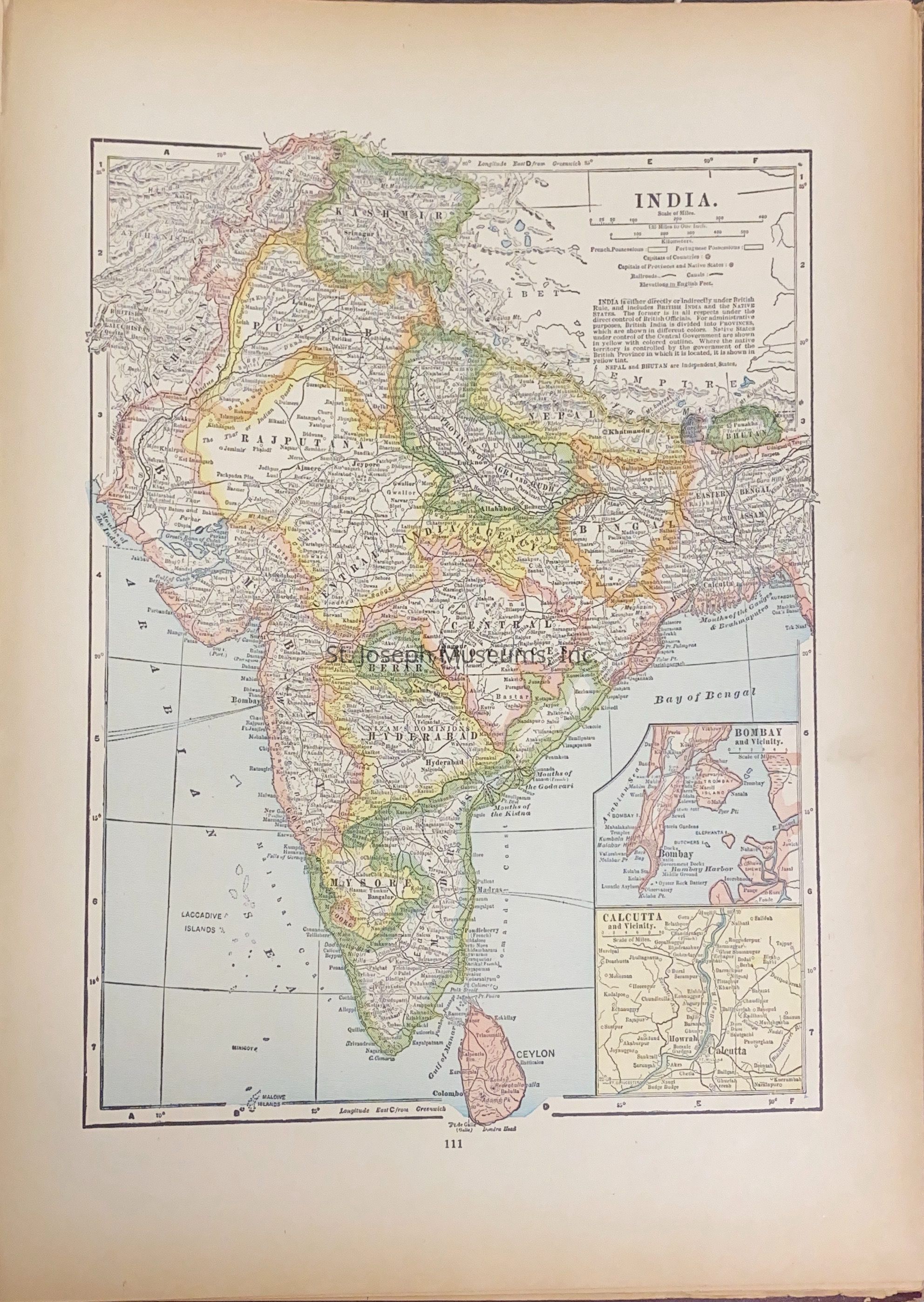
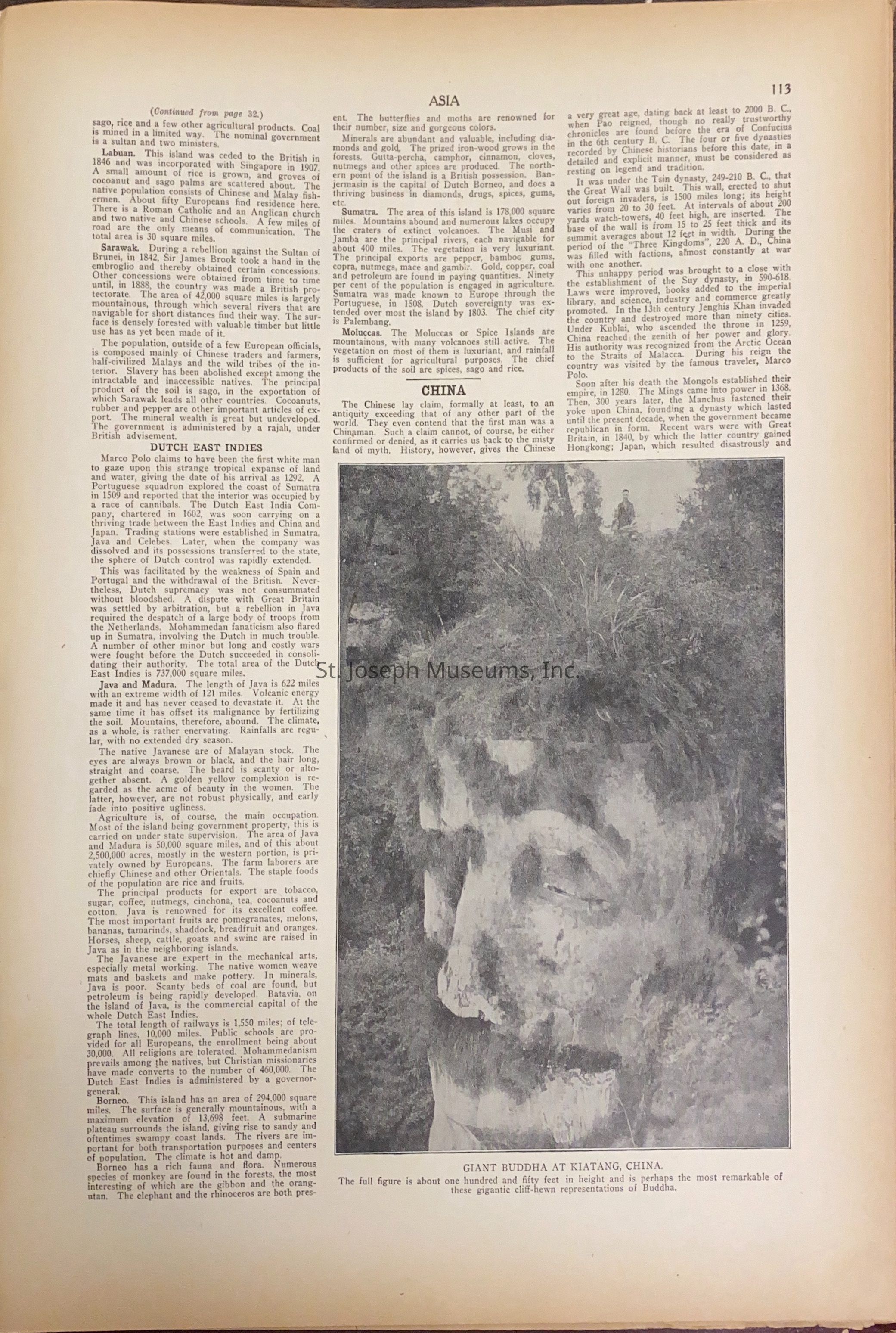
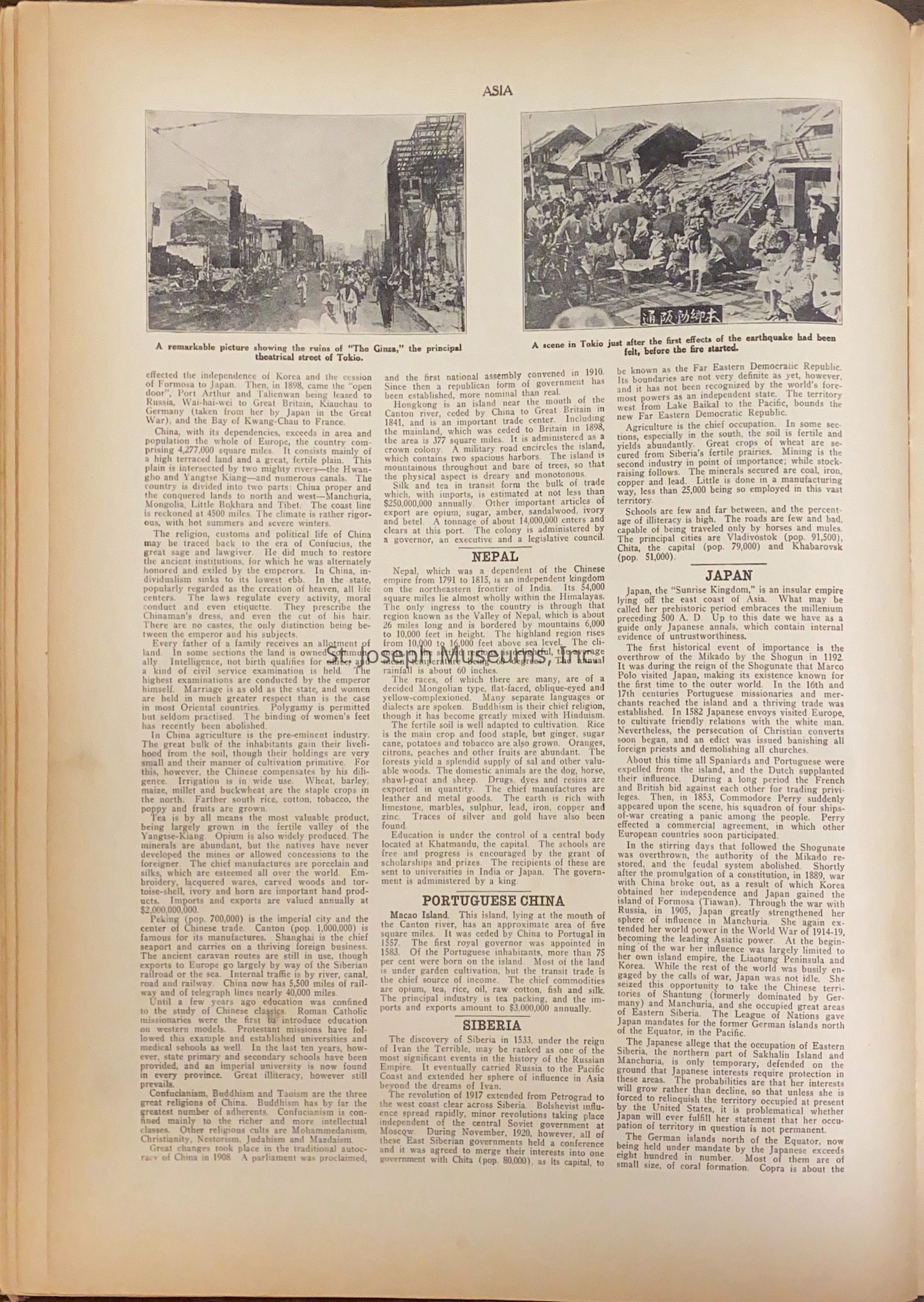
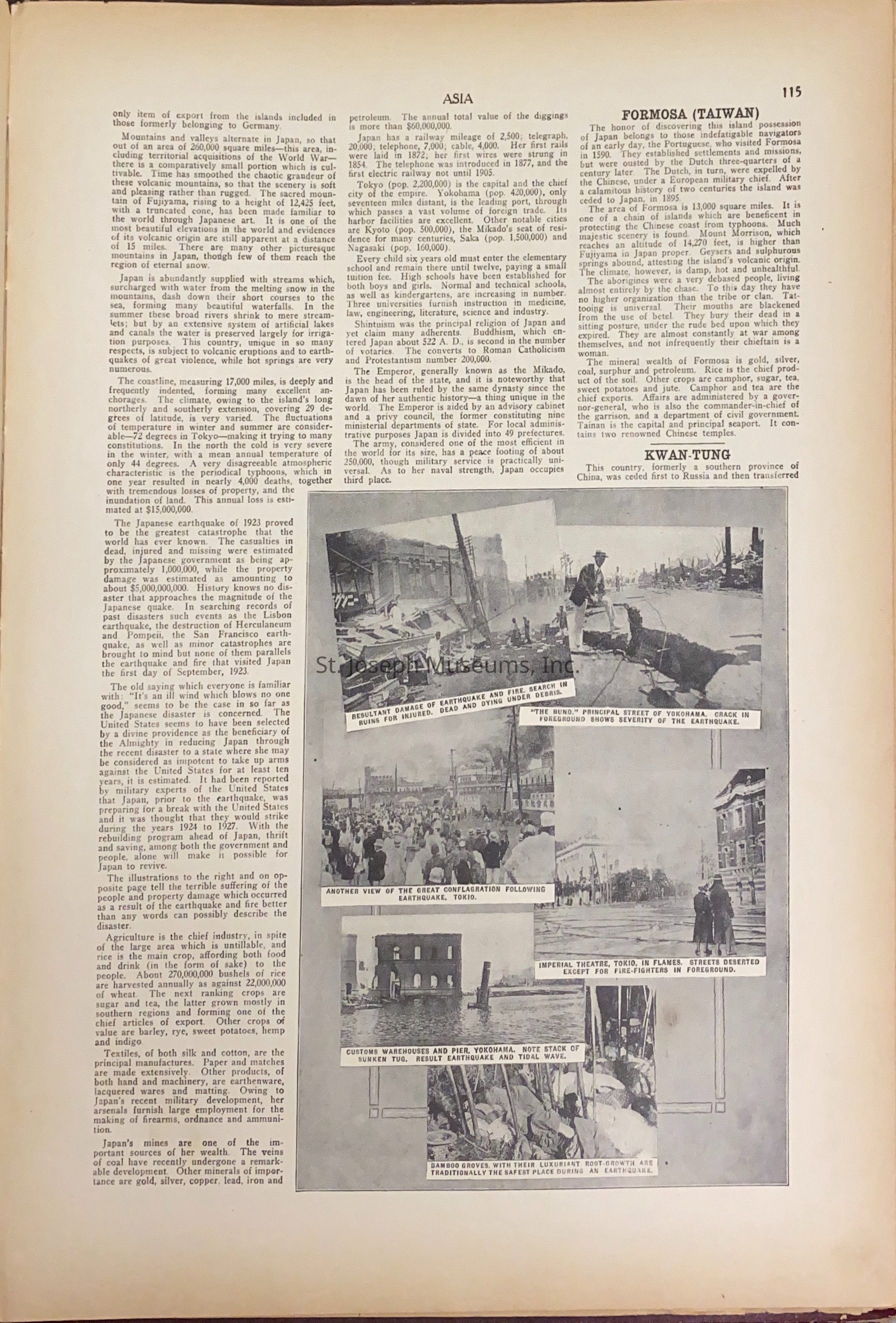
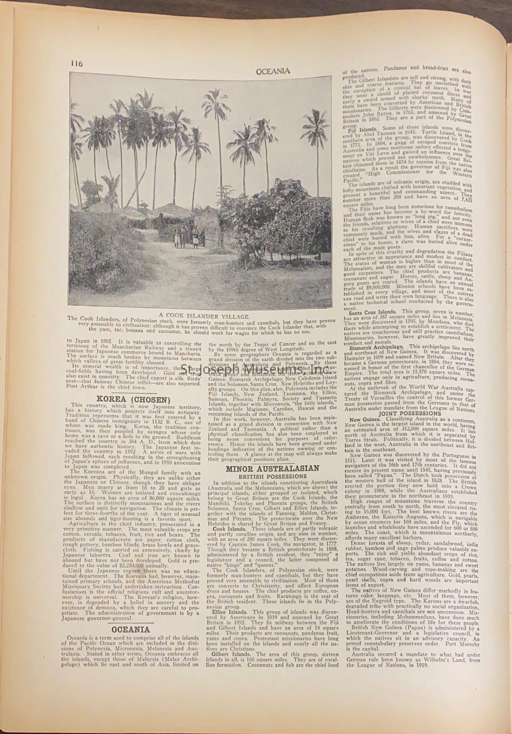
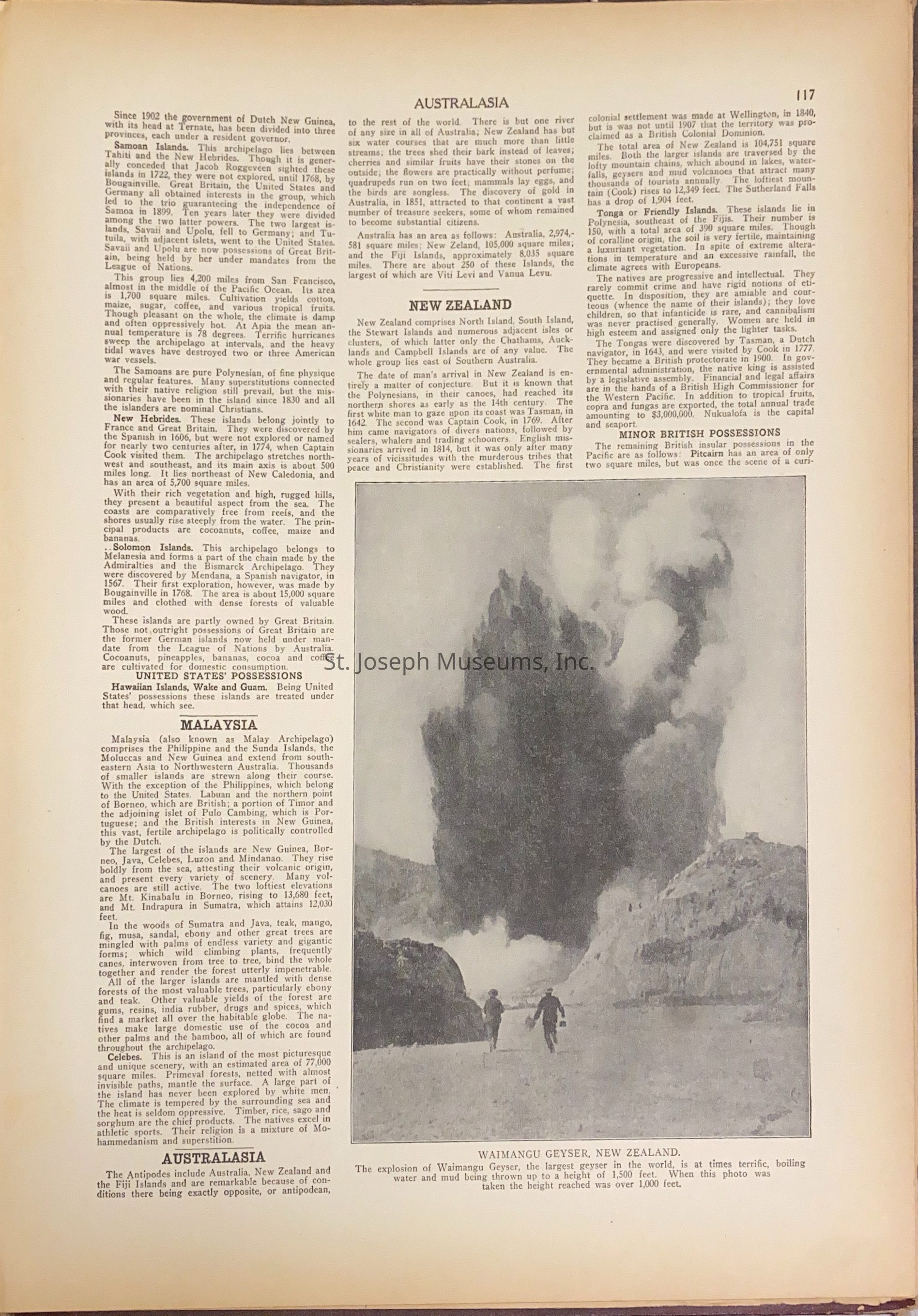
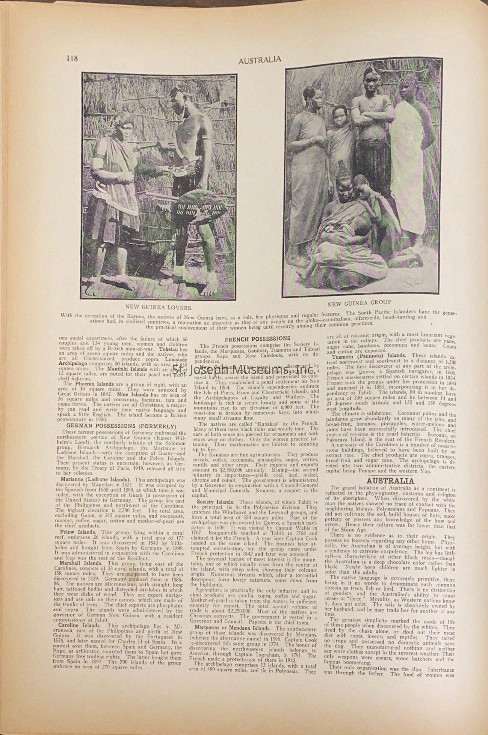
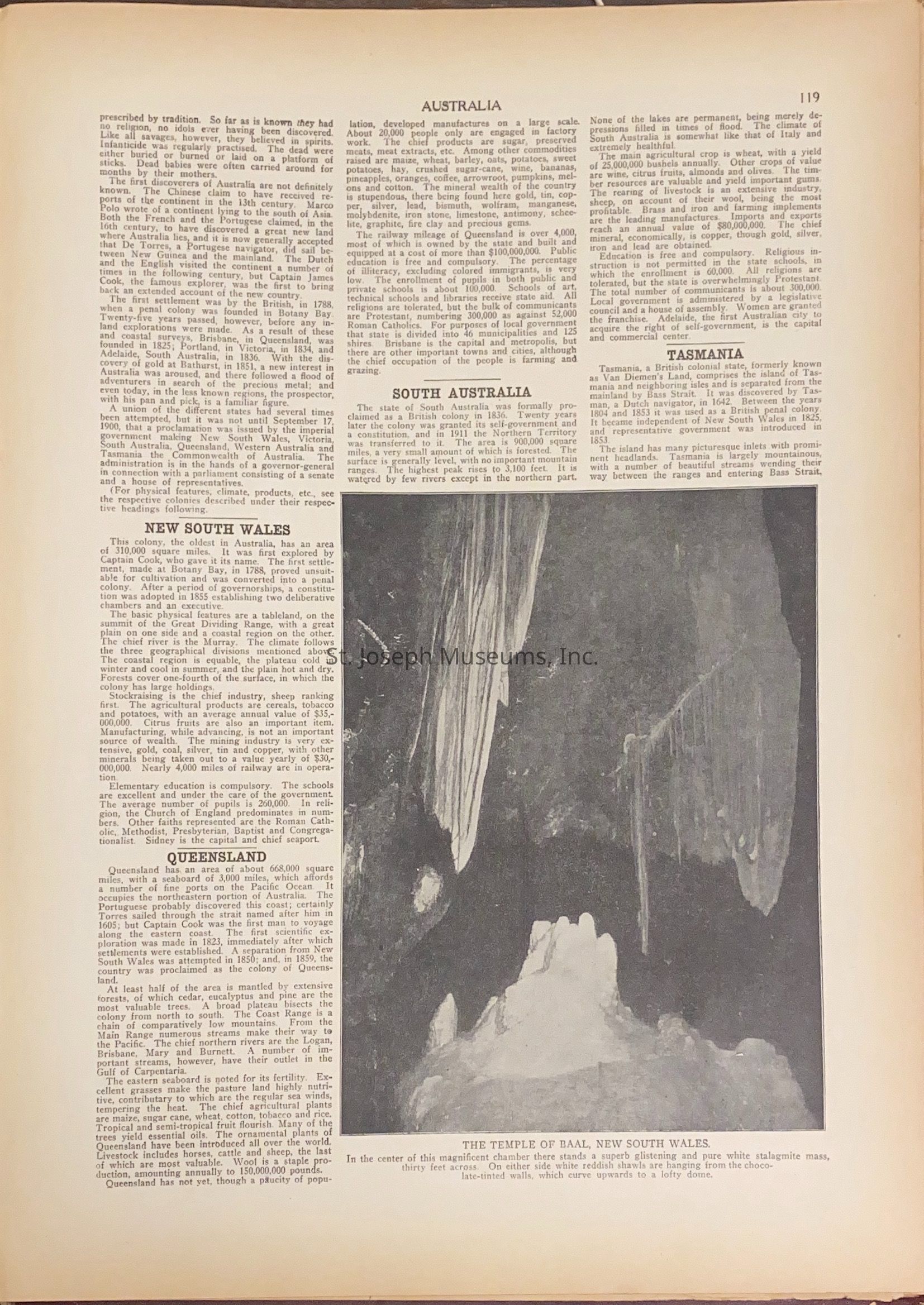
Atlas of Doniphan County, Kansas, & the World - History of the New Nations
Entry/Object ID
L1988.2.38
Description
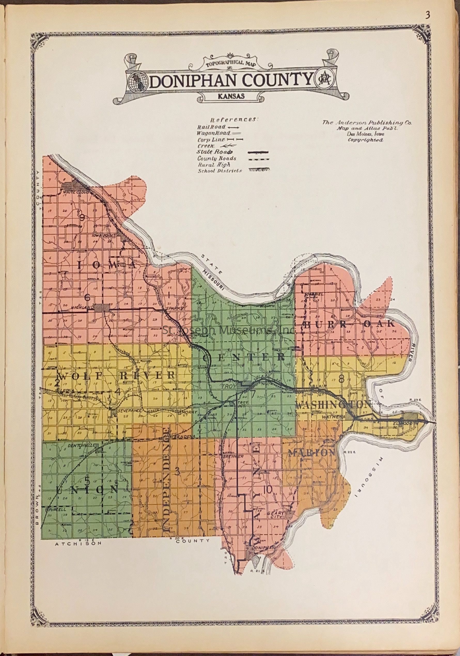
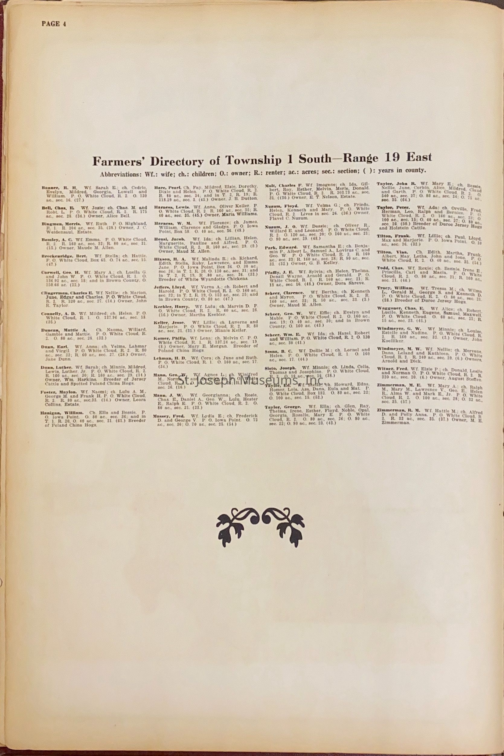
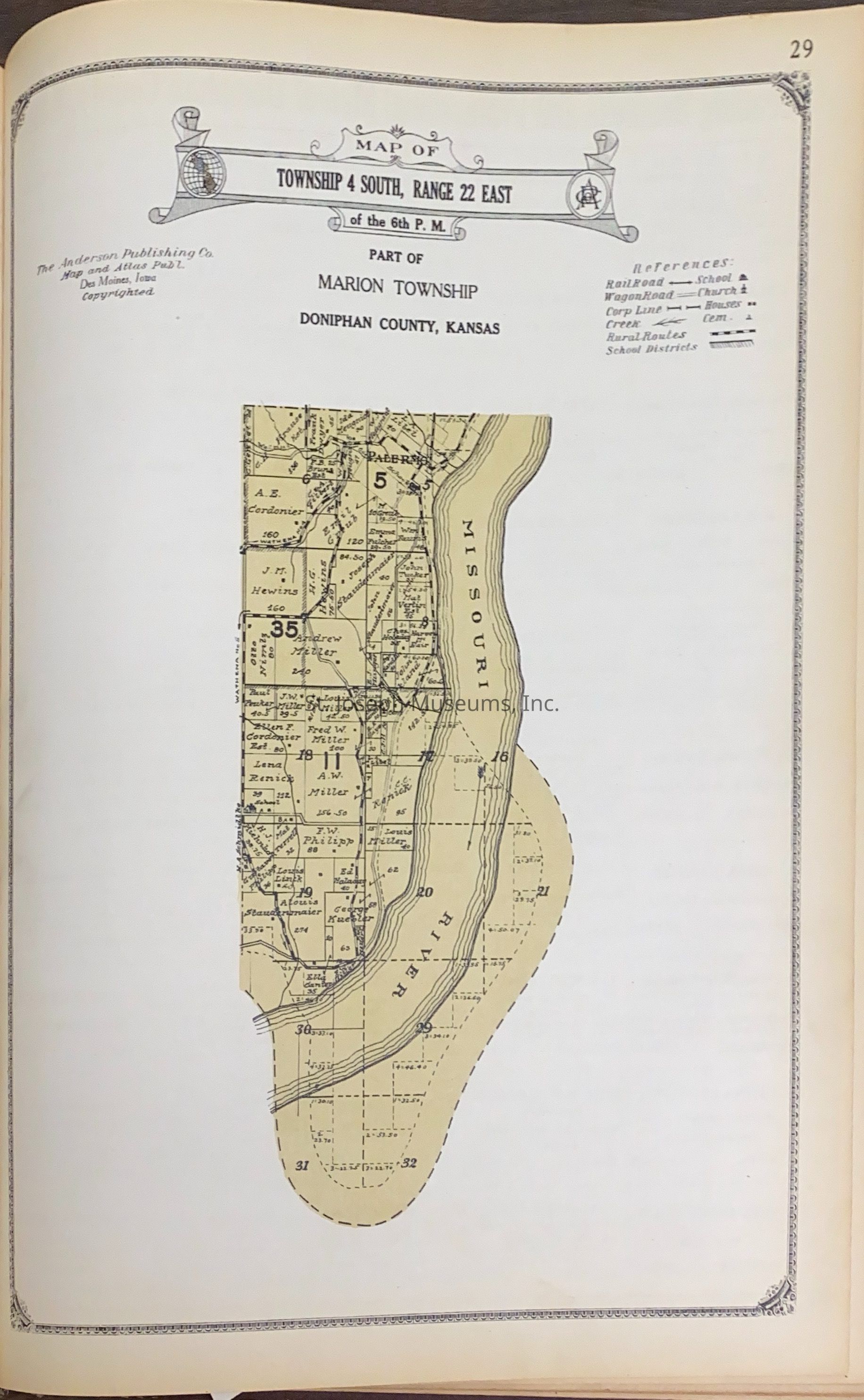
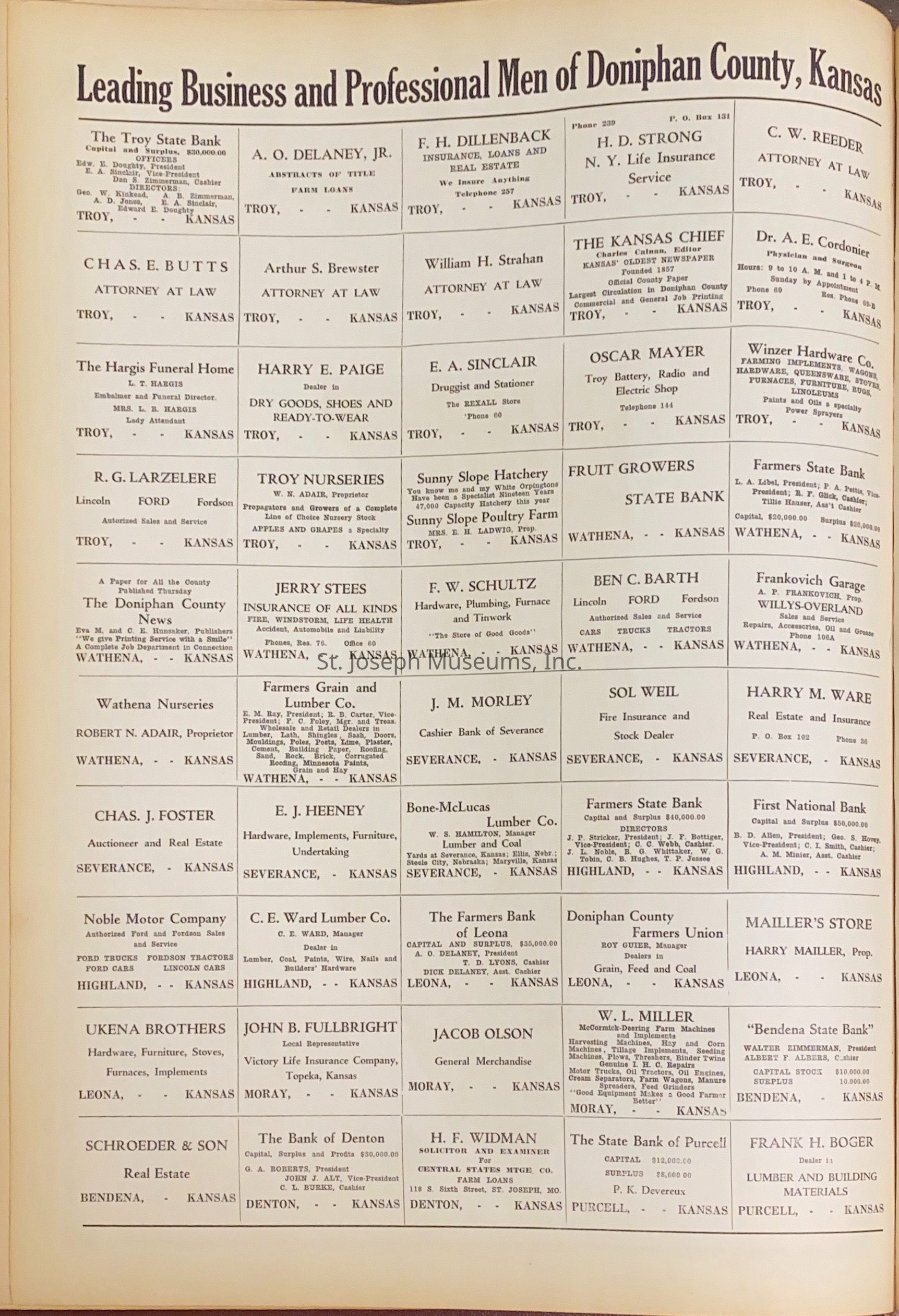
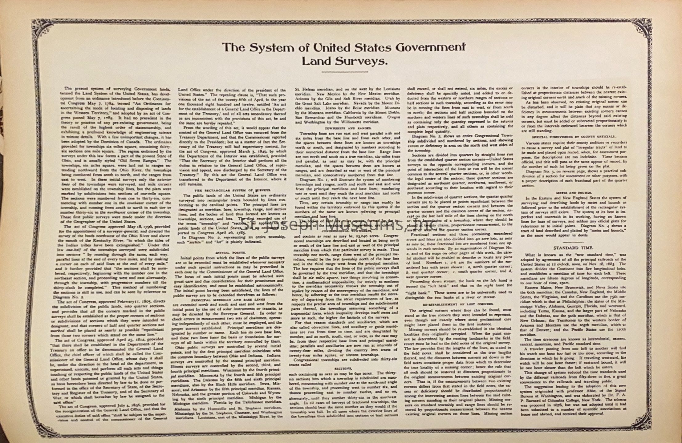
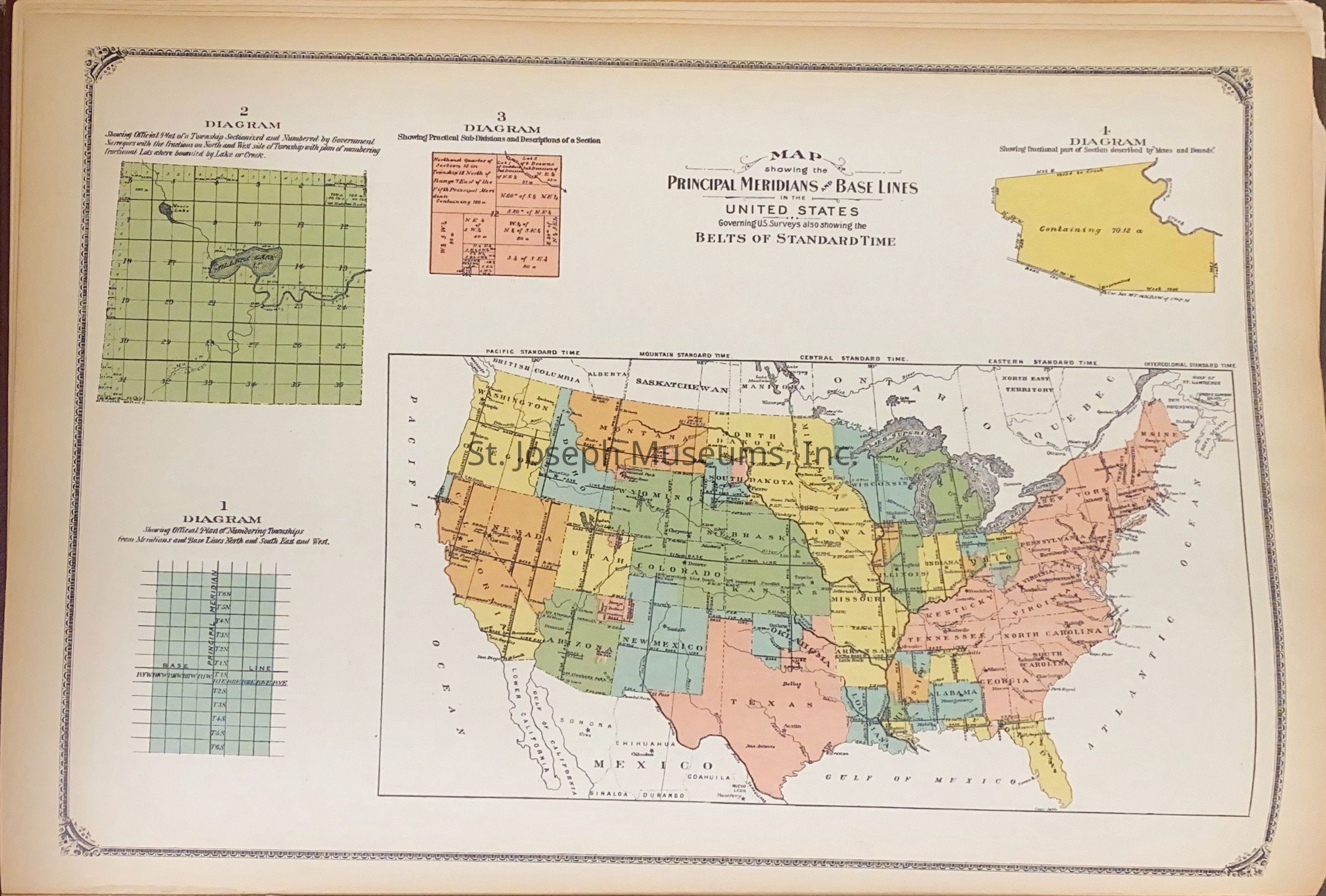
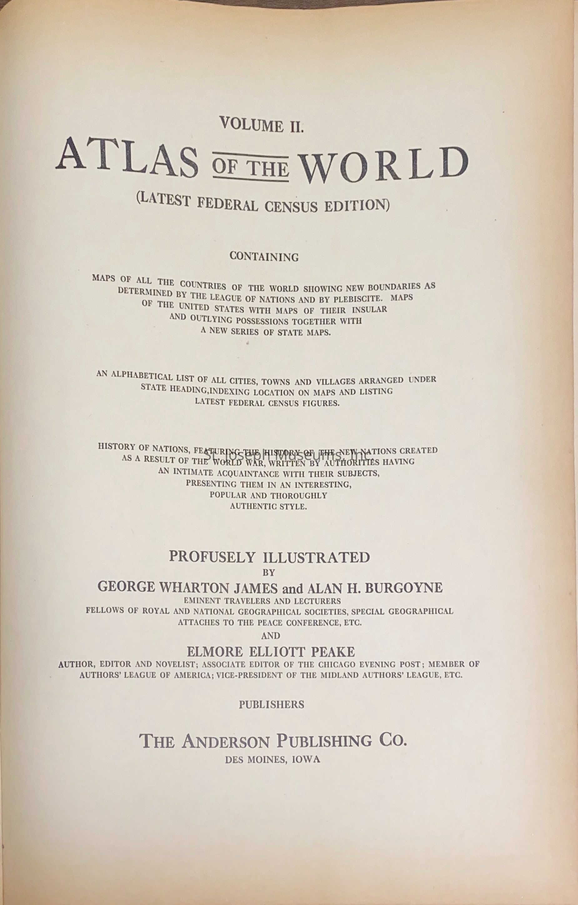
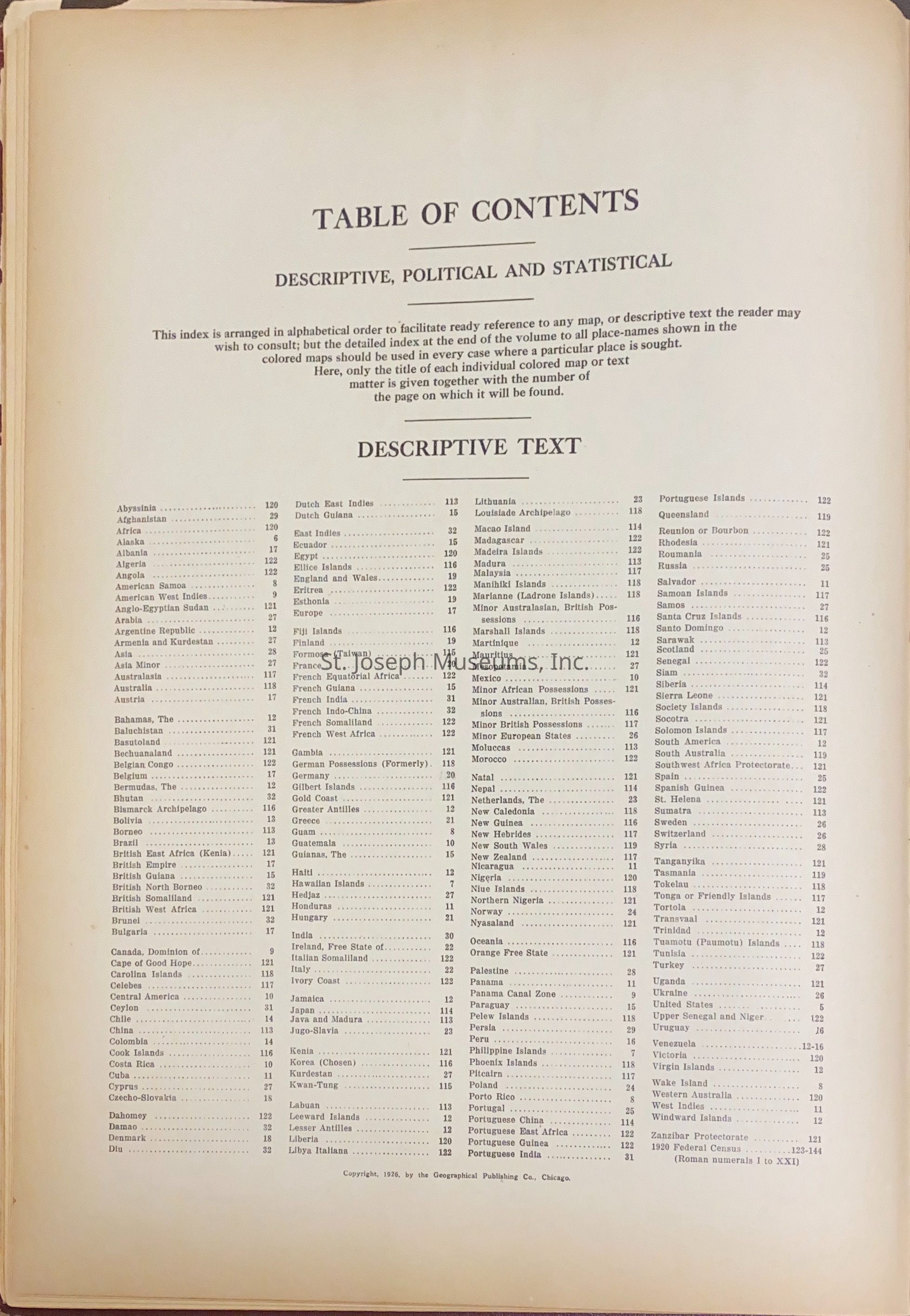
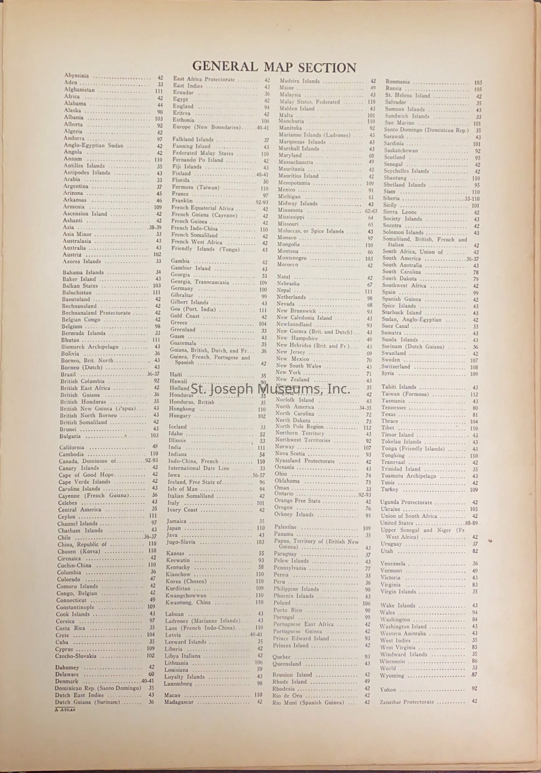
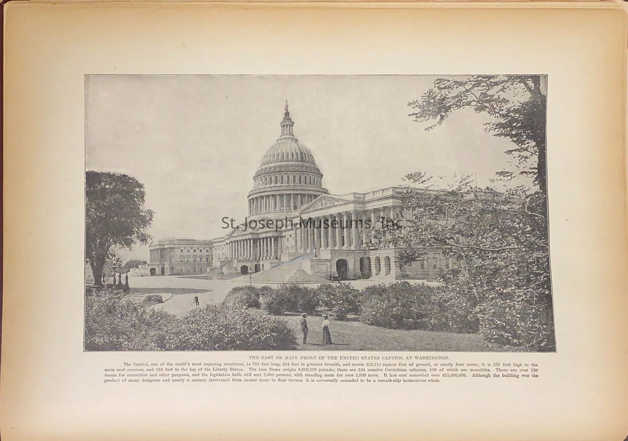
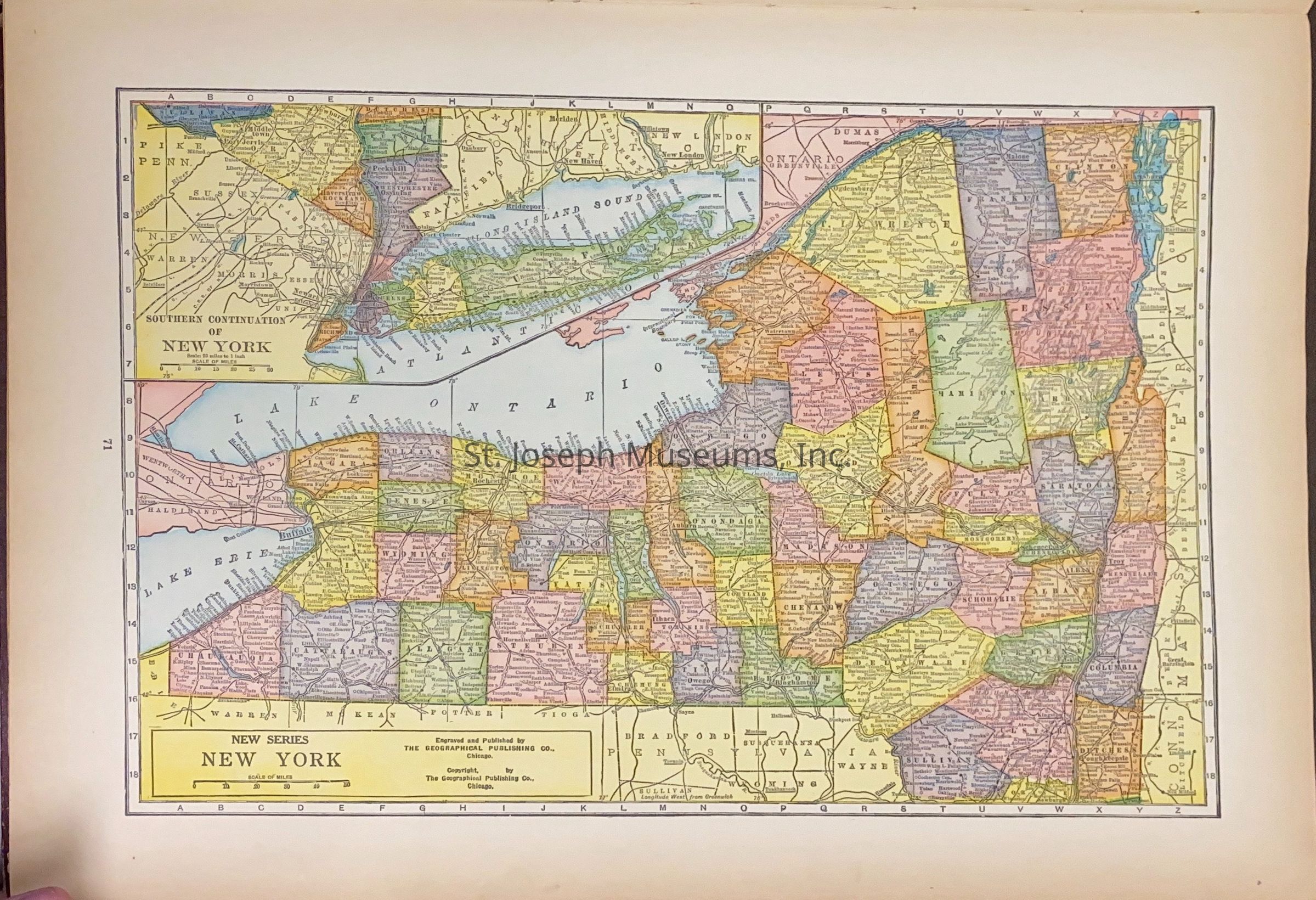
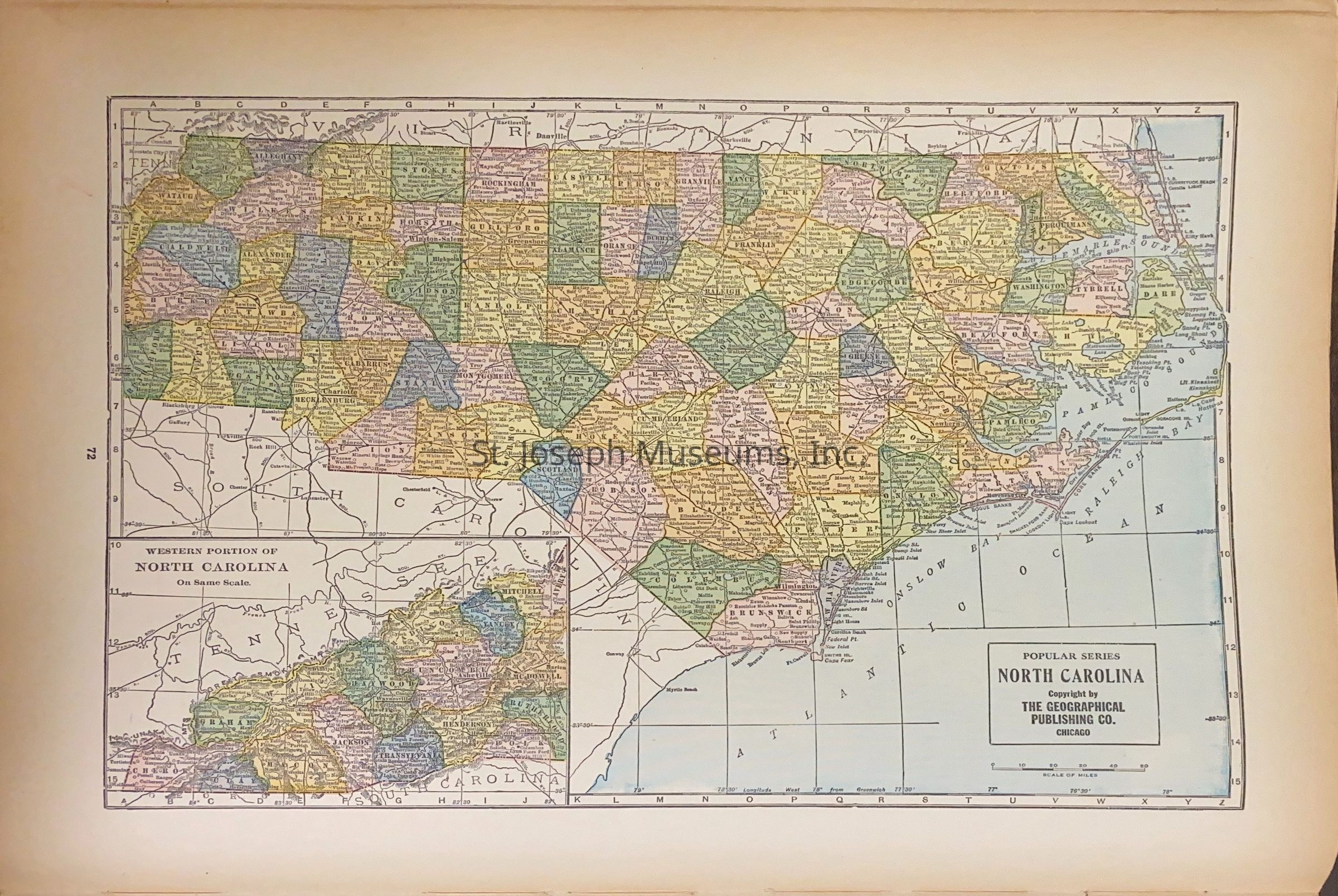
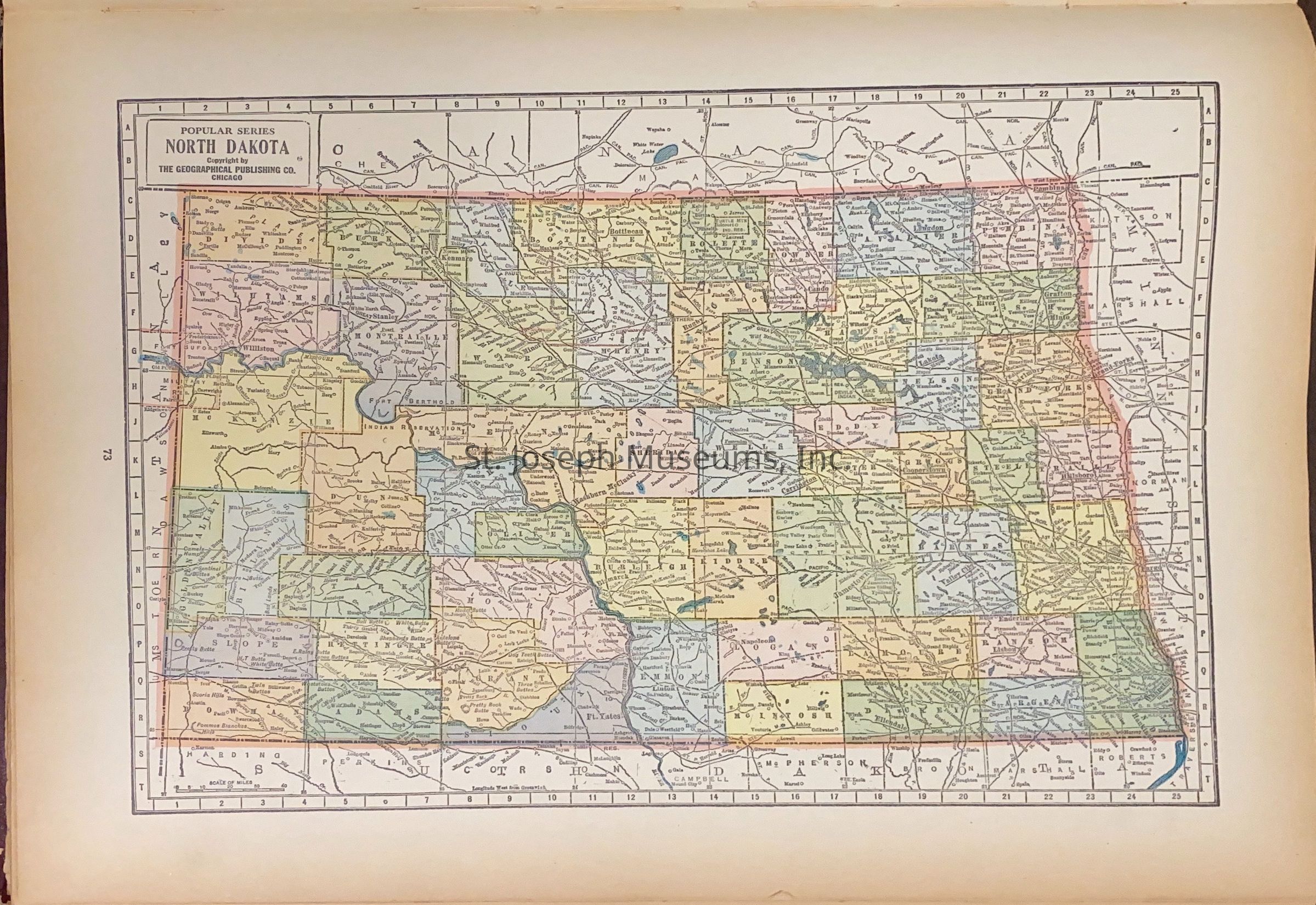
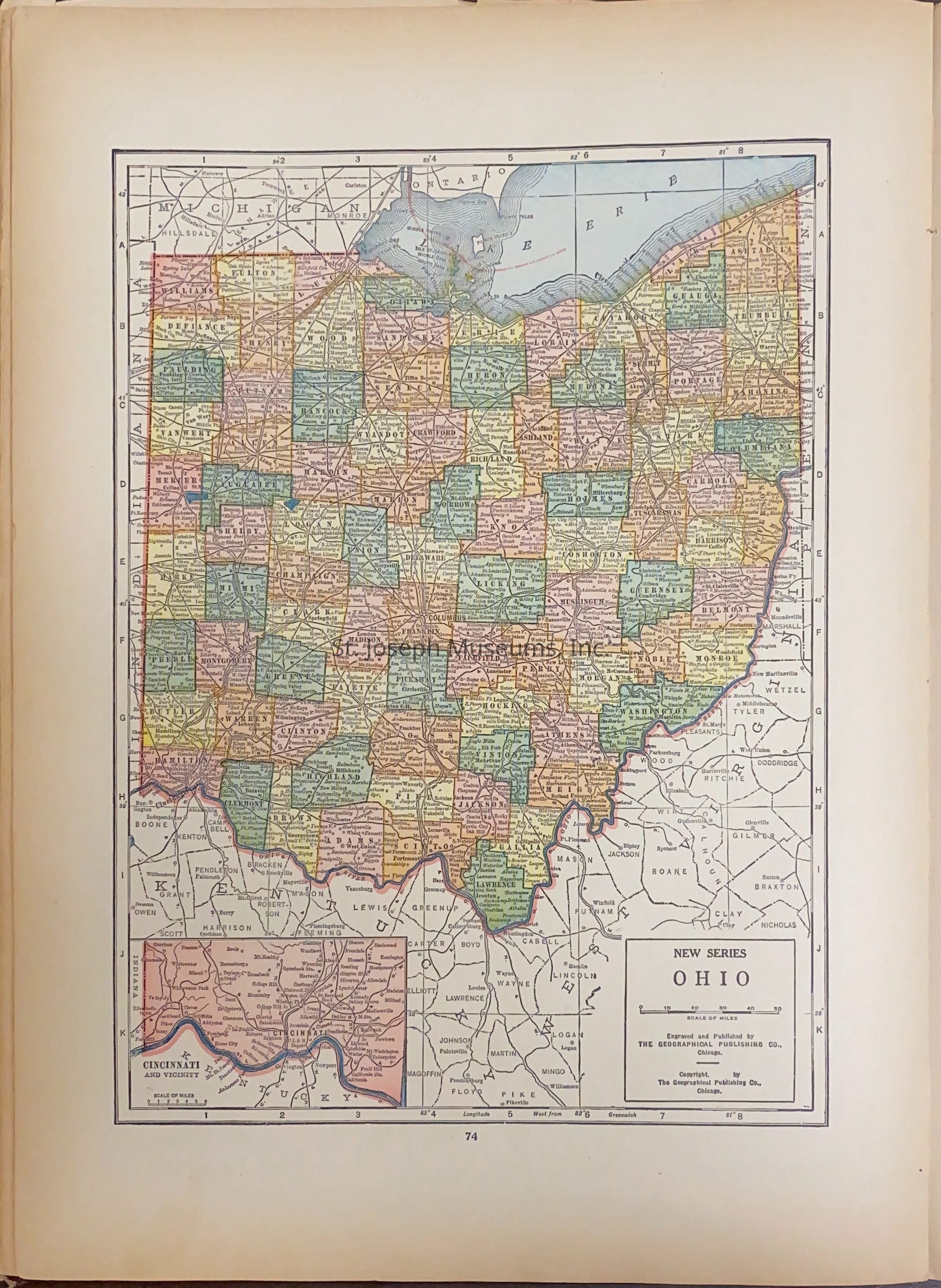
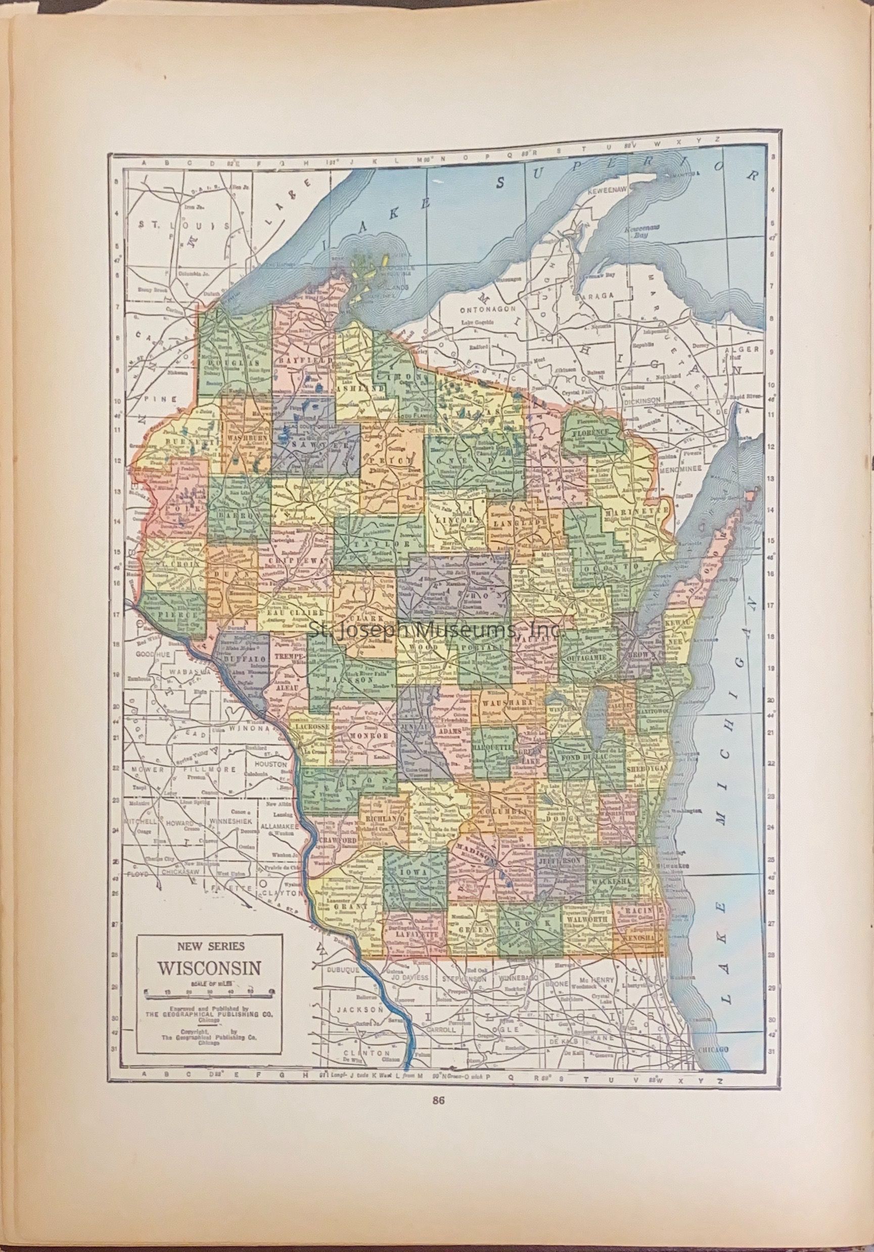
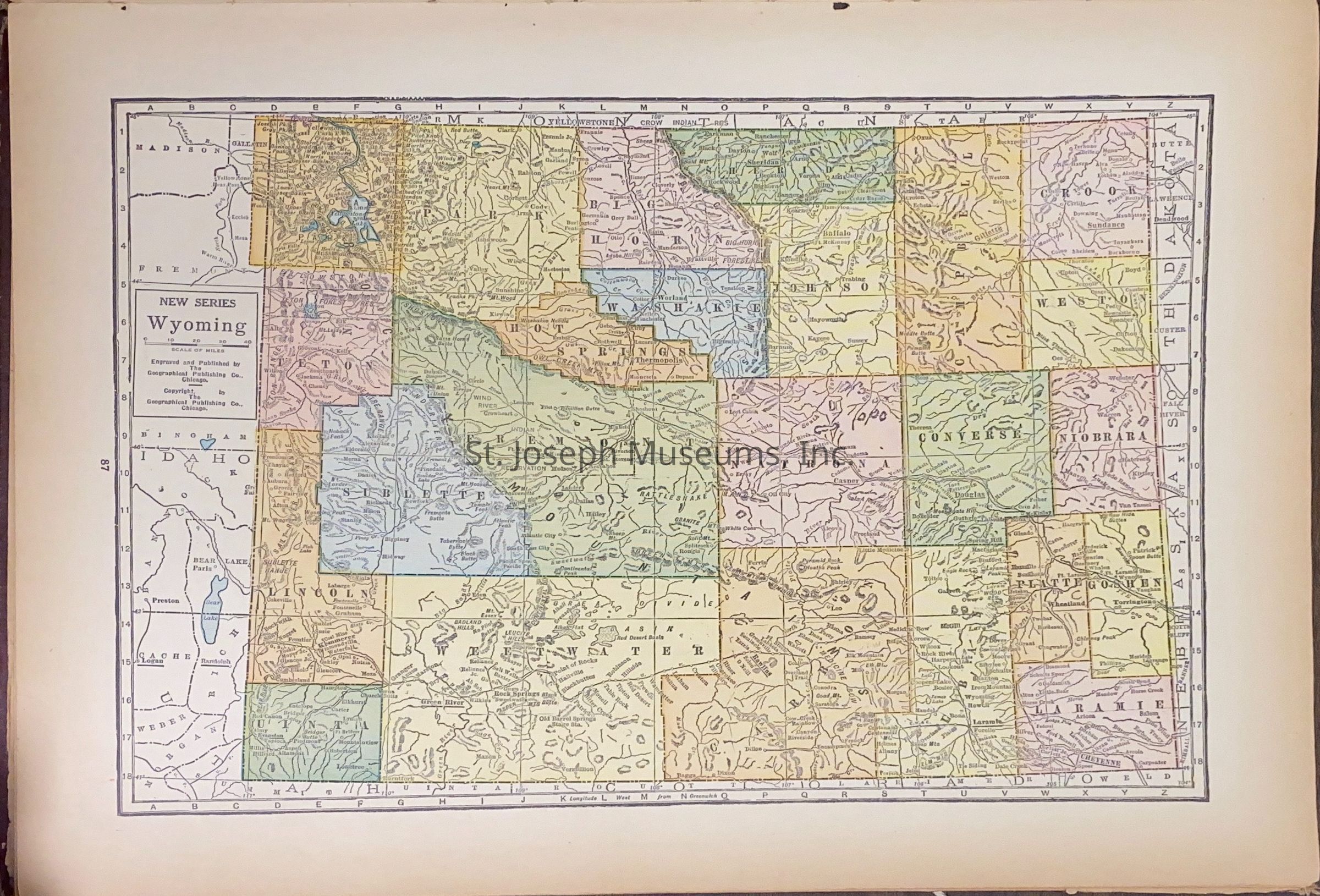
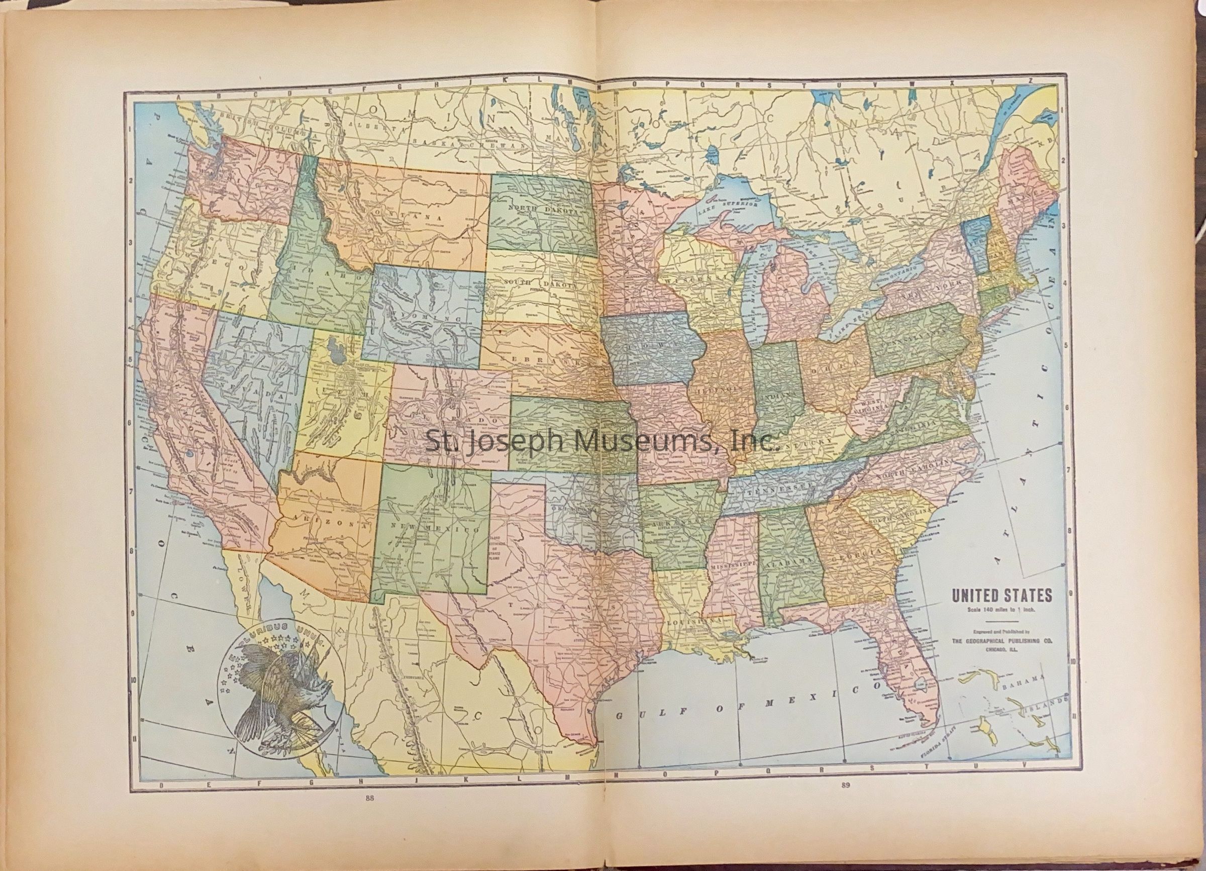
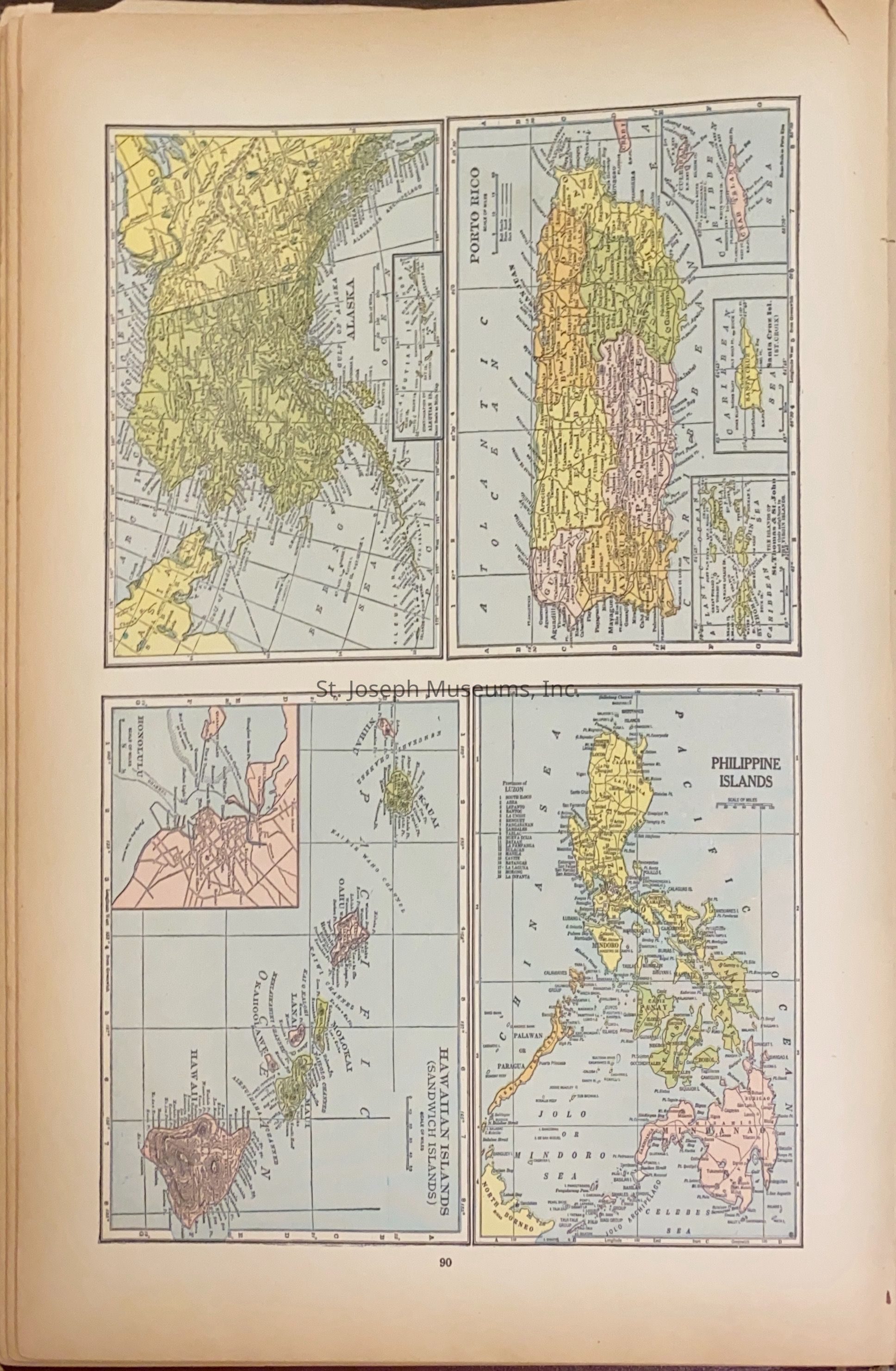
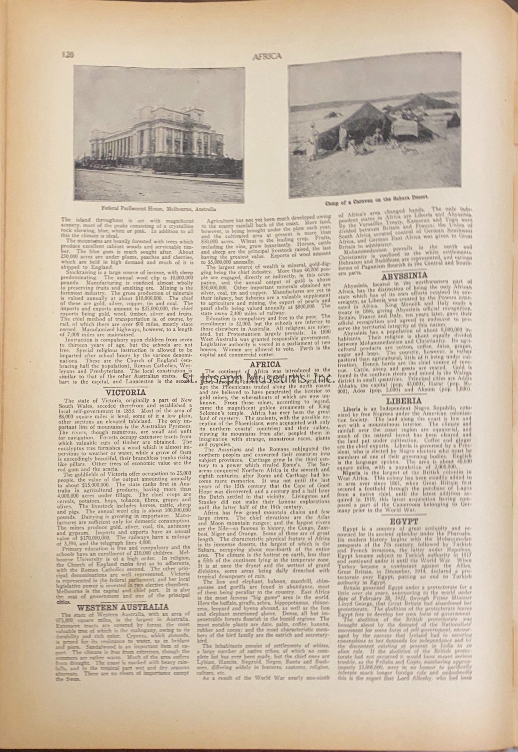
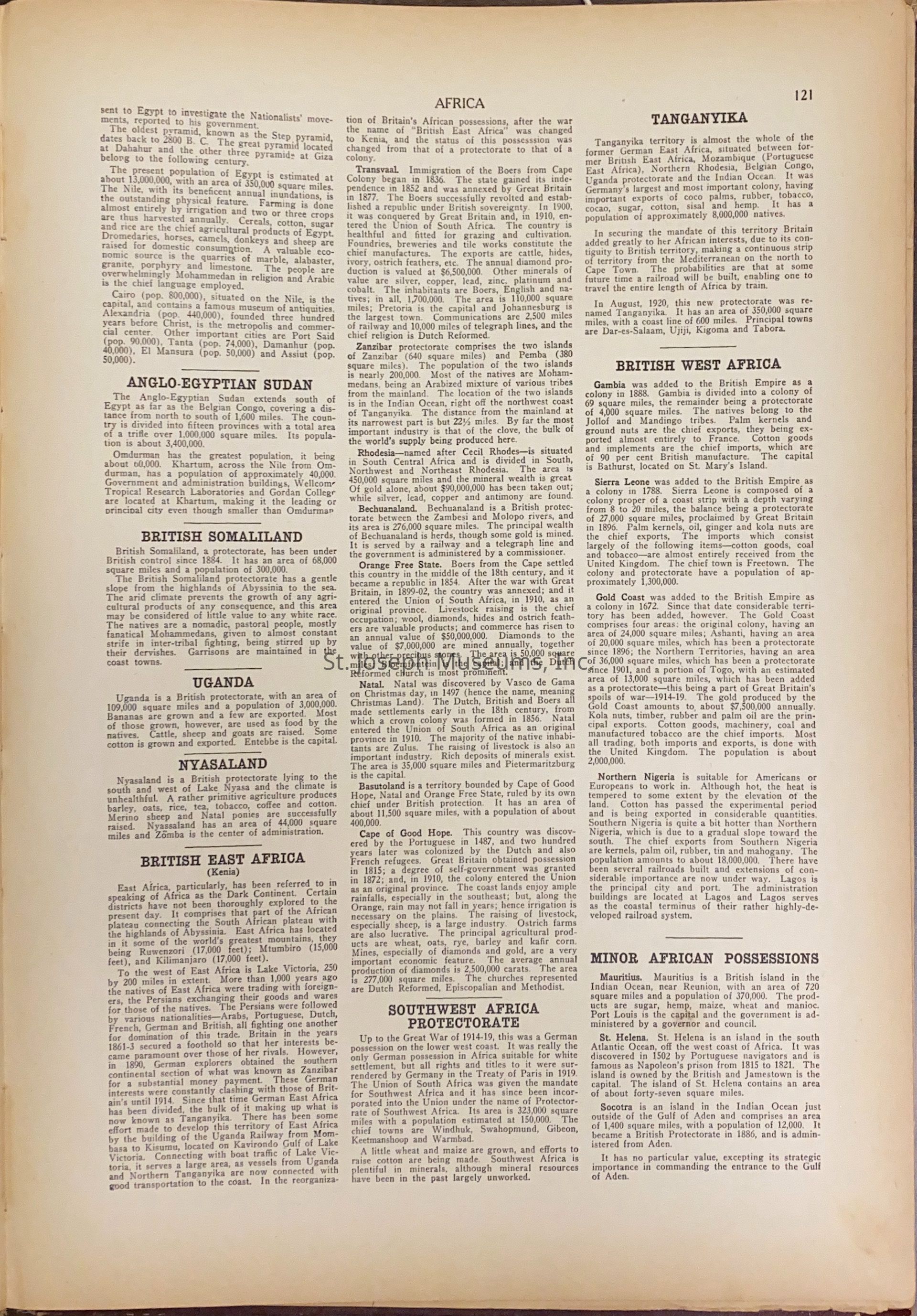
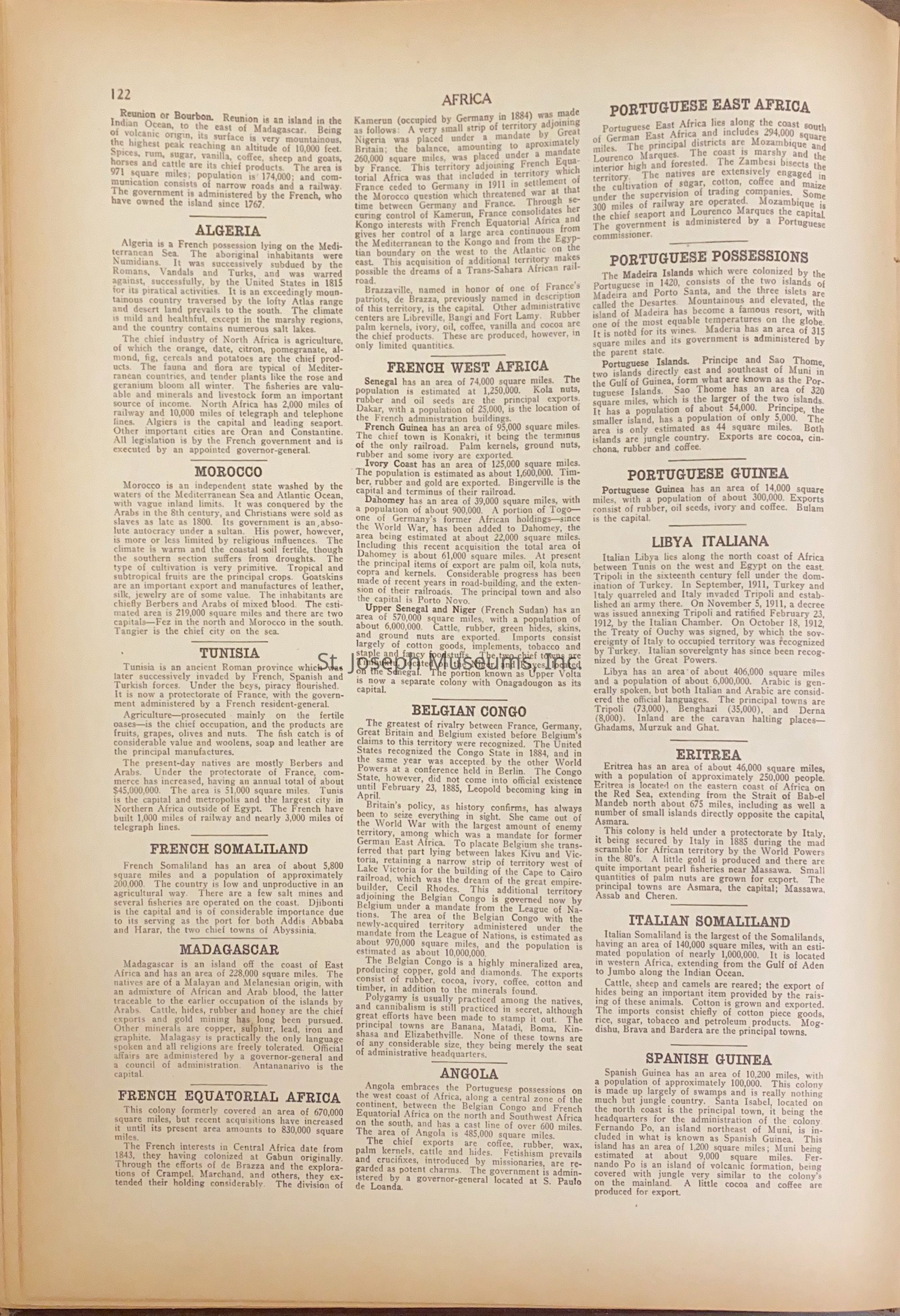
Atlas of Doniphan county, Kansas & the World contains maps of each state within the United States; Table of Contents - Descriptive, Political & Statistical"; Maps of Countries through out the world; latest Federal Census. Doniphan County atlas.
Worksheet 12833
142/Hardbound/Illustrations/Maps/Photos.
Lexicon
Nomenclature 4.0
Nomenclature Secondary Object Term
Atlas
Nomenclature Primary Object Term
Cartograph
Nomenclature Sub-Class
Graphic Documents
Nomenclature Class
Documentary Objects
Nomenclature Category
Category 08: Communication Objects
LOC Thesaurus for Graphic Materials
Maps
Search Terms
Census - United States, Doniphan County, Kansas - atlas, Atlas of United States and world in1927., Doniphan County