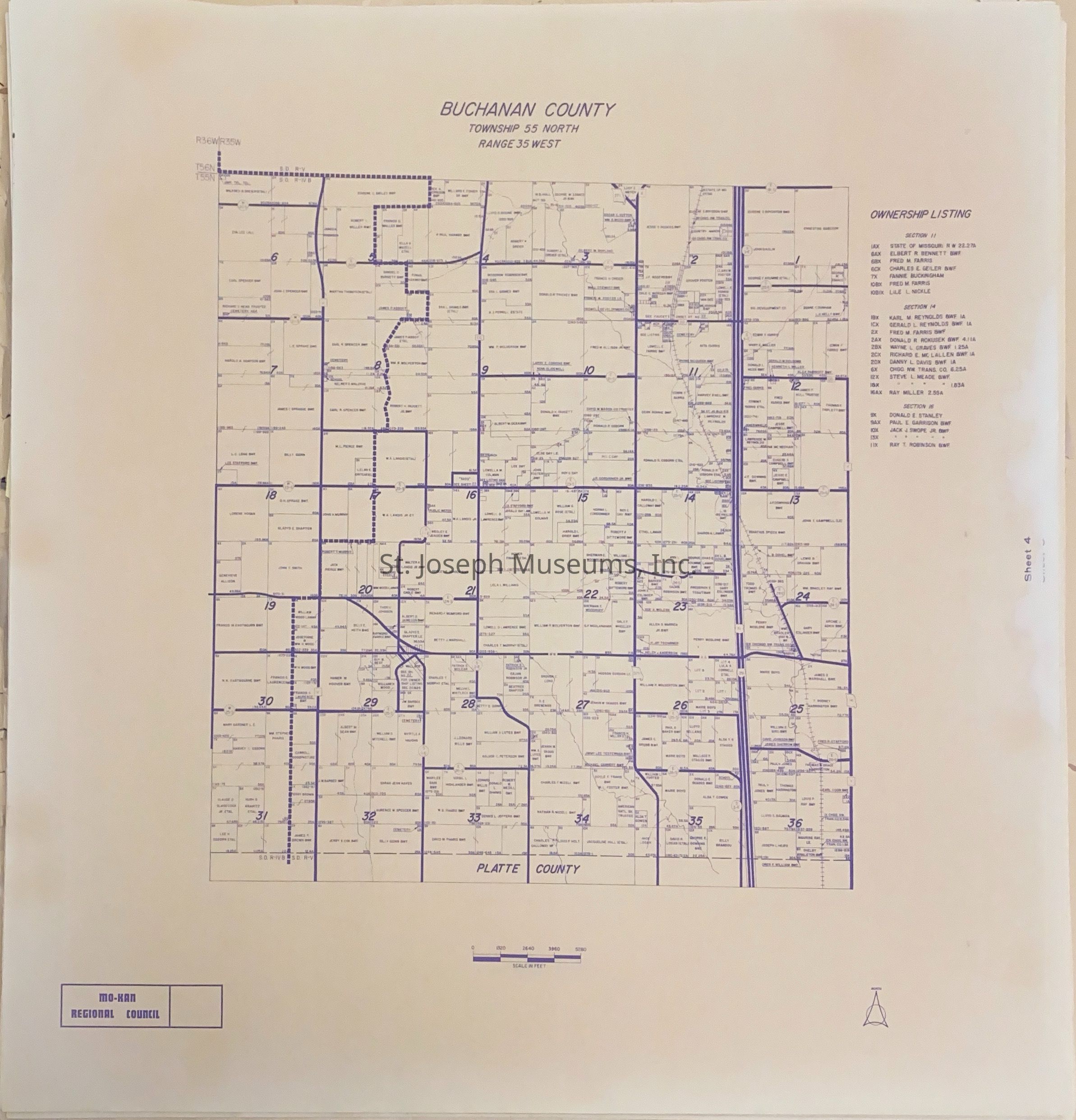
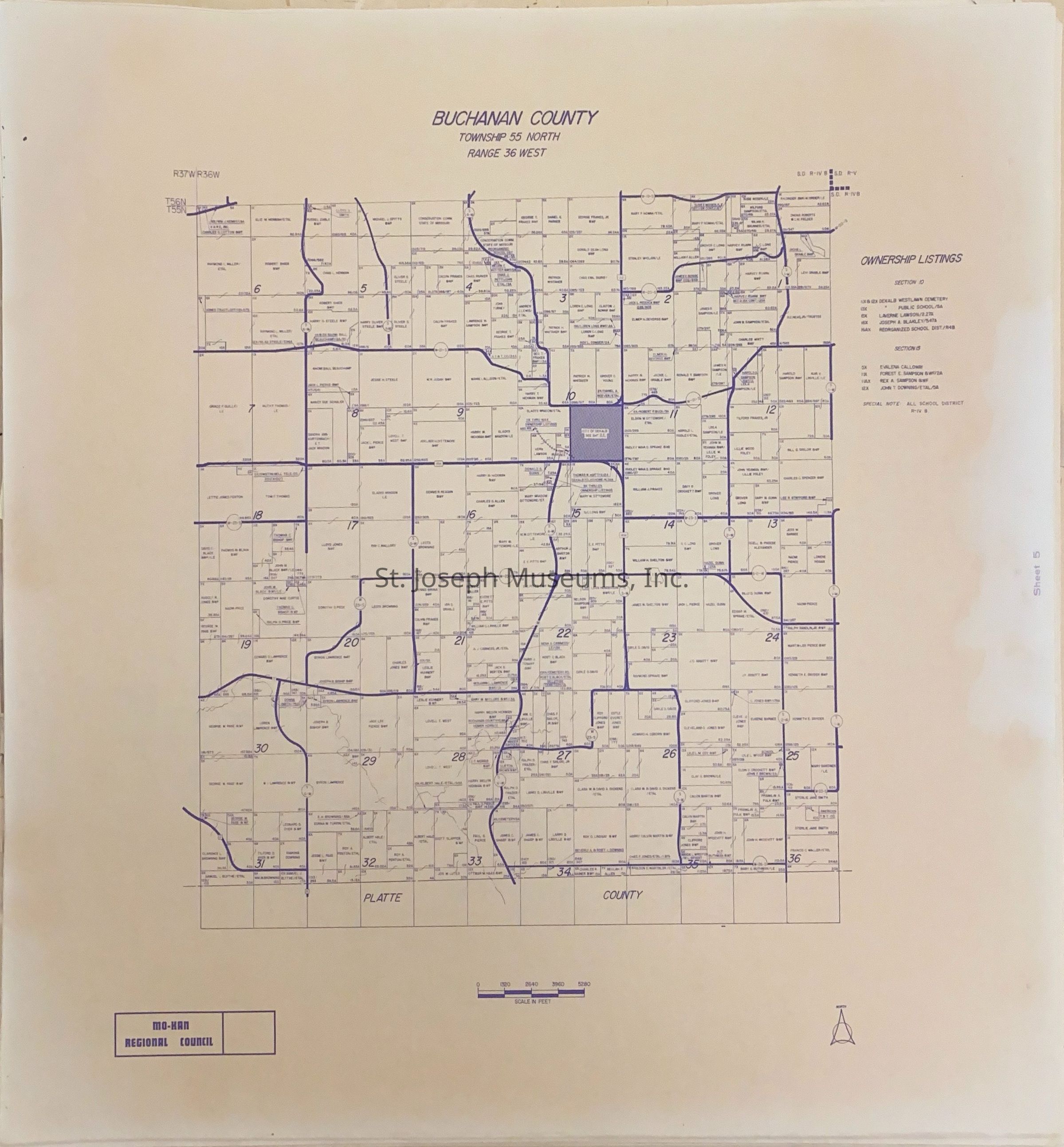
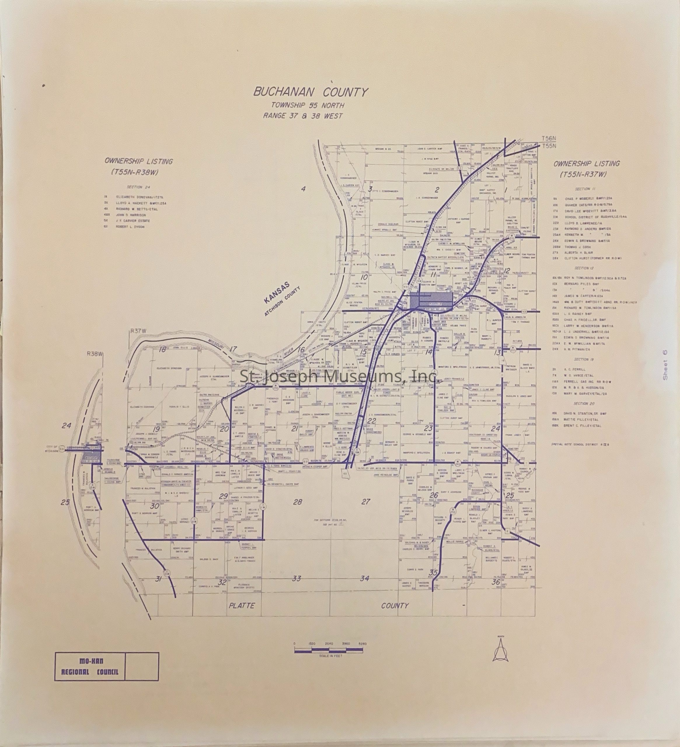
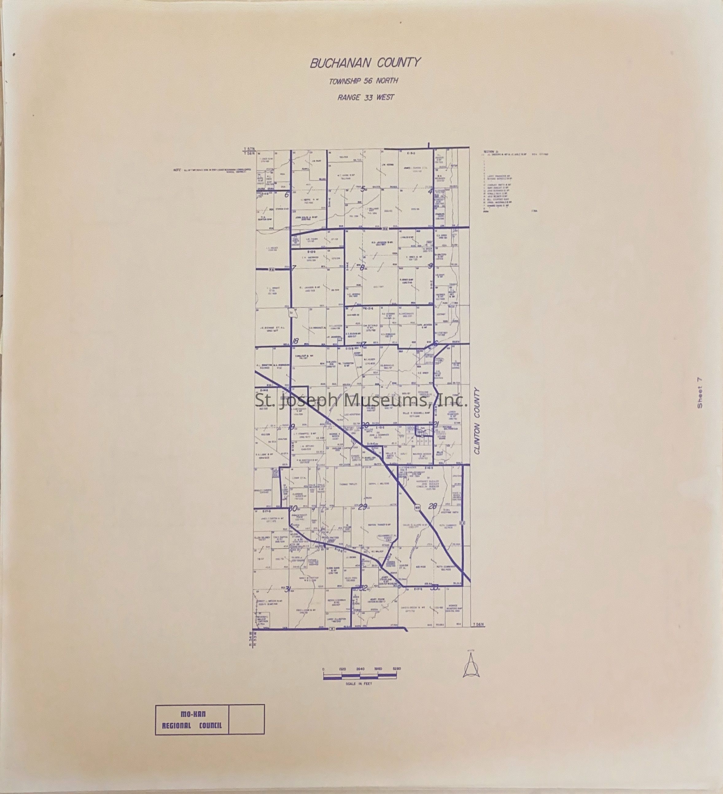
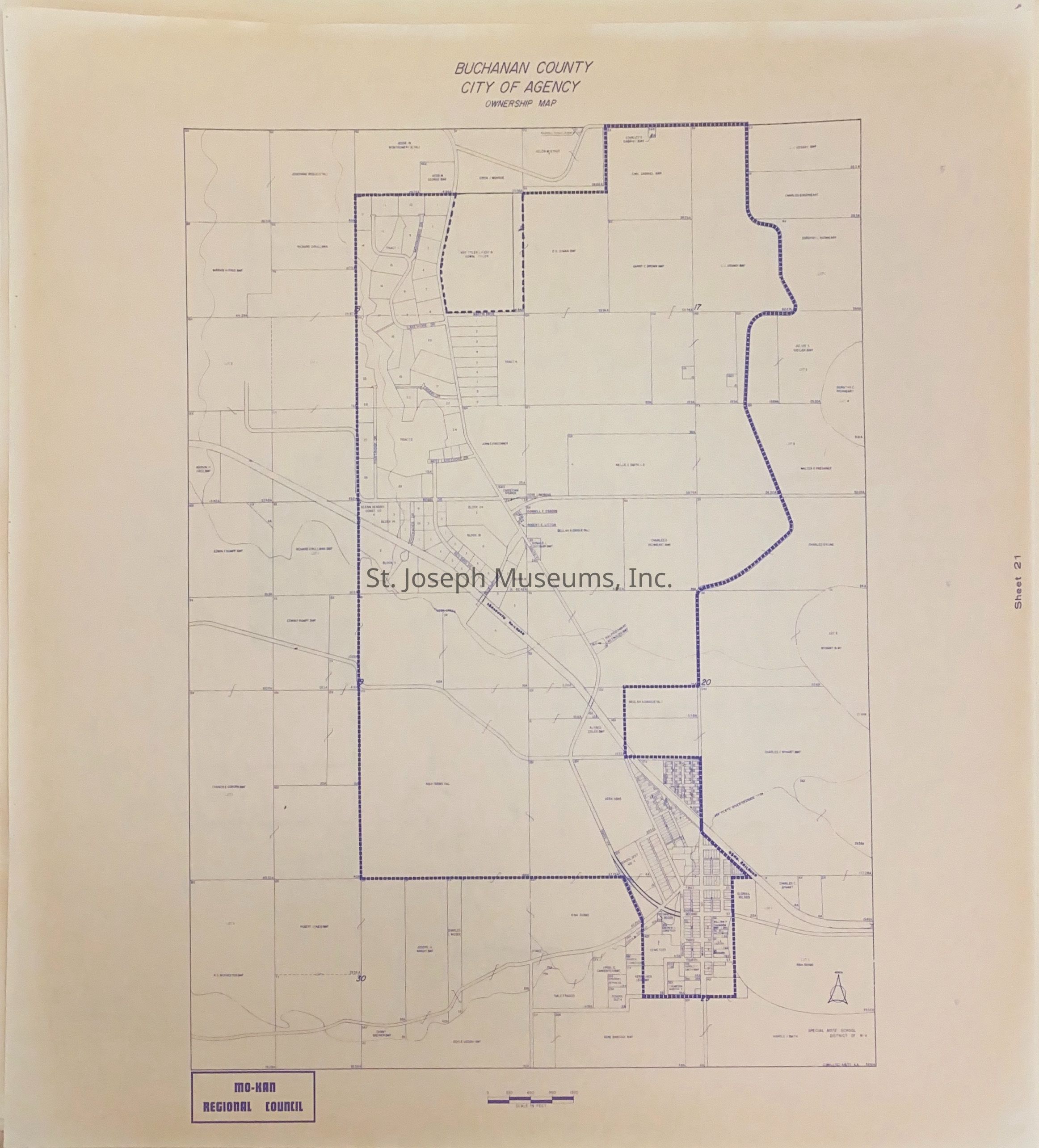
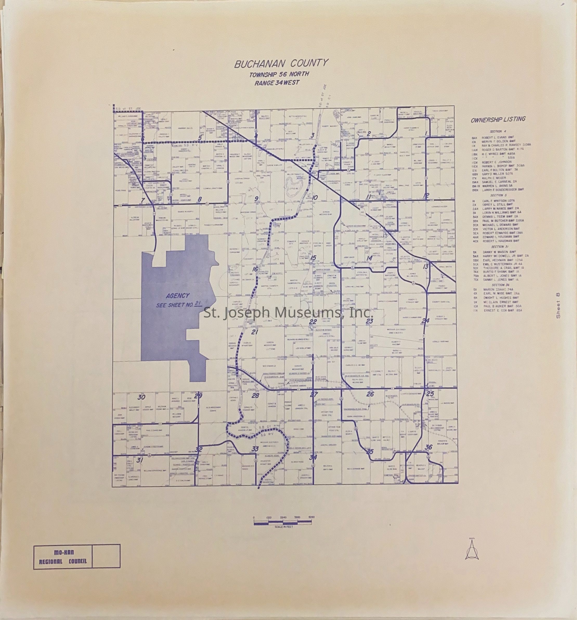
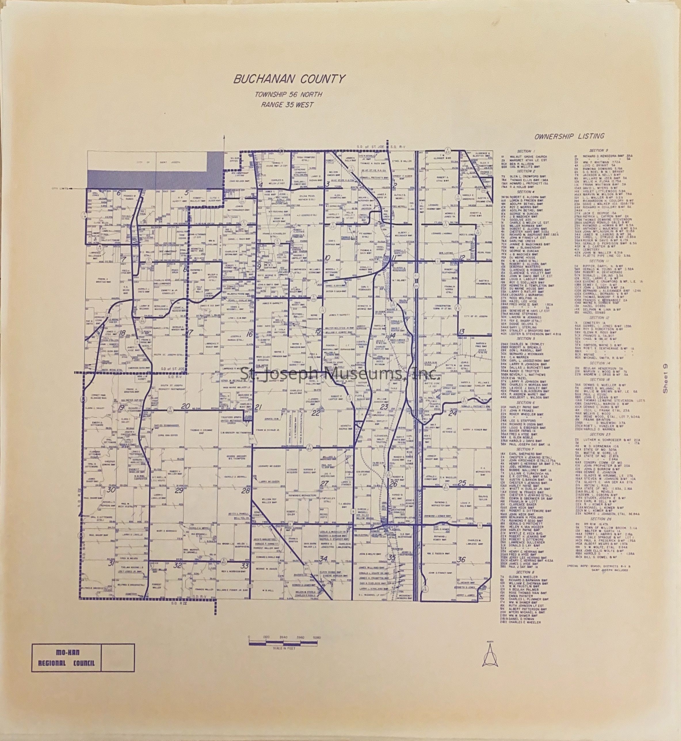
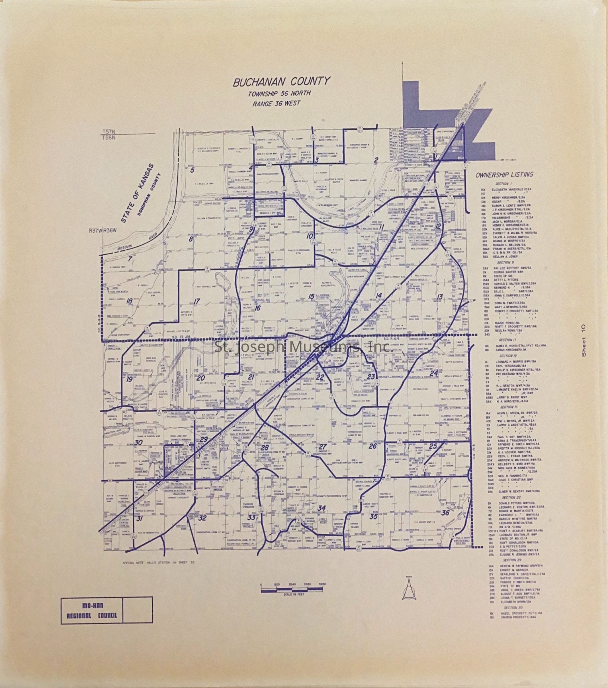
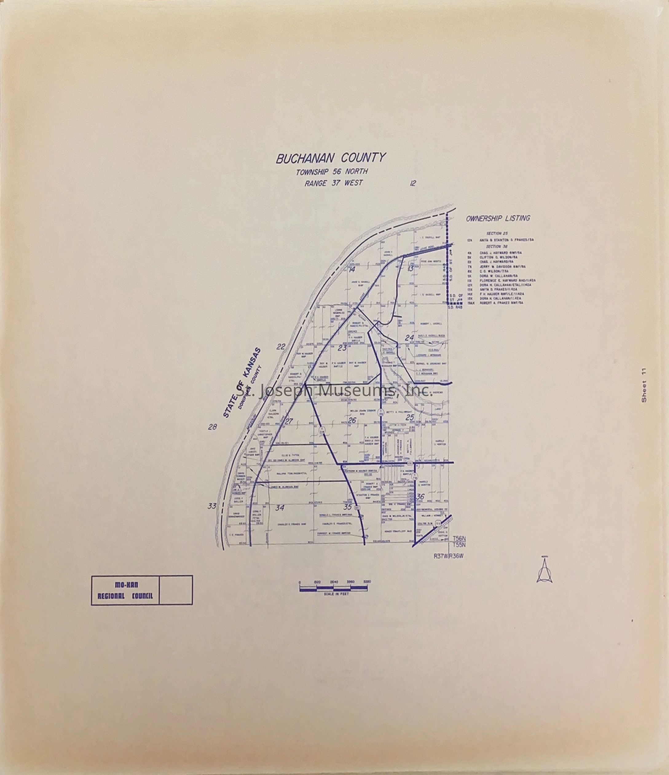
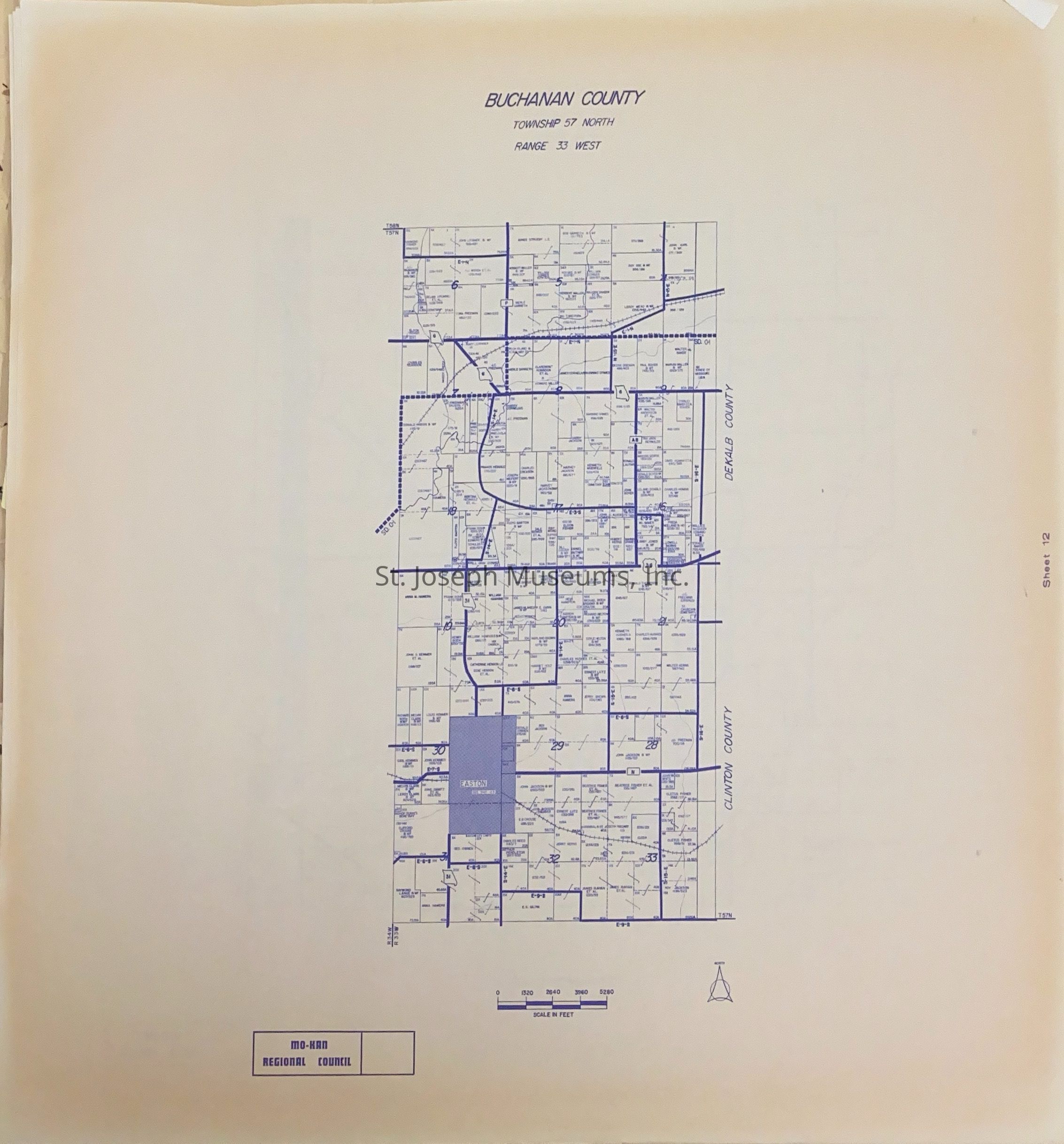
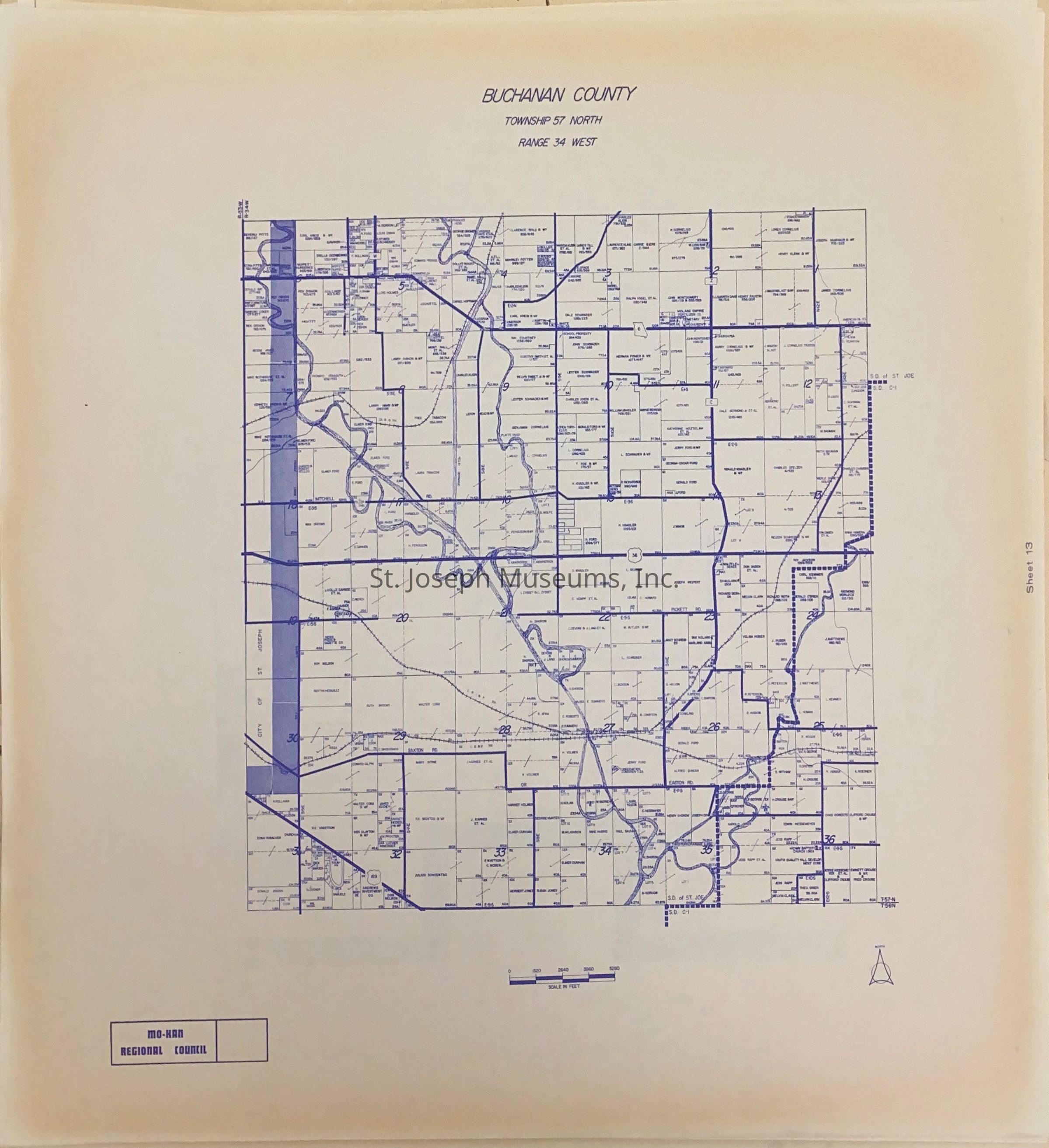
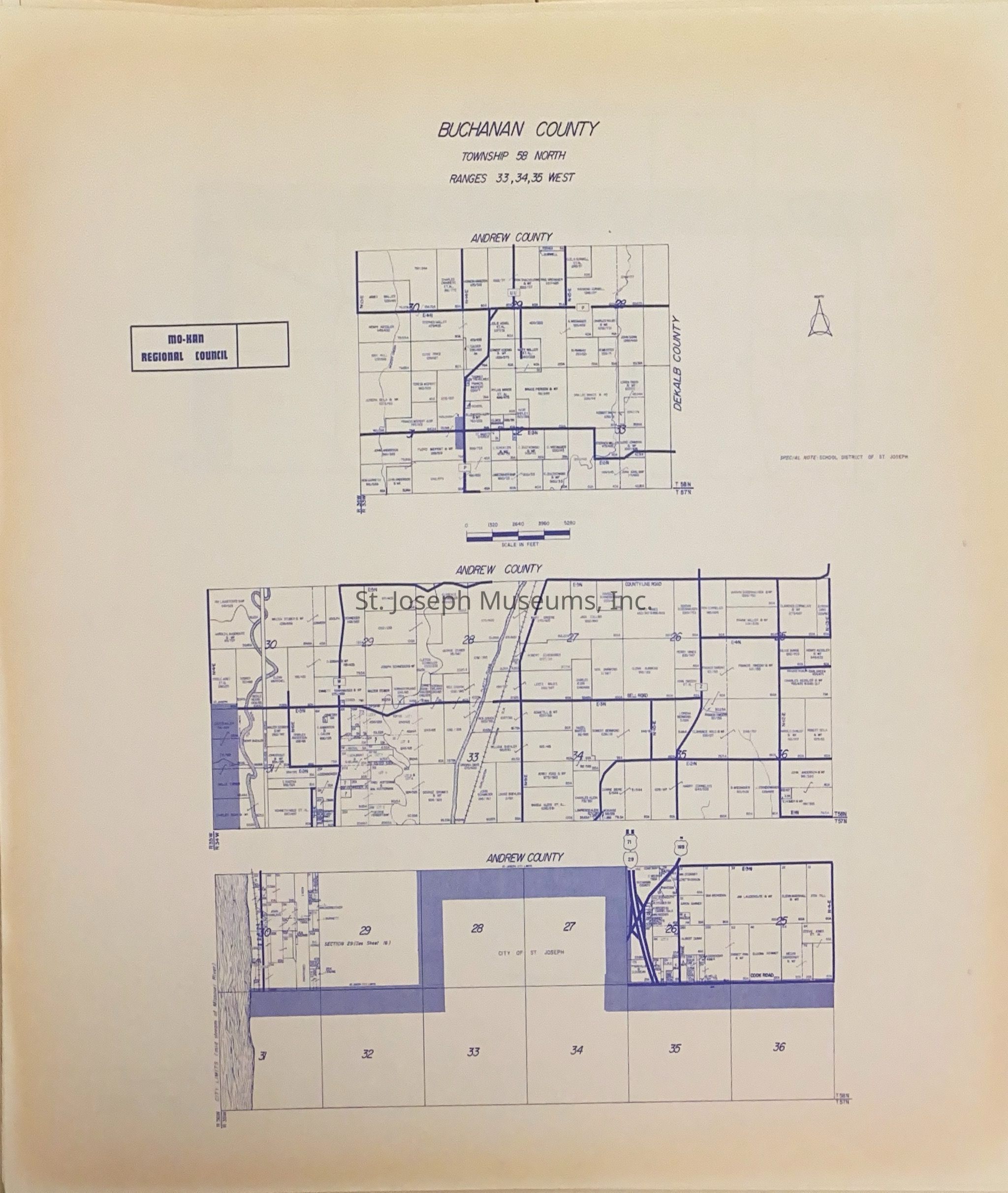
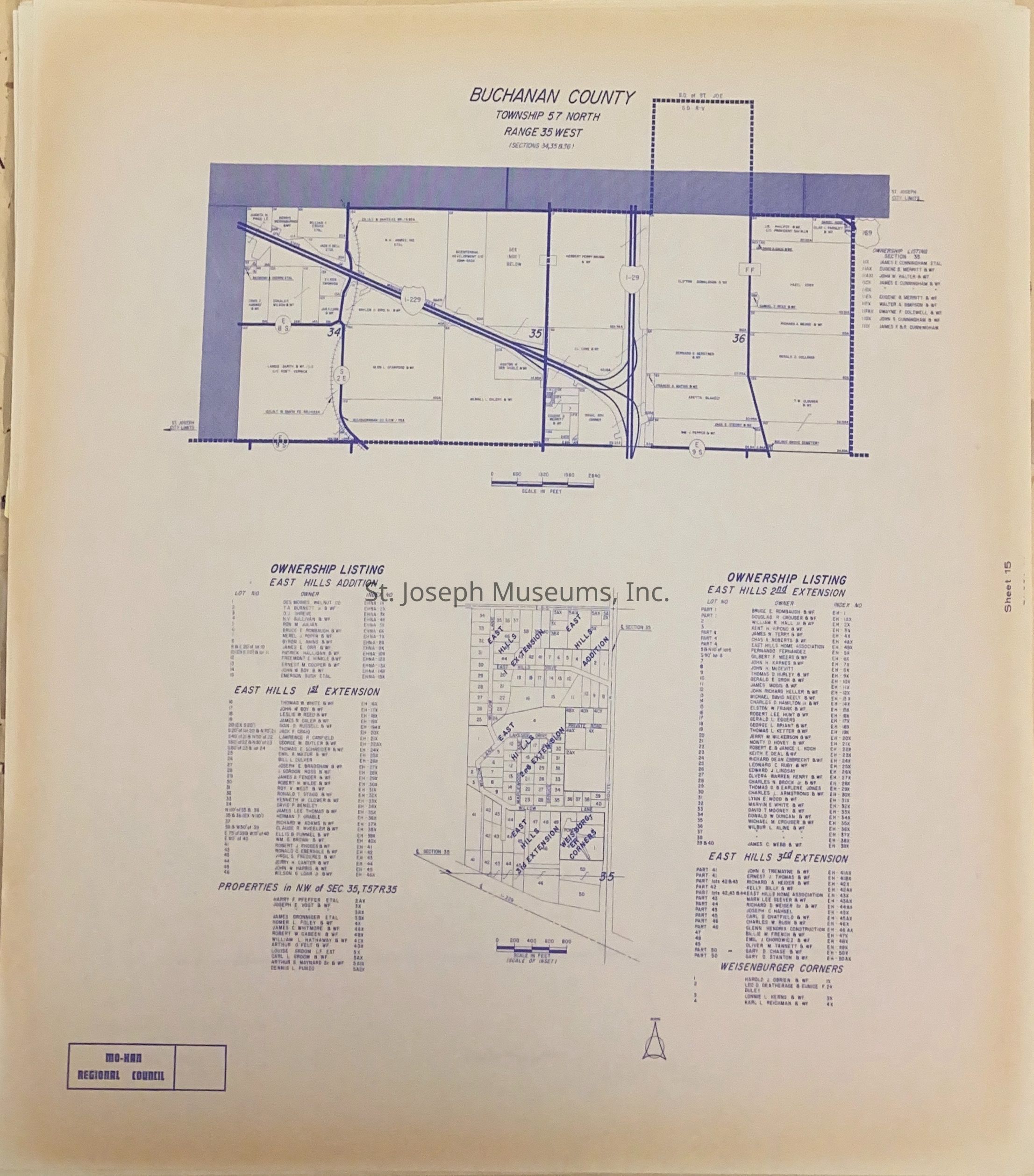
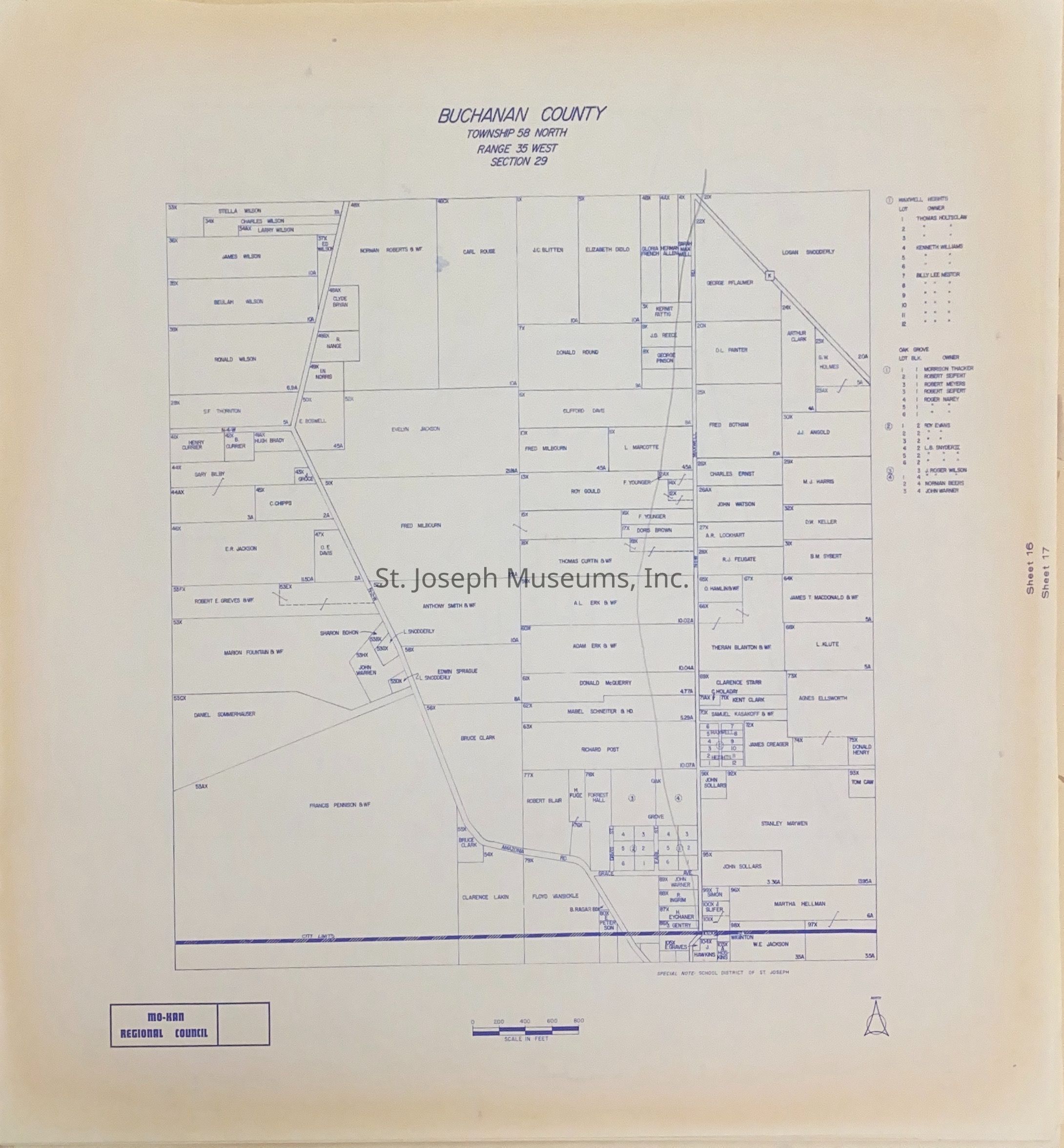
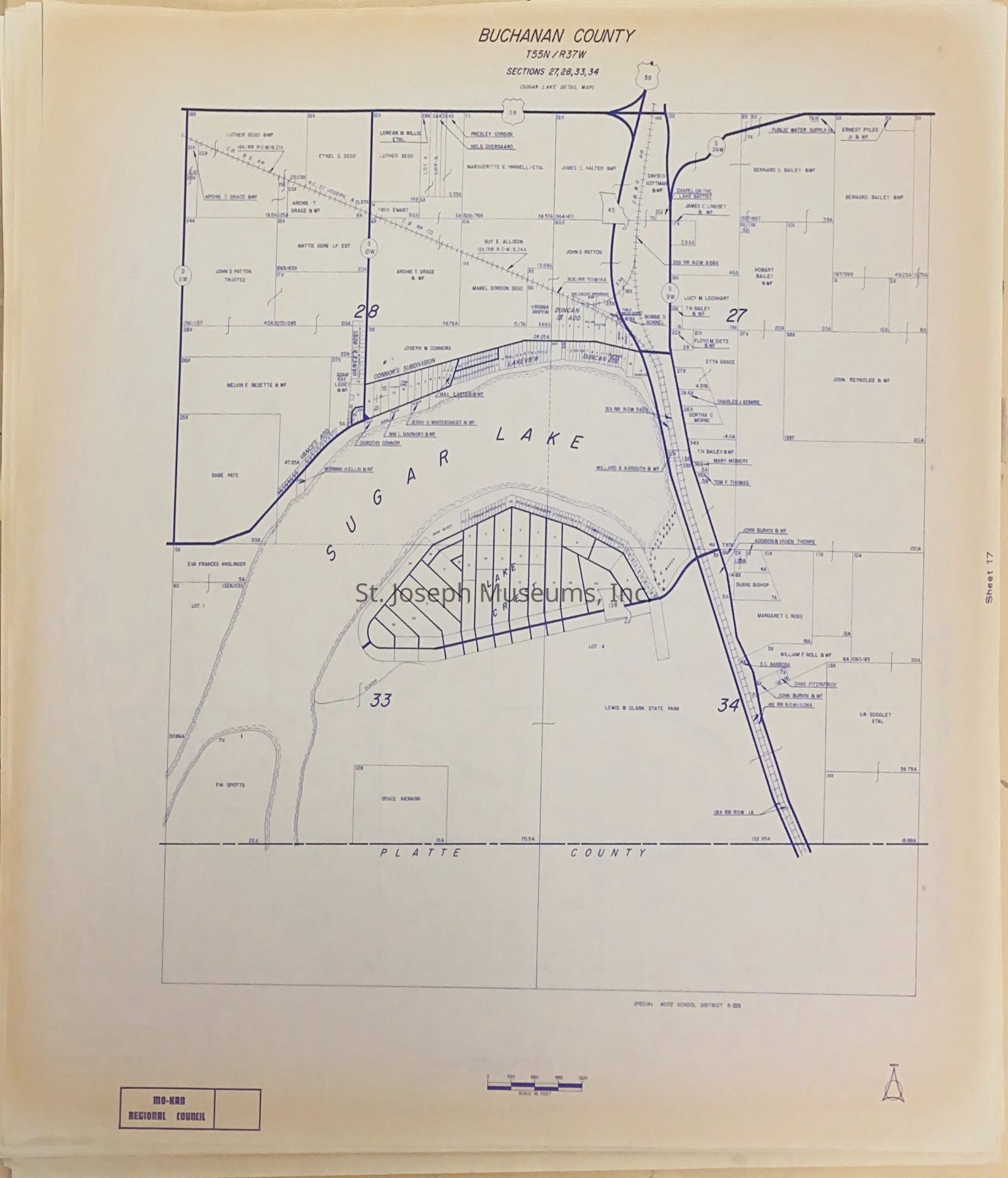
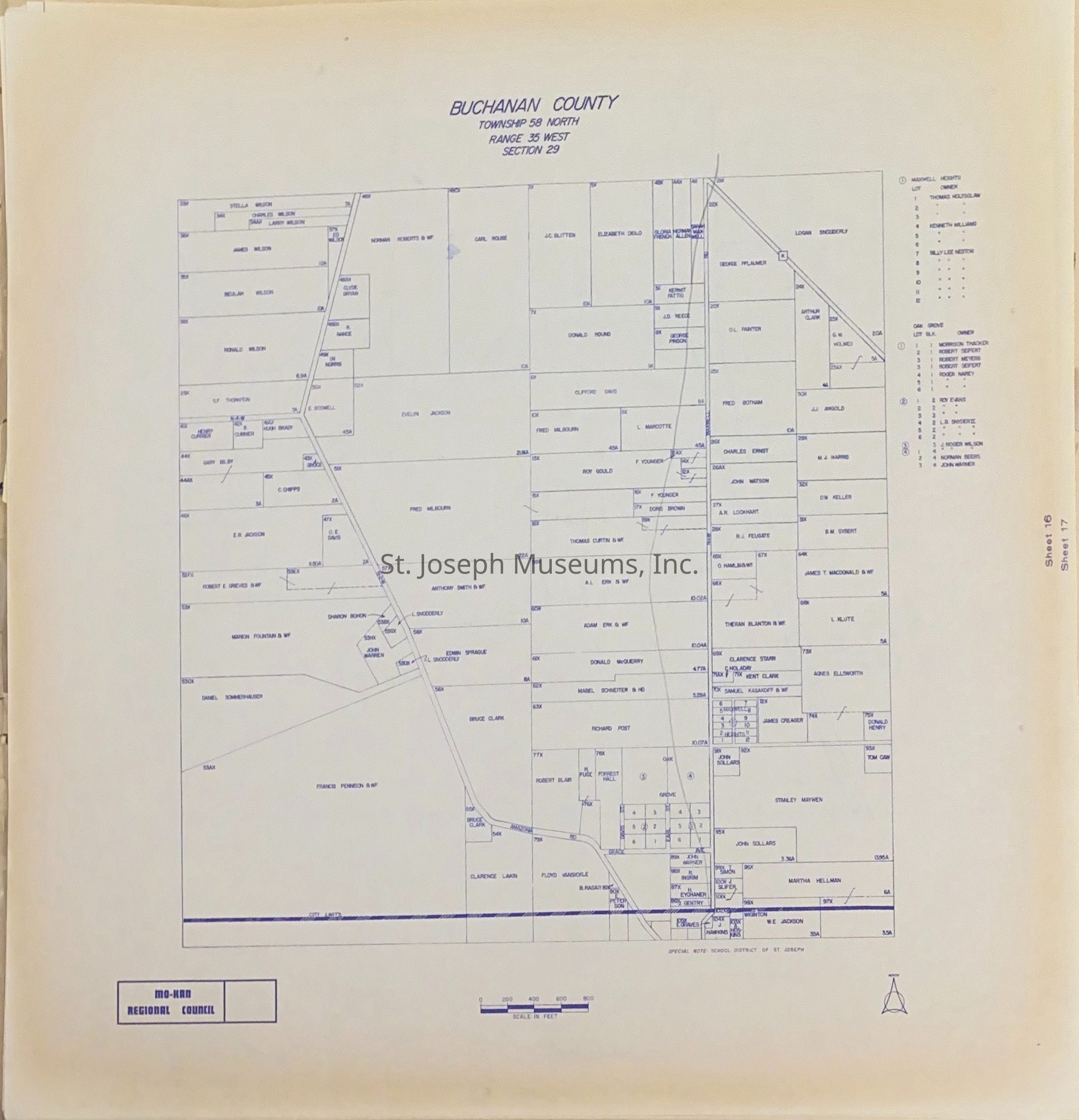
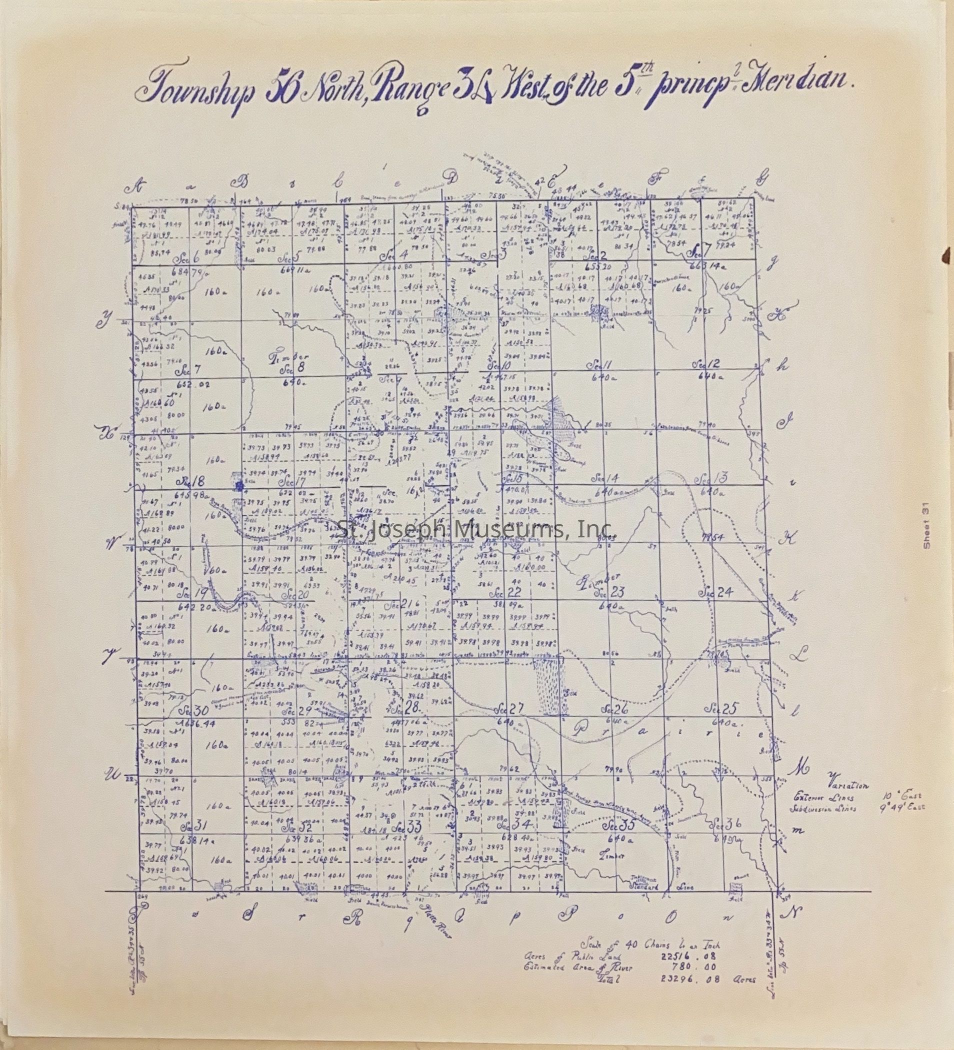
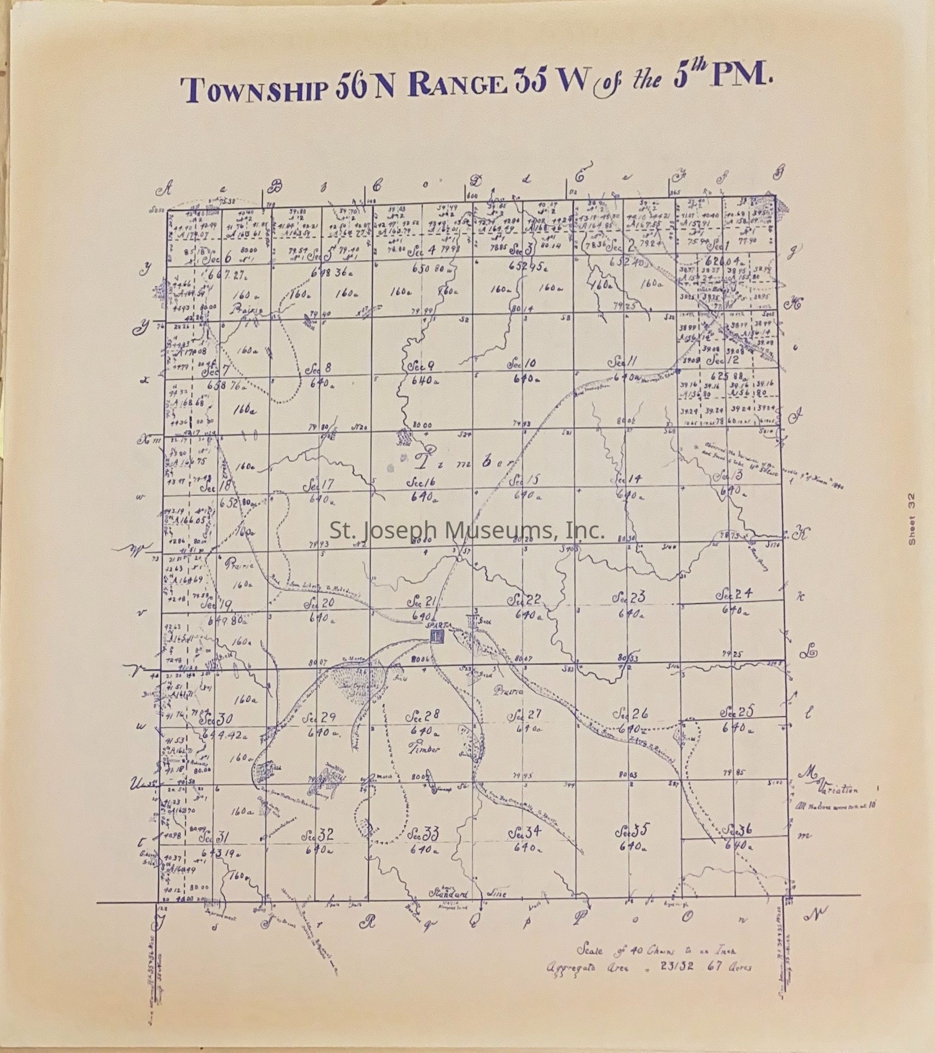
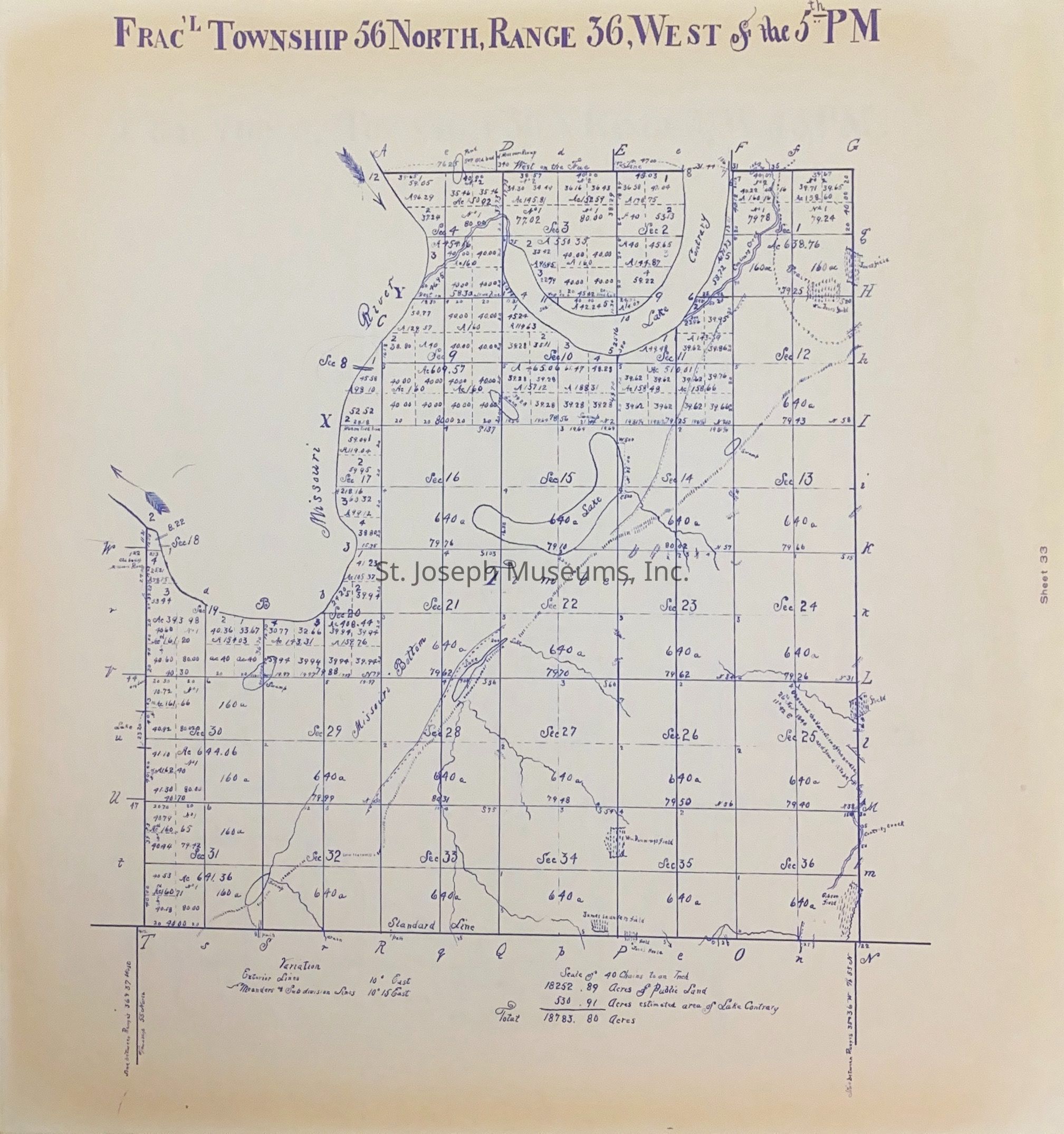
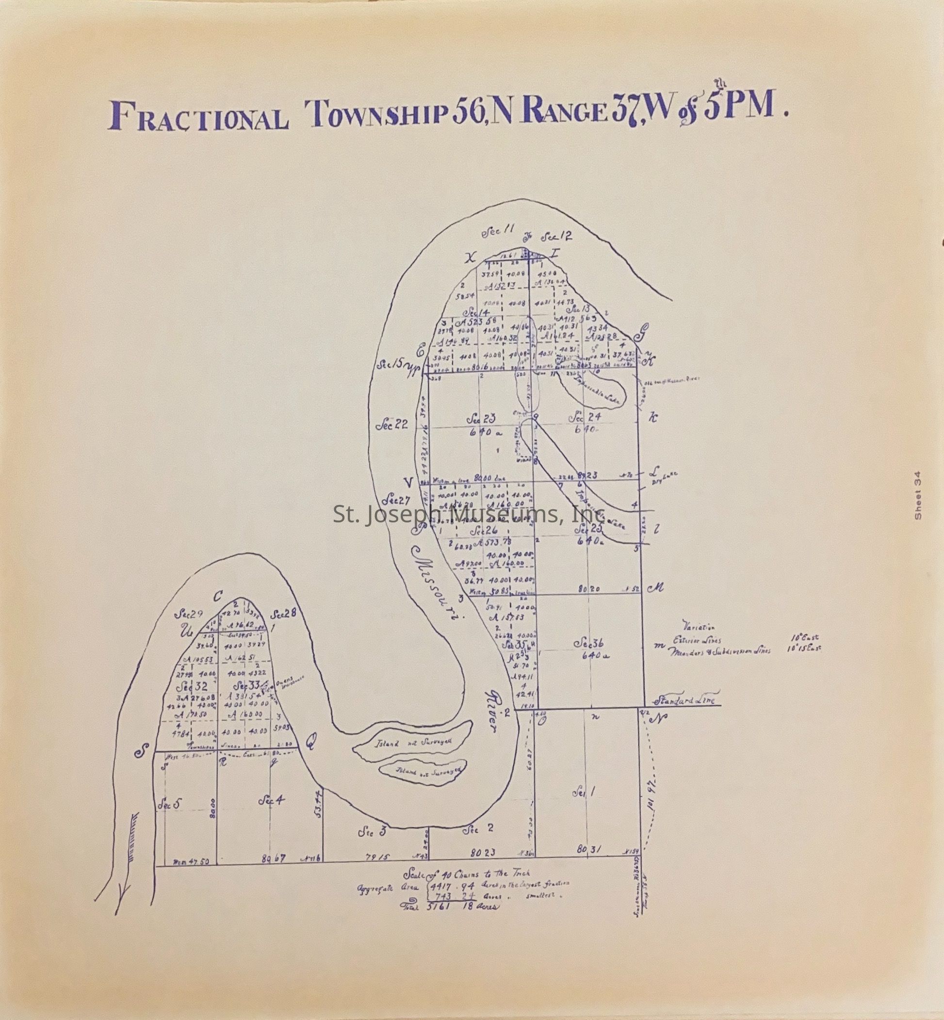
Atlas of Ownership Maps - Buchanan County, Missouri
Entry/Object ID
L2005.1.35
Description
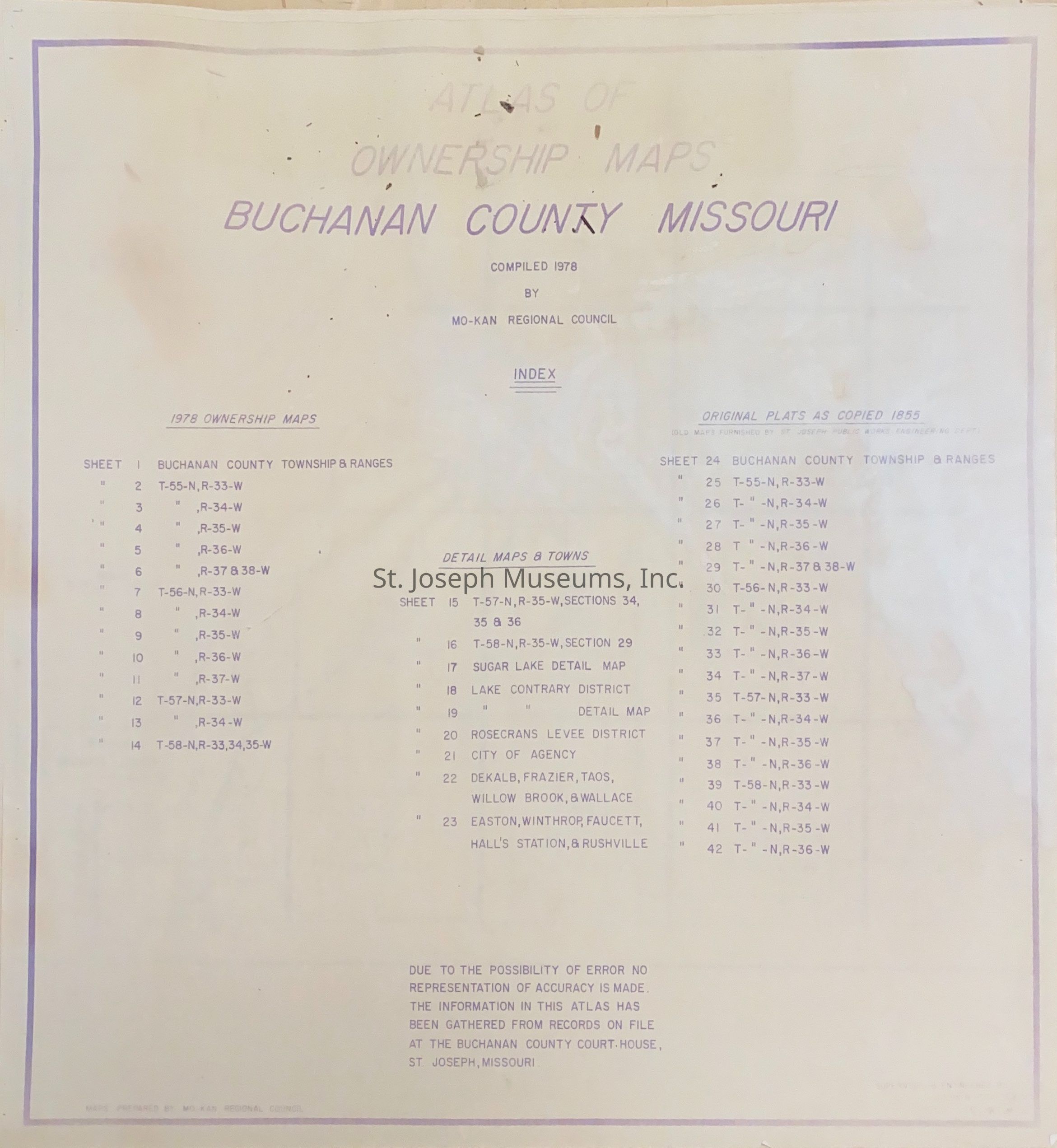
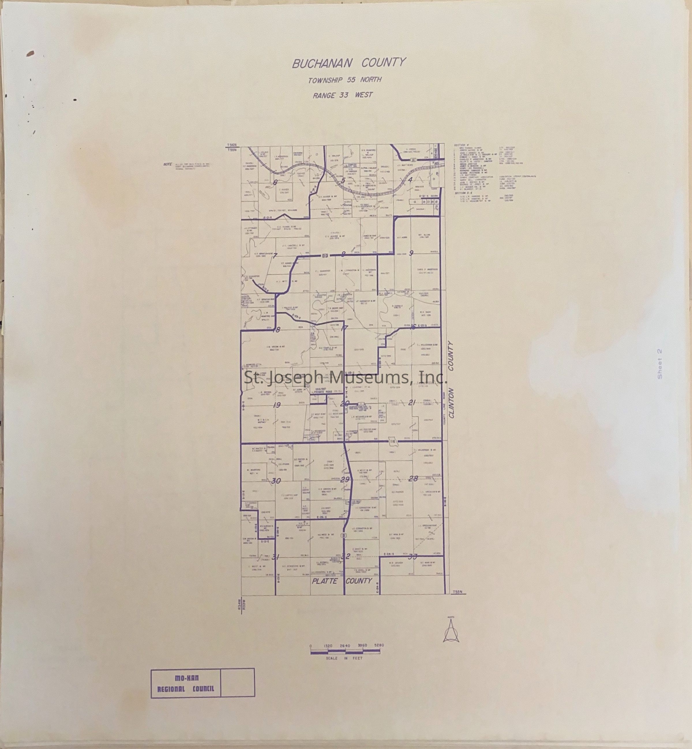
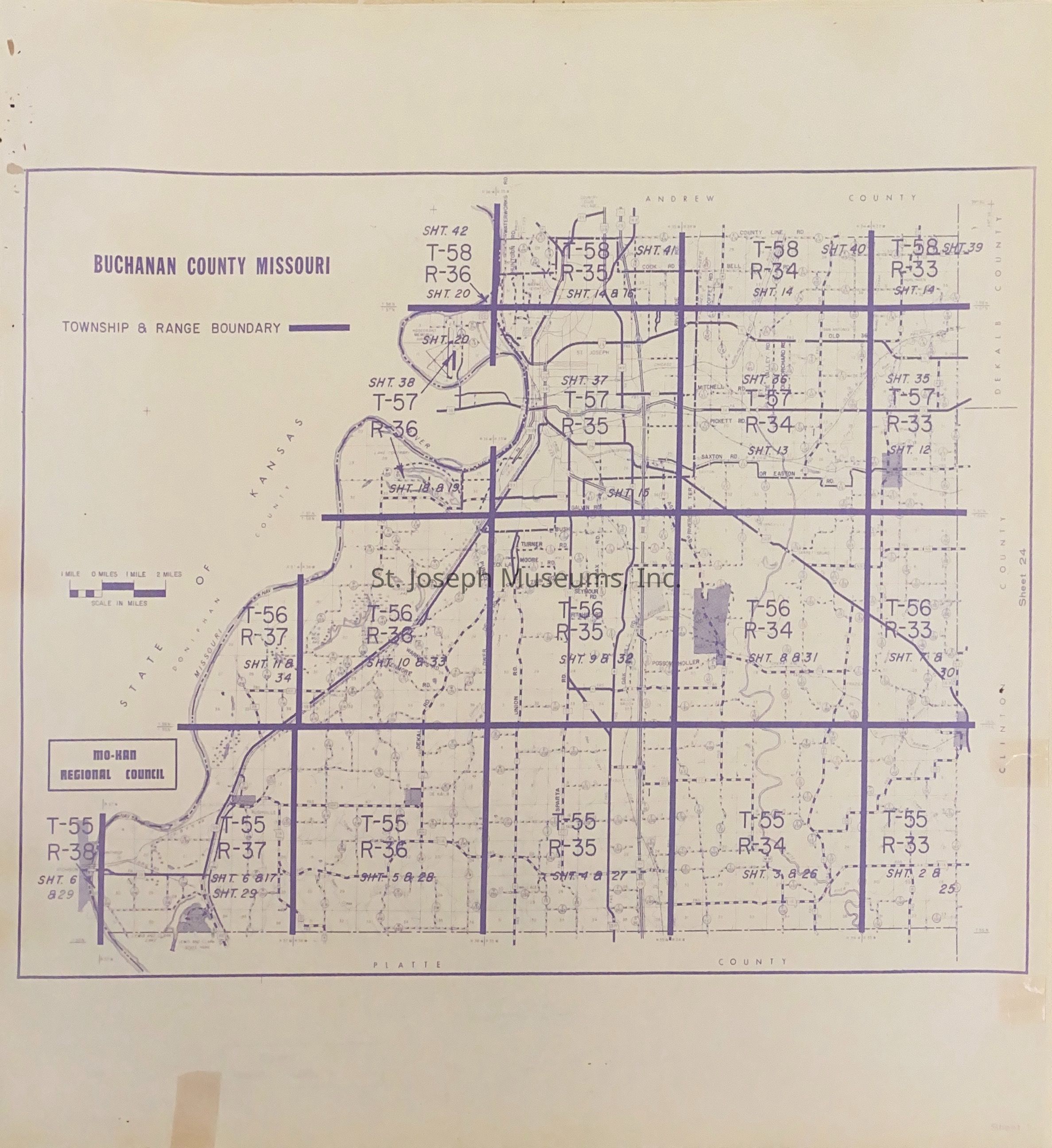
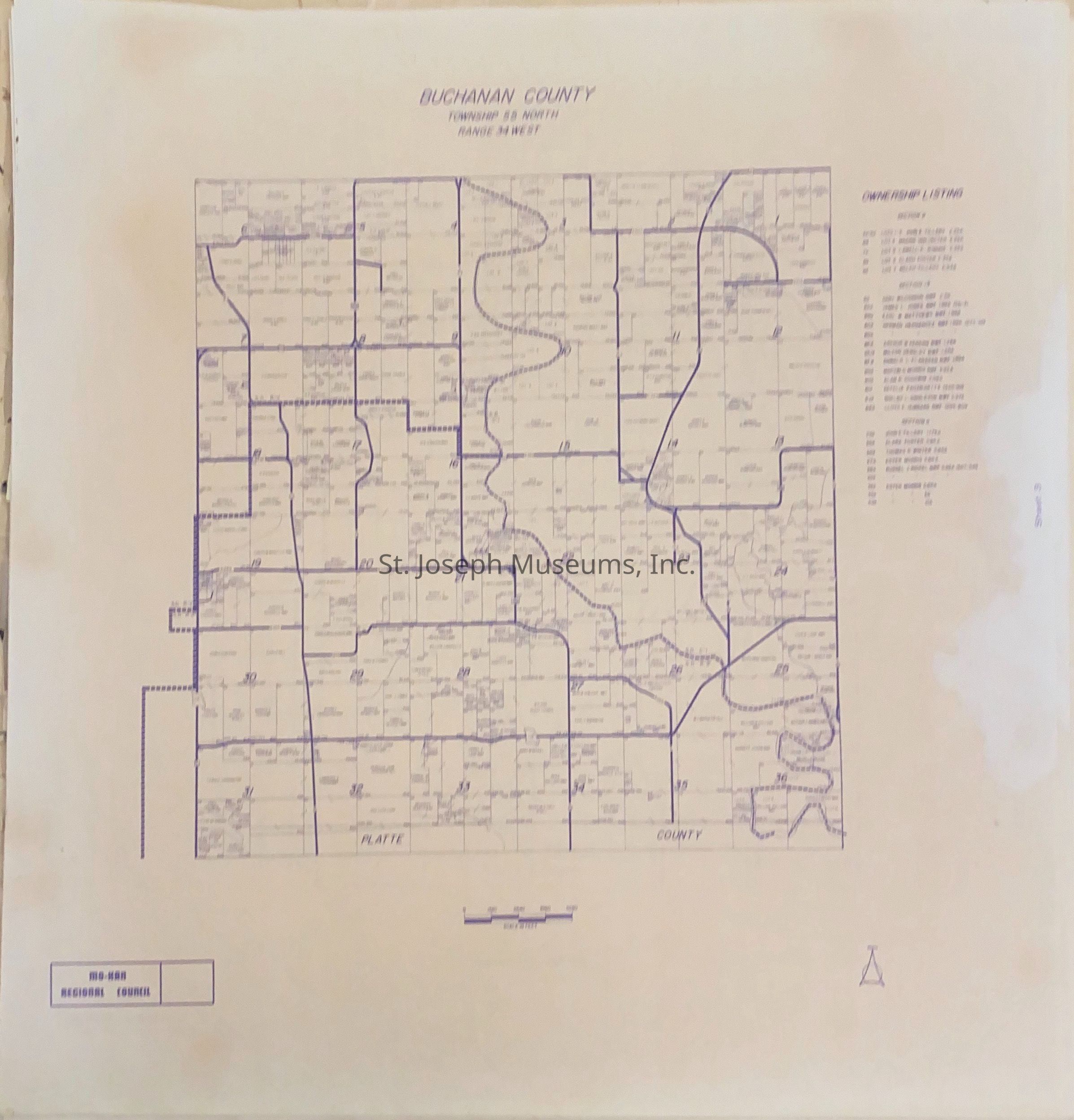
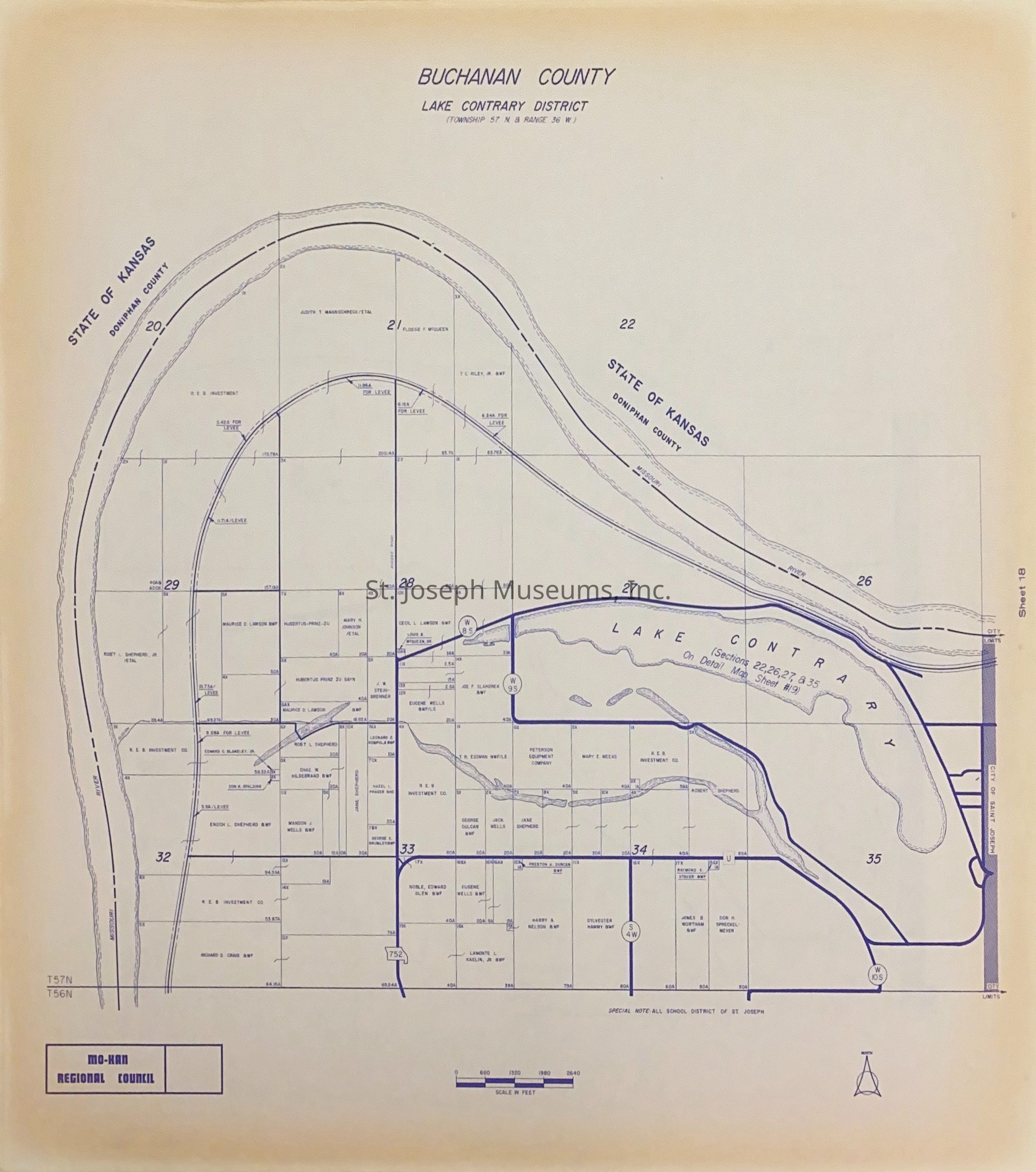
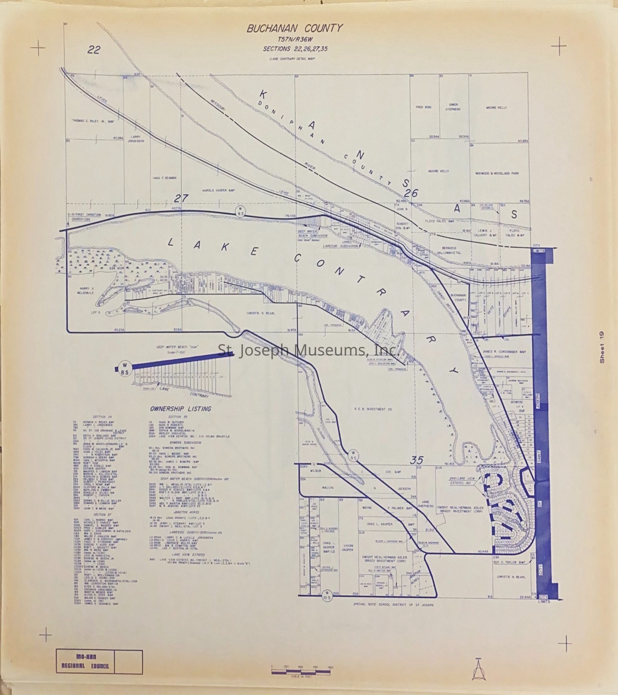
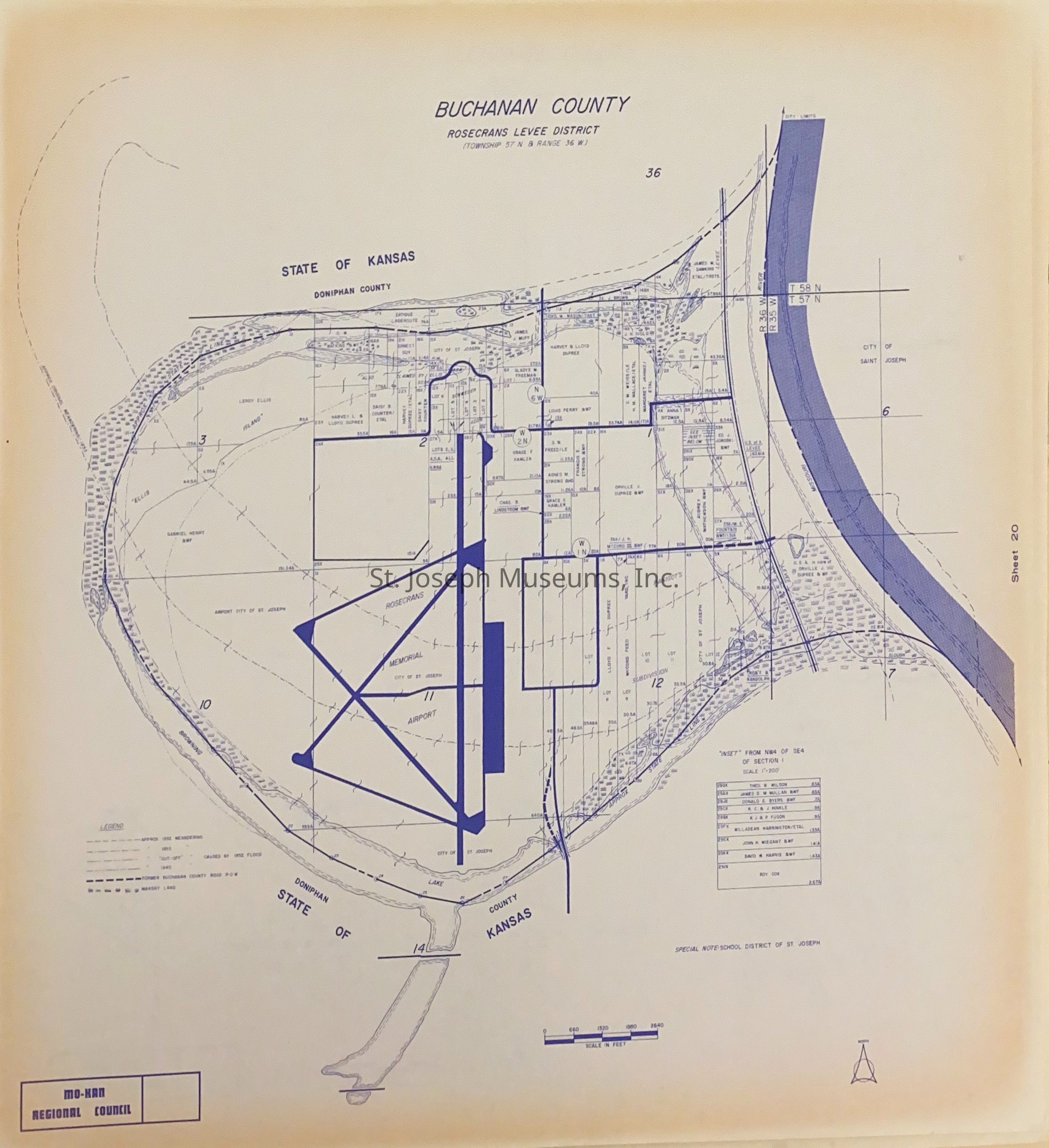
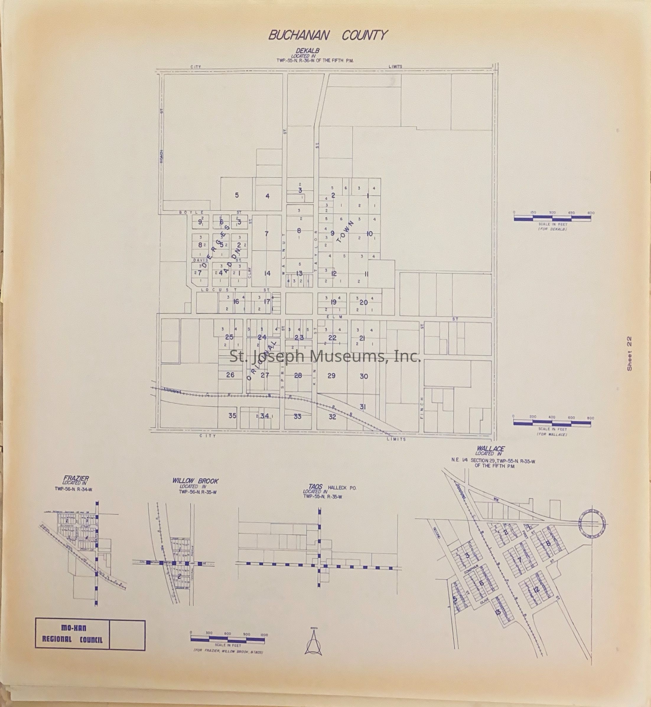
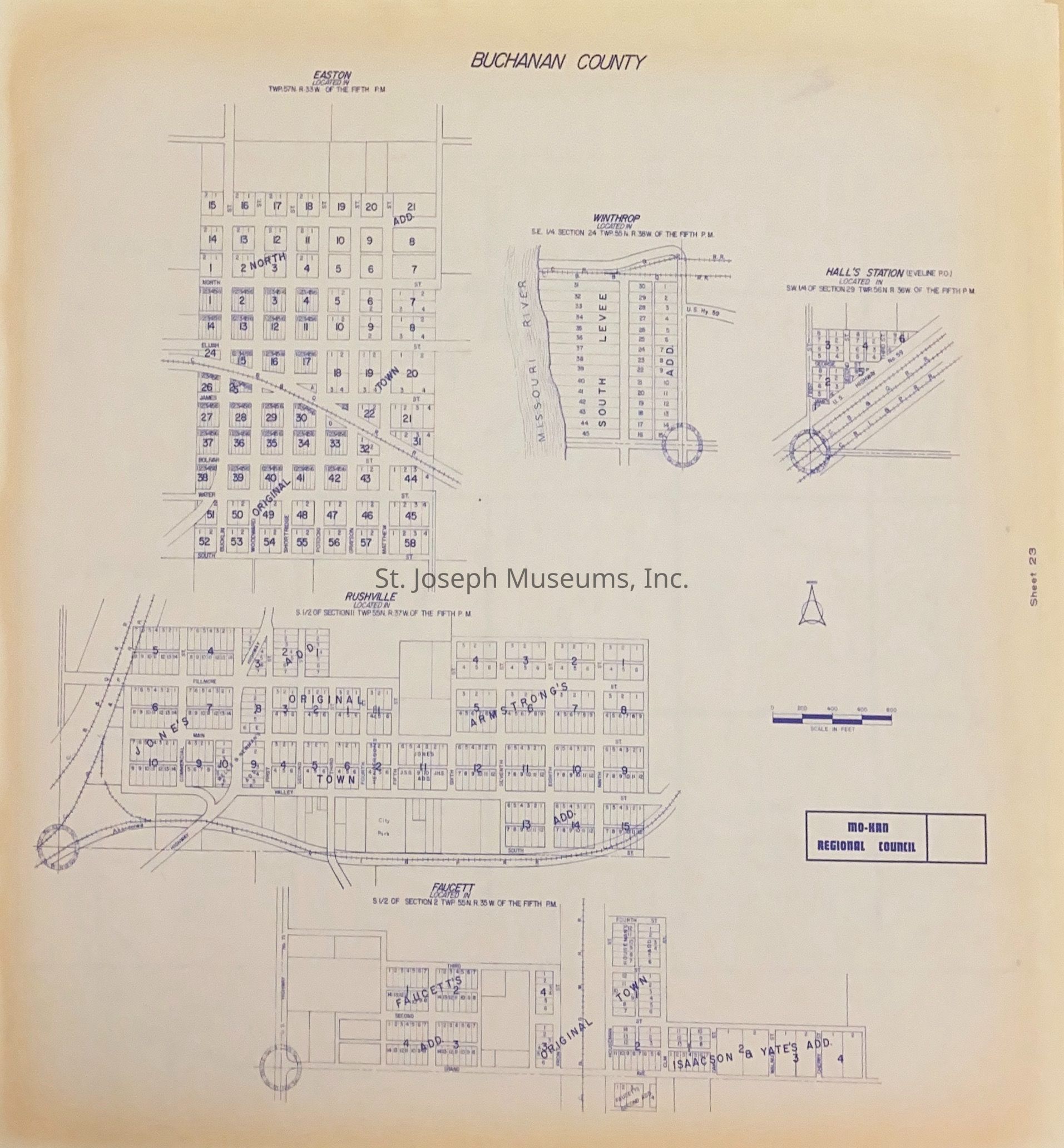
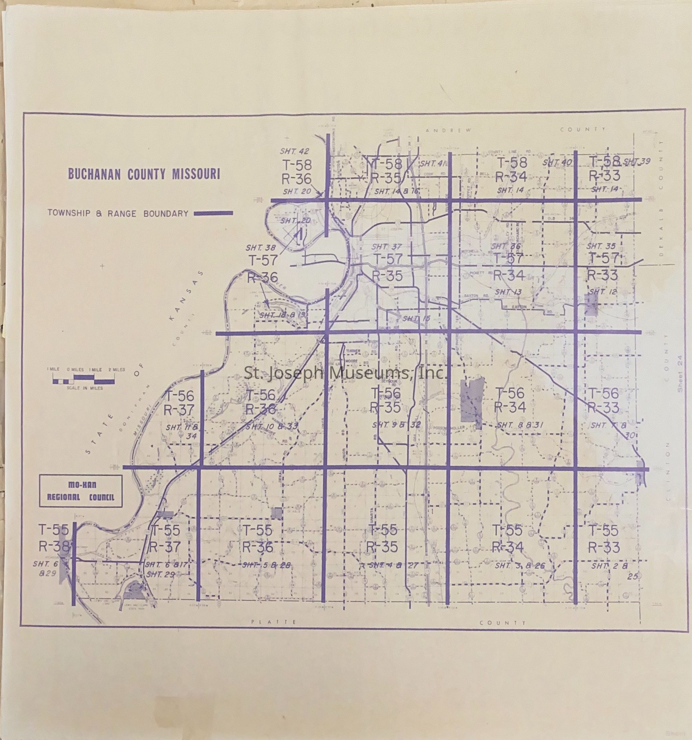
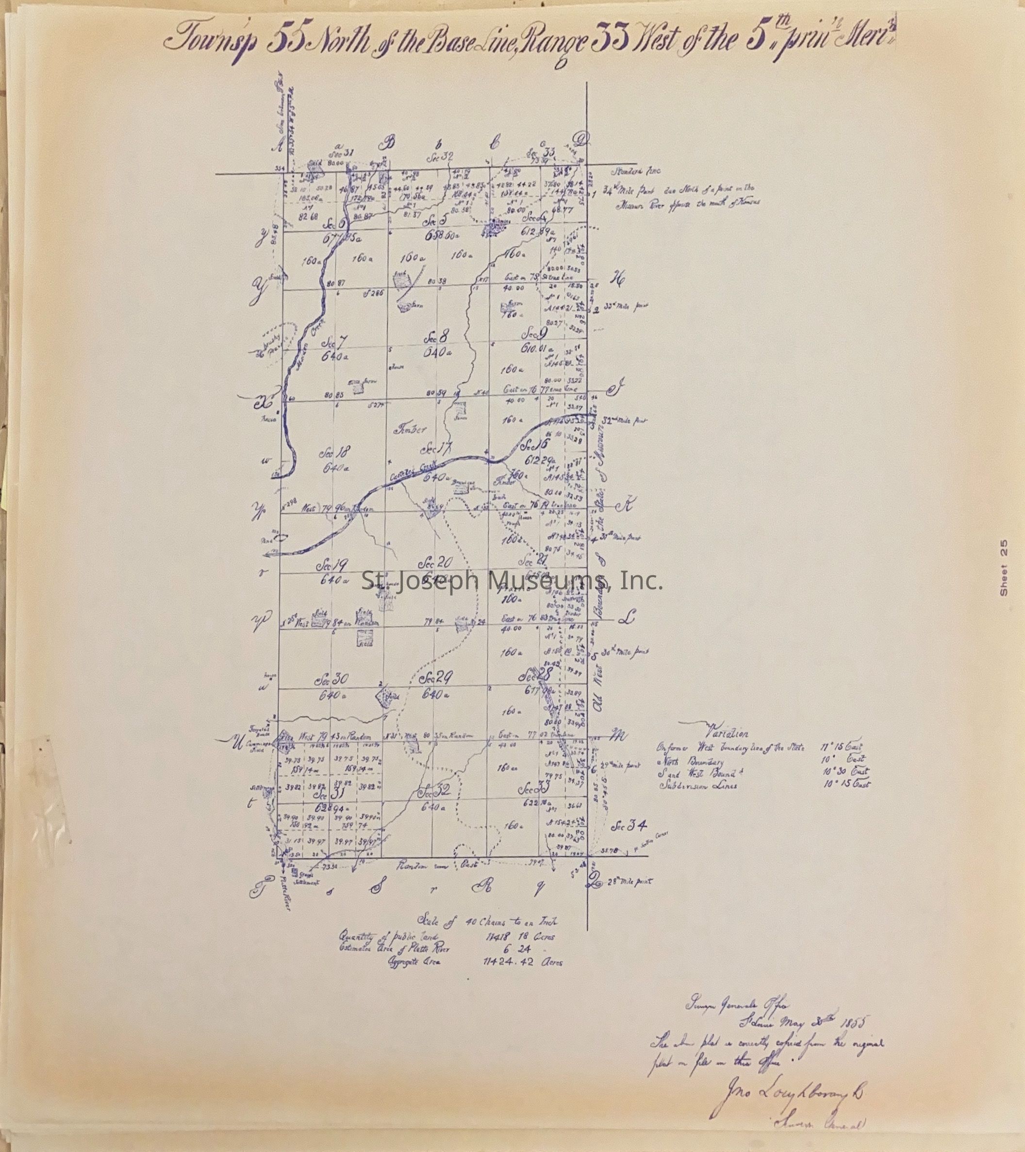
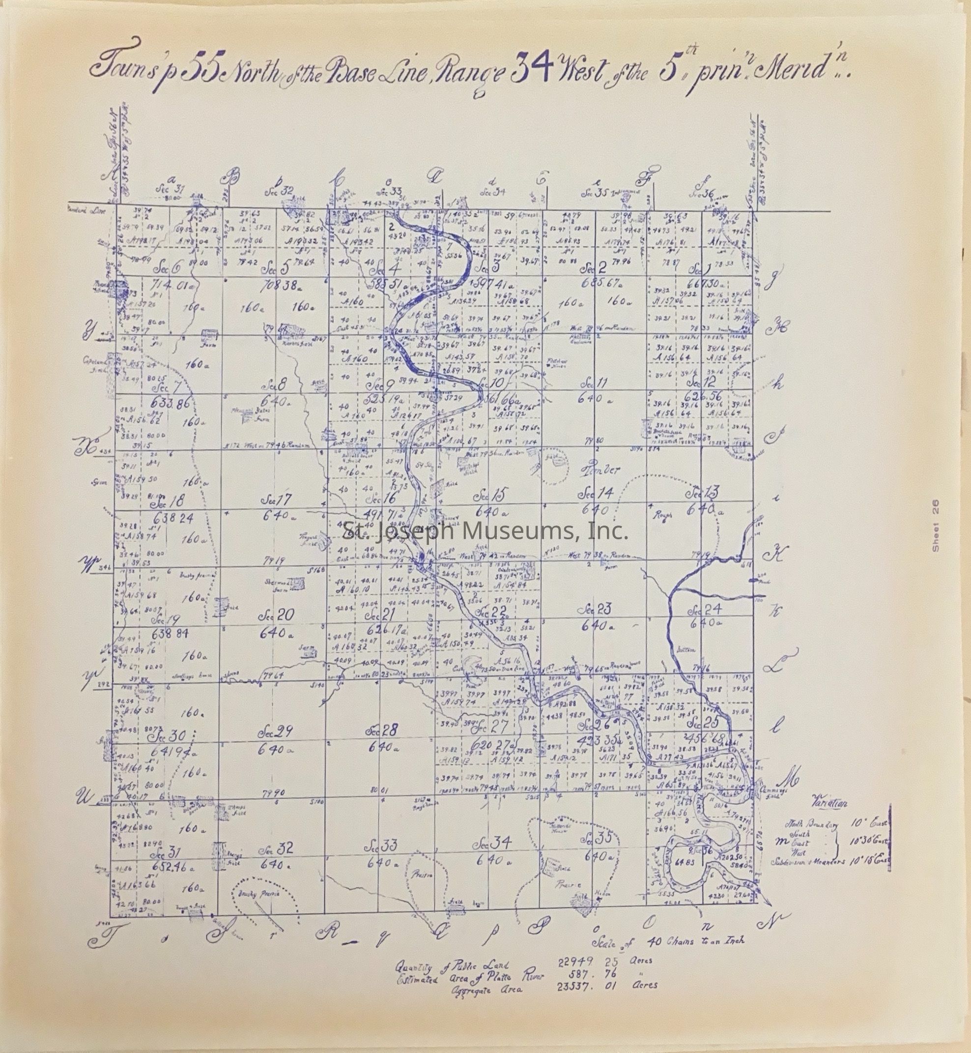
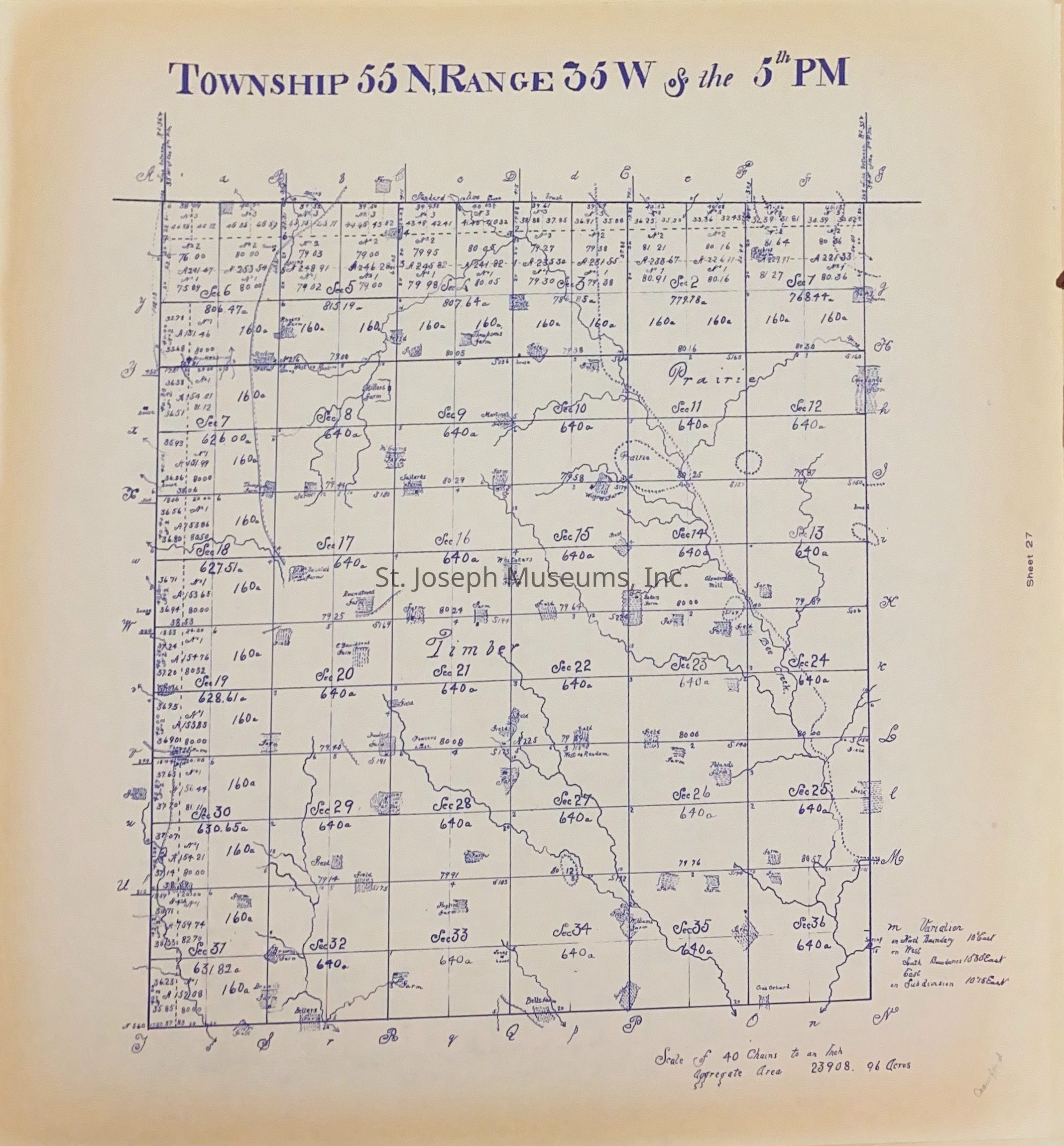
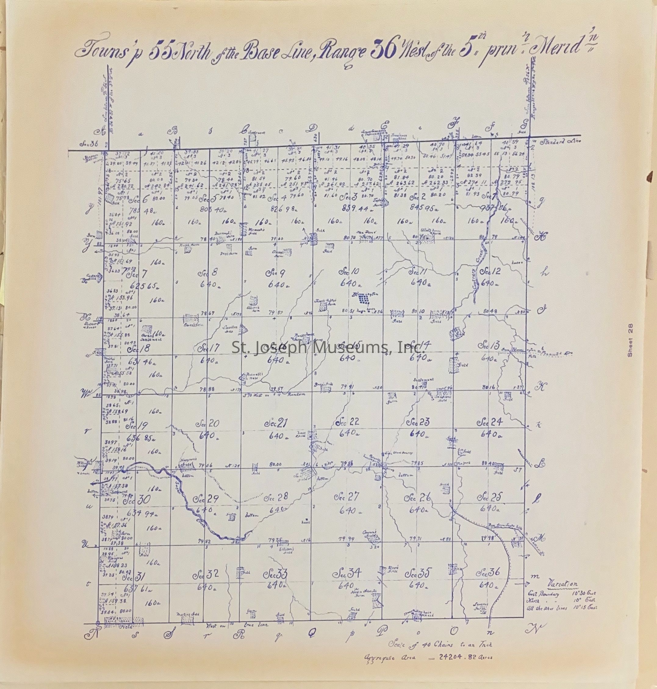
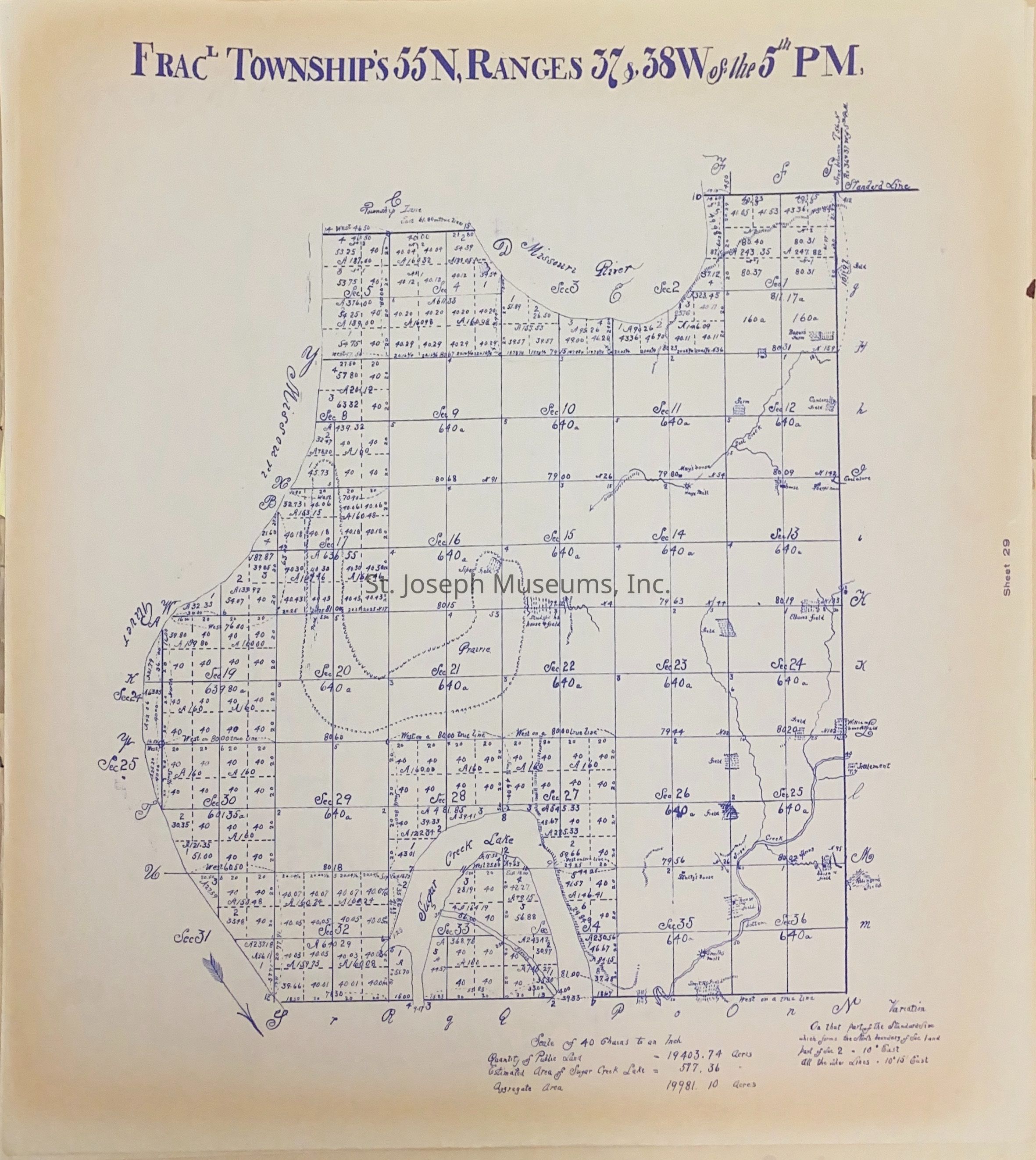
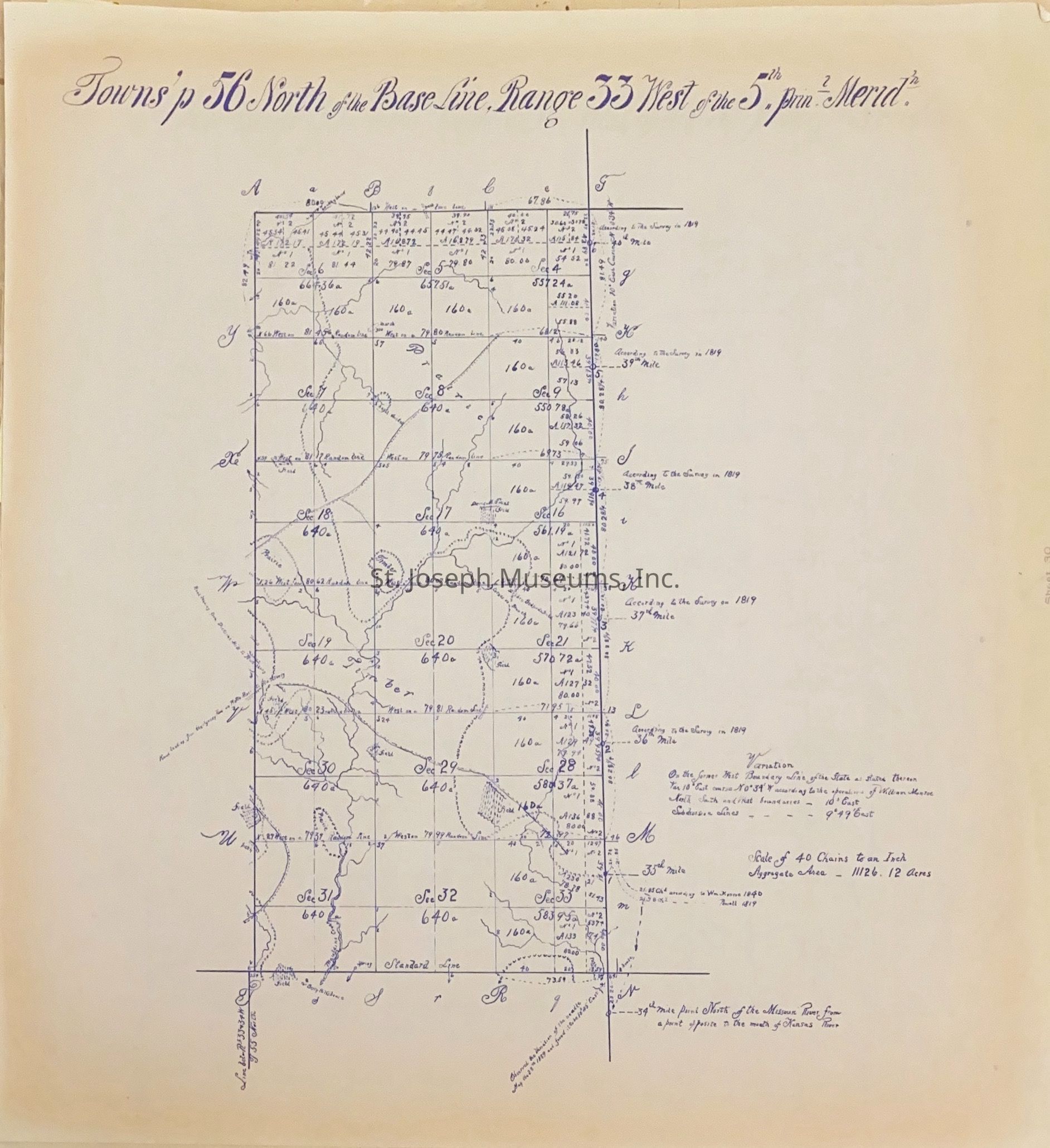
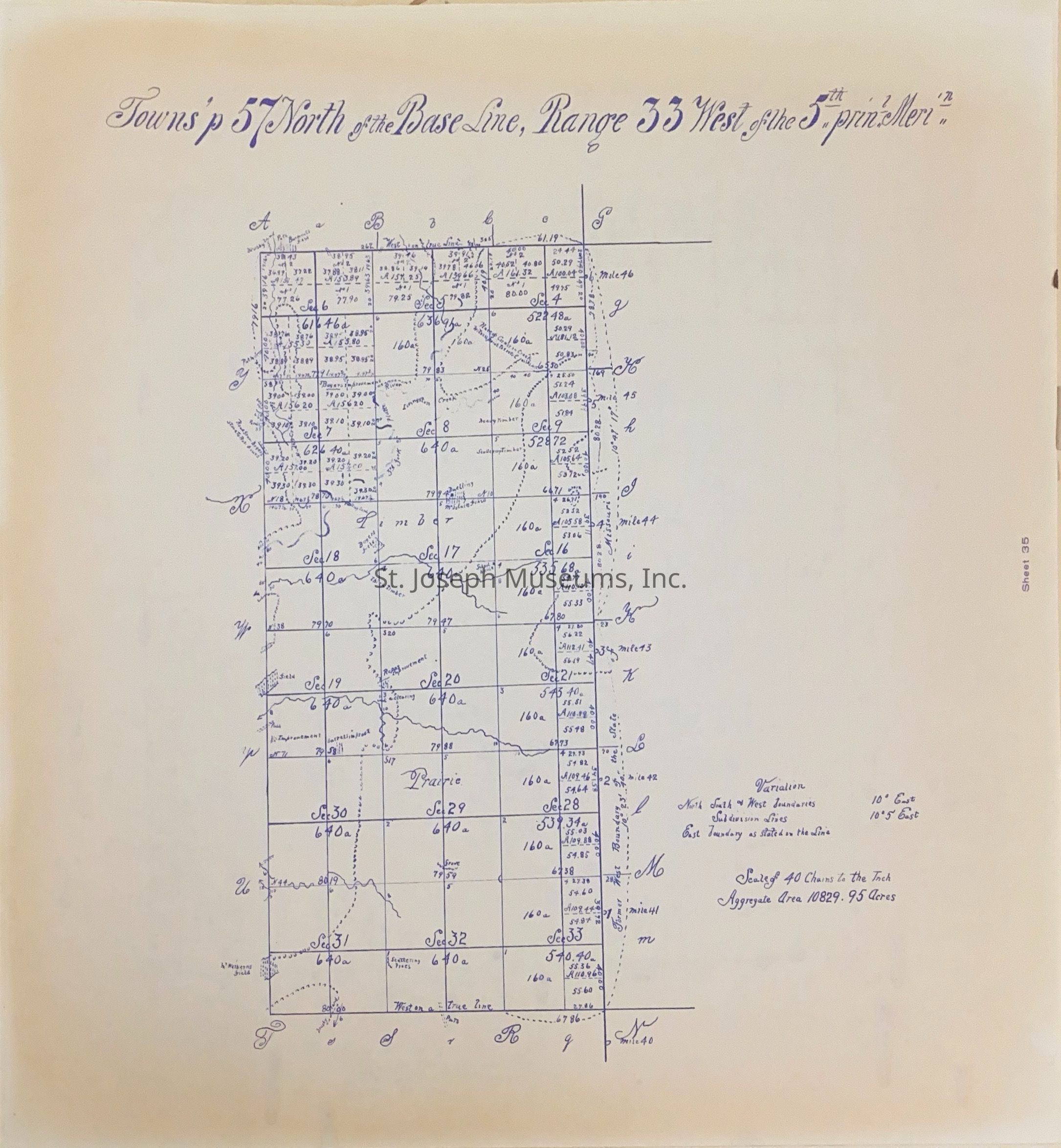
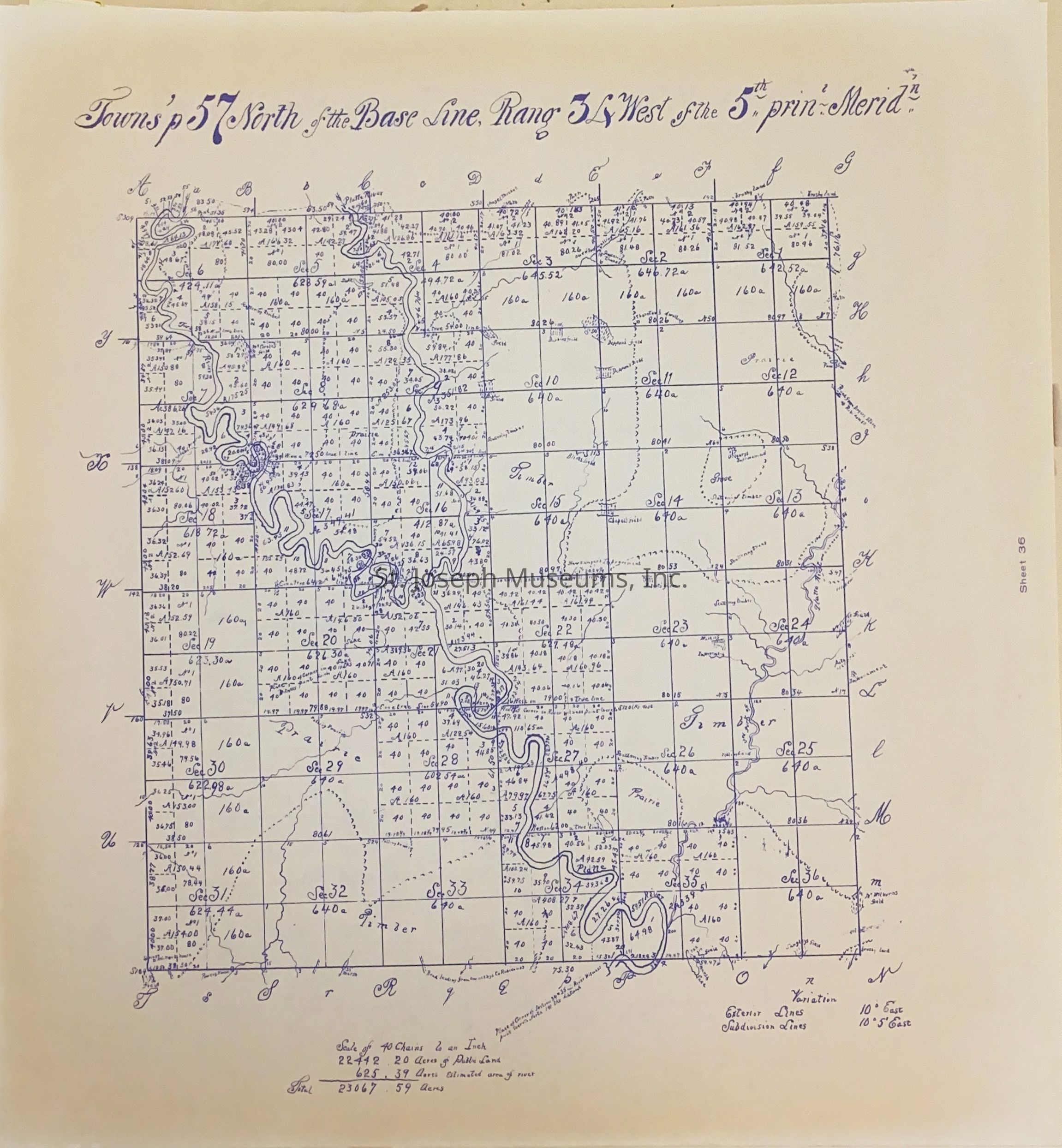
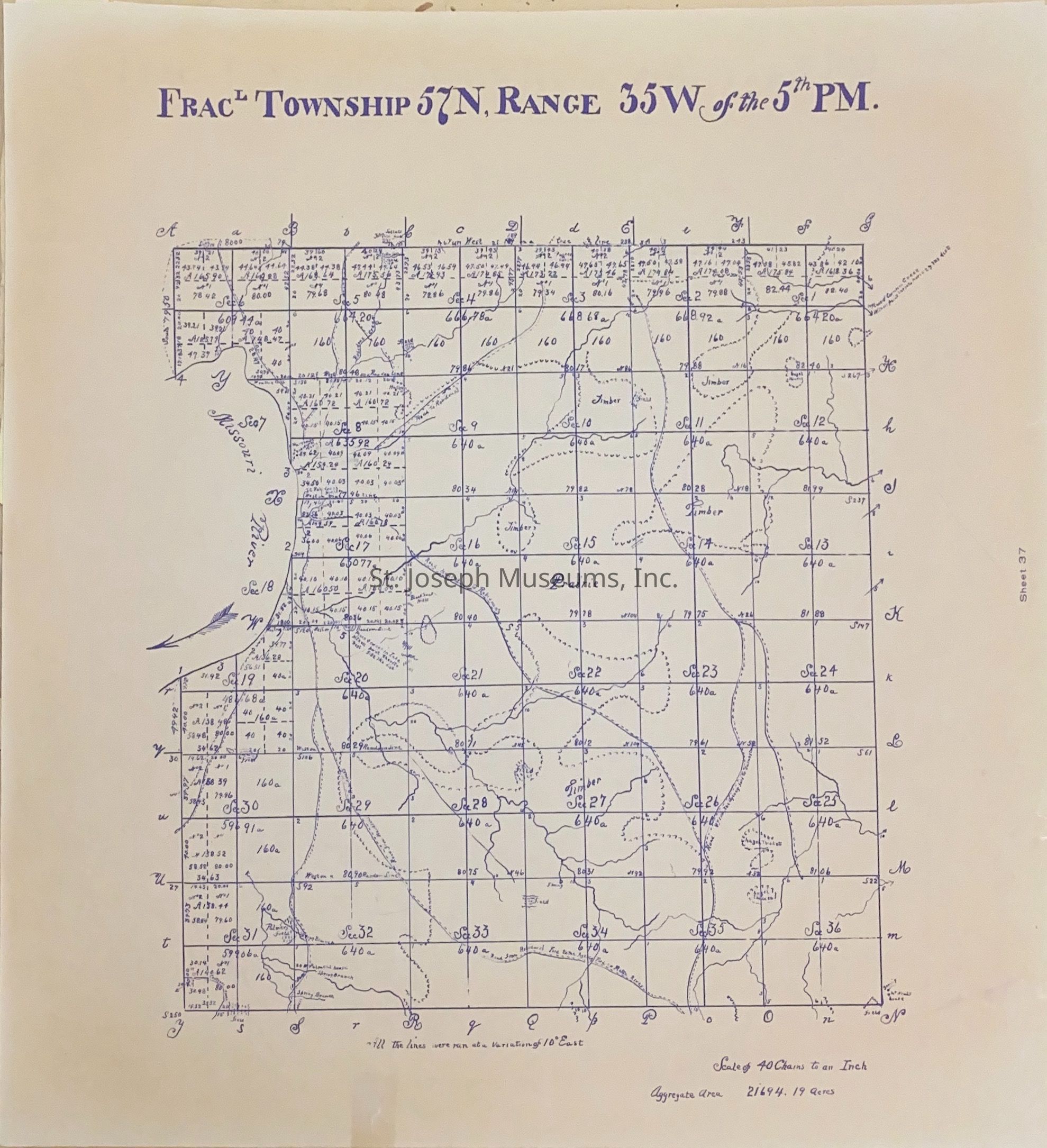
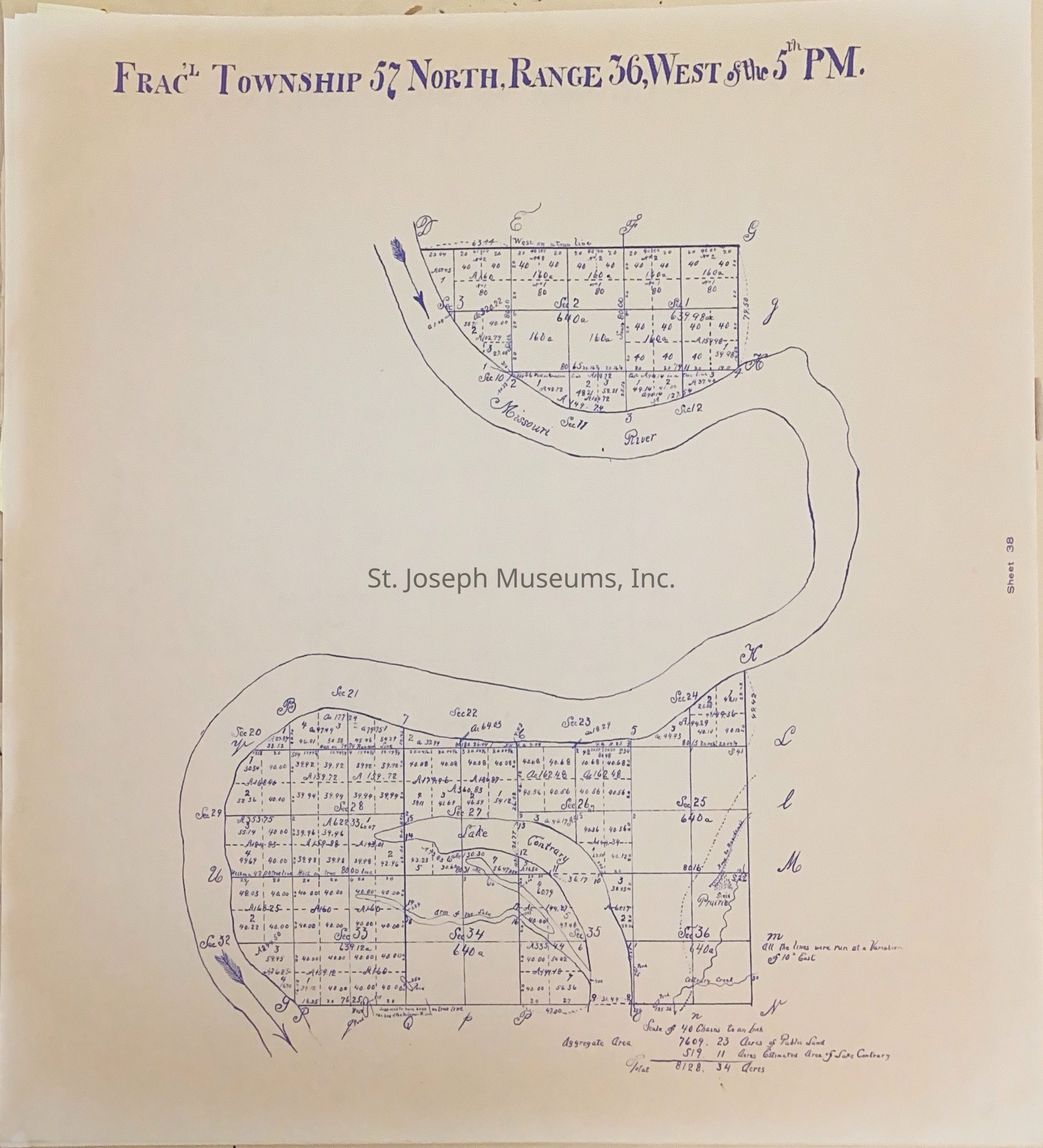
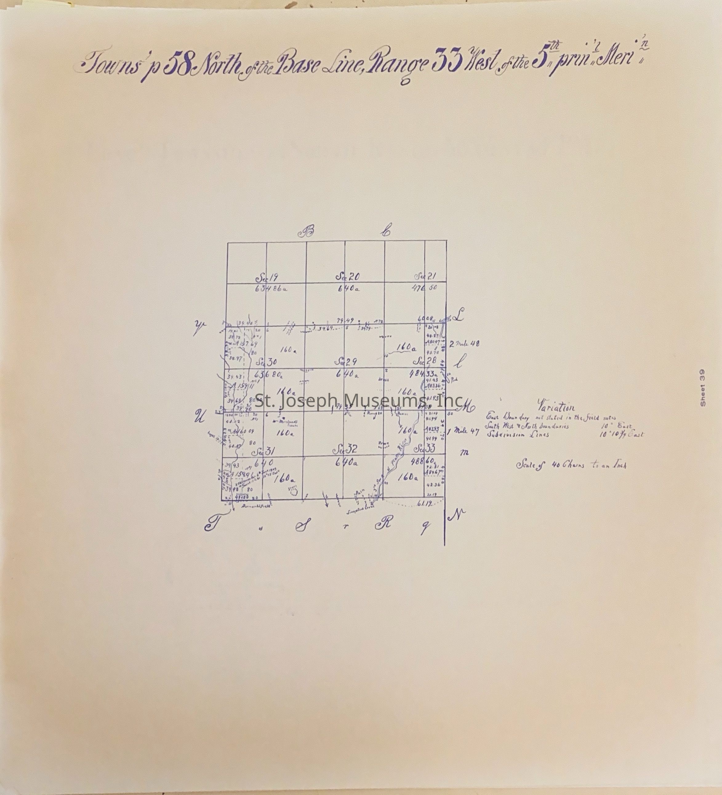
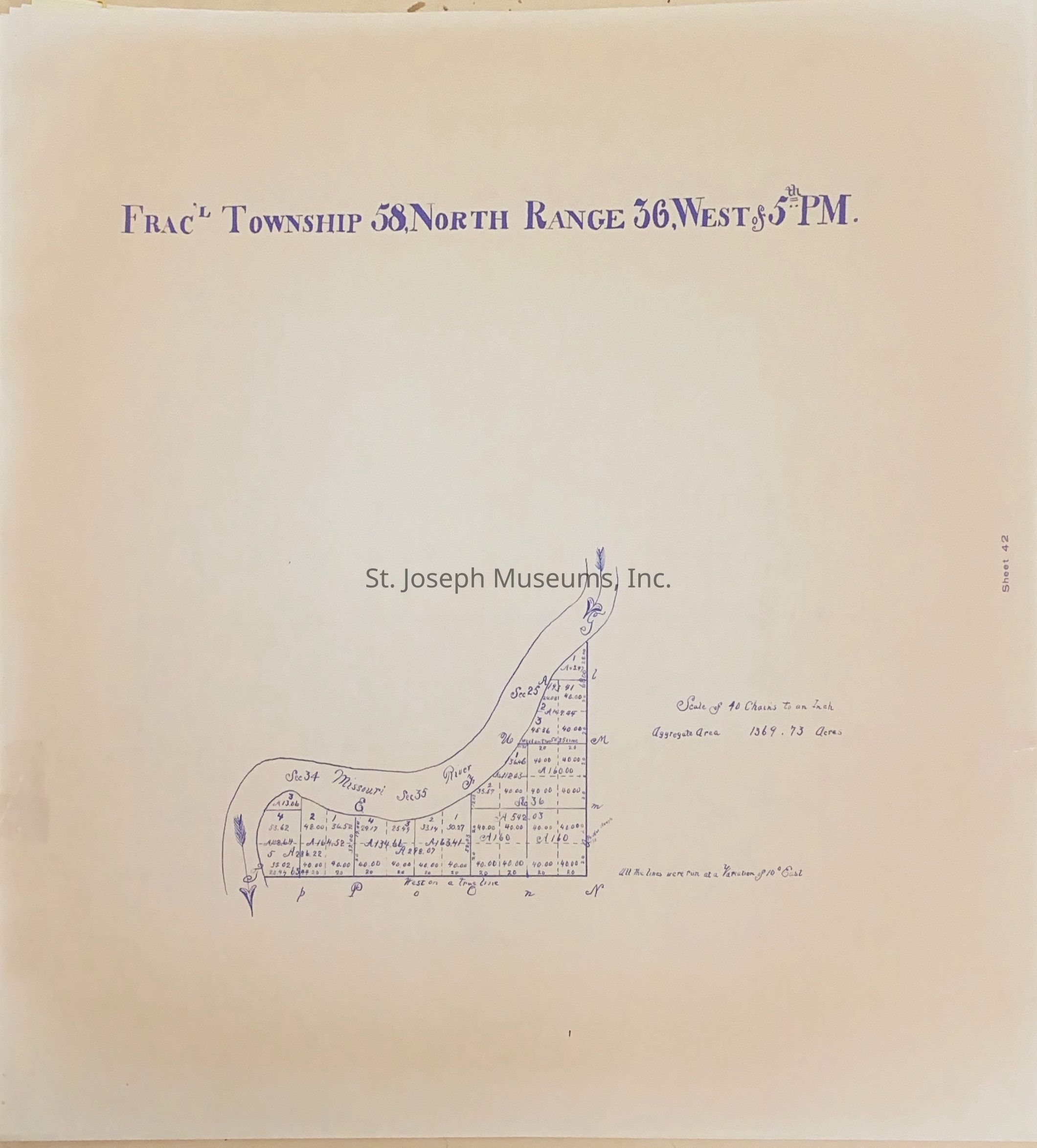
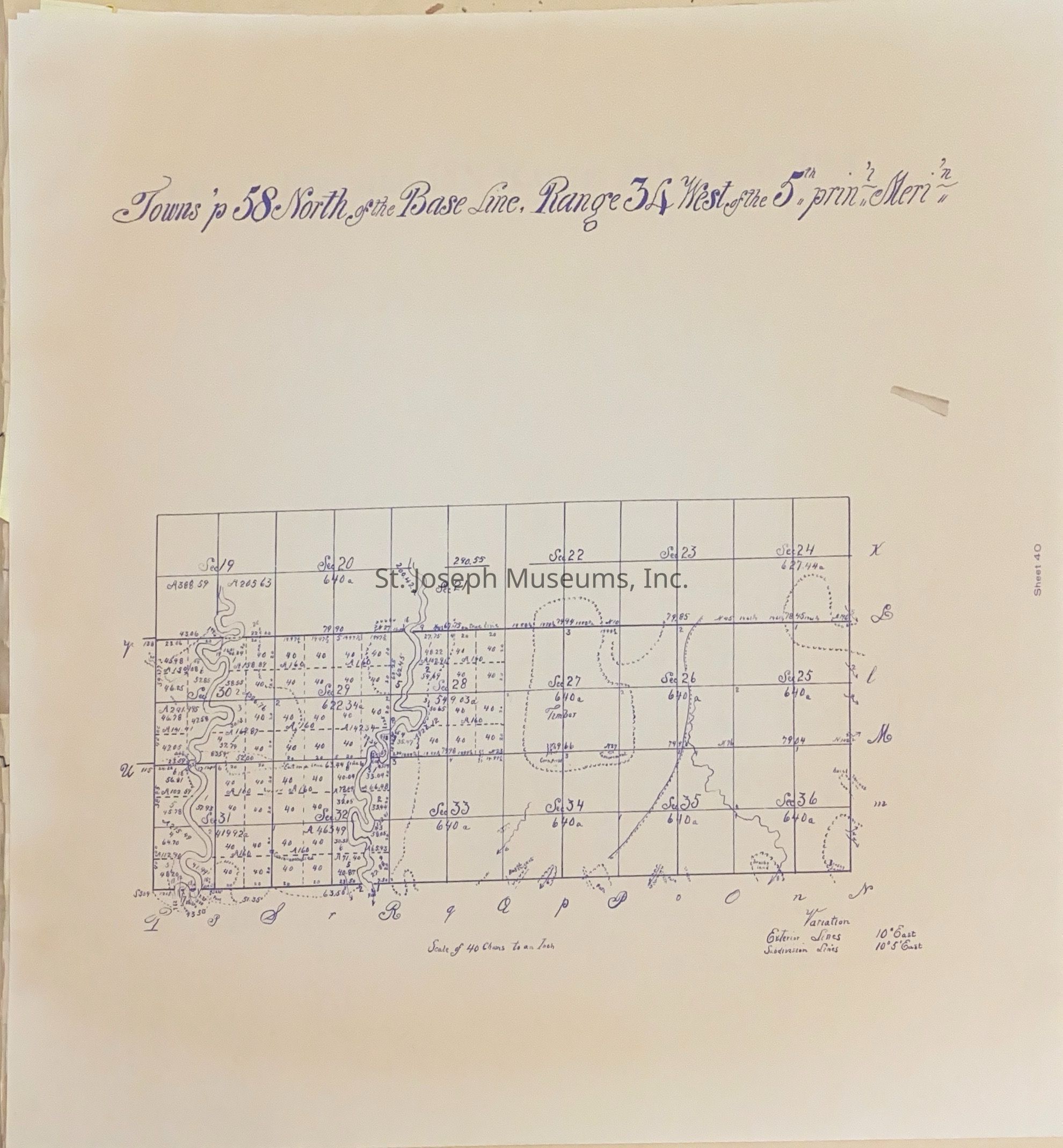
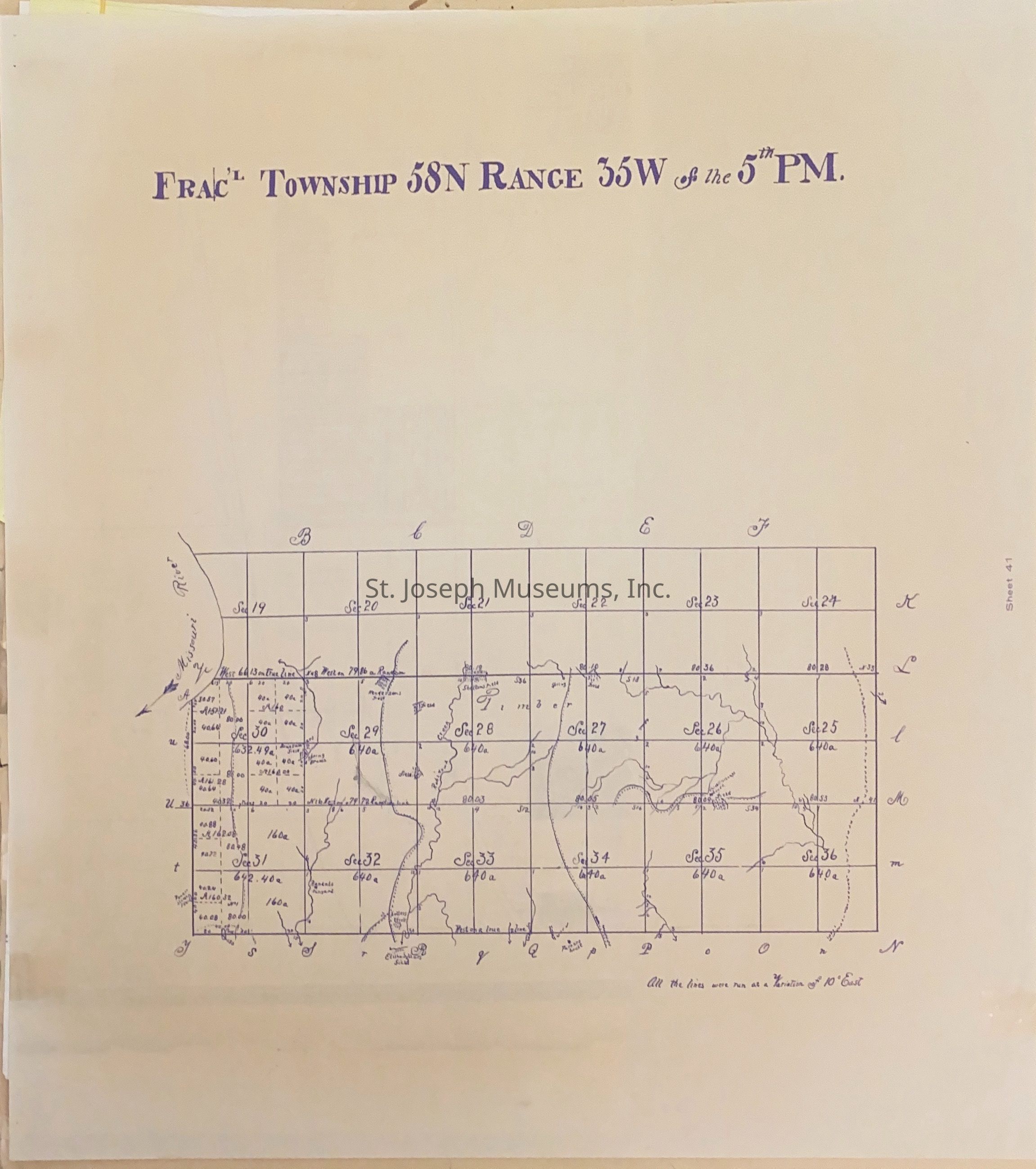
Atlas of Ownership Maps of Buchanan County is very useful. It covers all of Buchanan County. There are both modern day maps and original surveys. Each page is labeled by the legal description. In pages is handwritten note on Agency Ford.
18 x 18. 1978
Worksheet #12834
42/Loose pages in folder cover/Maps.
Lexicon
Nomenclature 4.0
Nomenclature Secondary Object Term
Atlas
Nomenclature Primary Object Term
Cartograph
Nomenclature Sub-Class
Graphic Documents
Nomenclature Class
Documentary Objects
Nomenclature Category
Category 08: Communication Objects
LOC Thesaurus for Graphic Materials
Maps
Search Terms
Buchanan County - Original Survey Maps, Buchanan County atlas, St. Joseph, Missouri, Buchanan County, Atlas