Name/Title
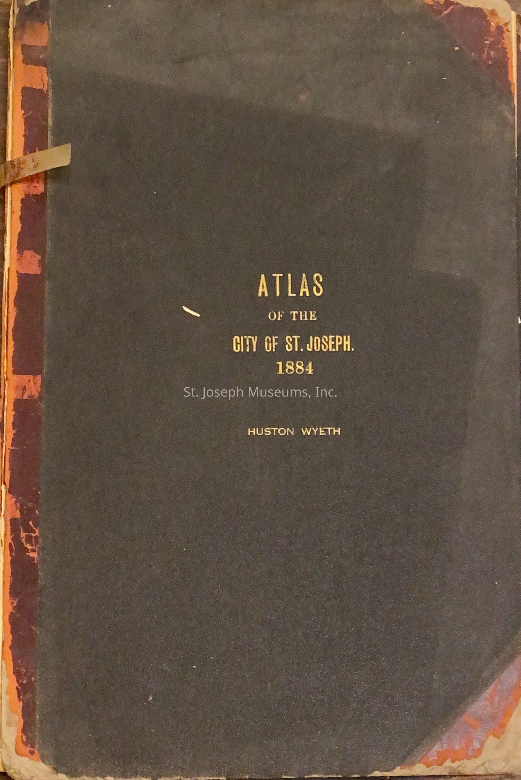
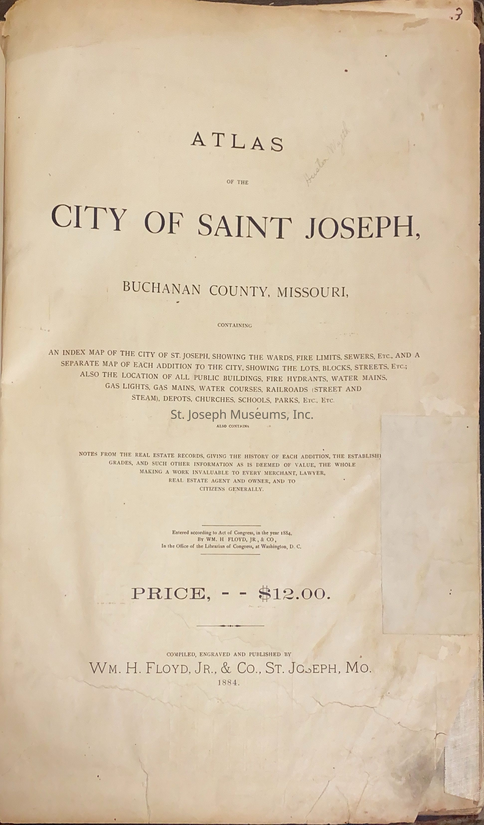
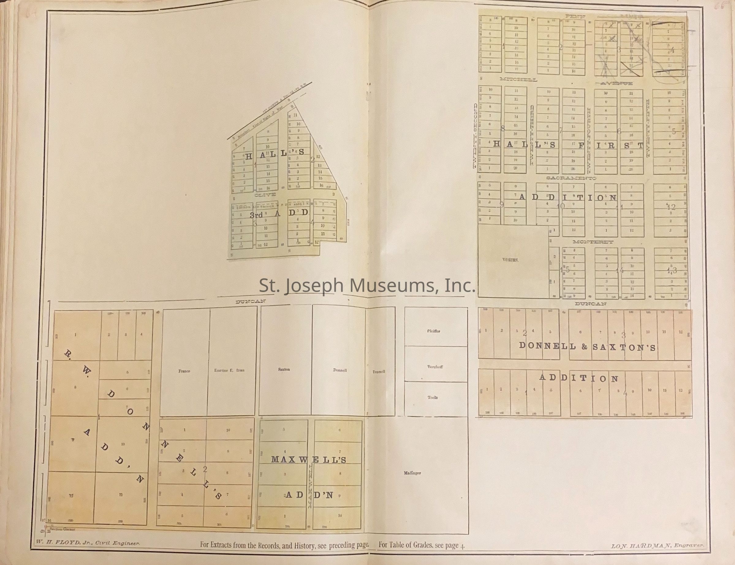
Atlas of the City of St. JosephEntry/Object ID
AM9999.356.16505Scope and Content
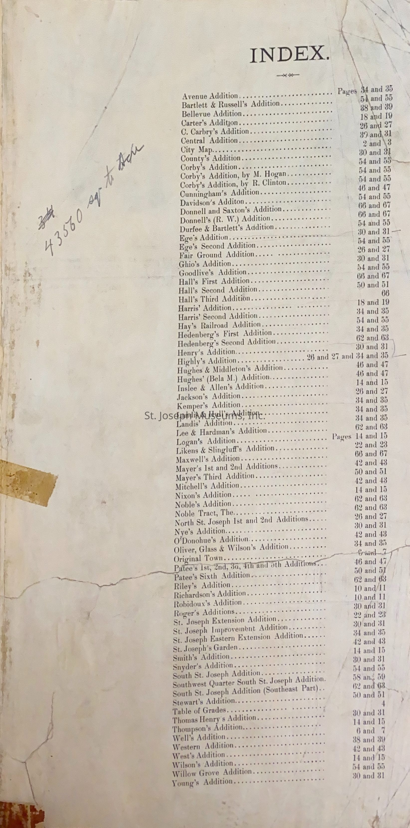
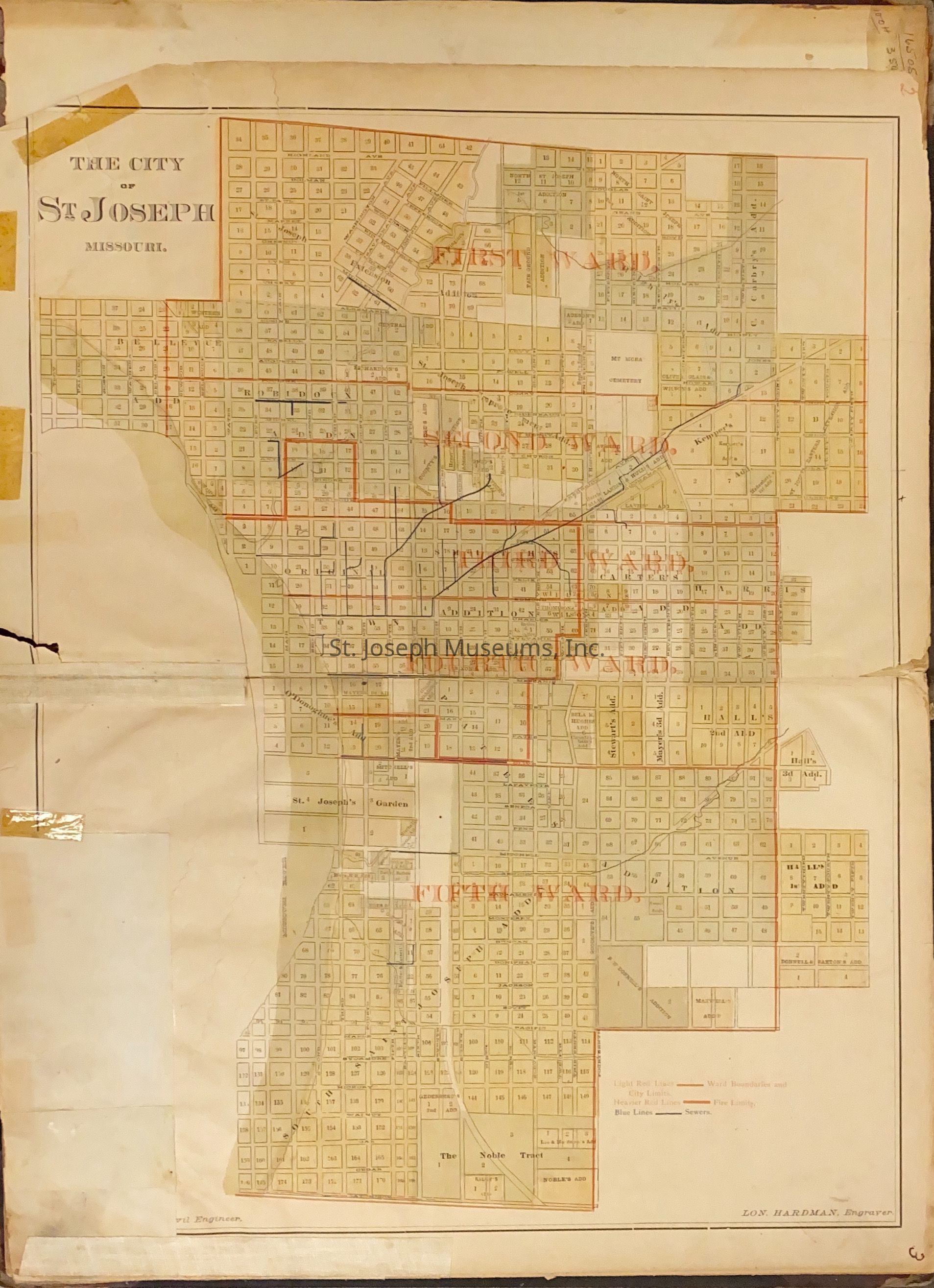
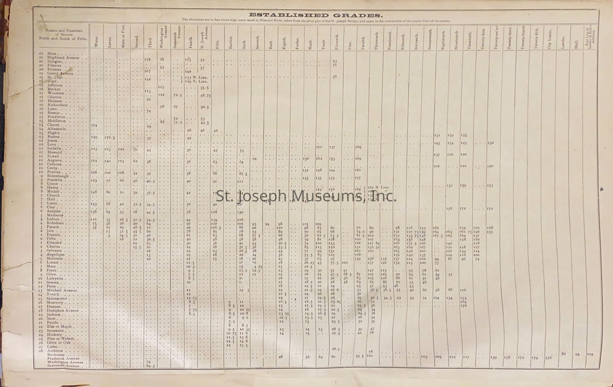
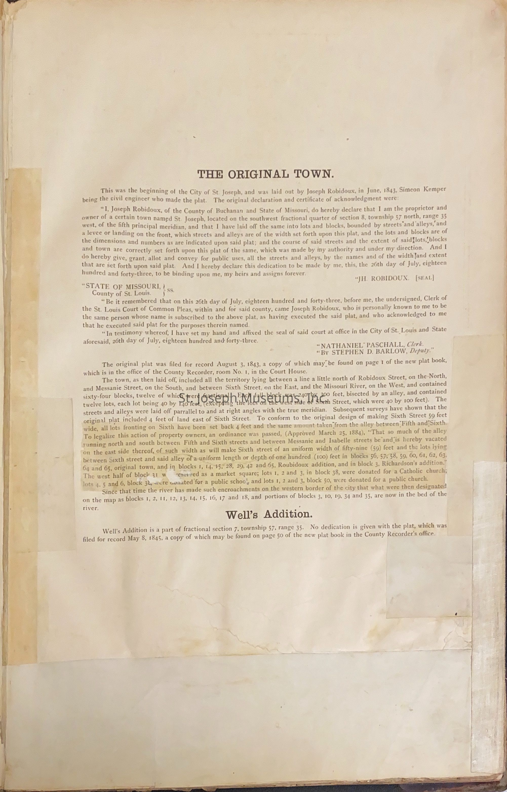
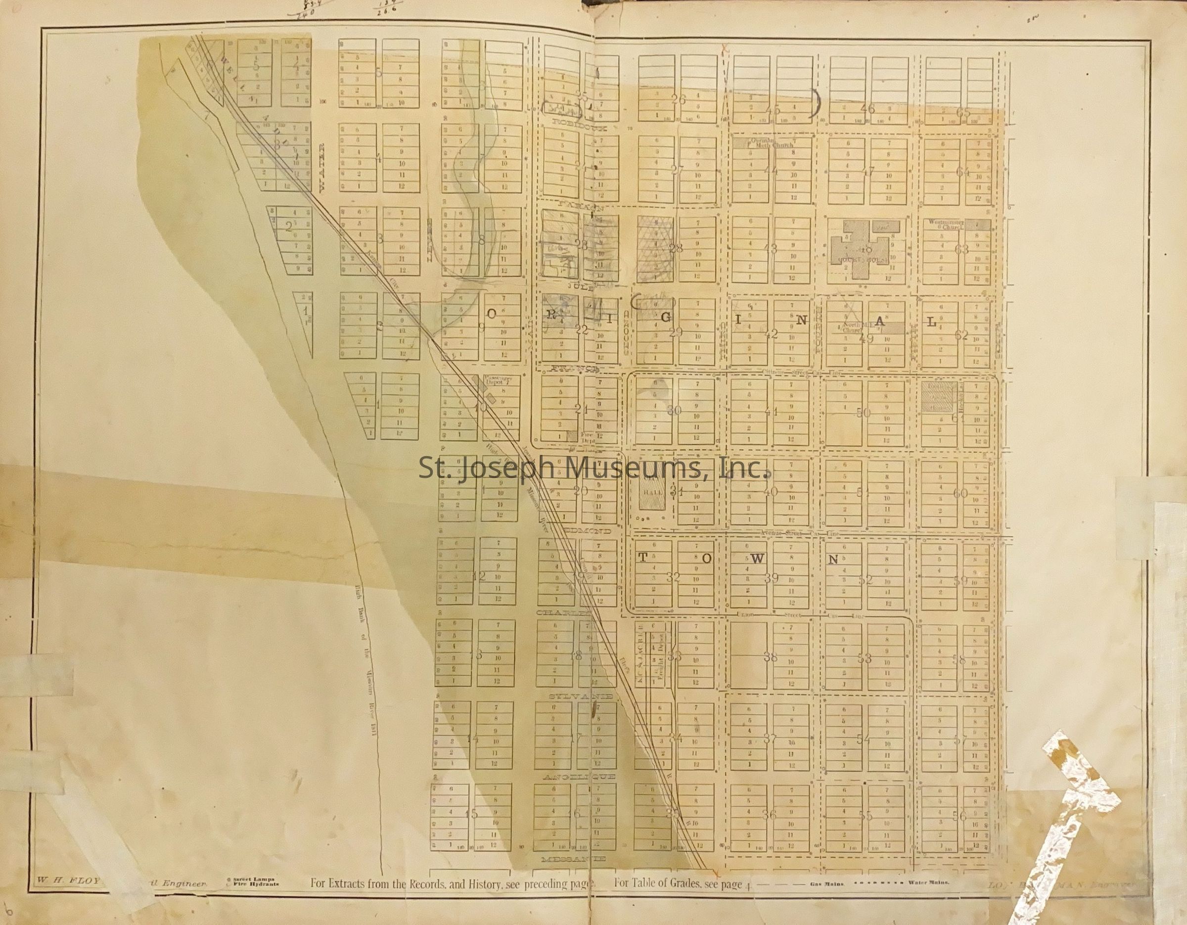
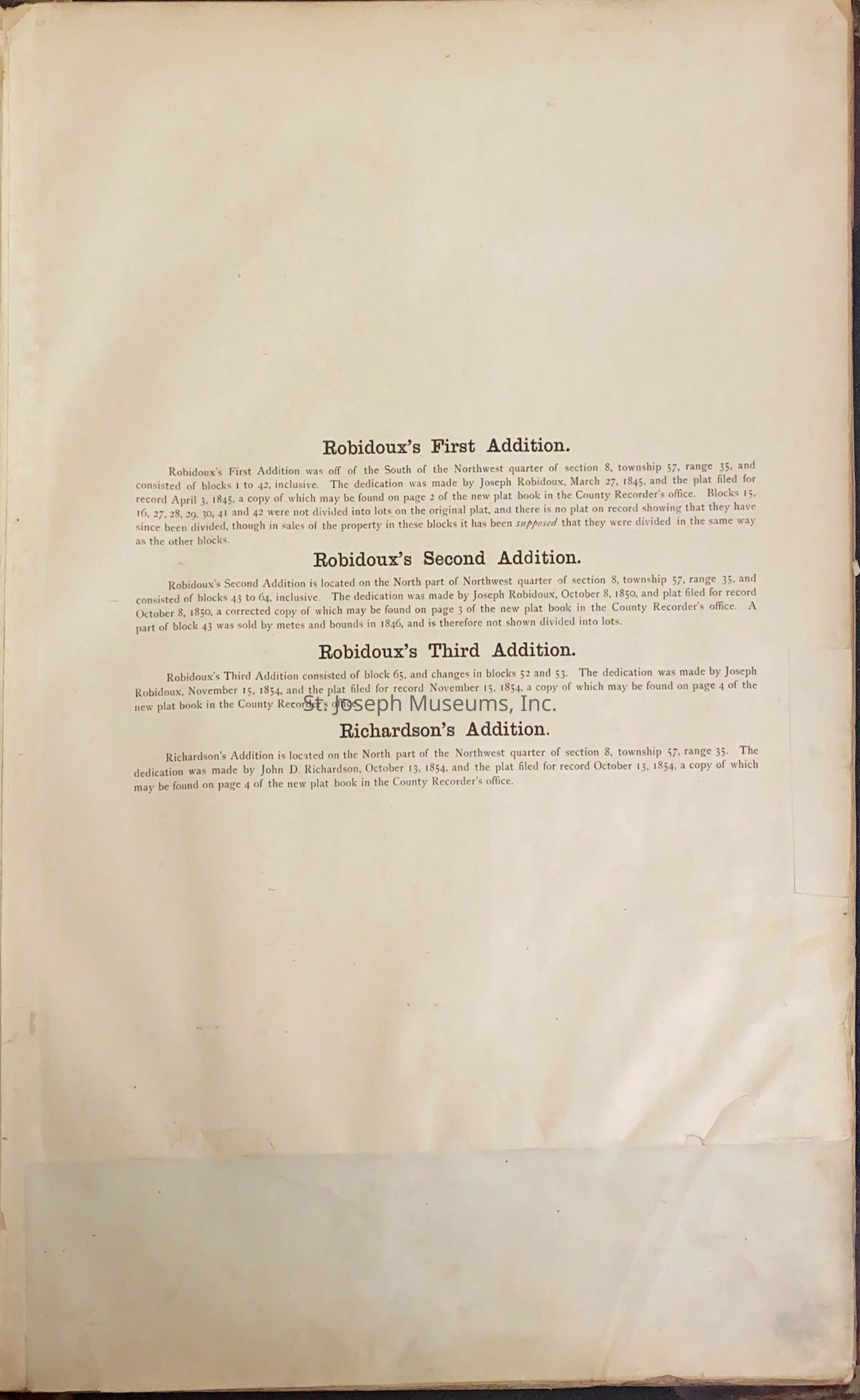
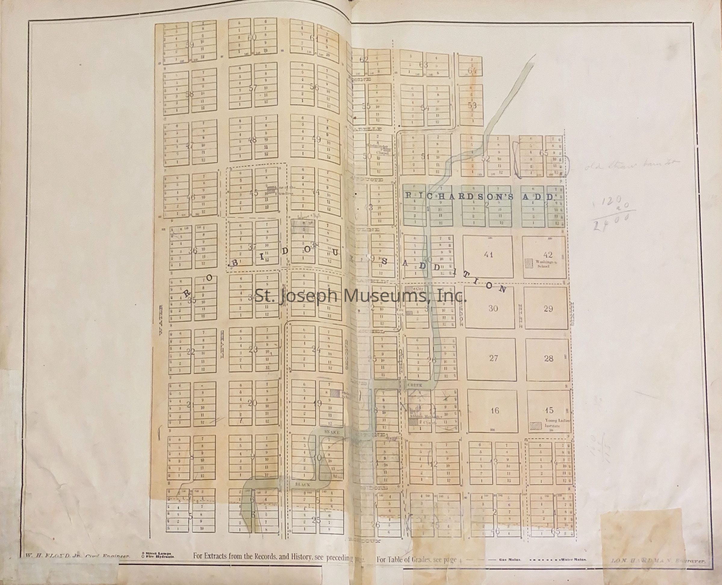
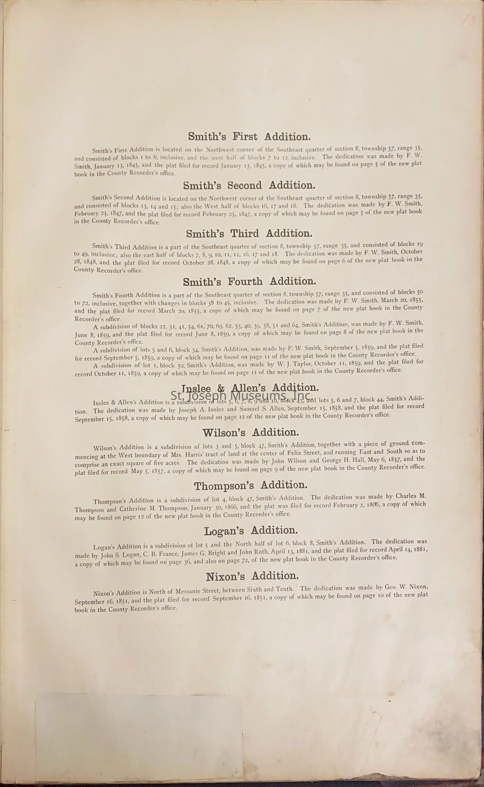
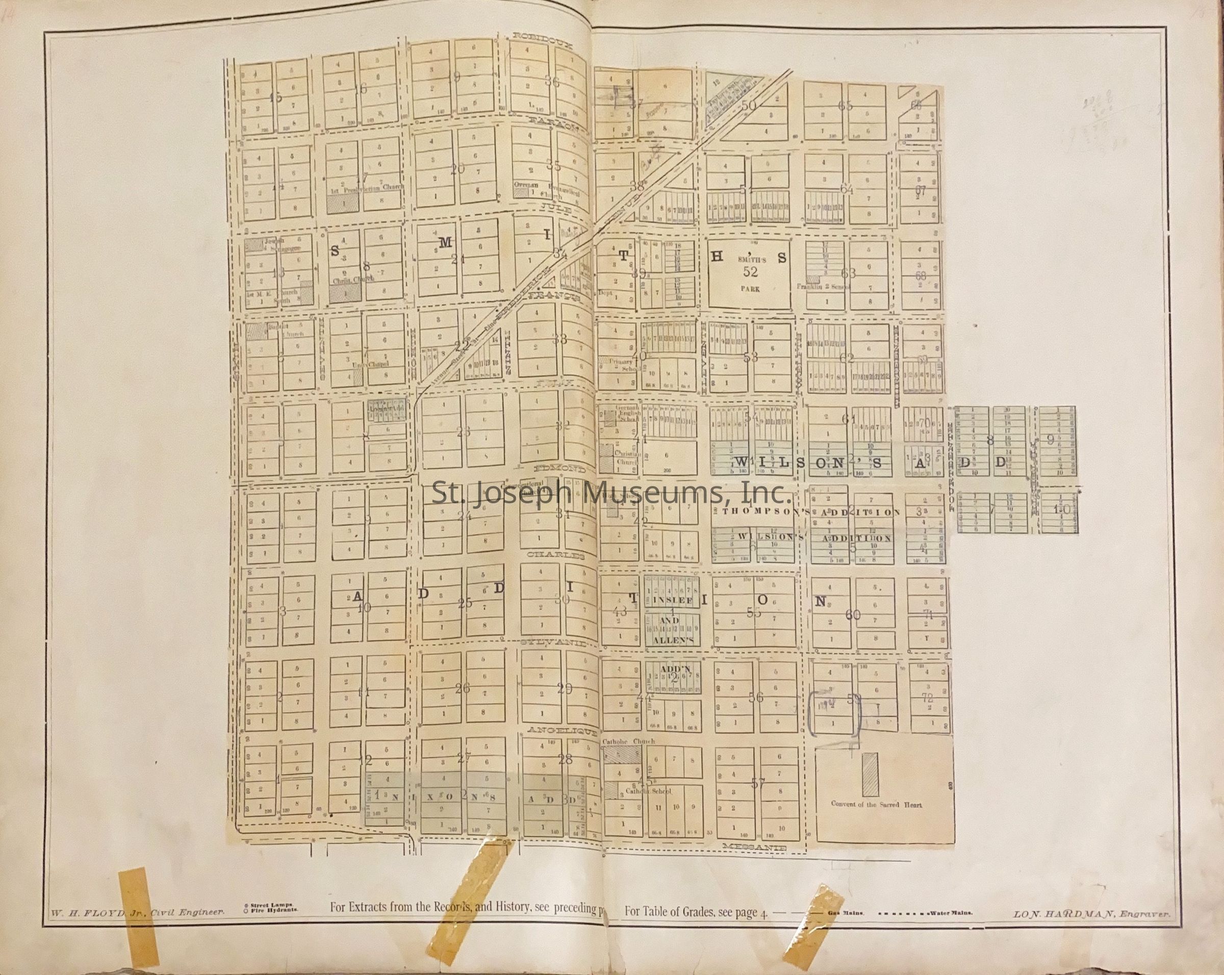
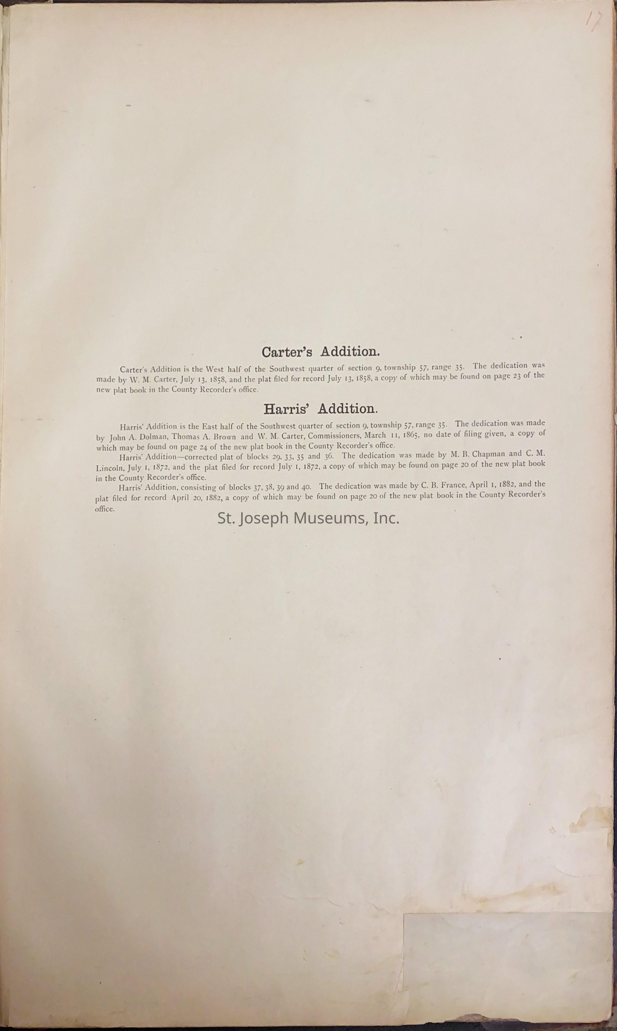
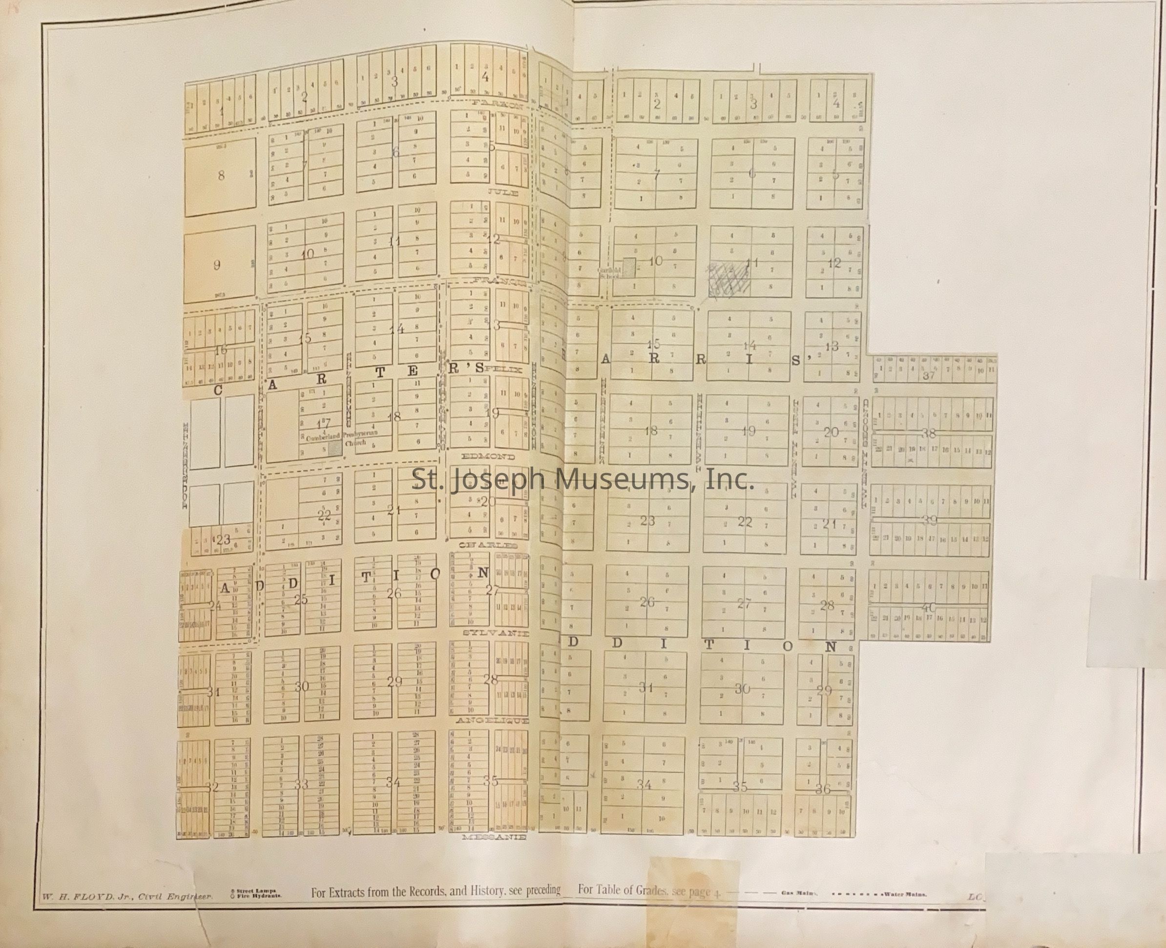
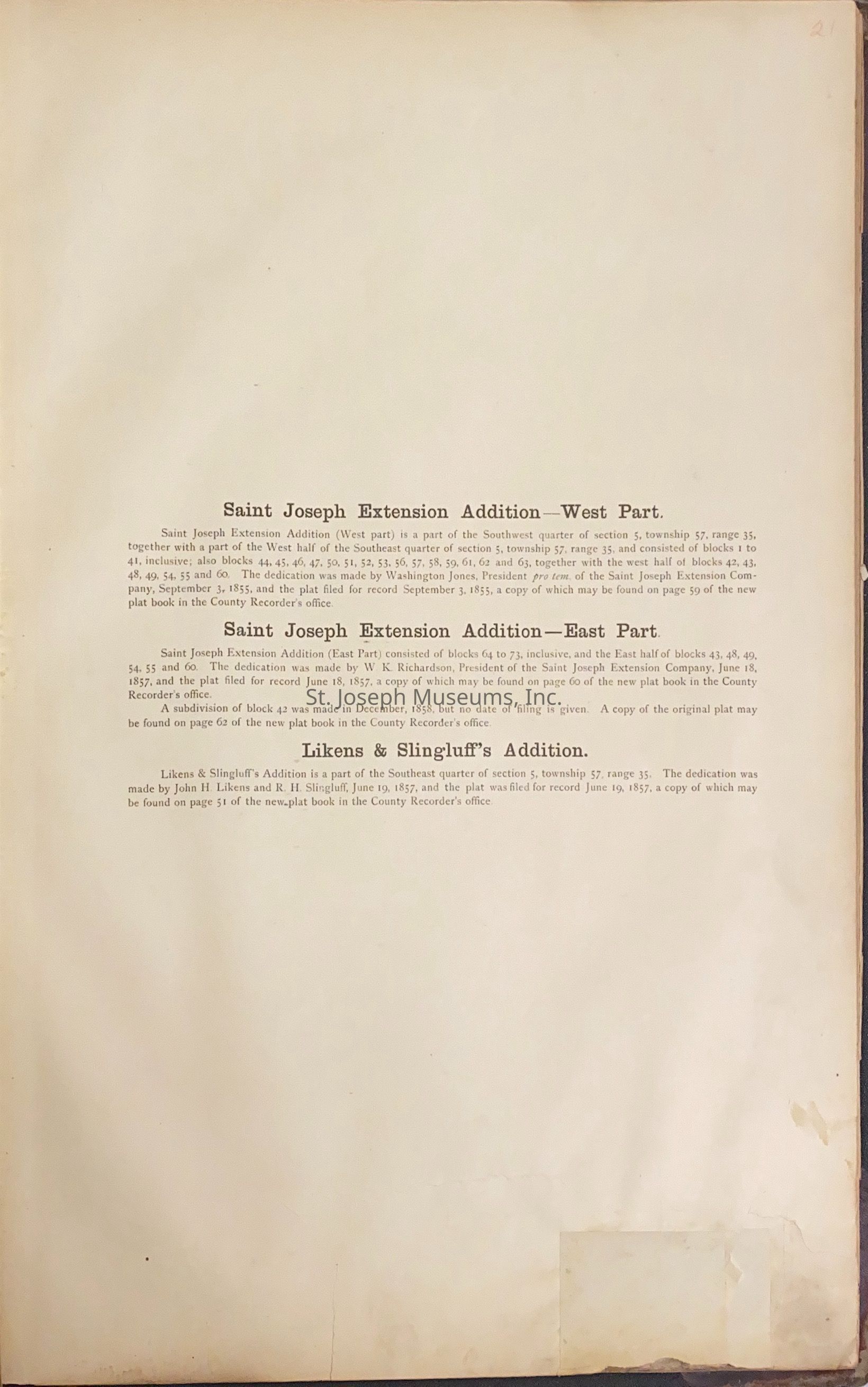
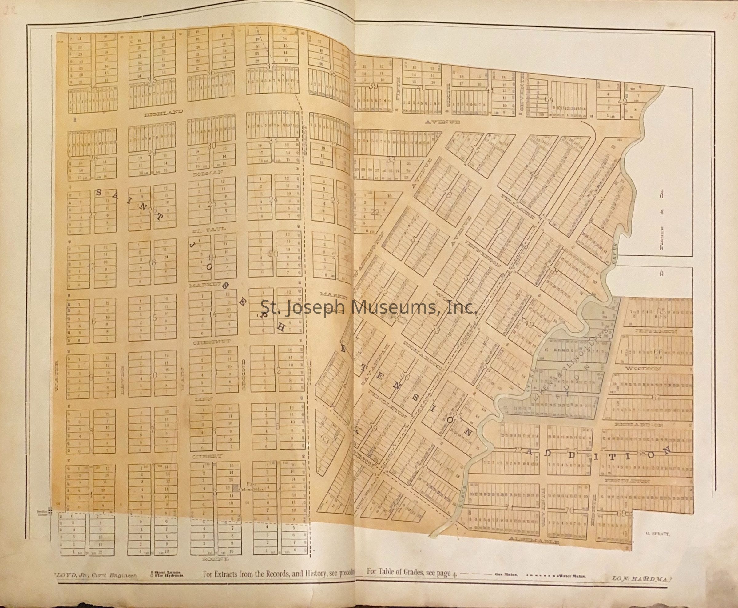
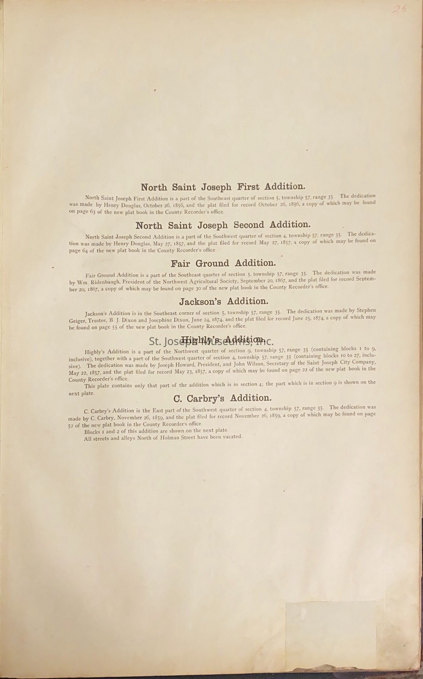
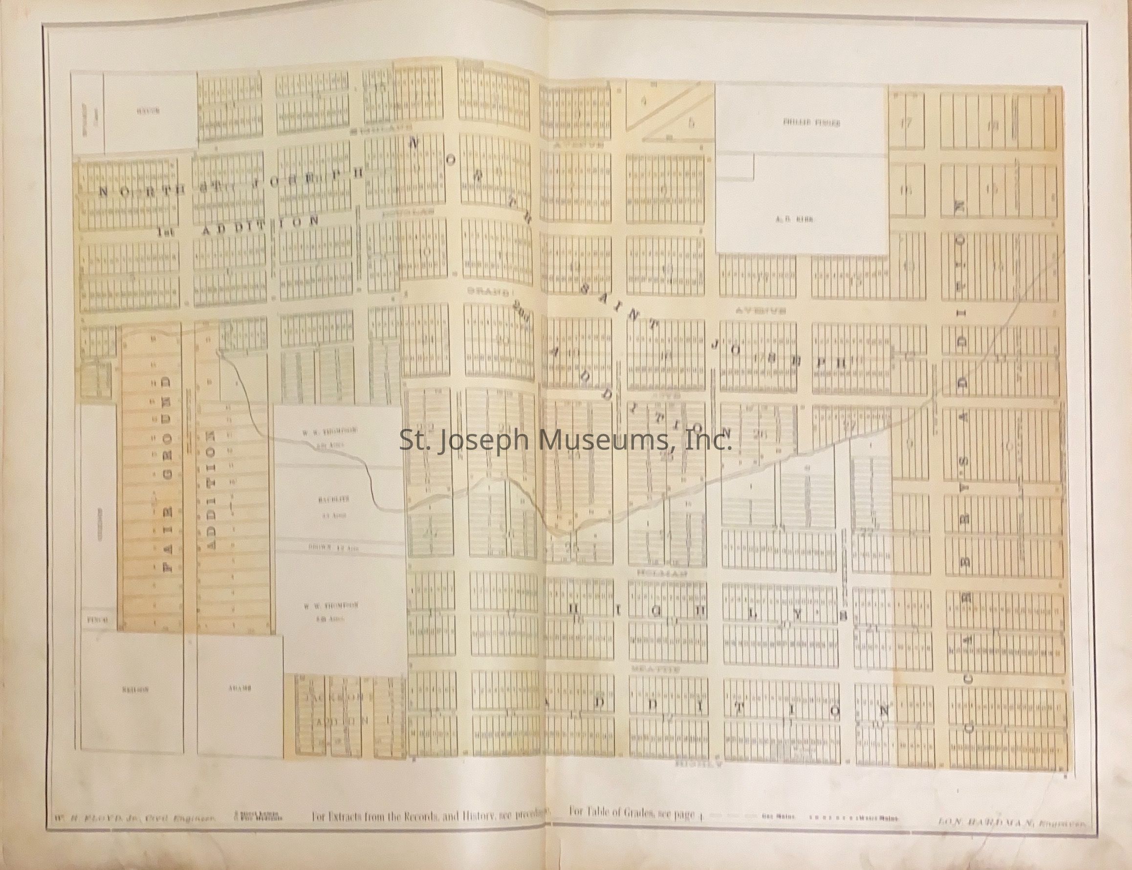
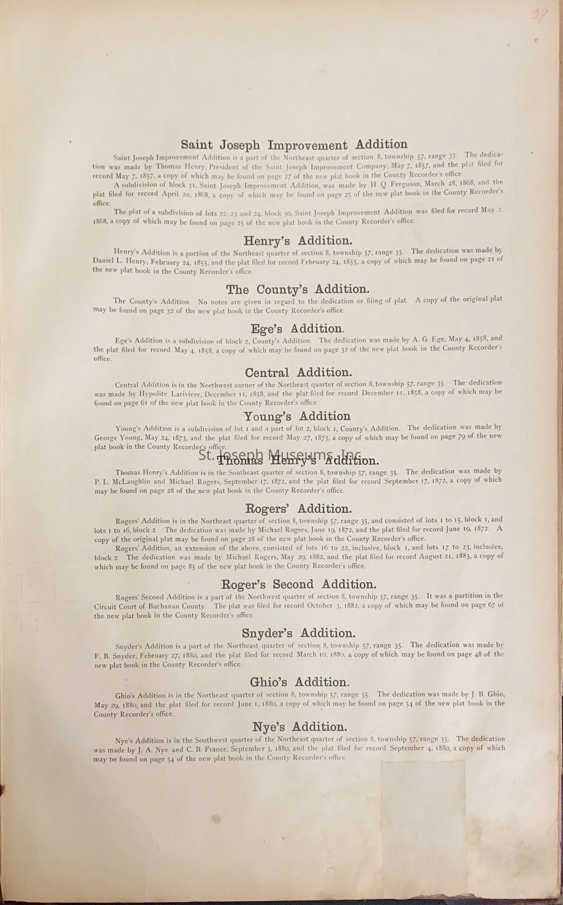
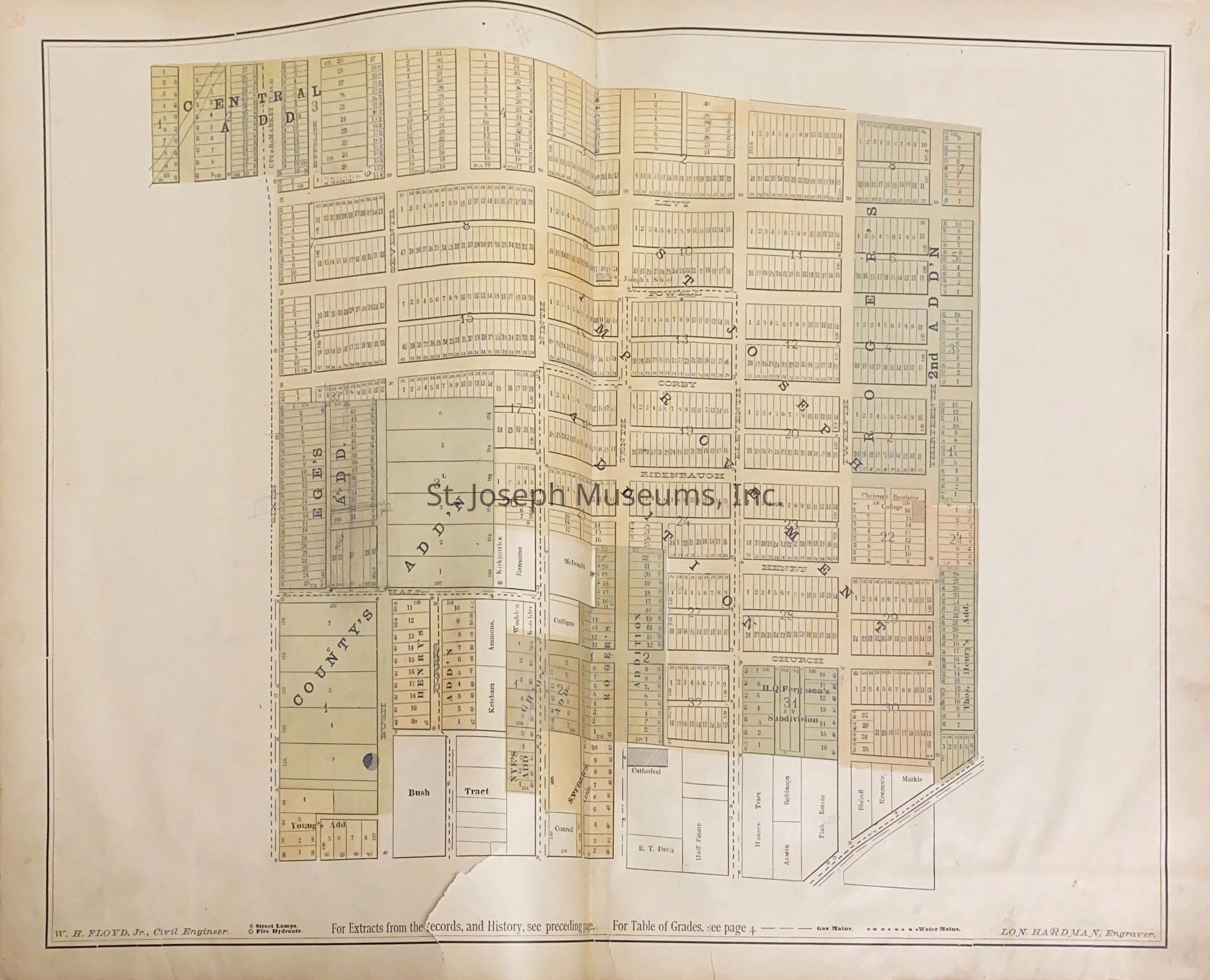
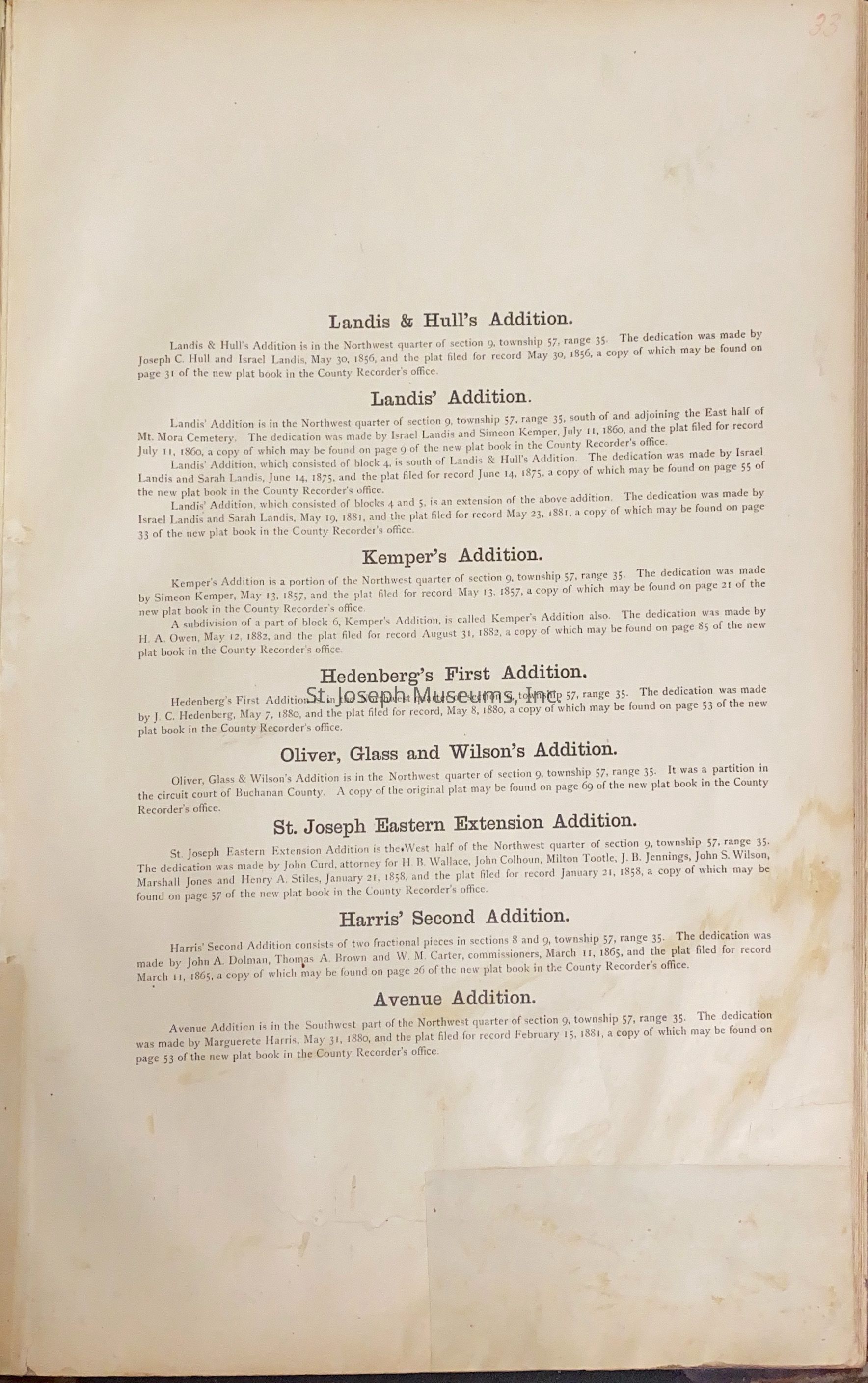
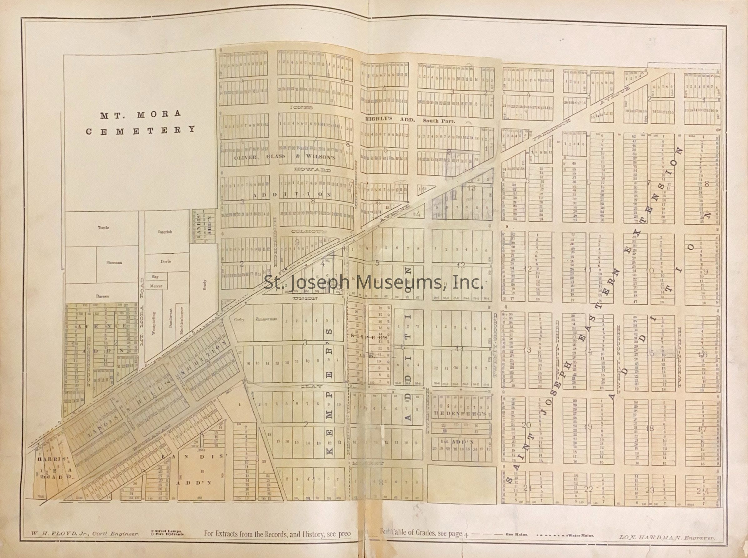
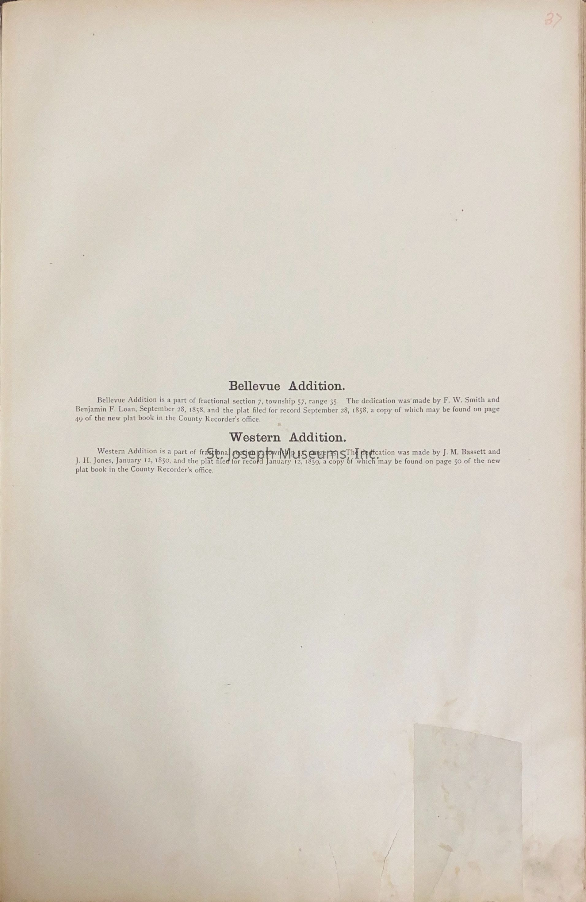
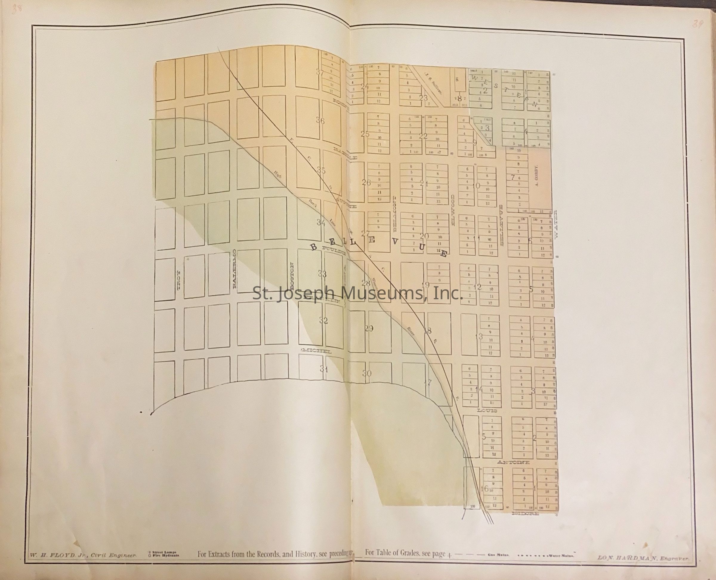
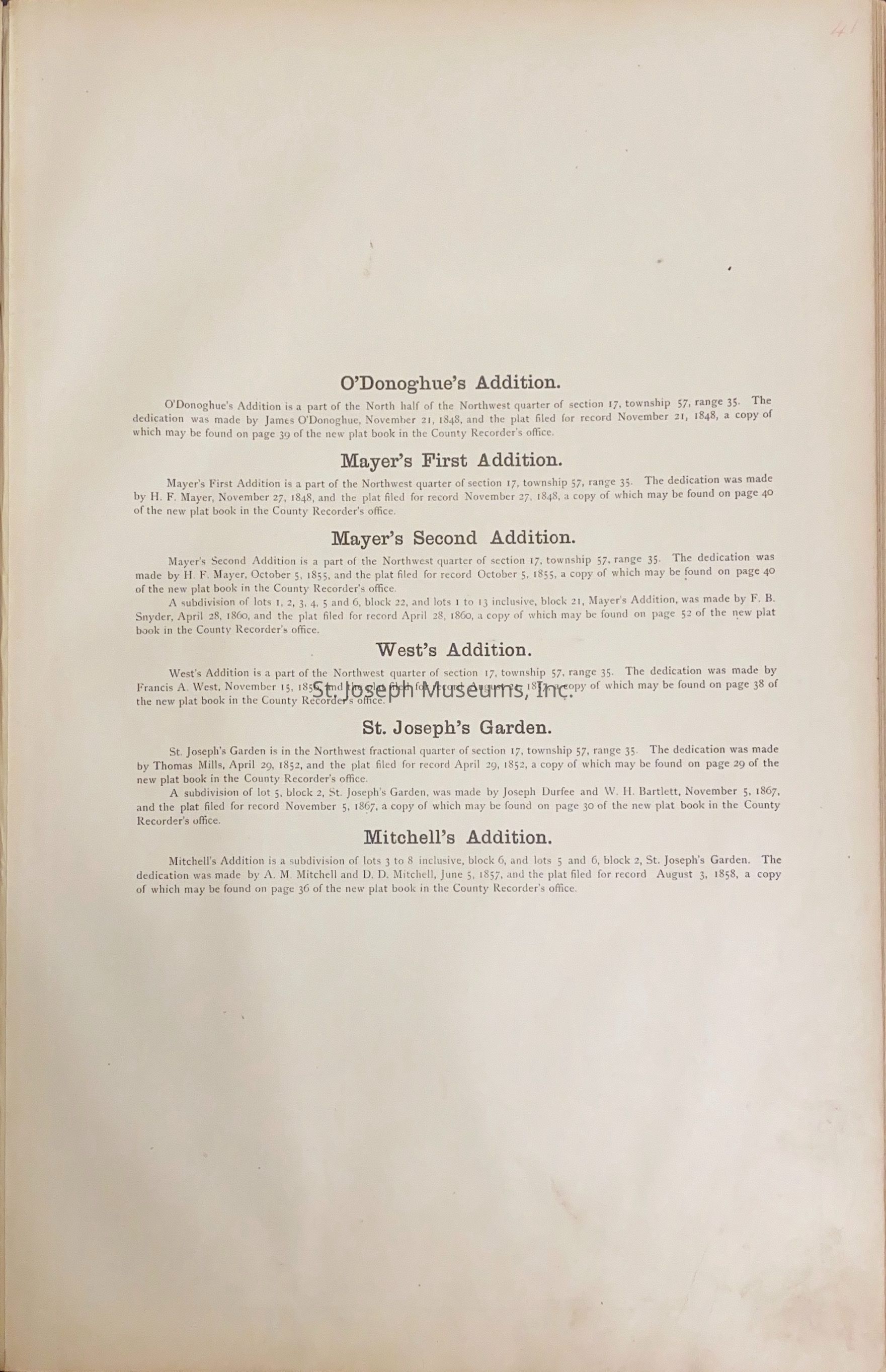
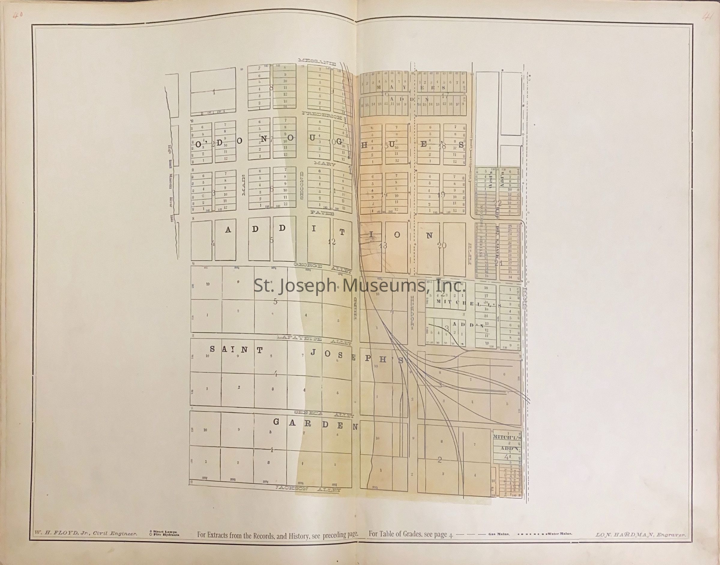
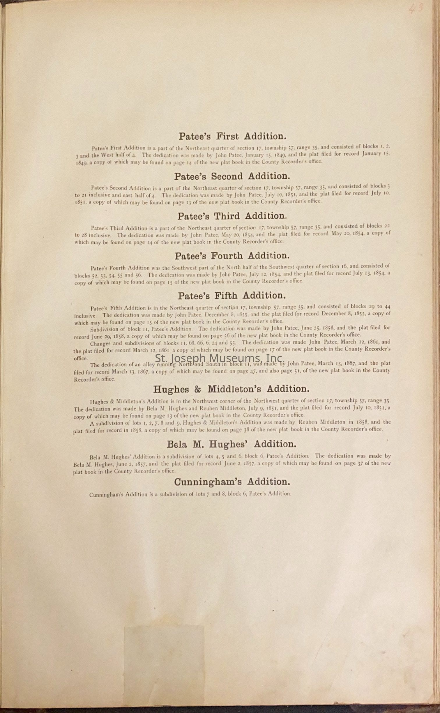
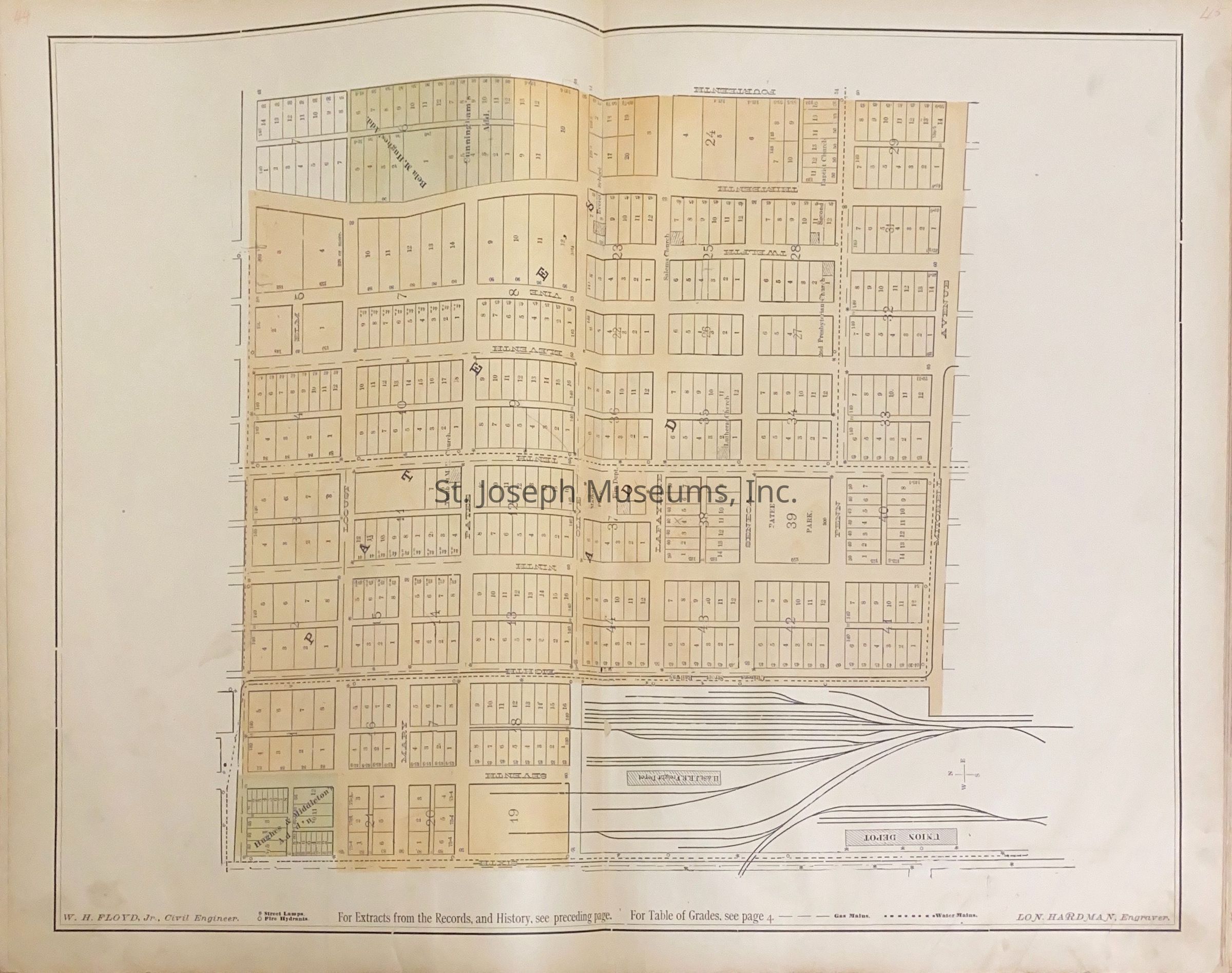
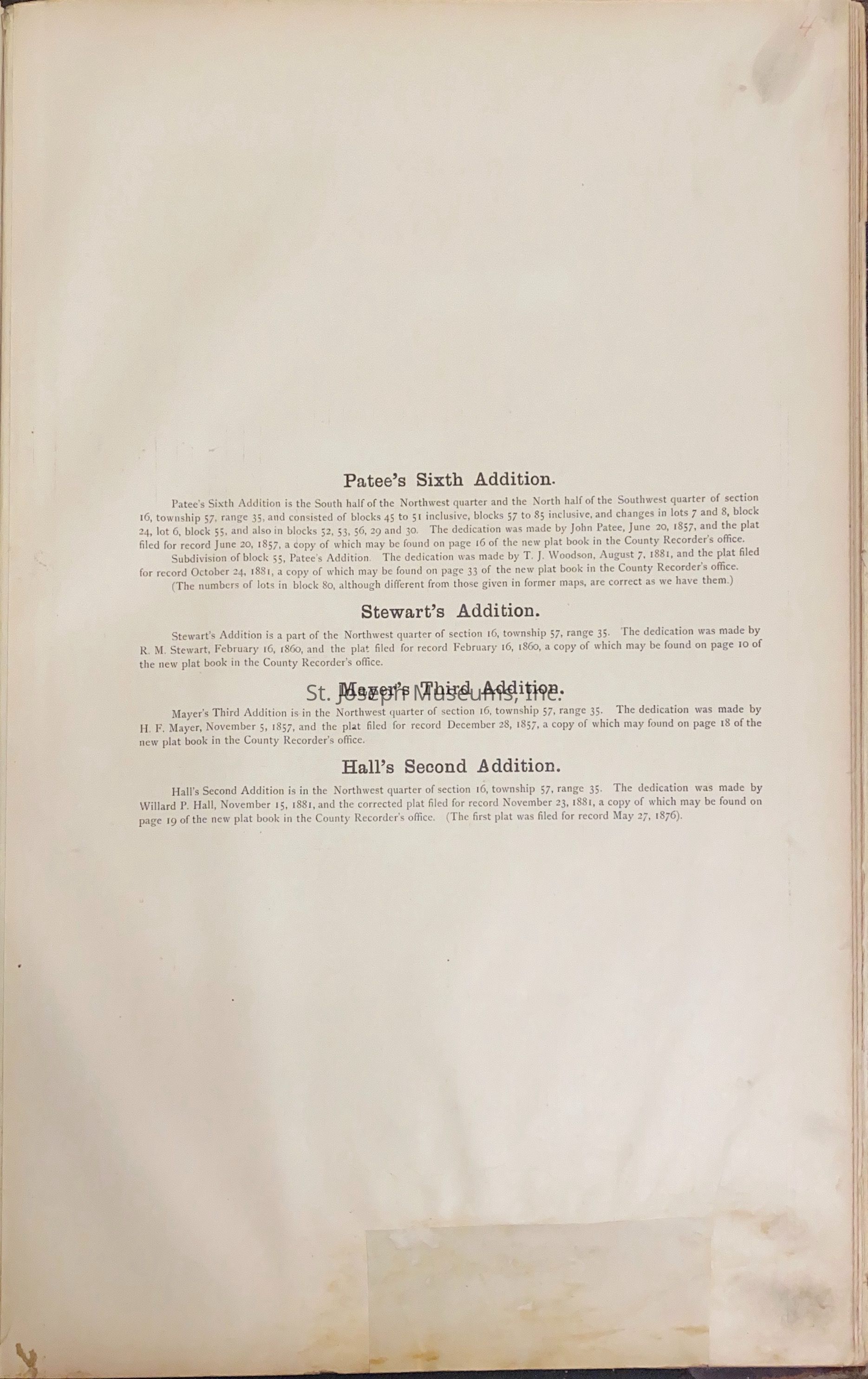
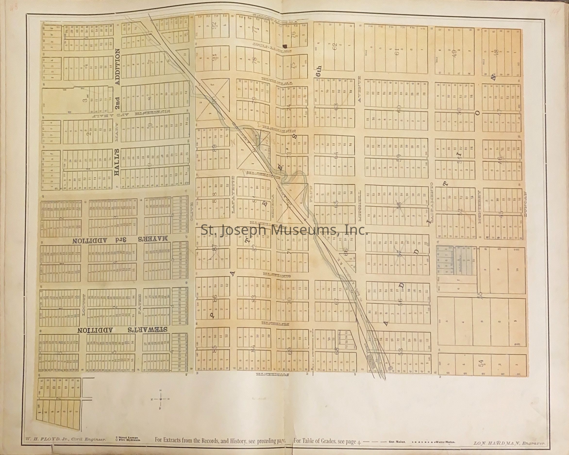
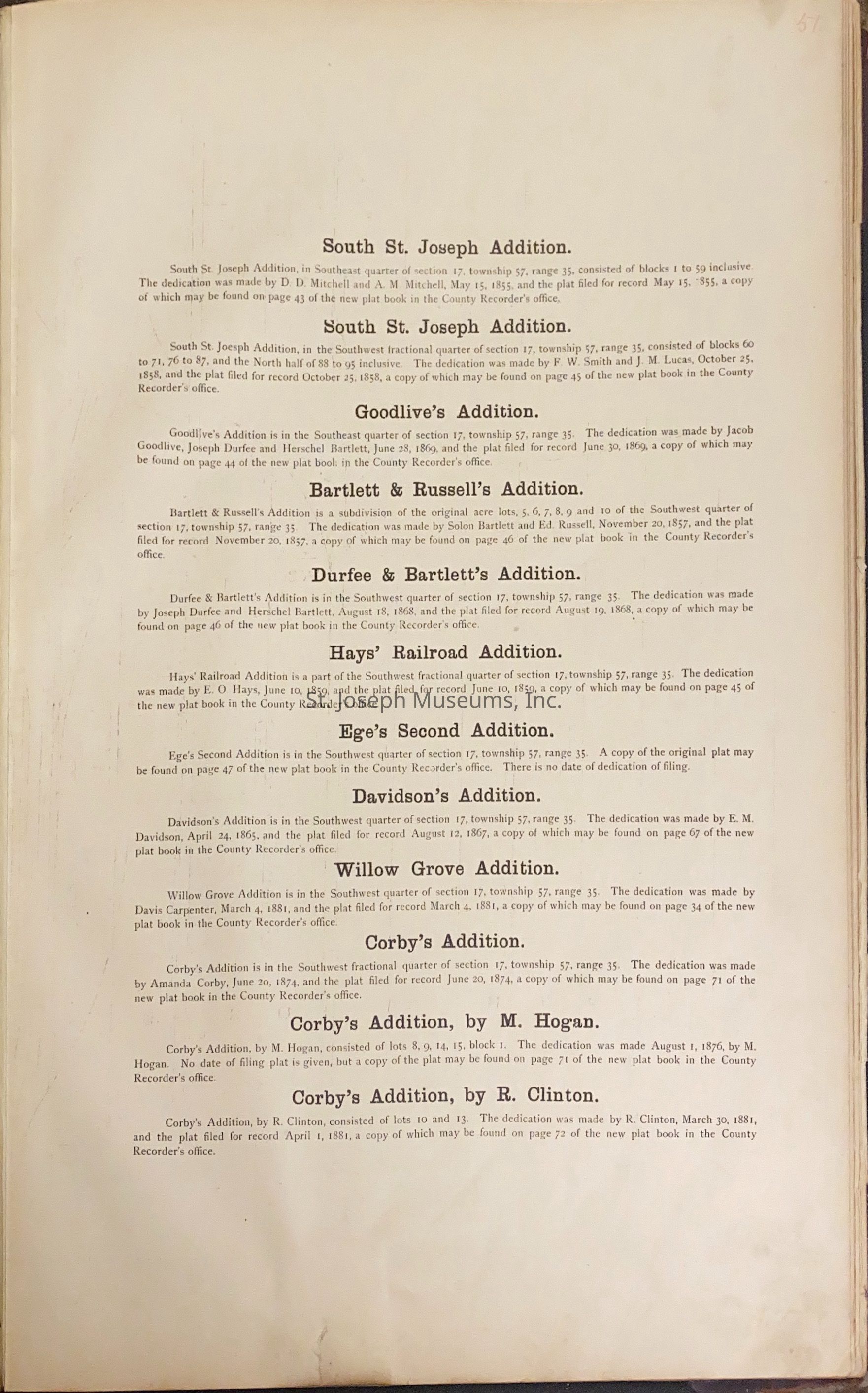
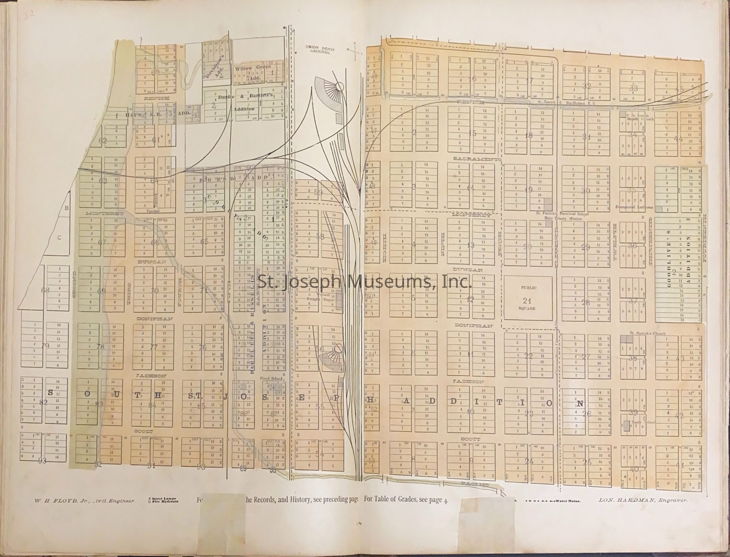
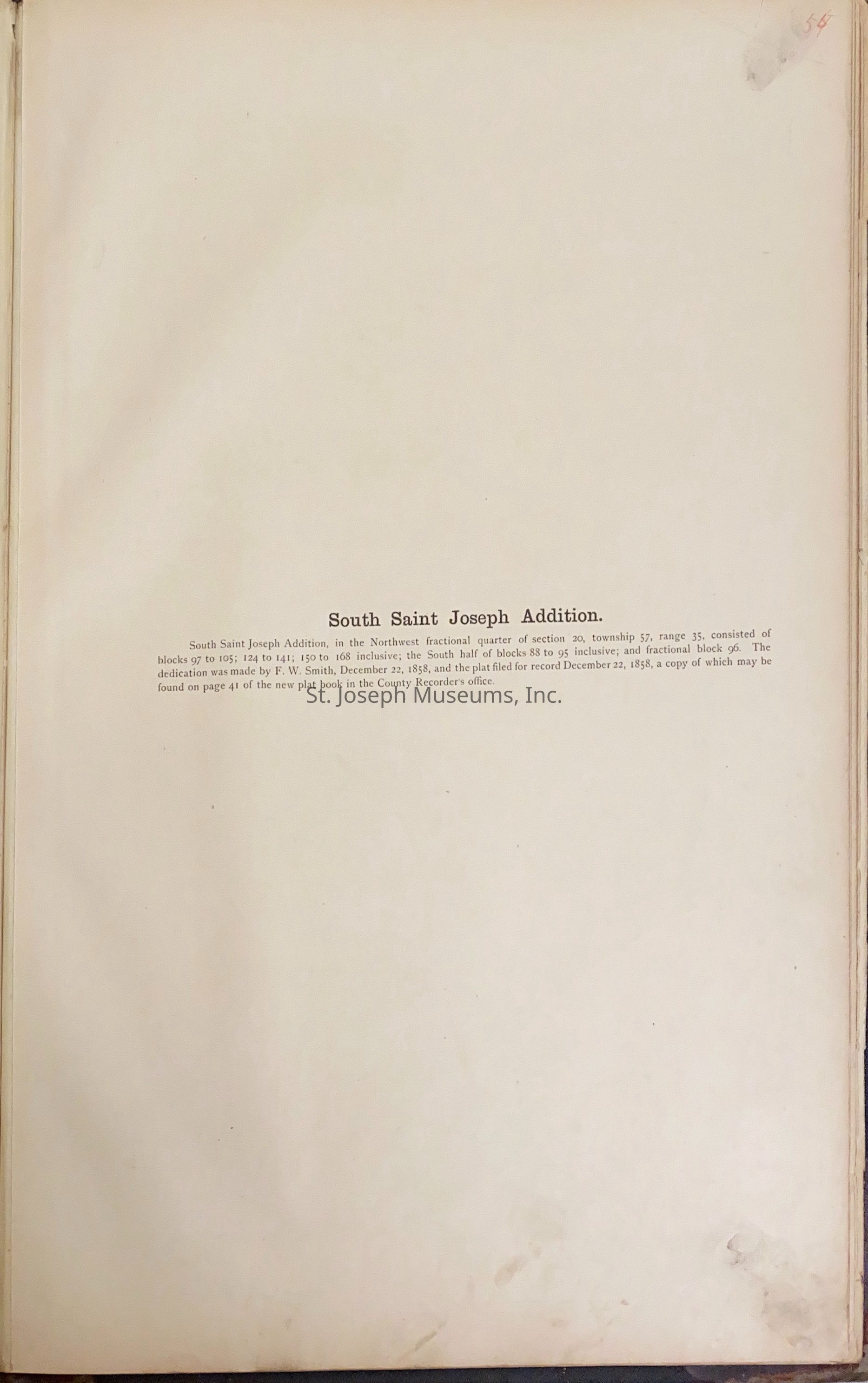
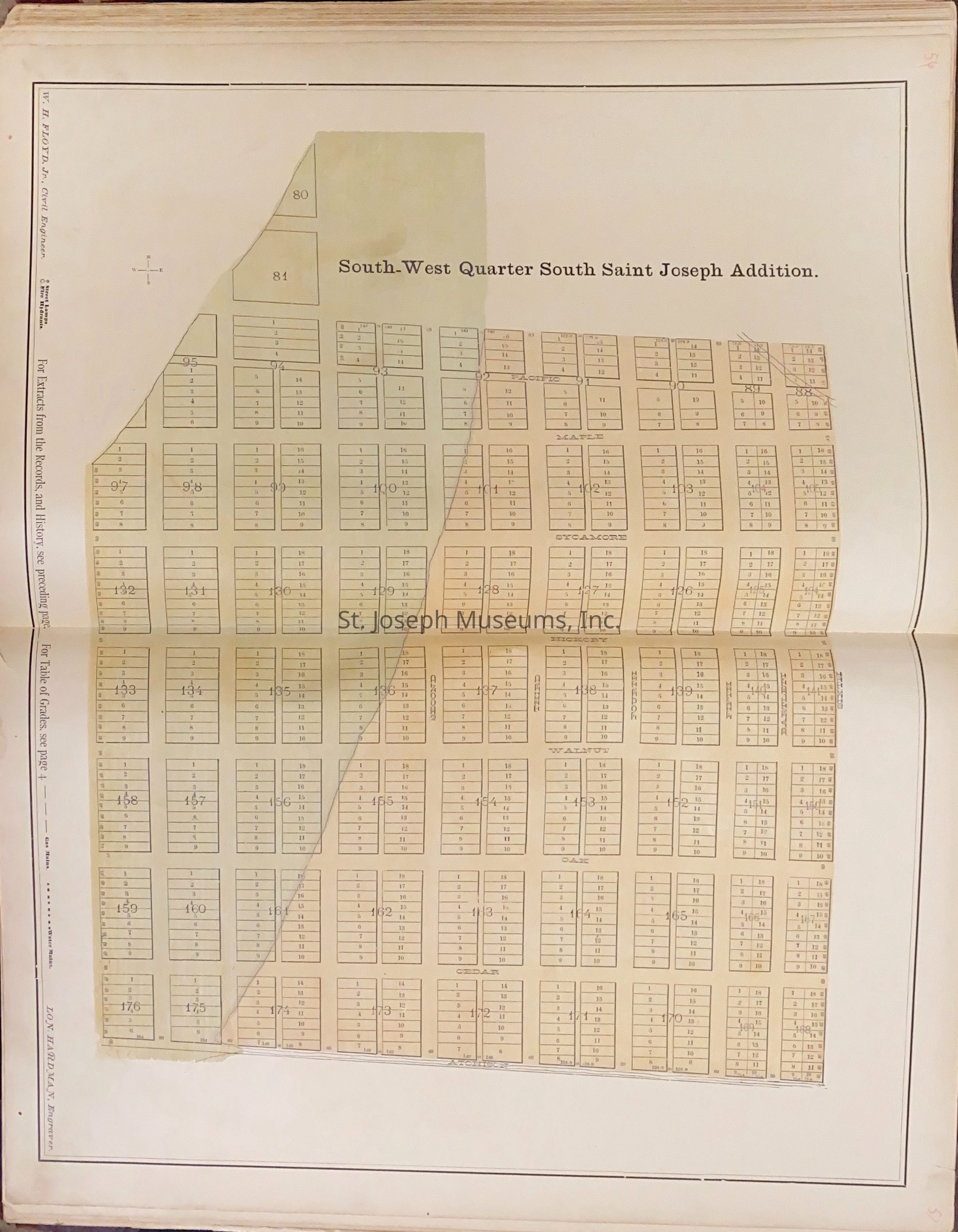
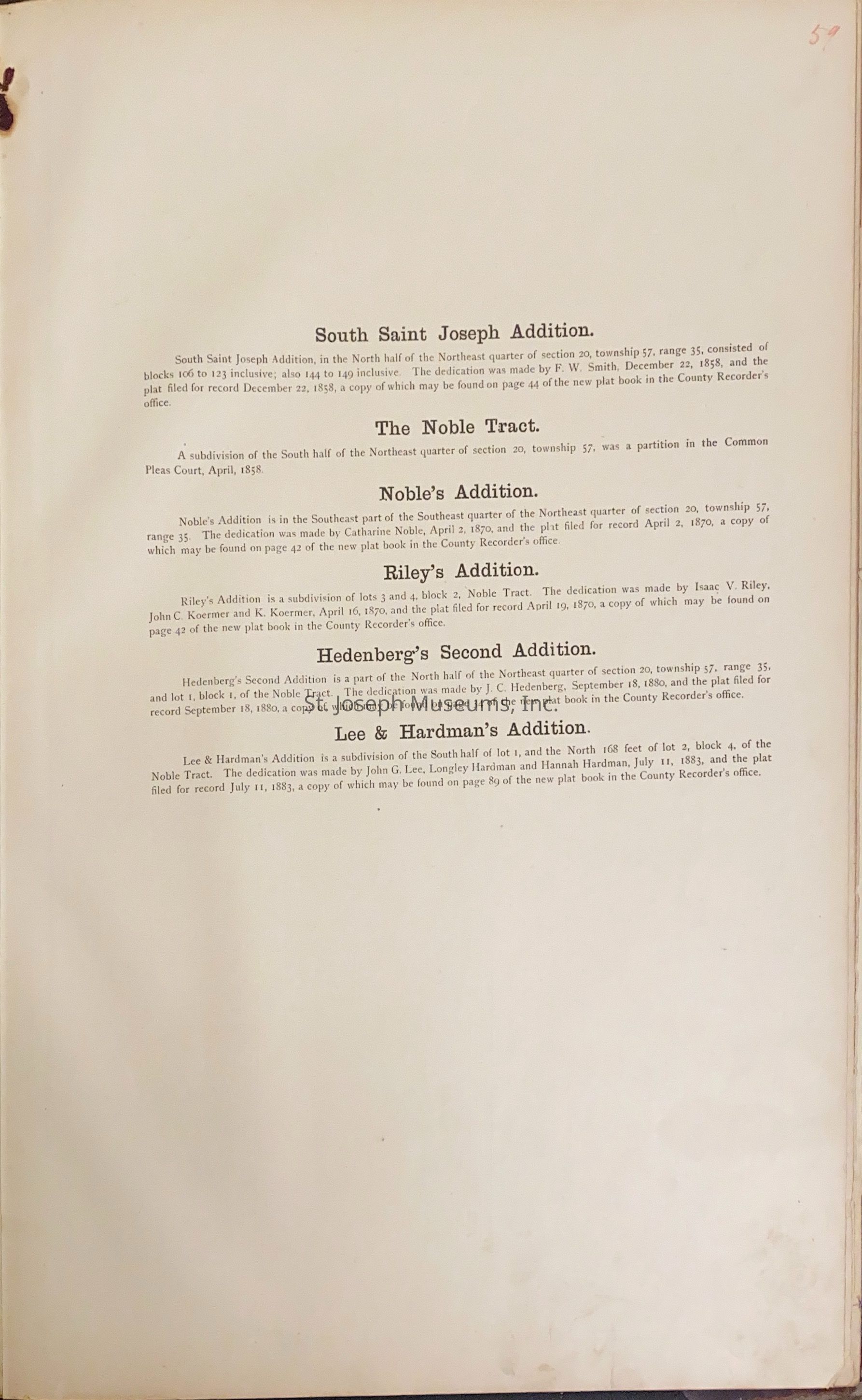
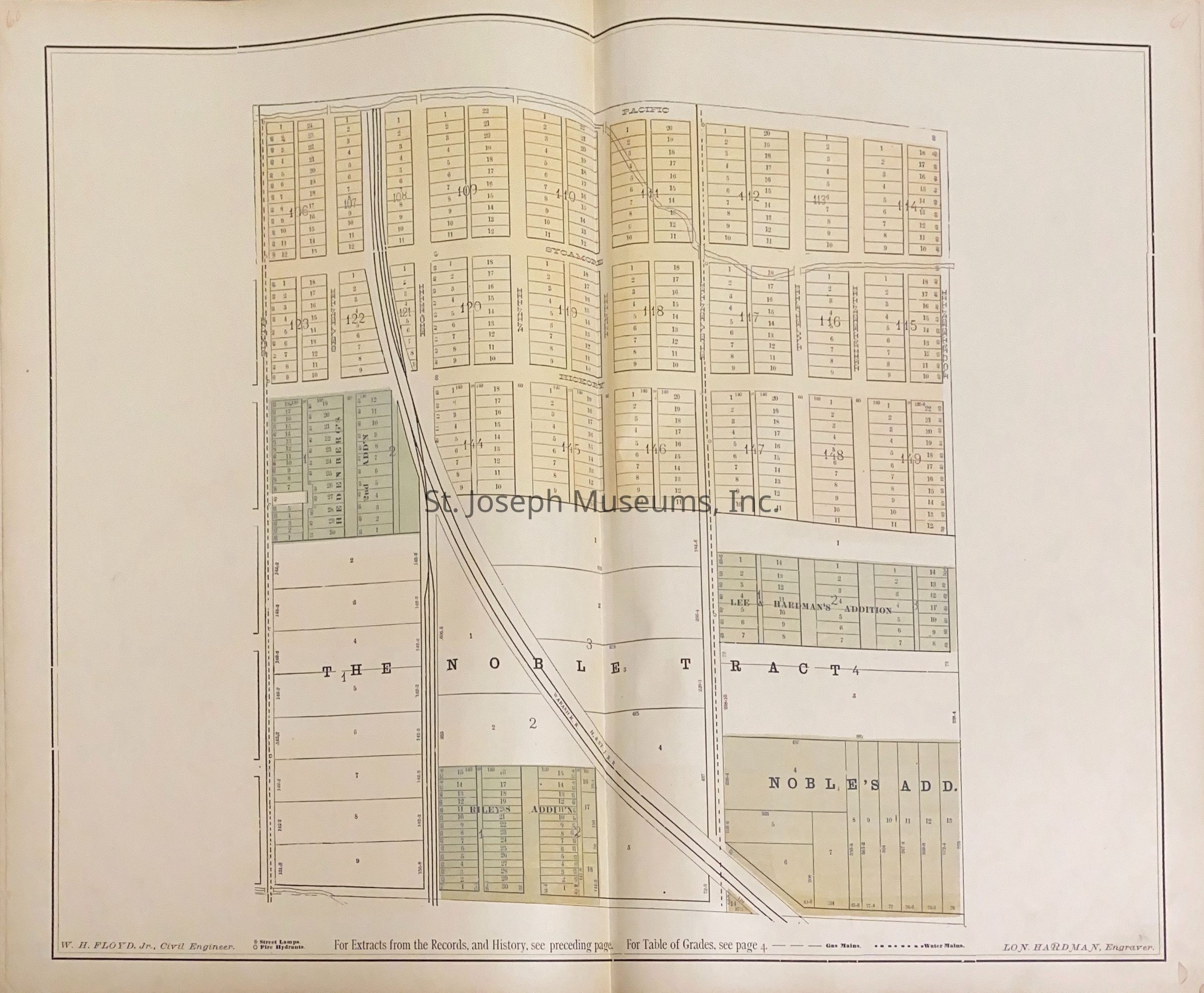
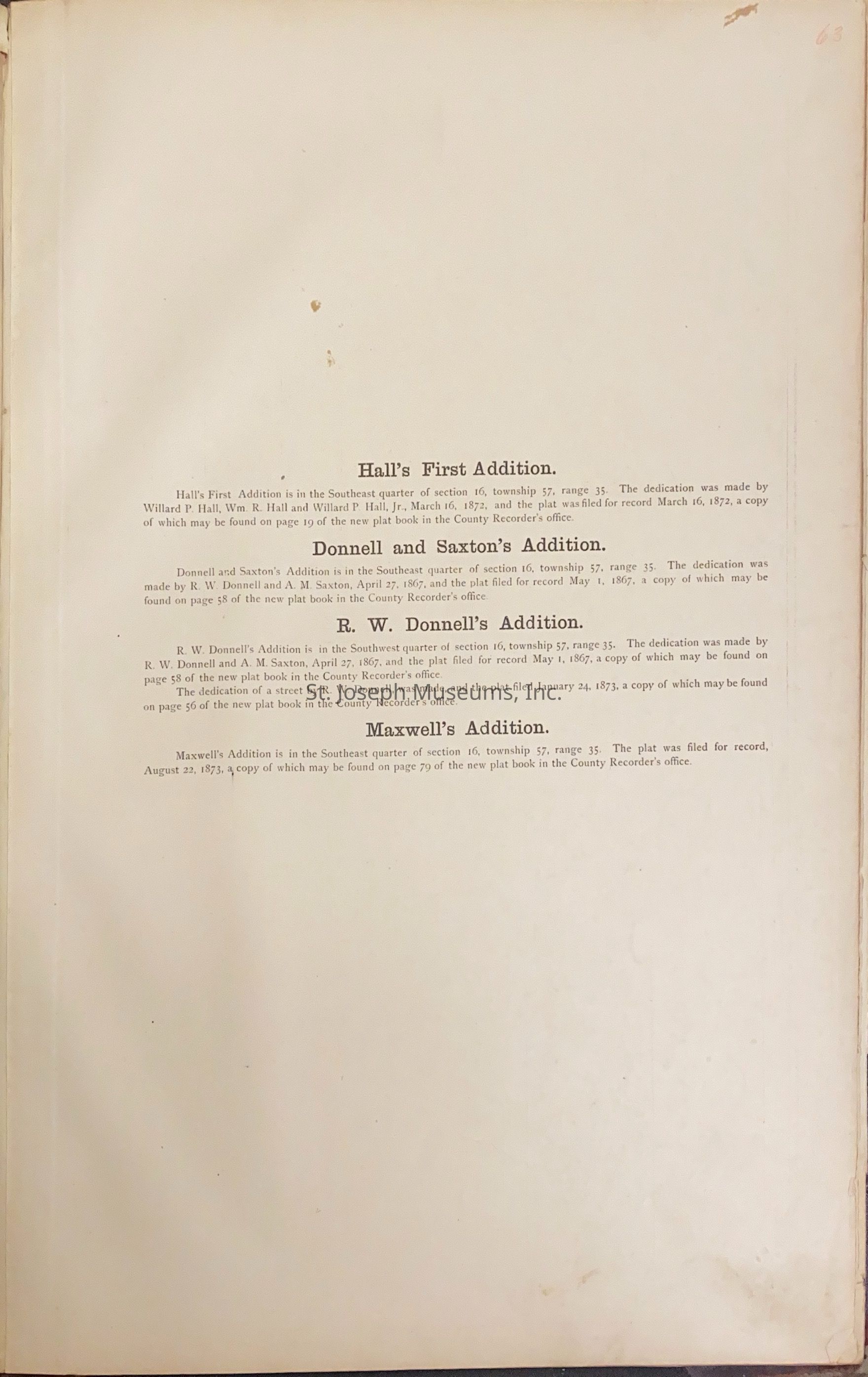
Atlas of the City of St. Joseph is an index to city showing ward, fire limits, sewers, etc. and a separate map of each addition th the city, showing the lots, blocks, streets etc. Also location of all public buildings, fire hydrants, water mains, gas lights, gas mains, water courses, railroads (street and steam), depots, churches, schools, partks, etc. Book also has notes from real estate records giving history of each addition. For each map there is a reference to plat book in County records office.
Huston Wyeth is engraved on cover under the titel.Lexicon
Nomenclature 4.0
Nomenclature Secondary Object Term
AtlasNomenclature Primary Object Term
CartographNomenclature Sub-Class
Graphic DocumentsNomenclature Class
Documentary ObjectsNomenclature Category
Category 08: Communication ObjectsLOC Thesaurus for Graphic Materials
MapsSearch Terms
St. Joseph Map, 1884