HUB
Collections
Classifications
About
App
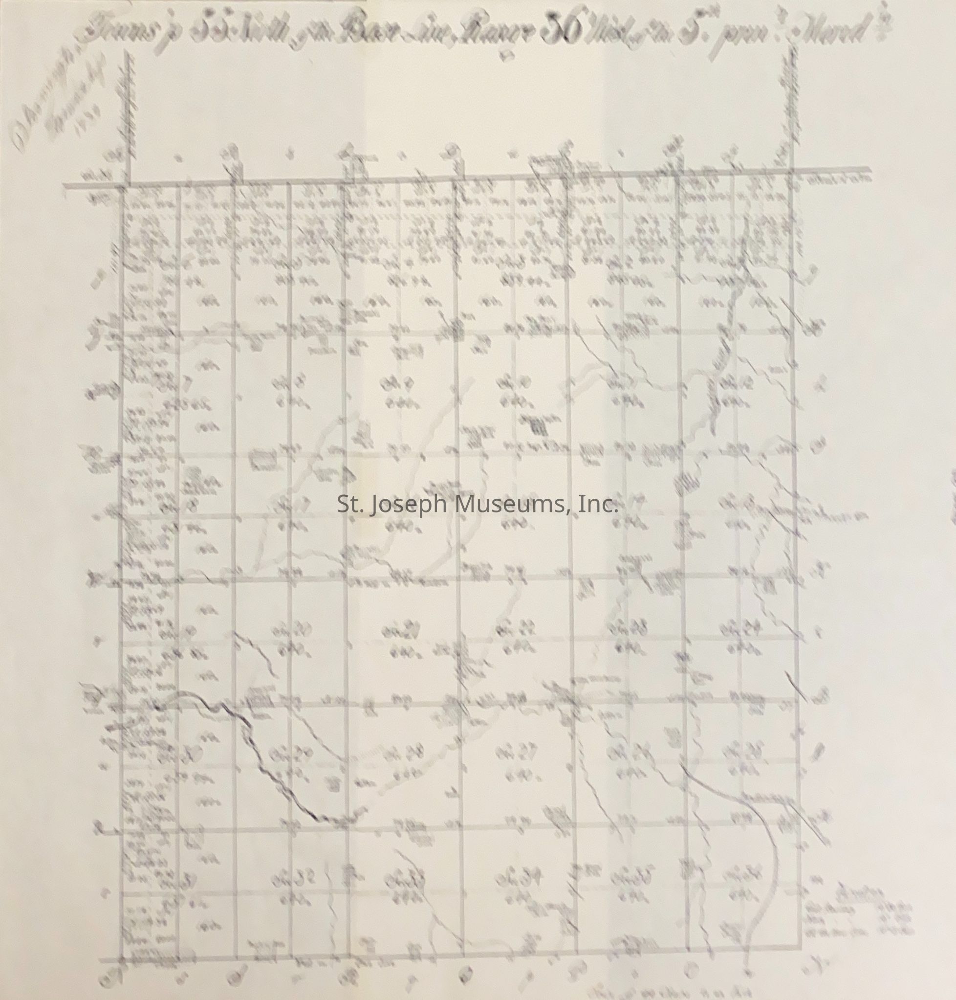
Buchanan County, Bloomington Township, Survey Map, 1839
Archive
-
St. Joseph Museums
Name/Title
Buchanan County, Bloomington Township, Survey Map, 1839
Entry/Object ID
AM2019.1.31
Scope and Content
Buchanan County, Bloomington Township, Survey Map, 1839. "Twp 55N of the Base Line, Range 36 West of the 5th Prim' Meridian." Sheet No. 28.
Lexicon
Nomenclature 4.0
Nomenclature Secondary Object Term
Map
Nomenclature Primary Object Term
Cartograph
Nomenclature Sub-Class
Graphic Documents
Nomenclature Class
Documentary Objects
Nomenclature Category
Category 08: Communication Objects
Search Terms
Buchanan County Survey Map, 1839
Maintenance
Maintenance History
Date
Aug 20, 2019