HUB
Collections
Classifications
About
App
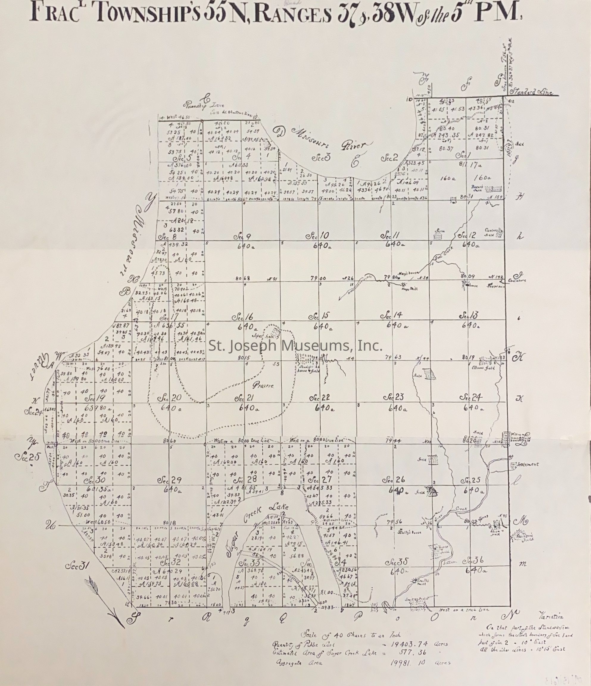
Buchanan County, Fractional Township 55, Survey Map, 1839
Archive
-
St. Joseph Museums
Name/Title
Buchanan County, Fractional Township 55, Survey Map, 1839
Entry/Object ID
AM2019.1.33
Scope and Content
Buchanan County, Fractional Township 55, Survey Map, 1839. "Twp 55 N, , Ranges 37, 38 West of the 5th PM."
Lexicon
Nomenclature 4.0
Nomenclature Secondary Object Term
Map
Nomenclature Primary Object Term
Cartograph
Nomenclature Sub-Class
Graphic Documents
Nomenclature Class
Documentary Objects
Nomenclature Category
Category 08: Communication Objects
Search Terms
Buchanan County Survey Map, 1839
Maintenance
Maintenance History
Date
Aug 20, 2019