HUB
Collections
Classifications
About
App
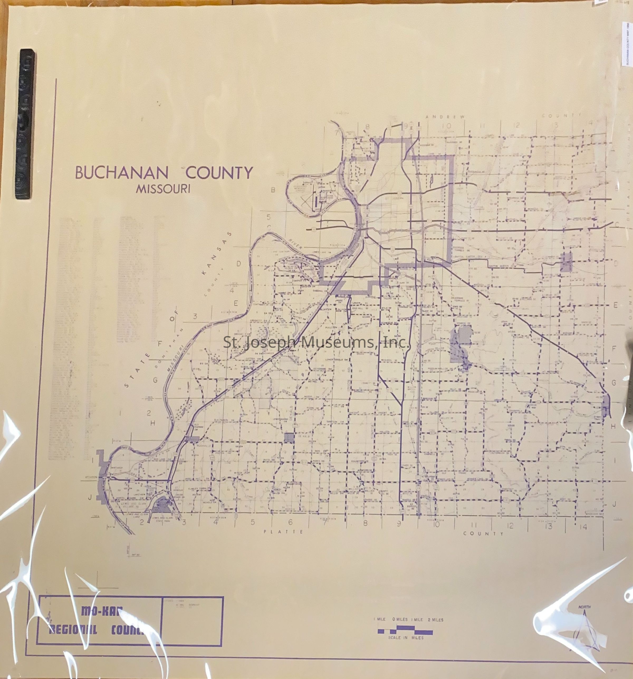
Buchanan County Map, 1988
Archive
-
St. Joseph Museums
Name/Title
Buchanan County Map, 1988
Entry/Object ID
AM2014.26.628
Scope and Content
Buchanan County Map, 1988, Created by Mo-Kan Regional Council. Shows major roads, streams, and towns in the county. Does not detail the city of St. Joseph.
Collection
Marshall & Melanie White
Lexicon
Nomenclature 4.0
Nomenclature Secondary Object Term
Map
Nomenclature Primary Object Term
Cartograph
Nomenclature Sub-Class
Graphic Documents
Nomenclature Class
Documentary Objects
Nomenclature Category
Category 08: Communication Objects
Search Terms
Buchanan County,
Buchanan County Maps
Condition
Overall Condition
Fair
Maintenance
Maintenance History
Date
Dec 23, 2015