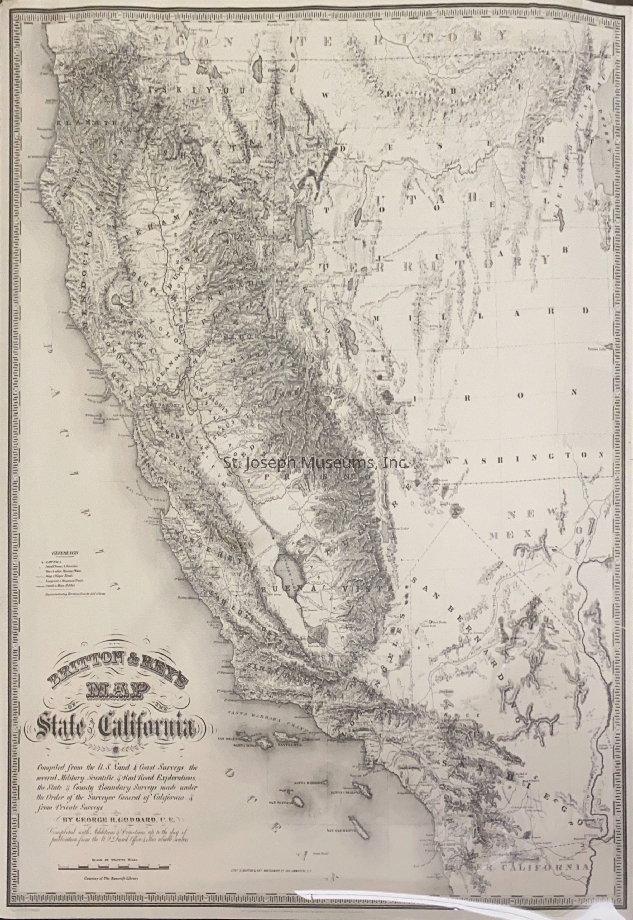
California Map, Britton & Rey's Map by George Goddard, 1857

Name/Title

California Map, Britton & Rey's Map by George Goddard, 1857

Entry/Object ID

P1999.1.1

Scope and Content

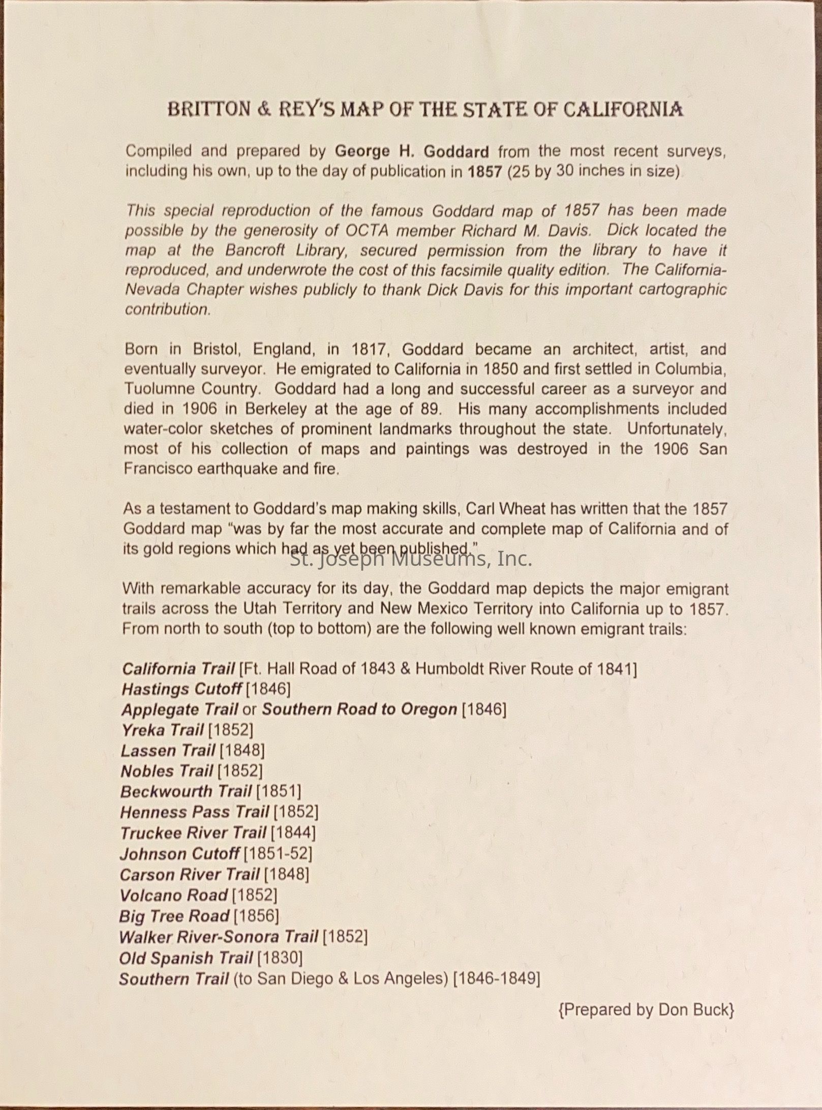
California Map, Britton & Rey's Map by George Goddard, 1857. Reproduction of Britton & Rey's Map of the State of California by the Bancroft Library. Also descriptive text about Goddard, the emigrant trails included on the map, and the donation of this map by OCTA member Richard M. Davis "Compiled from the U.S. Land & Coast Surveys, the several Military Scientific & Railroad Explorations, the State & County Boundary Surveys made under the Order of the Surveyor General of California & from Private Surveys. by George H. Goddarrd, C.E. Compiled with Additions & Corrections up to the day of publication from the U.S. LandOffice & other reliable sources. Courtesty of Bancroft Library Litho. by Britton & Reys entered according to Act of Congress, the year 1857."

Lexicon

Nomenclature 4.0

Nomenclature Secondary Object Term

Map

Nomenclature Primary Object Term

Cartograph

Nomenclature Sub-Class

Graphic Documents

Nomenclature Class

Documentary Objects

Nomenclature Category

Category 08: Communication Objects

Search Terms

California, Western Migration, Trails, California Trail, Hastings Cut Off, Applegate Trail, Yreka Trail, Lassen Trail, Nobles Trail, Beckwourth Trail, Henness Pass Trail, Truckee River Trail, Johnson Cutoff, Carson River Trail, Volcano Road, Big Tree Road, Walker RIver-Sonora Trail, Old Spanish Trail, Souther Trail
Condition

Overall Condition

Good

Maintenance

Maintenance History

Date

Dec 31, 2020

Relationships

Related Person or Organization

Person or Organization

George H. Goddard

Person or Organization

Richard M. Davis