Name/Title
California-Oregon-Mormon Emigrant Roads featuring the Pony Express, 1860-1861, L.C. Bishop & Paul Henderson, Map, 1960Entry/Object ID
AM1996.1.12Scope and Content
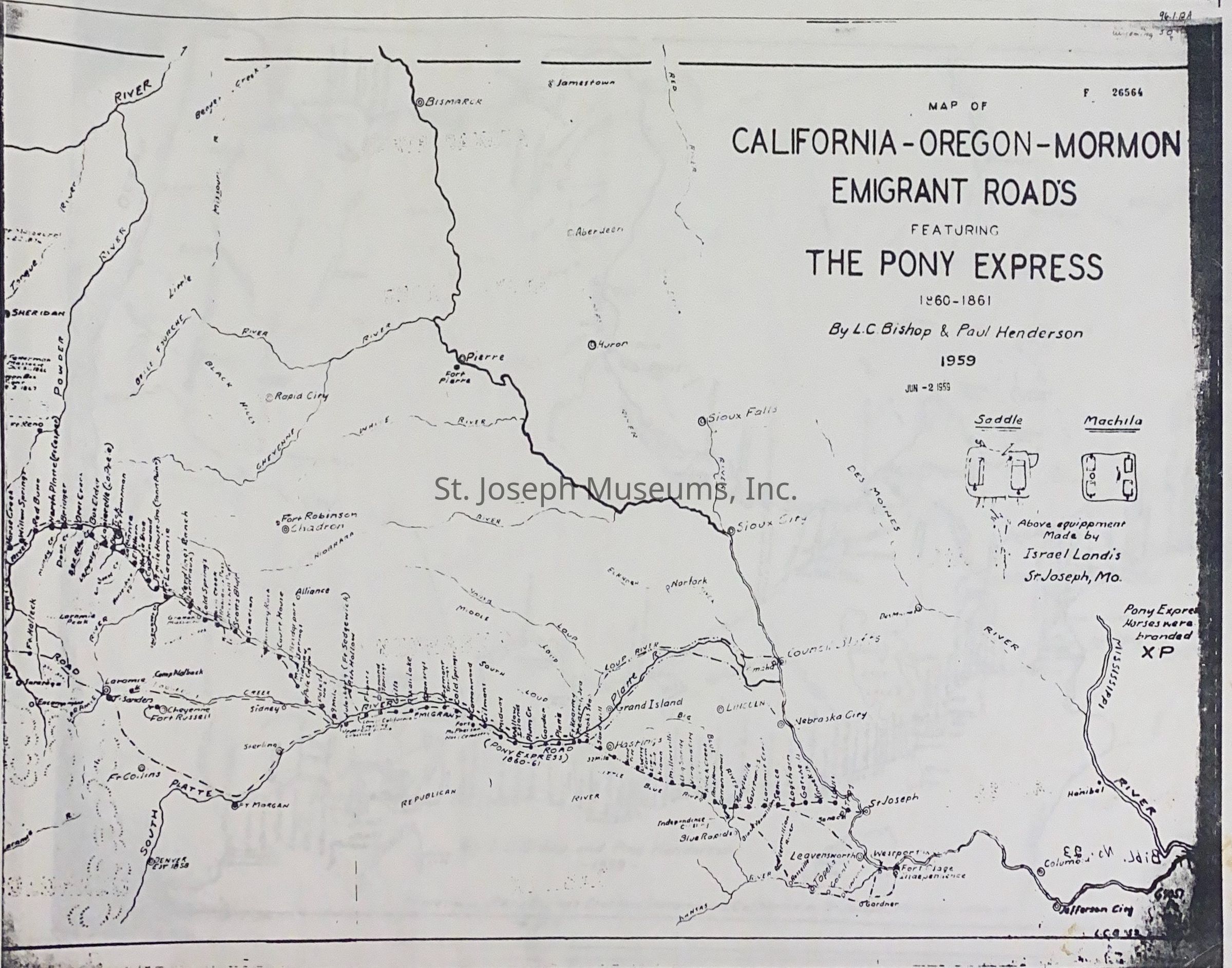
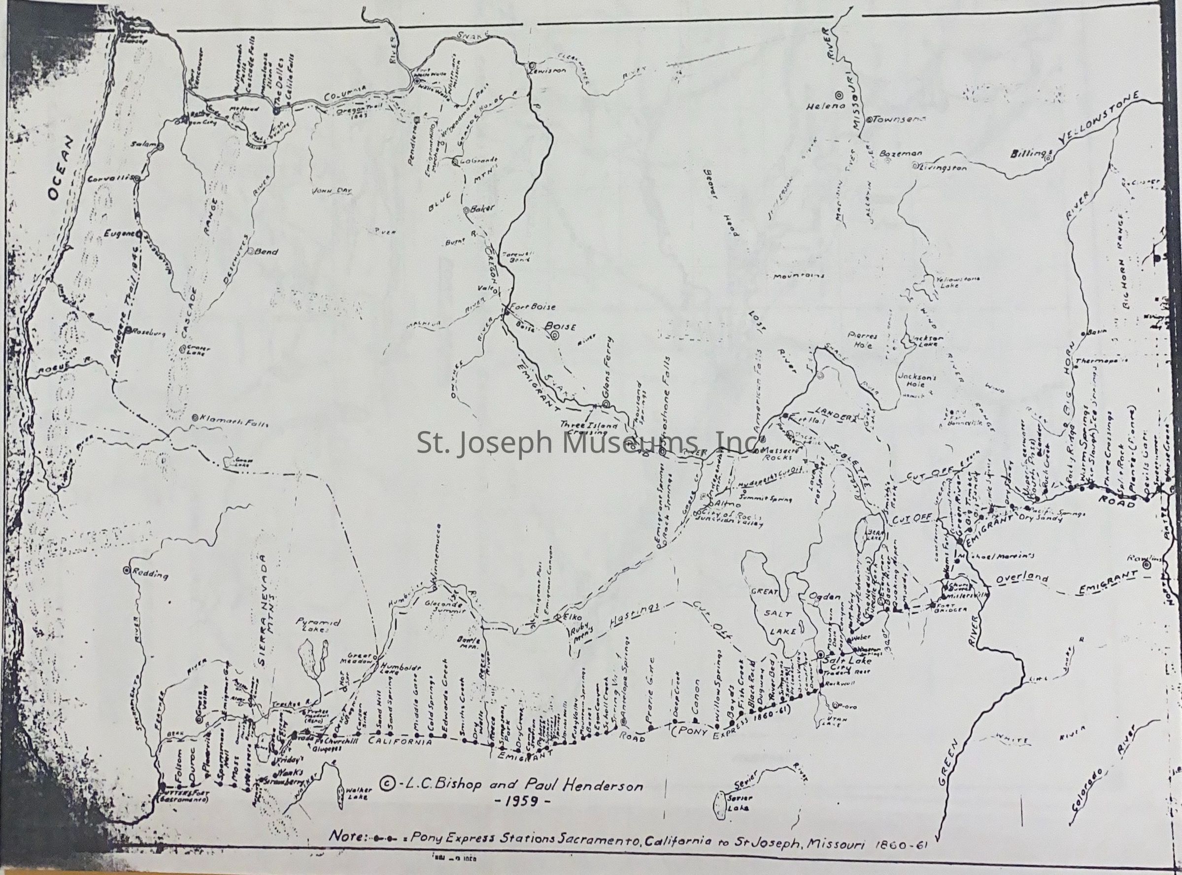
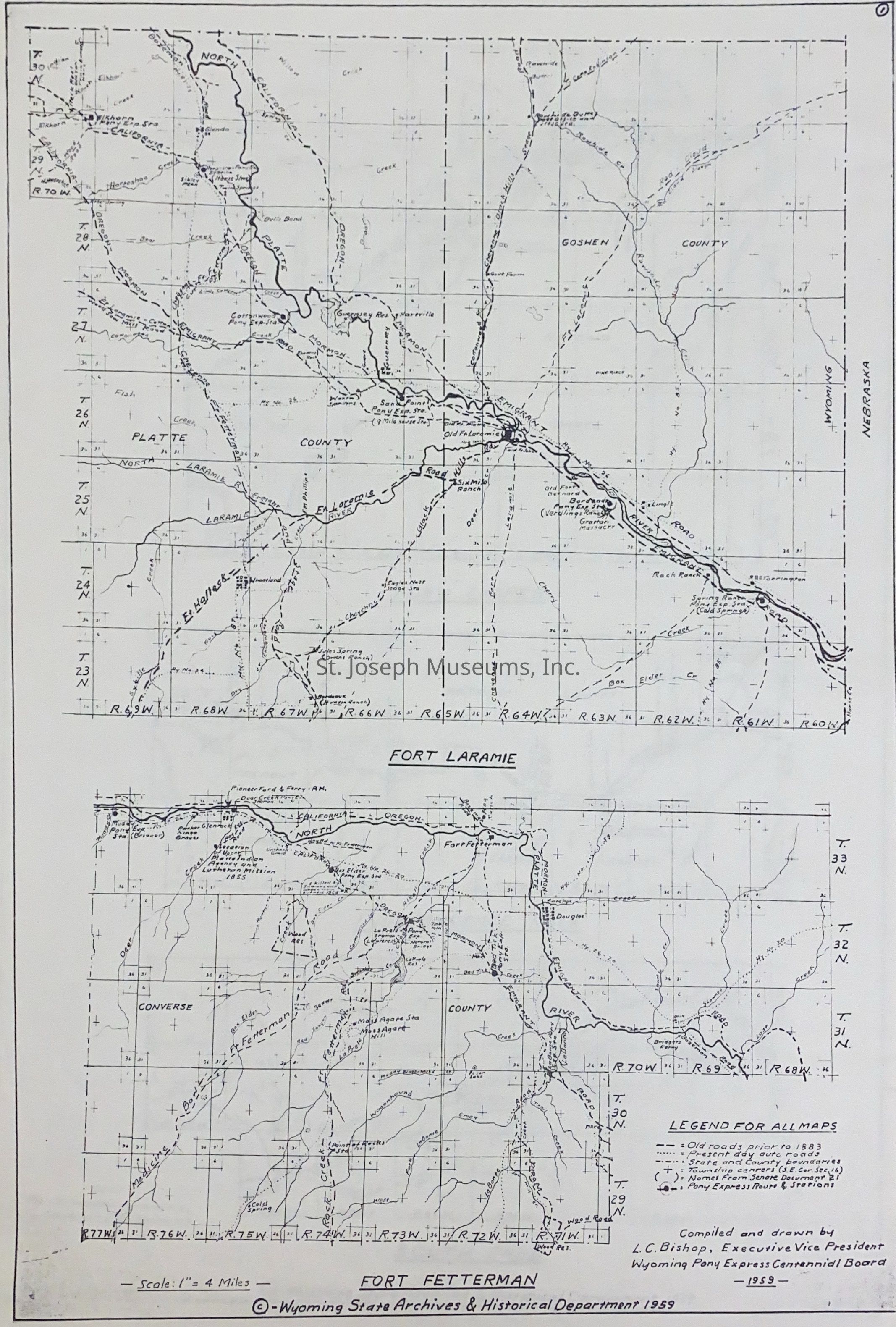
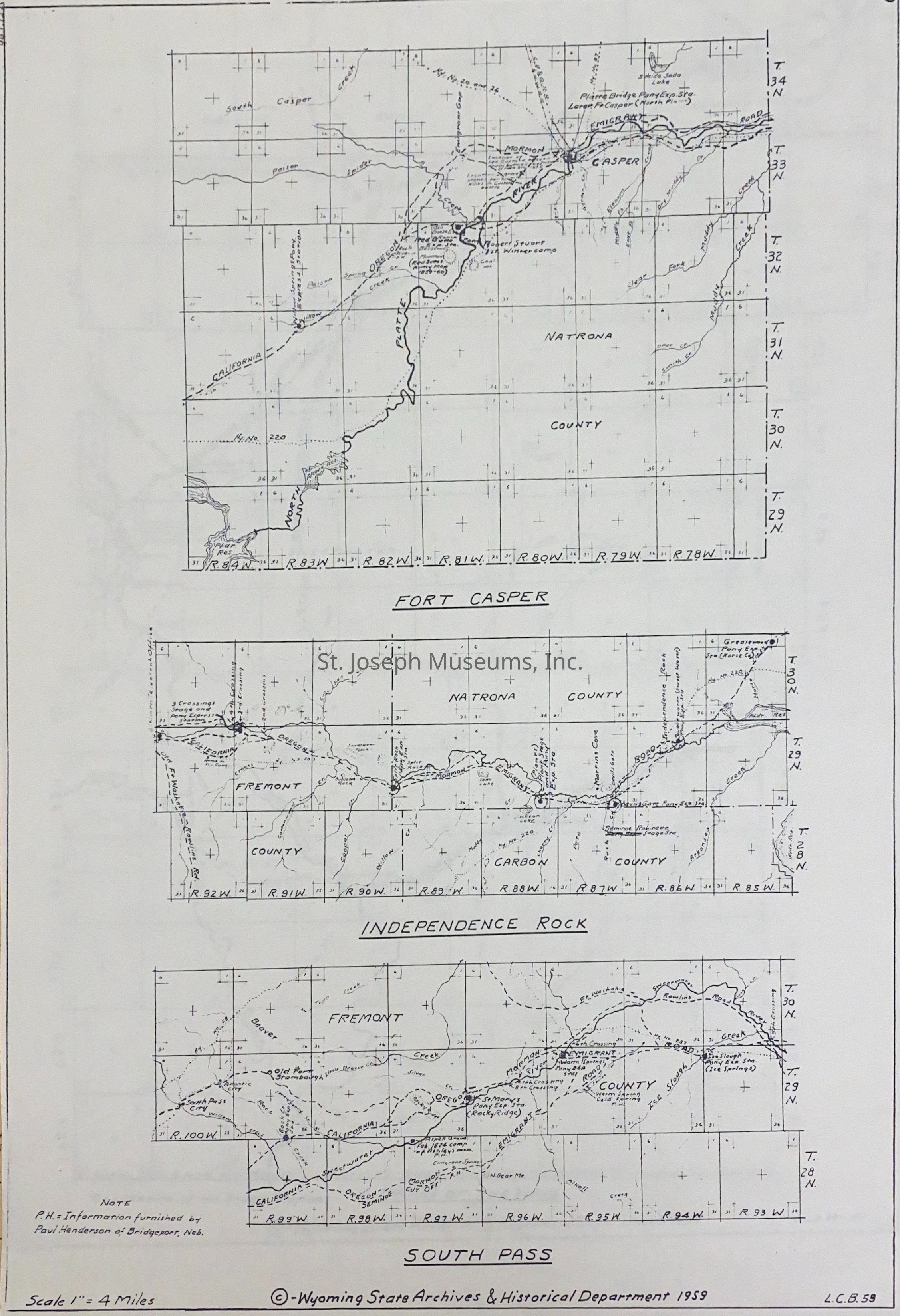
California-Oregon-Mormon Emigrant Roads featuring the Pony Express, 1860-1861, L.C. Bishop & Paul Henderson, Map, 1960. Photocopies of 8 maps compiled by L.C. Bishop and Paul Henderson as below.
A & B = Trails leading out of St. Joseph, MO. cross-continent to Fort Sutter, CA. Pony Express Stations identified along its trail. Sites along the Oregon-California-Mormon Trails and cut-offs. Illustration of an Israel Landis saddle & mochila. 1959. Original map, see 09.3.634.
C = Fort Laramie & Fort Fetterman area, Wyoming State Archives map by Bishop, 1959. same as 09.3.633
D = Fort Casper, Independence Rock, South Pass area, Wyoming State Archives map by Bishop, 1958. Same as 09.3.637.
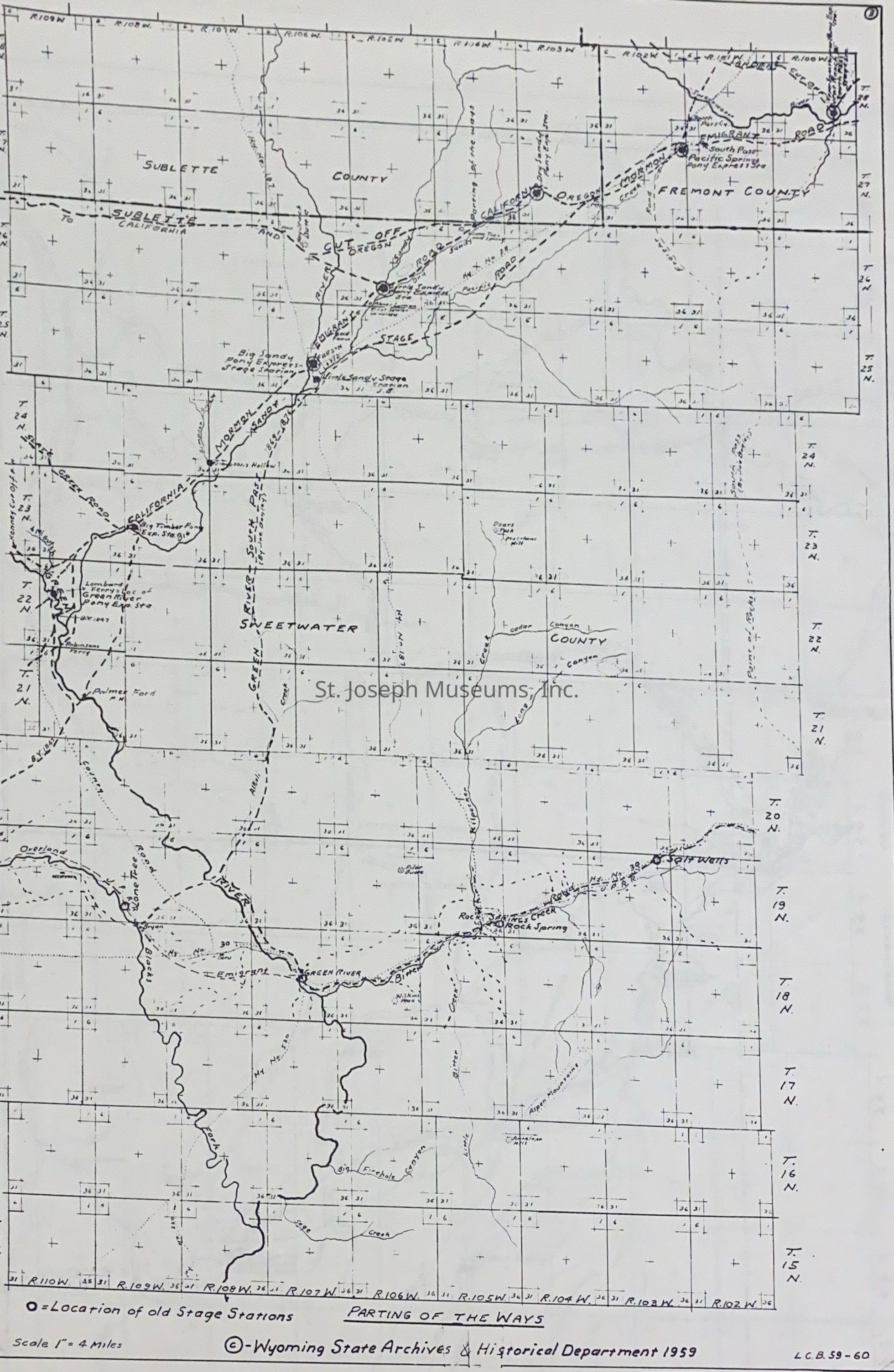
E = Parting of the Ways Area, Wyoming State Archives Map by Bishop, 1959-60. Same as 09.3.632.
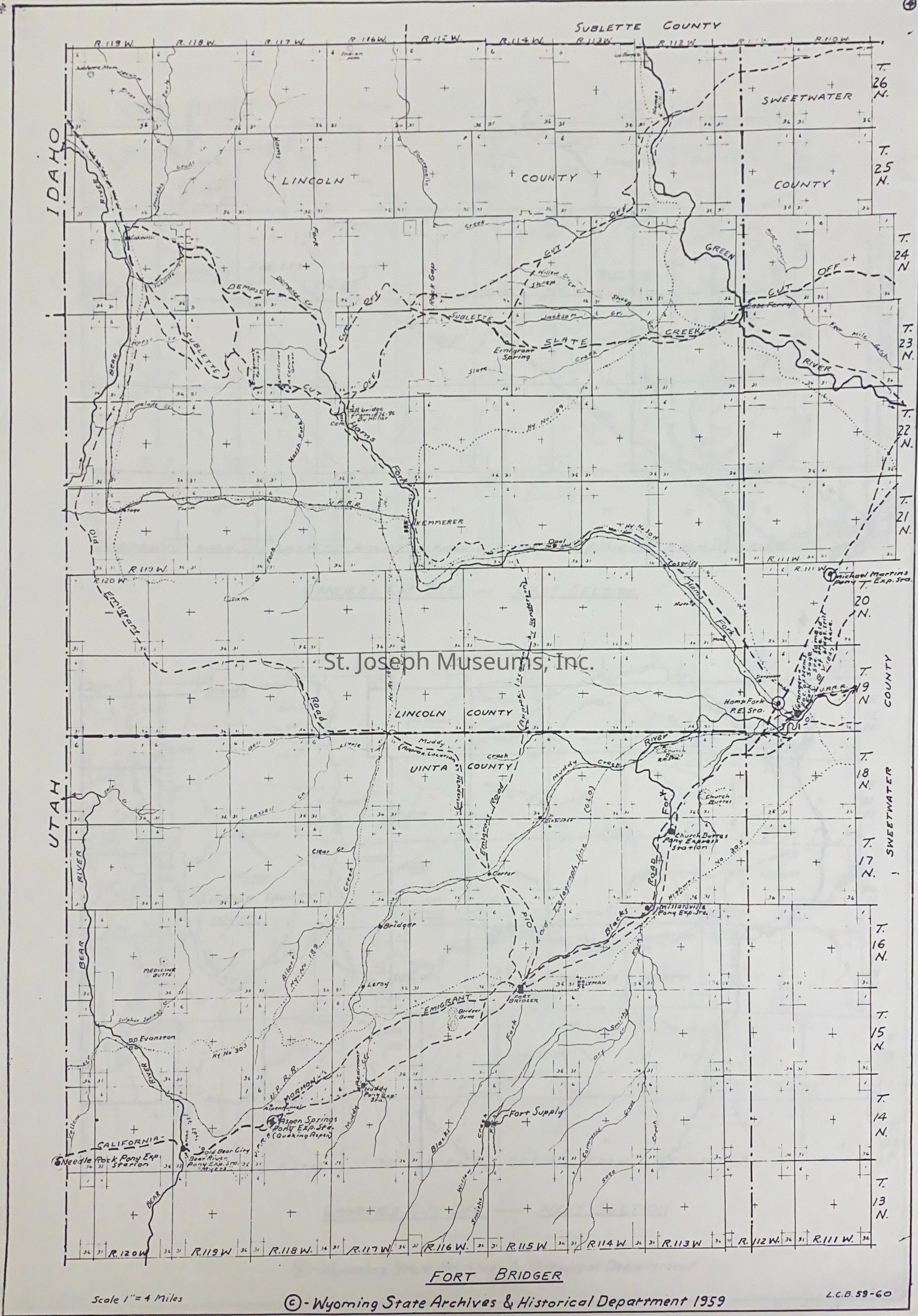
F = Fort Bridger Area, Wyoming State Archives Map by Bishop, 1959-60. Same as 09.3.639.
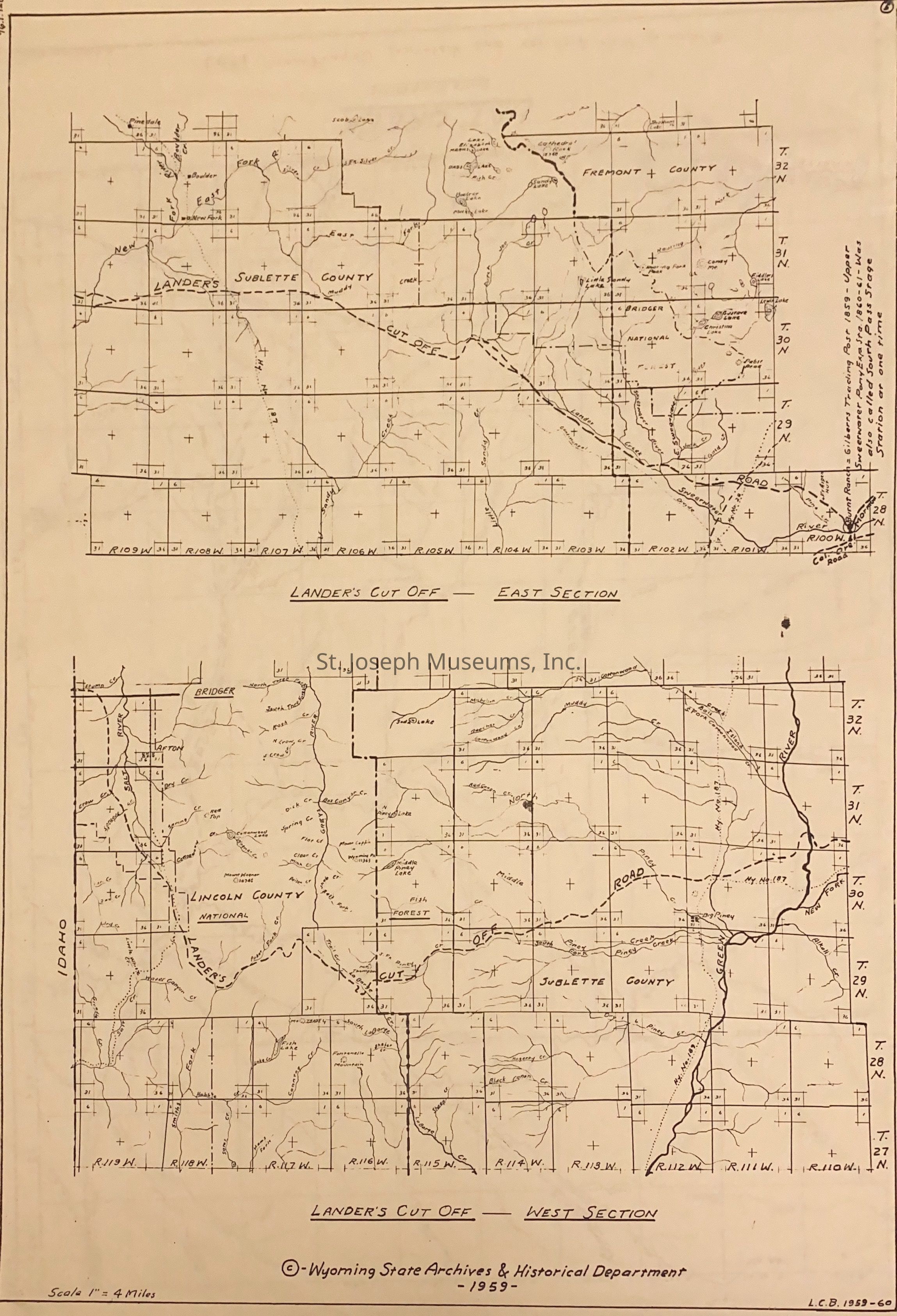
G = Lander's Cut Off, East & West Sections, Wyoming State Archives Map by Bishop, 1959-60. same as 09.3.648
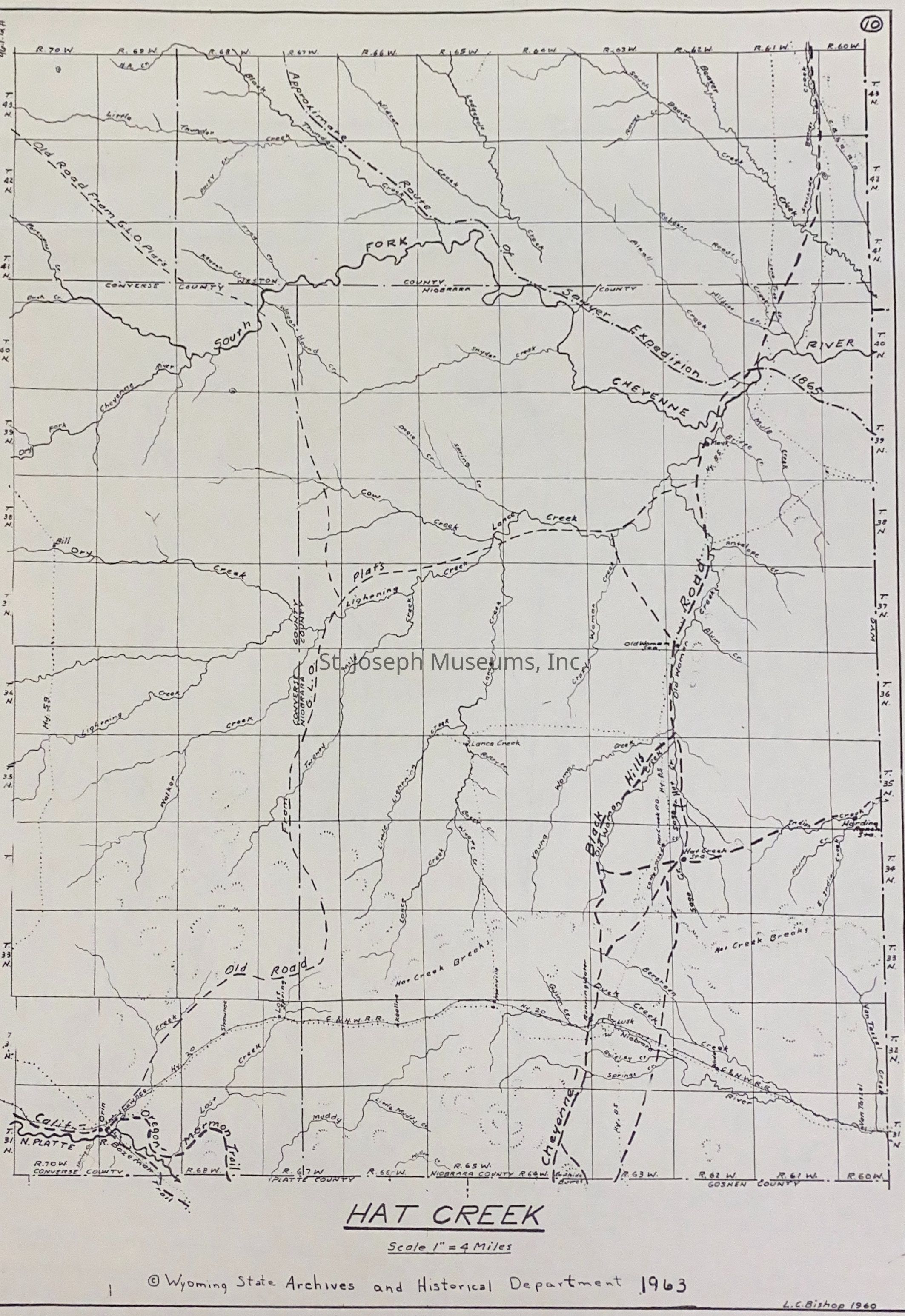
H = Hat Creek Area, includes NE Nebraska, Wyoming State Archives Map by Bishop, 1960Lexicon
Nomenclature 4.0
Nomenclature Secondary Object Term
MapNomenclature Primary Object Term
CartographNomenclature Sub-Class
Graphic DocumentsNomenclature Class
Documentary ObjectsNomenclature Category
Category 08: Communication ObjectsLOC Thesaurus for Graphic Materials
Pony expressSearch Terms
Western Migration, Trails, Pony Express Trail, Oregon-California Trail, California Trail, Wyoming TrailsRelationships
Related Person or Organization
Person or Organization
L. C. BishopPerson or Organization
Paul Henderson