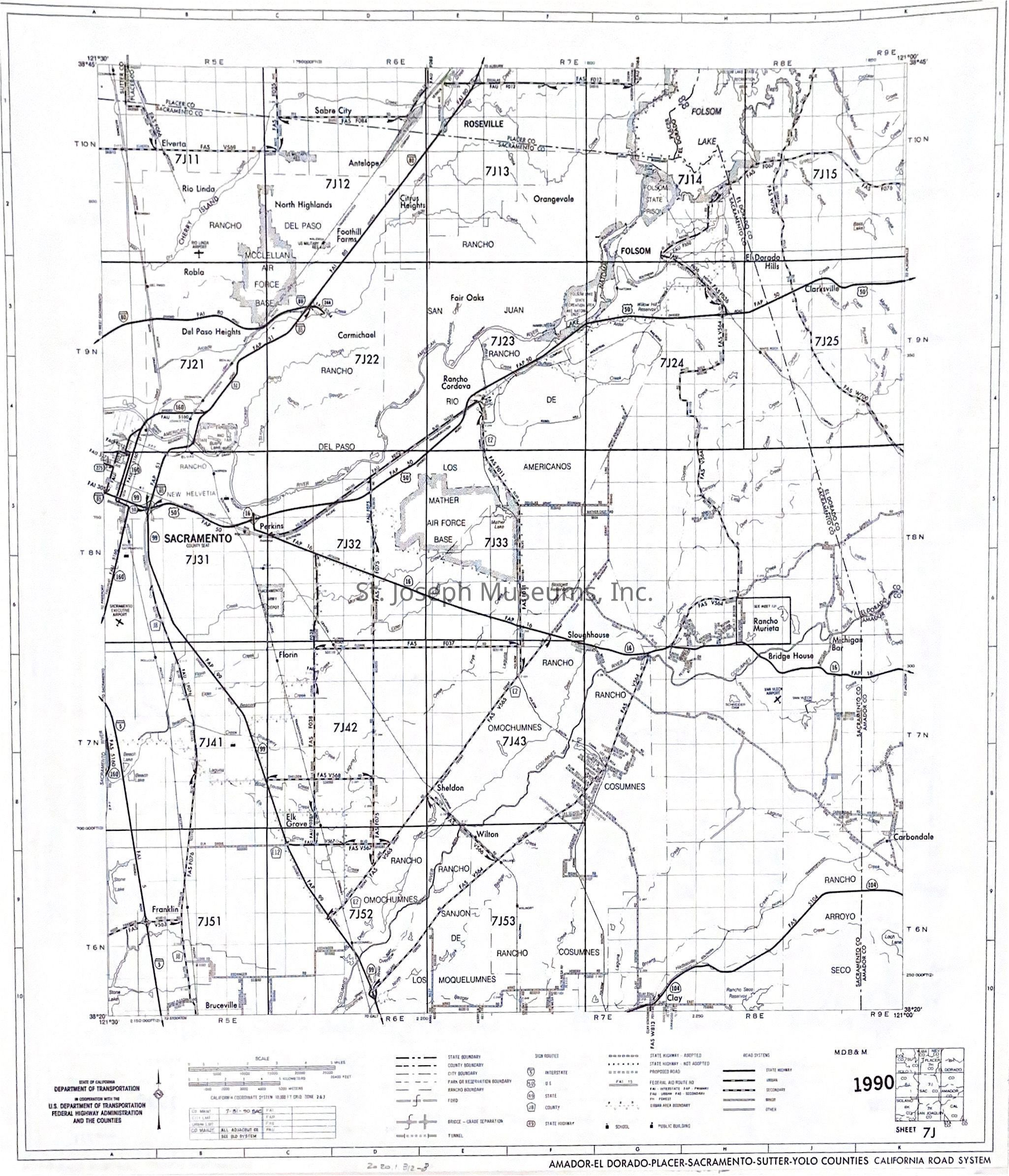
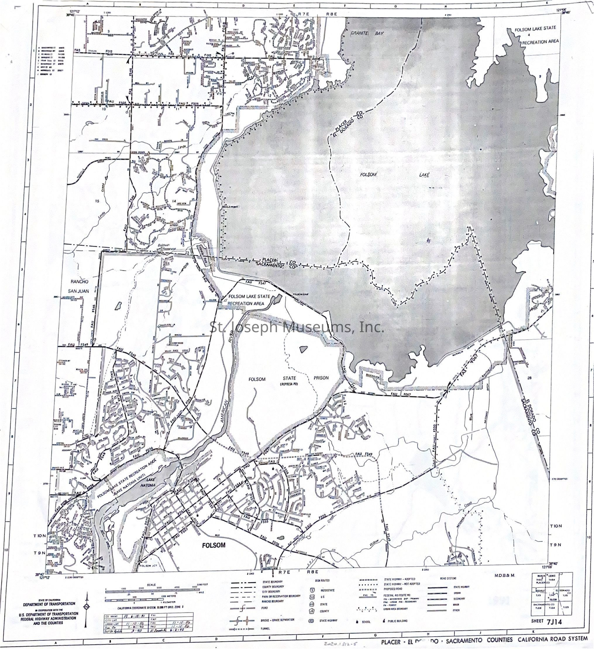
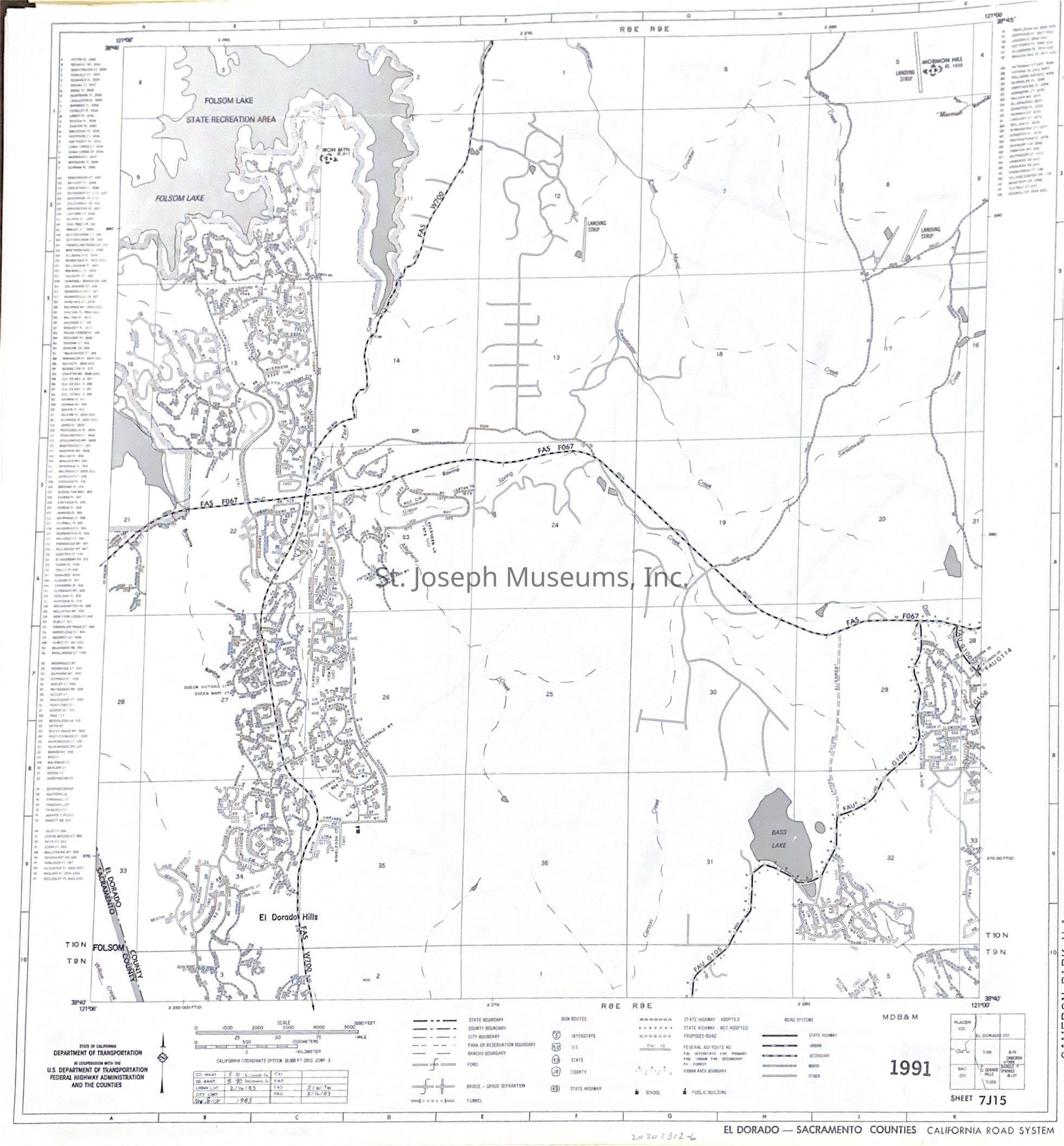
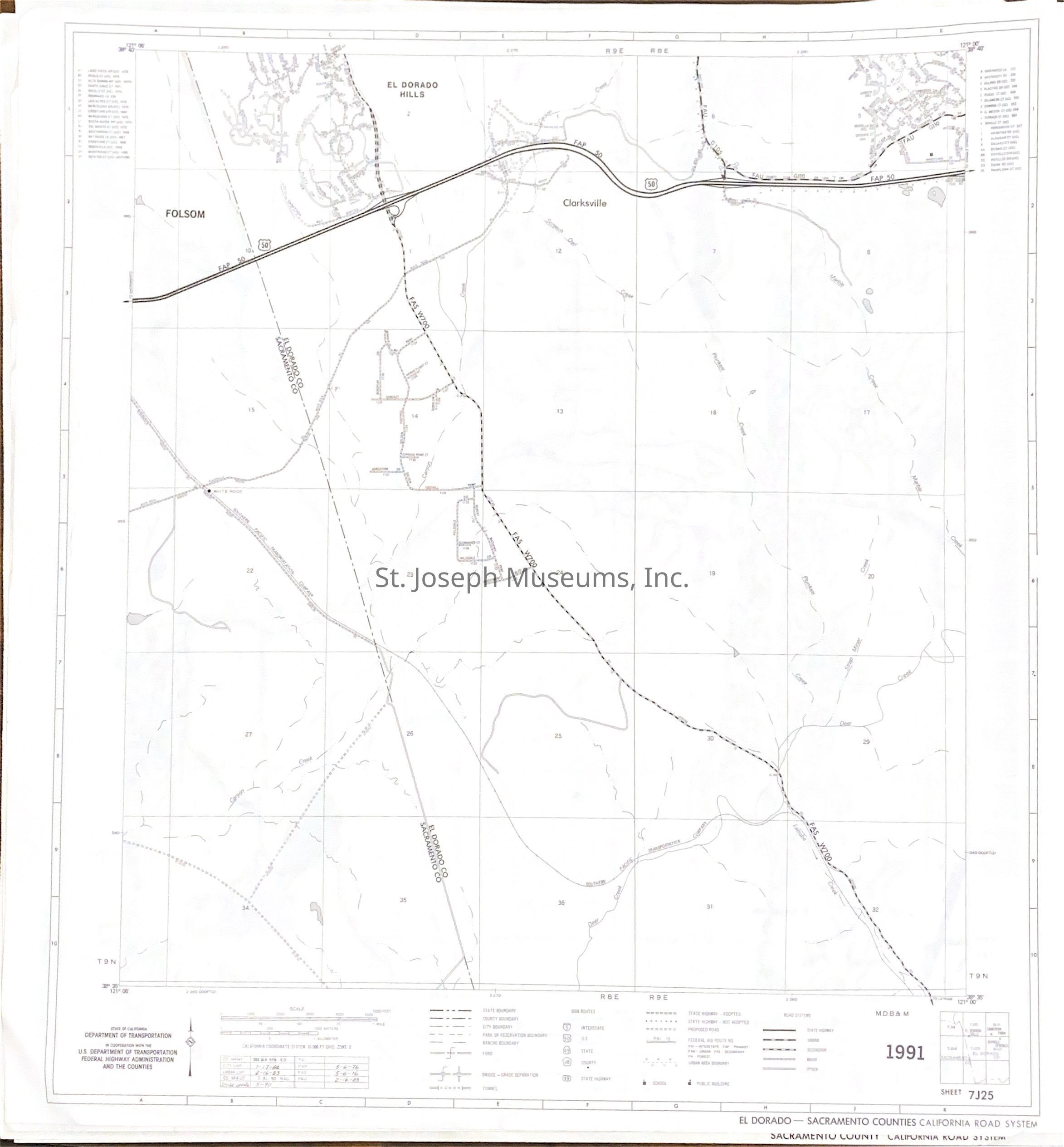
California Road Maps for Counties on the Pony Express Trail, 1991
Entry/Object ID
AM2020.1.312
Scope and Content
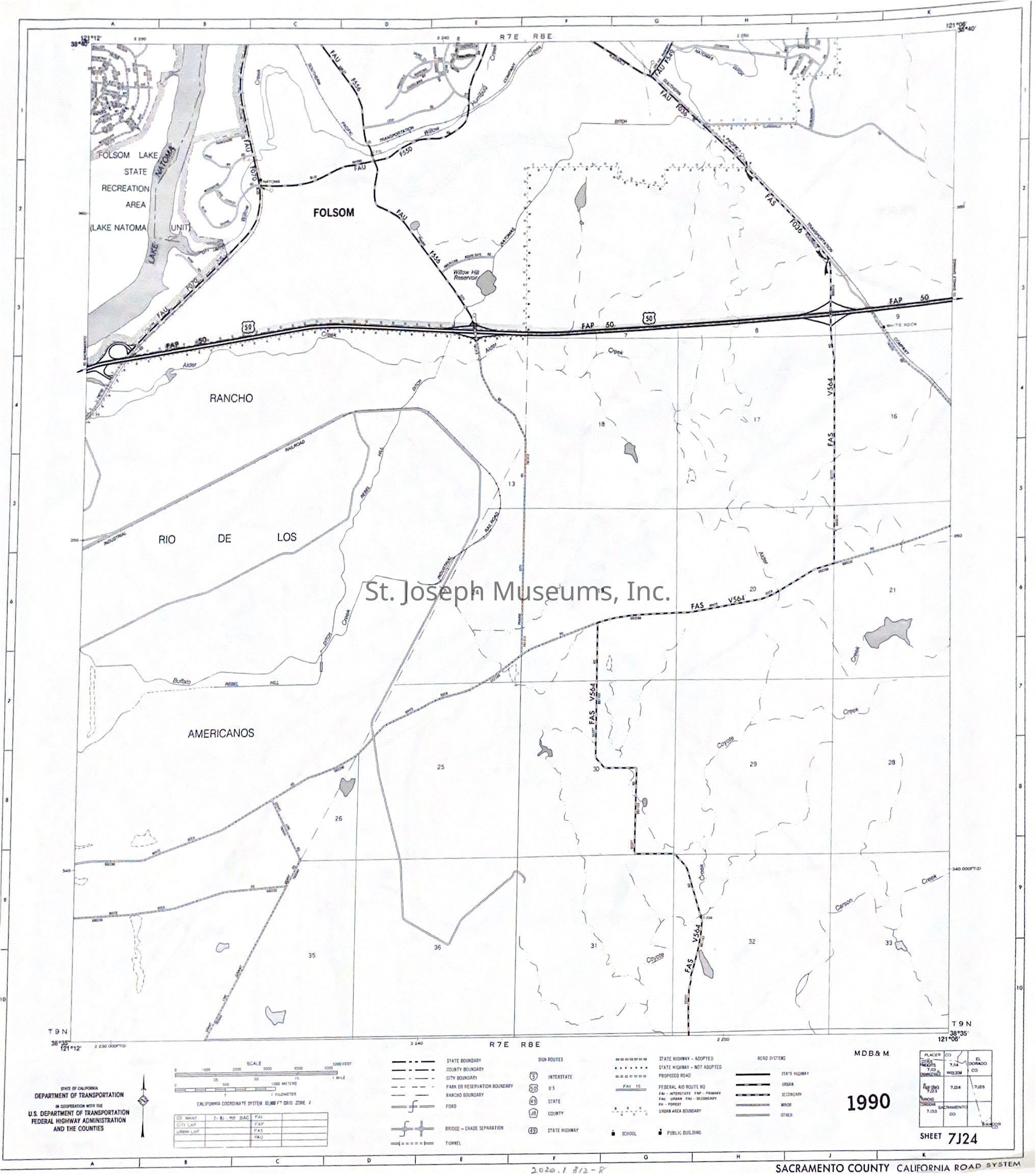
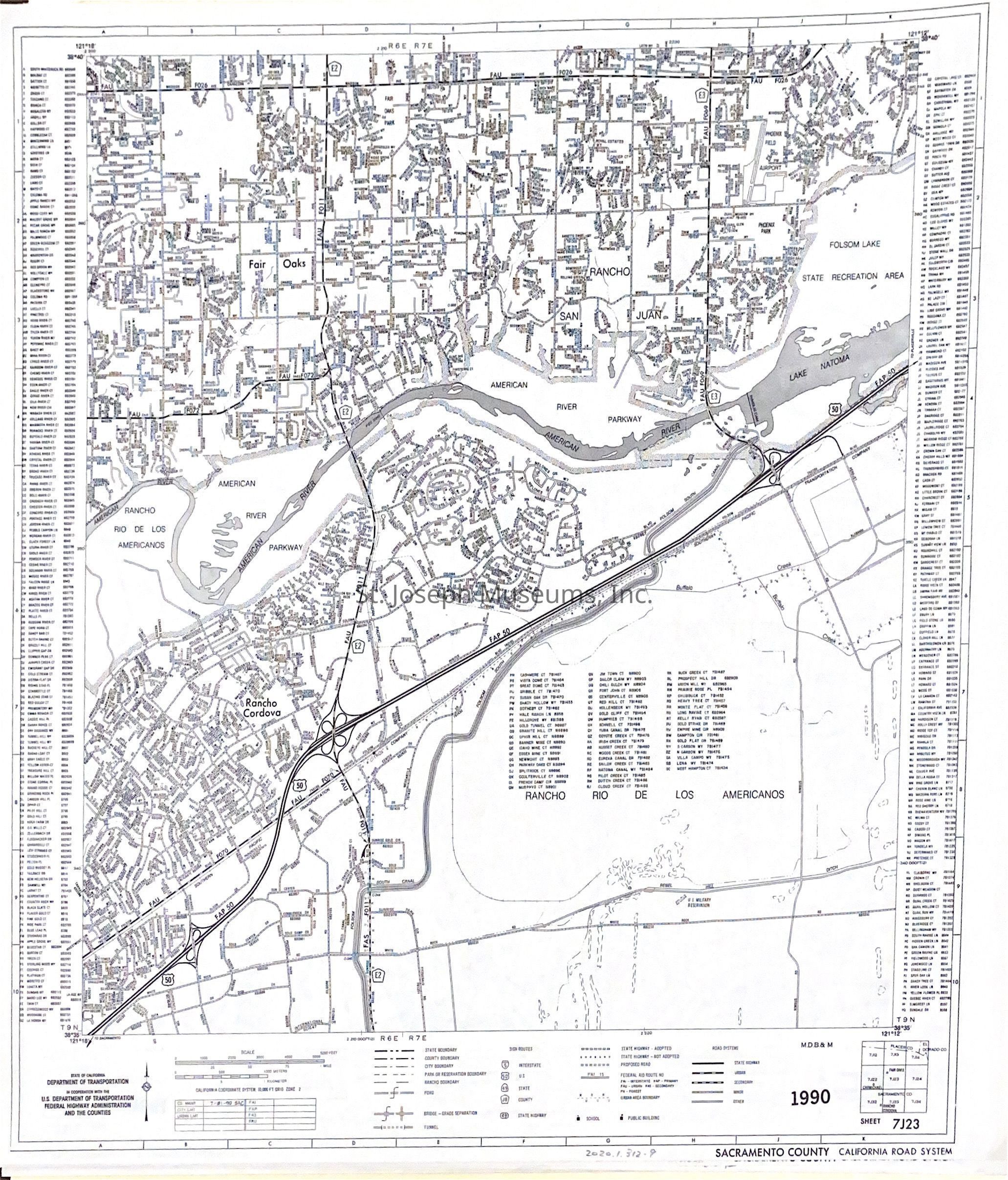
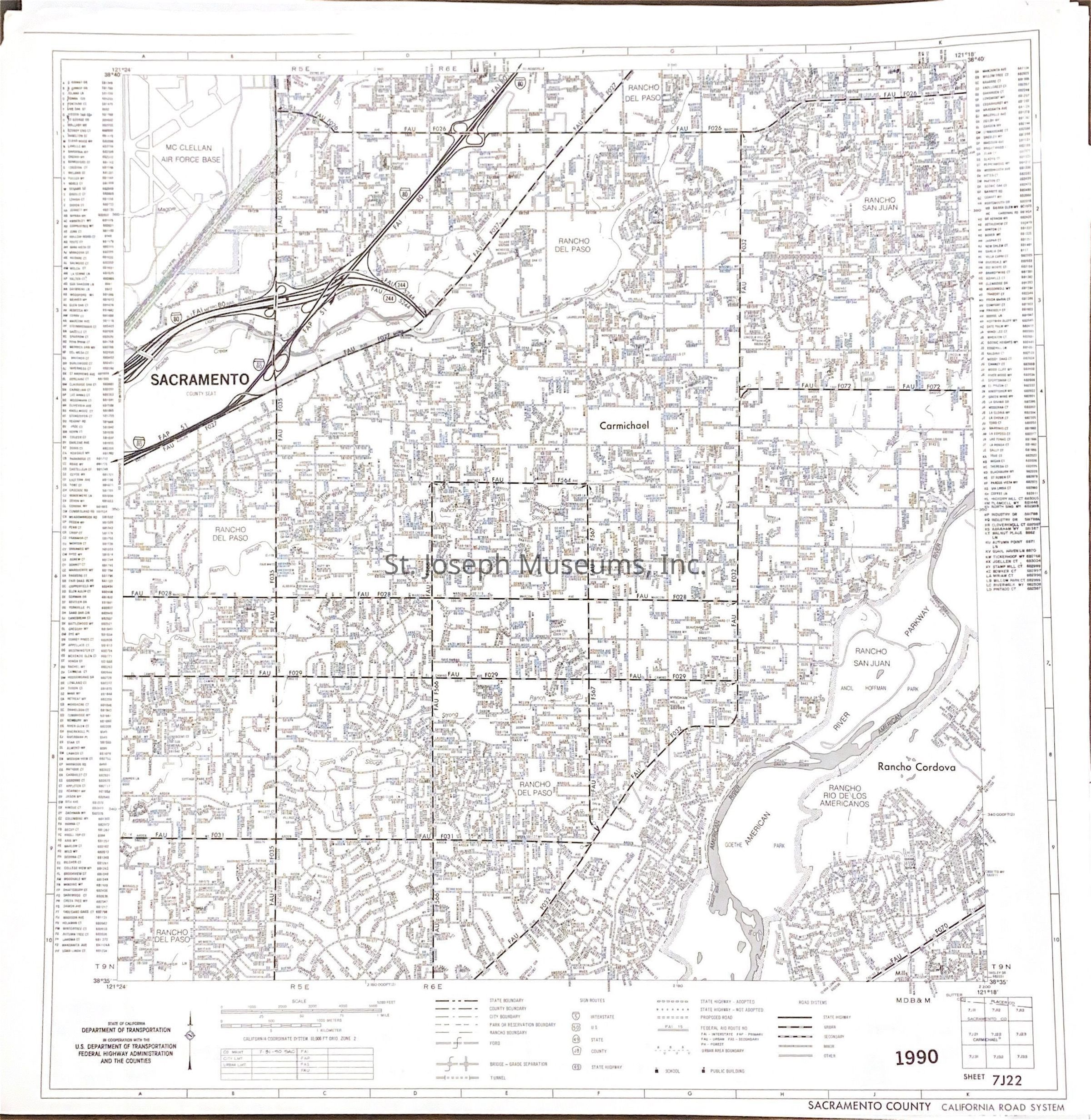
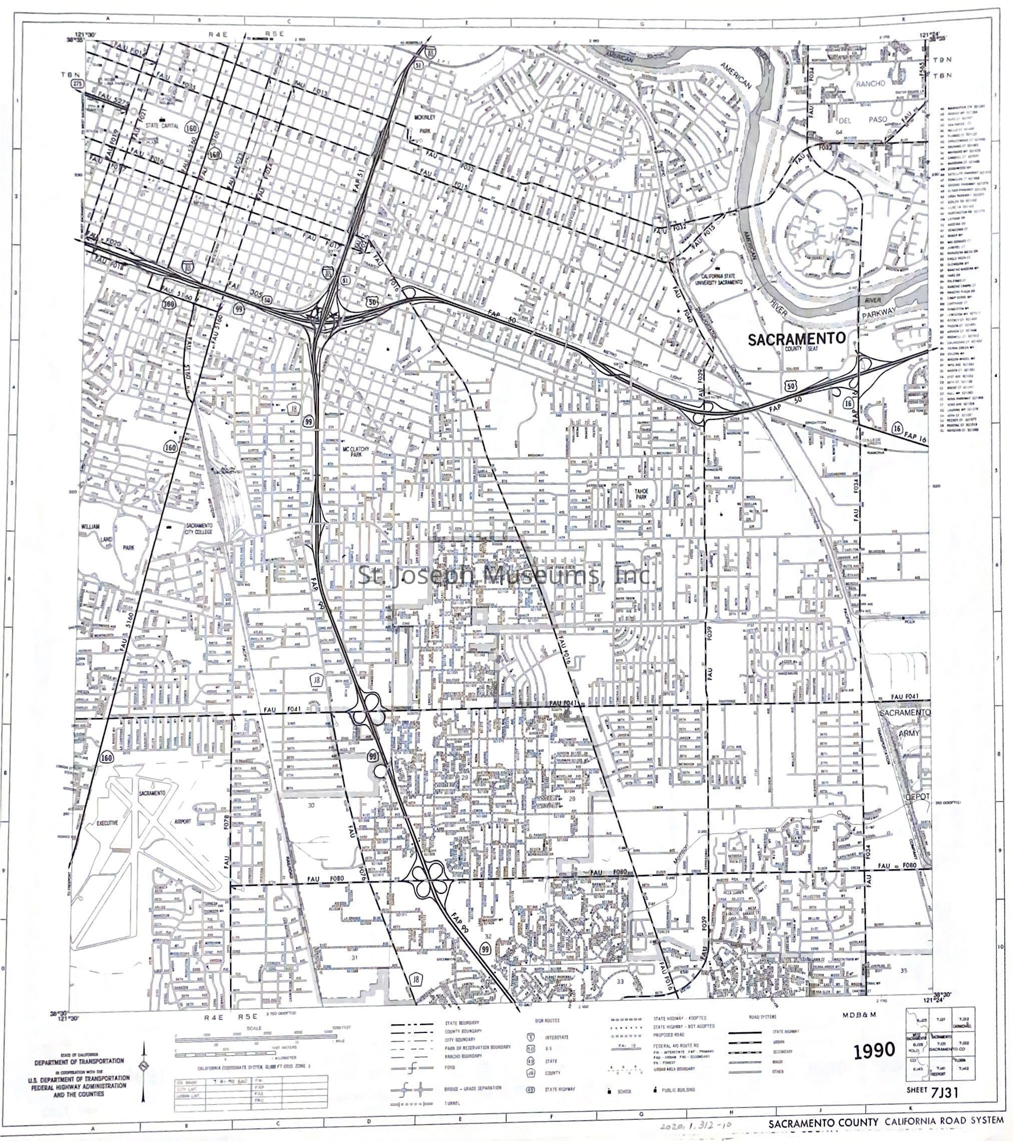
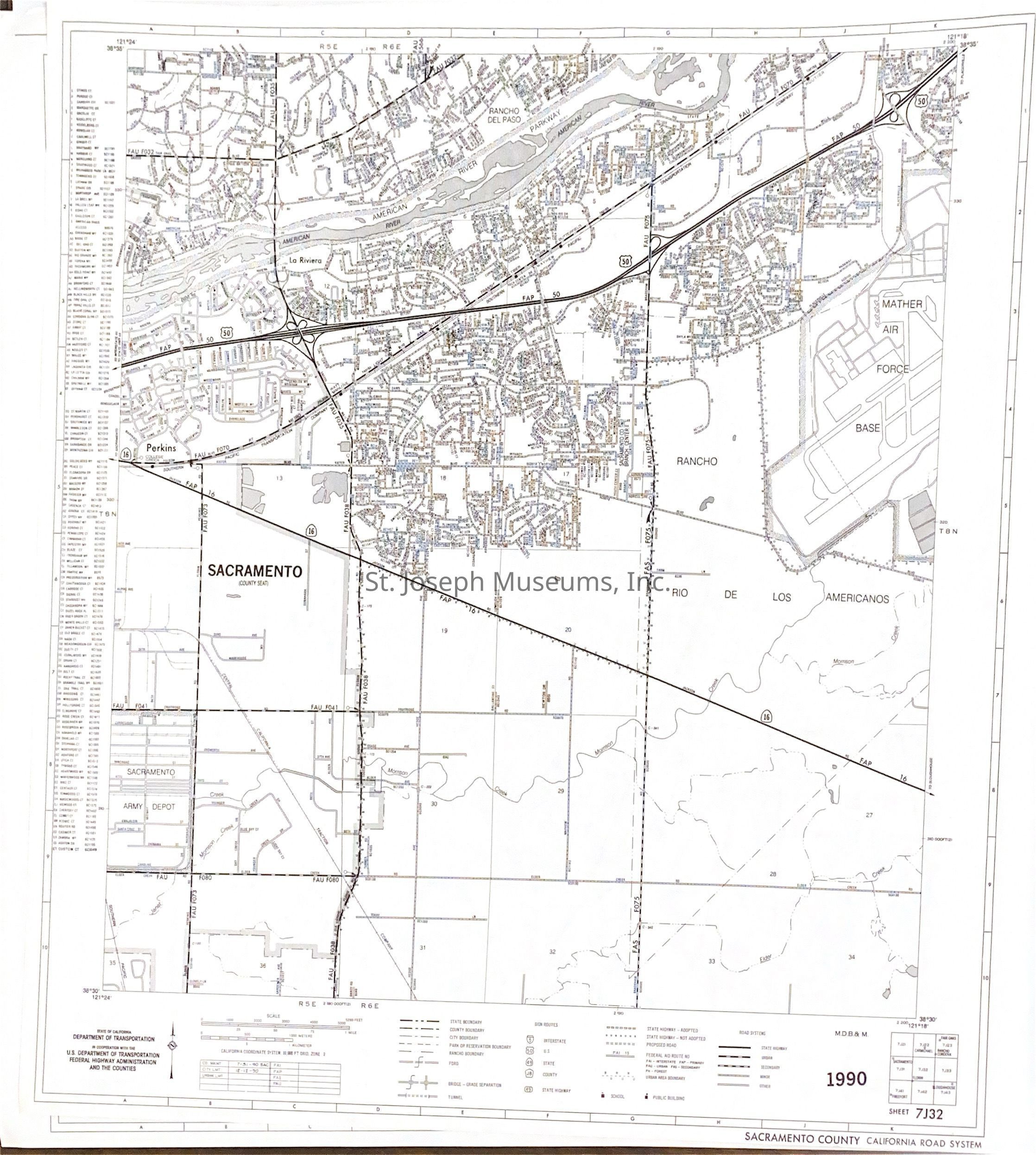
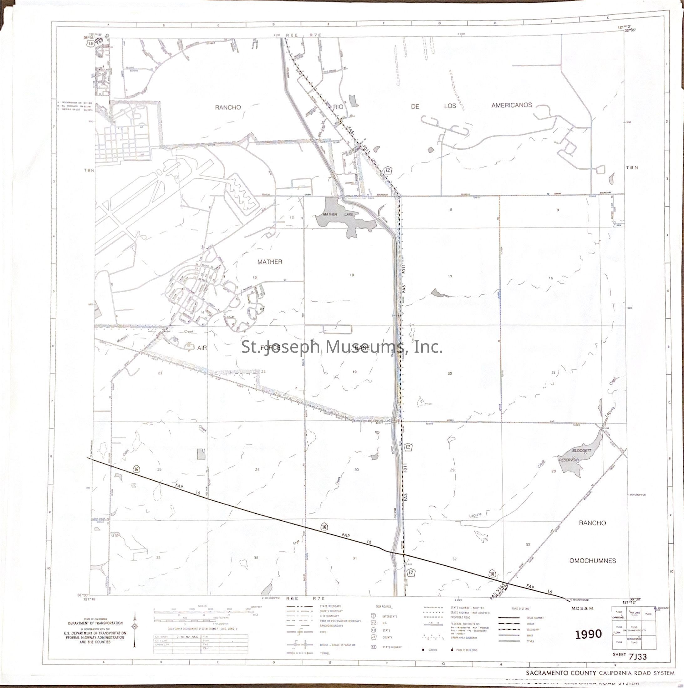
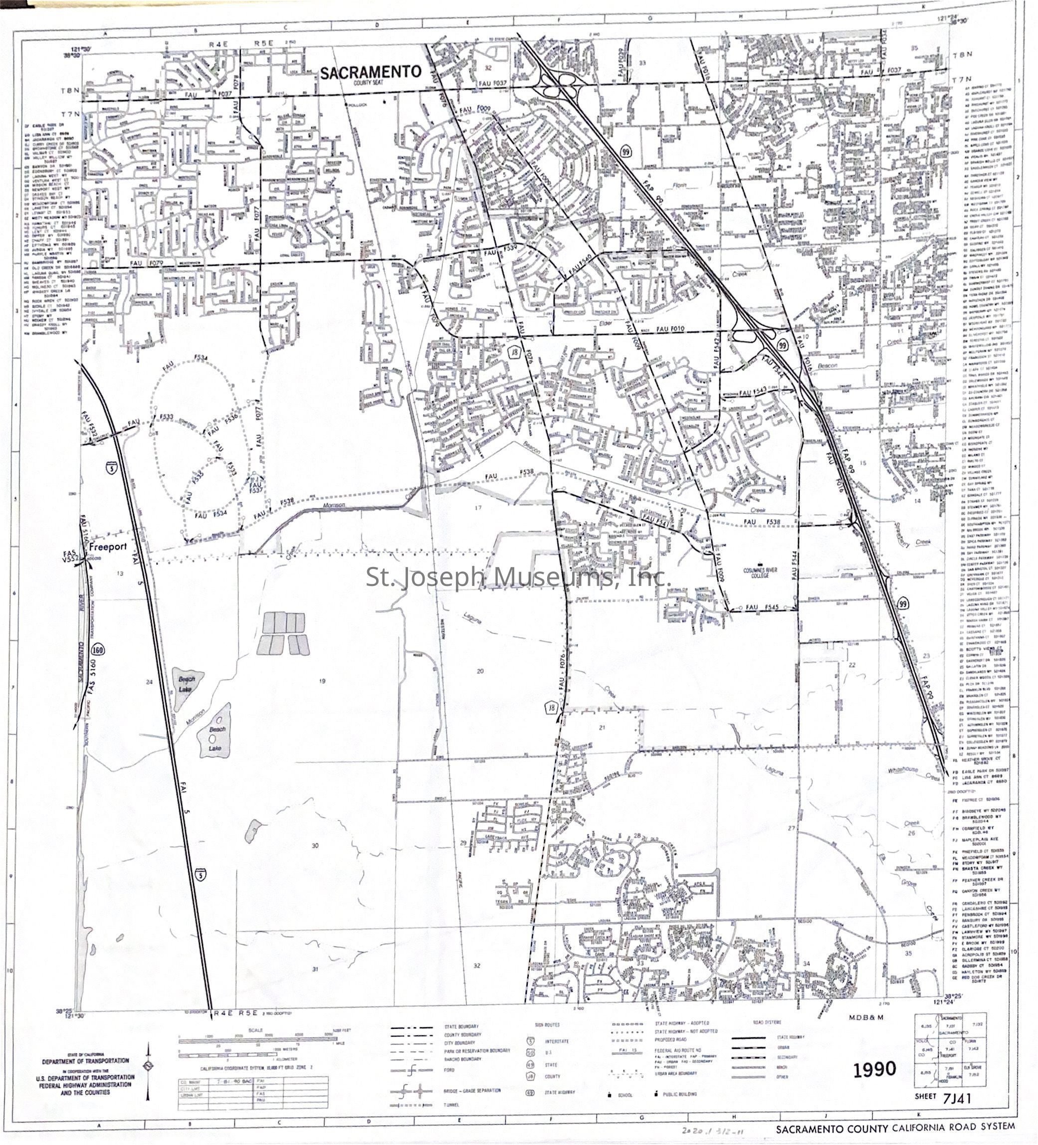
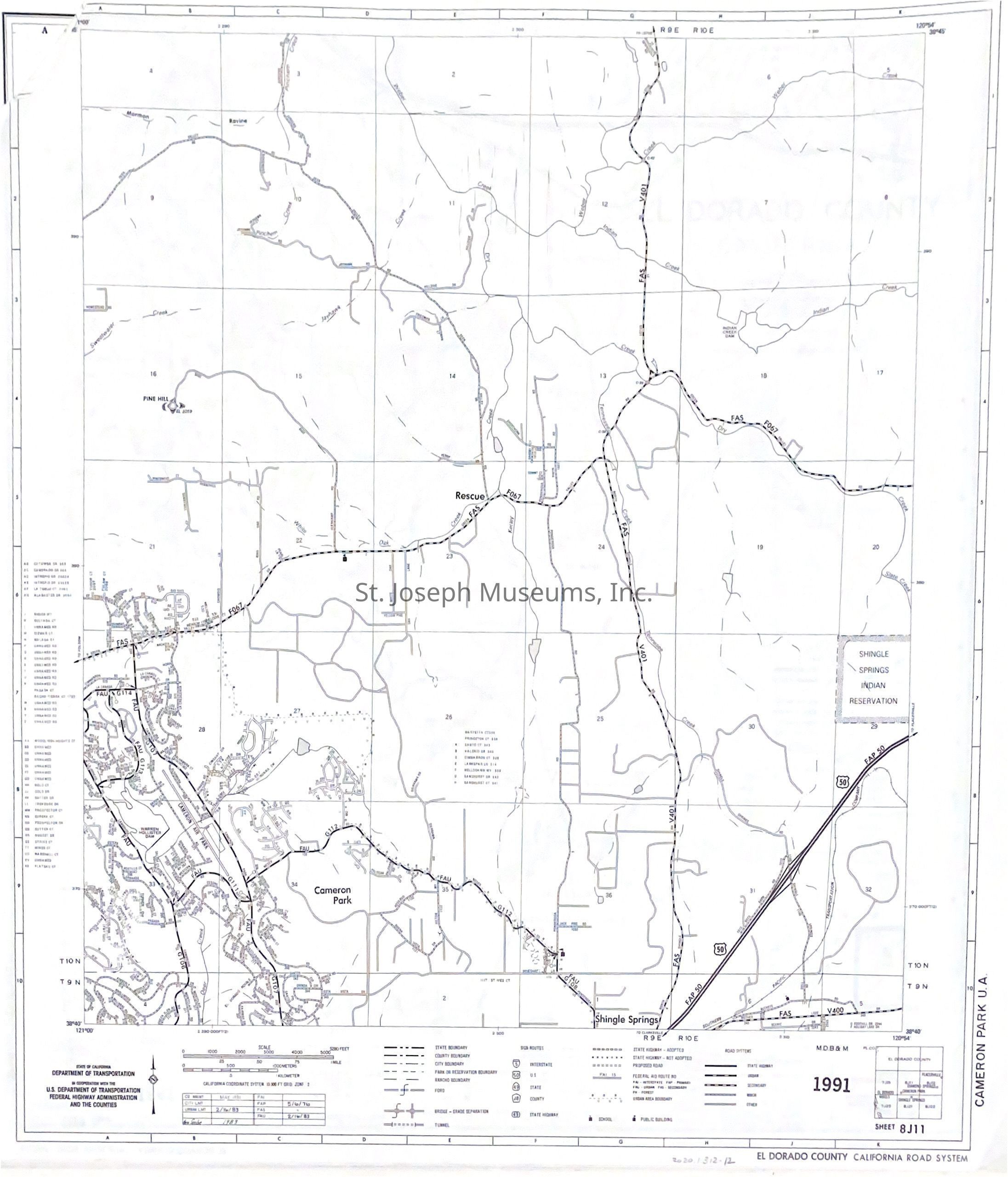
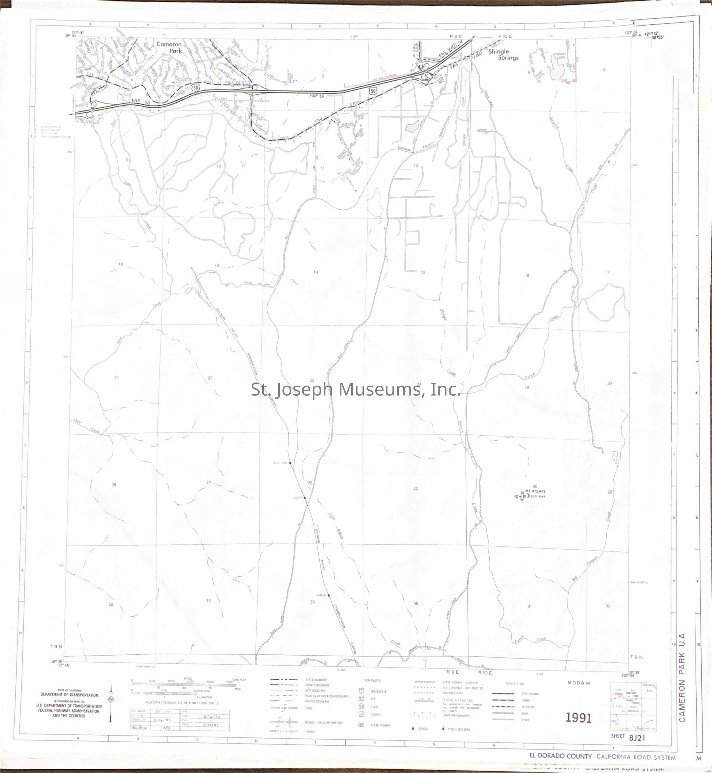
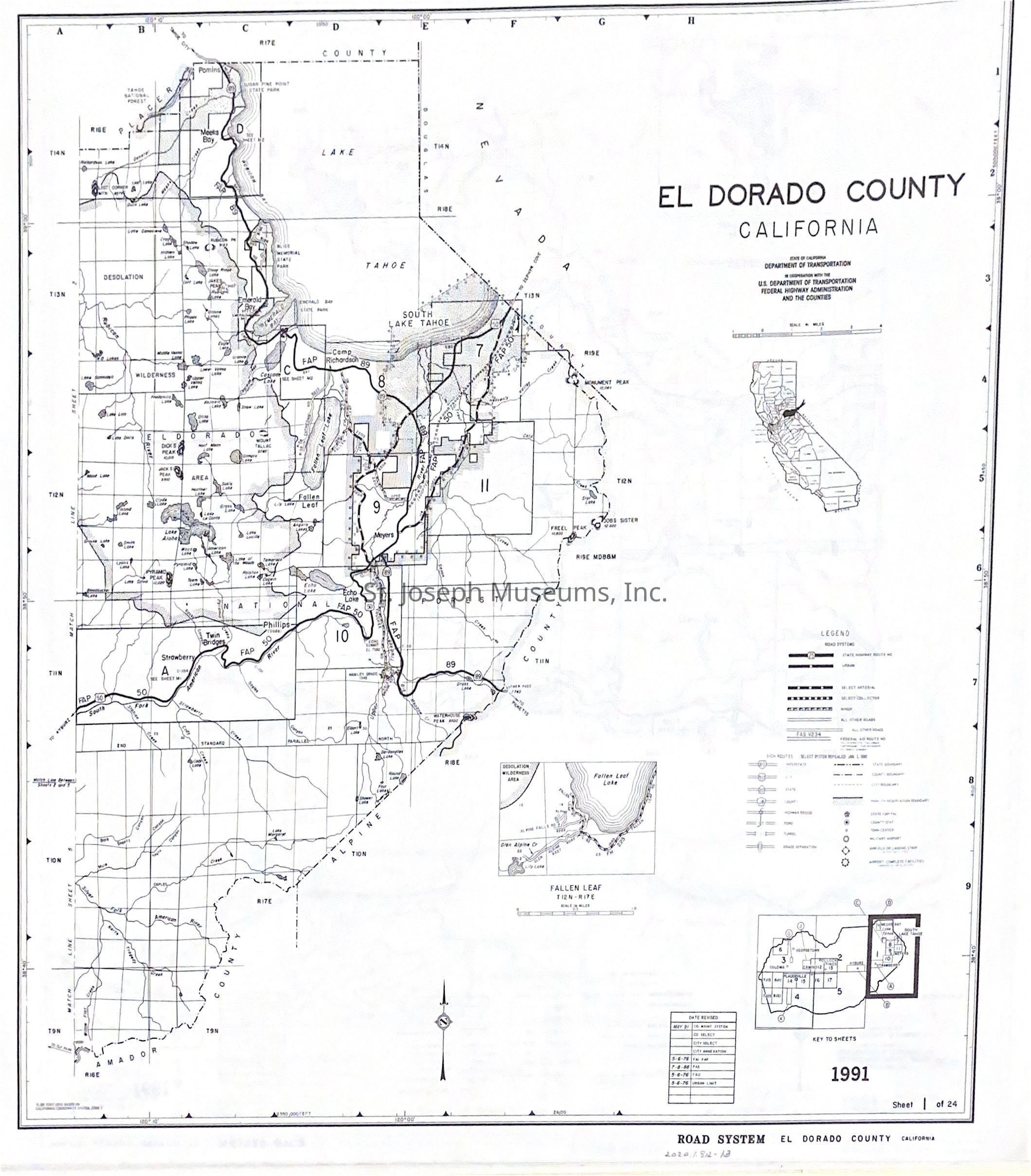
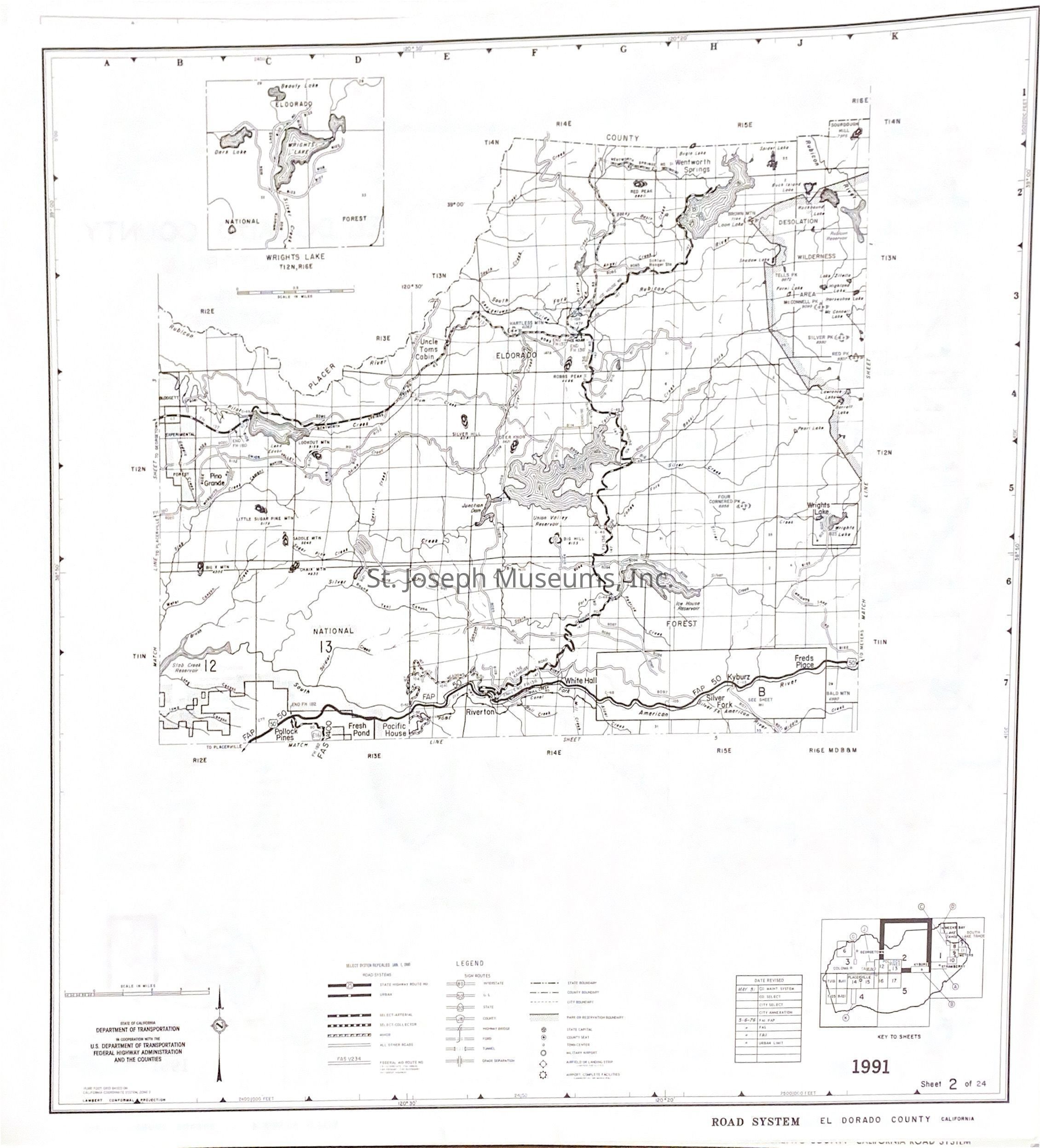
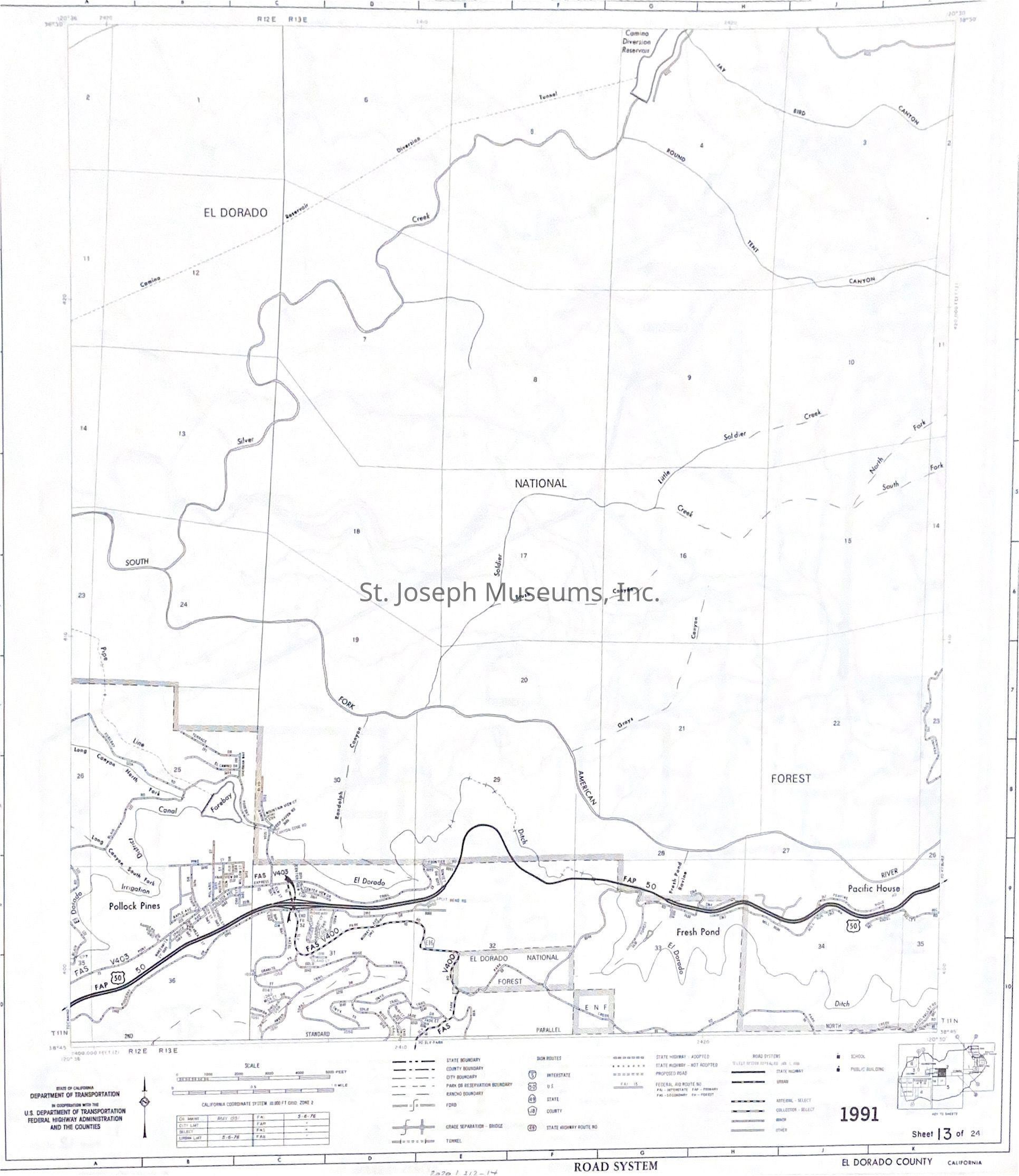
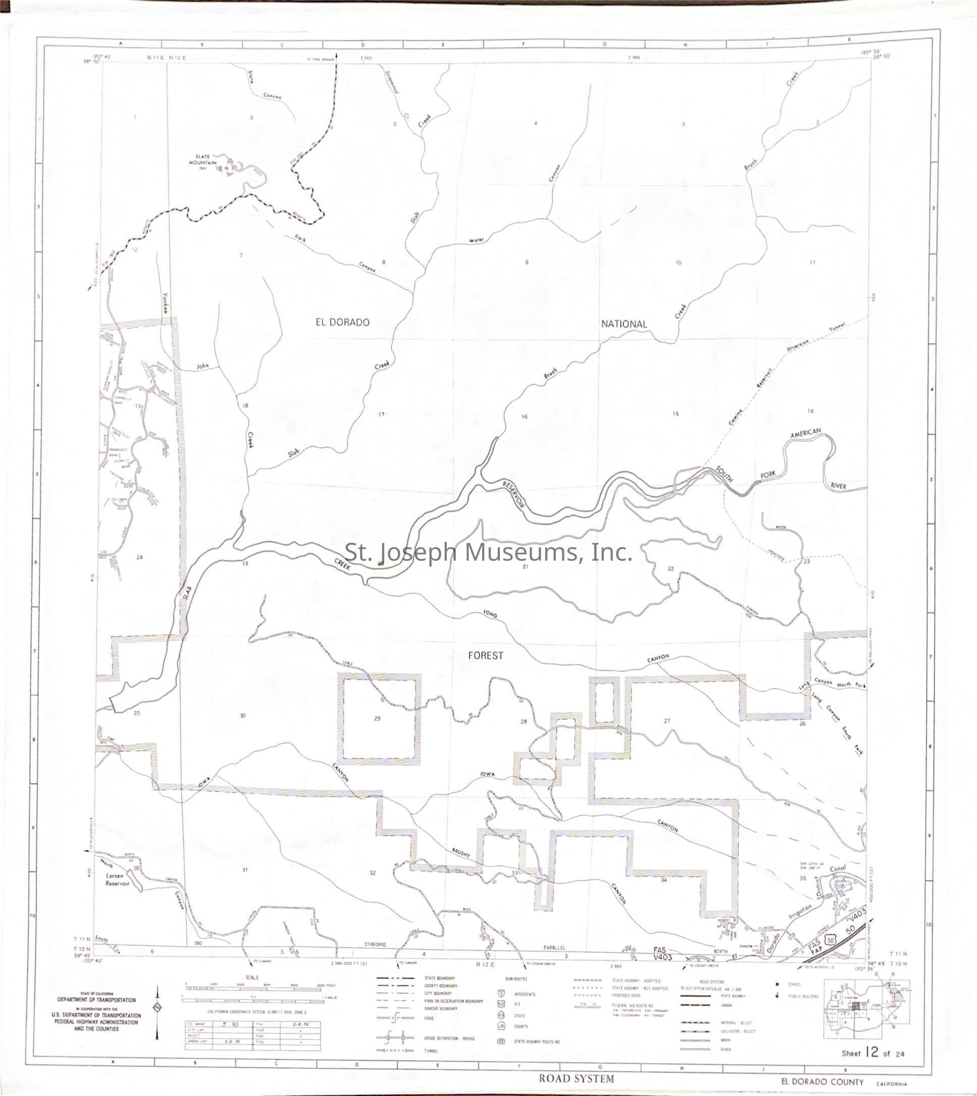
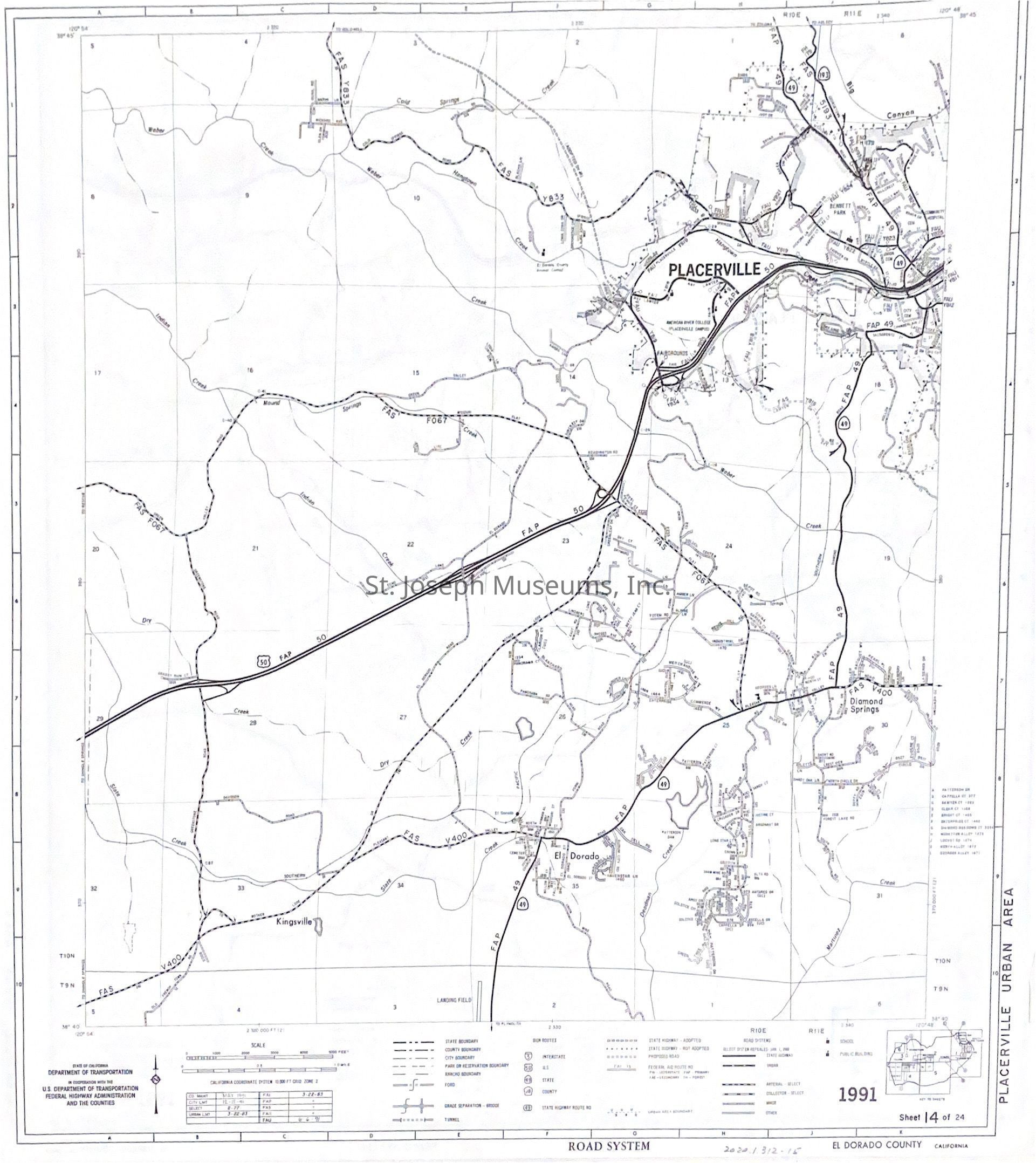
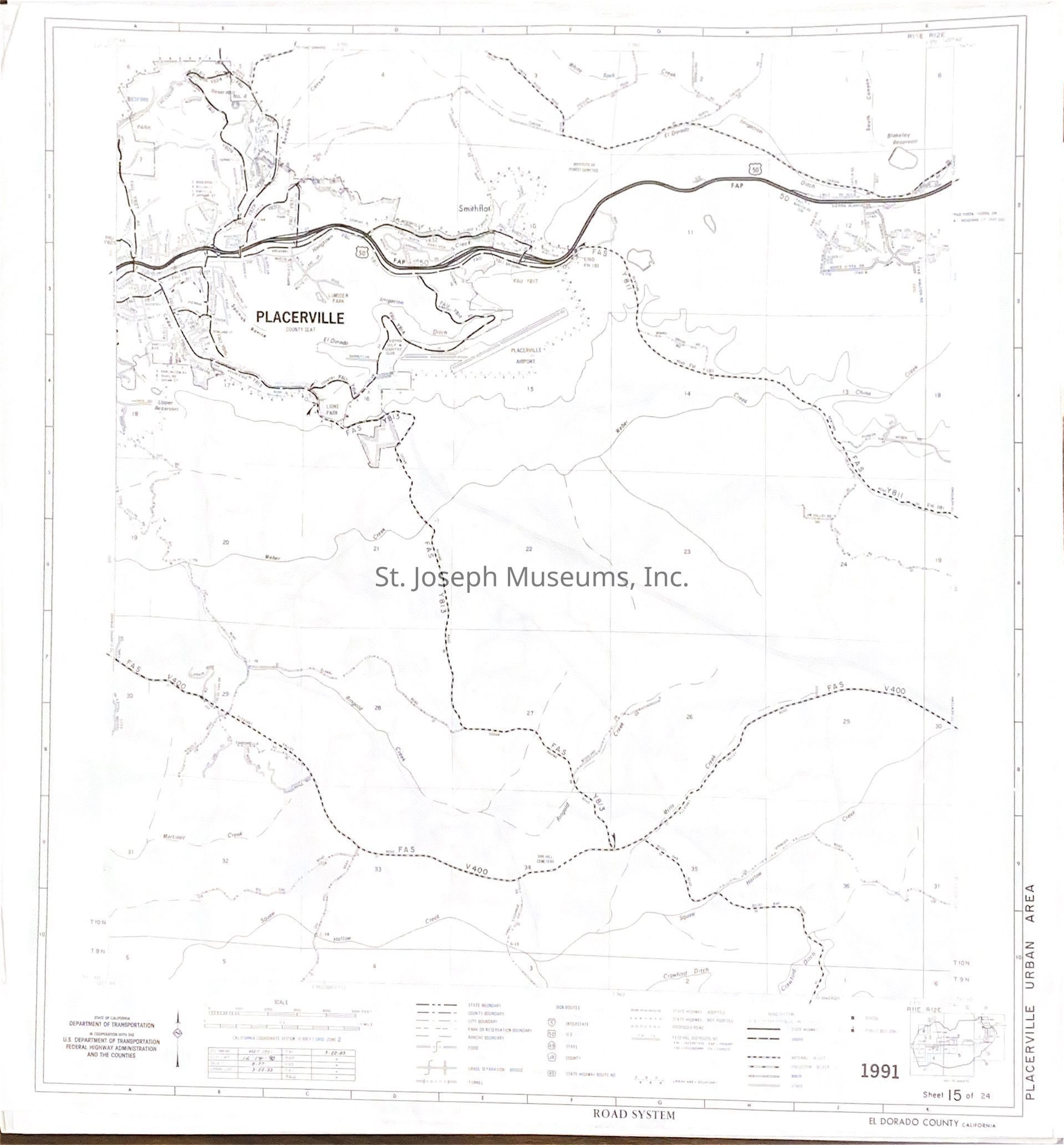
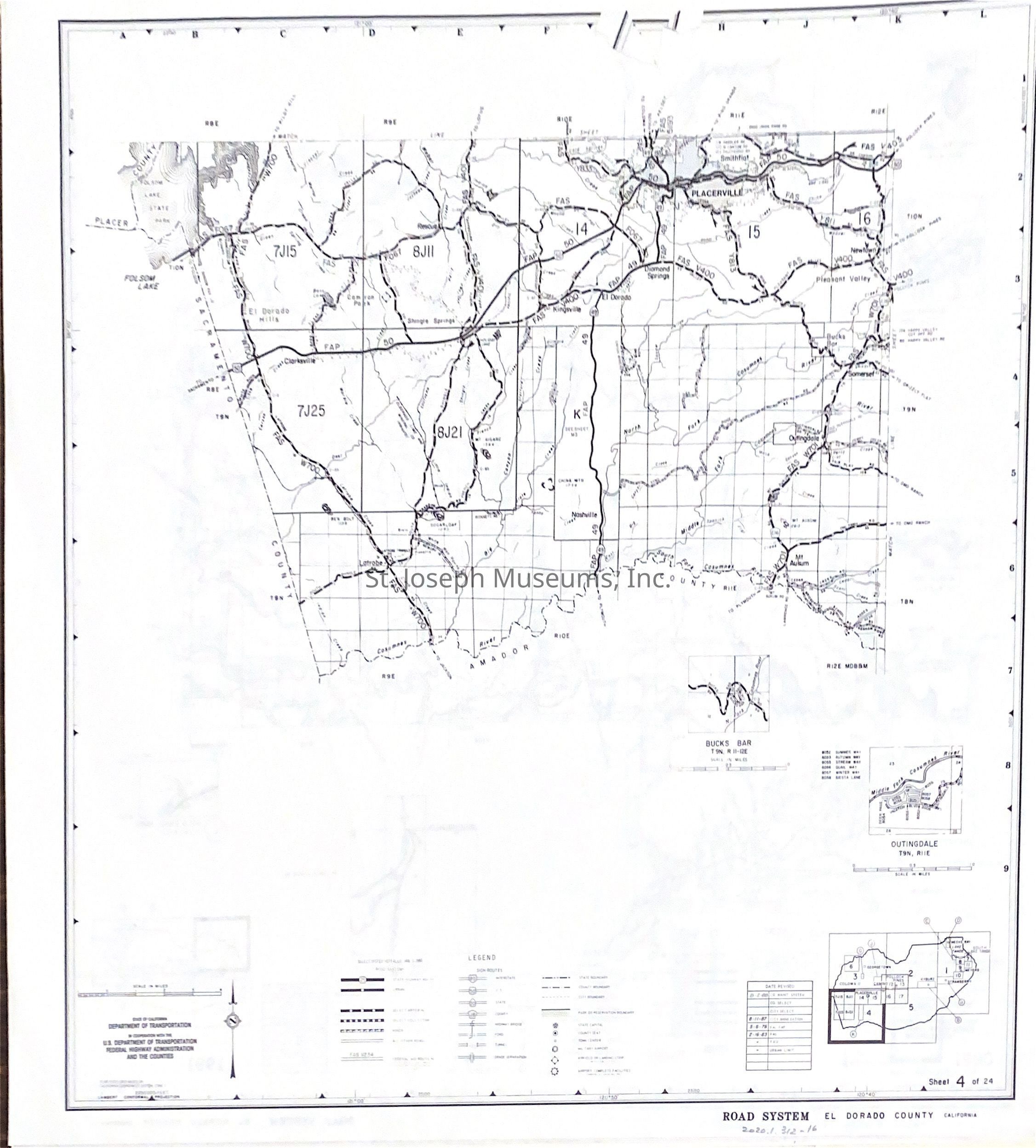
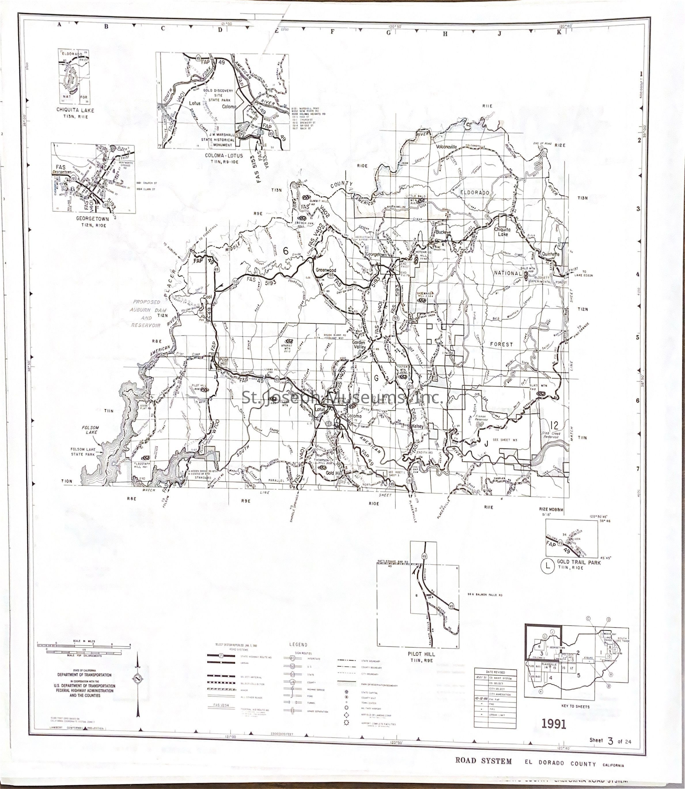
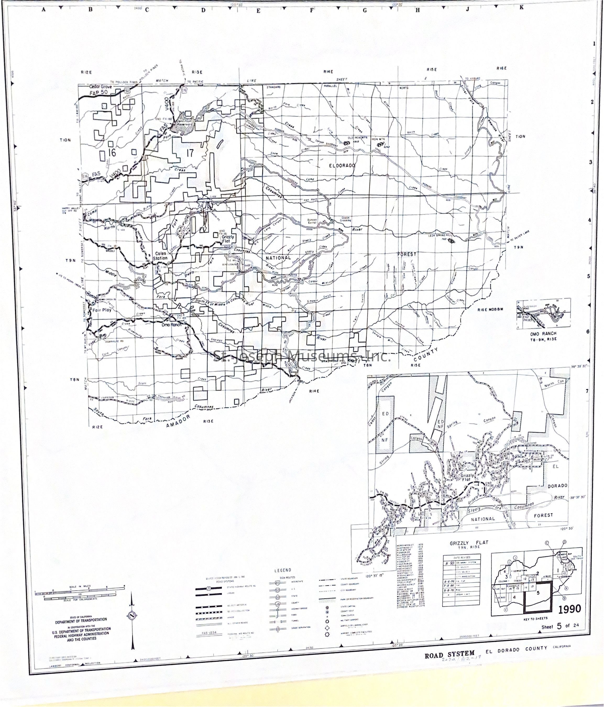
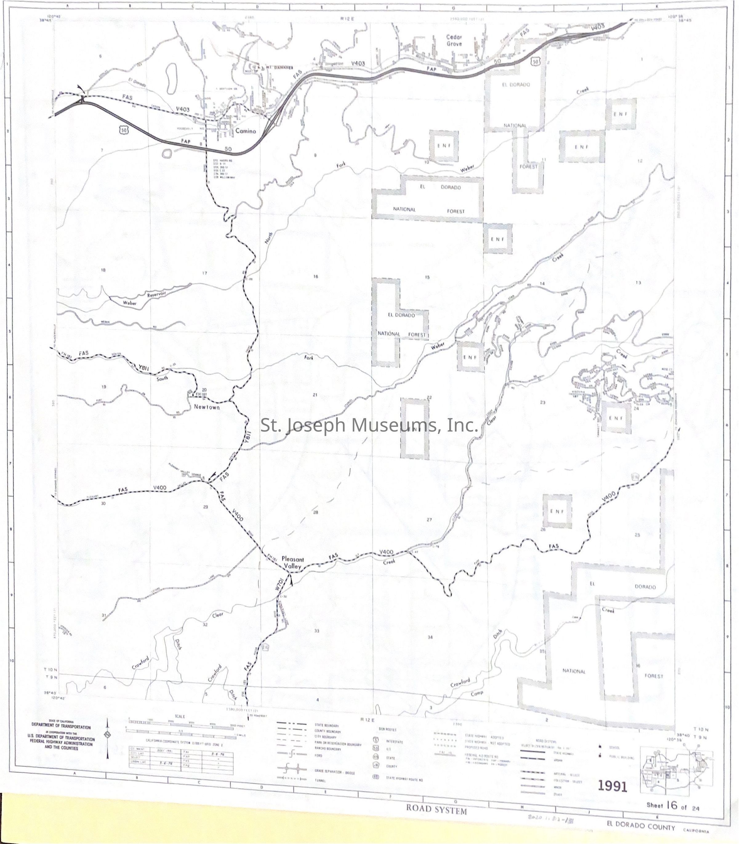
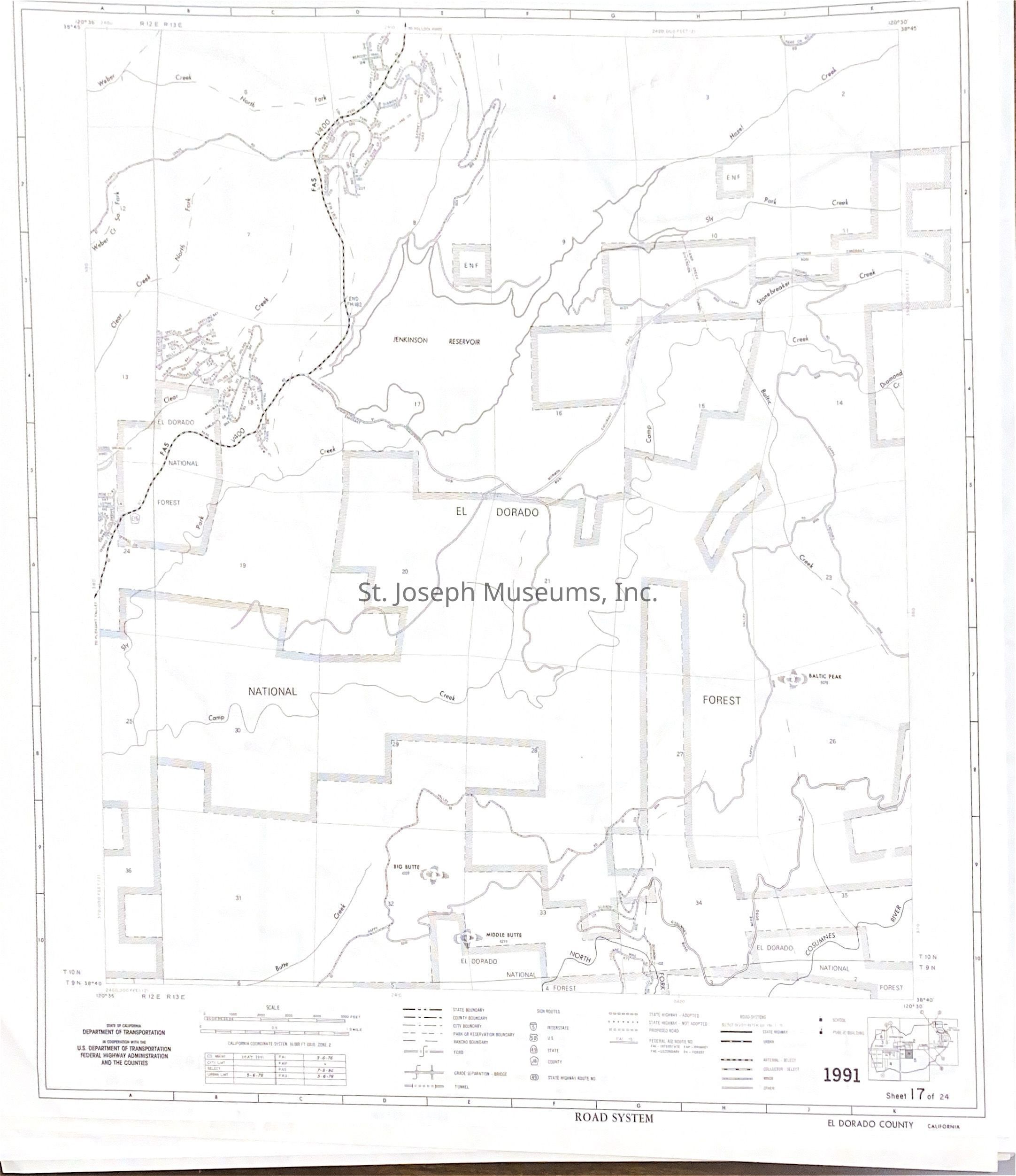
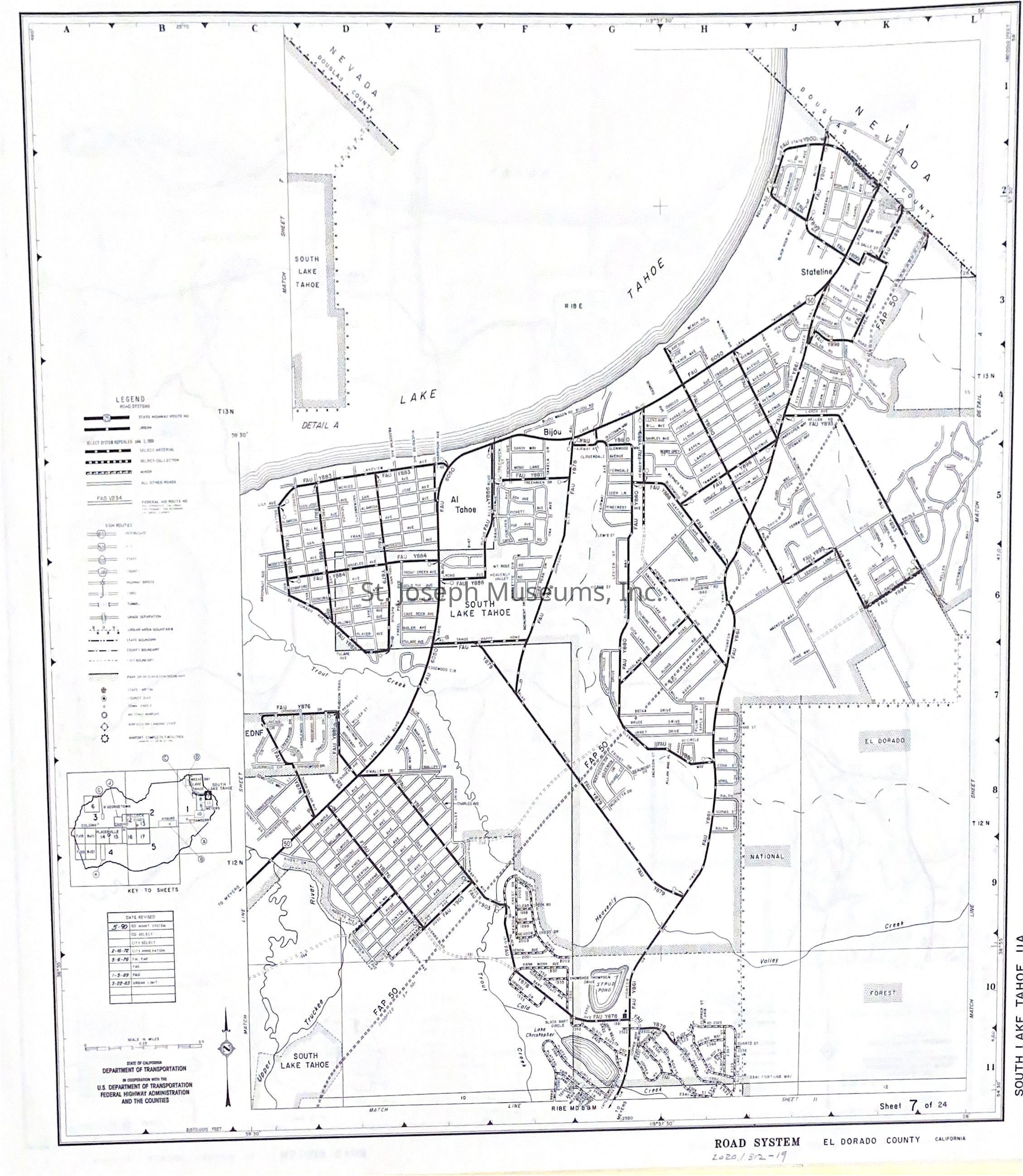
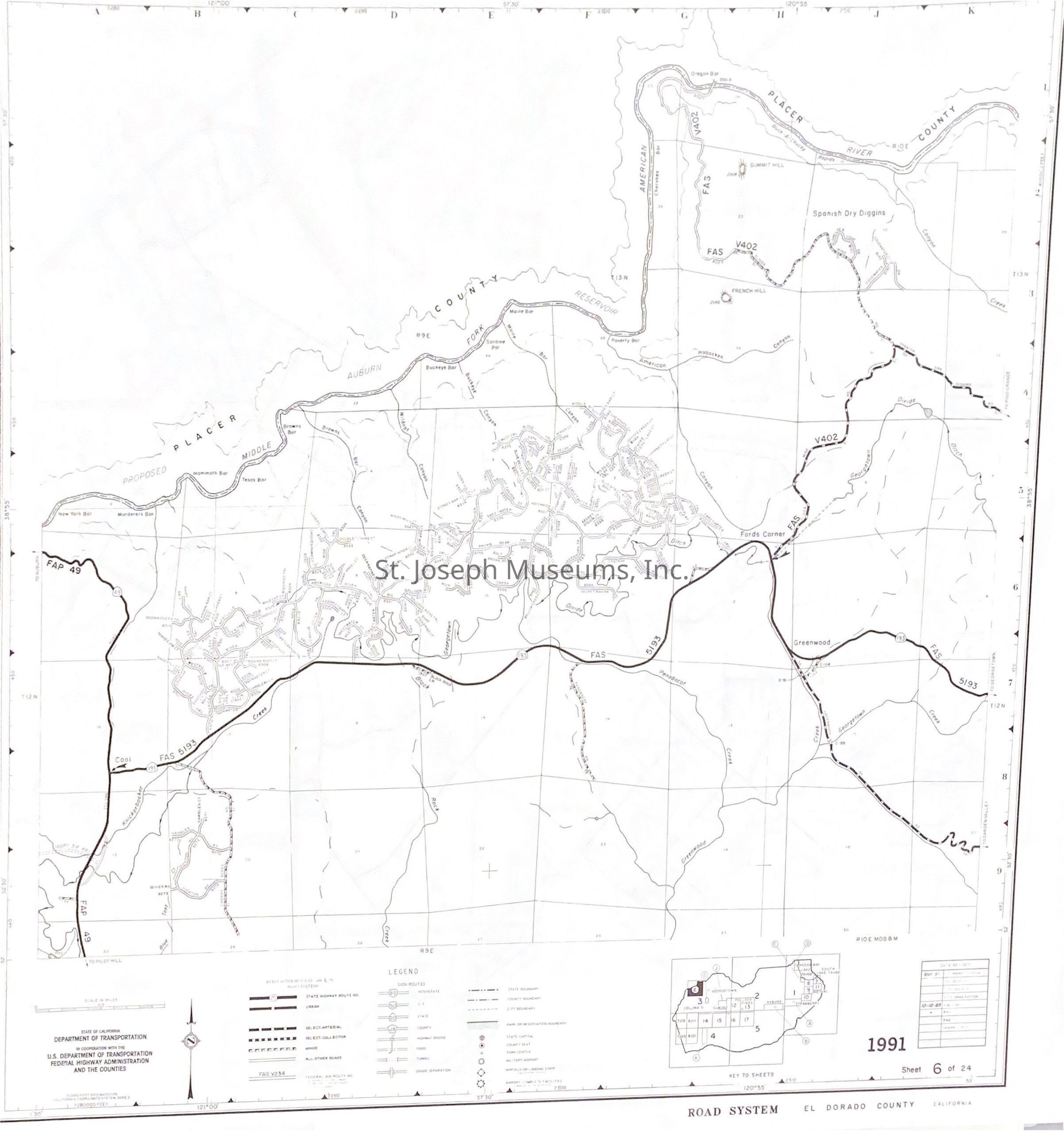
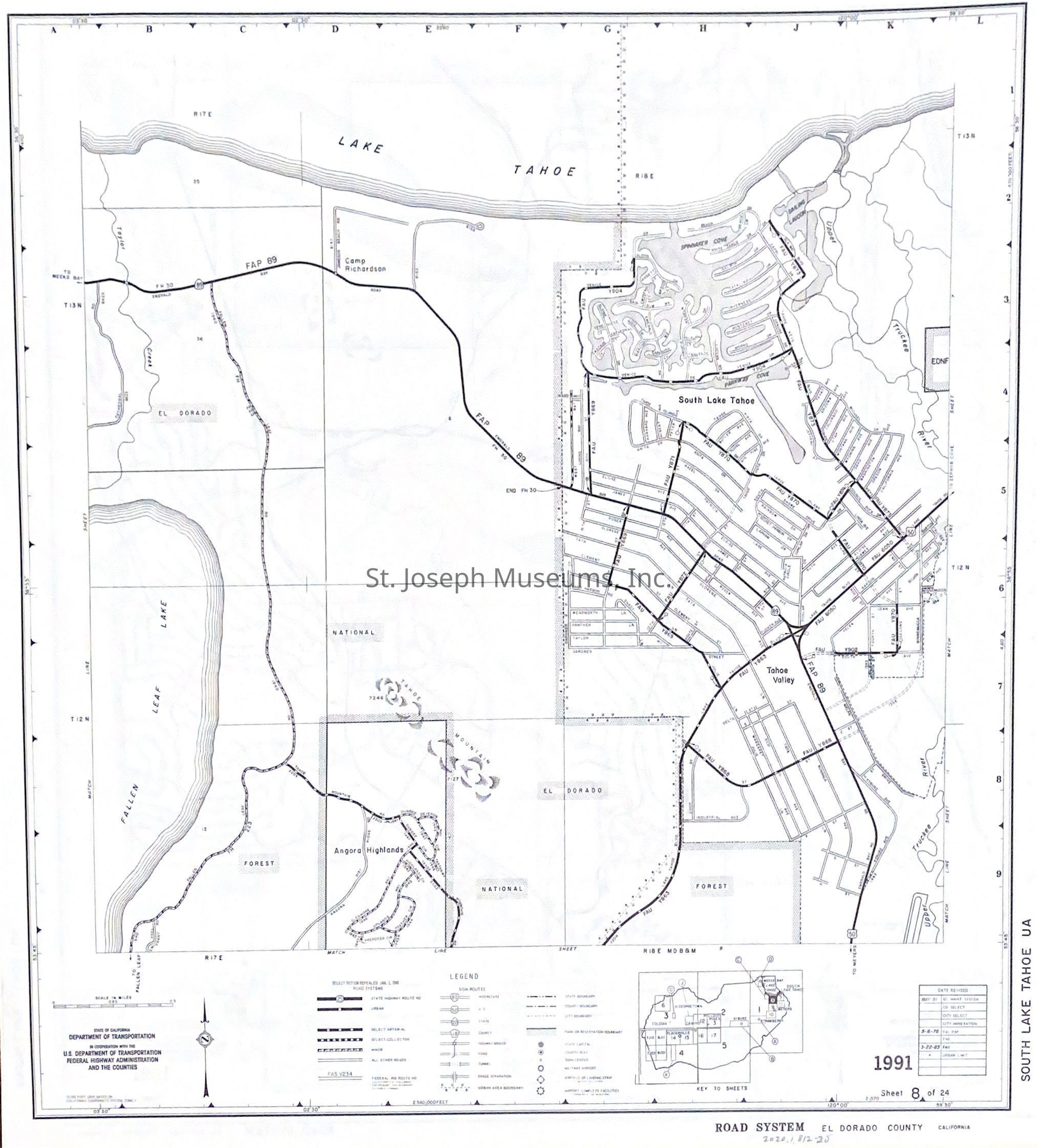
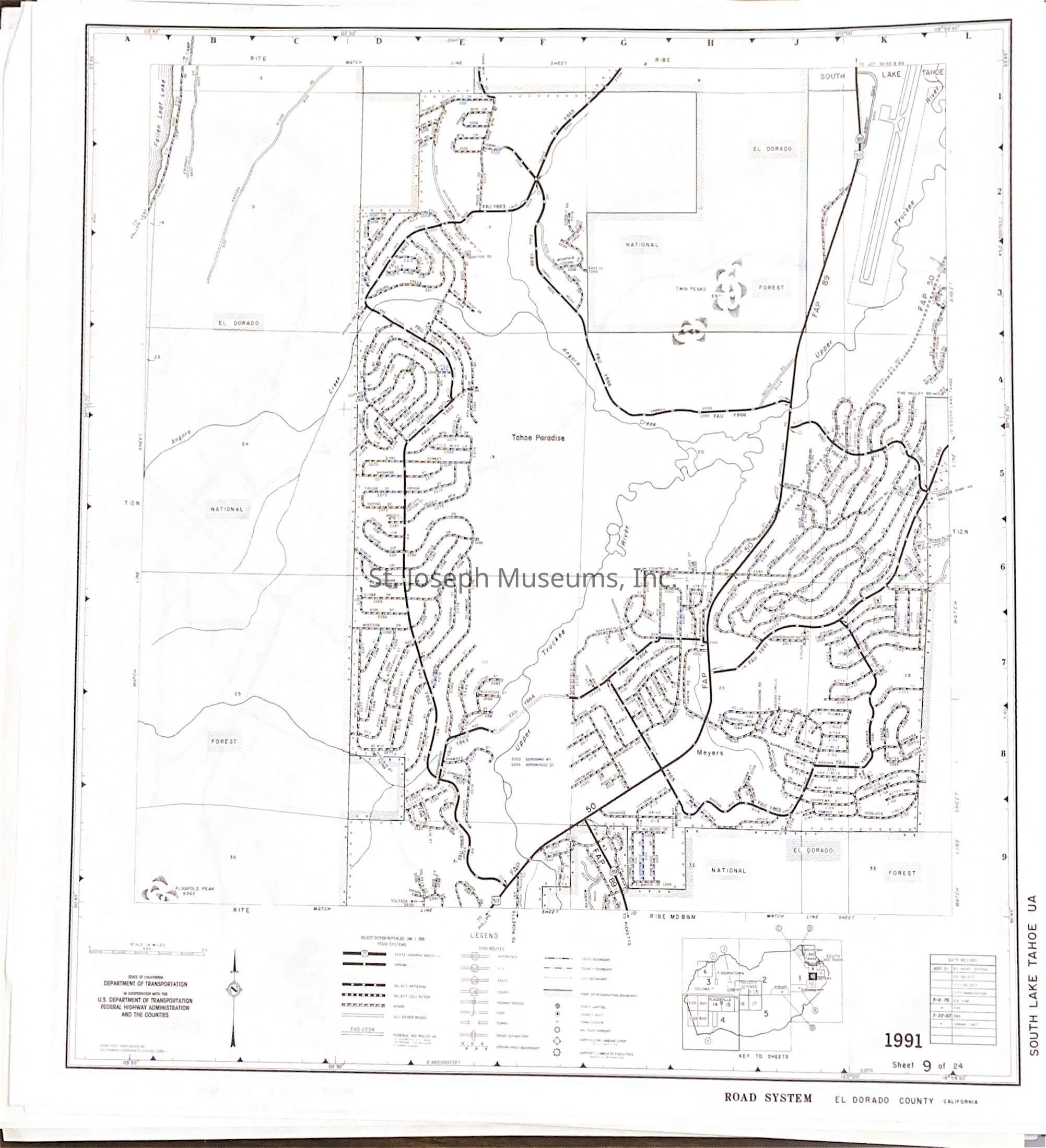
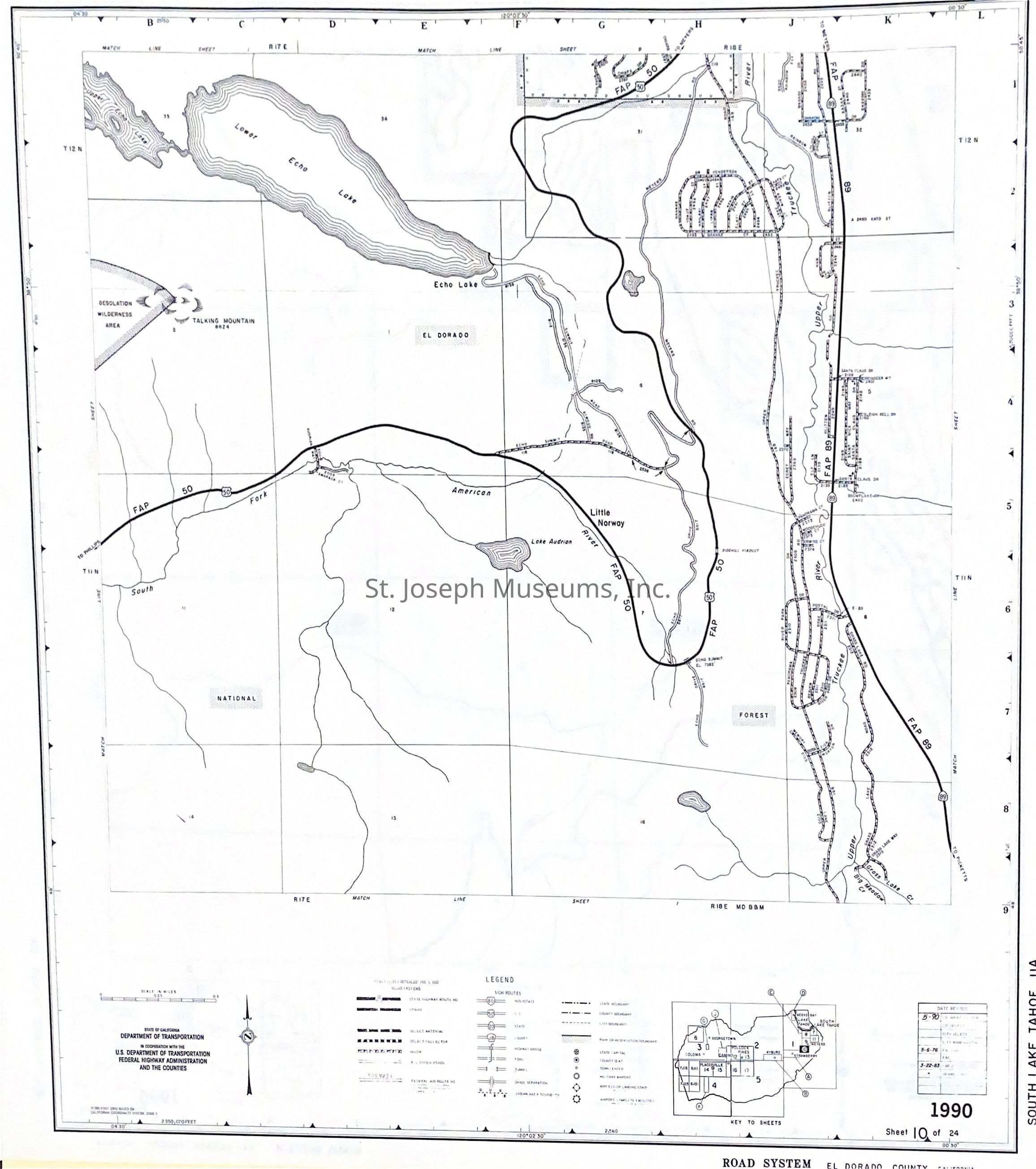
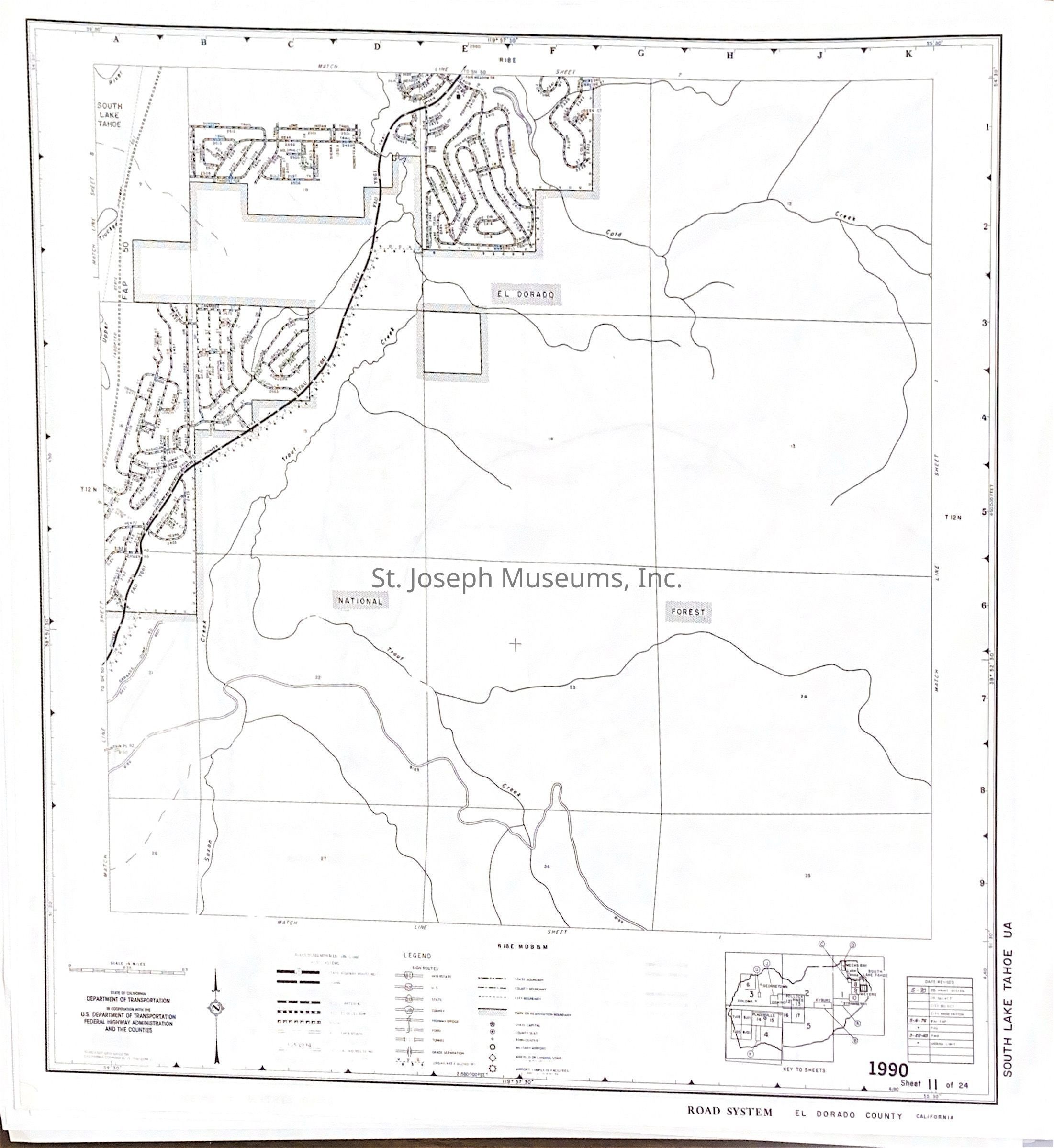
California Road Maps for Counties on the Pony Express Trail, 1991. Twenty-one highway maps from selected California counties through which the Pony Express Trail ran. Map dates range from 1987-1991.
Maps used by SJM staff when studying the route of the Pony Express. No markings other than original lines on map.
Counties include:
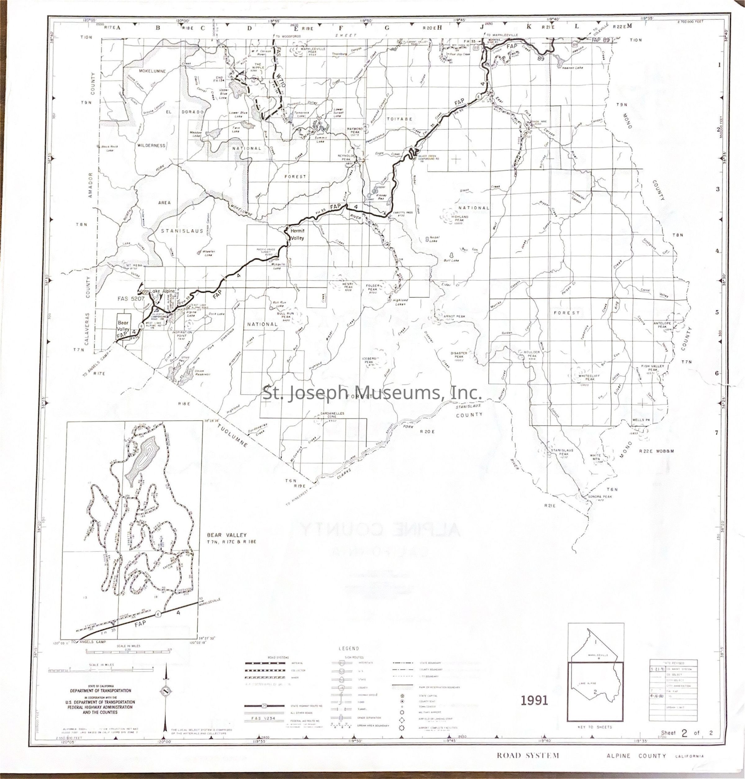
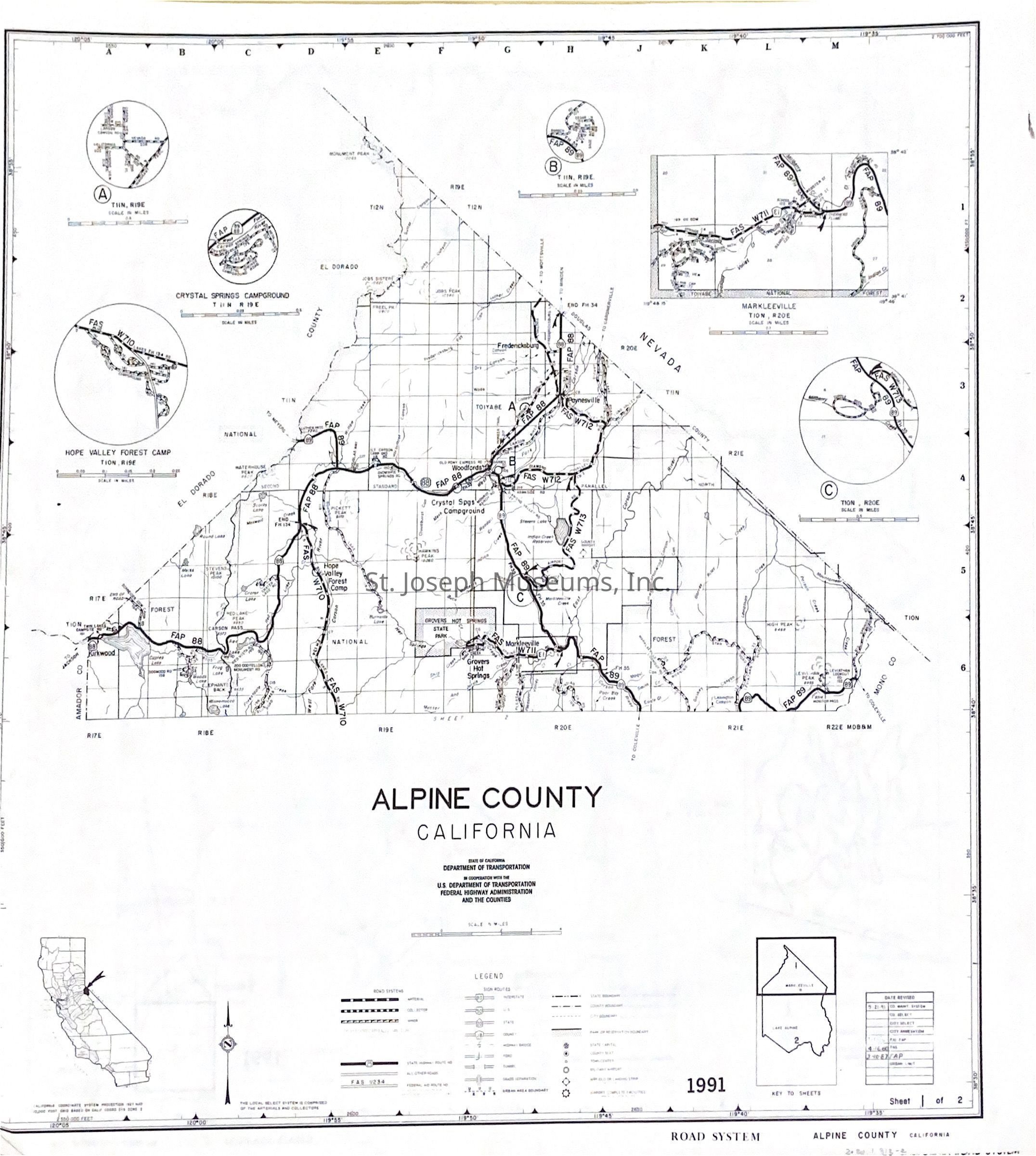
--Alpine County
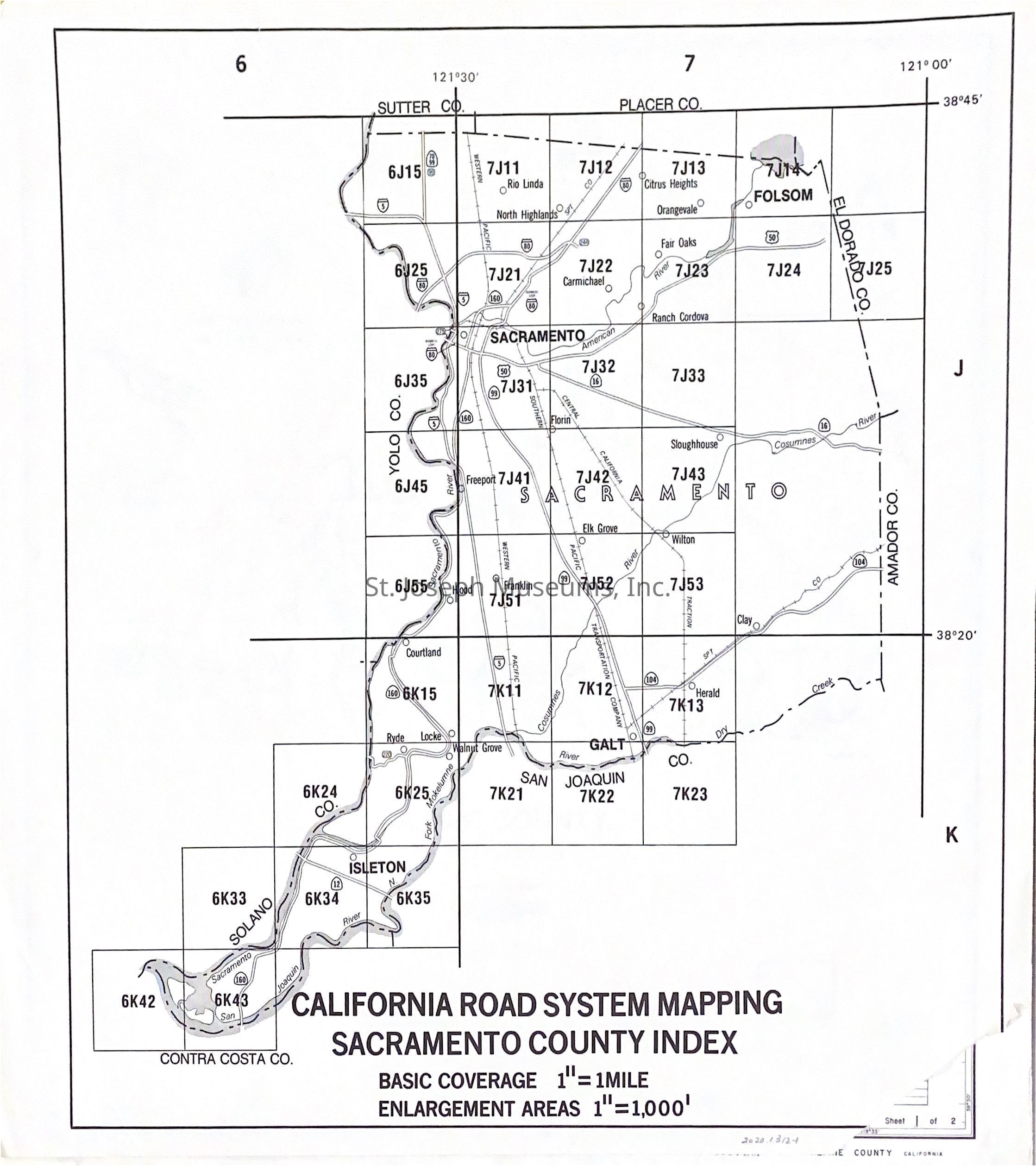
--Amador--El Dorado-Placer-Sacramento-Sutter-Yolo Counties
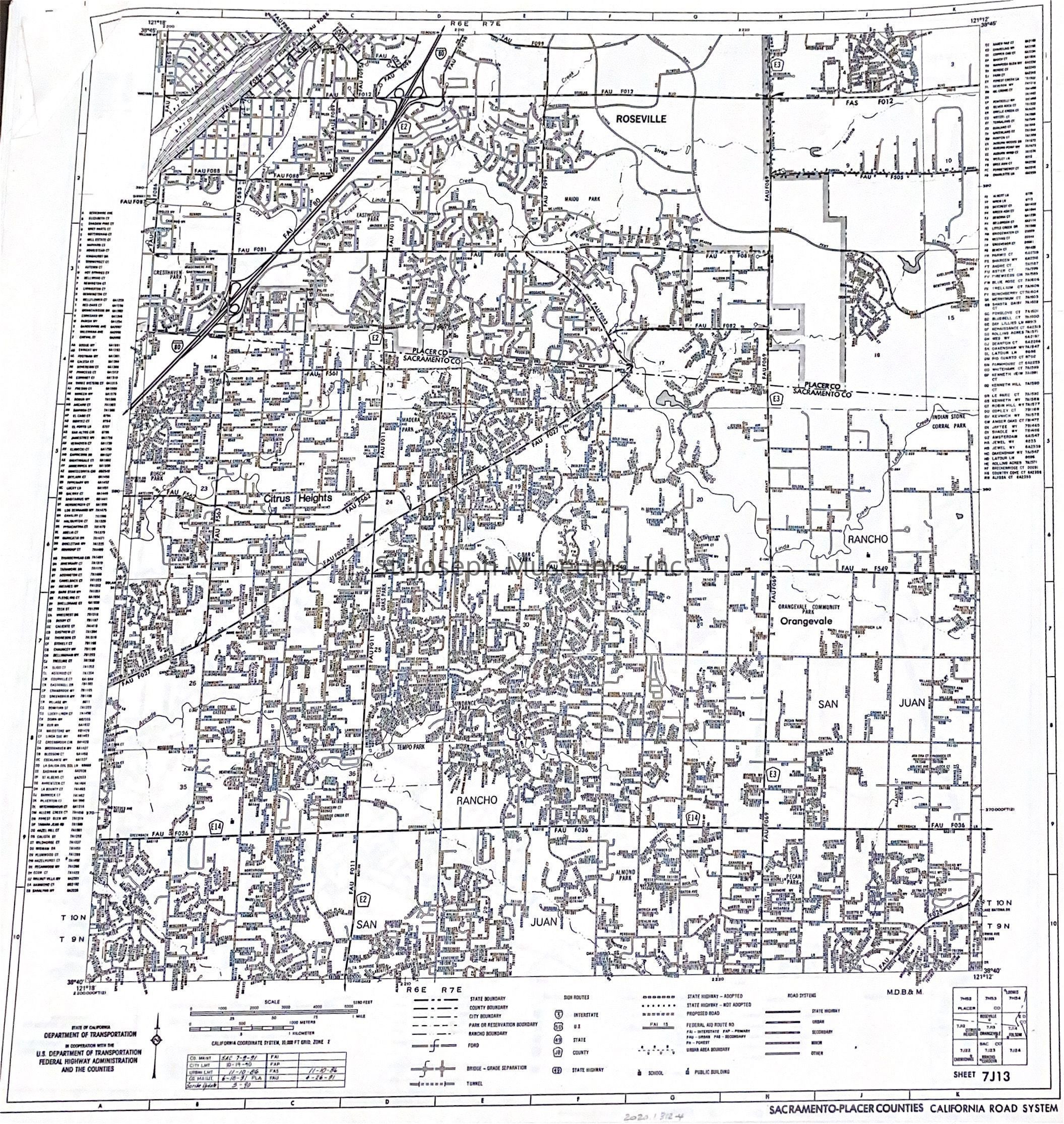
--Sacramento-Placer Counties
--Placer-El Dorado, Sacramento Counties
--El Dorado-Sacramento Counties
--Sacramento County
--El Dorado County