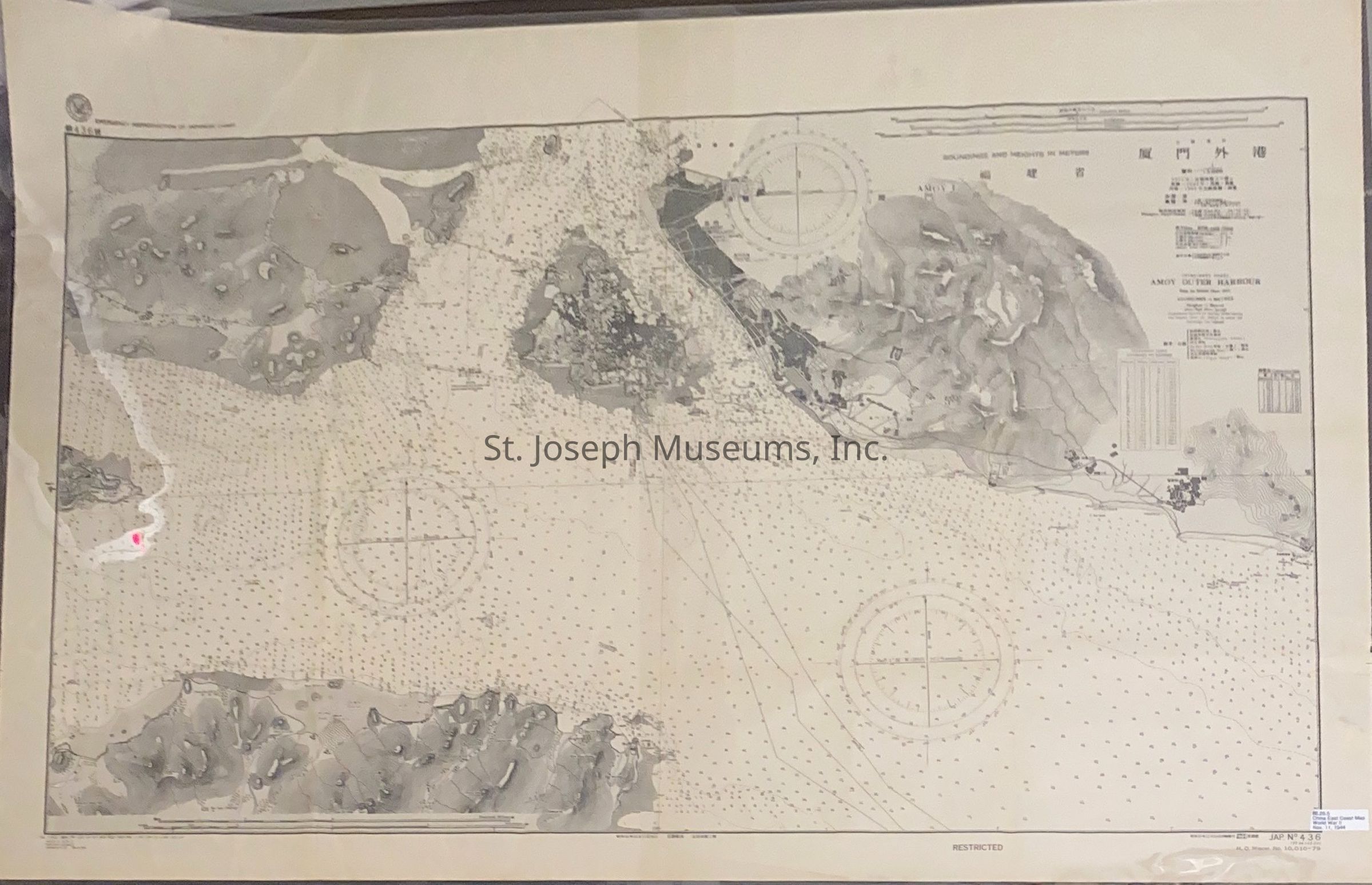
China-East Coast Amoy Outer Harbor Map, 1944

Name/Title

China-East Coast Amoy Outer Harbor Map, 1944

Entry/Object ID

1986.26.5

Scope and Content

China-East Coast Amoy Outer Harbor Map, 1944. Sounding and heights in meters. "Emergency reproduction of Japanese Chart" printed in corner. Oriental characters as well as English on chart. Nov. 11, 1944 stamped in corner. Belonged to donor's son. Willard S. Boller. He served in the Navy during W.W.II in the South Pacific. His birthday was January 13, 1921 - death date was April 14, 1986.
Collection

WORLD WAR II

Lexicon

Nomenclature 4.0

Nomenclature Secondary Object Term

Map

Nomenclature Primary Object Term

Cartograph

Nomenclature Sub-Class

Graphic Documents

Nomenclature Class

Documentary Objects

Nomenclature Category

Category 08: Communication Objects

Search Terms

World War II, World War II in the Pacific

Condition

Overall Condition

Fair

Relationships

Related Entries

Notes

86.26.1 A, 86.26.1 B, 86.26.2, 86.26.3, 86.26.4, 86.26.6, P1986.026.00007, P1986.026.00008, P1986.026.00009, P1986.026.00010