Name/Title
City MapEntry/Object ID
2024.2.418Scope and Content
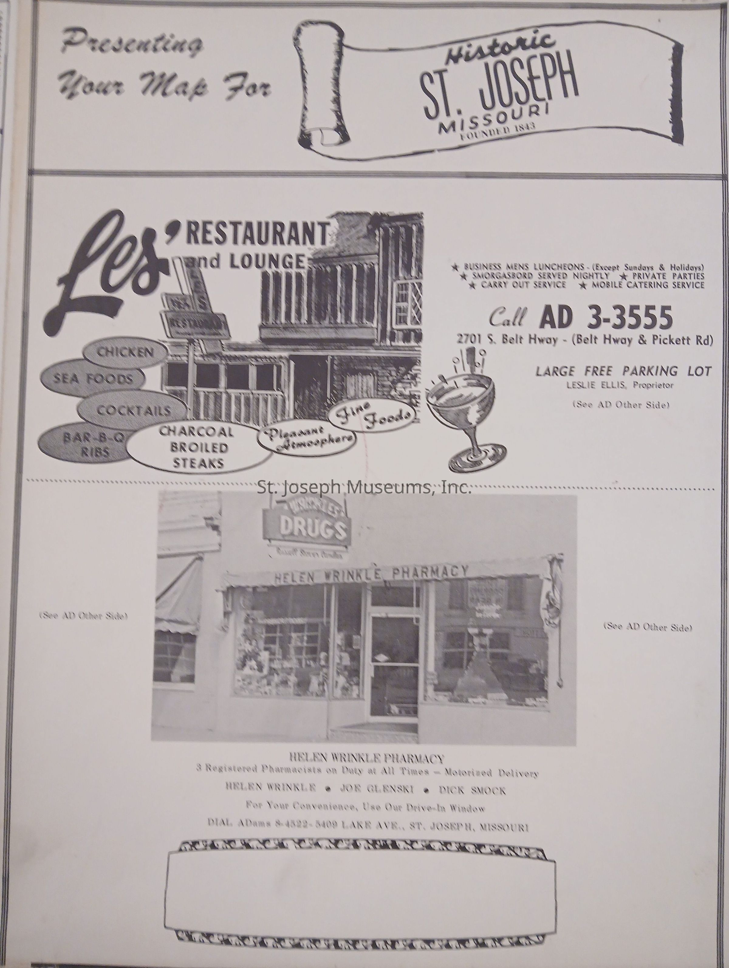
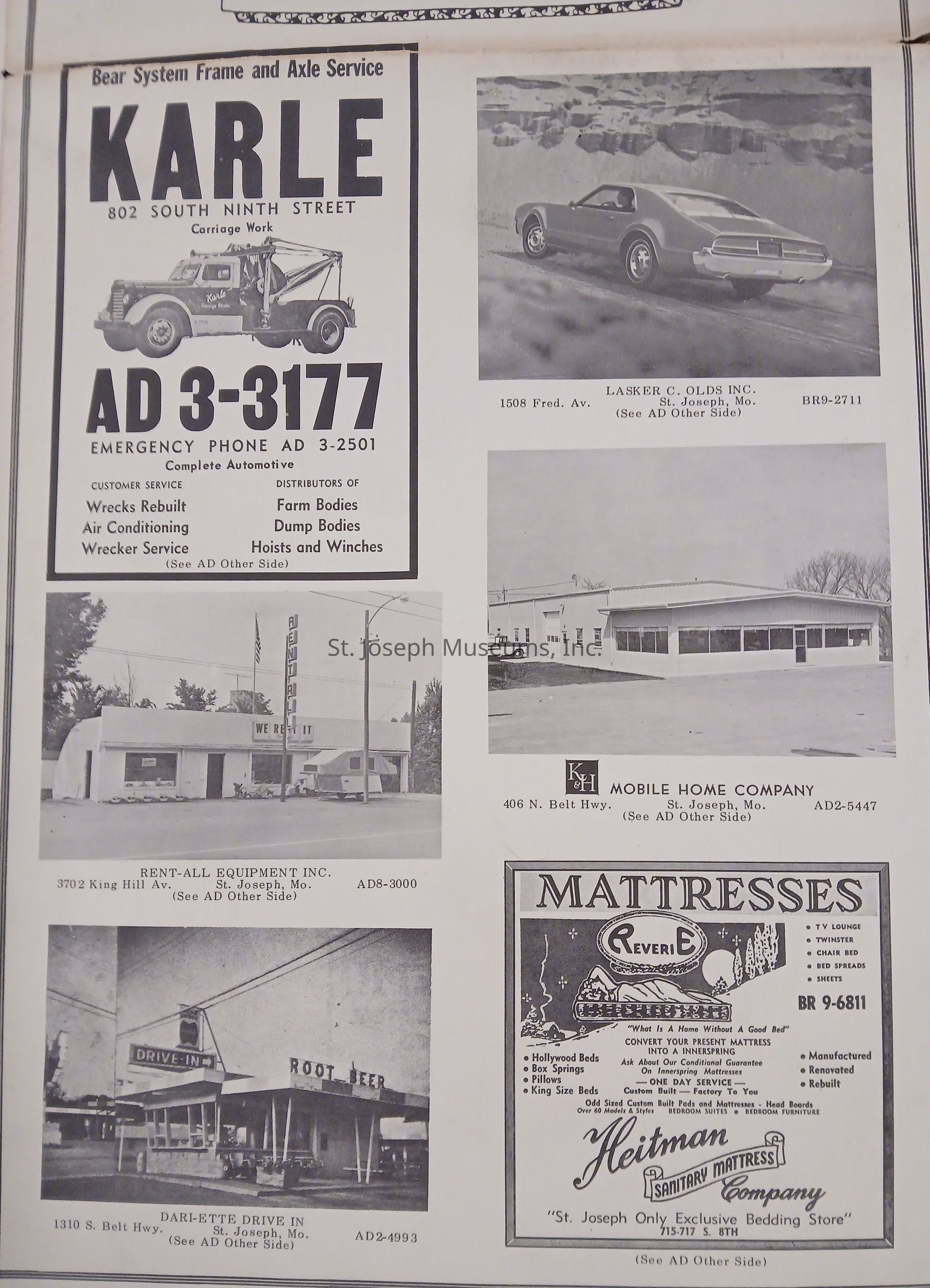
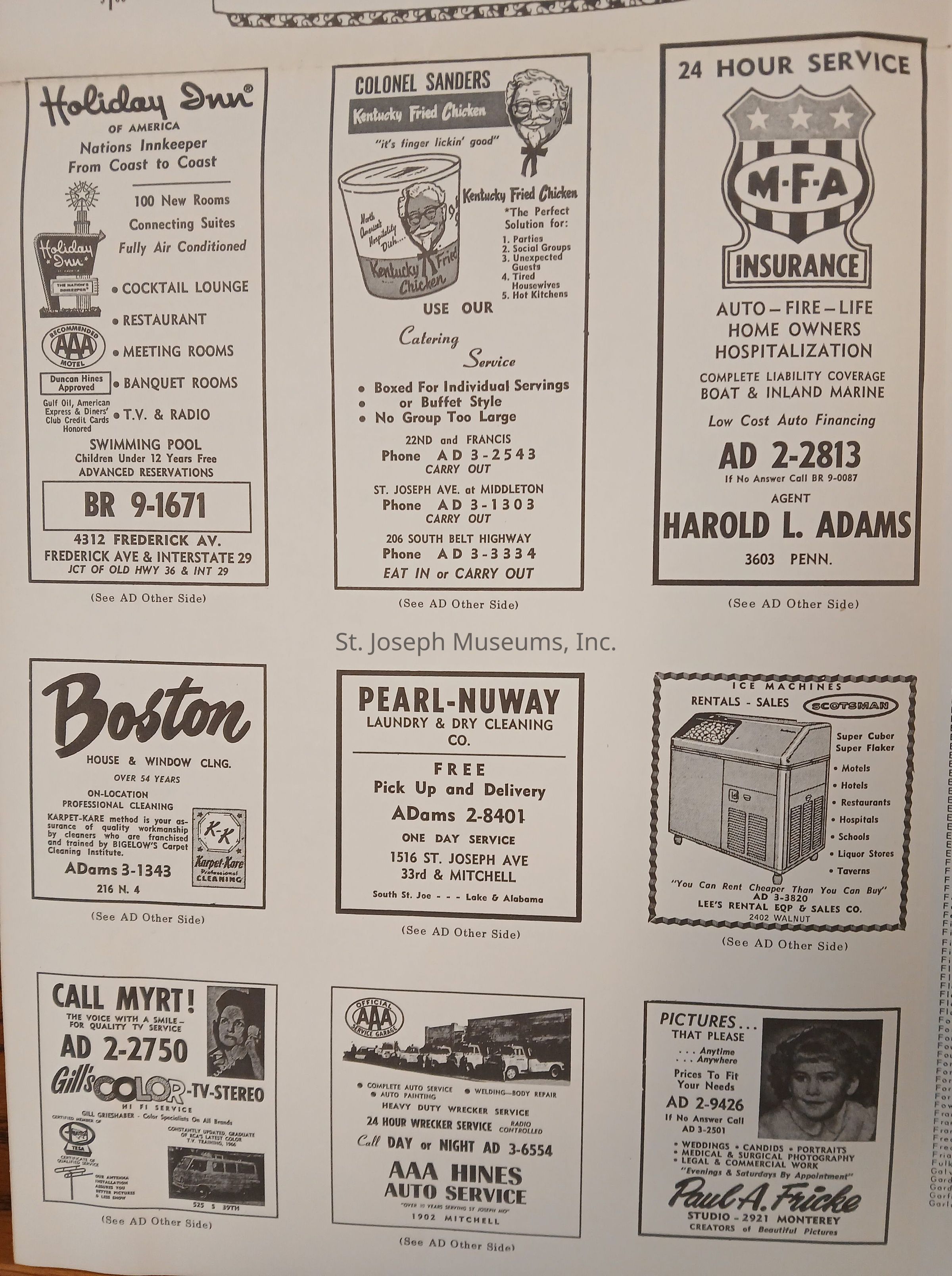
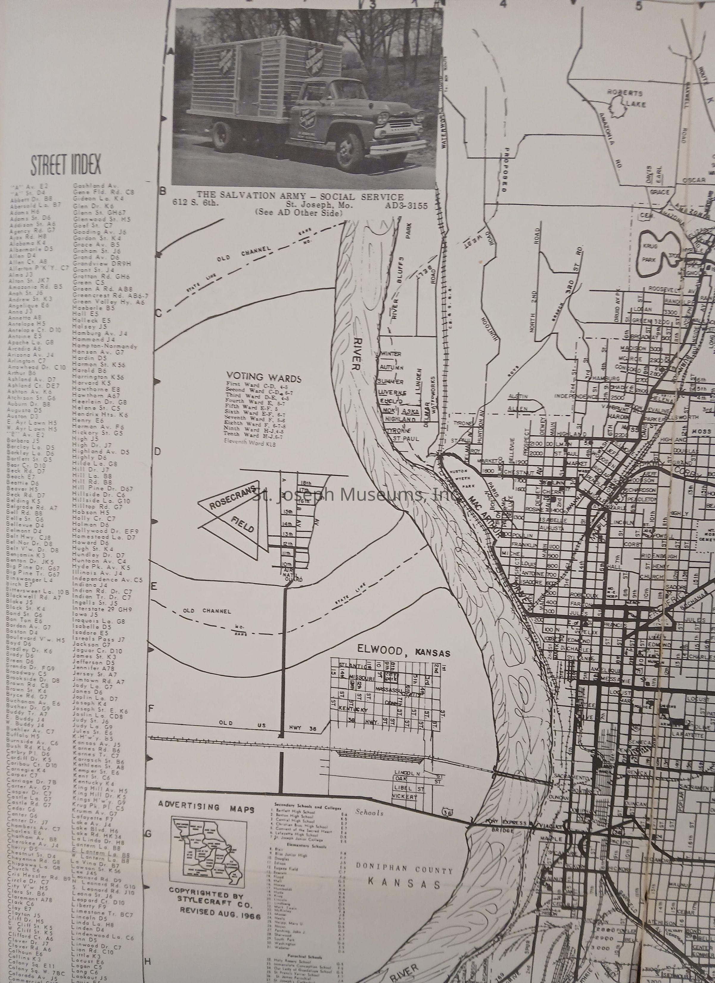
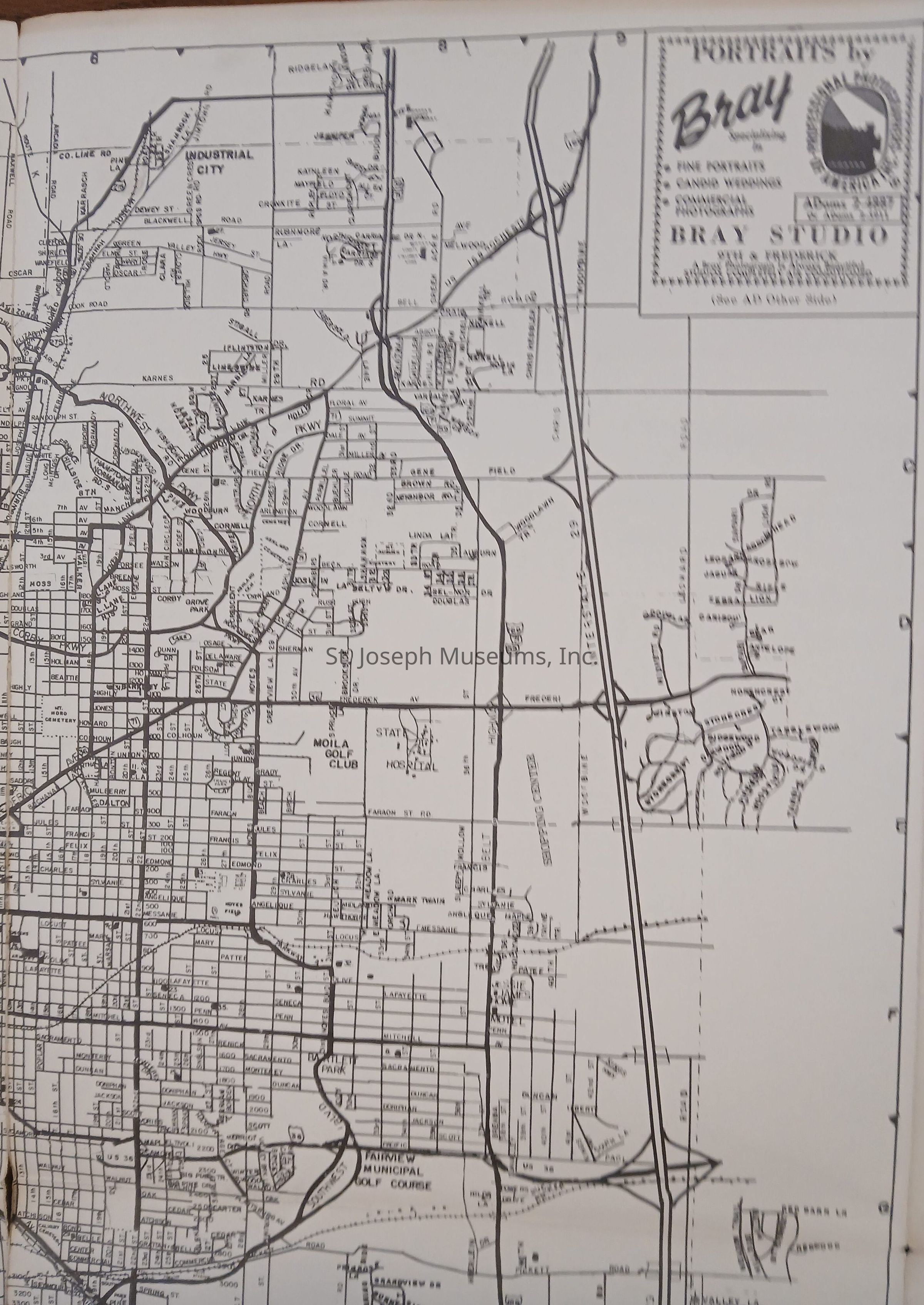
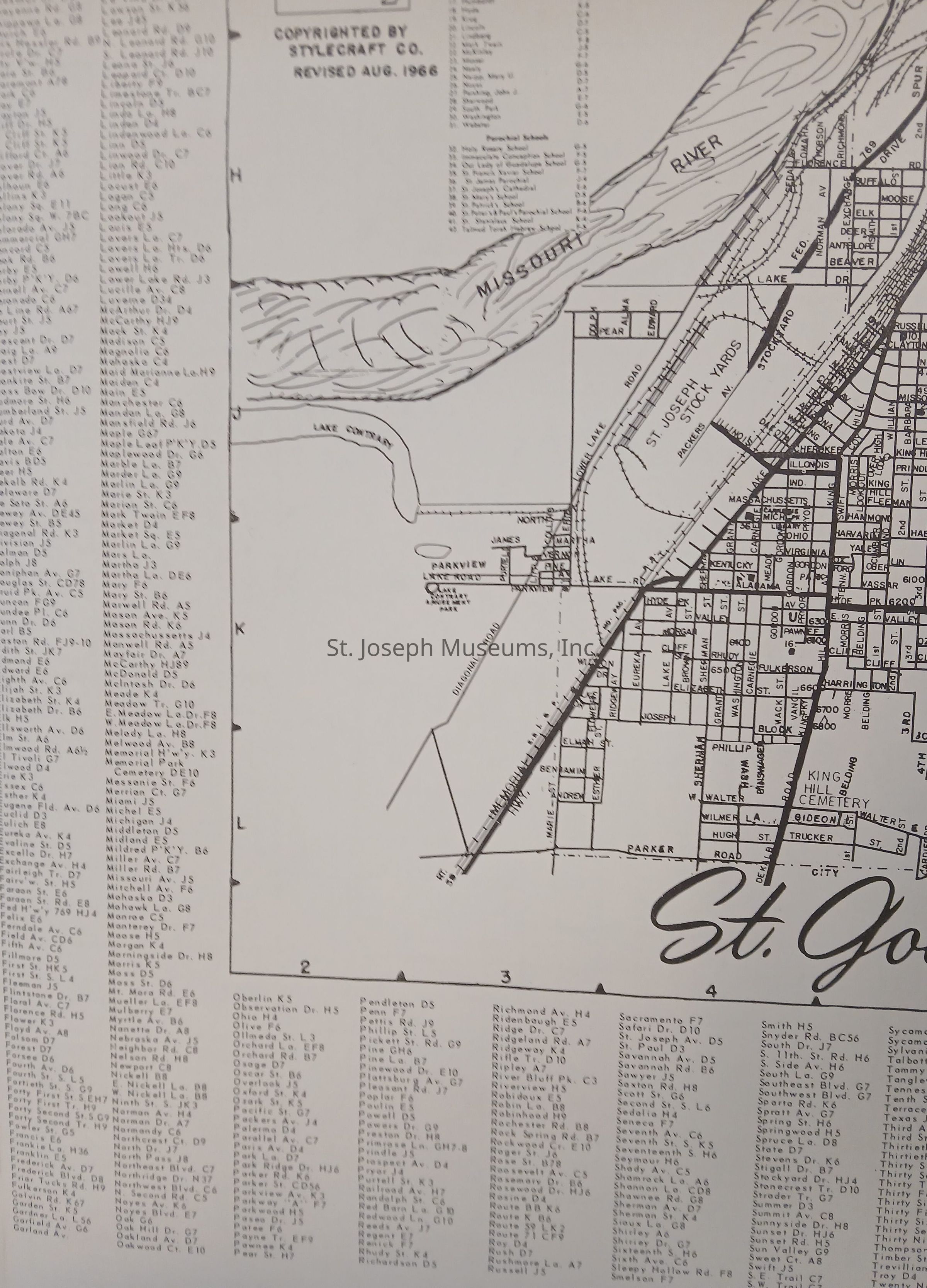
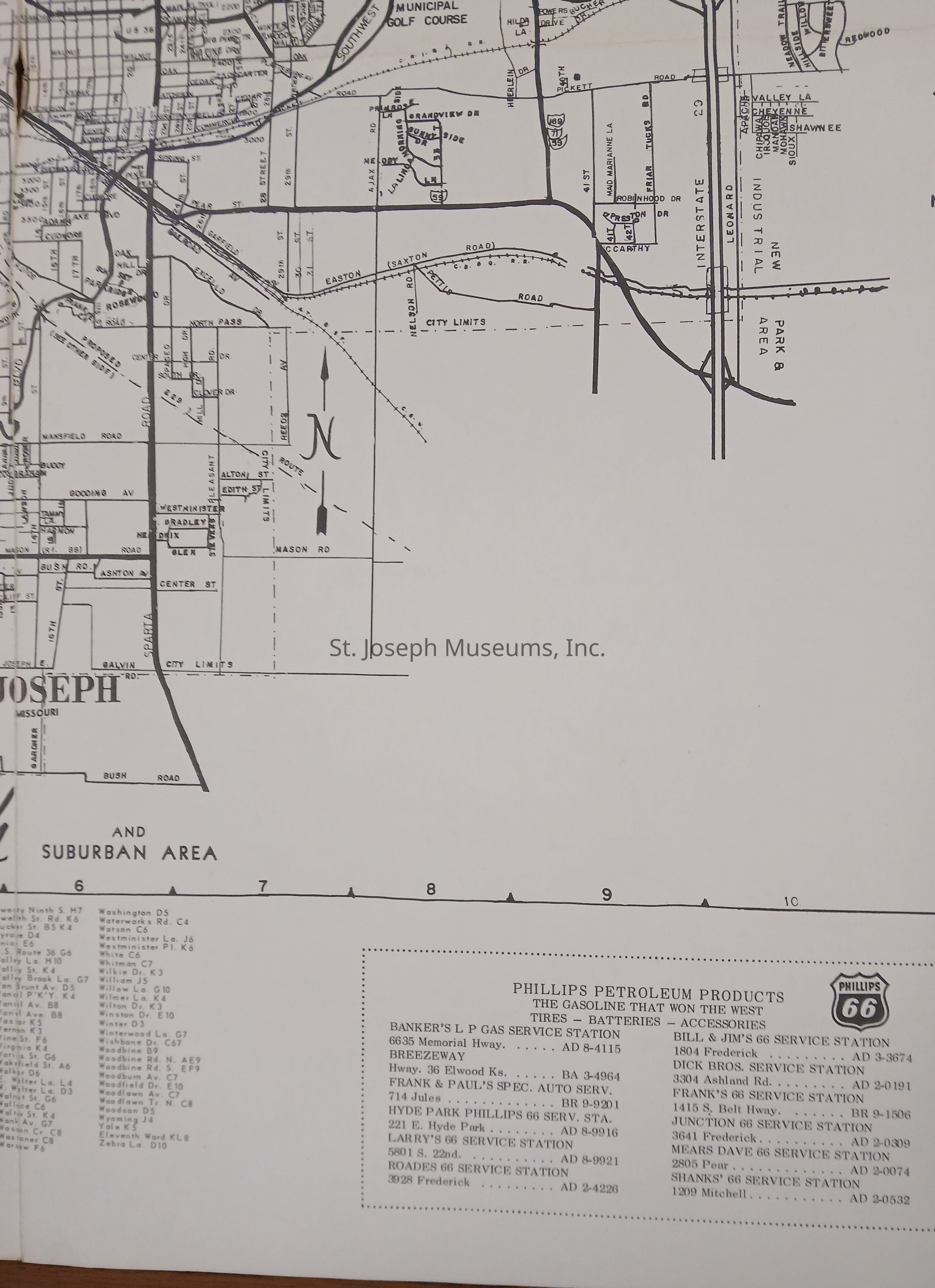
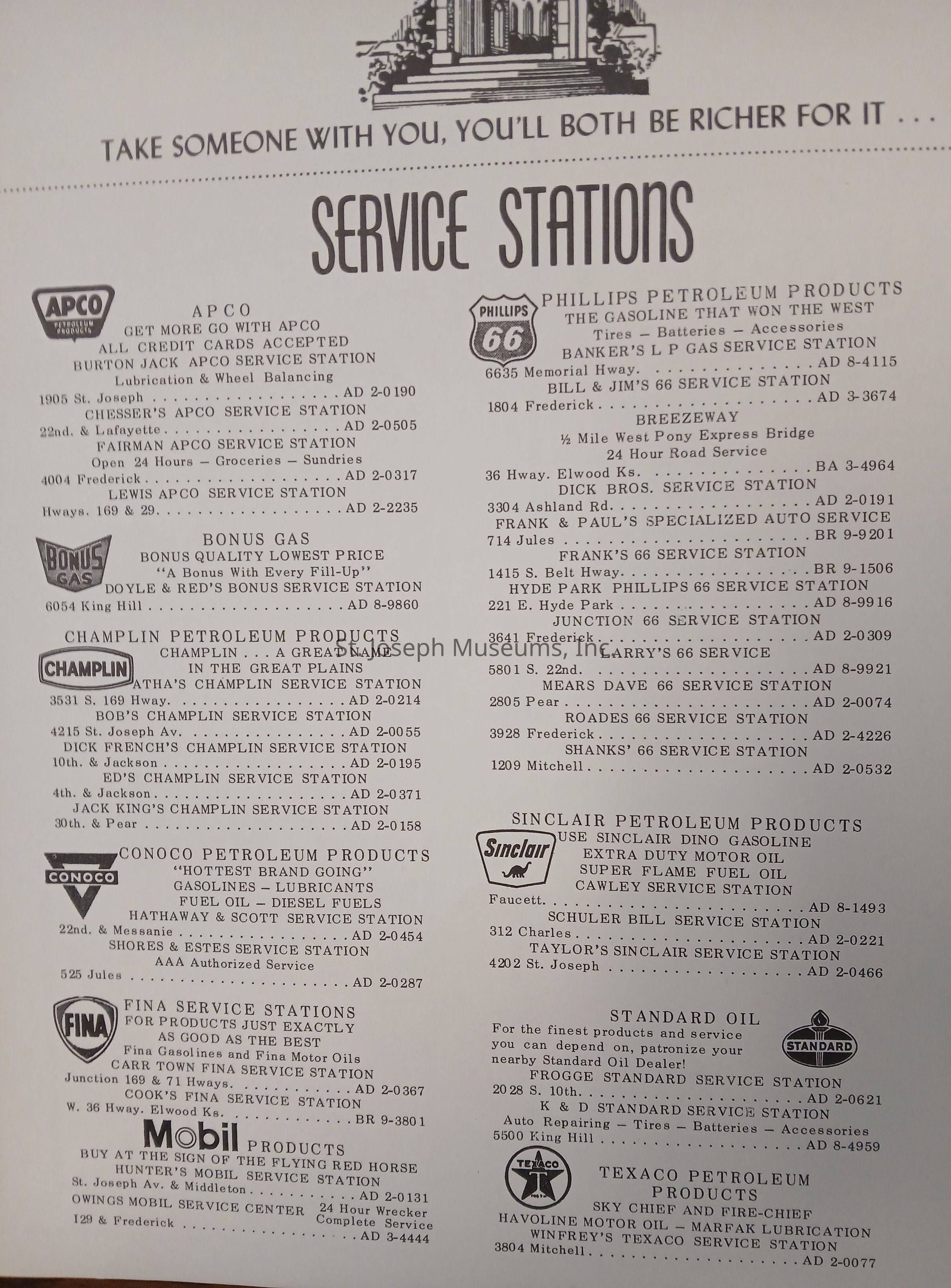
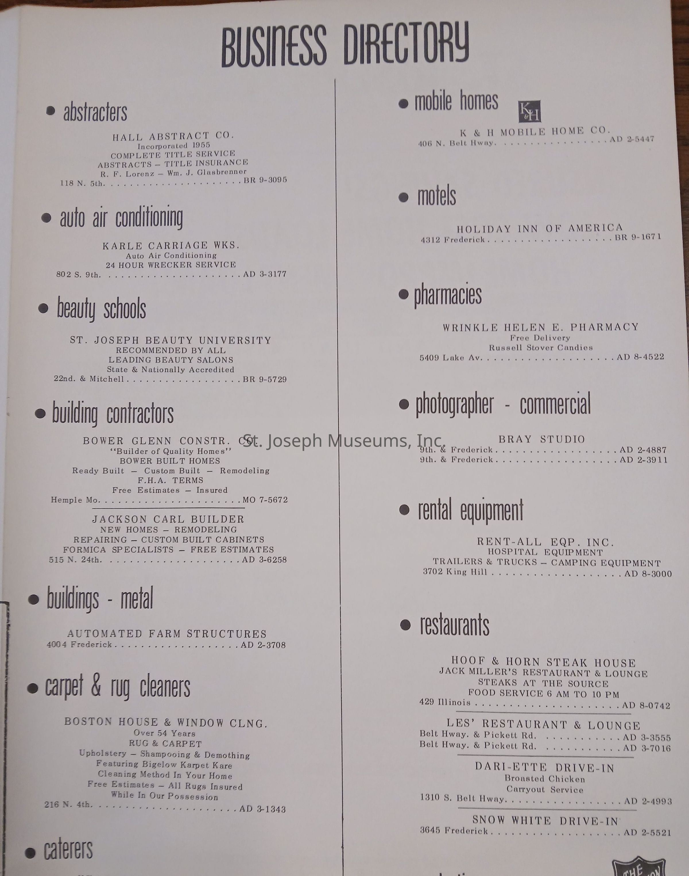
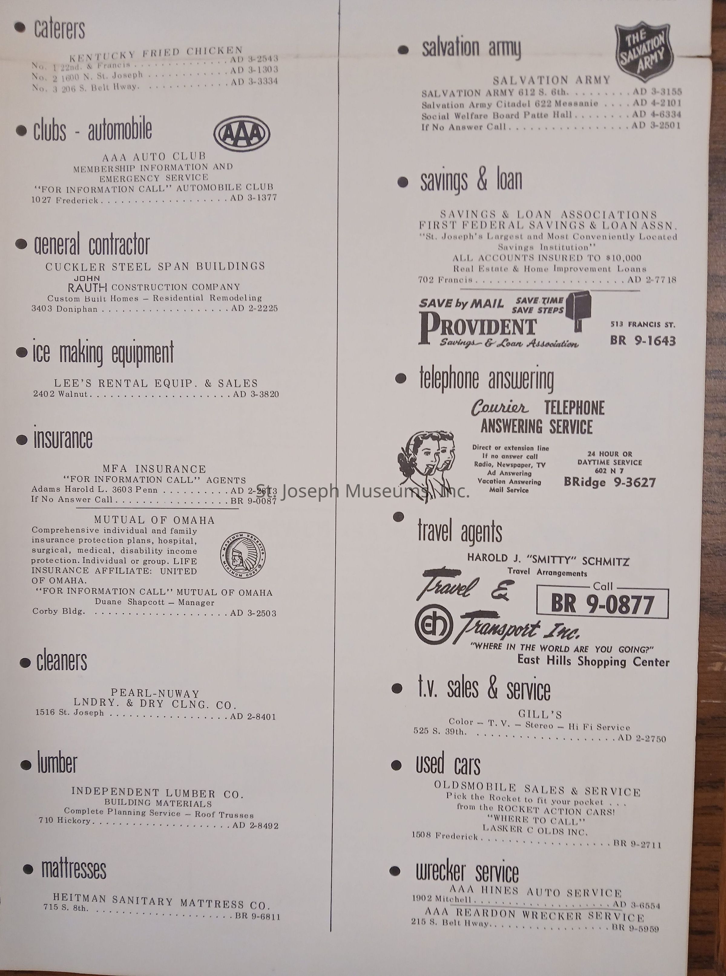
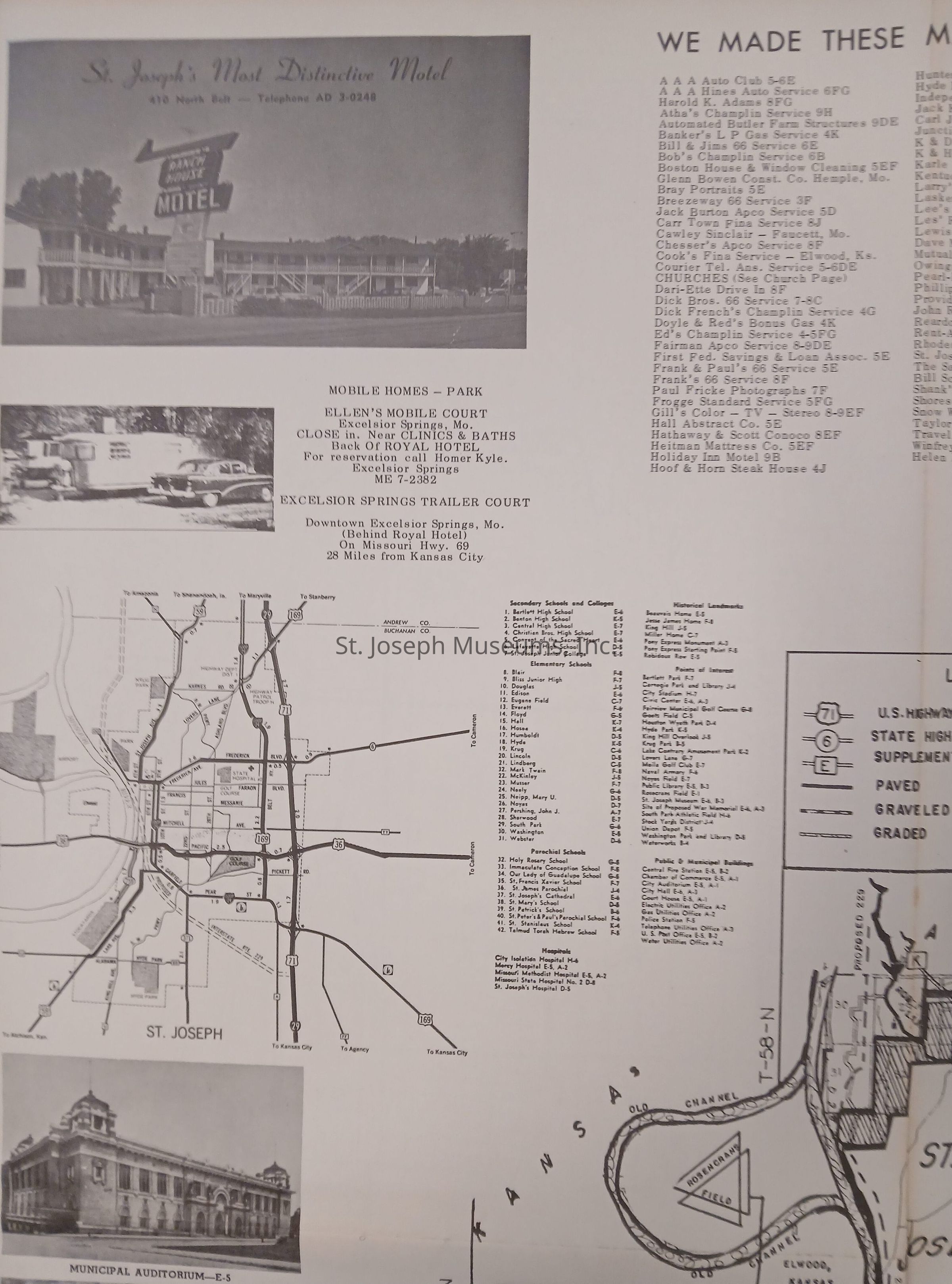
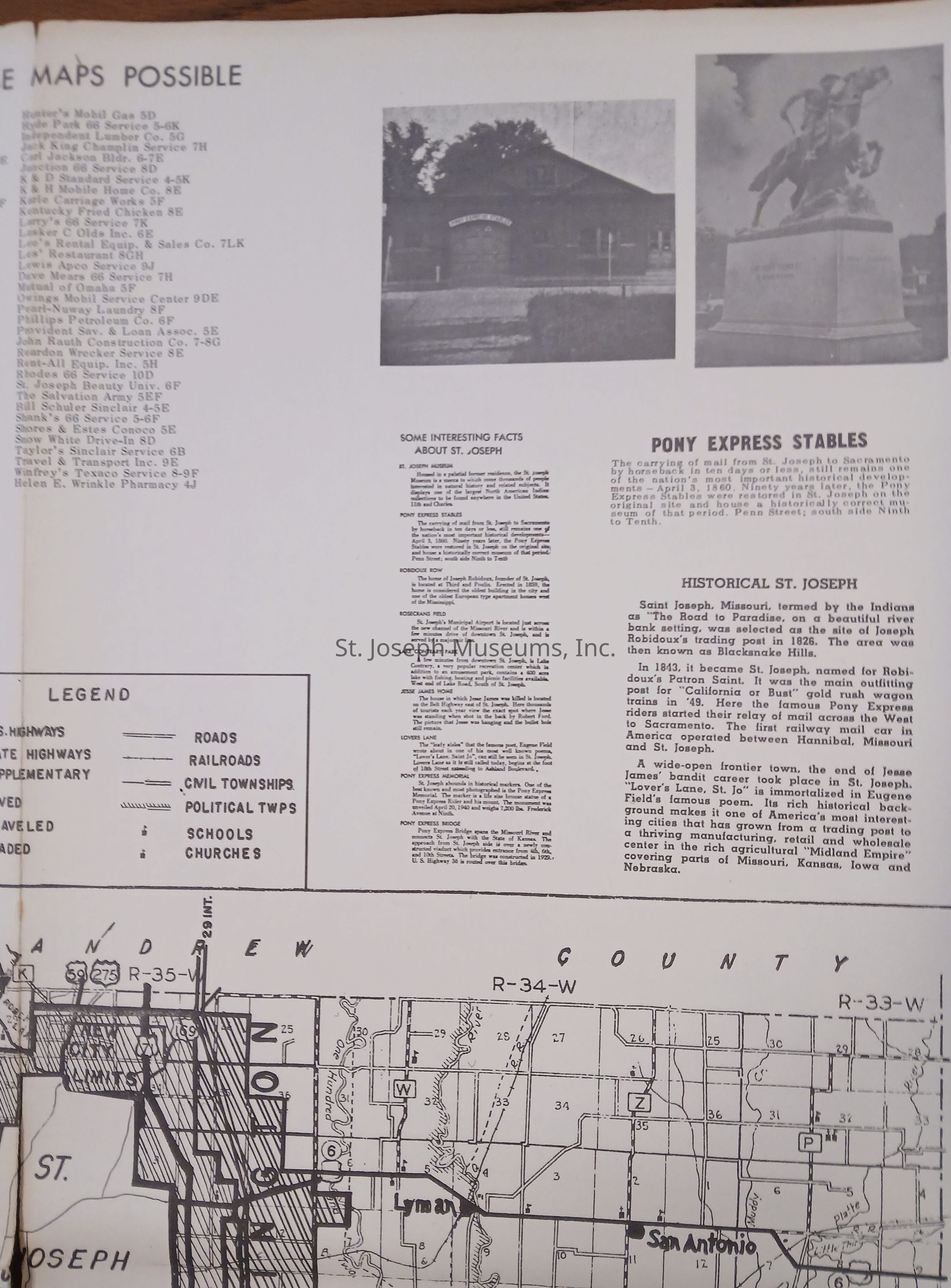
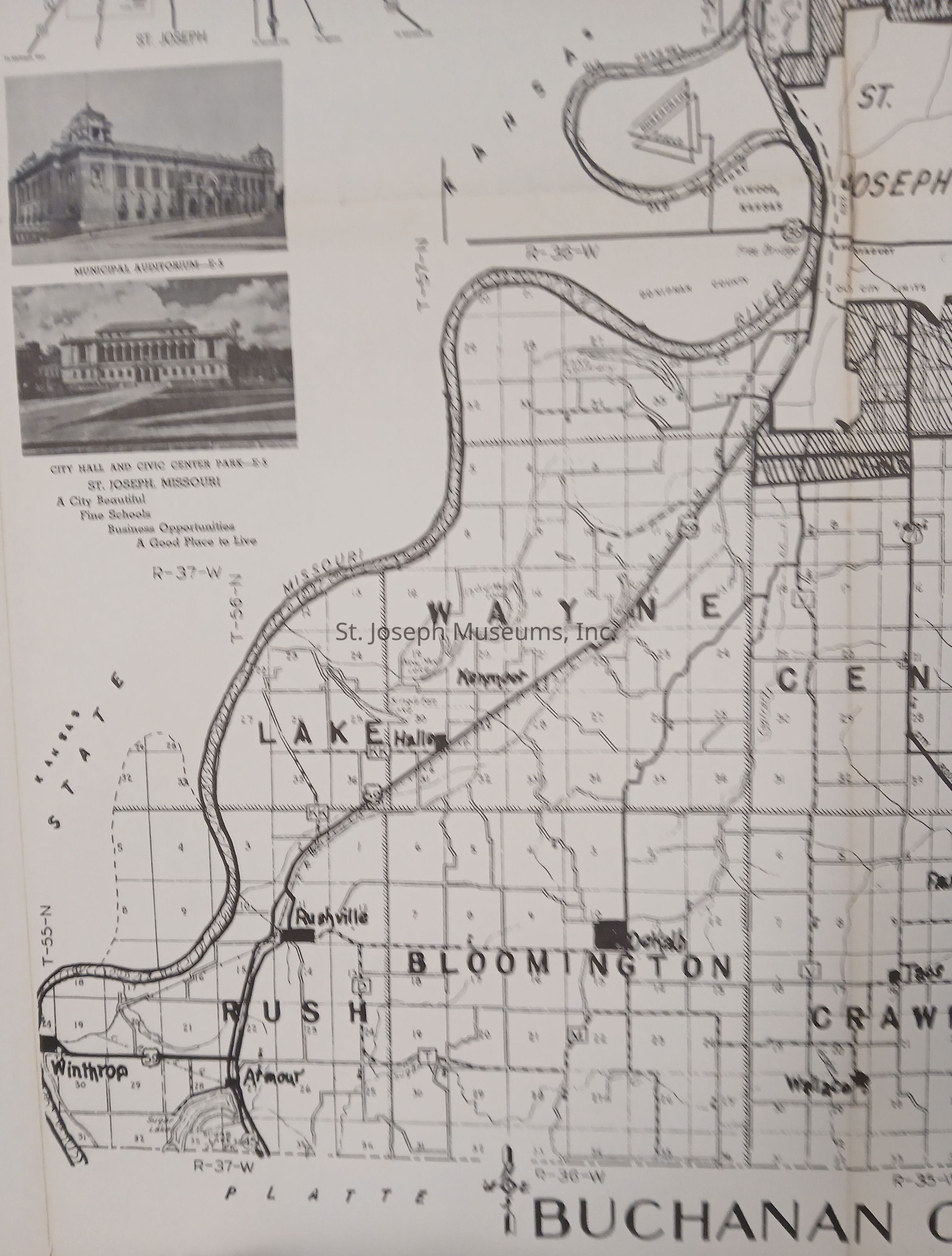
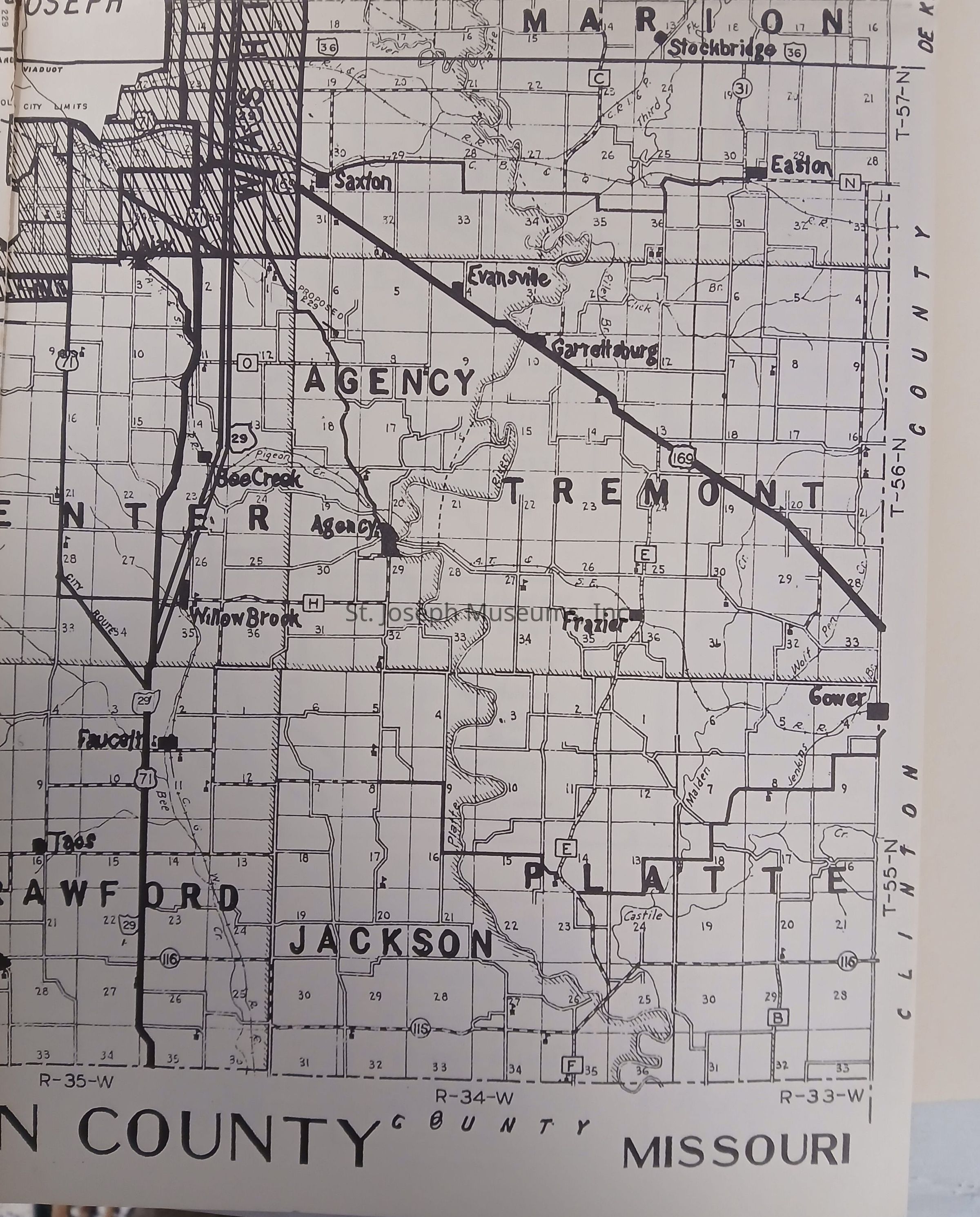
A large, double-sided map of St. Joseph, Missouri, circa early 1960's. Copyrighted © Stylecraft Co. (no additional information)Context
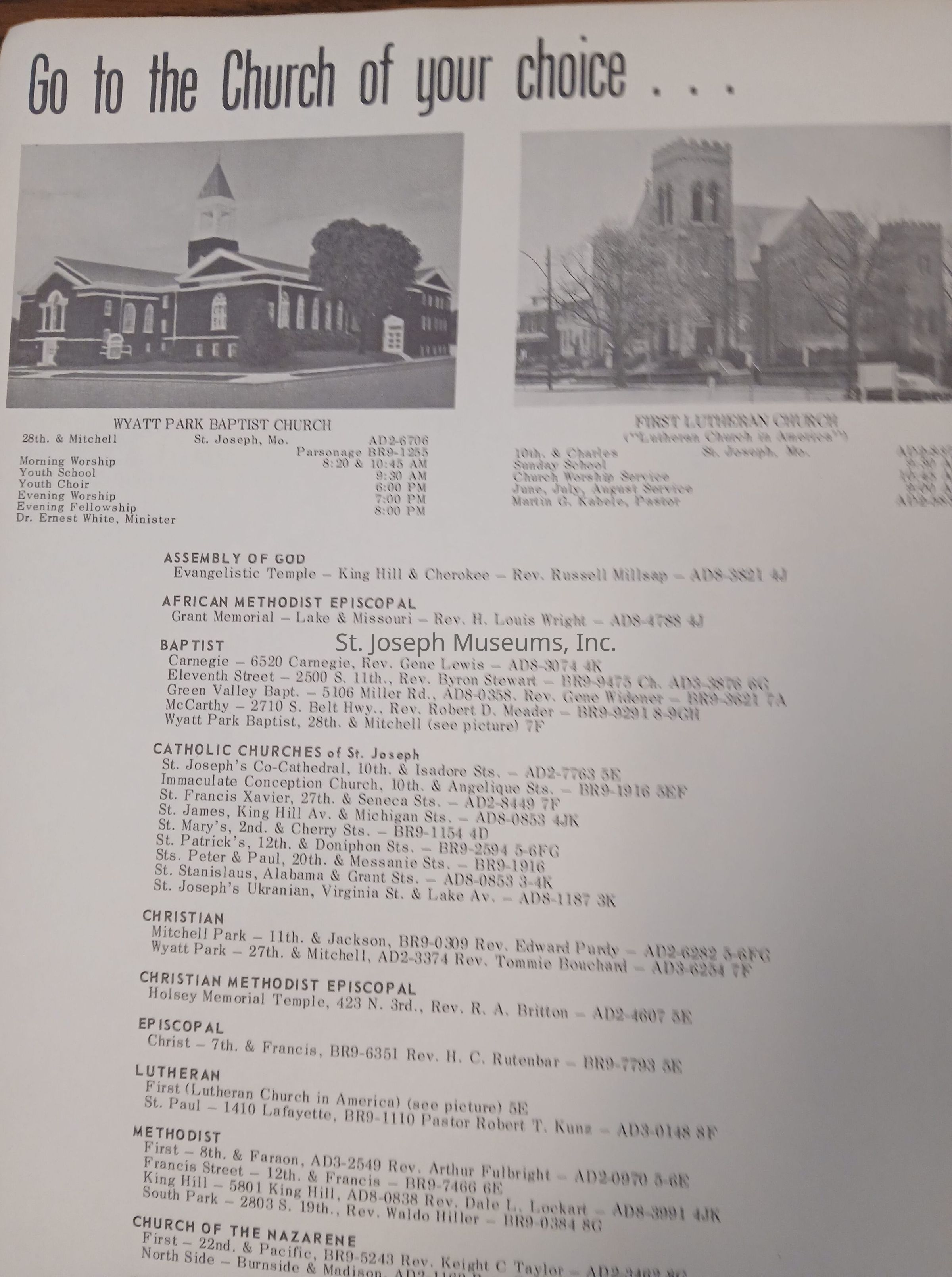
In addition to a period map of St. Joseph, Missouri, the document includes a map of Buchanan County, a directory of churches, service stations, and businesses, as well as a city street guide and numerous advertisements.Lexicon
Nomenclature 4.0
Nomenclature Secondary Object Term
MapNomenclature Primary Object Term
CartographNomenclature Primary Object Term
AdvertisementNomenclature Sub-Class
Graphic DocumentsNomenclature Class
Documentary ObjectsNomenclature Class
Advertising MediaNomenclature Category
Category 08: Communication Objects