Name/Title
CRR #46 DocumentsEntry/Object ID
1998.28.16Context
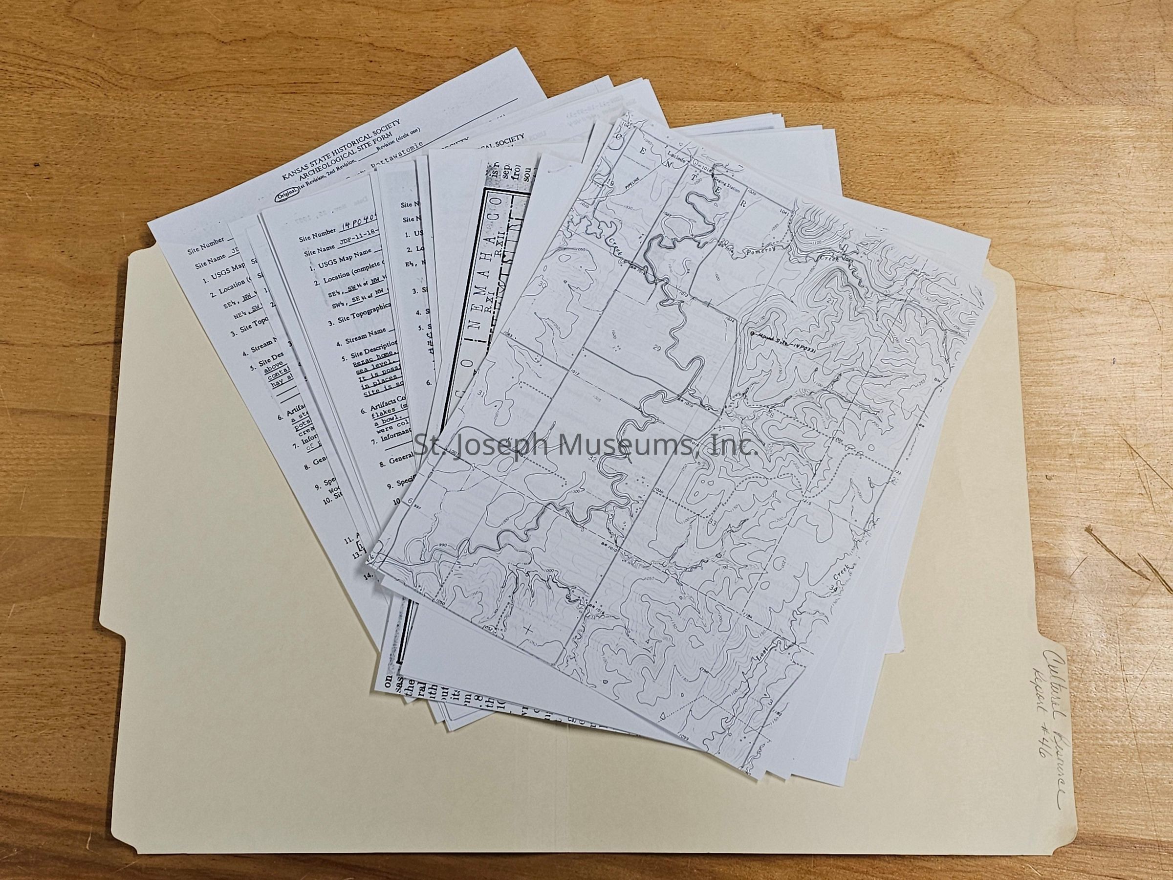
Various documents relating to CRR #46.
-A topographic map with site 14PO331 marked
-Archeological site form for 14PO403, 14PO1322, 14PO1320, 14PO1319, 14PO1321, 14PO1318, 14PO404,
-Write ups (updates) on mound site 14PO331 and 14PO390, sites 14PO350 and 14PO223, and petroglyph site 14PO55
-A map of Pottawatomie county
-Archeological site form for five unnumbered sitesCollection
Archaeology DocumentsLexicon
Nomenclature 4.0
Nomenclature Secondary Object Term
MapNomenclature Primary Object Term
ReportNomenclature Primary Object Term
CartographNomenclature Sub-Class
Administrative RecordsNomenclature Sub-Class
Graphic DocumentsNomenclature Class
Documentary ObjectsNomenclature Category
Category 08: Communication ObjectsRelationships
Related Person or Organization
Person or Organization
Feagins, Jim