Cultural Resource Investigation #9
Publication

-

St. Joseph Museums

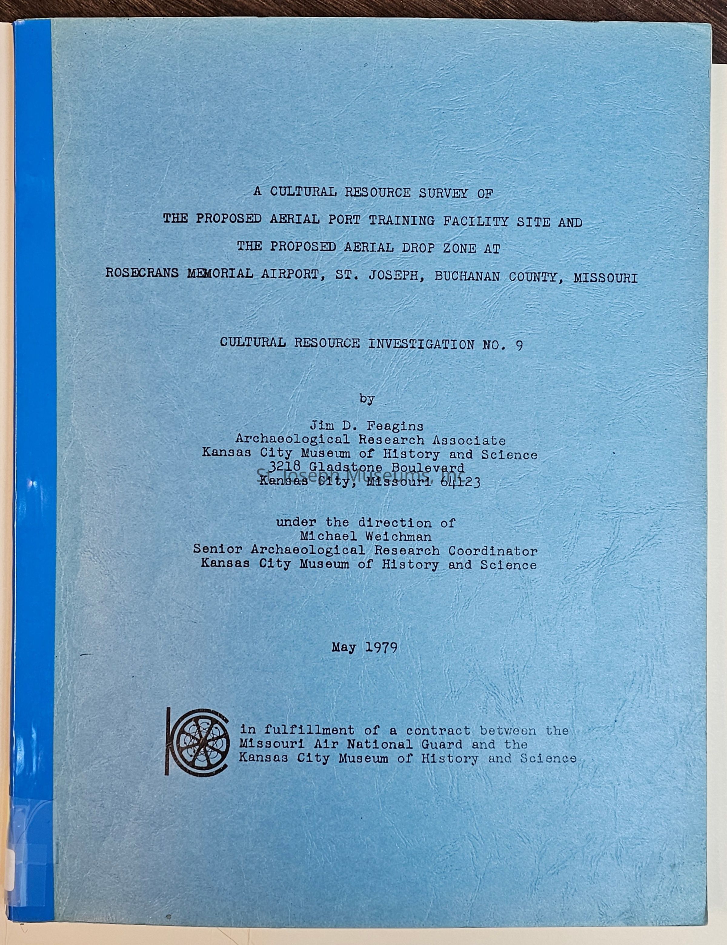
The image is of a document cover titled "A Cultural Resource Survey of the Proposed Aerial Port Training Facility Site and the Proposed Aerial Drop Zone at Rosecrans Memorial Airport, St. Joseph, Buchanan County, Missouri," authored by Jim D. Feagins. It is labeled Cultural Resource Investigation No. 9, prepared under the direction of Michael Weichman from the Kansas City Museum of History and Science, dated May 1979.

The image is of a document cover titled "A Cultural Resource Survey of the Proposed Aerial Port Training Facility Site and the Proposed Aerial Drop Zone at Rosecrans Memorial Airport, St. Joseph, Buchanan County, Missouri," authored by Jim D. Feagins. It is labeled Cultural Resource Investigation No. 9, prepared under the direction of Michael Weichman from the Kansas City Museum of History and Science, dated May 1979.

Name/Title

Cultural Resource Investigation #9

Entry/Object ID

2012.21.307

Description

Cultural Resource Survey of the Proposed Aerial Port Training Facility Site and Proposed Aerial Drop Zone at Rosecrans Memorial Airport, St. Joseph, Buchanan County, Missouri, 1979. "The Kansas City Museum of History and Science conducted a cultural resource survey (January and March 1979) for the Missouri Air National Guard. The purpose of the survey was to determine if any cultural resources would be adversely affected by the proposed construction of an Aerial Port Training Facility and by the proposed leasing of approximately 80 hectare area for use as an Aerial Drop Zone at Rosecrans Memorial Airport...This survey consisted of a surface investigation and a record of search for information concerning any historic architectural, archaeological and historic remains that might be located in the proposed project areas in the French Bottom (Missouri River floodplain.) A World War II type hangar (T-1020) located at the proposed Aerial Port Training site was found to represent a fast disappearing architectural resource and warranted in-depth research and a detailed photographic record. Through the use of historic maps and written records the Missouri River channel was found to have eroded southward and consequently to have occupied various portions of the proposed Drop Zone during at least the last 130 years. It was found that the dates of deposition of the soil in various segments in the area of study could be obtained. One Euro-American farmstead, the Gabriel site (23BN15), was located on the oldest segment (NE edge) of the proposed drop zone. This site had previously been disturbed by agricultural activities and levee construction and would not be further disturbed by the proposed usage by the Missouri Air National Guard. 75/Softbound/Illustrations/Maps

Collection

DOCUMENTS

Lexicon

Nomenclature 4.0

Nomenclature Primary Object Term

Report

Nomenclature Sub-Class

Administrative Records

Nomenclature Class

Documentary Objects

Nomenclature Category

Category 08: Communication Objects

LOC Thesaurus for Graphic Materials

Archaeology

Search Terms

Gabriel Site, Missouri Air National Guard, Rosecrans Memorial Airport, Archaeological Sites in Buchanan County, Missouri

Publication Details

Author

Feagins, Jim

Place Published

City

Kansas City

State/Province

Missouri

Date Published

1979

Call No.

Archaeology FE

Notes

Copy No.: 2

Condition

Overall Condition

Fair

Maintenance

Maintenance History

Date

Dec 22, 2012

Relationships

Related Person or Organization

Person or Organization

Michael Fisher

Related Places

Place

Location

Rosecrans Memorial Airport, 23 BN 15

City

St. Joseph

State/Province

Missouri

County

Buchanan County

Related Publications

Publication

CRI #9