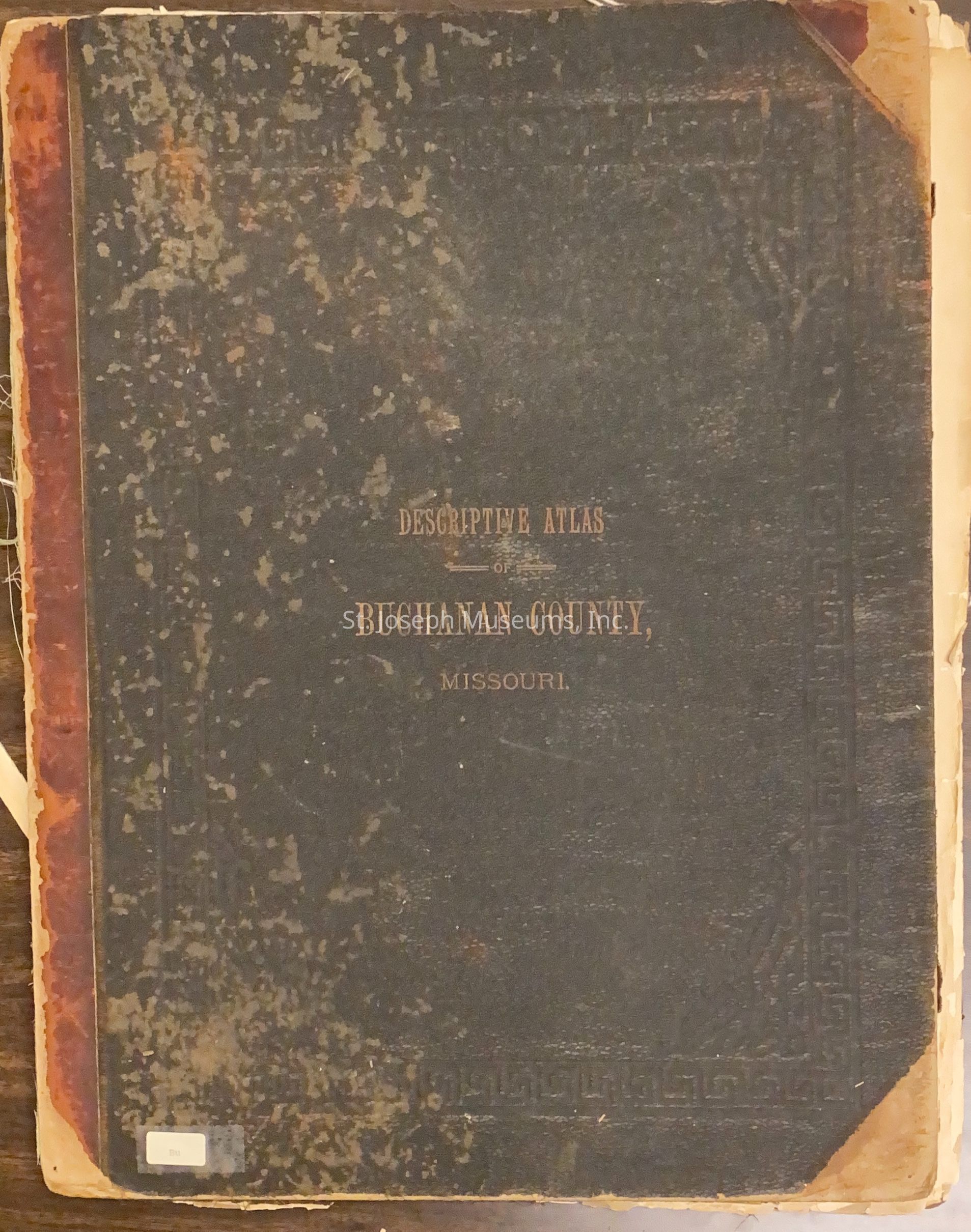
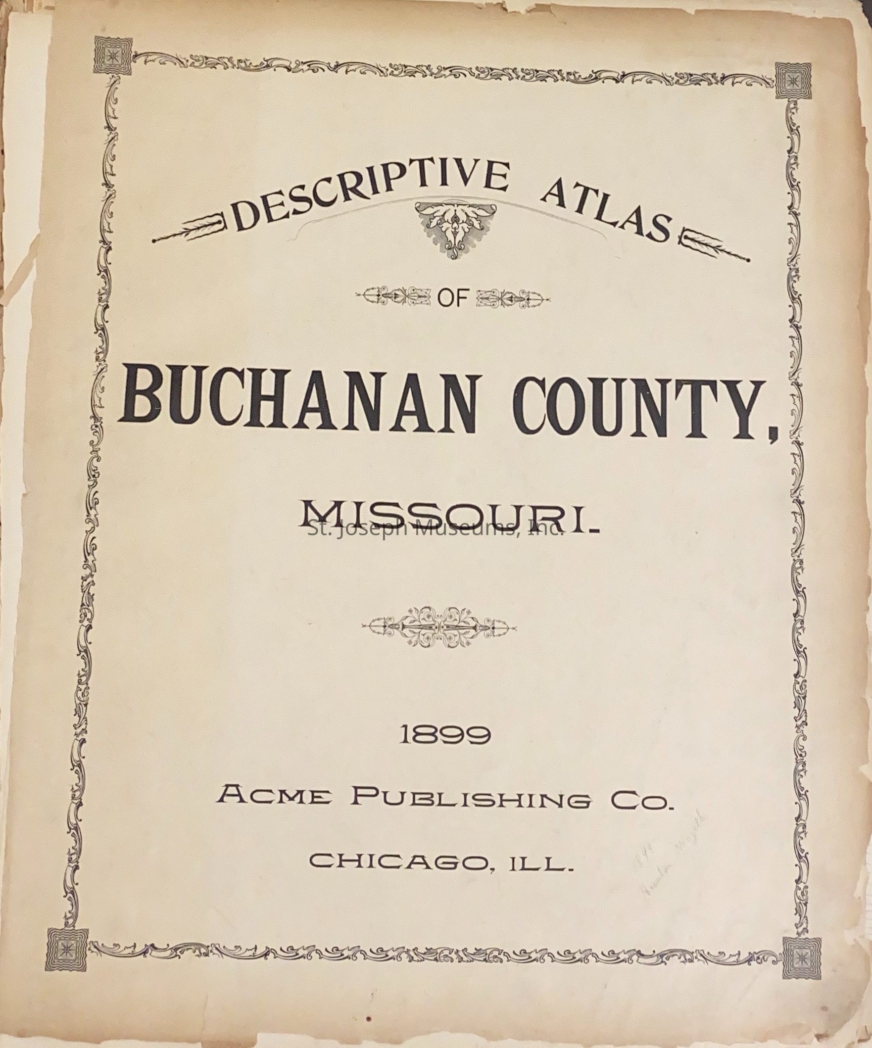
Name/Title
Descriptive Atlas of Buchanan CountyEntry/Object ID
L1965.12.69Description
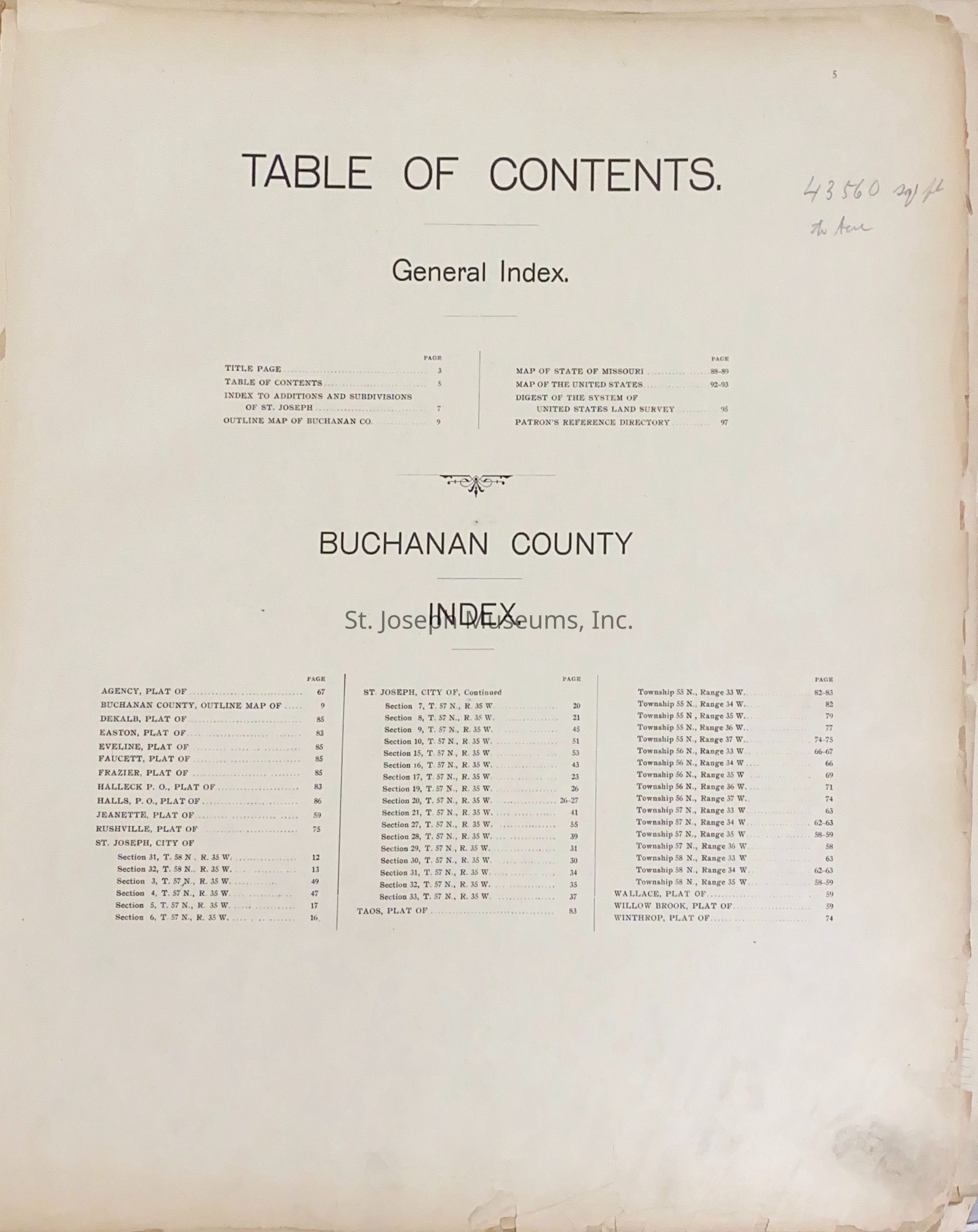
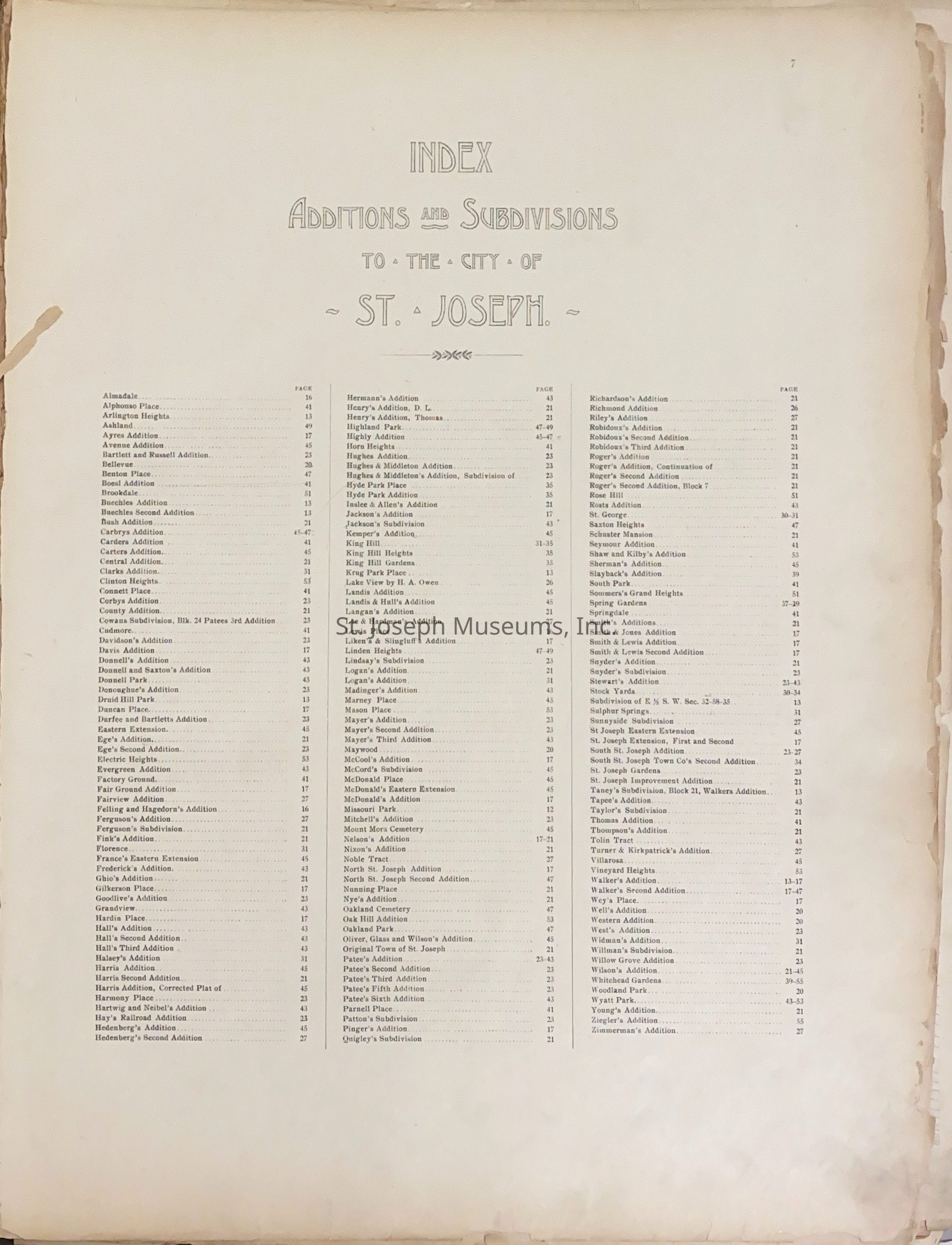
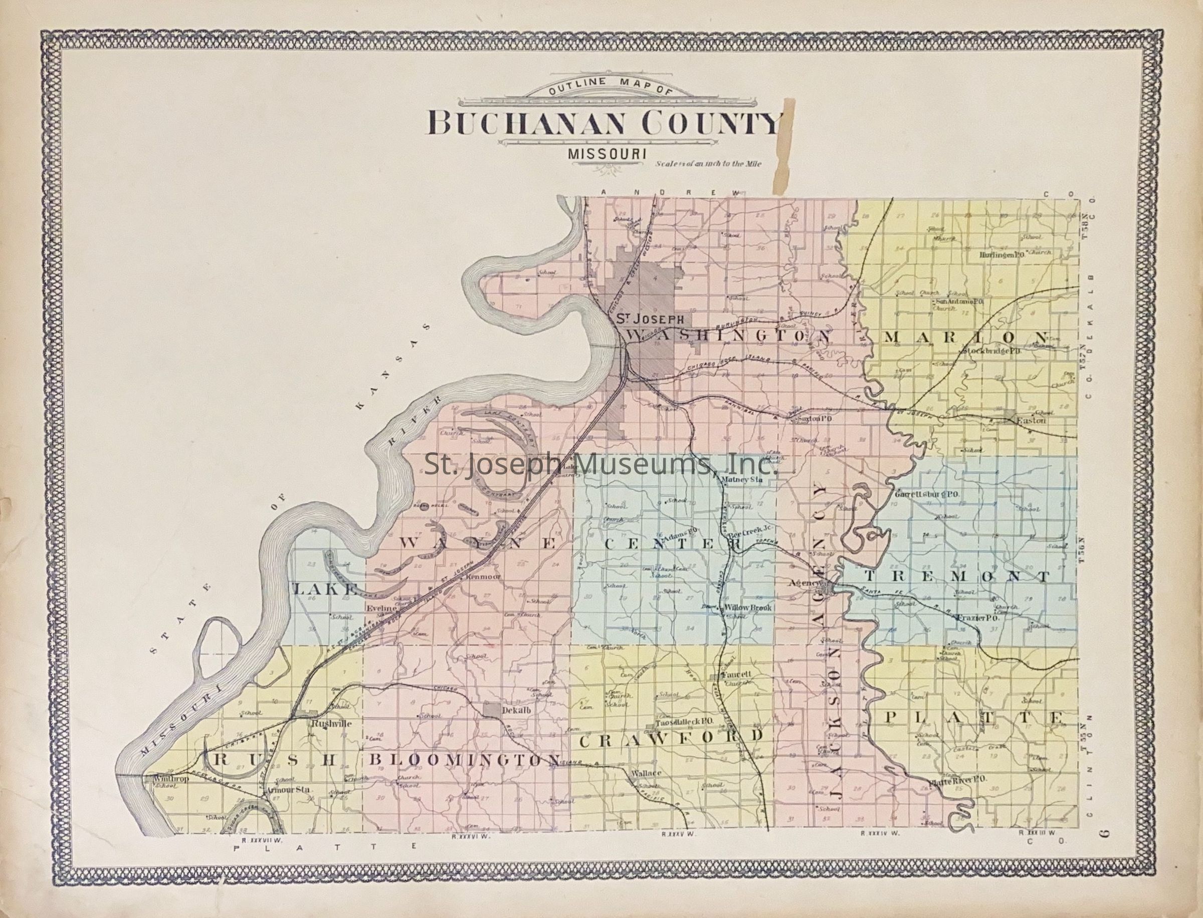
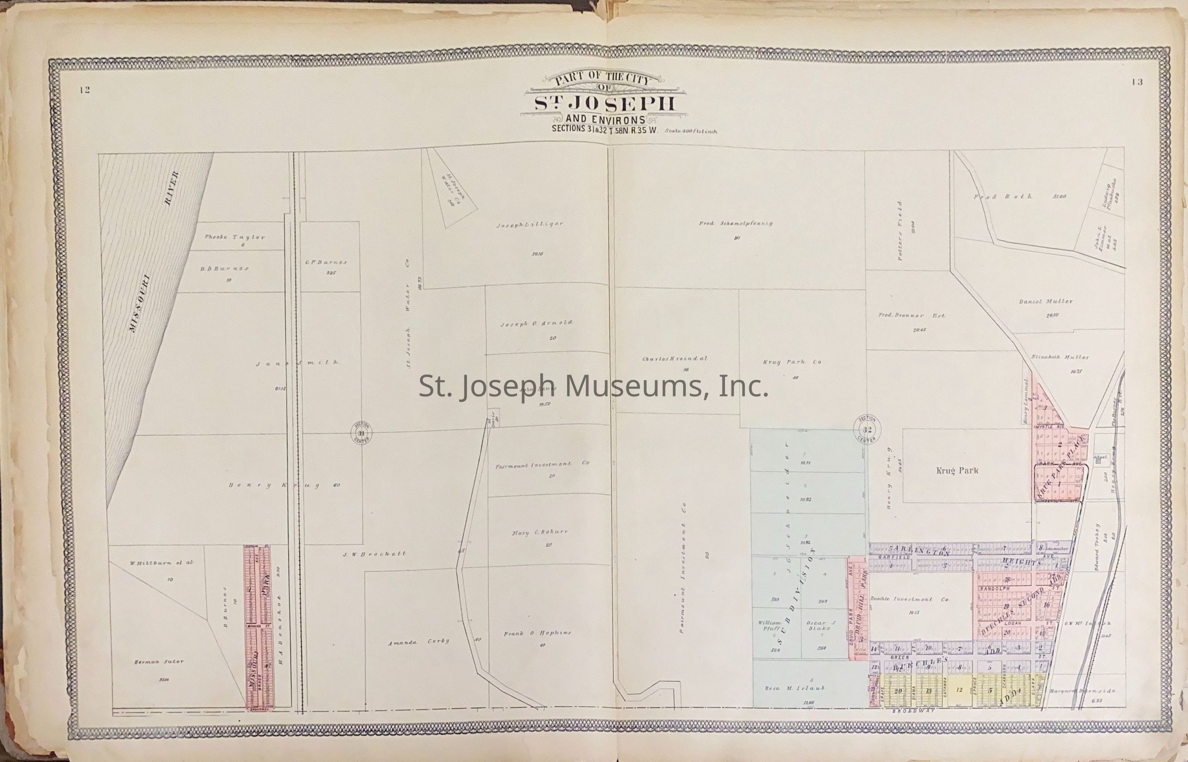
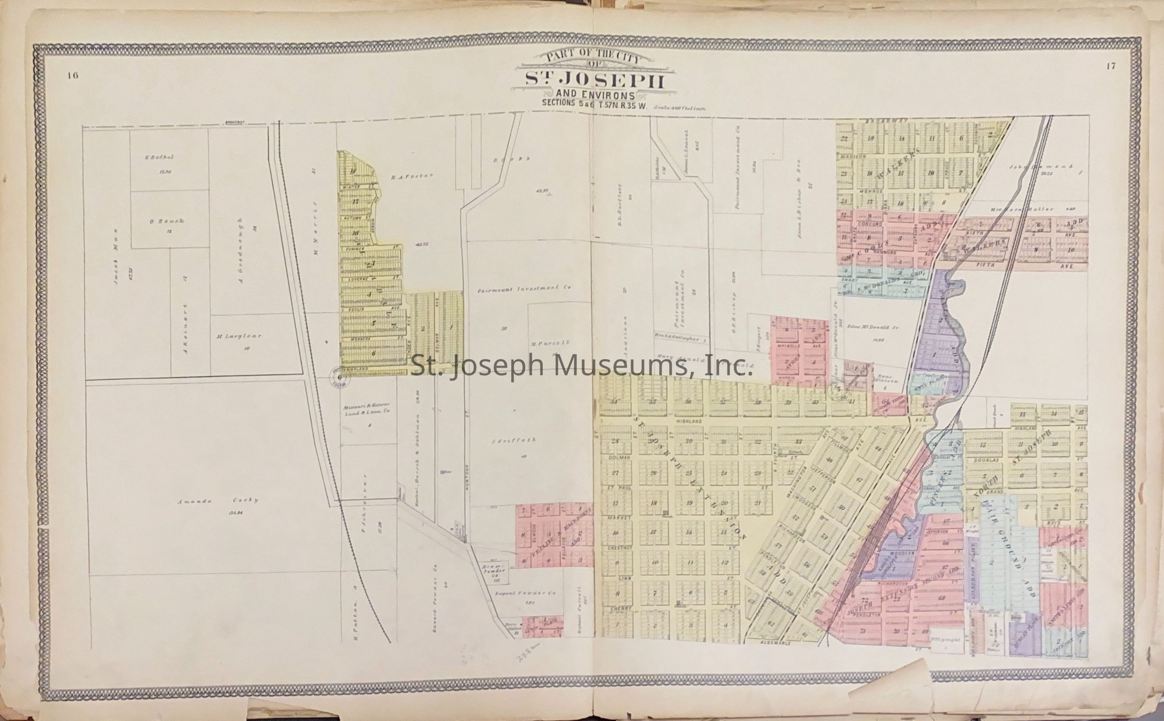
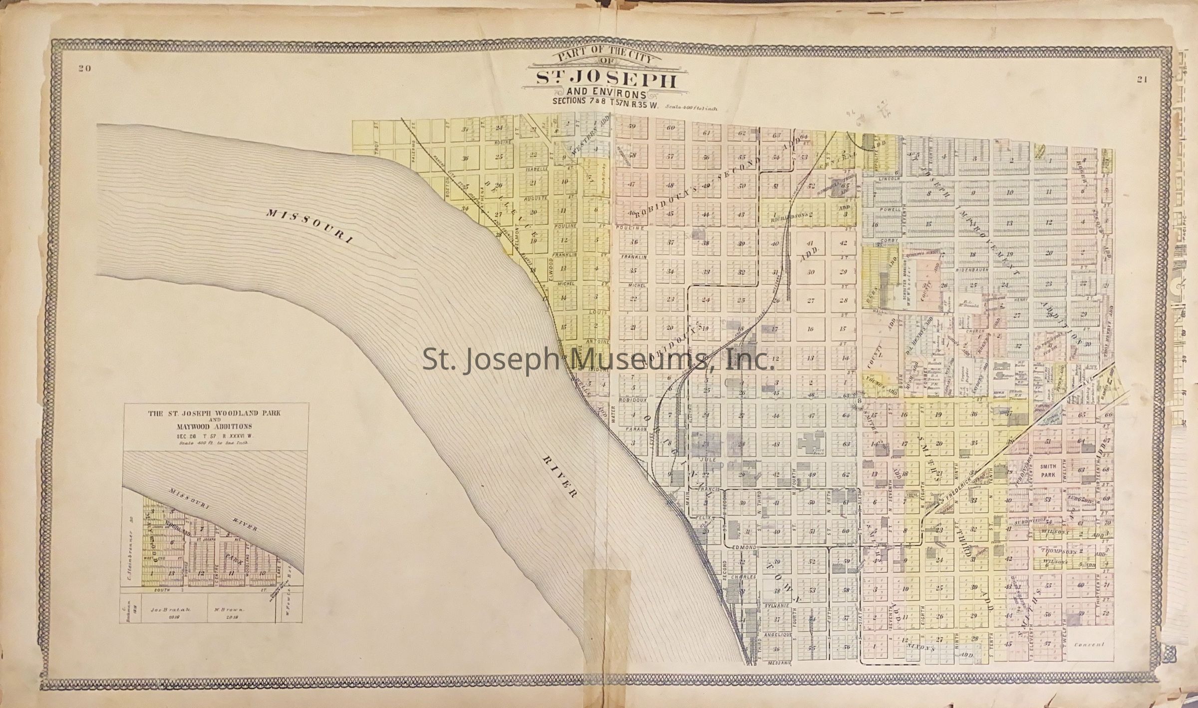
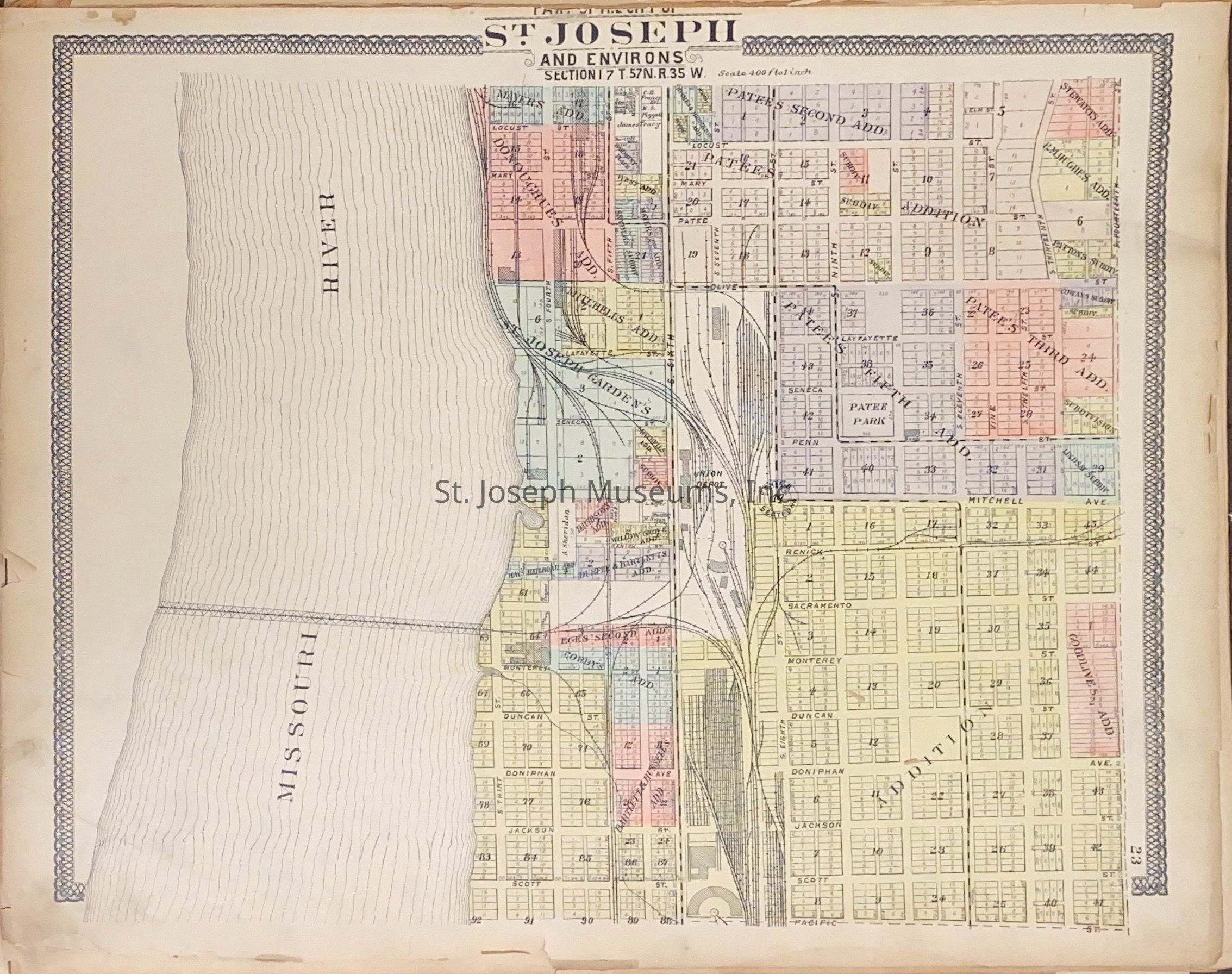
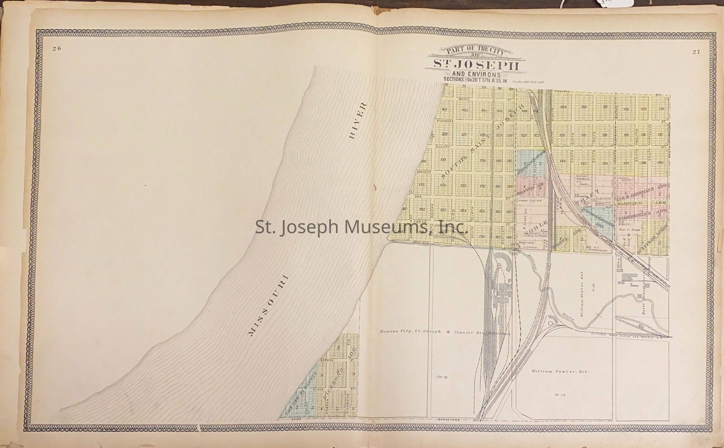
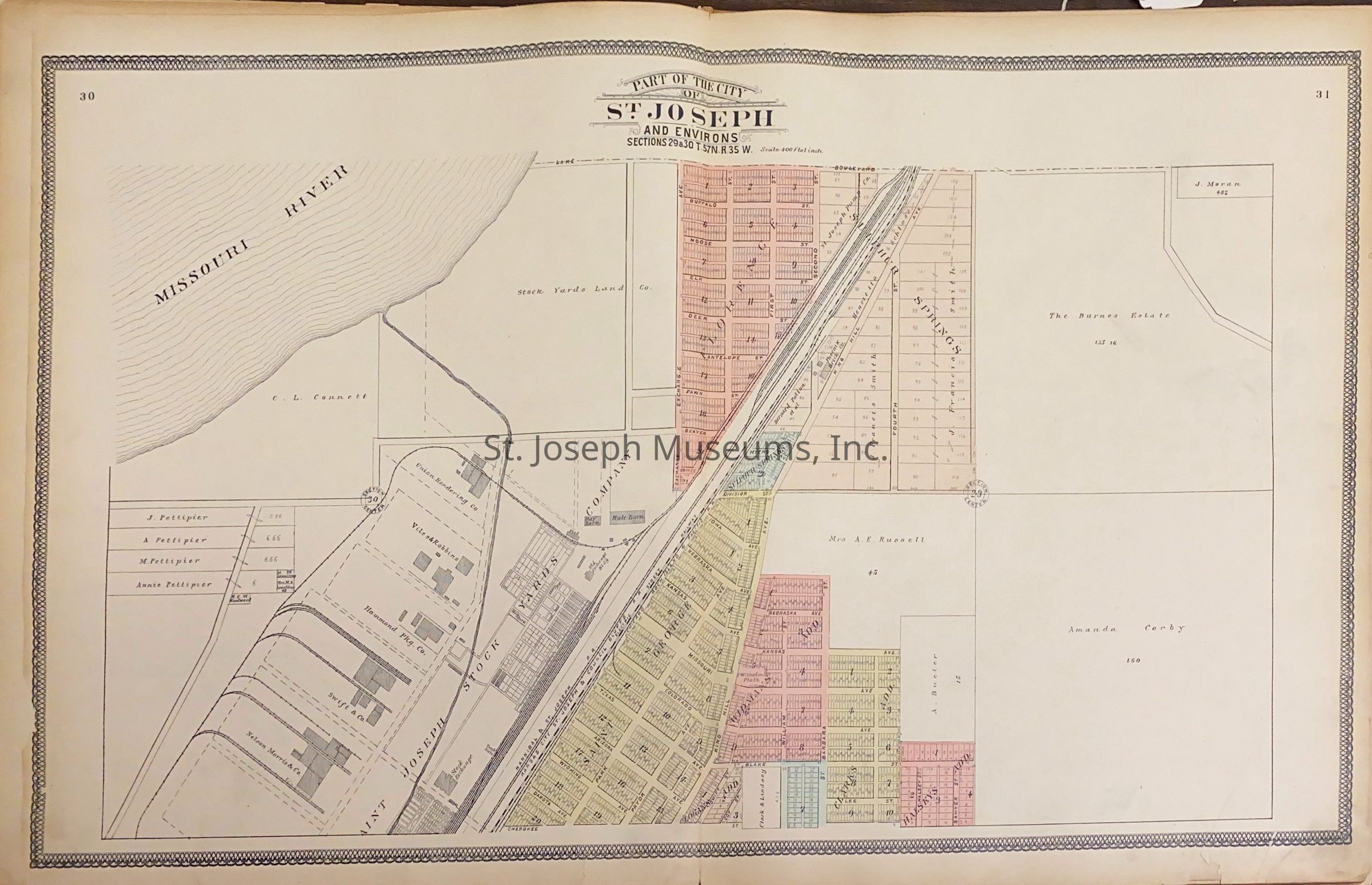
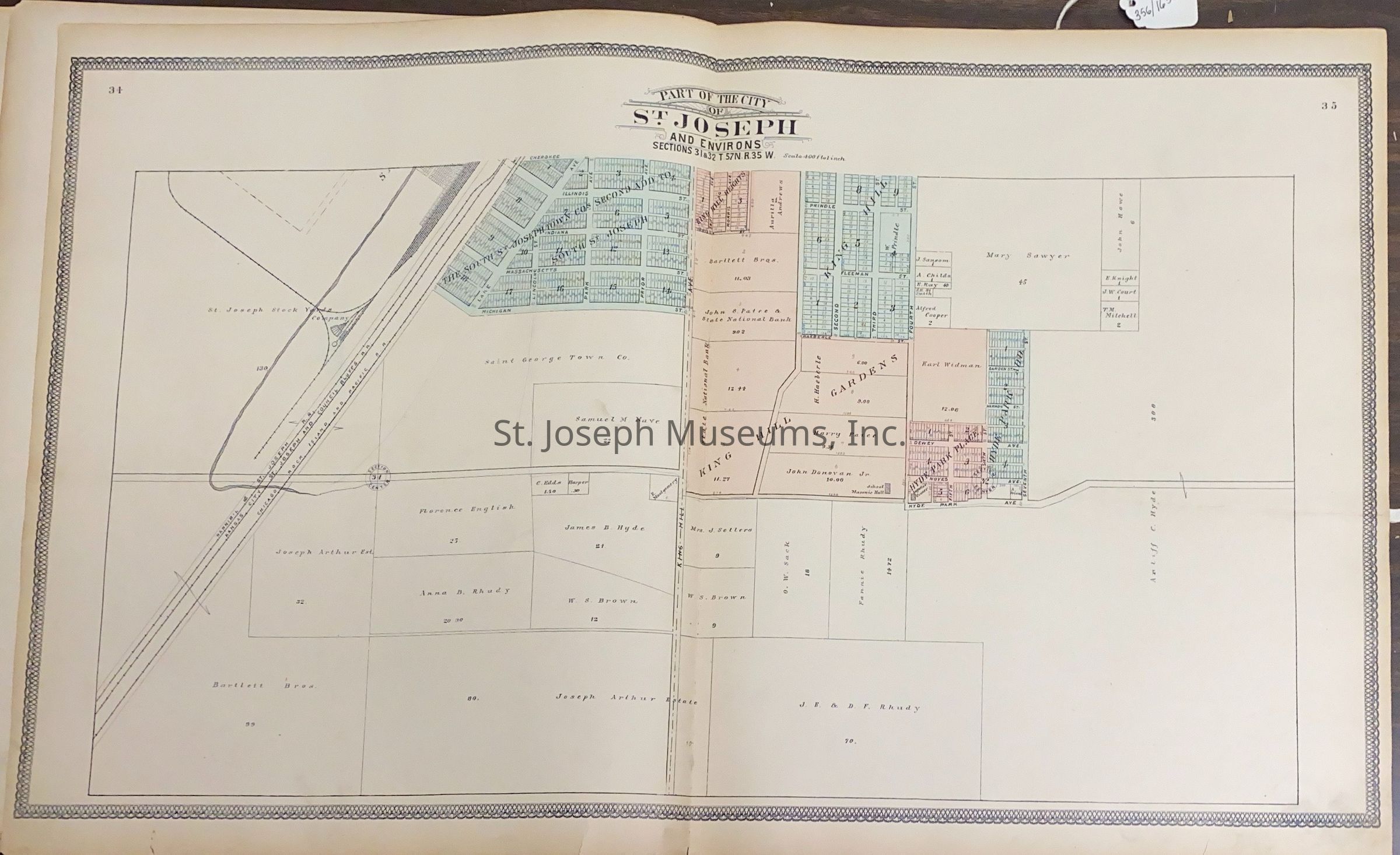
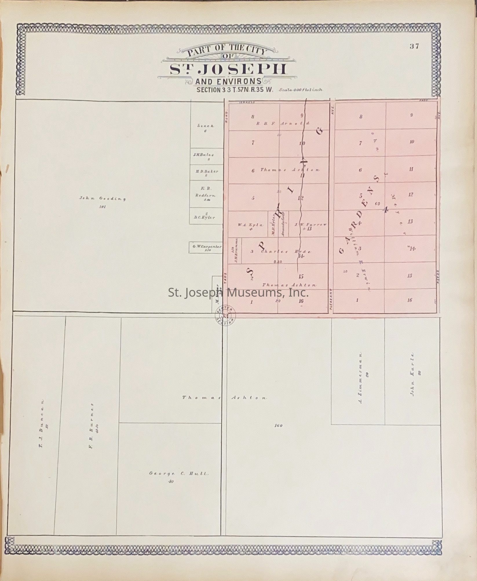
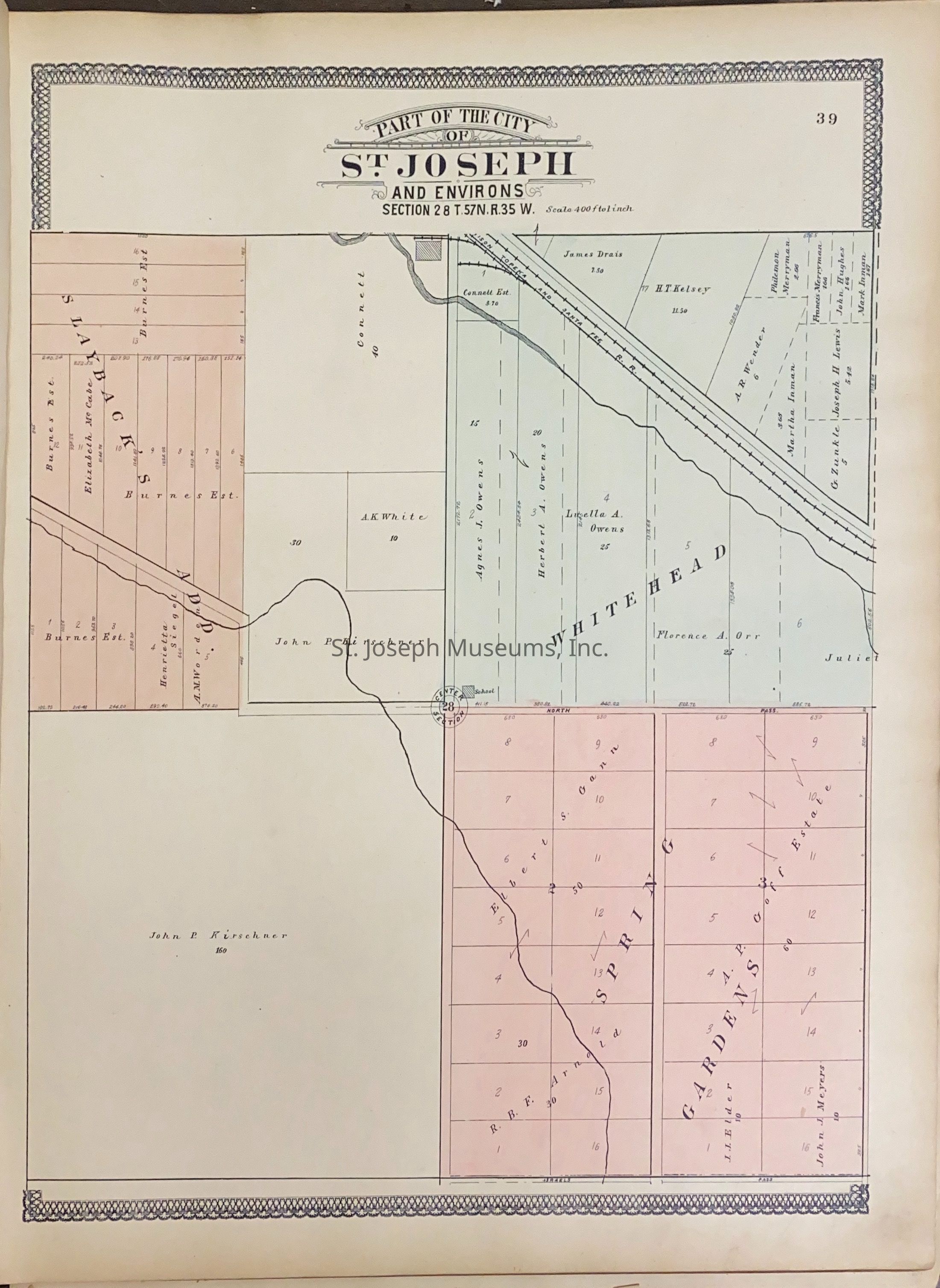
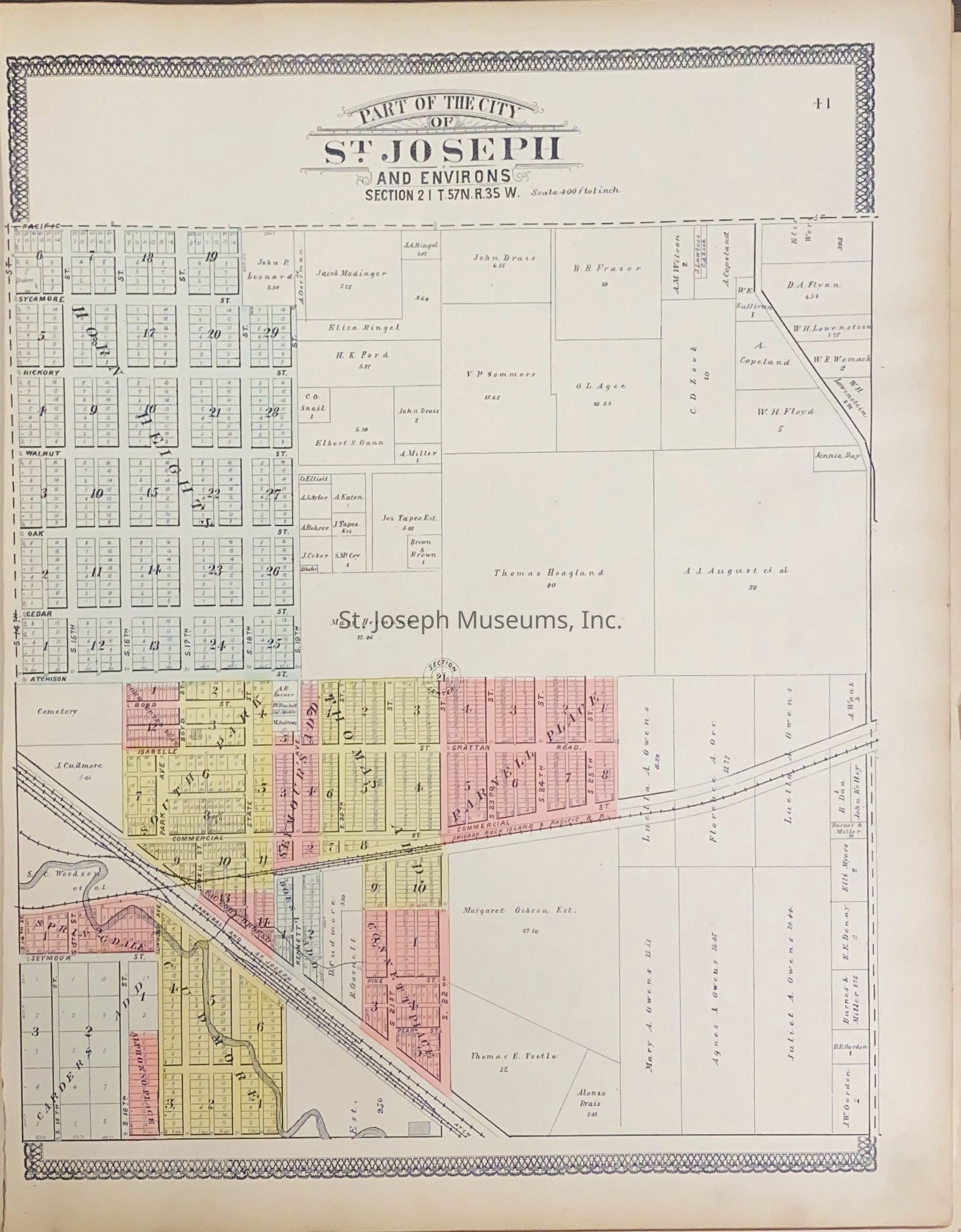
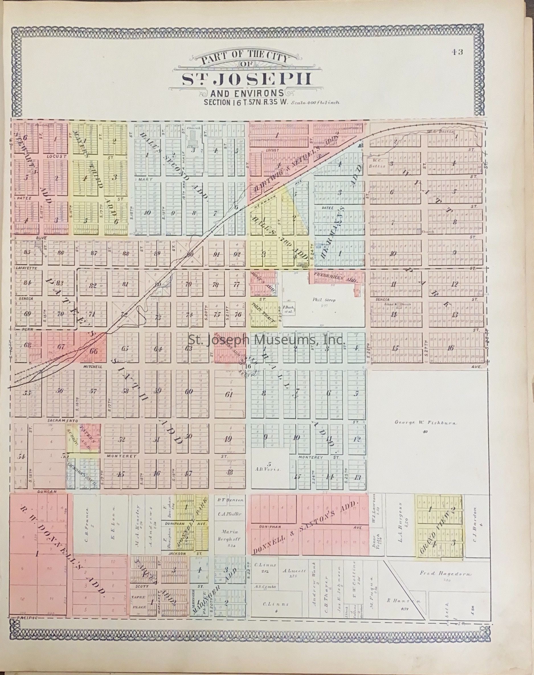
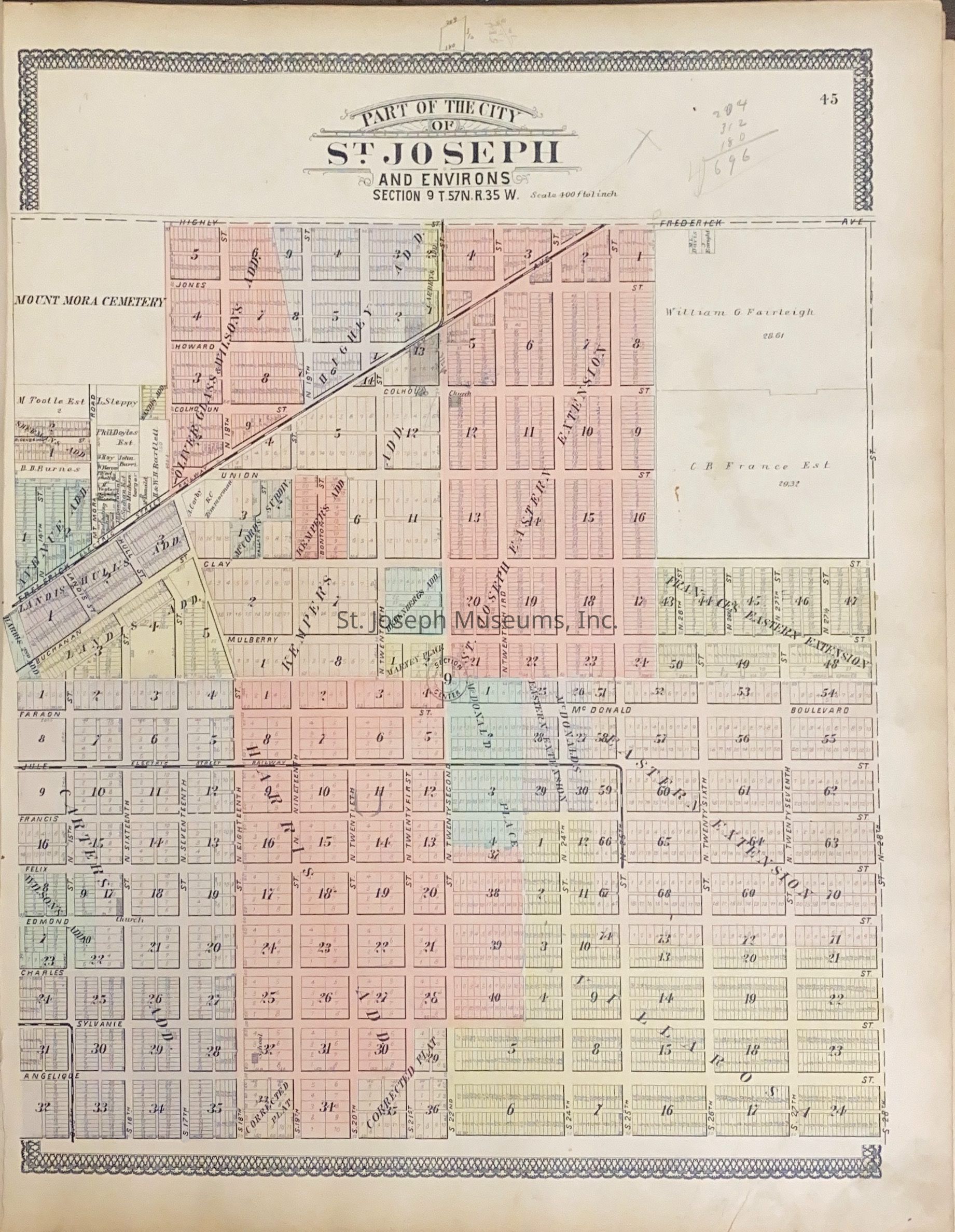
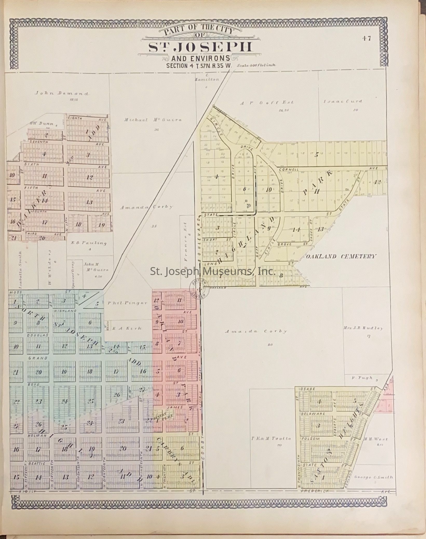
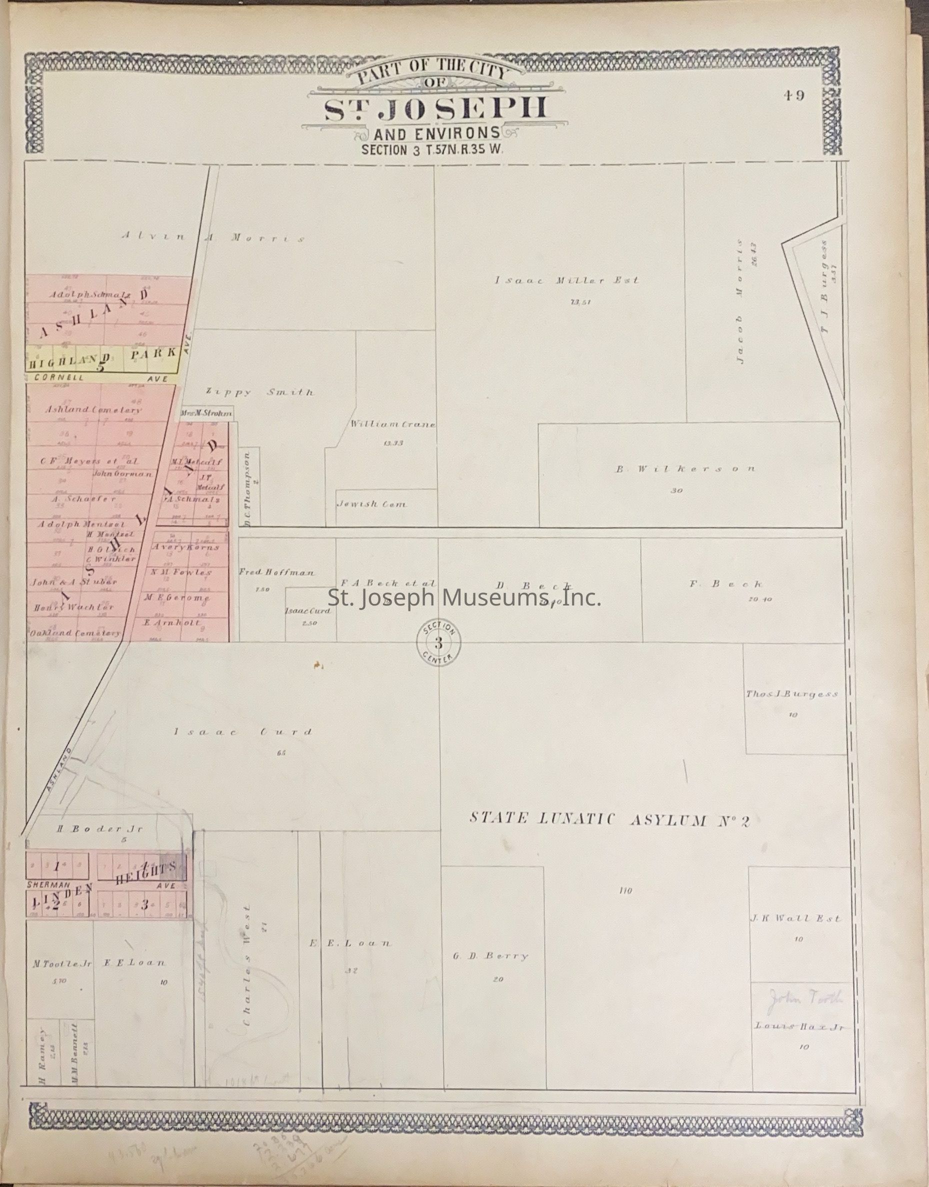
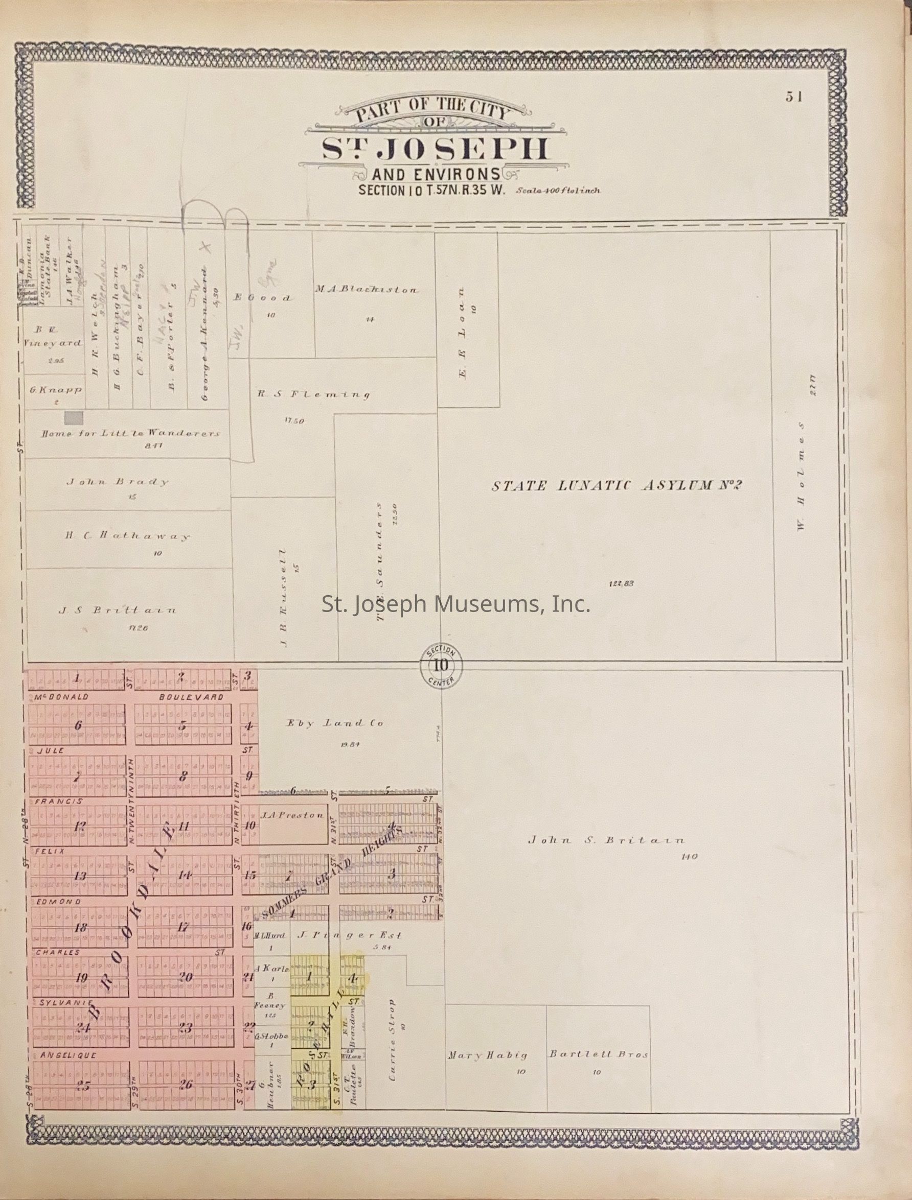
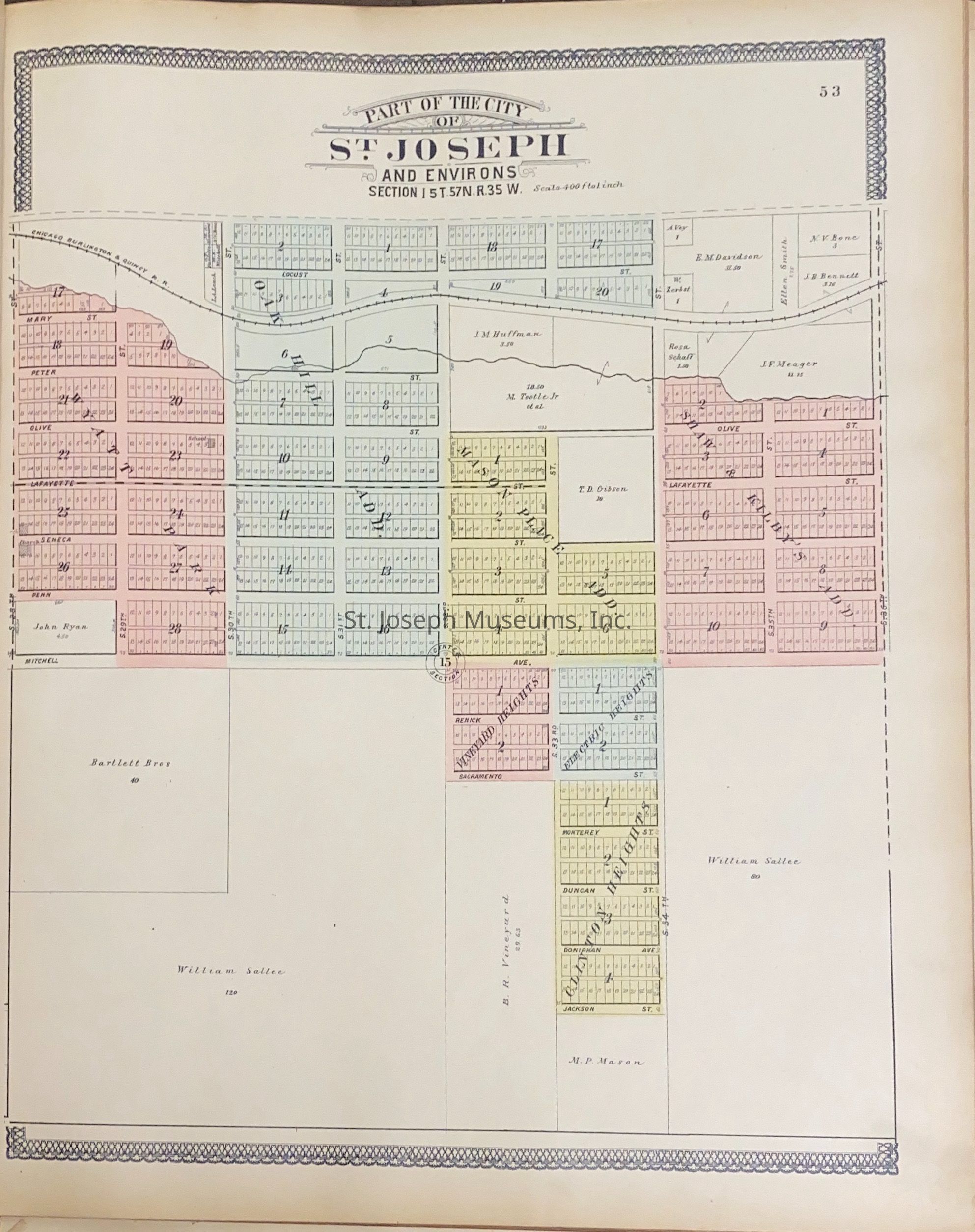
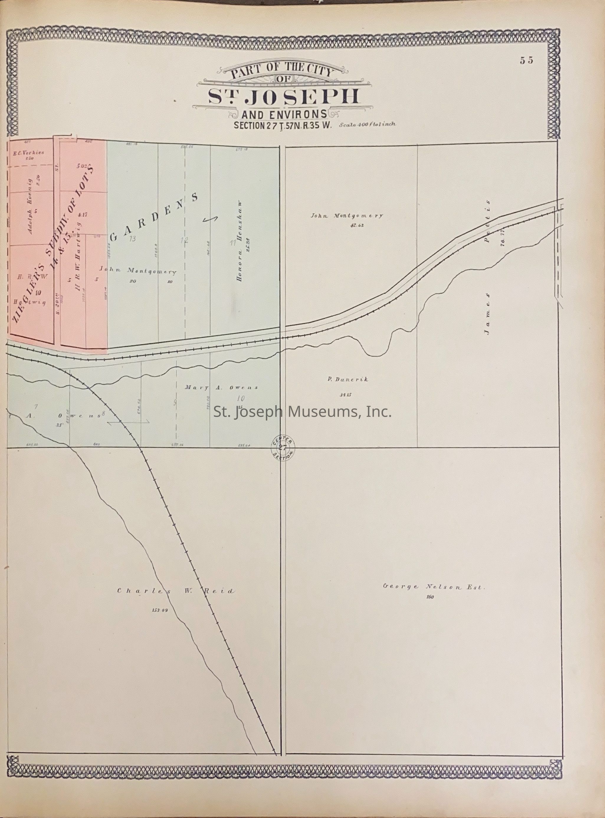
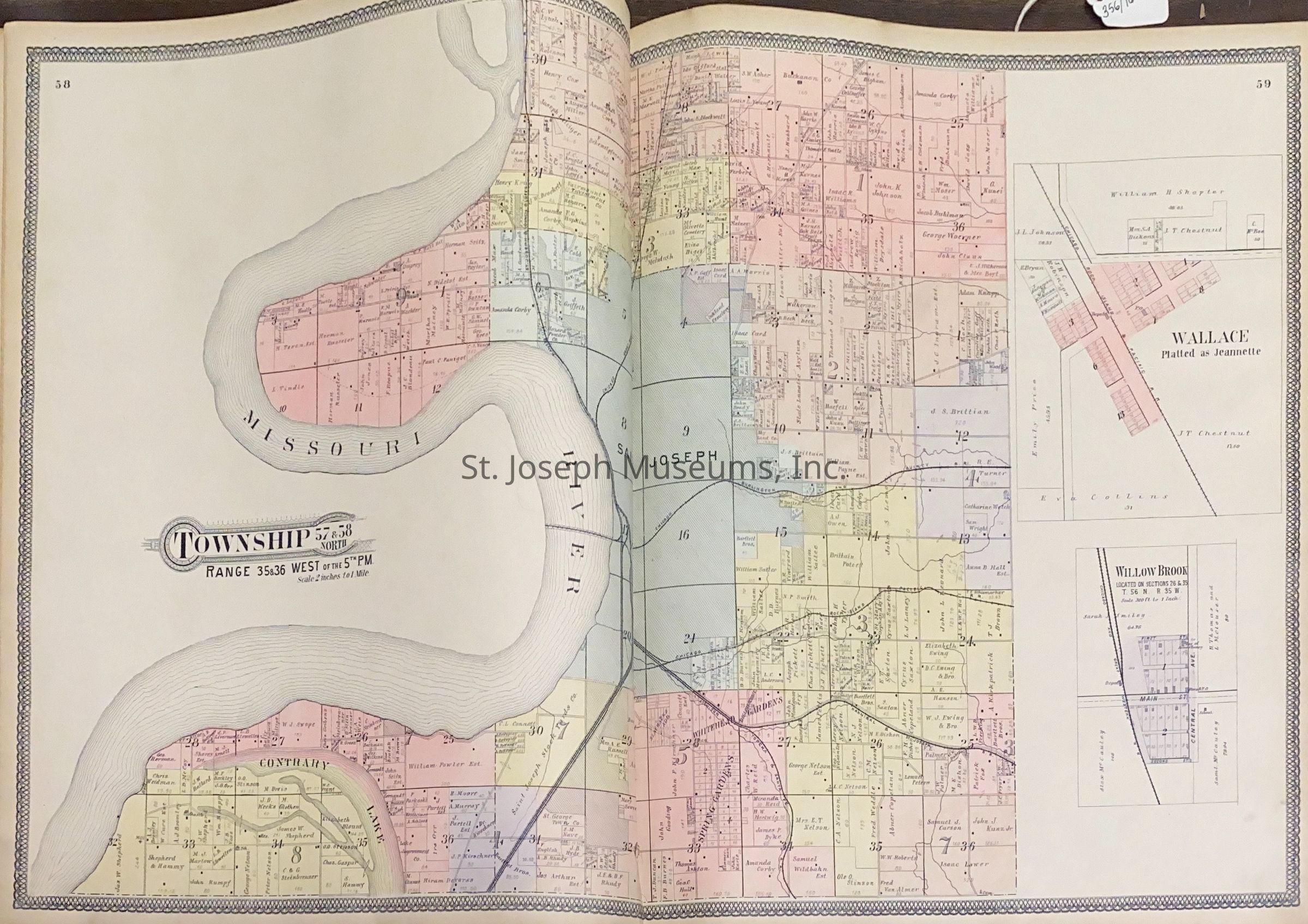
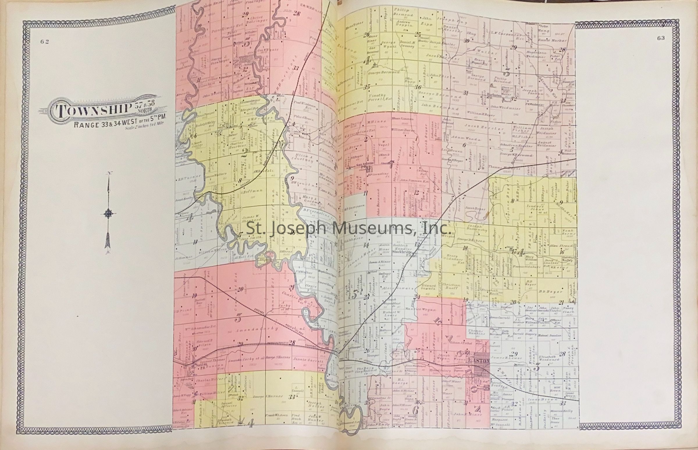
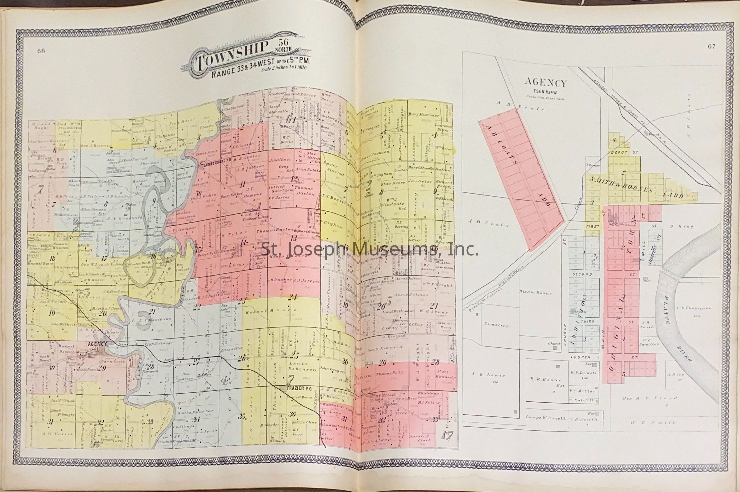
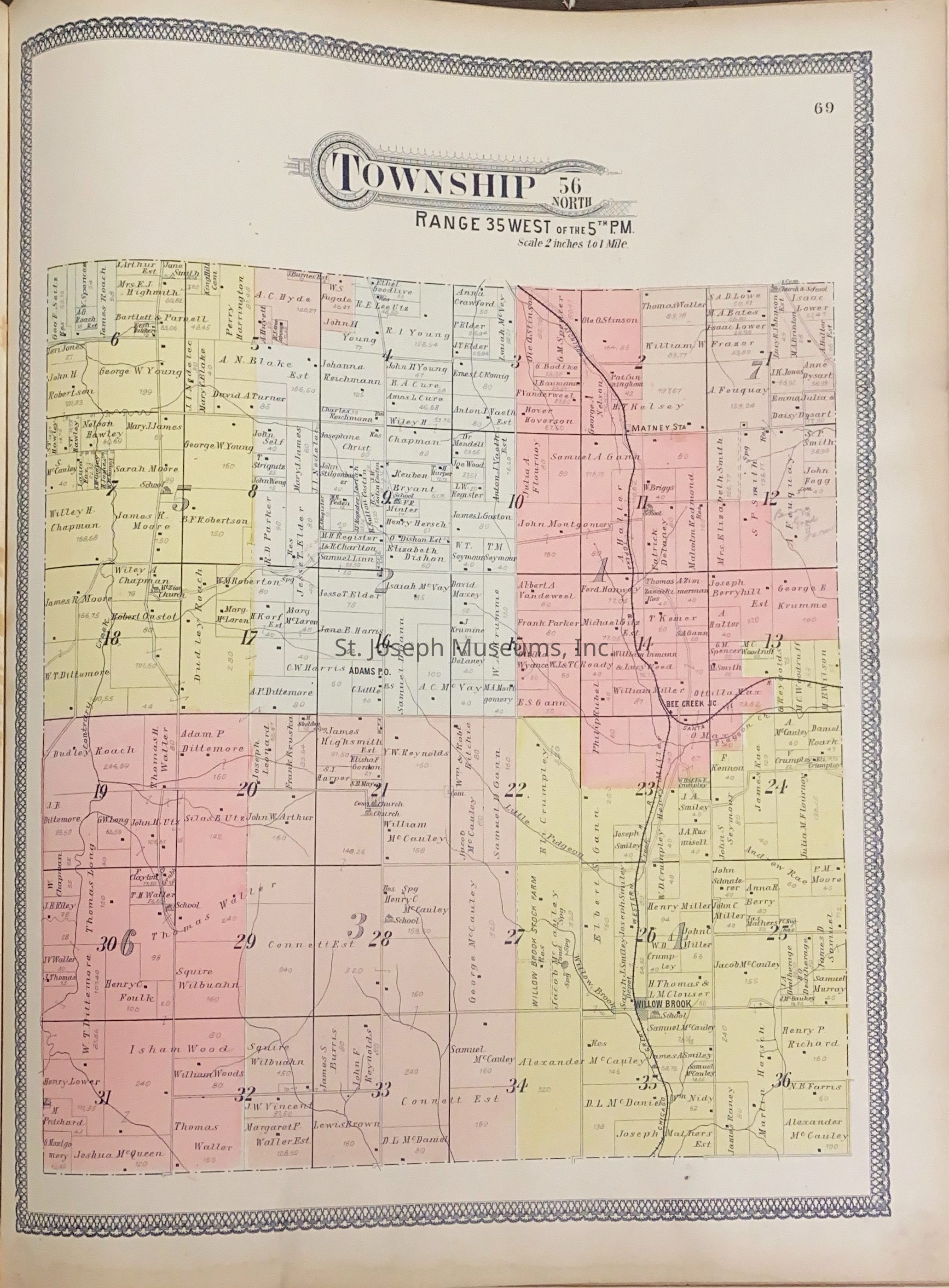
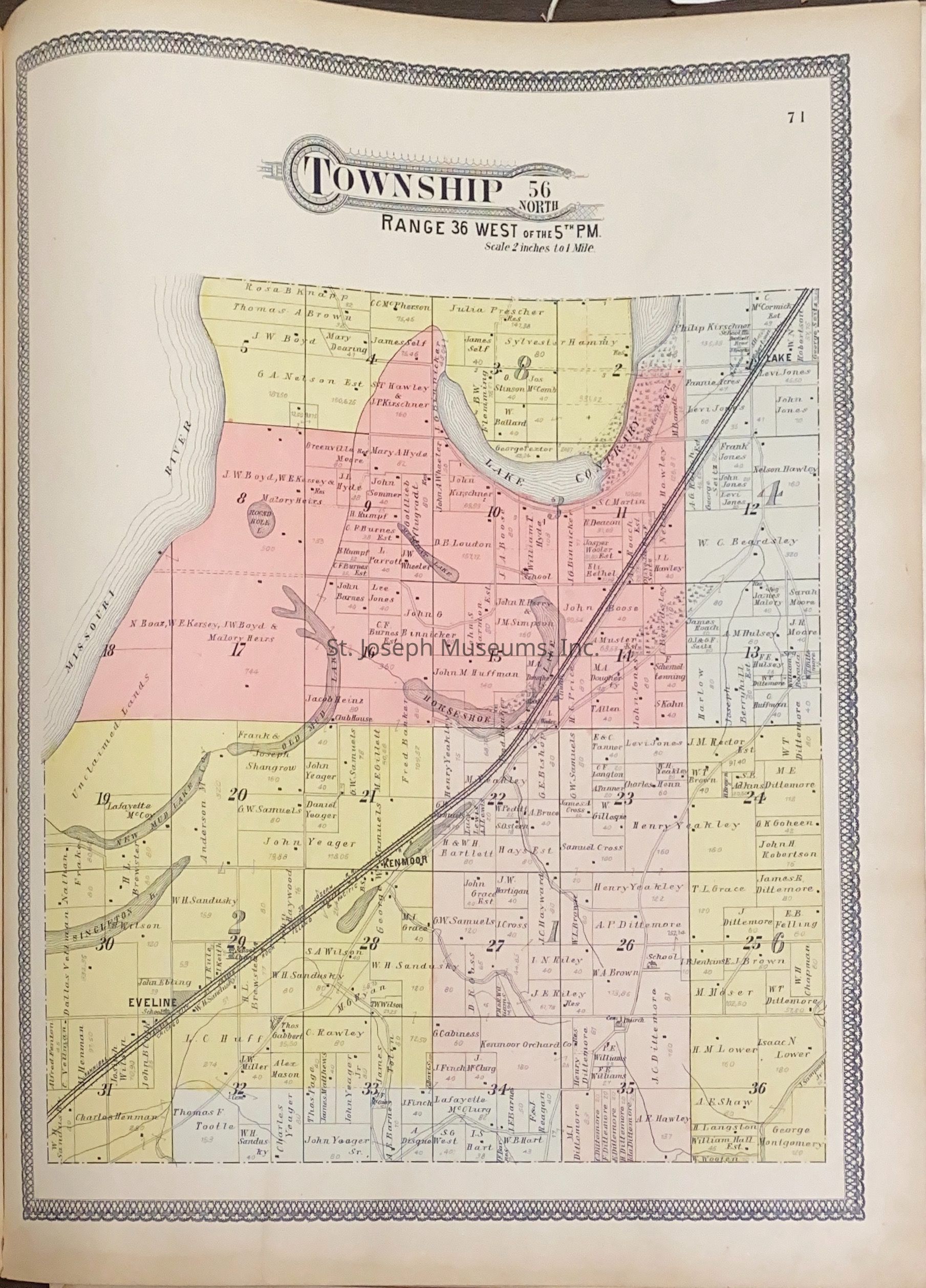
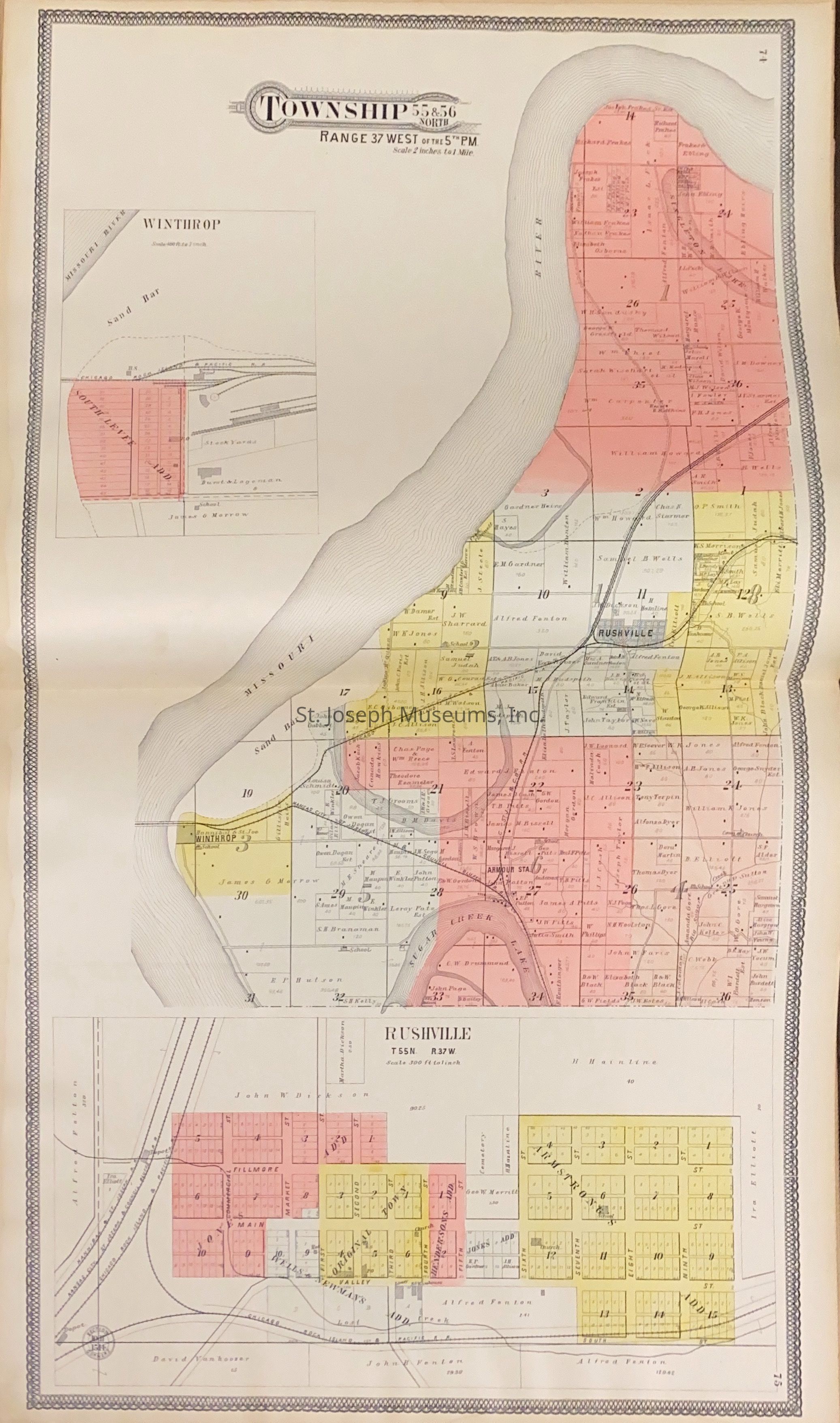
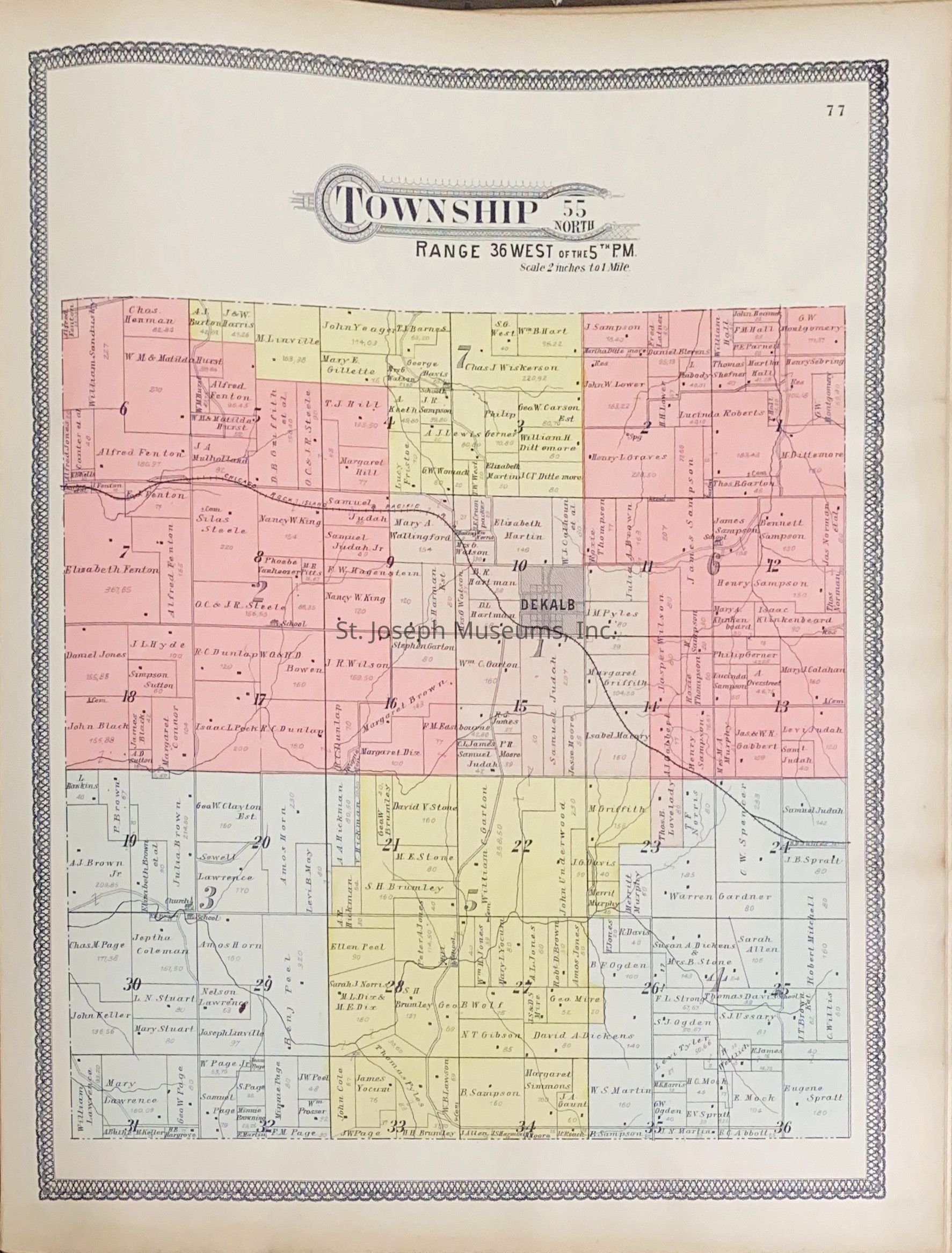
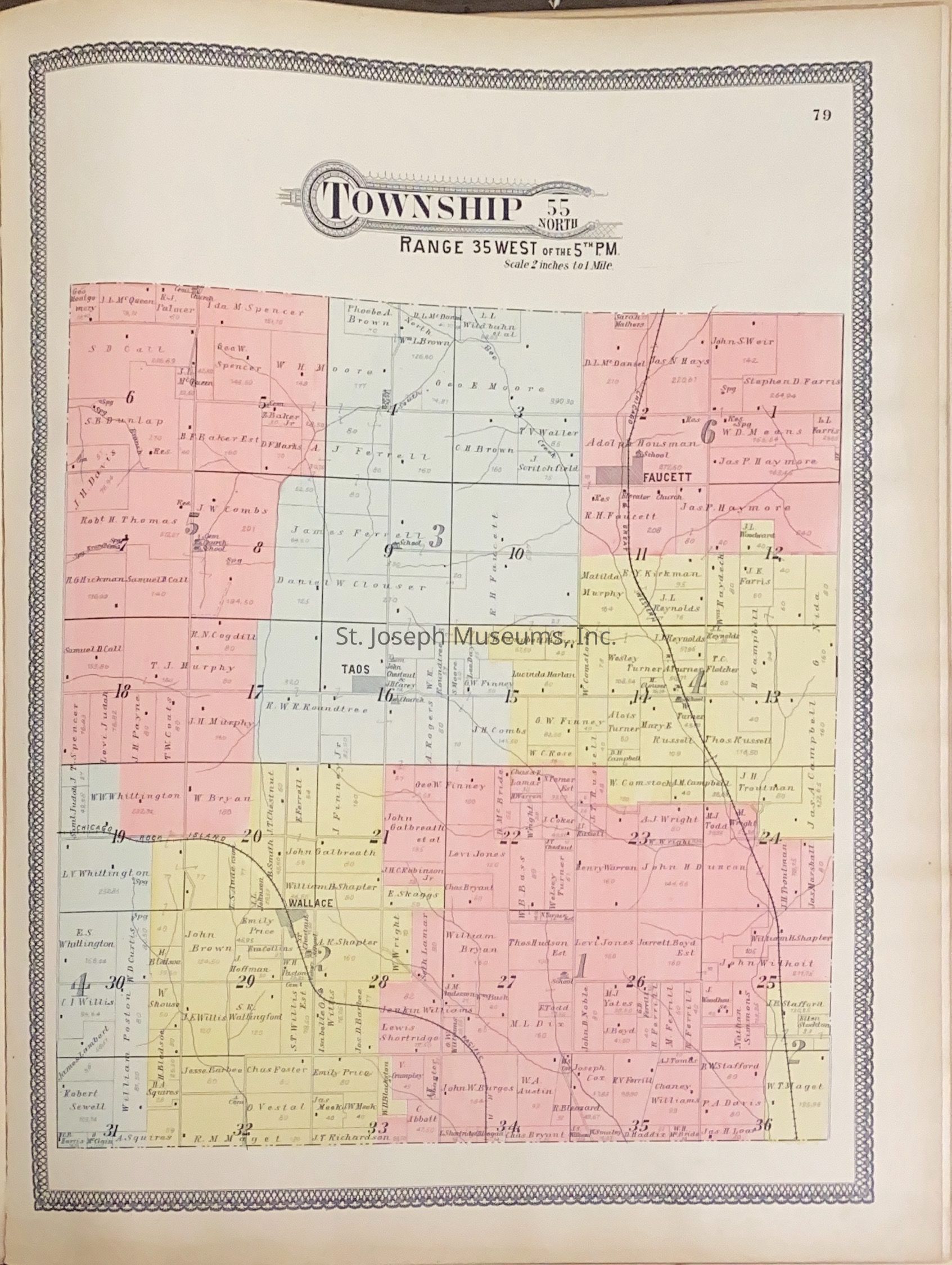
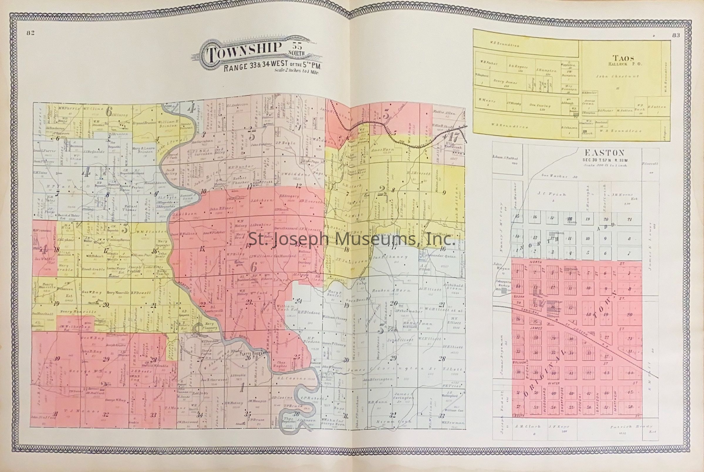
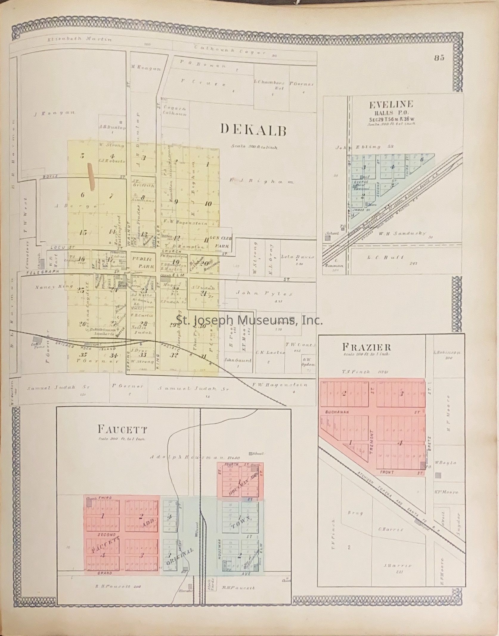
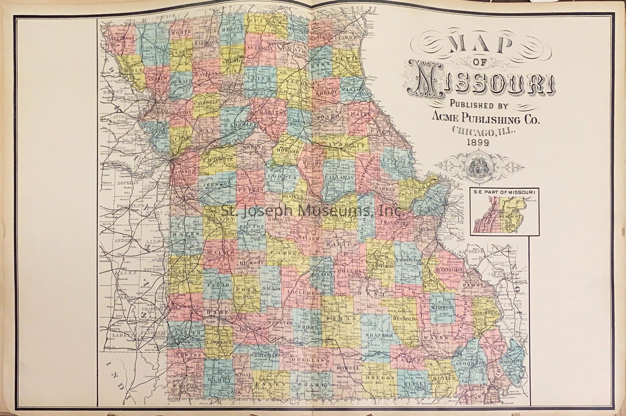
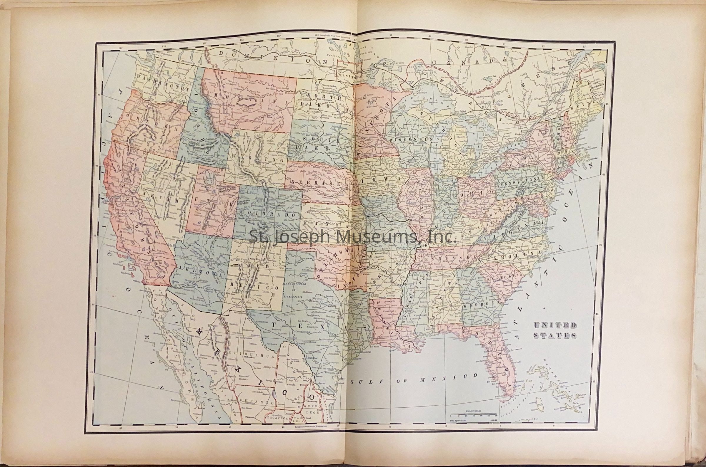
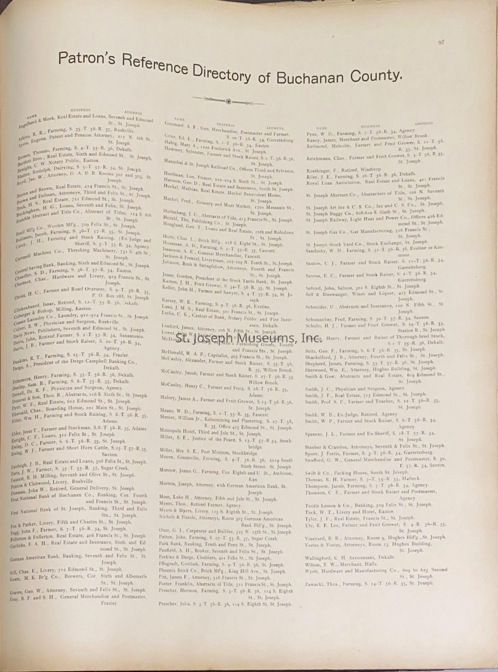
Descriptive Atlas of Buchanan County, Missouri, shows property ownership in 1899 and maps of the county. Plats of small surrounding town on separate pages - Agency, DeKalb, Easton, Eveline, Faucett, Frazier, Halleck, Halls, Jeanette, Rushville, Taos. Plats of St. Joseph are shown by Section. There is also an index that refers the reader to the correct plat map to find various additions and subdivisions to the city of St. Joseph.
There is a separate photocopy of the index on shelf by the book.
Worksheet12833
99/Hardbound/MapsLexicon
Nomenclature 4.0
Nomenclature Secondary Object Term
AtlasNomenclature Primary Object Term
CartographNomenclature Sub-Class
Graphic DocumentsNomenclature Class
Documentary ObjectsNomenclature Category
Category 08: Communication ObjectsLOC Thesaurus for Graphic Materials
MapsSearch Terms
Buchanan County, Missouri - atlas & plat maps, St. Joseph, Missouri - Atlas., St. Joseph, Missouri, Buchanan CountyPublication Details
Author
No AuthorPlace Published
City
ChicagoState/Province
IllinoisDate Published
1899Call No.
StJoArea NONotes
Copy No.: 1