Photograph

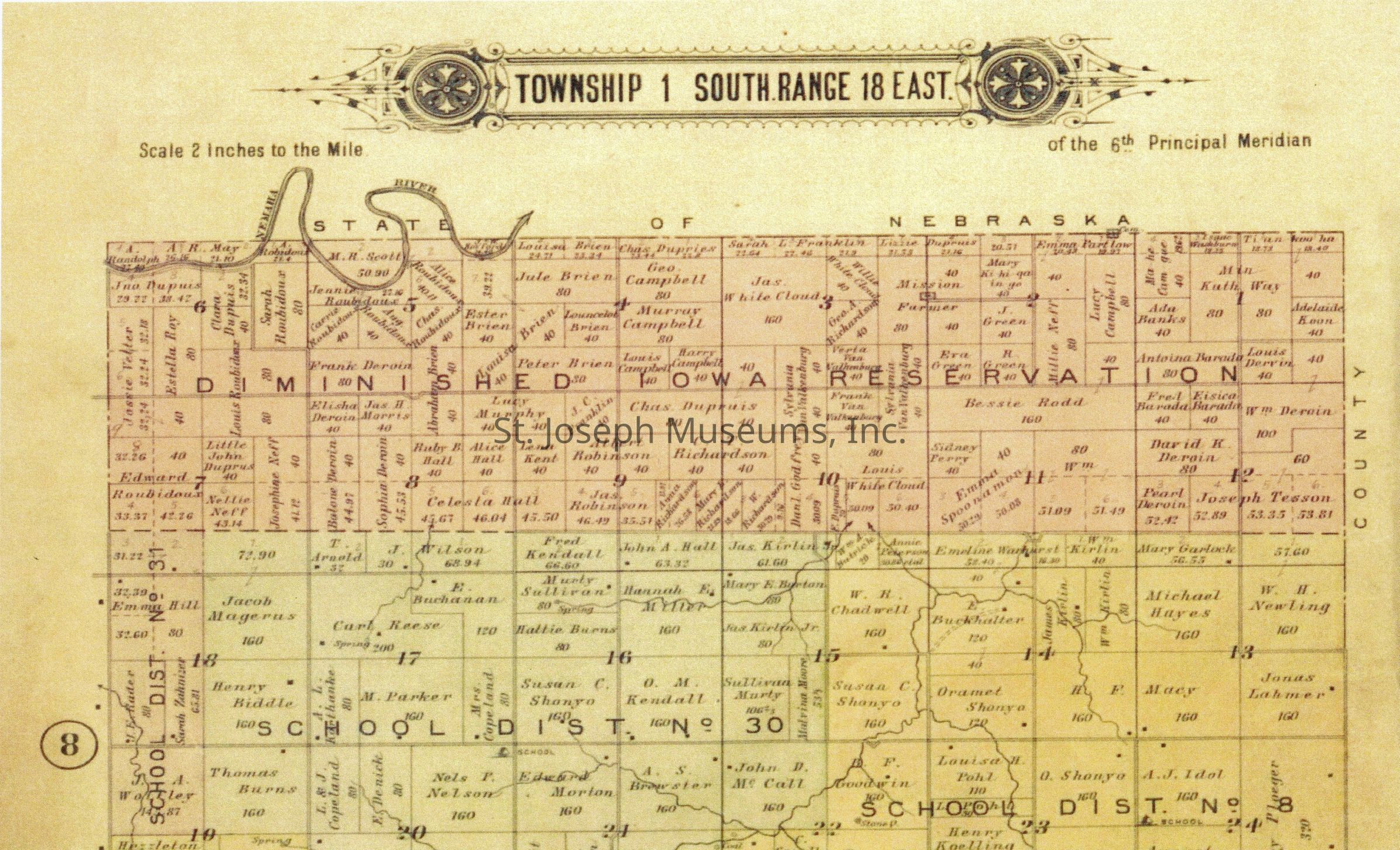
Digital photograph of a map of Township 1 South Range 18 East: This map shows the diminished Iowa reservation highlighted in red, School District No. 30 highlighted in green, School District No. 31 highlighted in red, and School District No 8 highlighted in yellow.  This is a partial picture of the map, showing the upper portion.
Digital photograph of a map of Township 1 South Range 18 East

This map shows the diminished Iowa reservation highlighted in red, School District No. 30 highlighted in green, School District No. 31 highlighted in red, and School District No 8 highlighted in yellow. This is a partial picture of the map, showing the upper portion.

Name/Title

Photograph

Entry/Object ID

Q2025.24.5

Description

Digital photograph of a map of Township 1 South Range 18 East

Photograph Details

Type of Photograph

Digital

Subject

Ioway Tribe Native man

Subject Person or Organization

Iowa Tribe of Kansas and Nebraska

Context

Photograph donated by Reuben Noah, curator of the Ioway and Sac & Fox Mission Museum.

Collection

NATIVE AMERICAN, PHOTOGRAPHS

Color

Tan

Relationships

Related Person or Organization

Person or Organization

Iowa Tribe of Kansas and Nebraska

Related Places

Place

State/Province

Kansas, Nebraska