Name/Title
DocumentEntry/Object ID
2014.2.3298Scope and Content
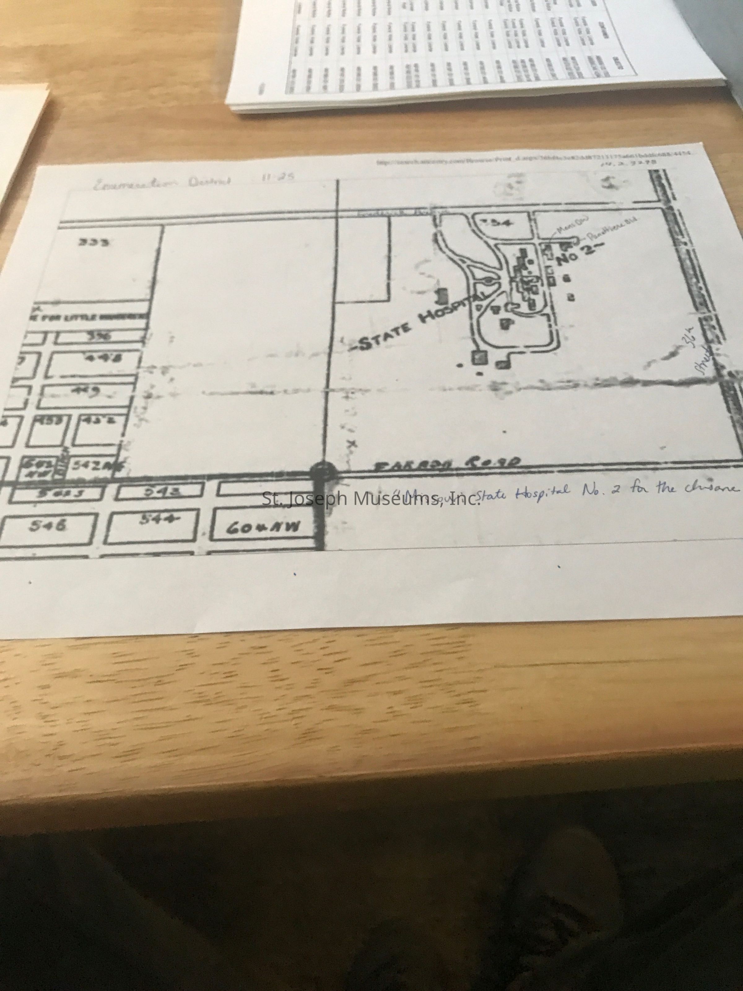
A printed copy on plain white paper from the website 'http://search.ancestry.com/Browse/Print_d.aspx/36bf4c3e82dd87213175a661bddfc688/4454...'
depicting a hand drawn map of State Hospital No. 2 grounds and surrounding area. It was printed on 4/2/2012 11:29 AM.
There are handwritten edits in blue ink of streets and building names.Context
The page is named "Enumeration District : 11-25". The items added are Frederick Avenue and 36th Street as well as Mens DW and Panettiere Bld. pointed out. At the bottom of the page is written "Missouri State Hospital No. 2 for the Insane".
On the left side of the hospital seems to be a large empty space, then what looks like land tracts some of which are numbered 333, 396, 453, 542 NW and 542 NE. The are separated by the street of Birch which is off of Faraon. Below Faraon, the numbers continue of 546, 544, and 604 NW.Lexicon
Nomenclature 4.0
Nomenclature Sub-Class
Other DocumentsNomenclature Class
Documentary ObjectsNomenclature Category
Category 08: Communication Objects