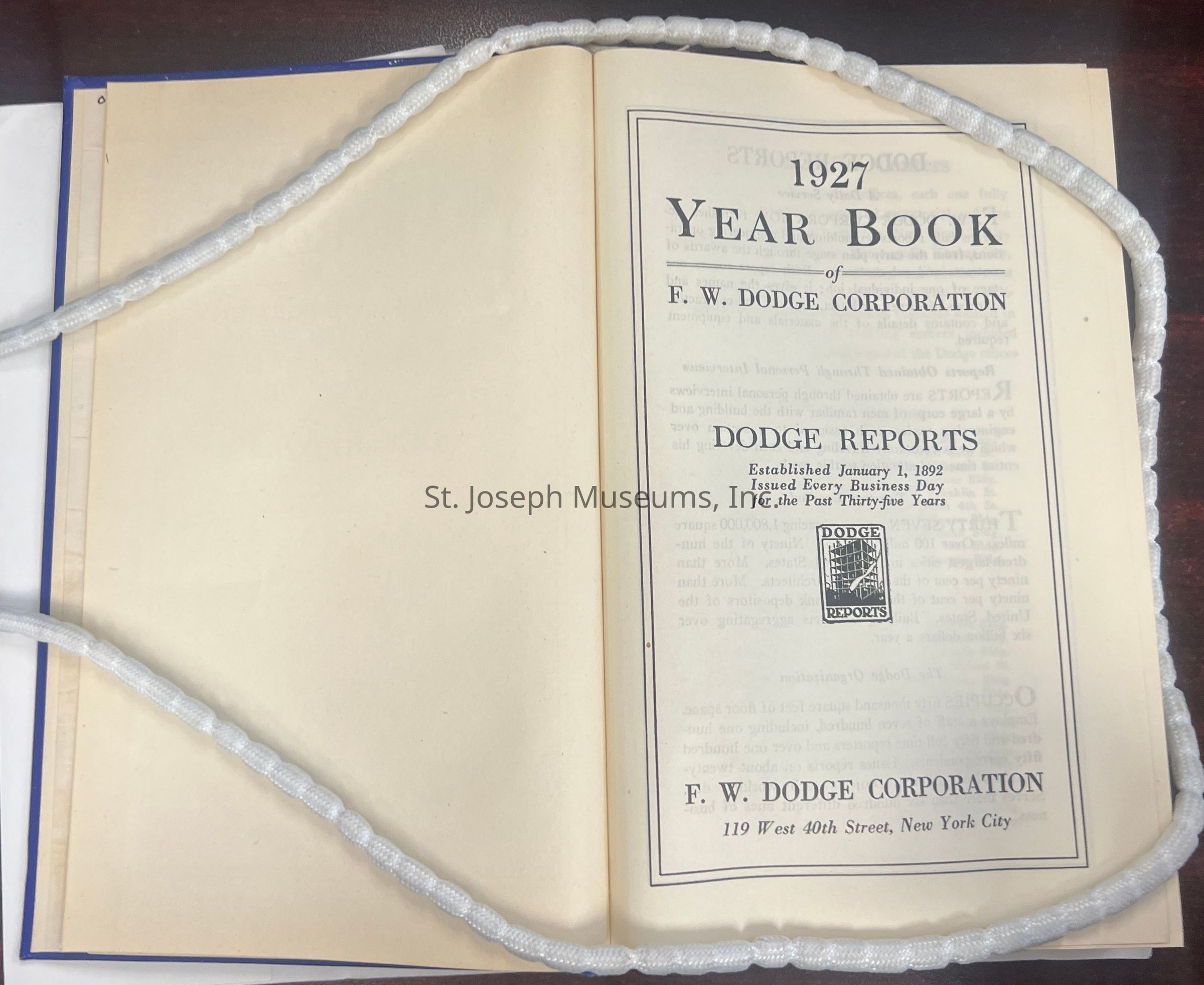
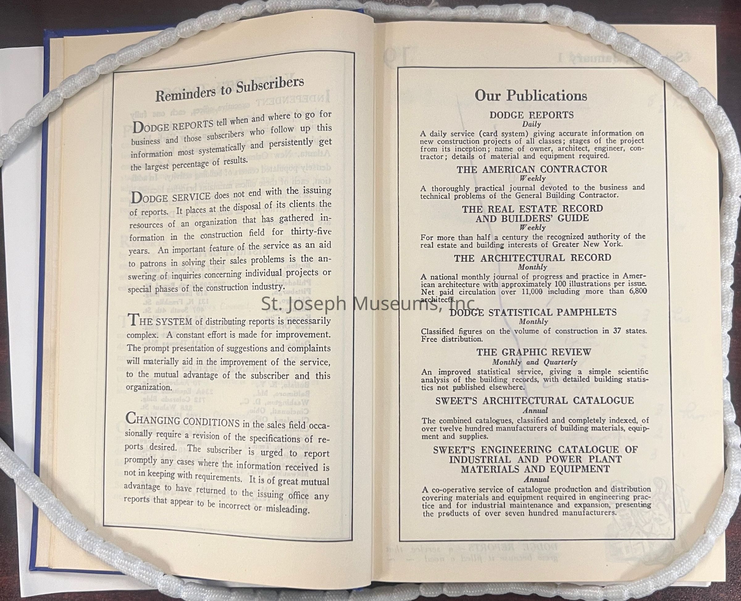
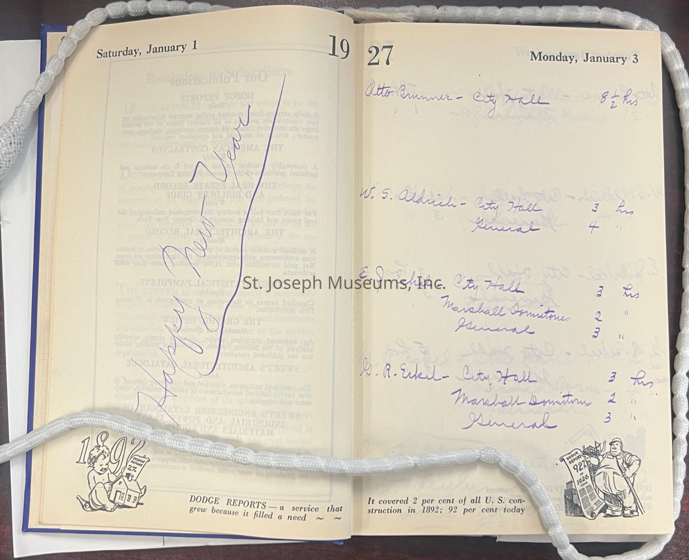
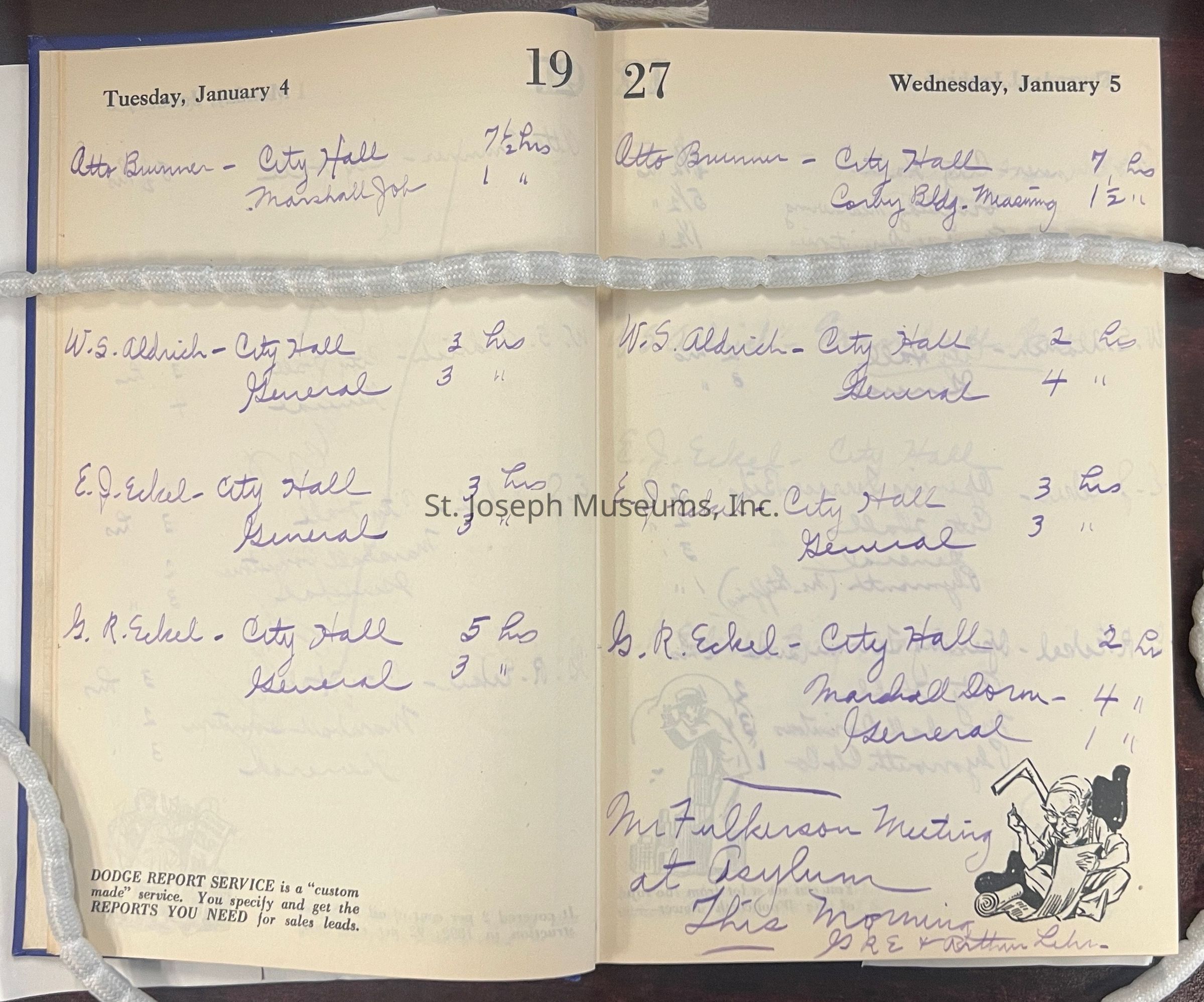
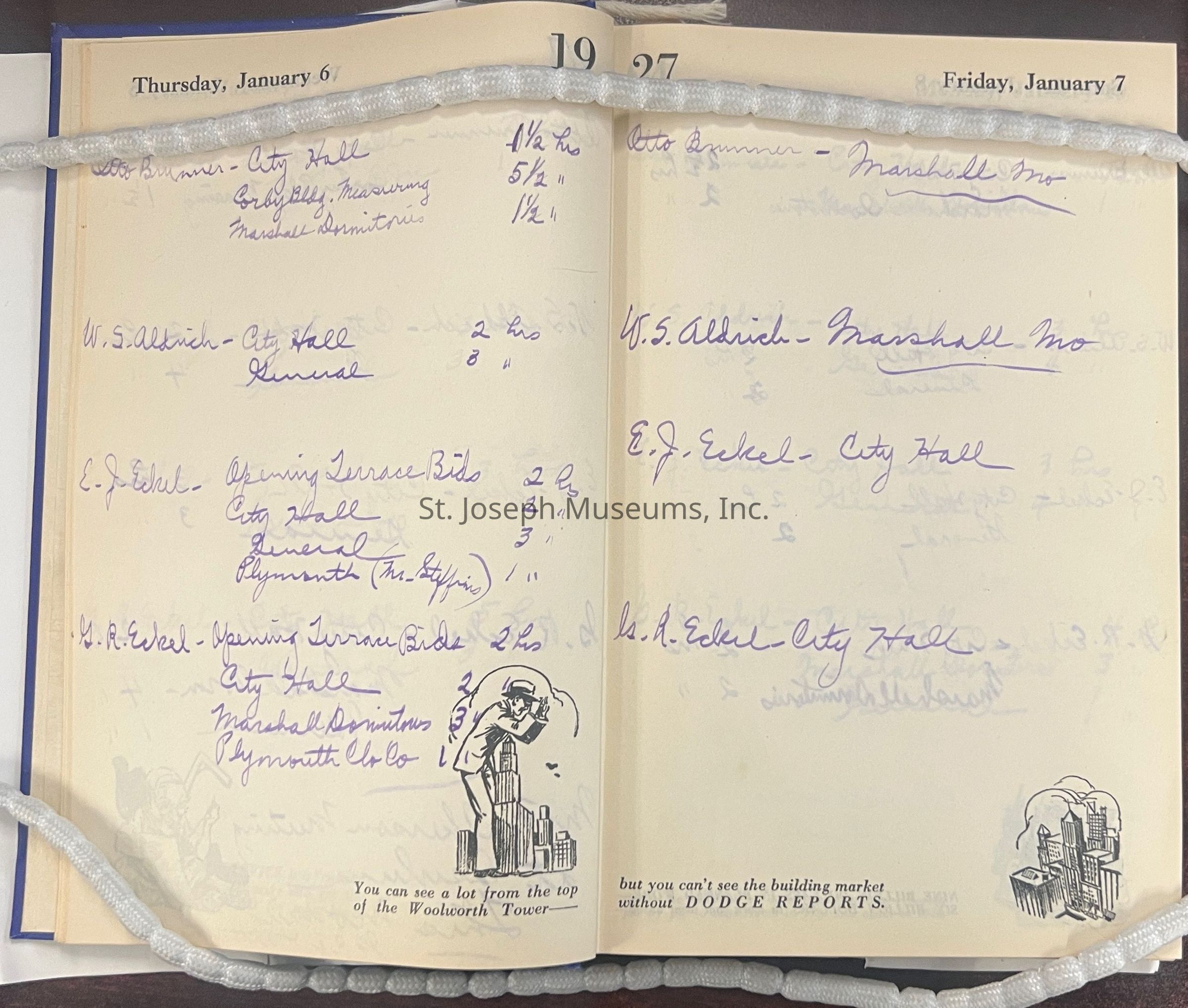
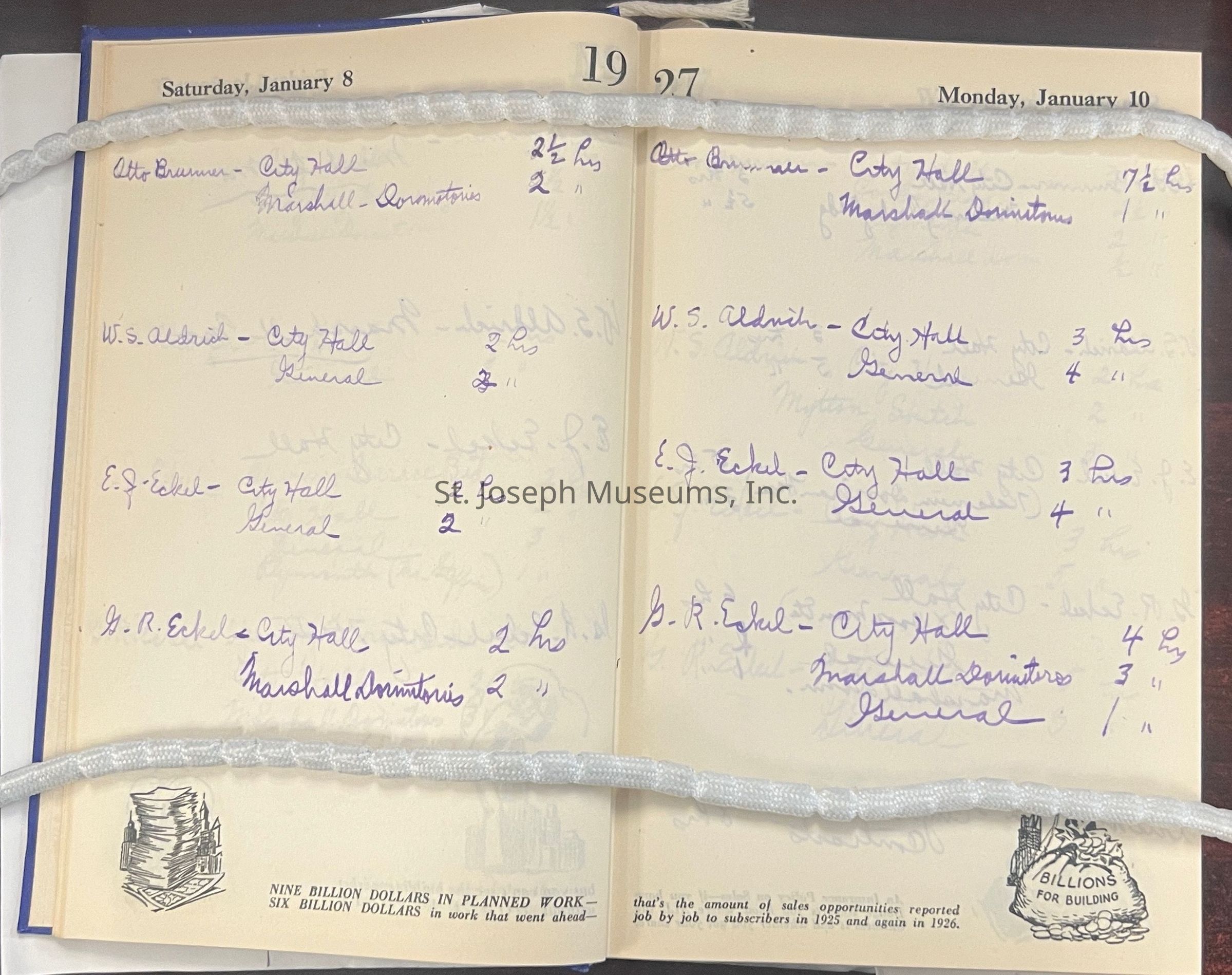
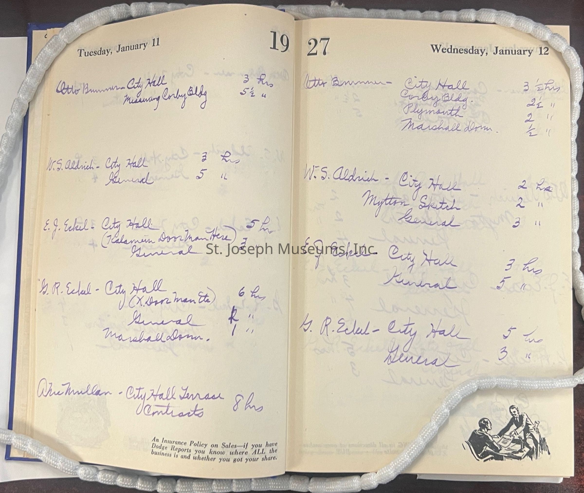
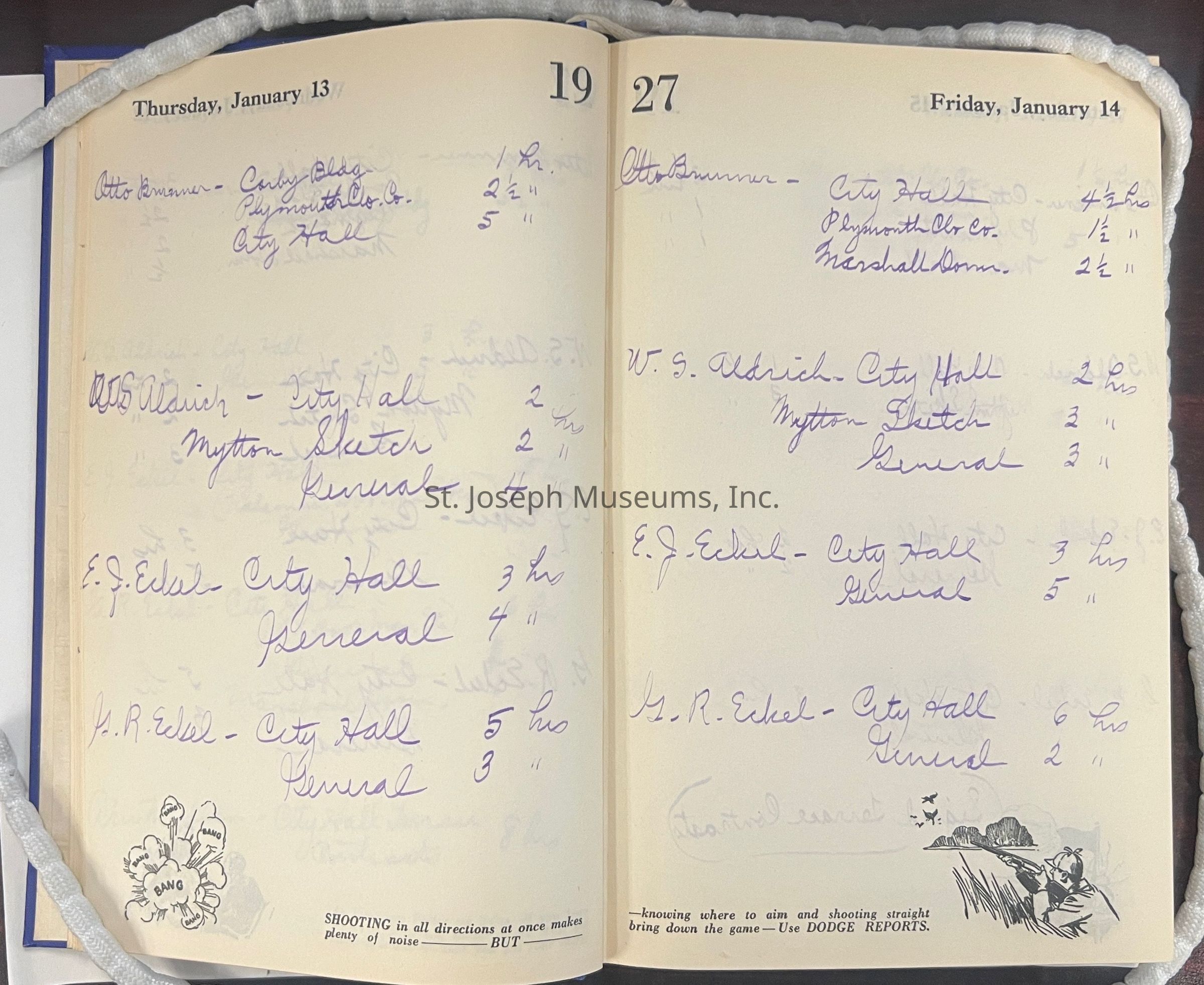
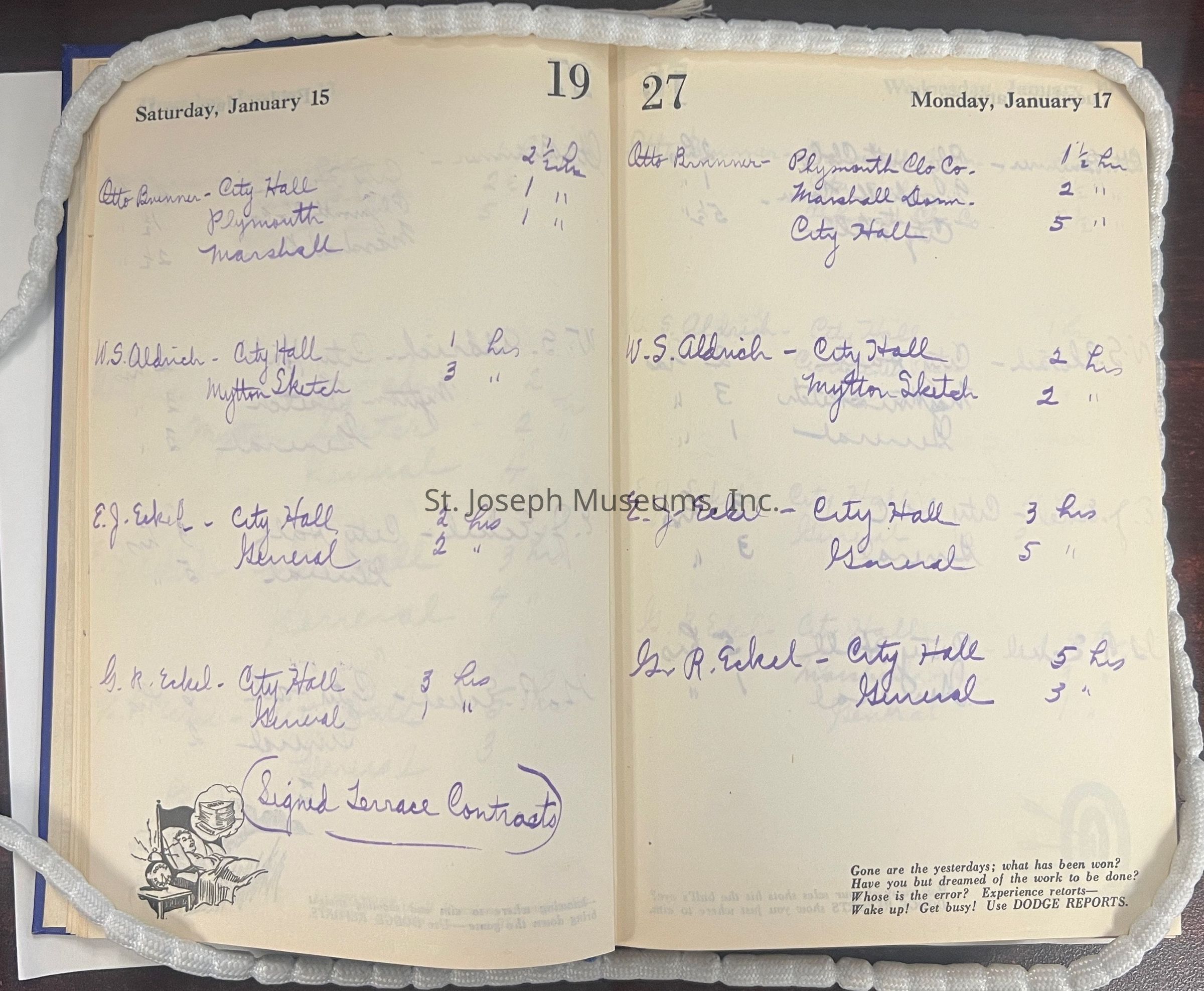
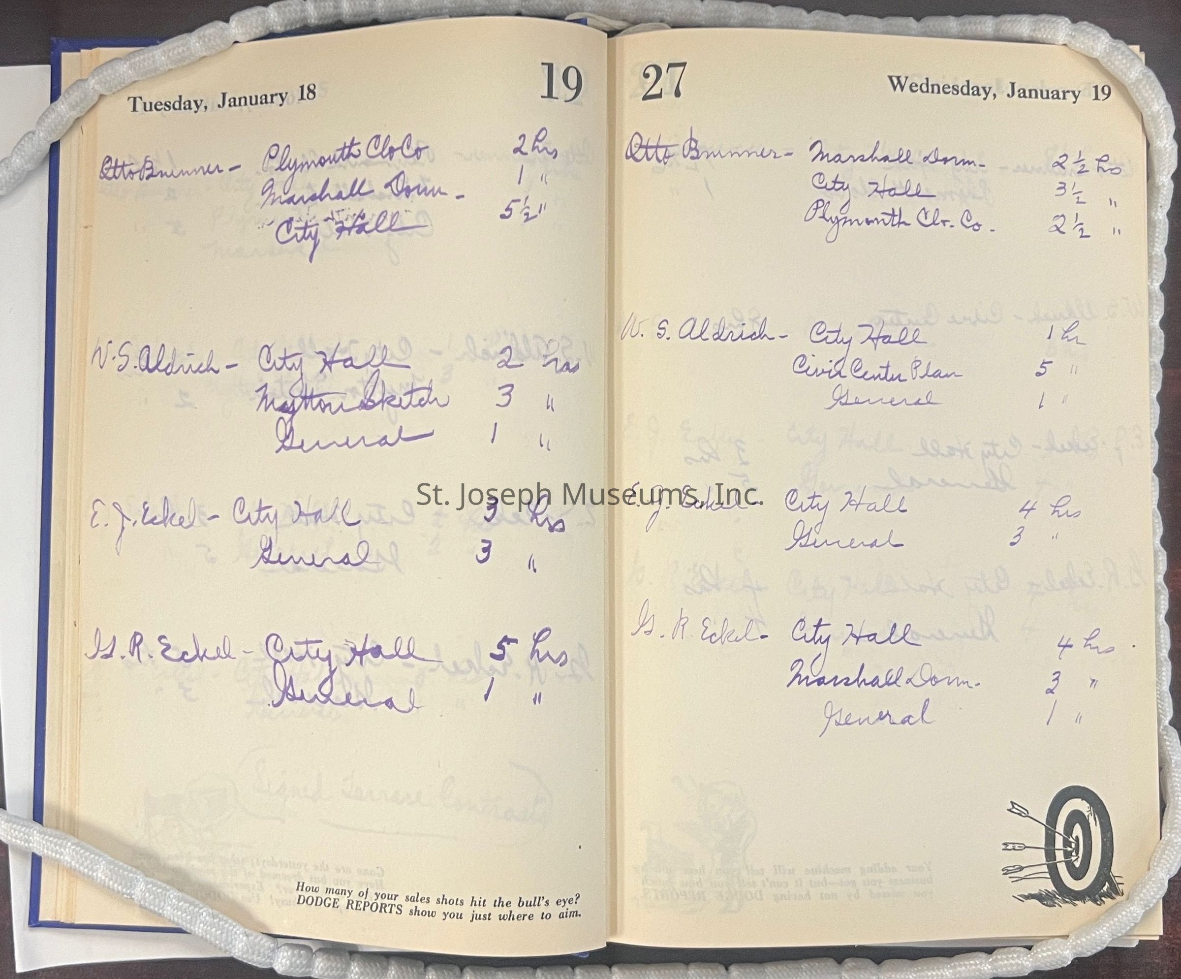
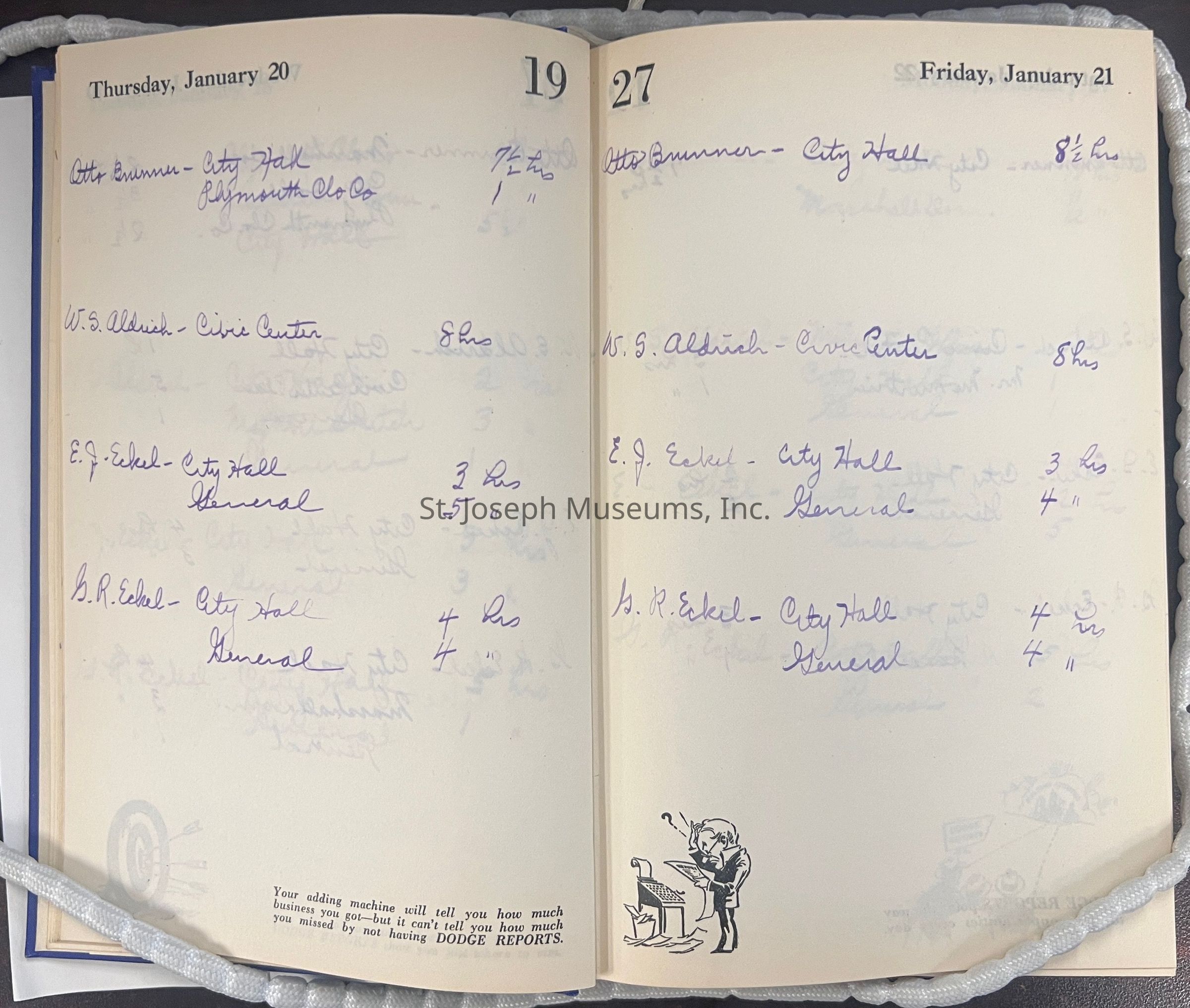
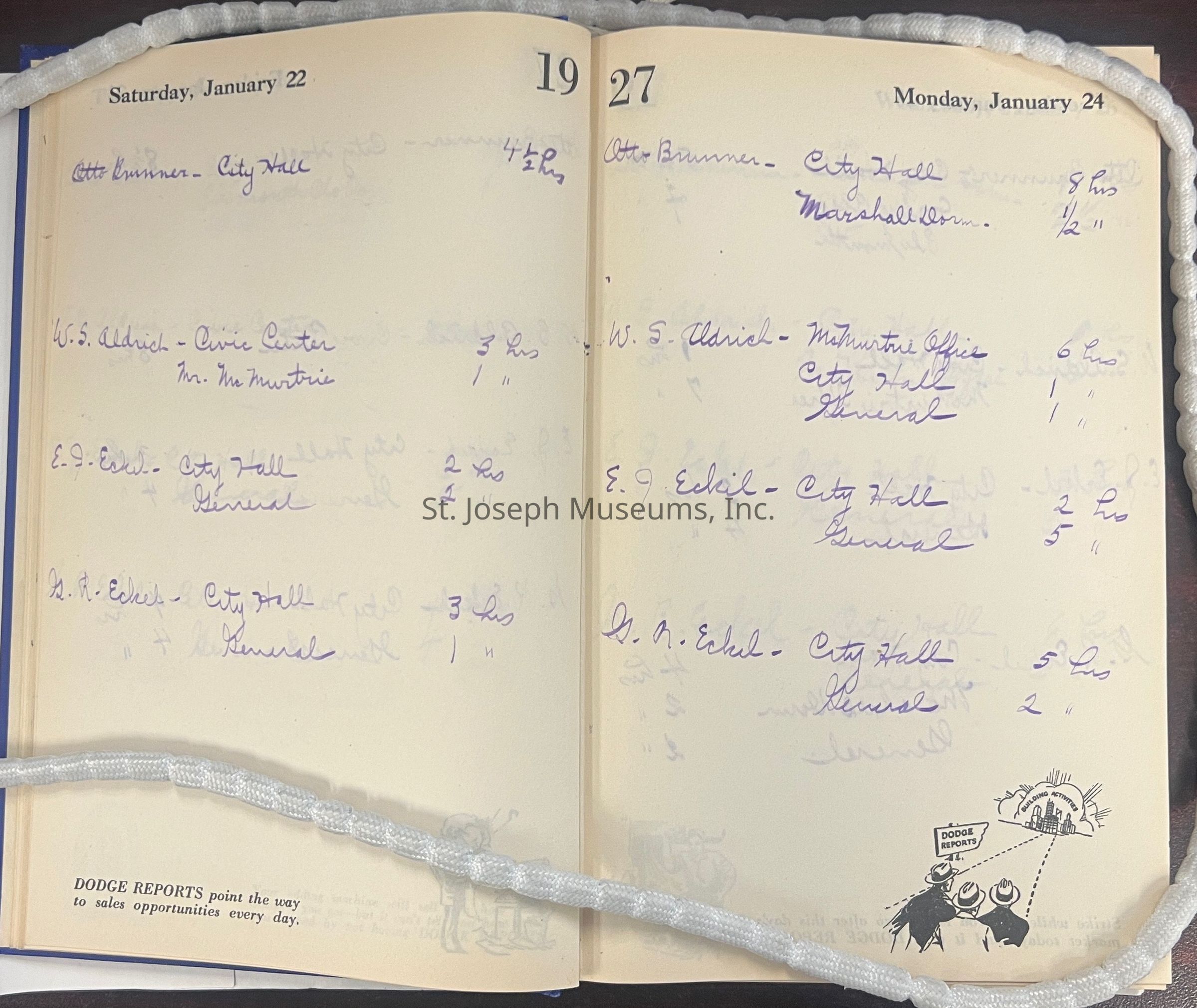
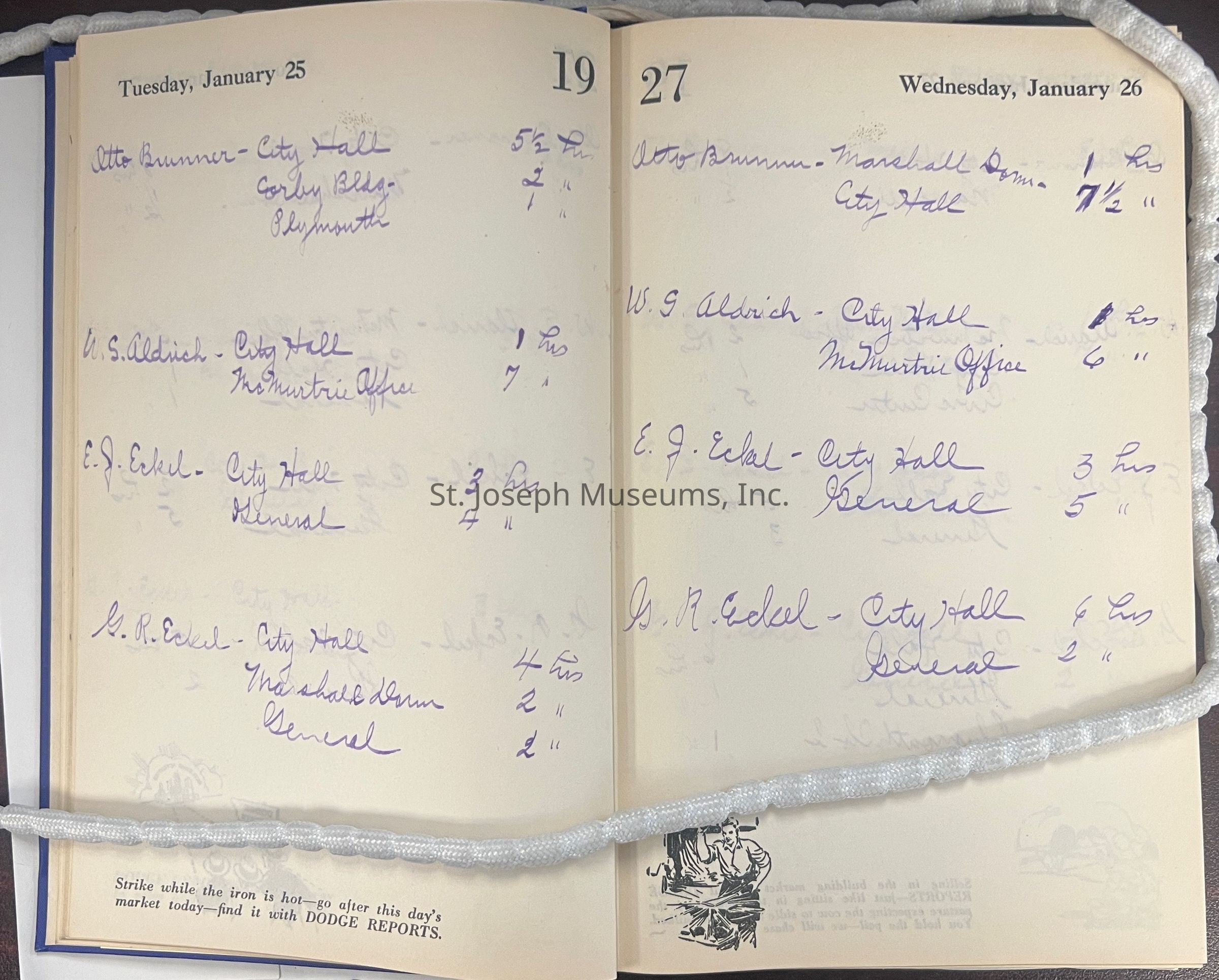
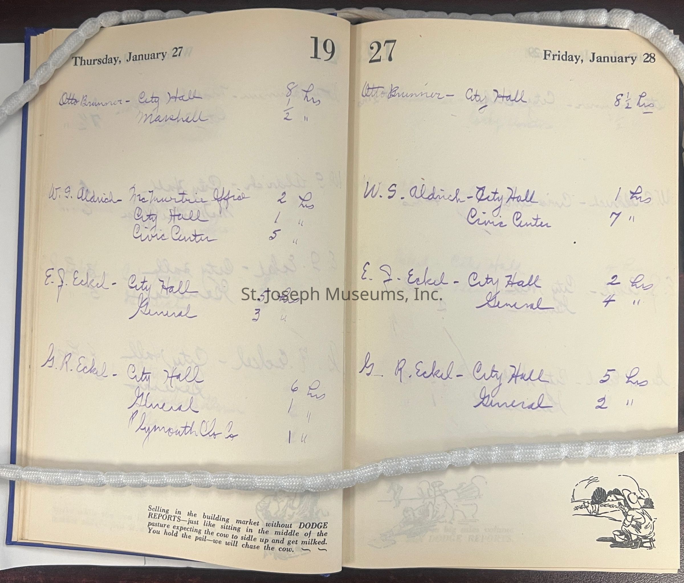
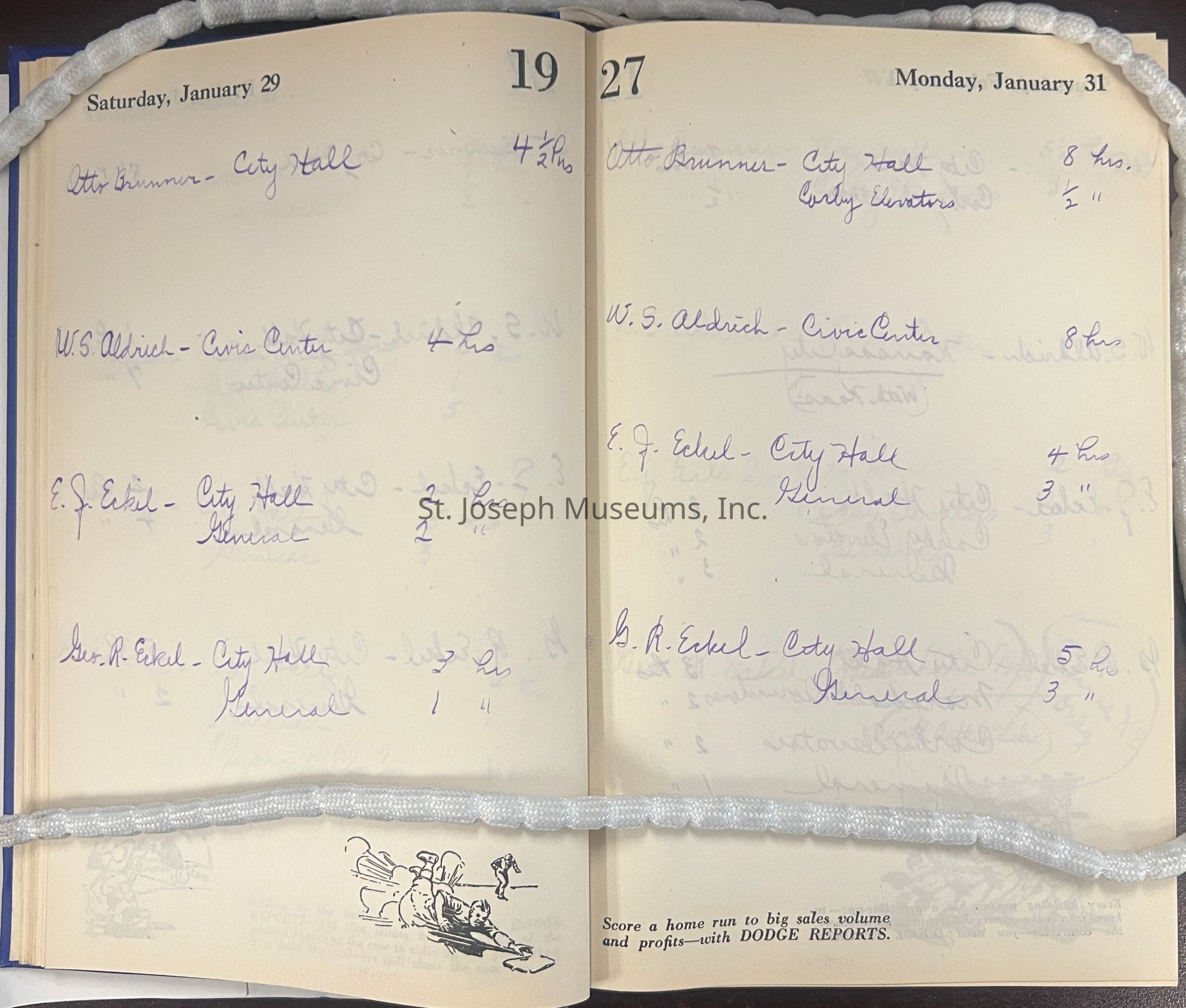
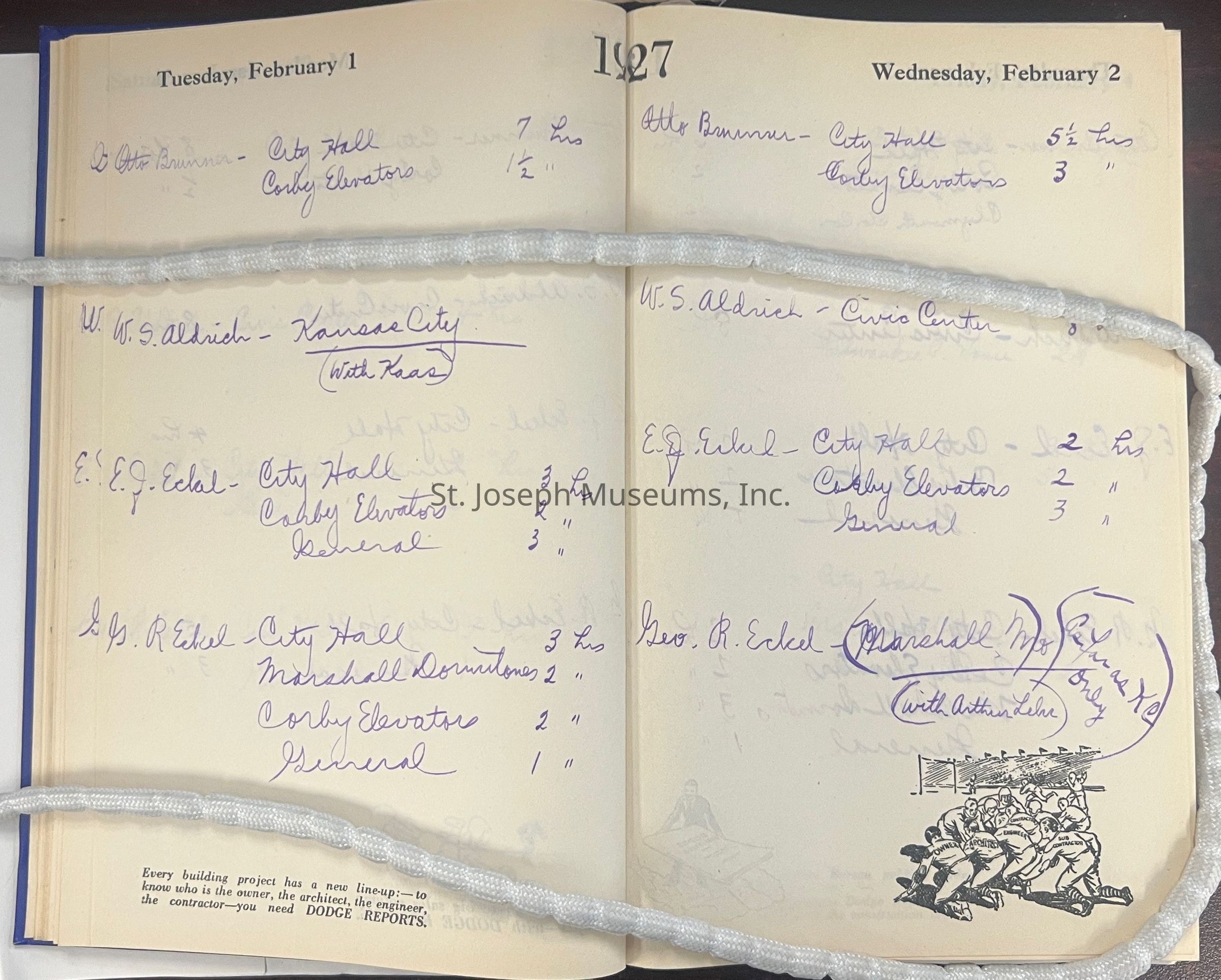
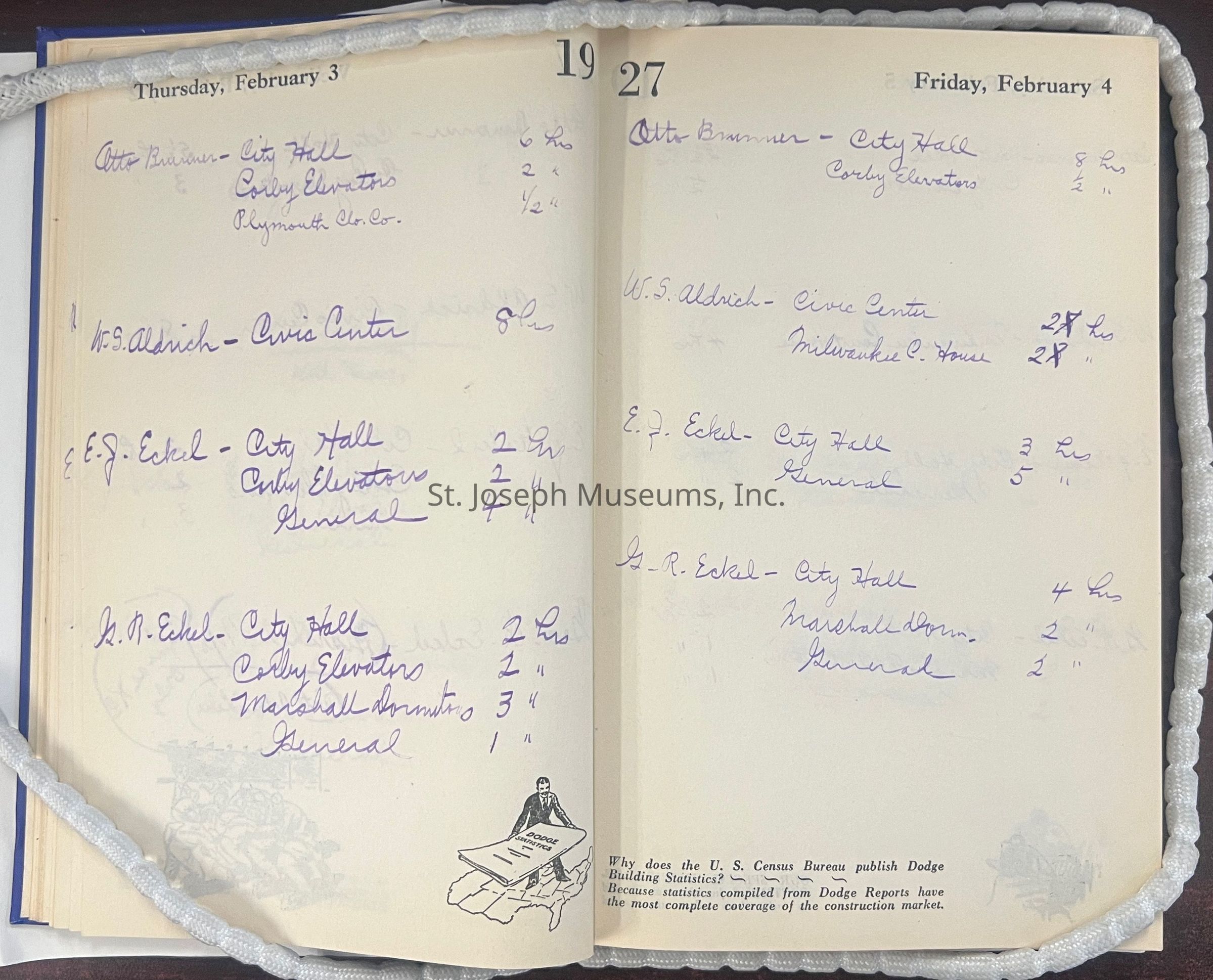
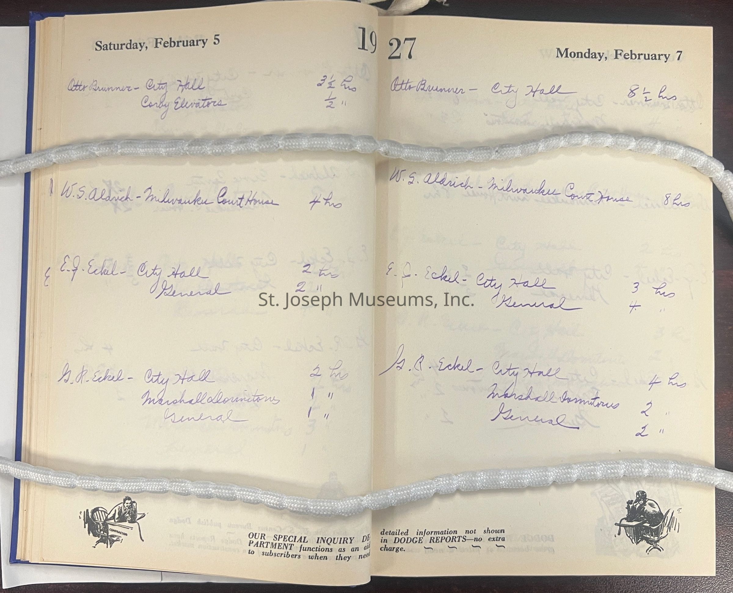
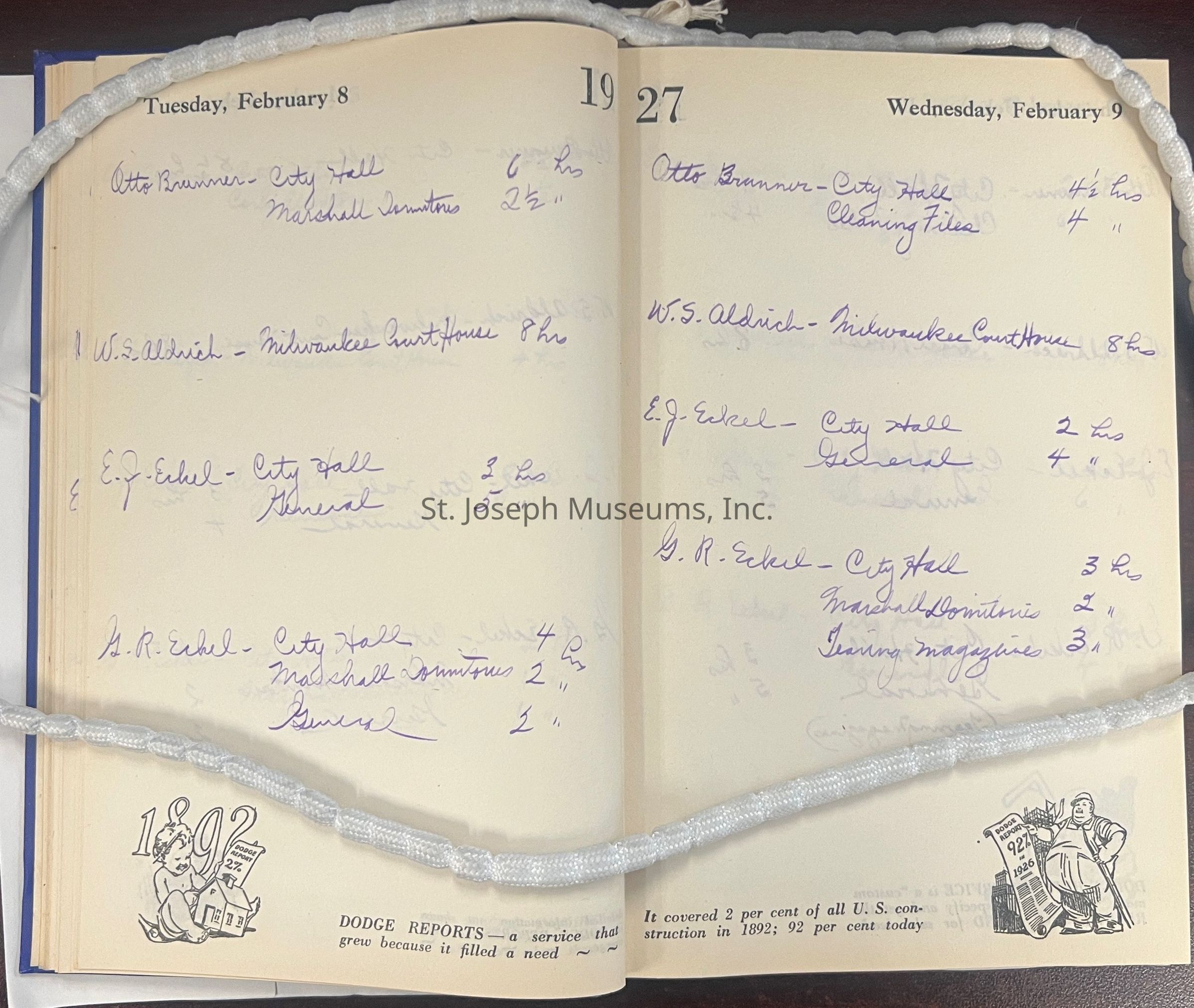
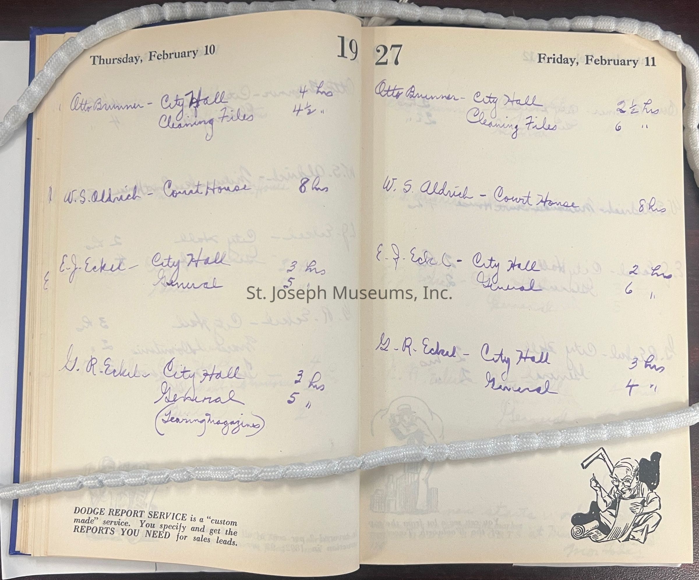
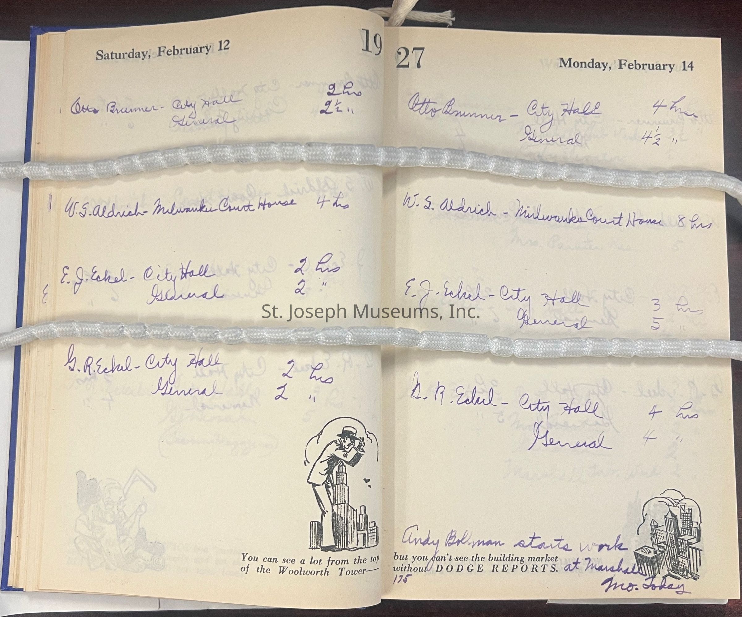
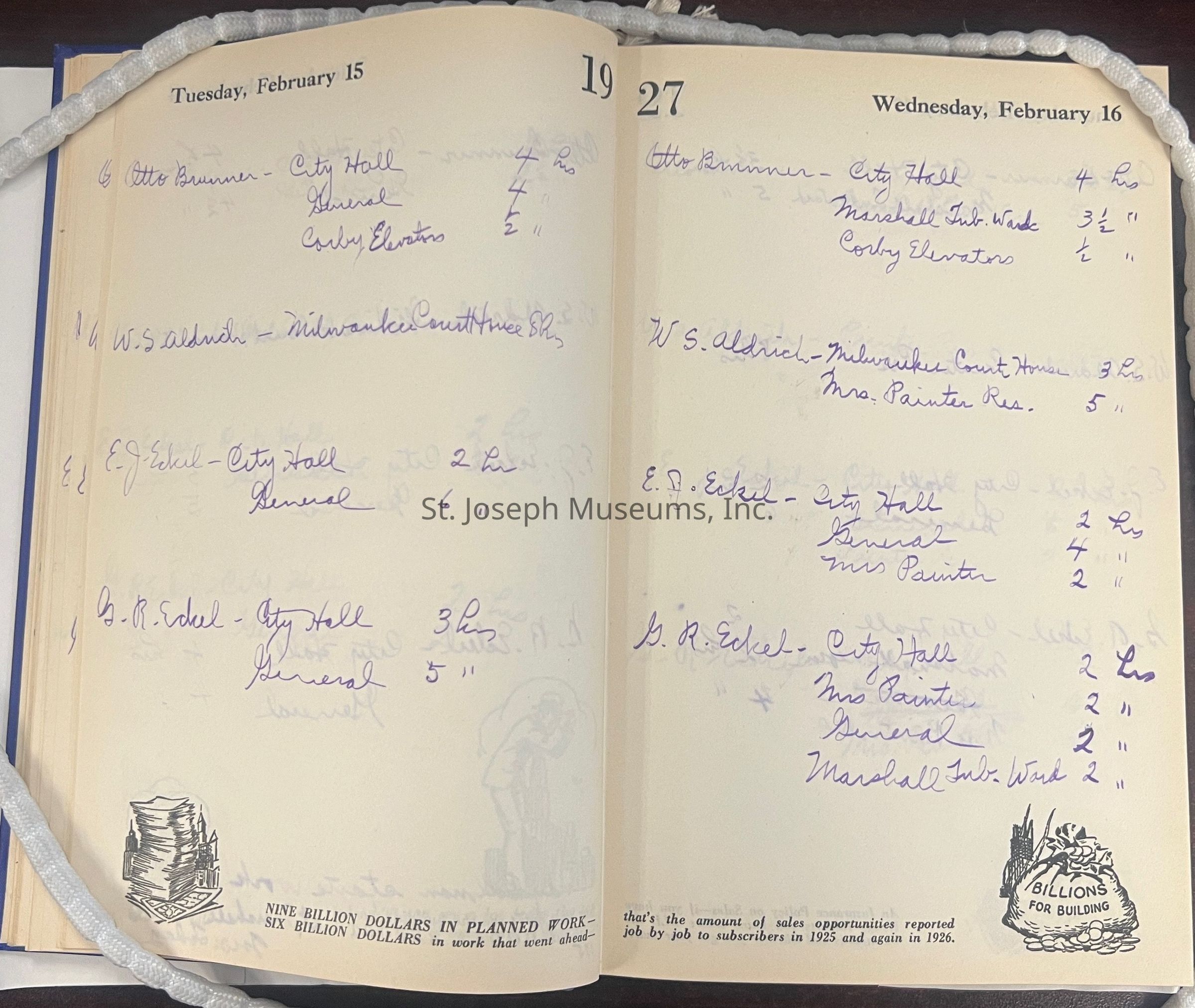
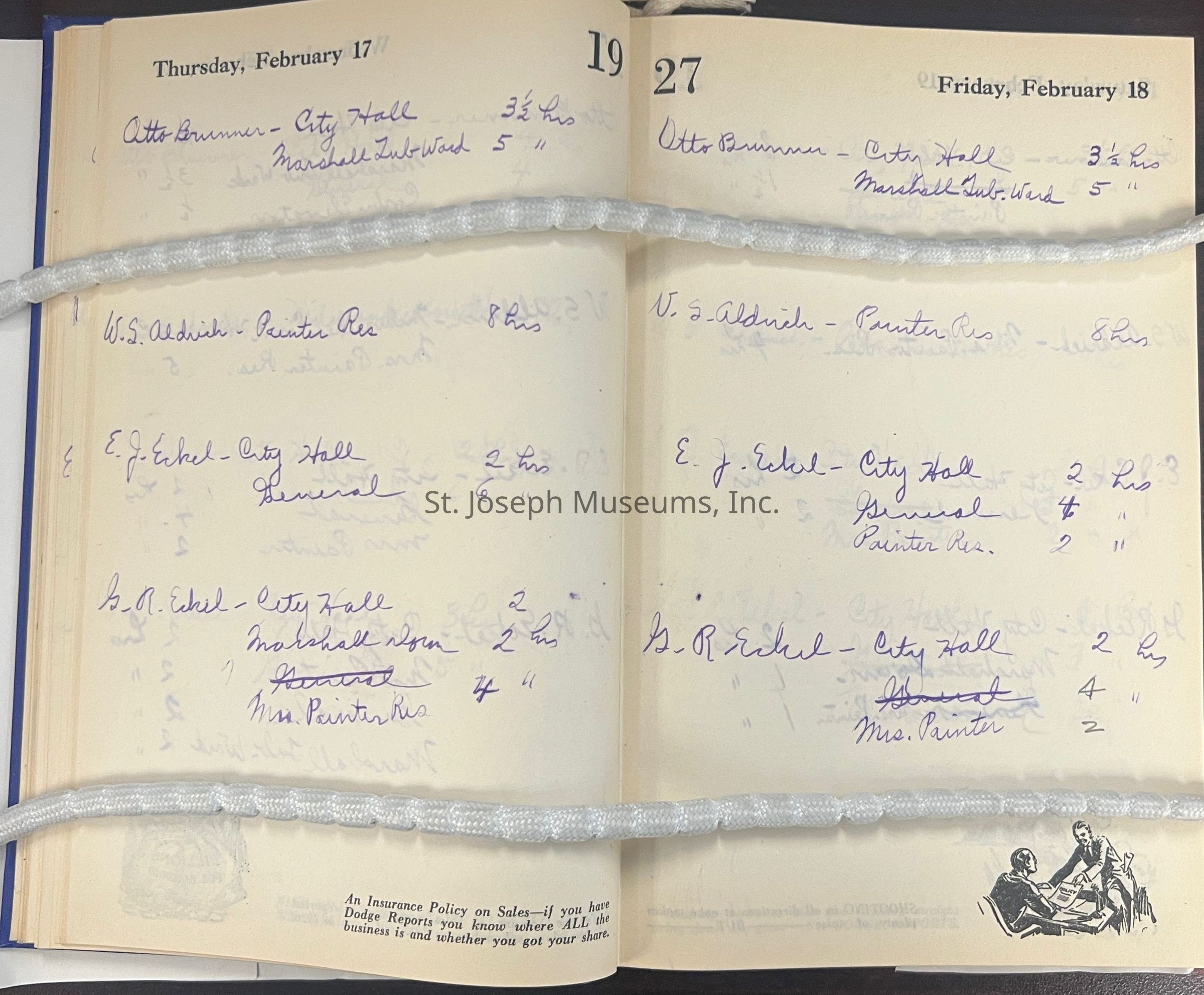
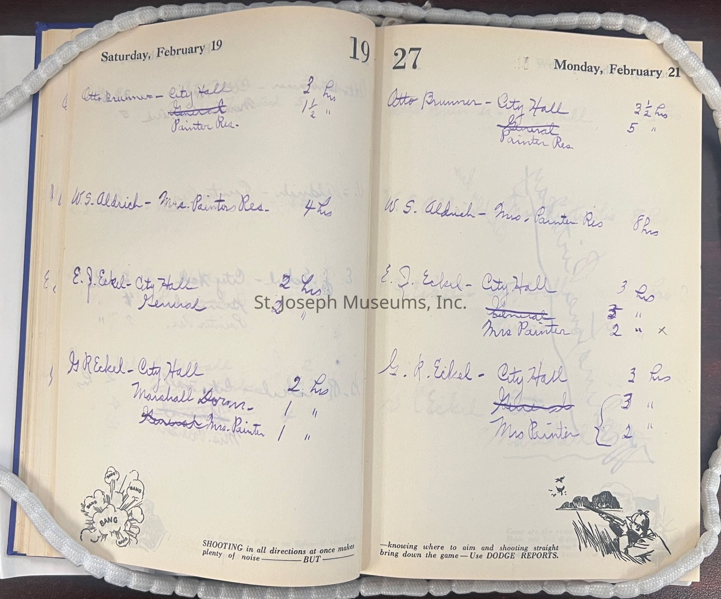
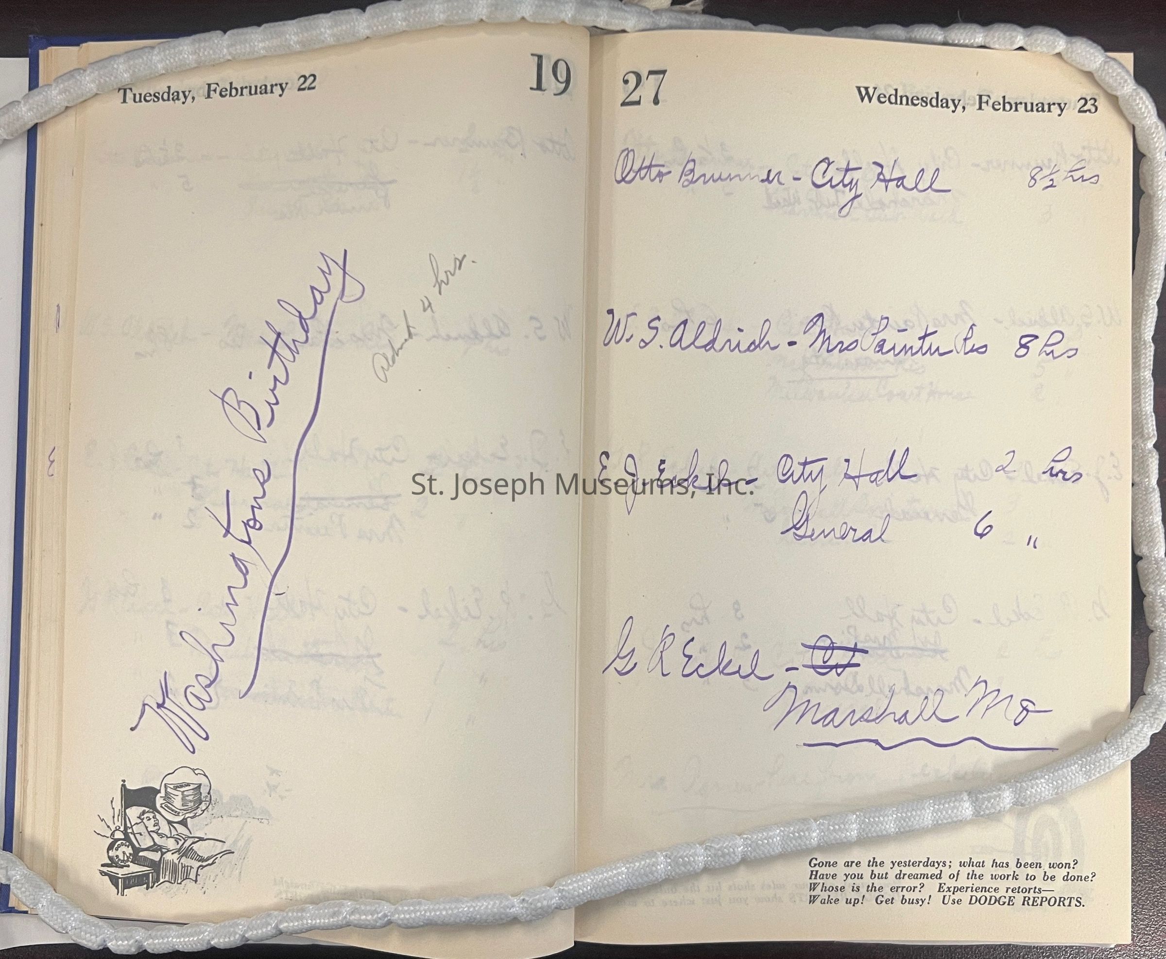
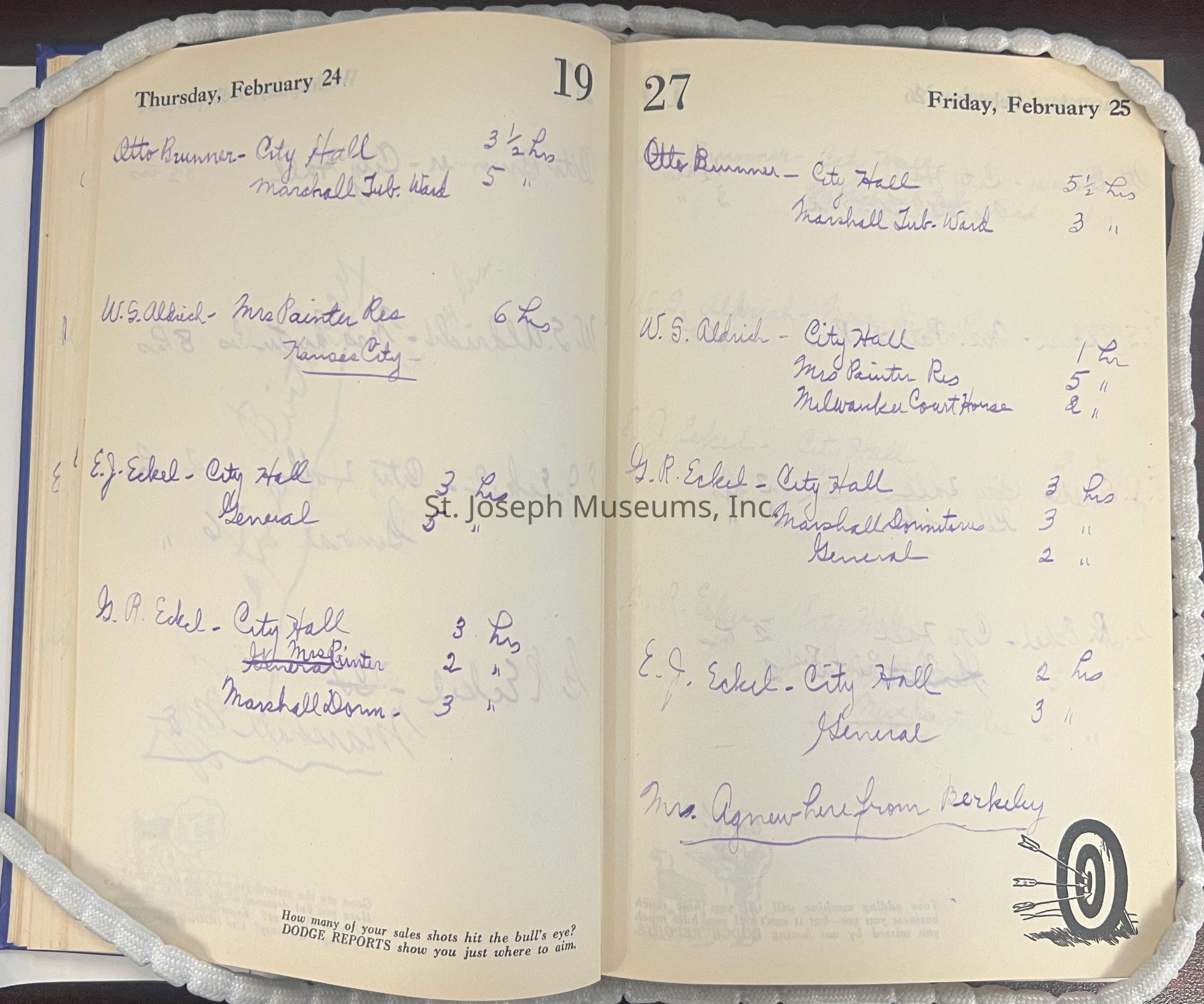
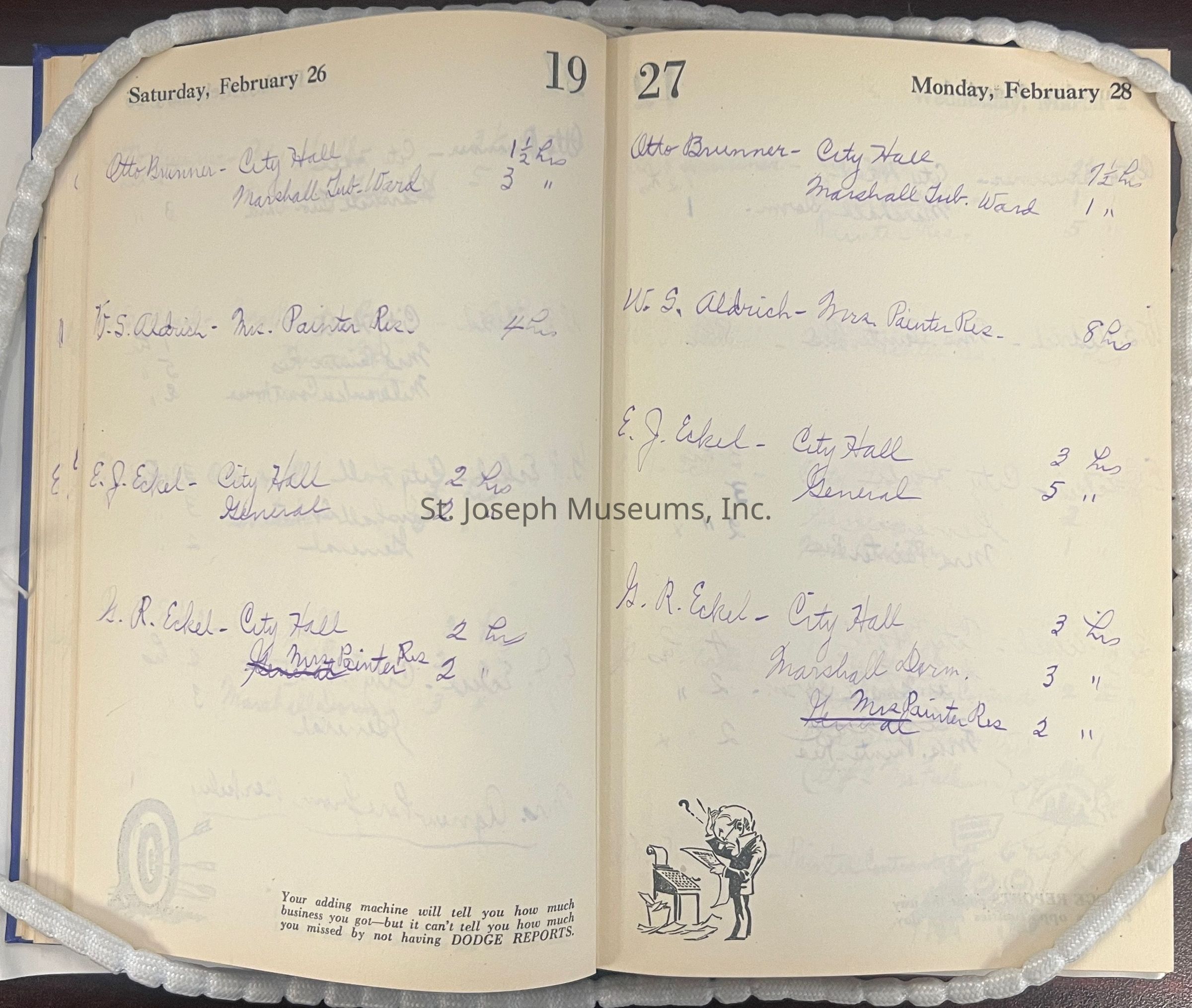
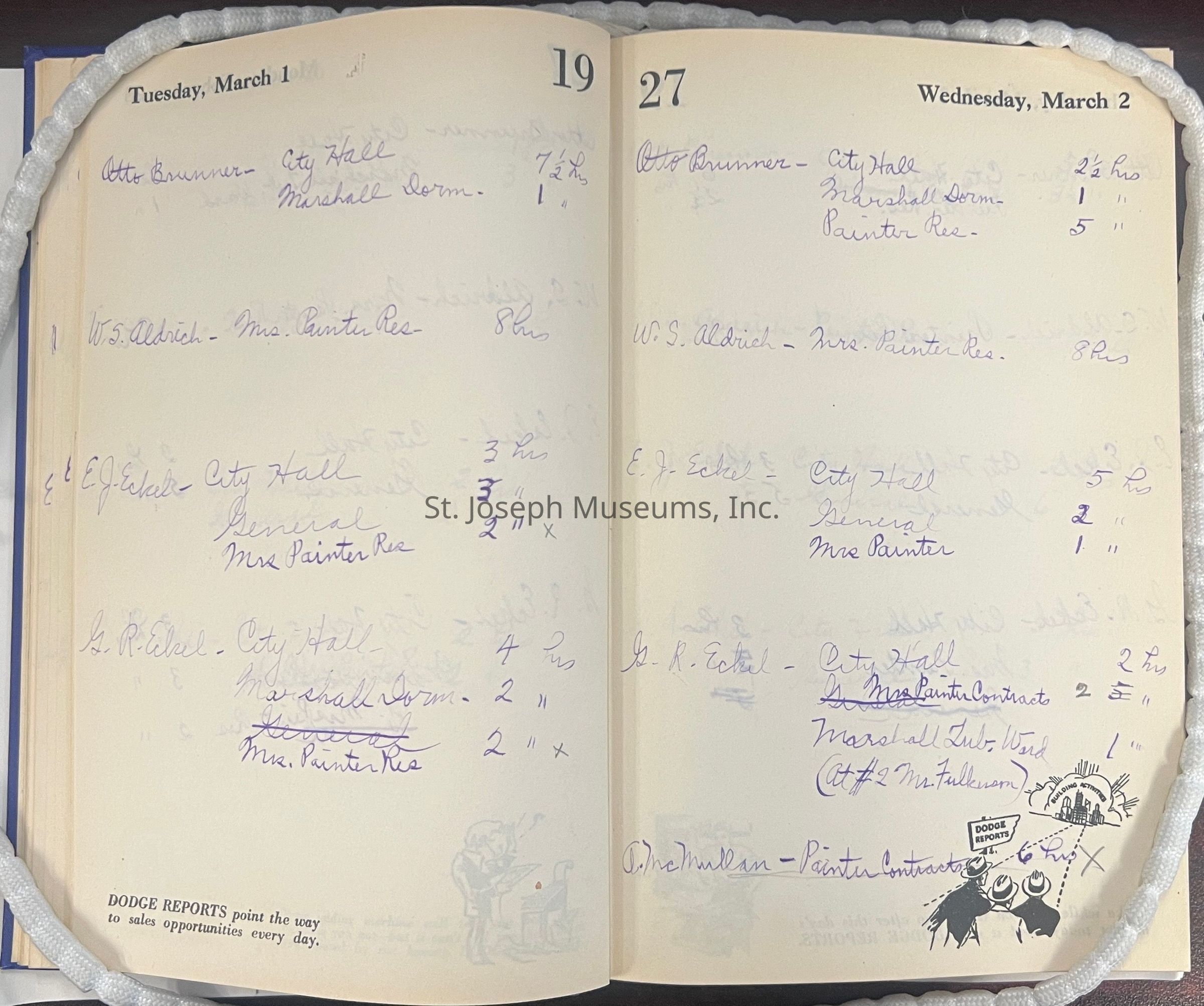
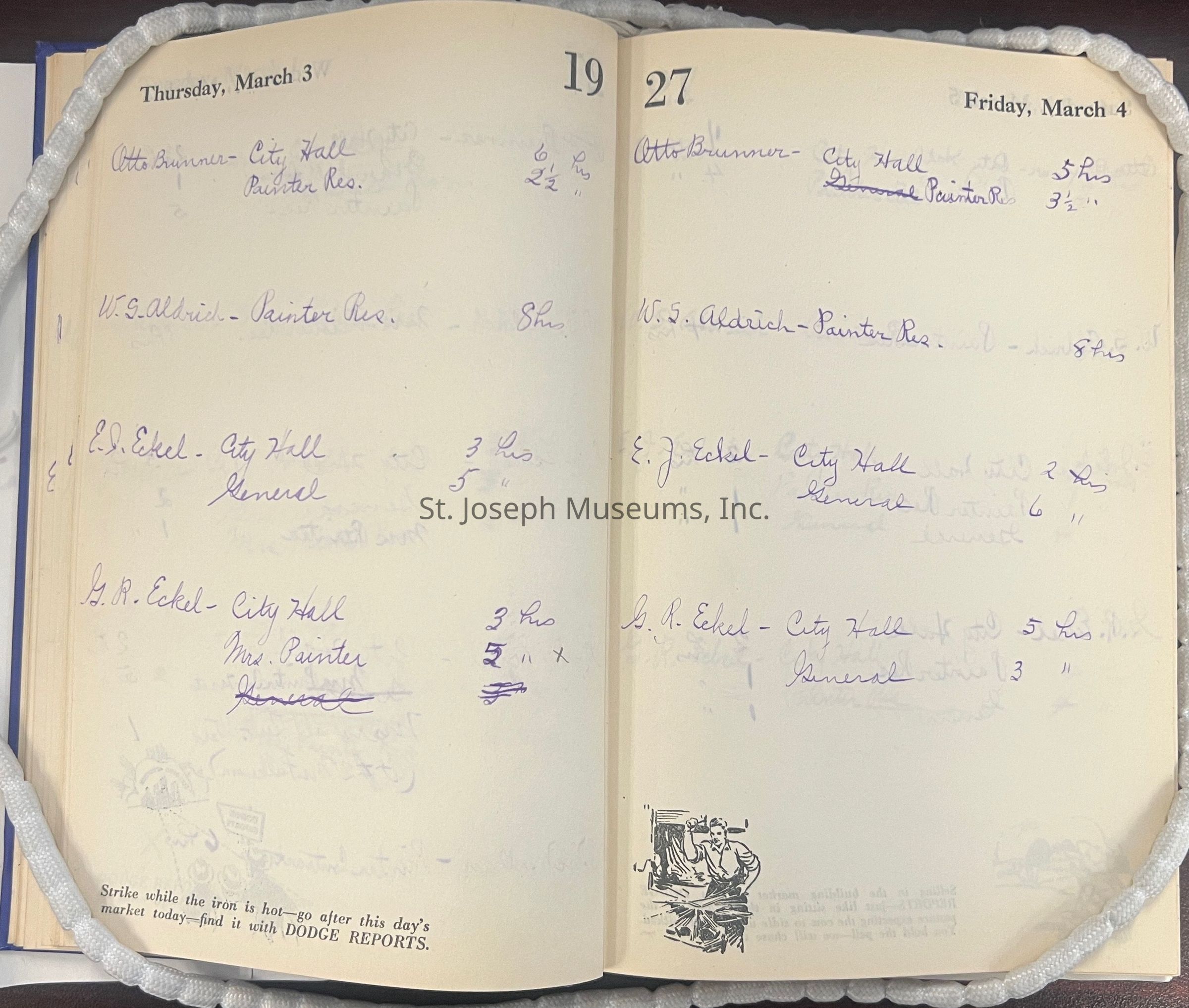
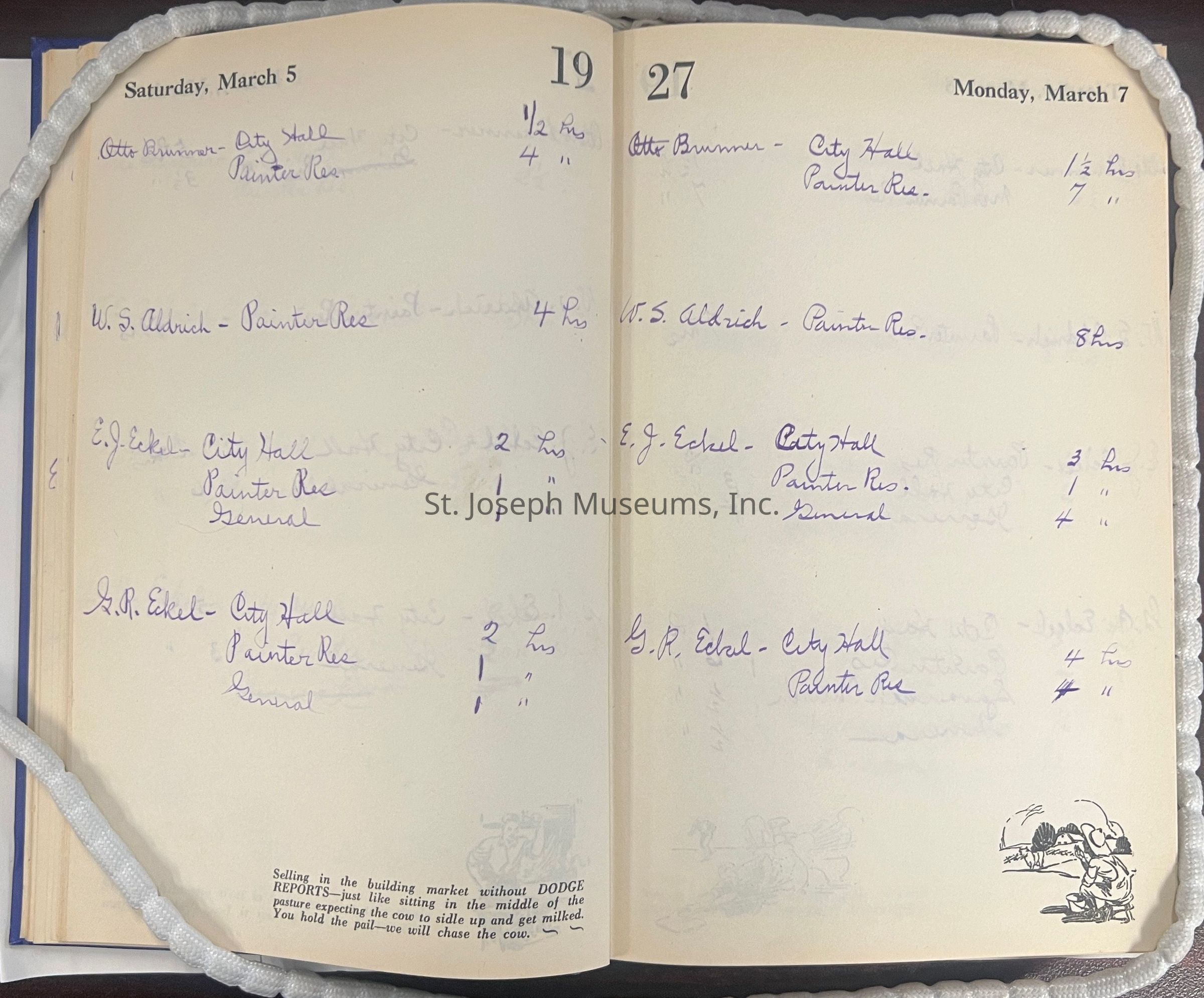
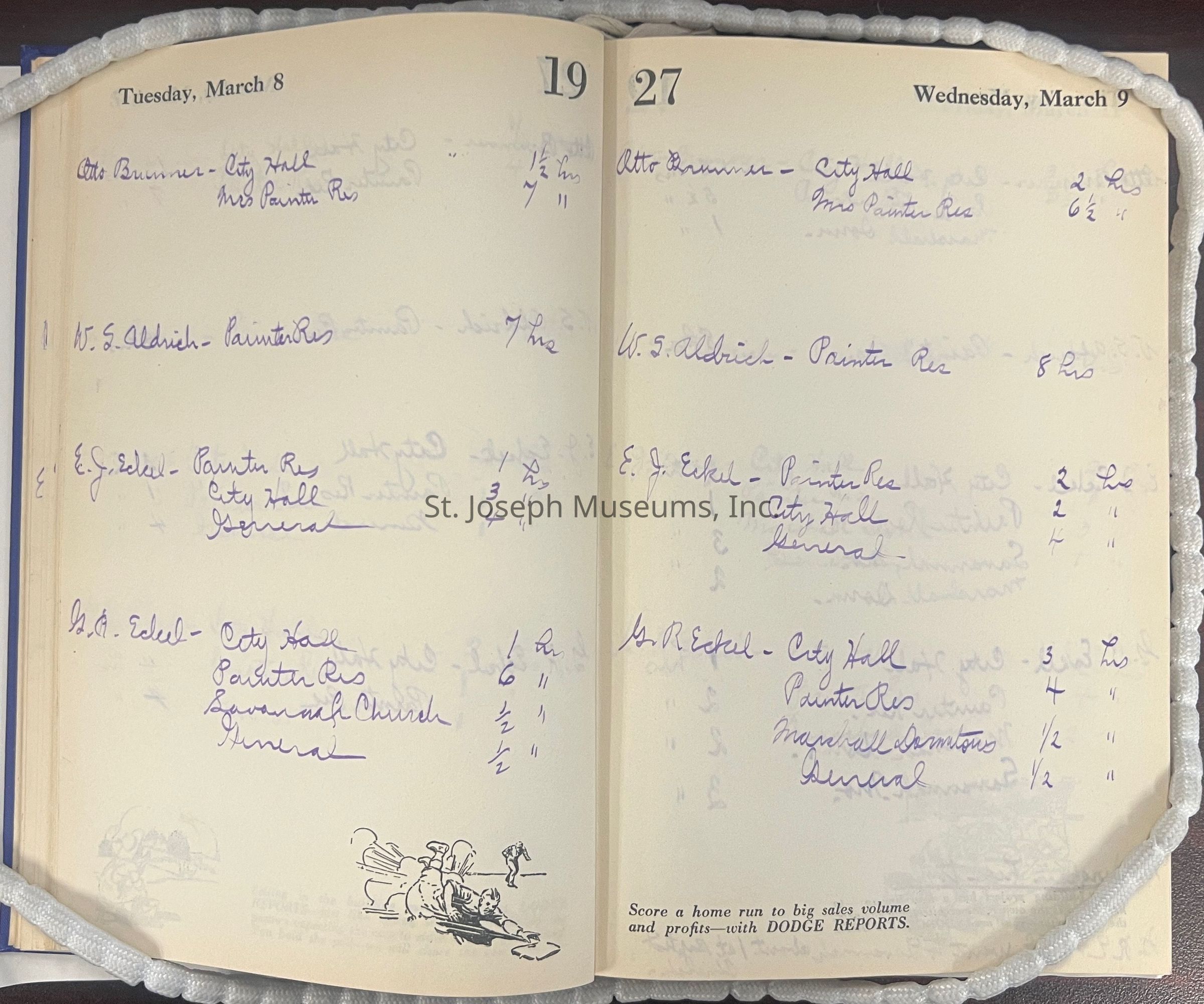
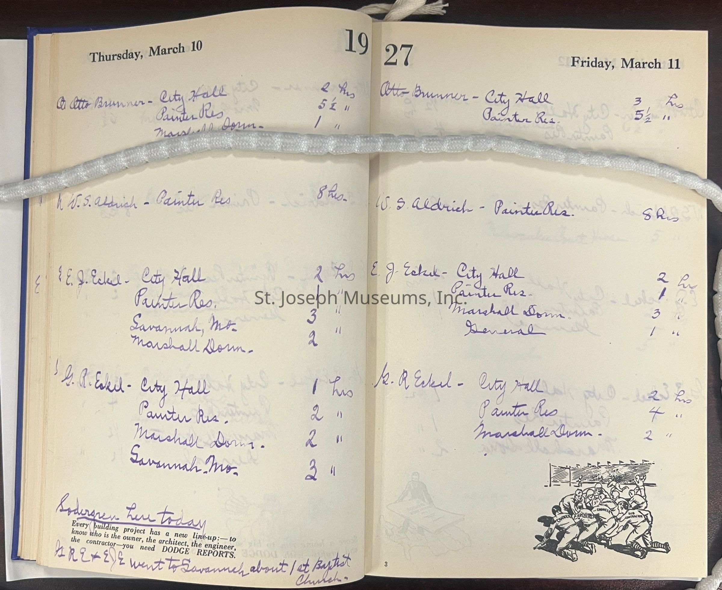
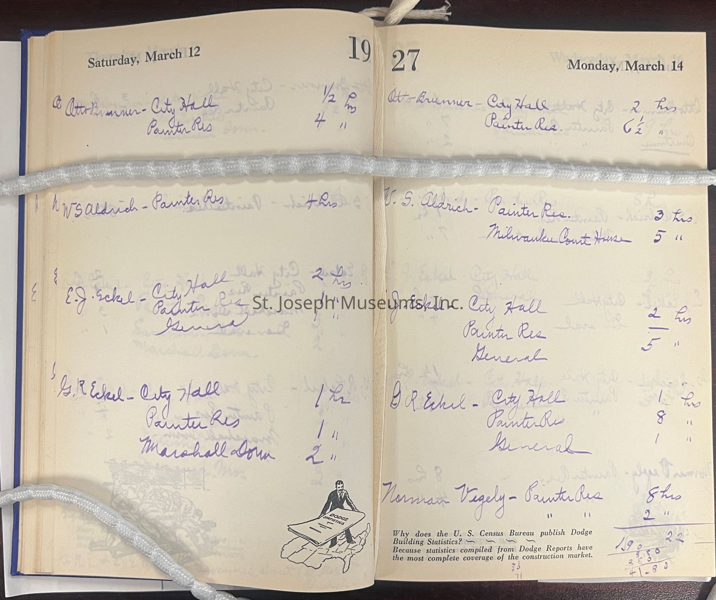
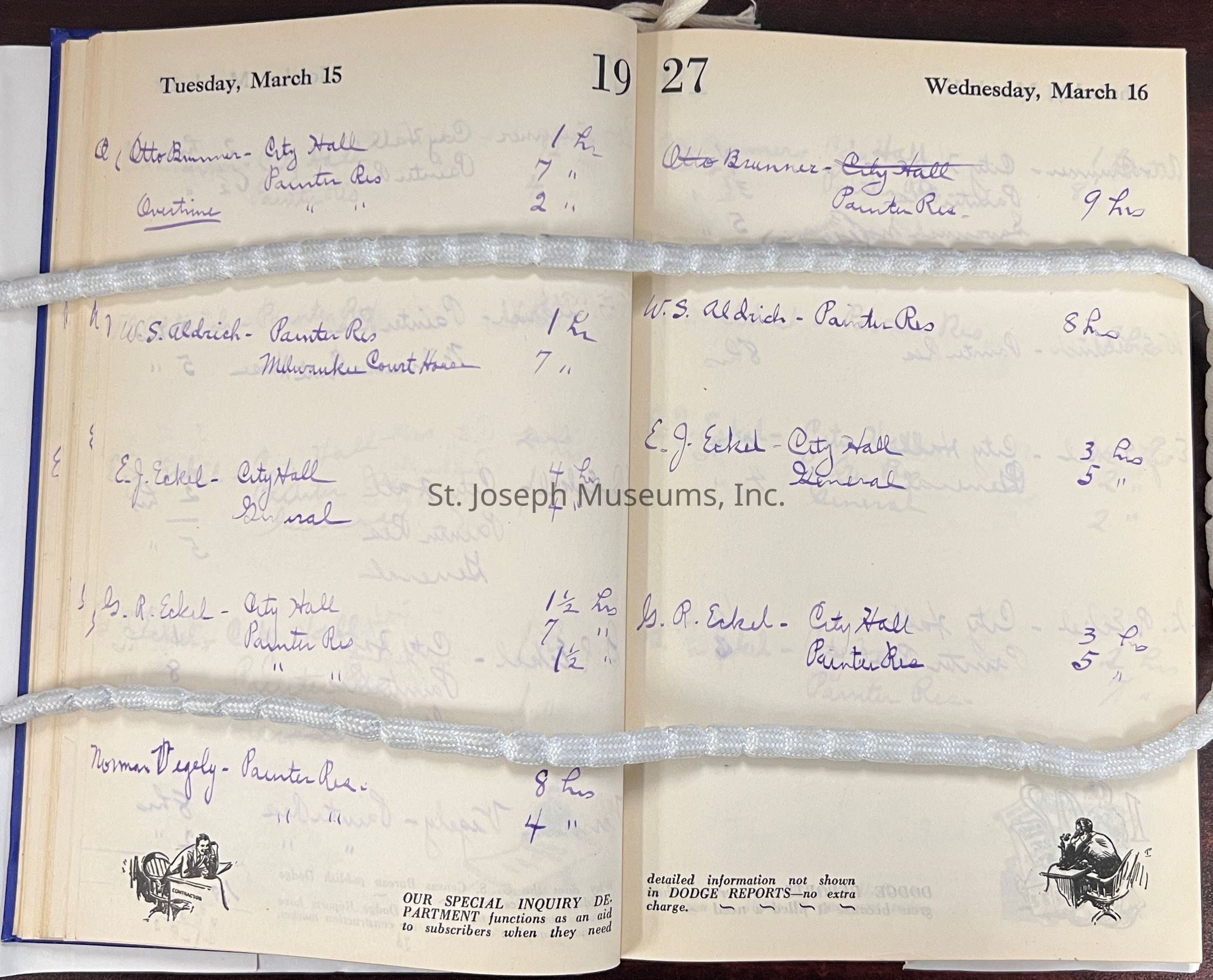
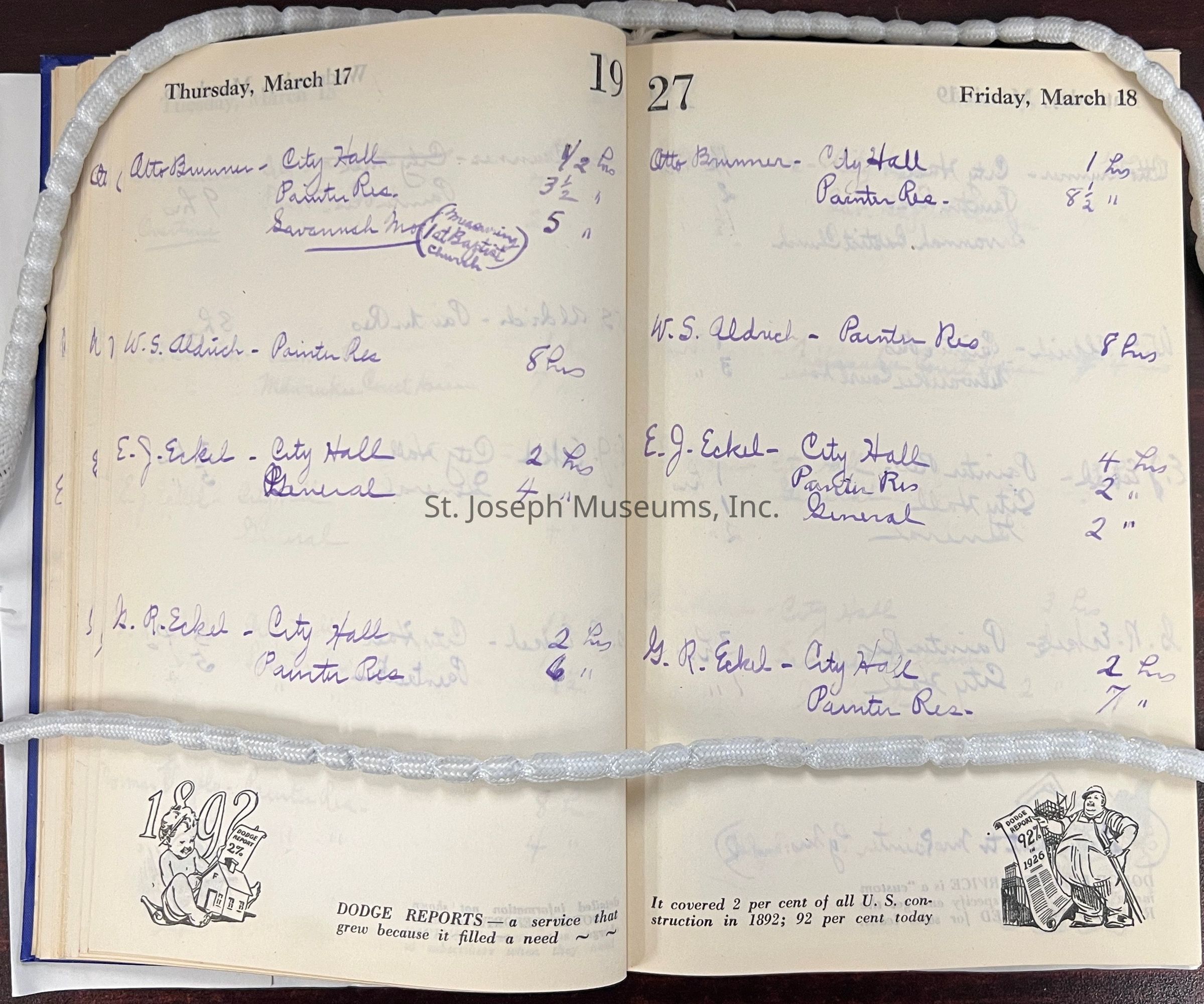
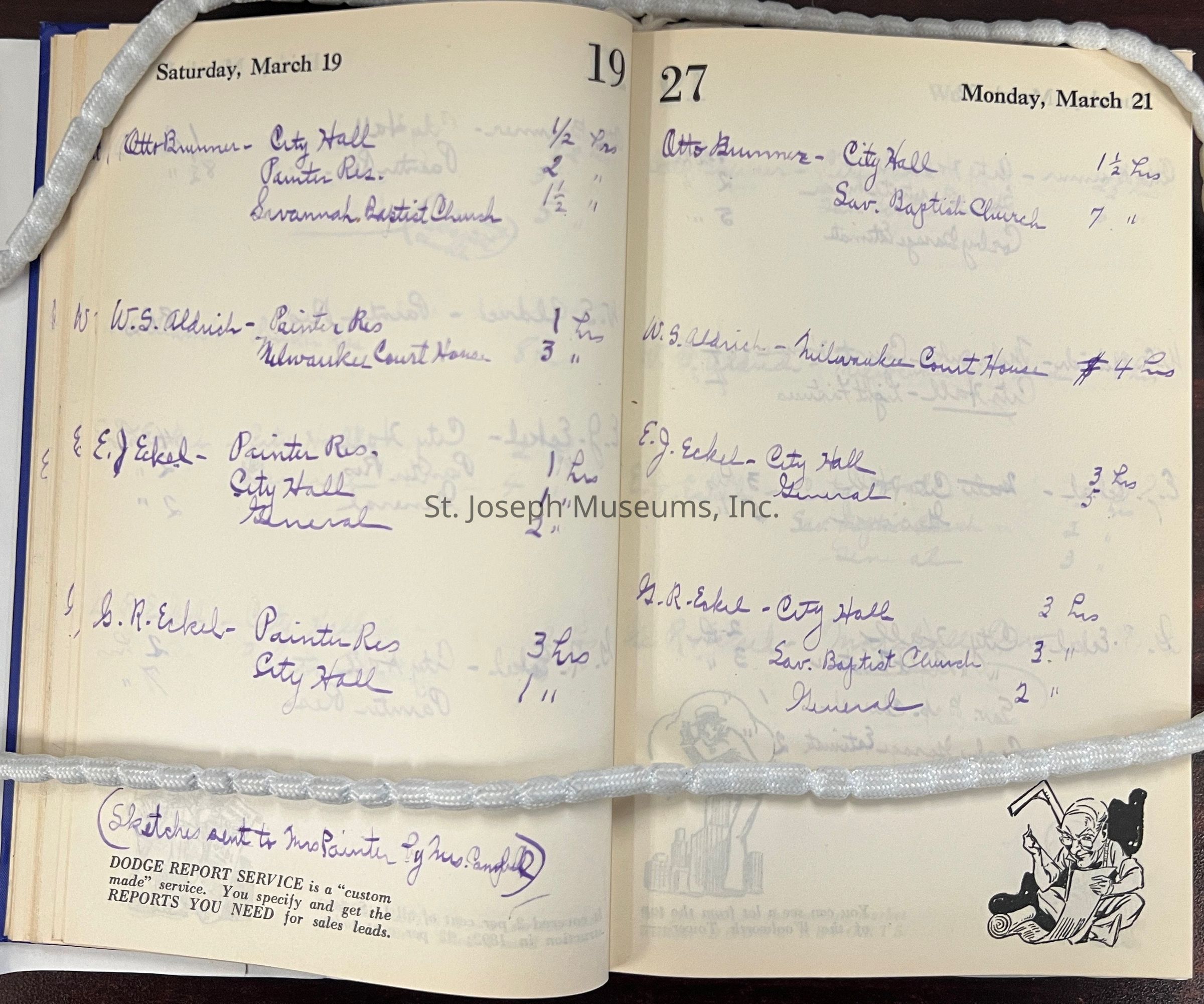
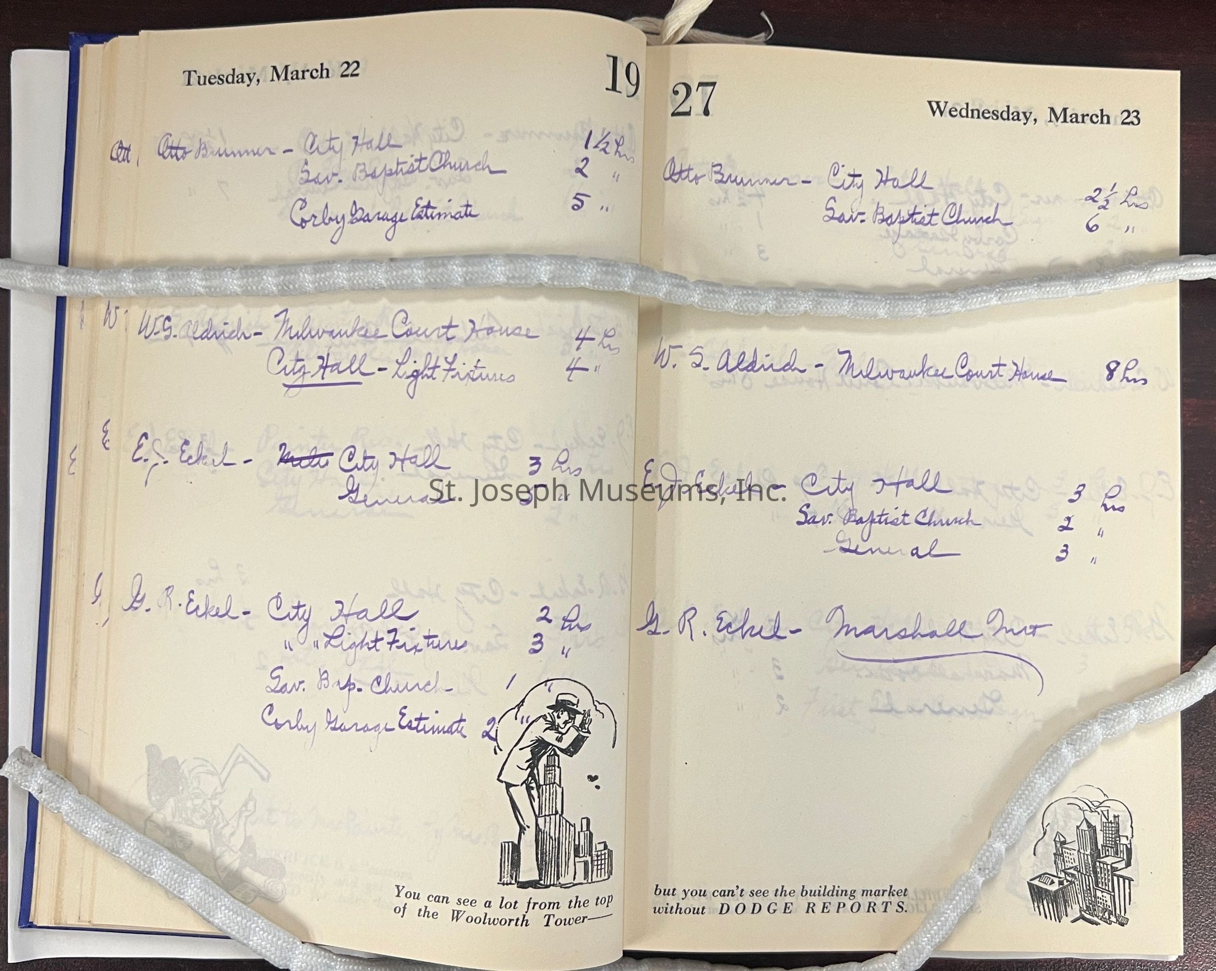
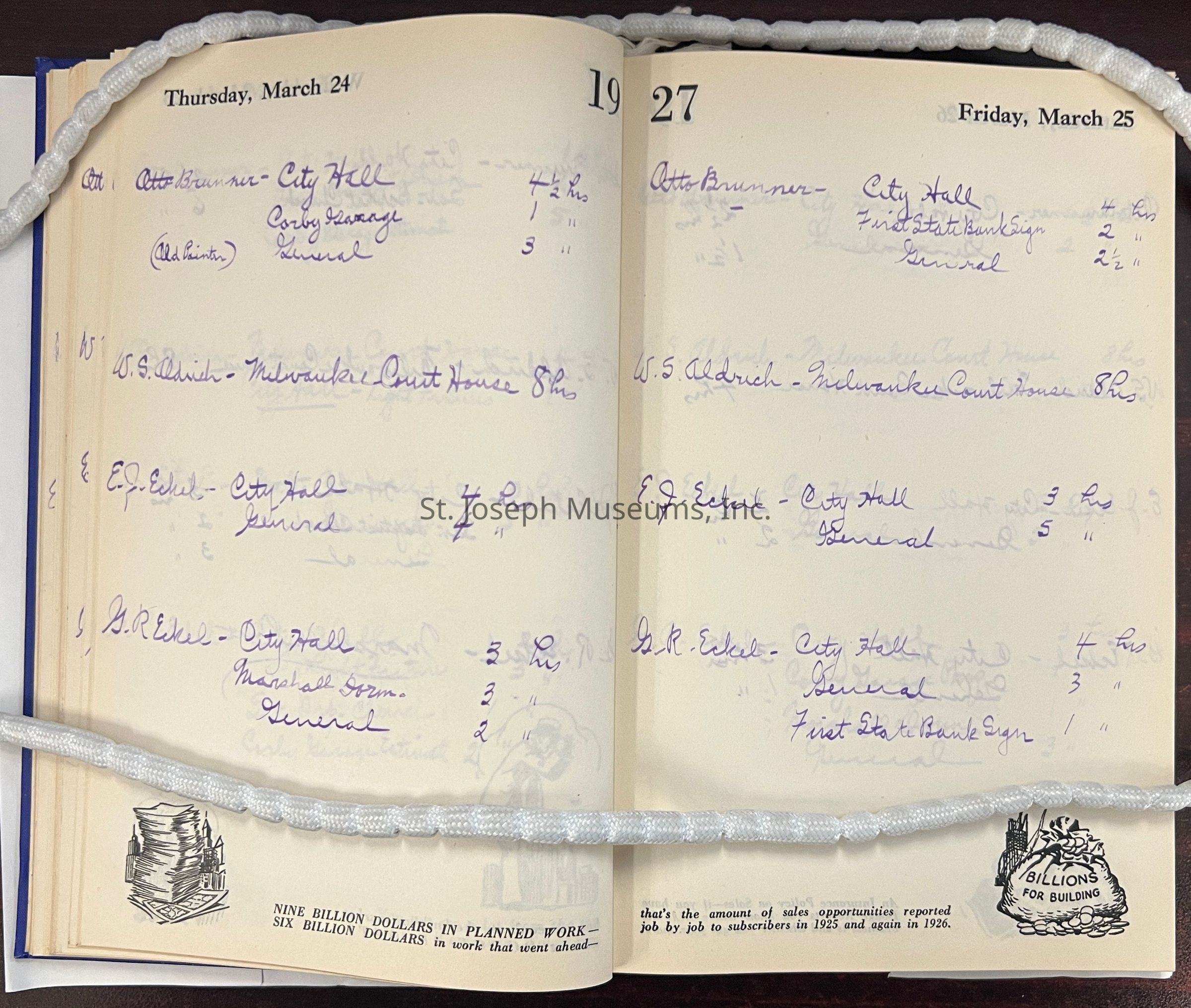
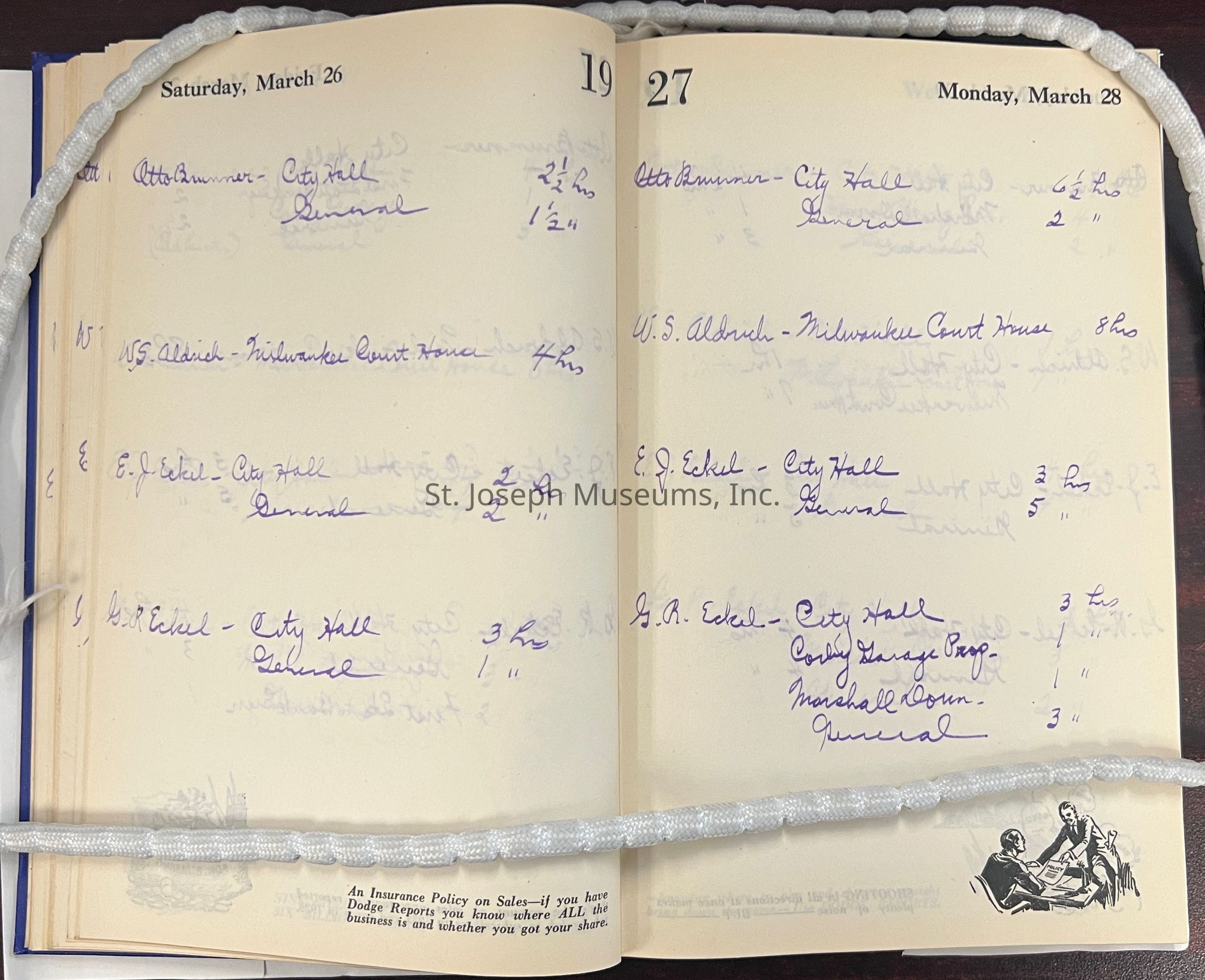
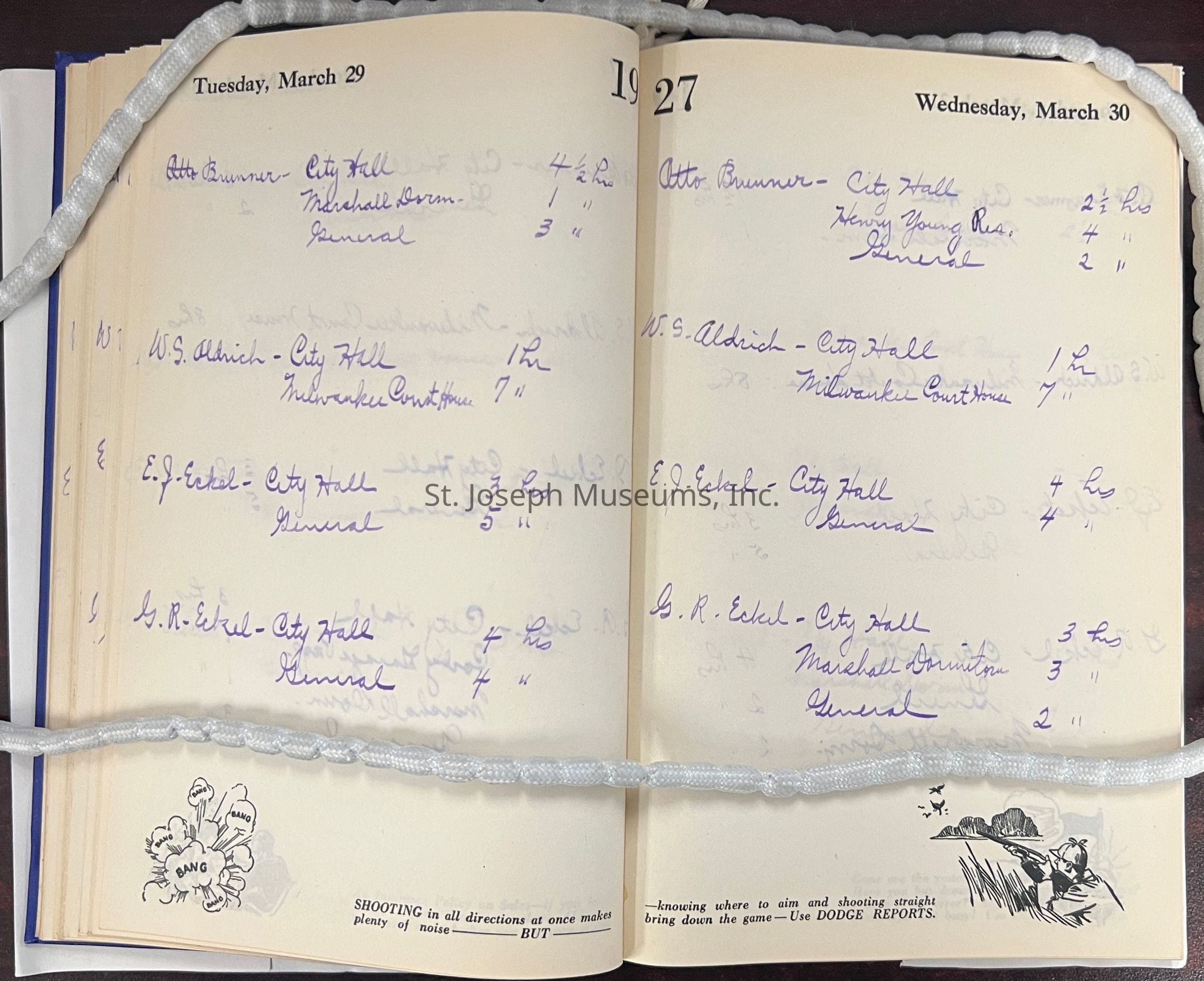
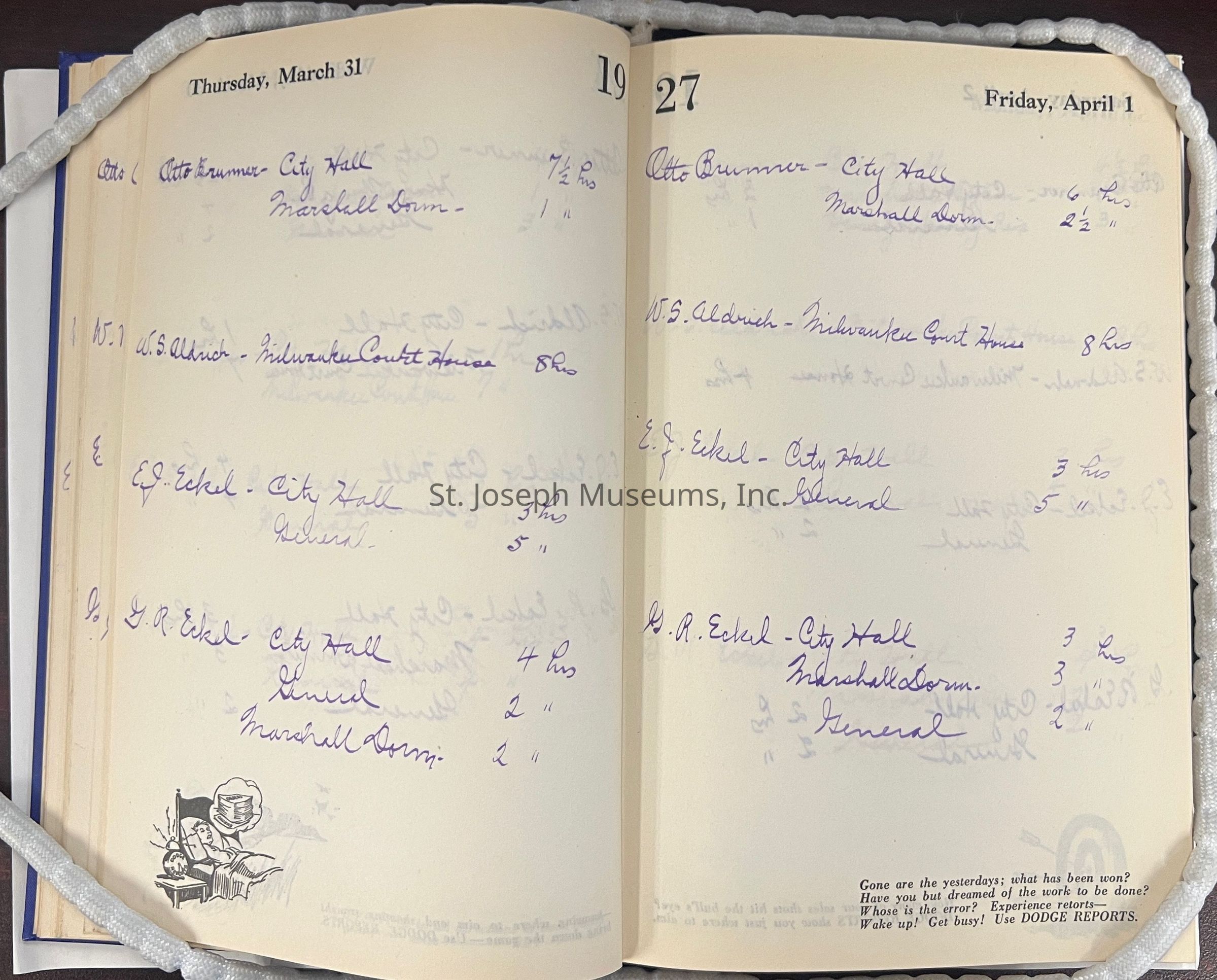
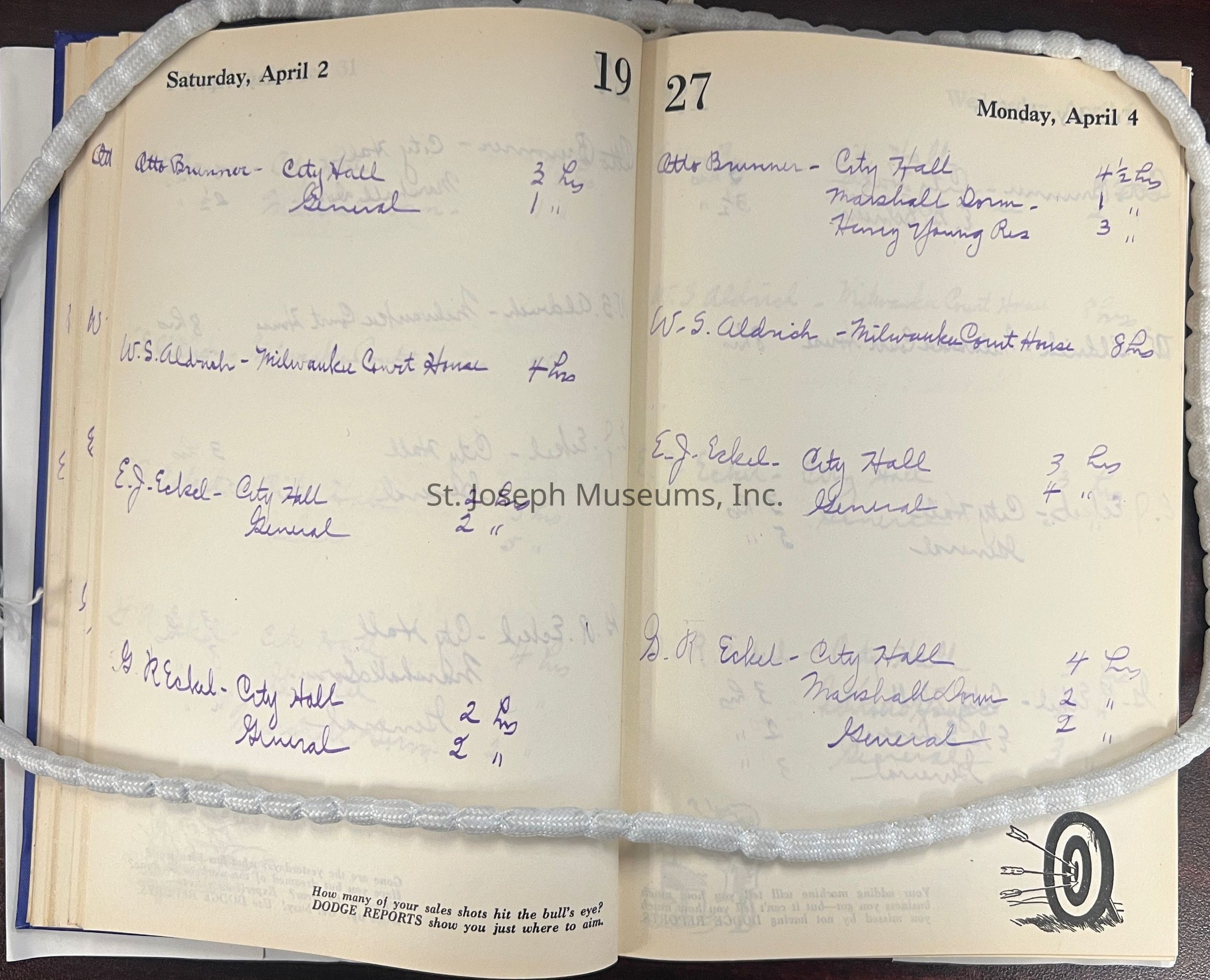
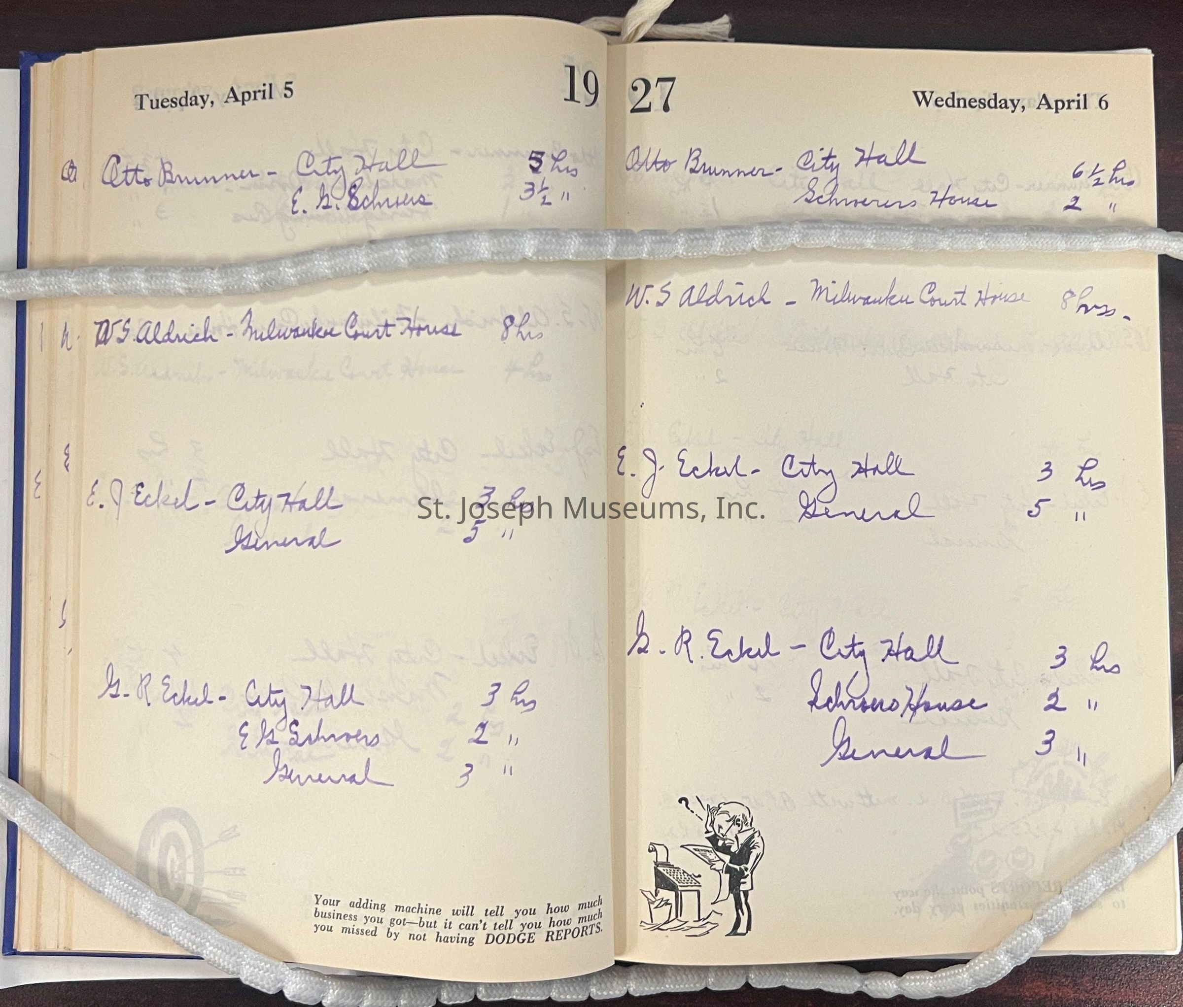
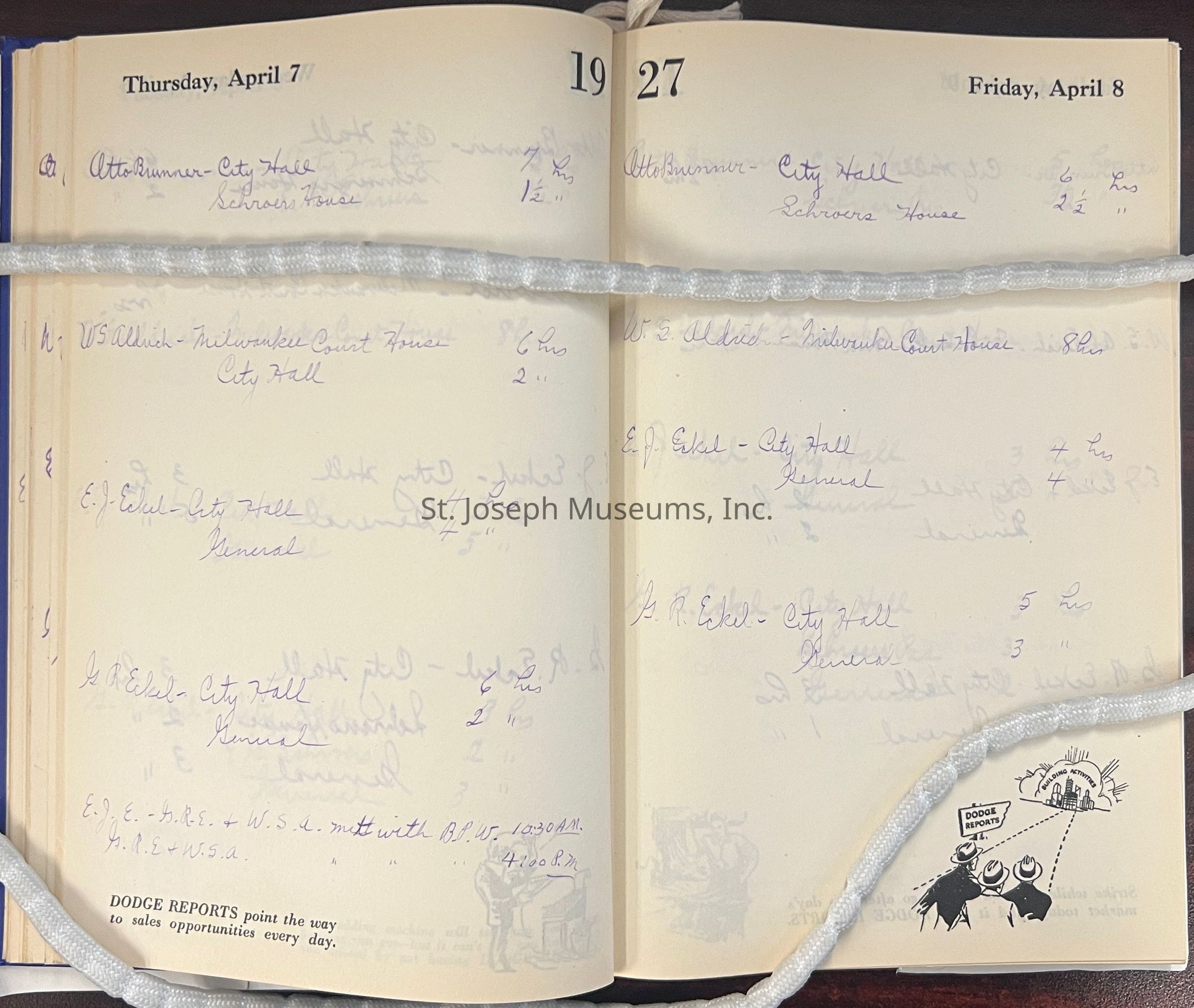
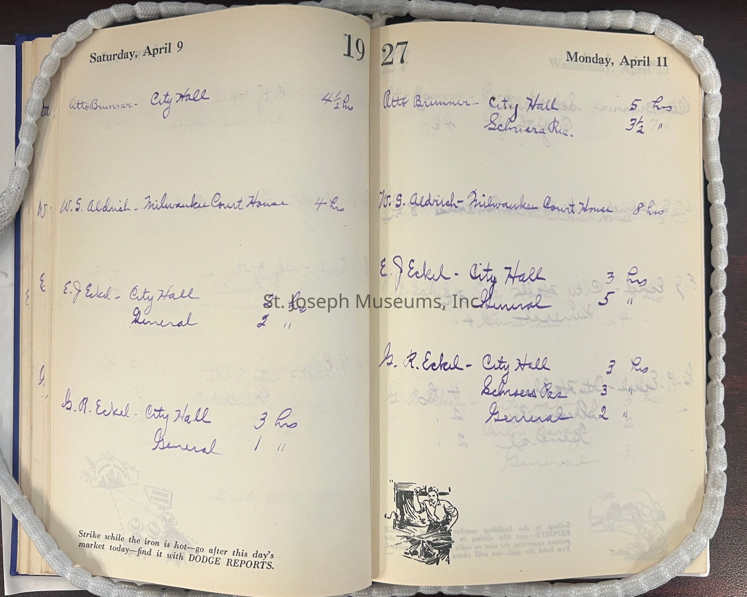
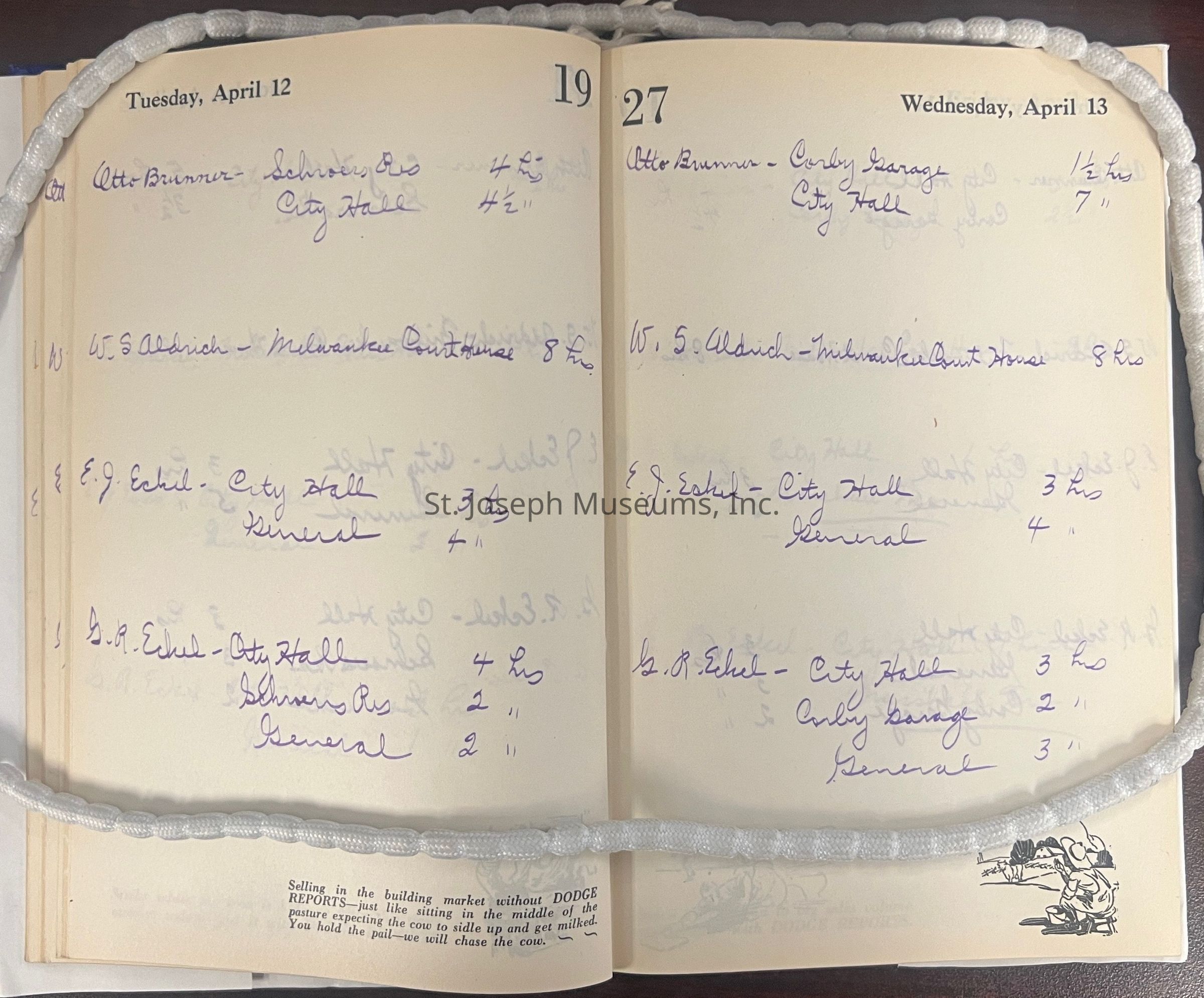
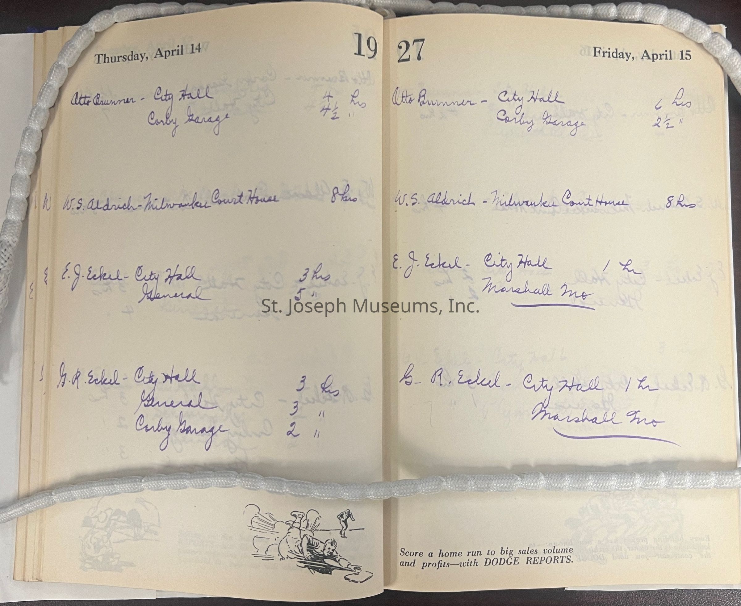
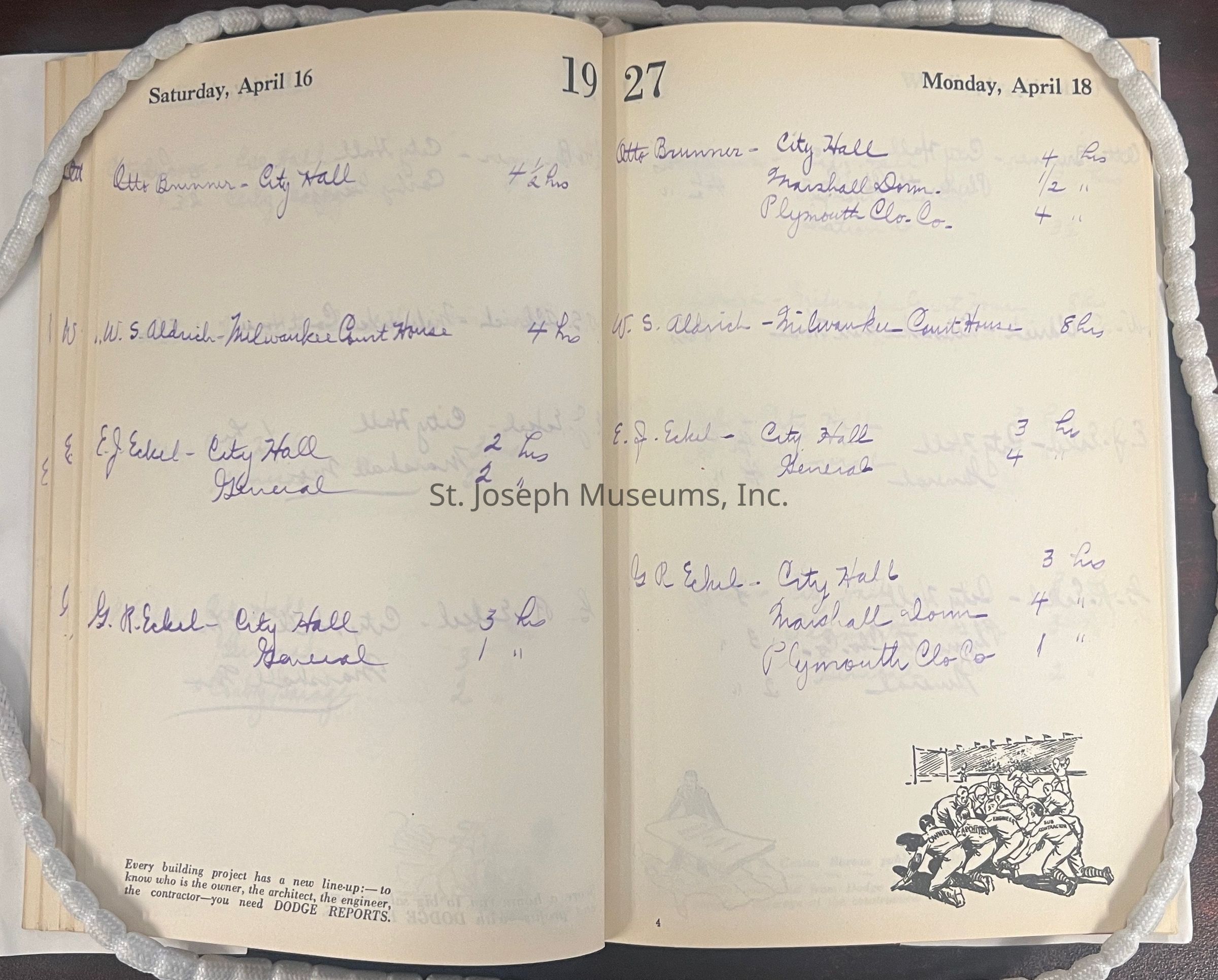
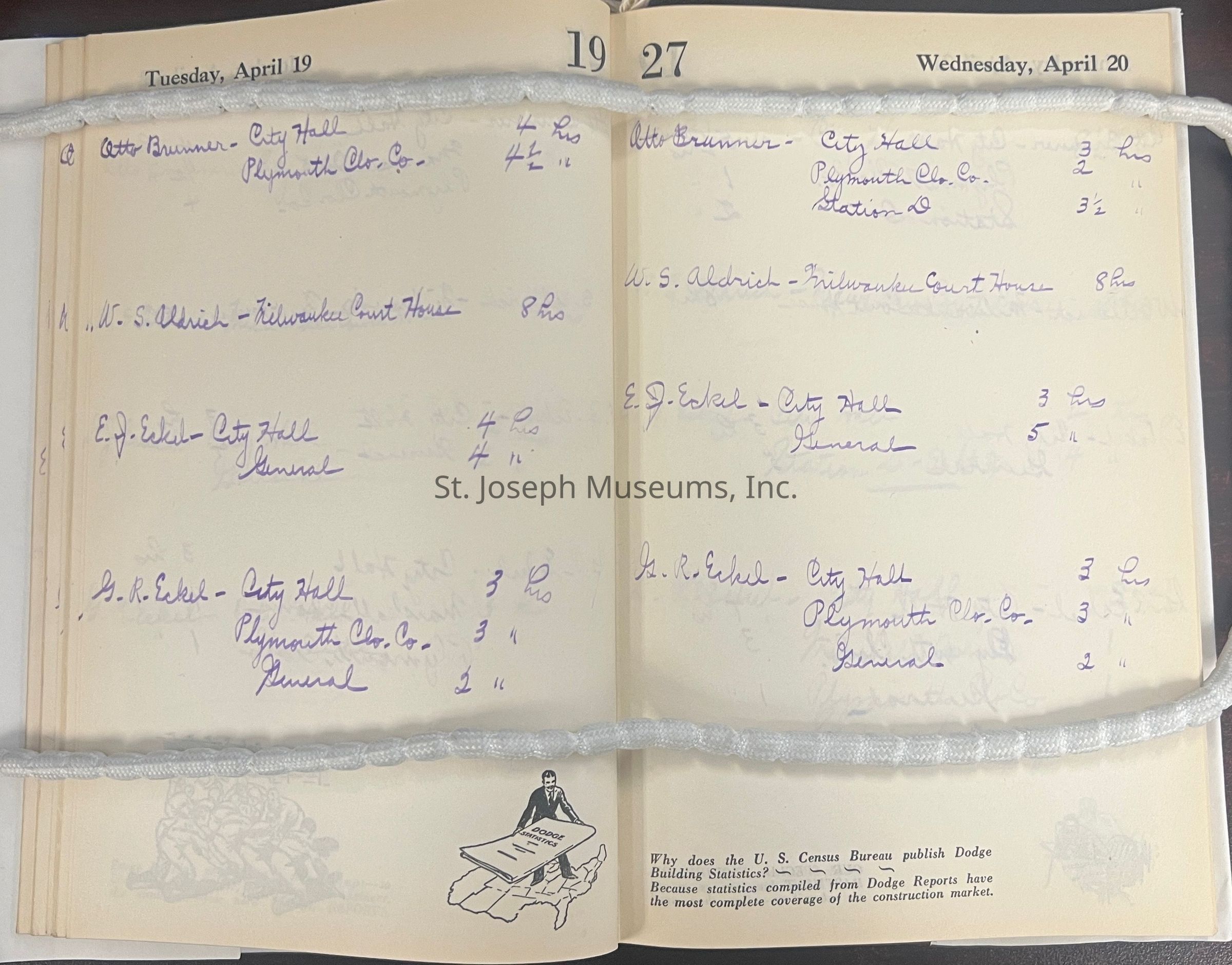
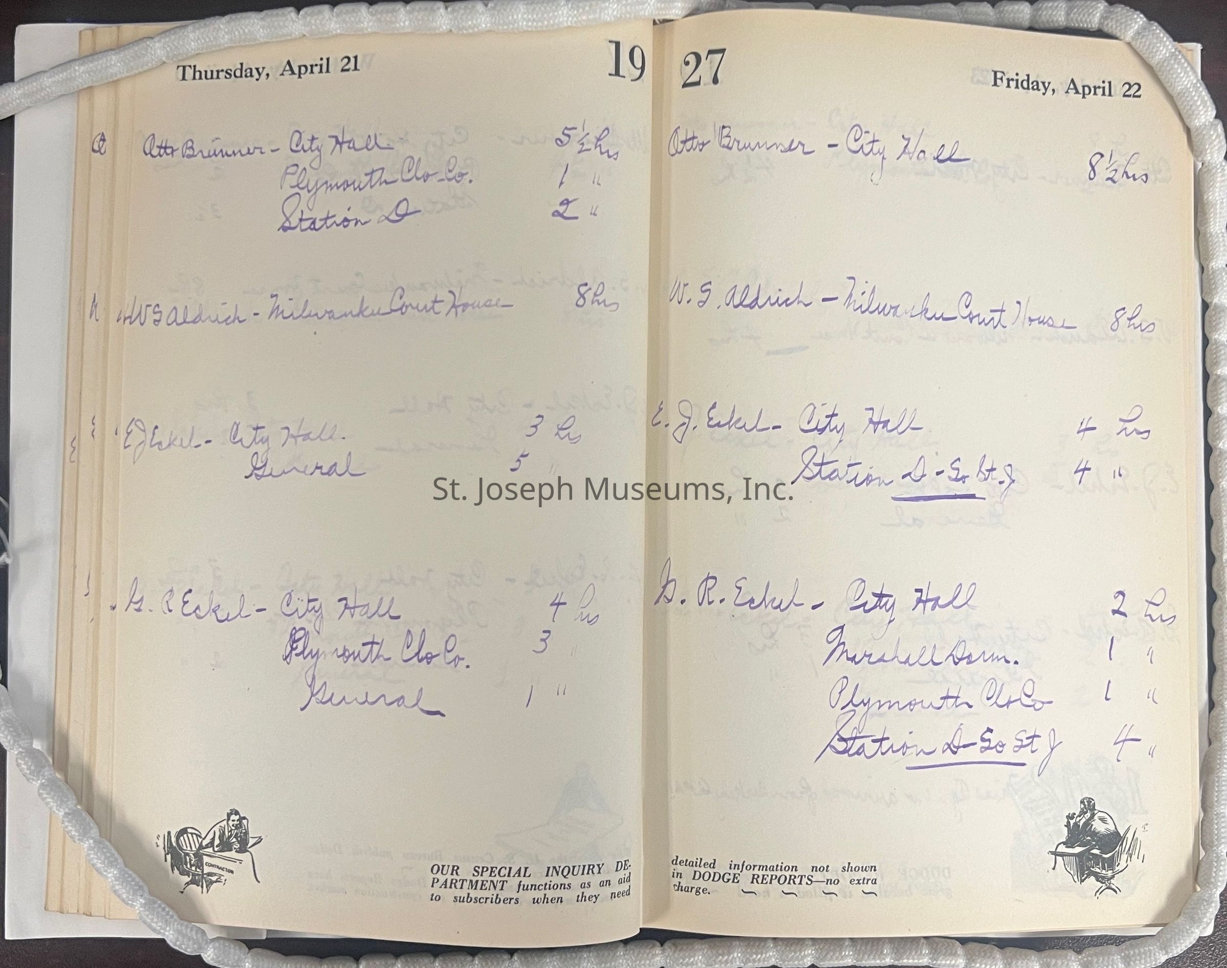
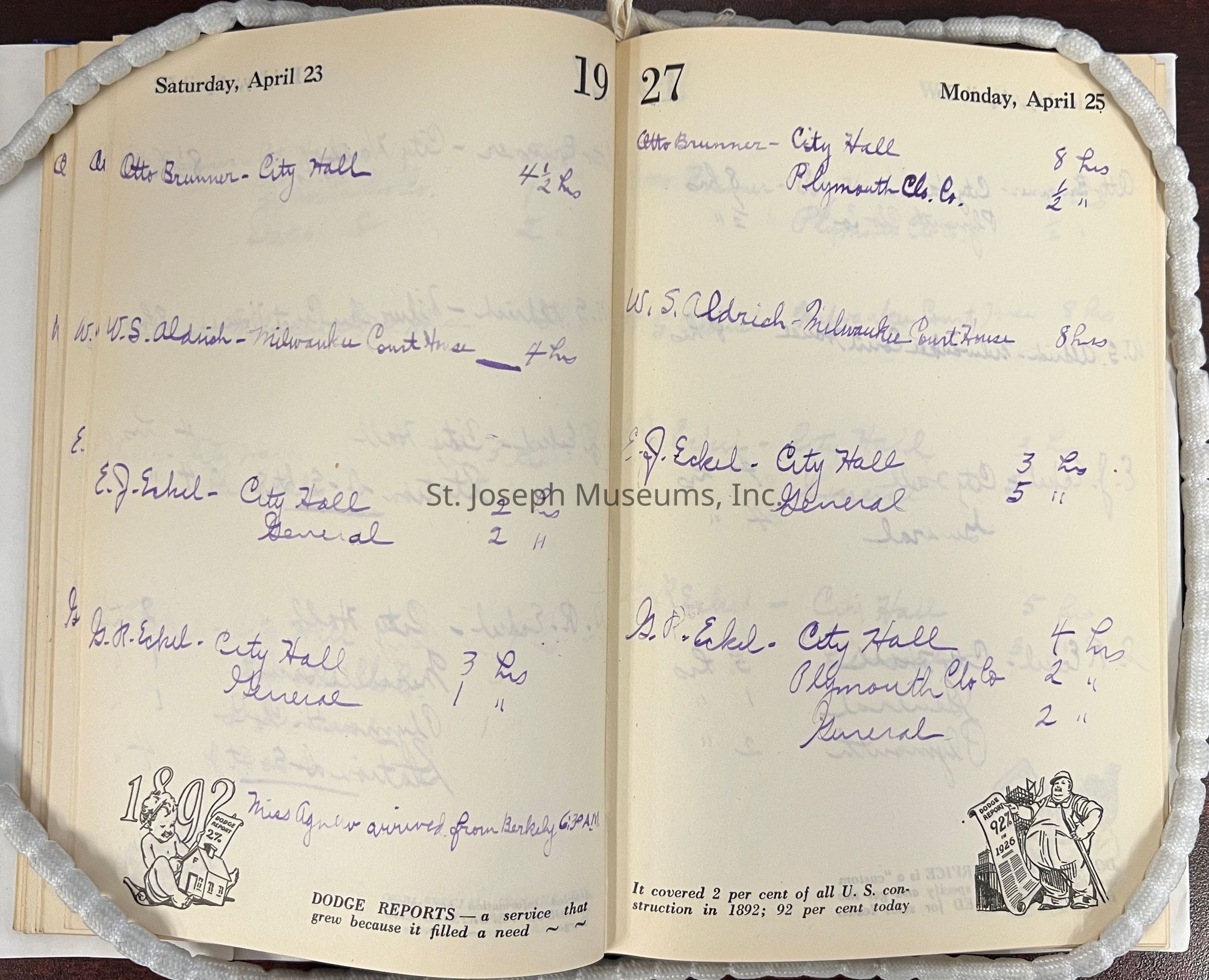
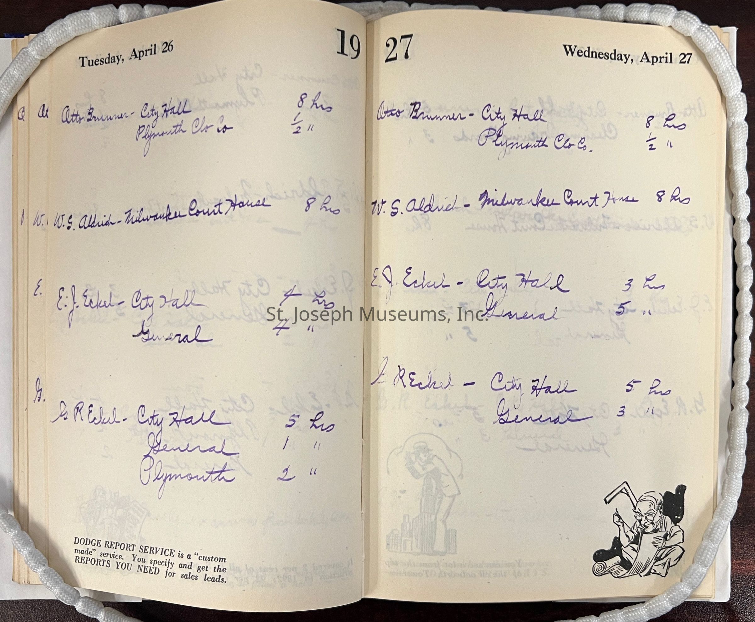
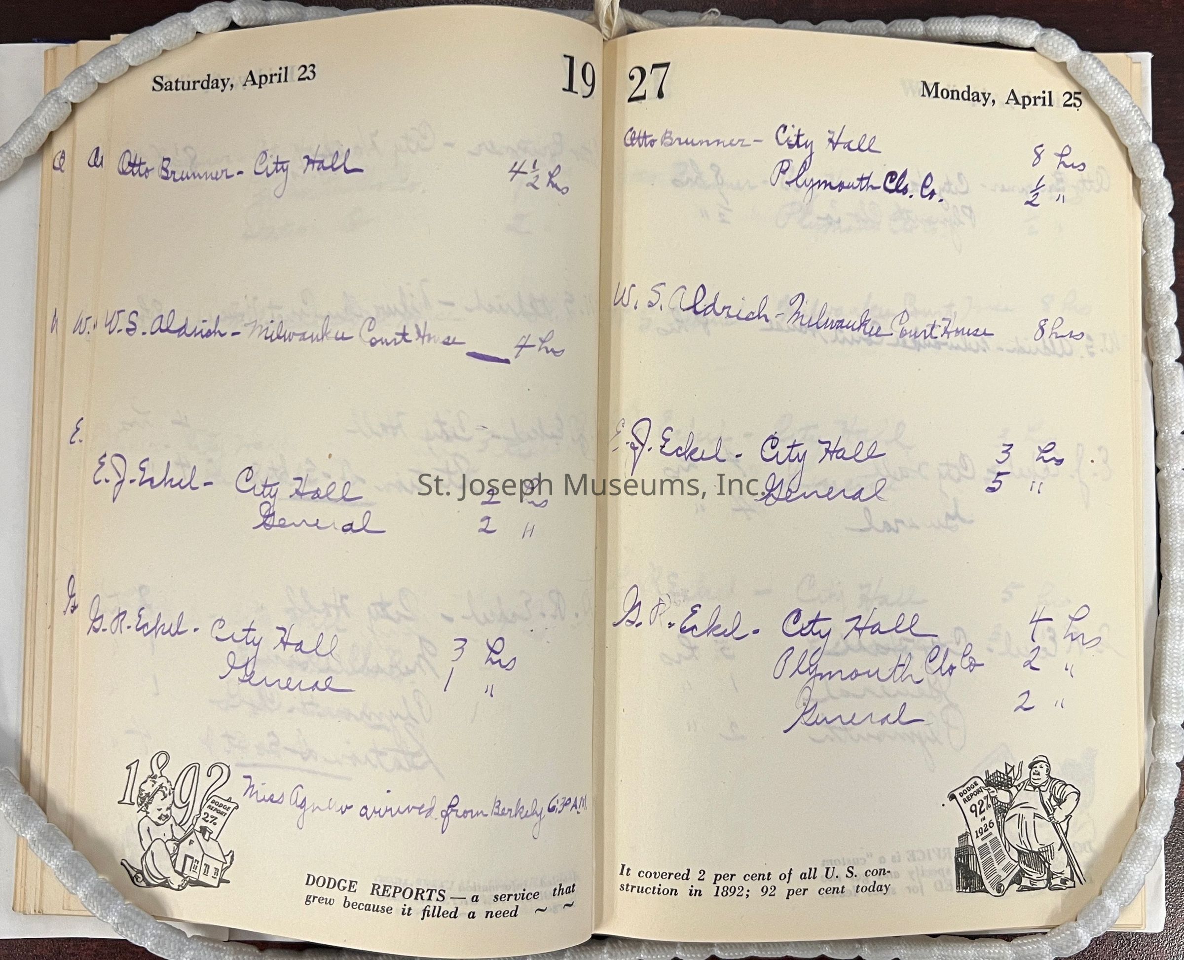
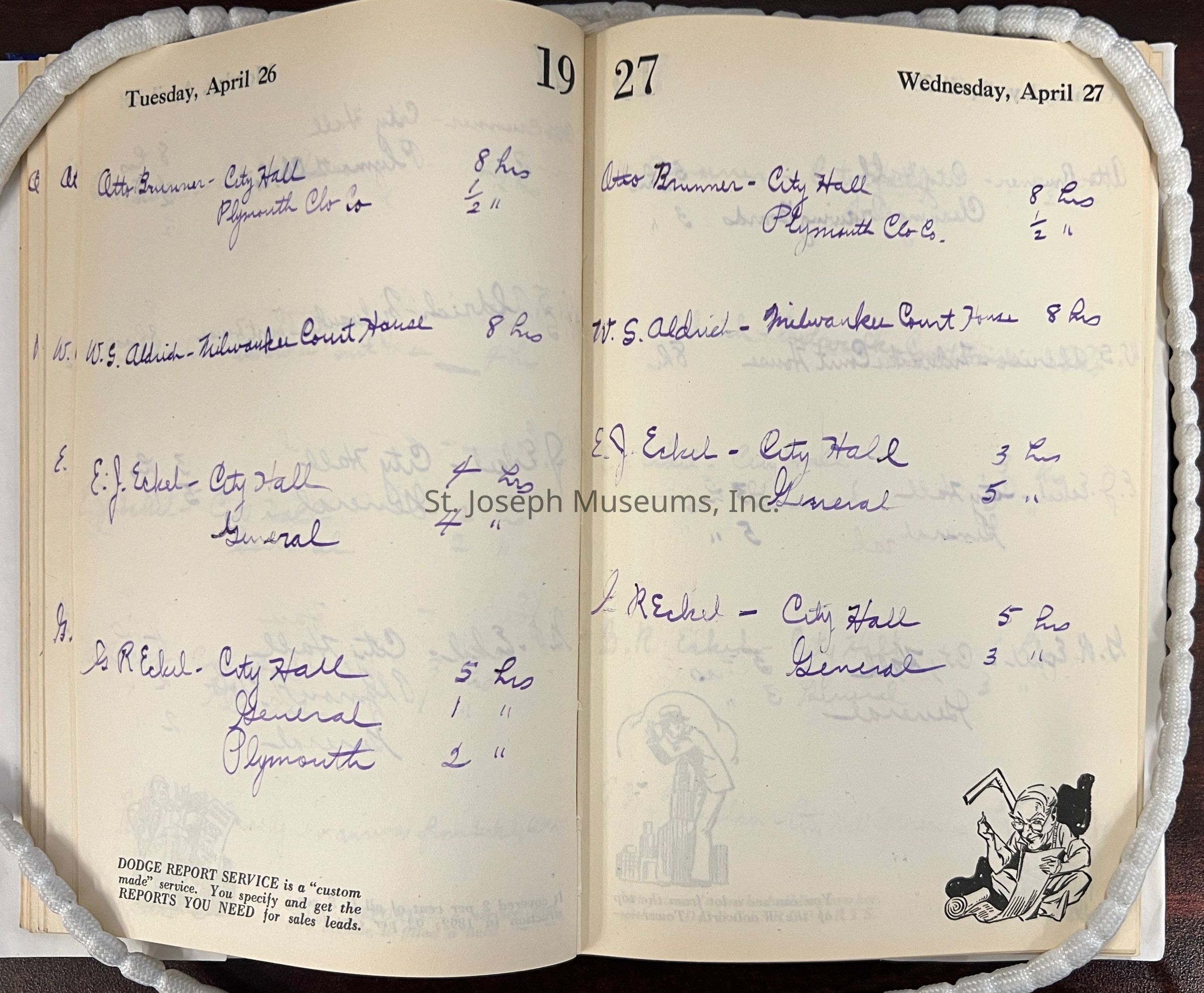
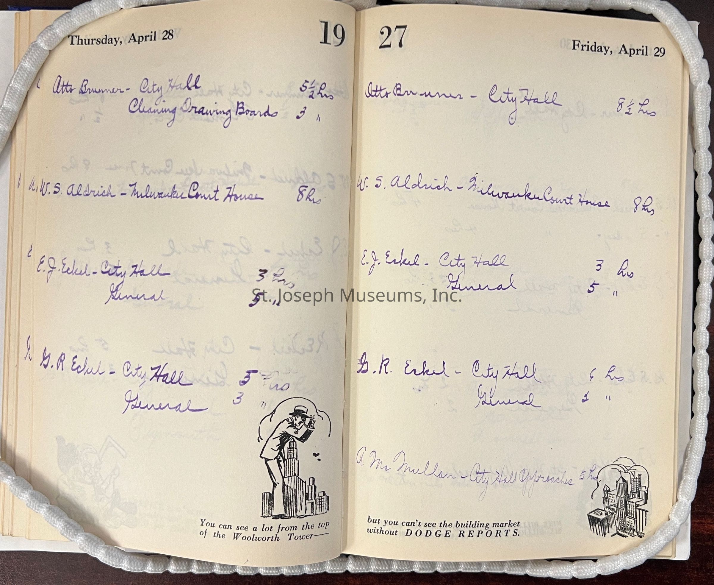
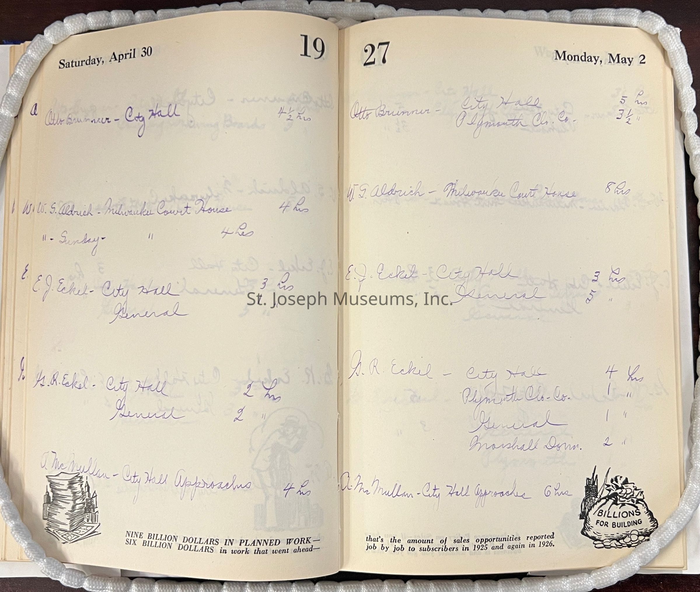
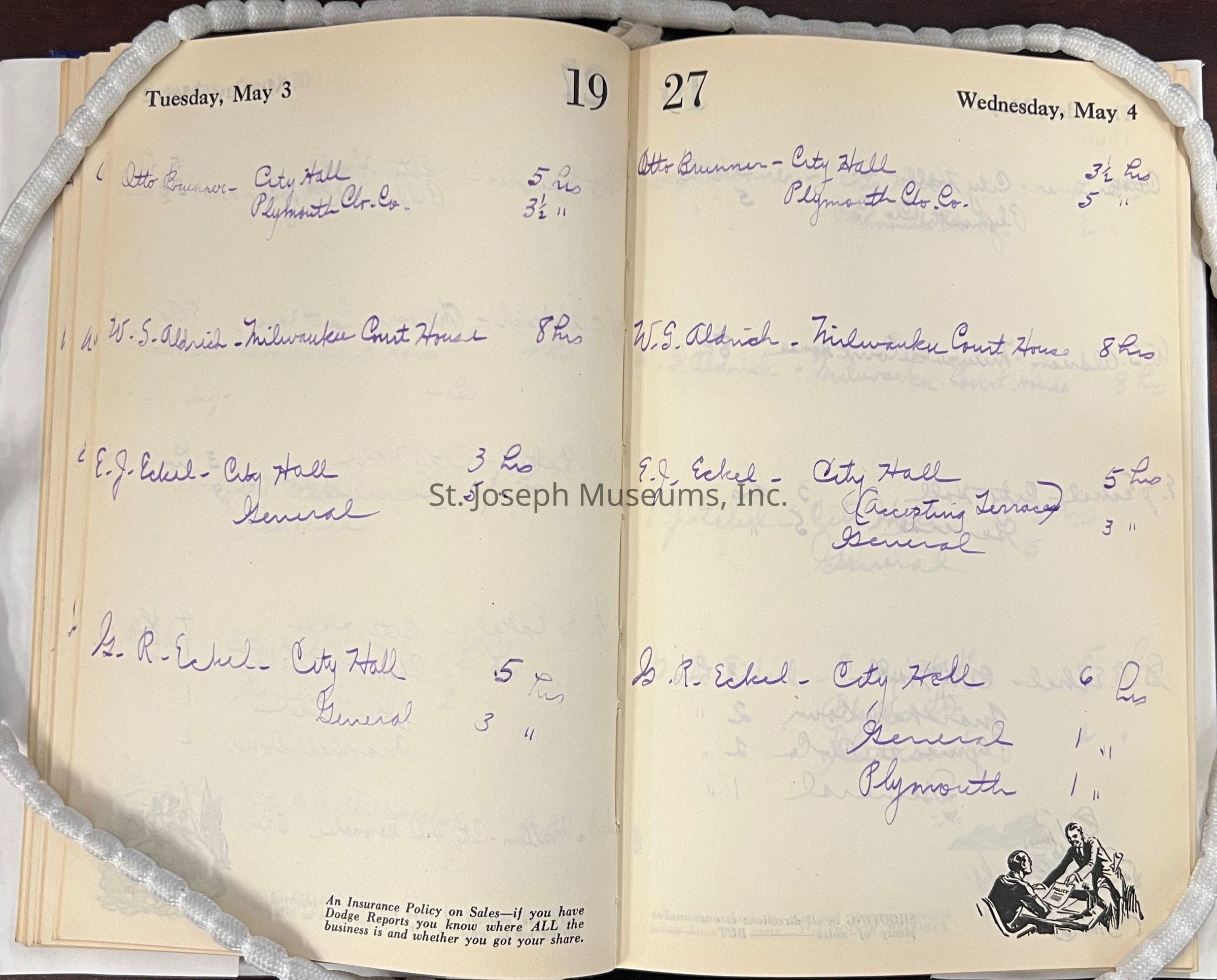
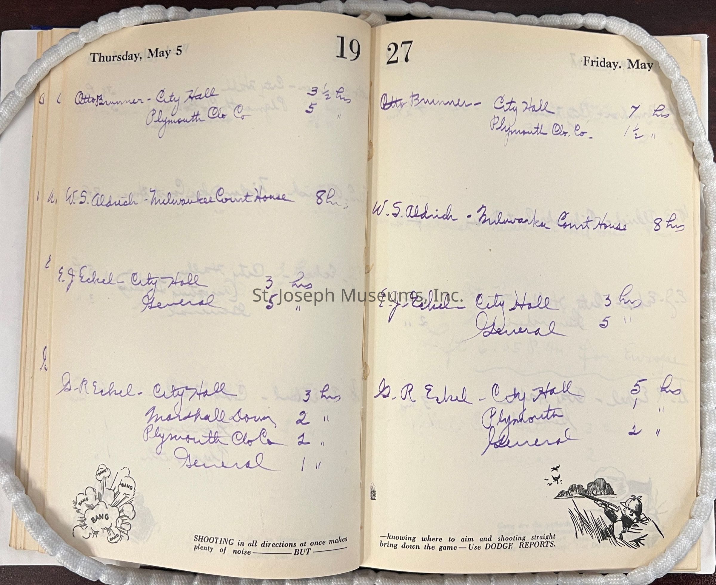
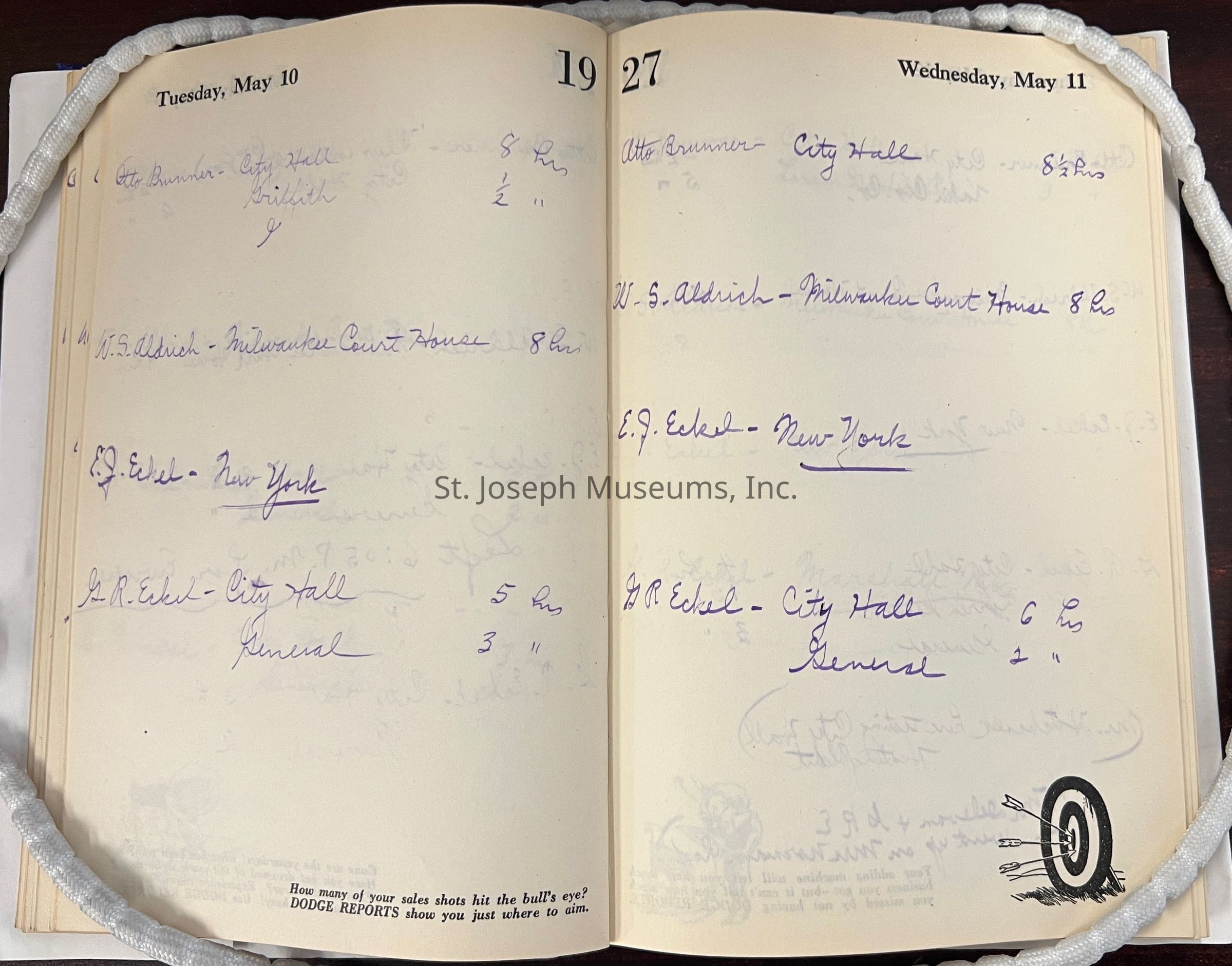
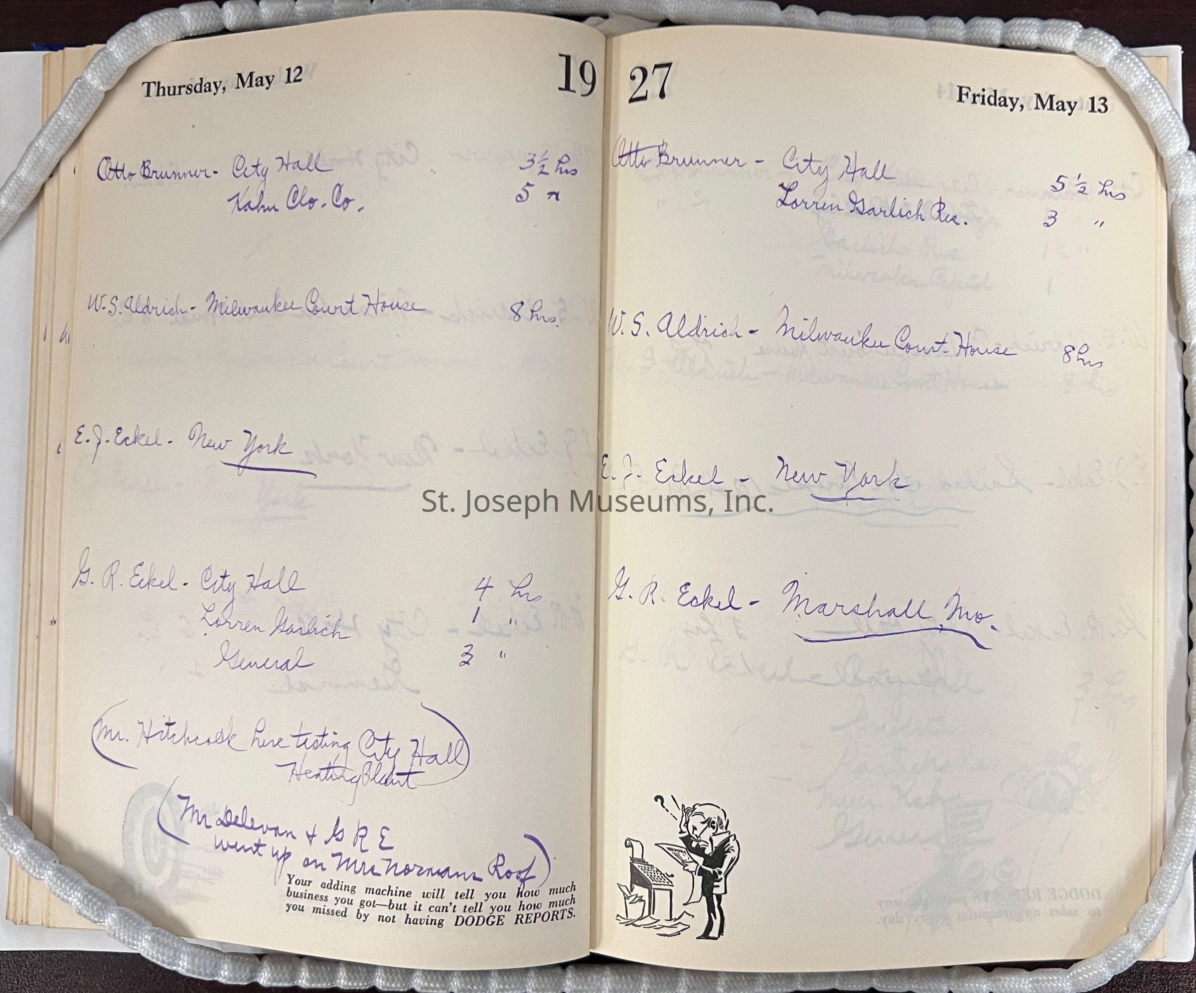
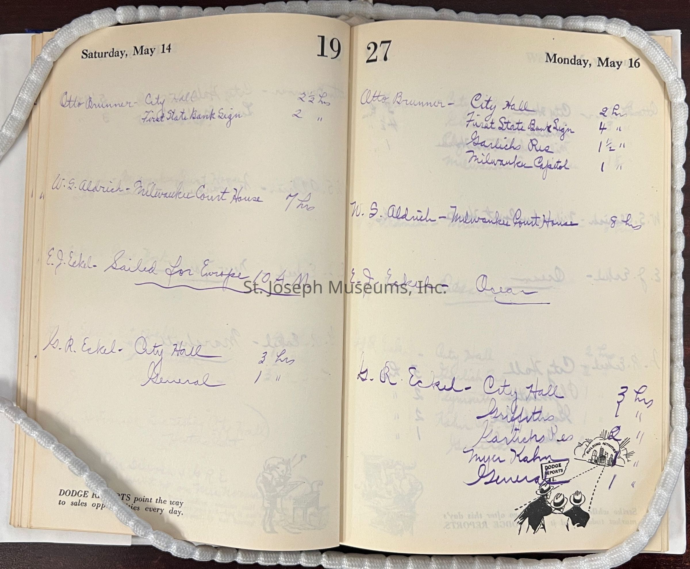
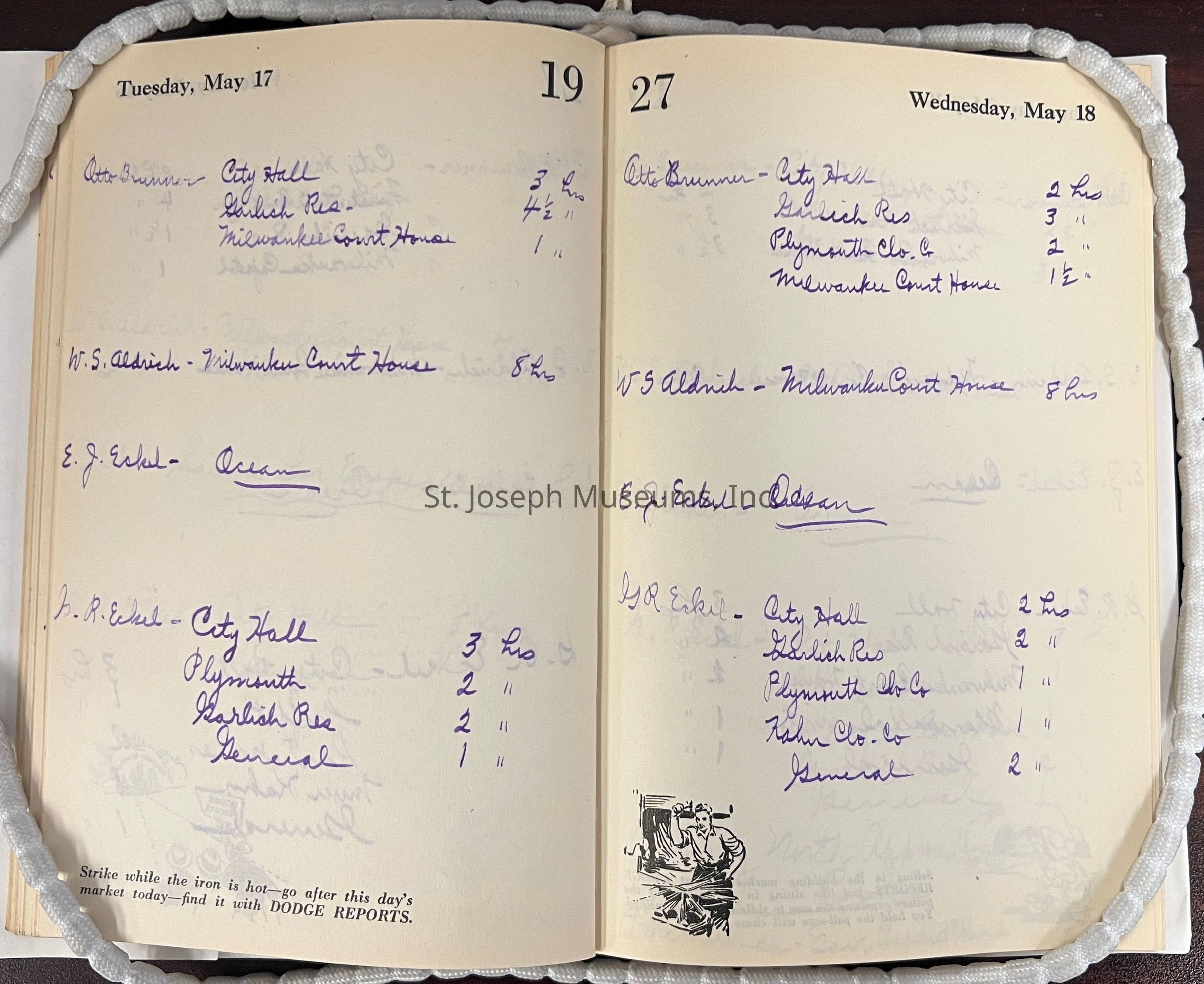
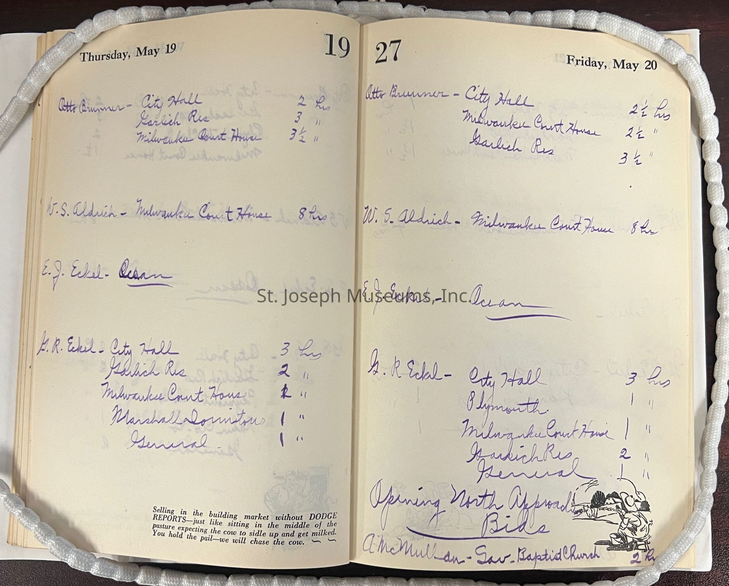
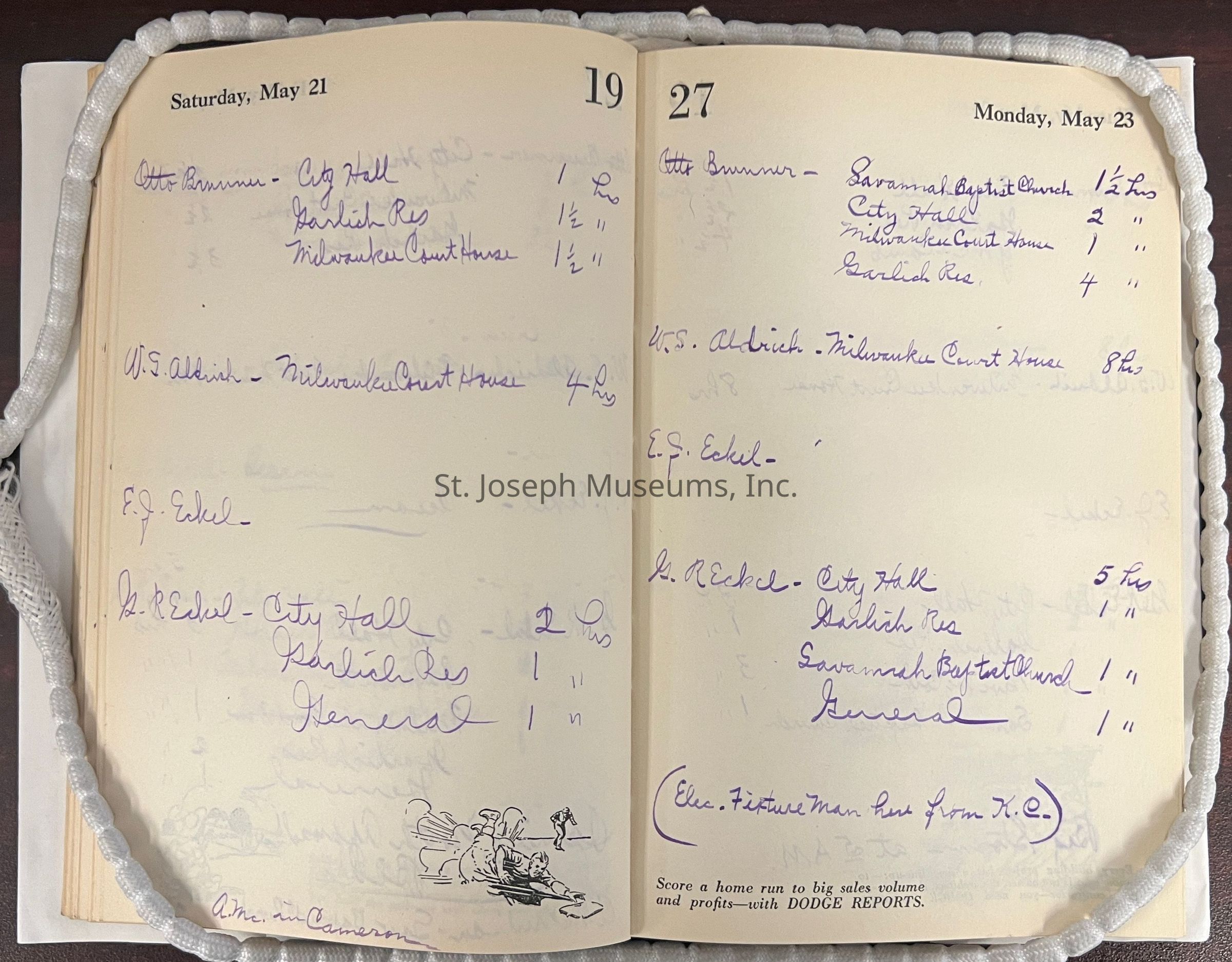
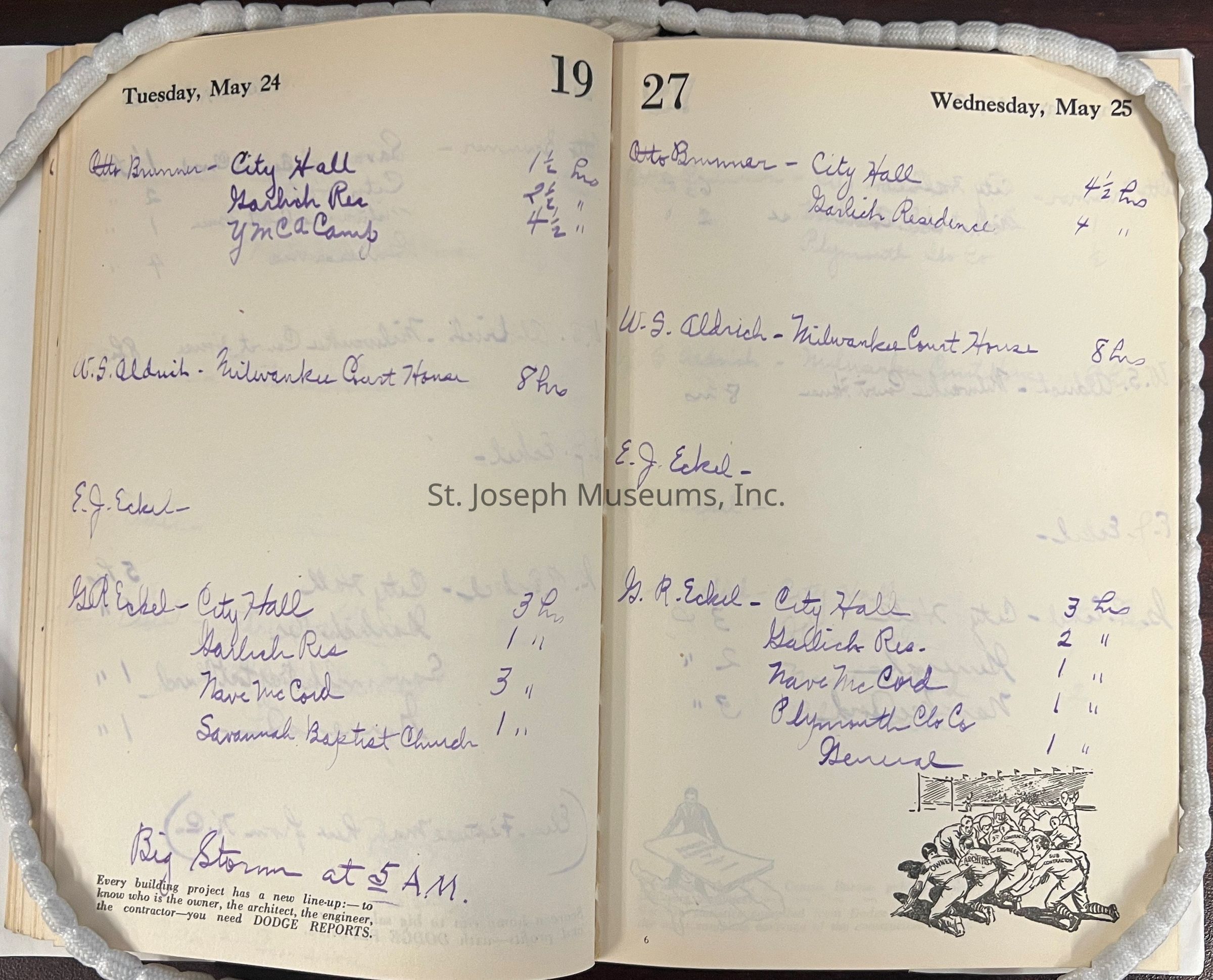
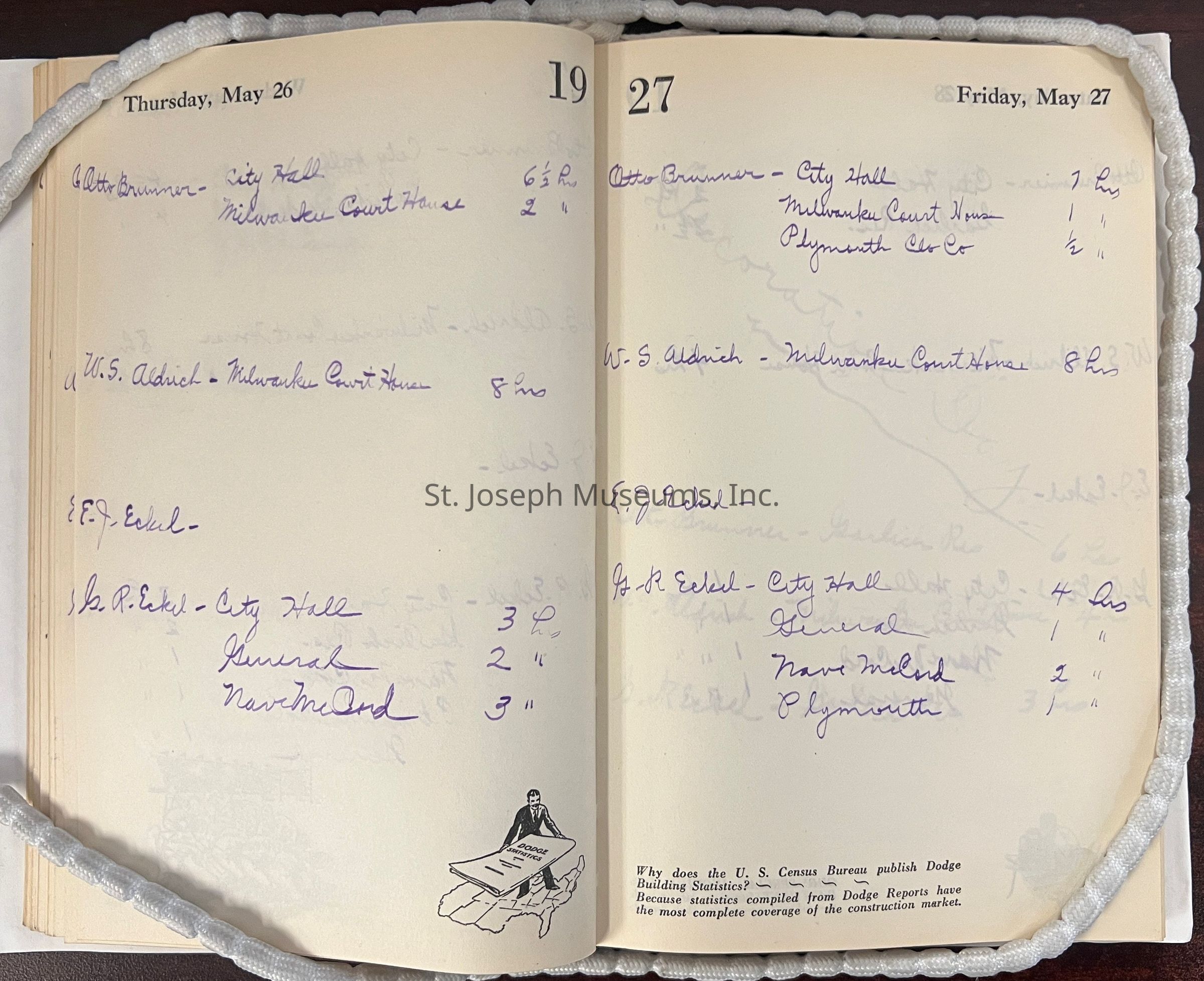
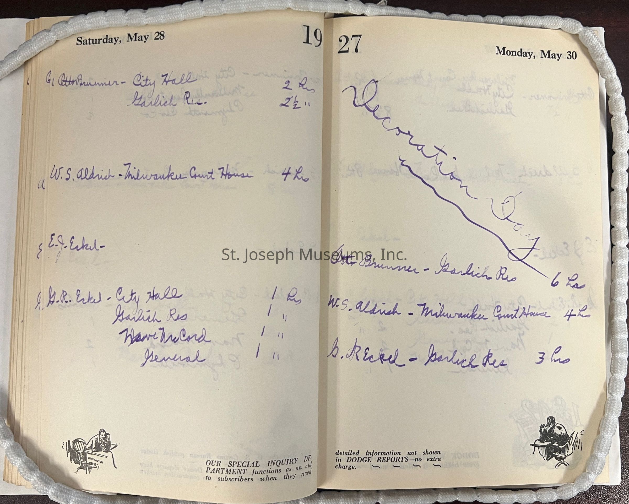
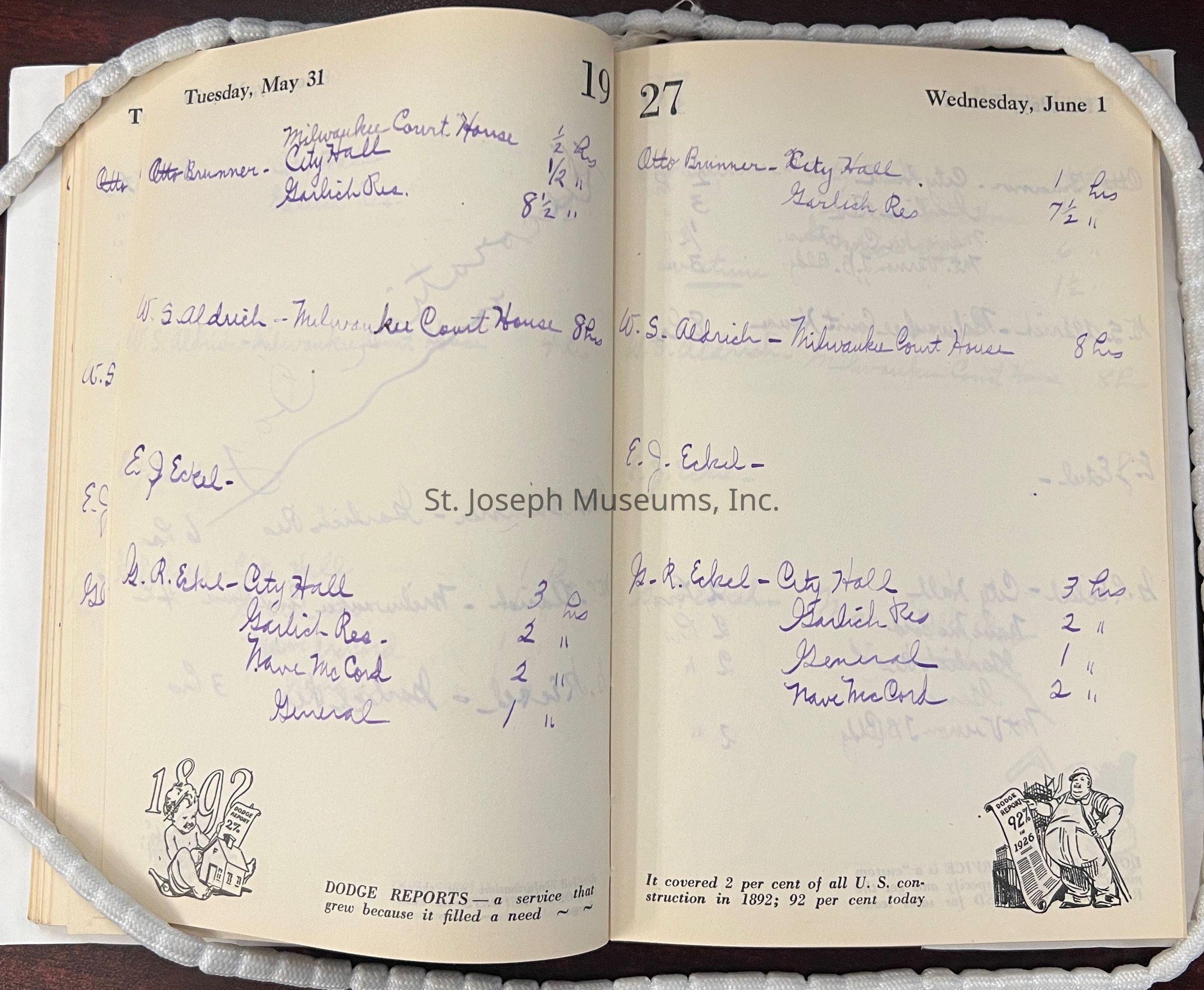
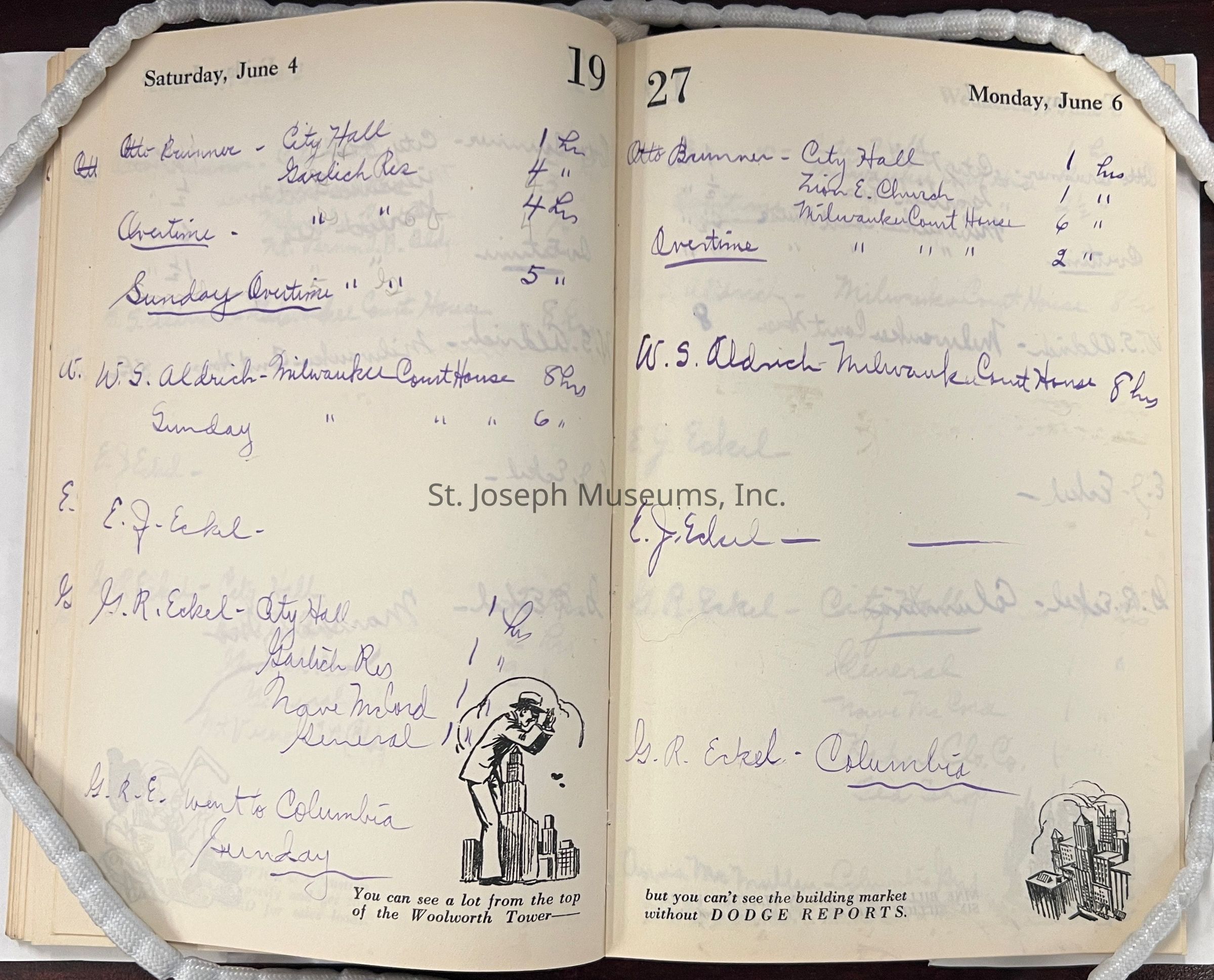
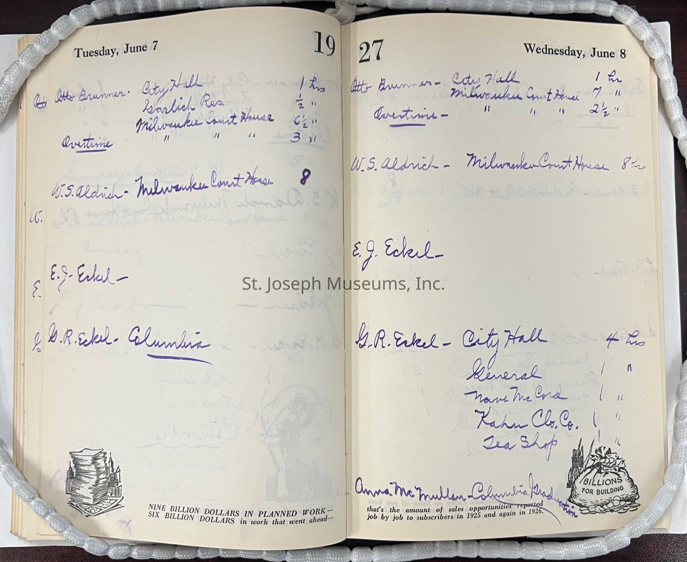
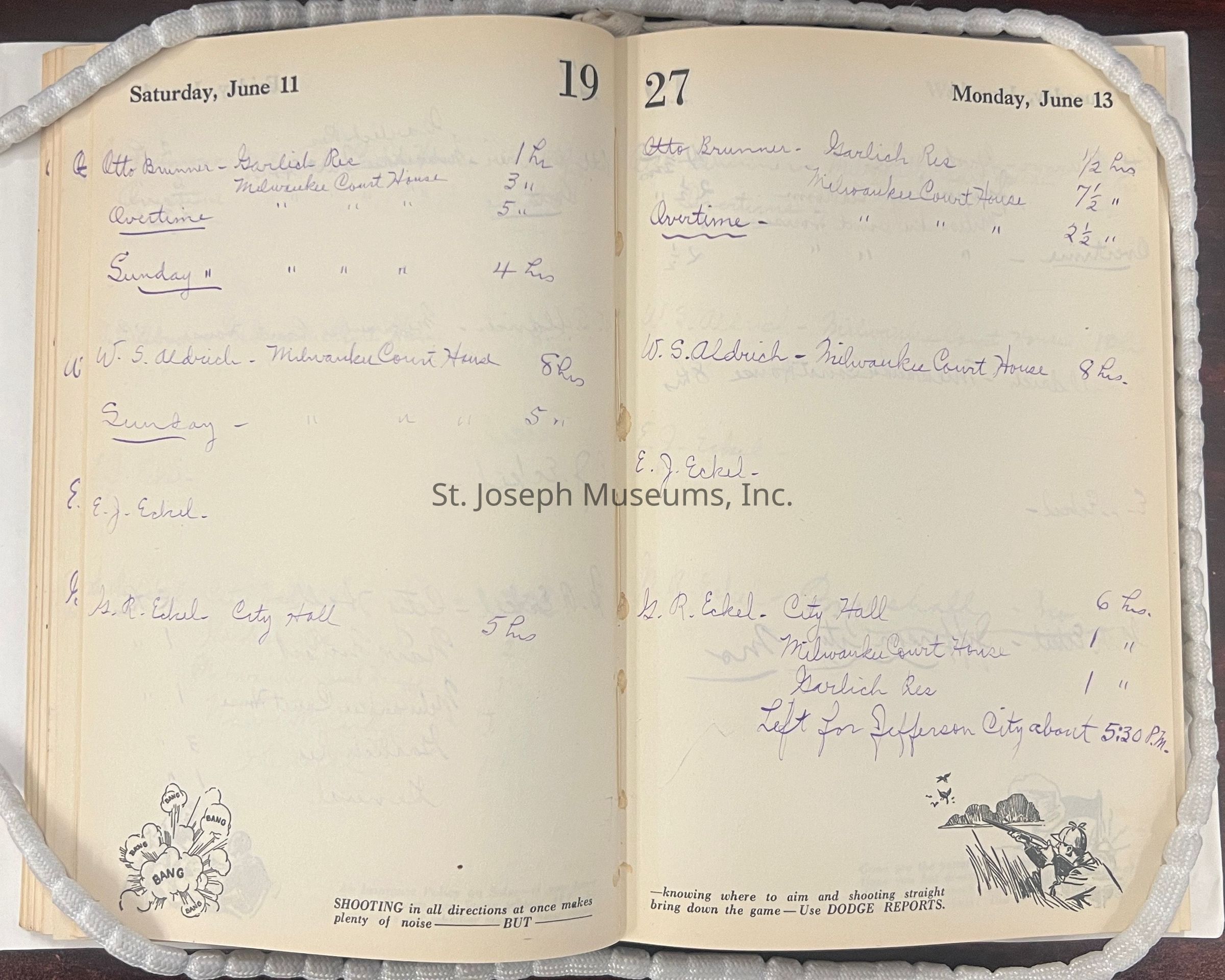
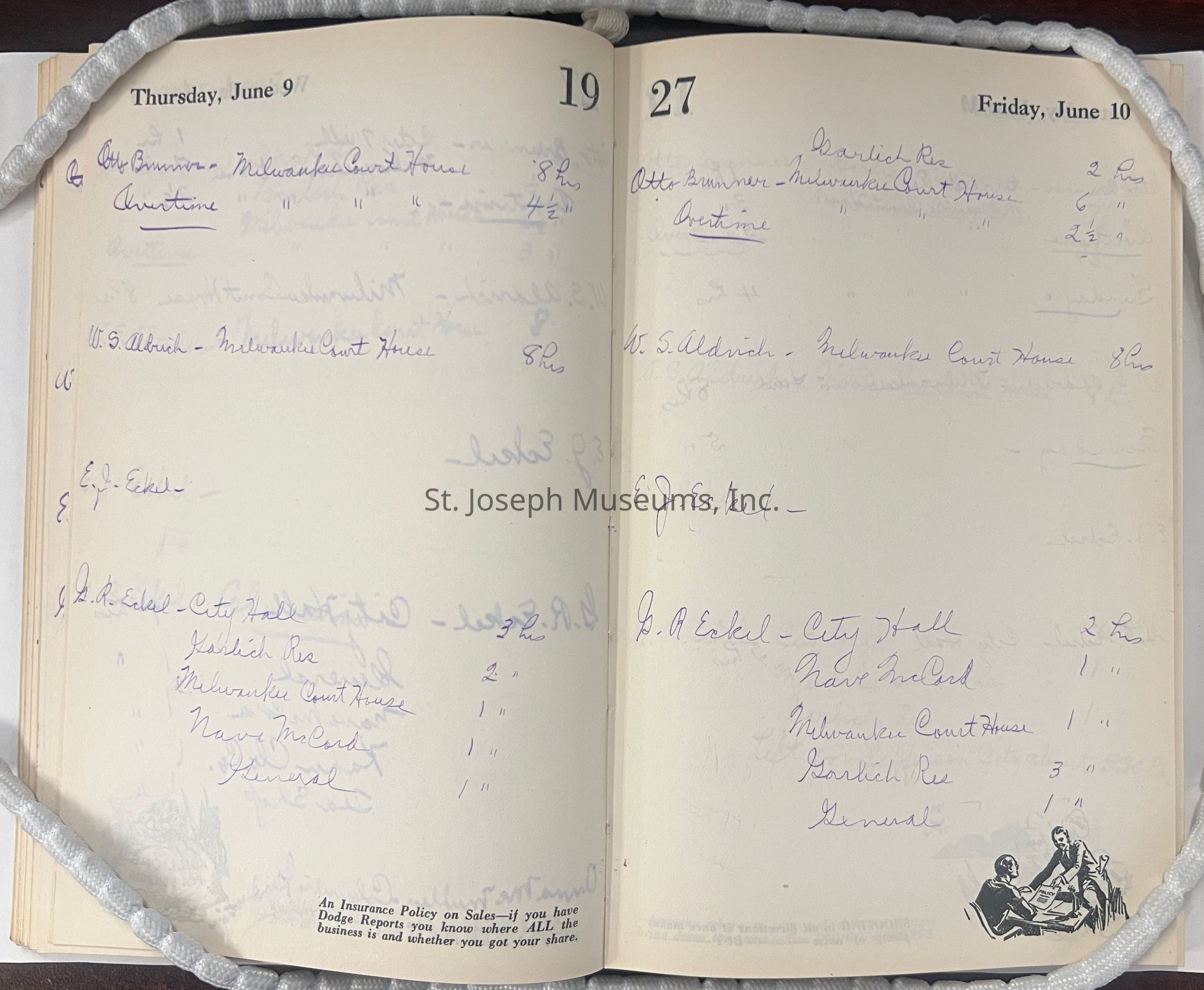
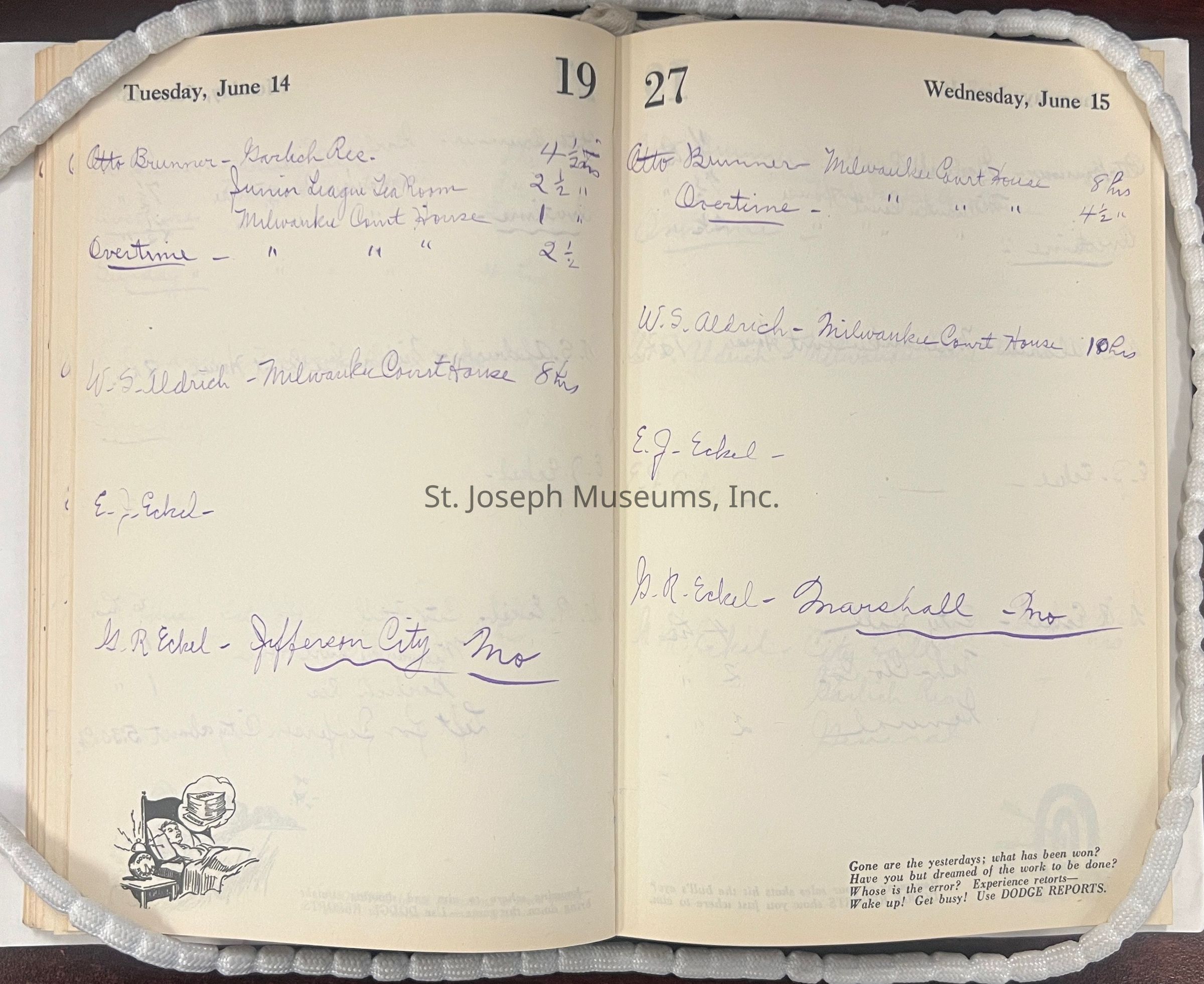
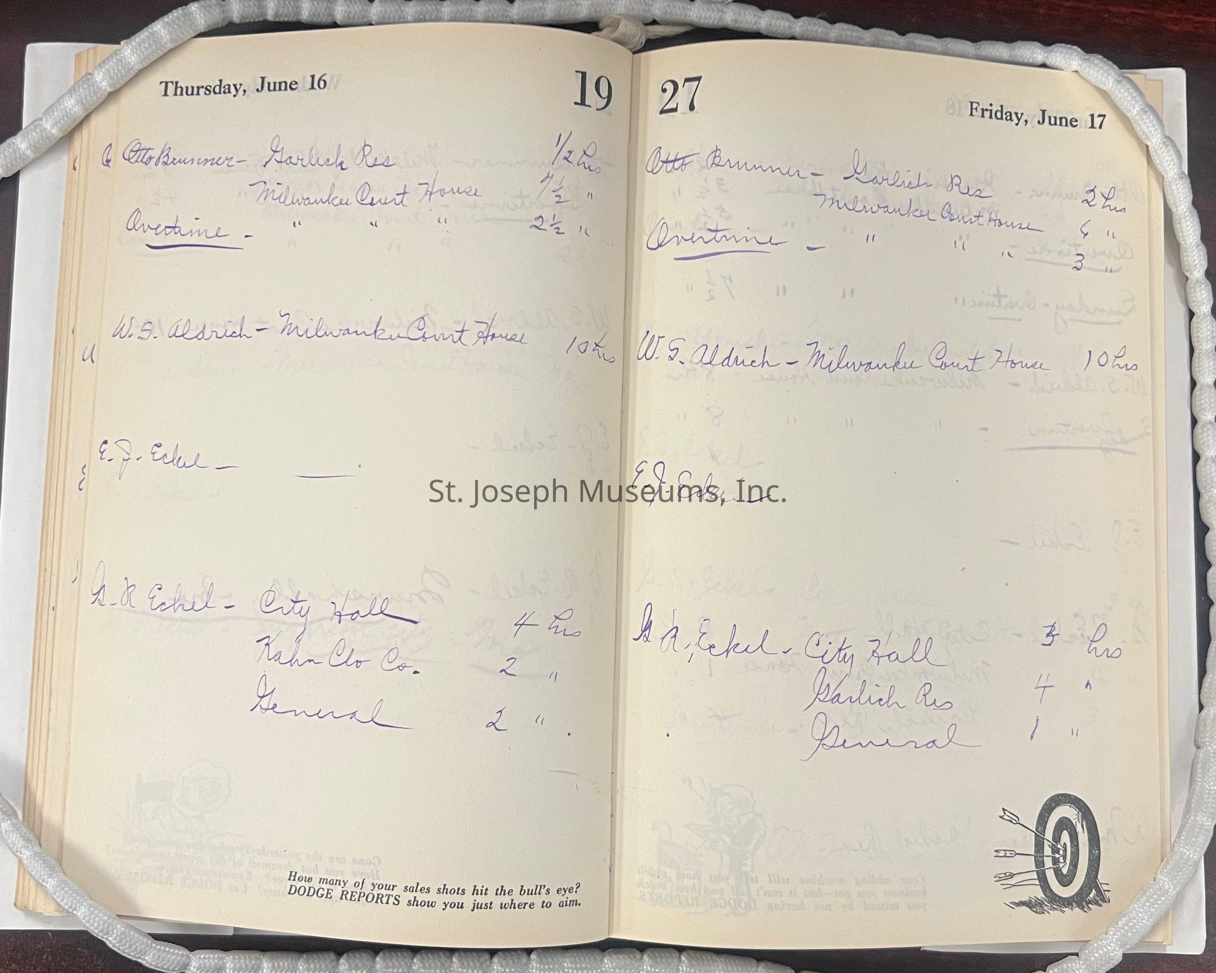
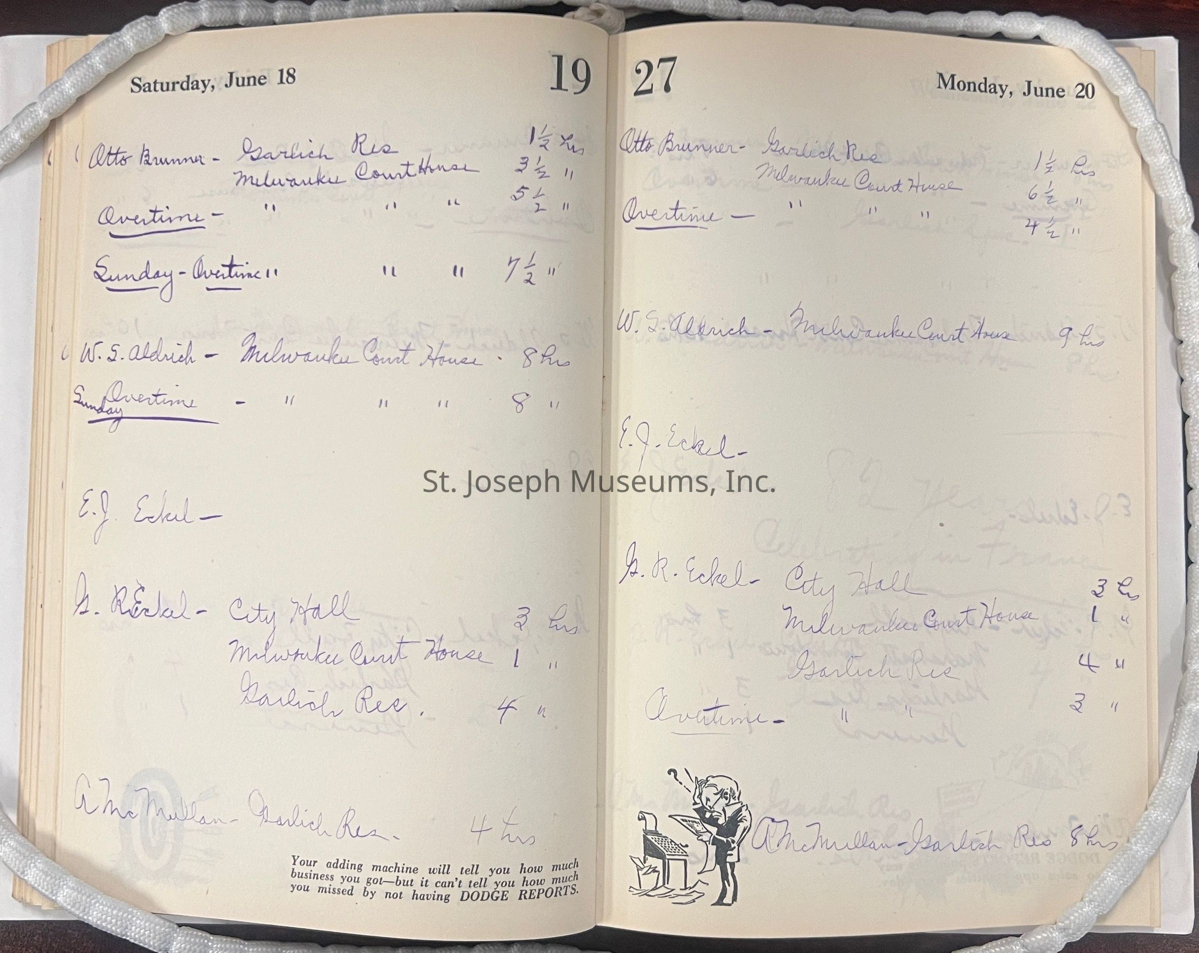
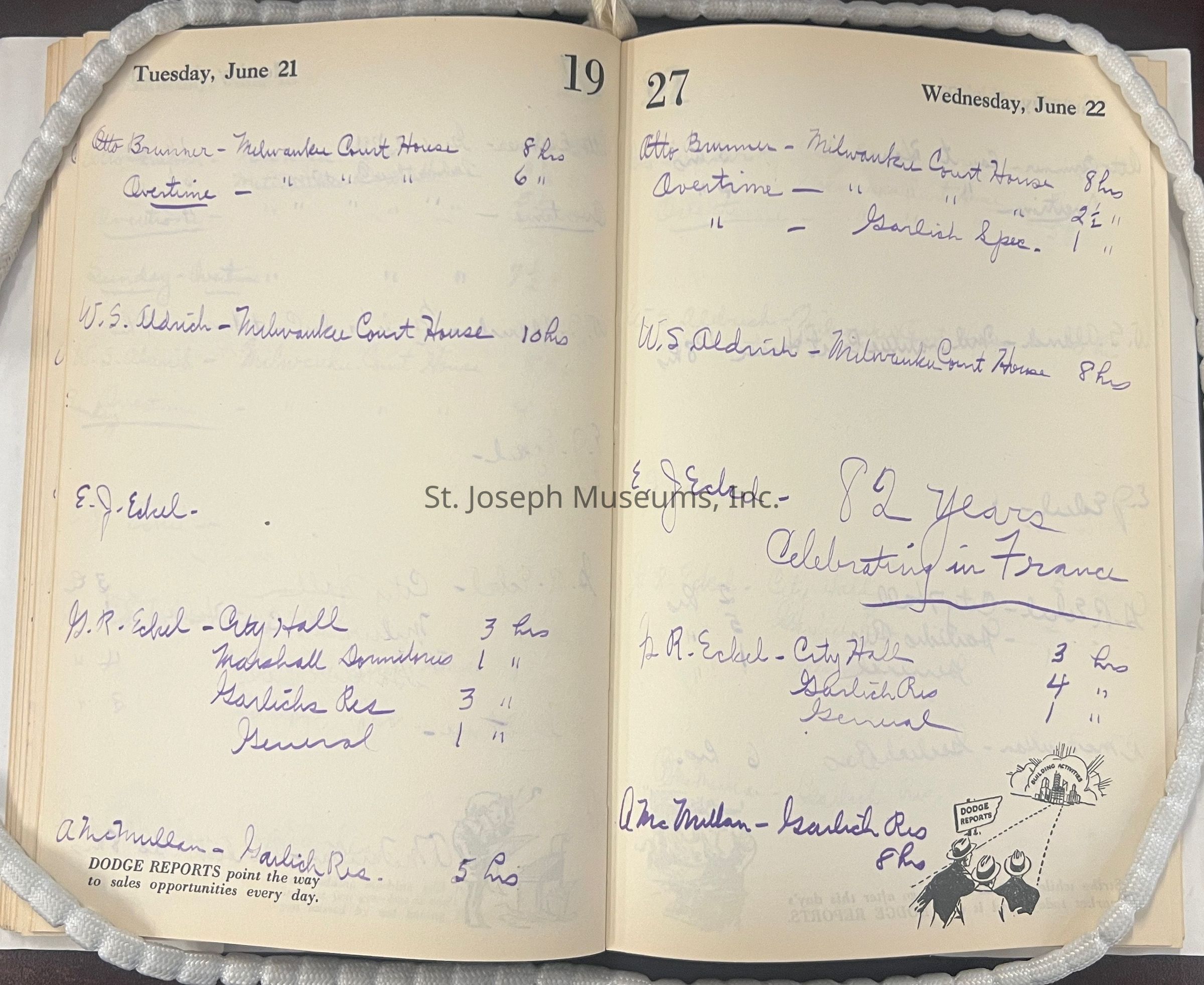
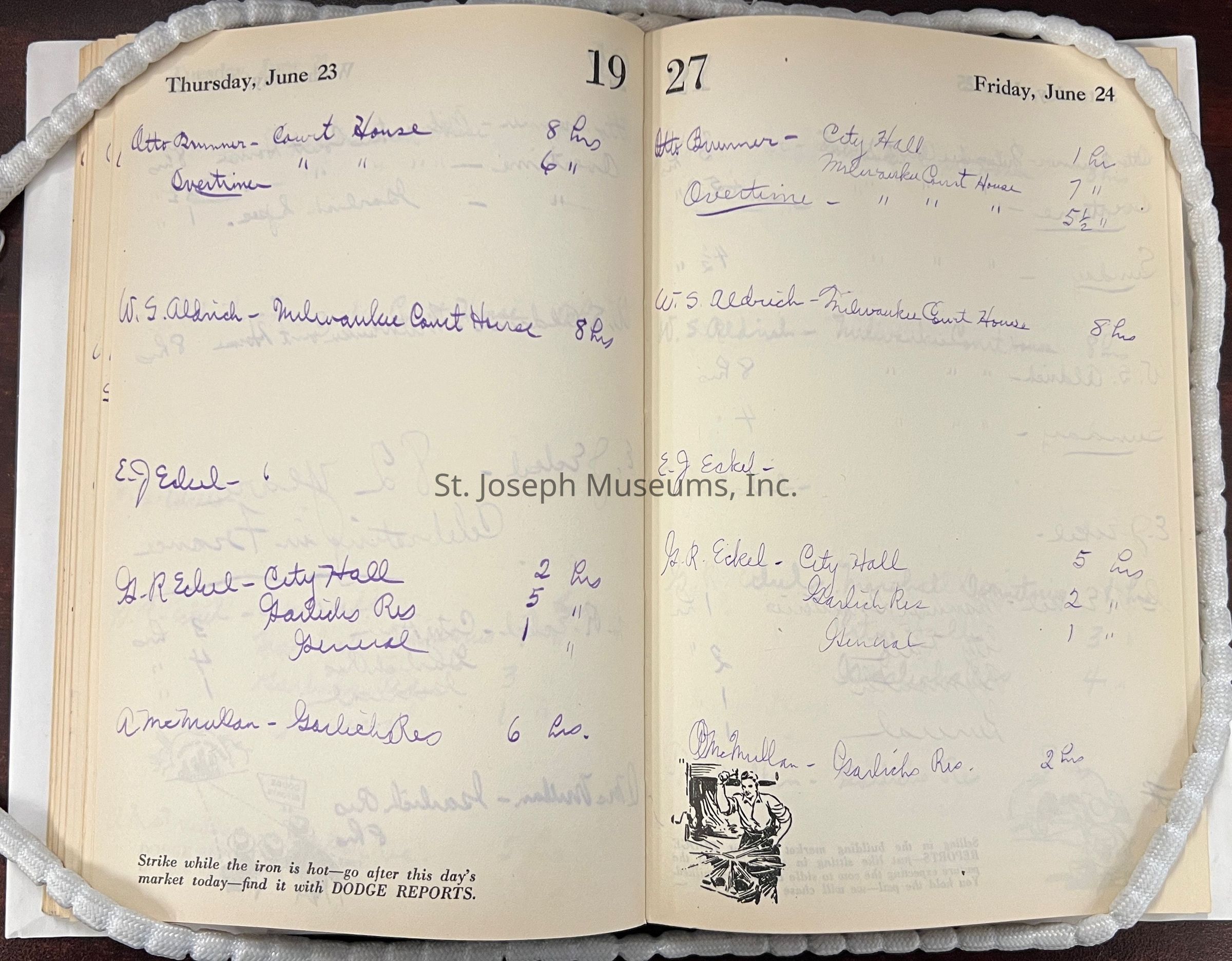
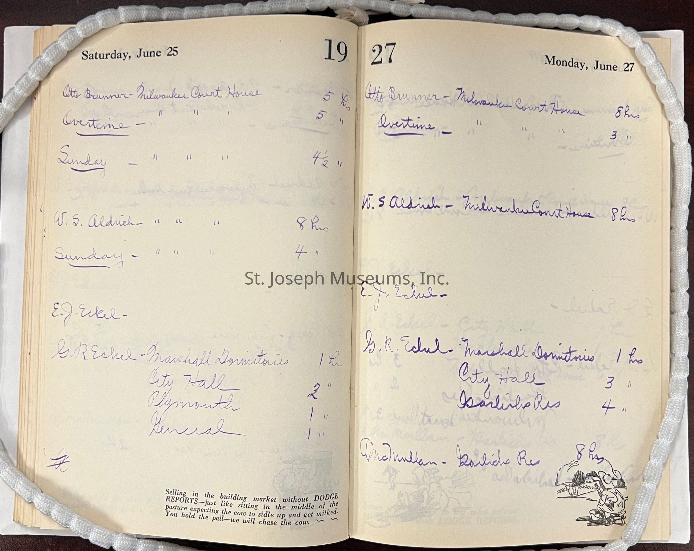
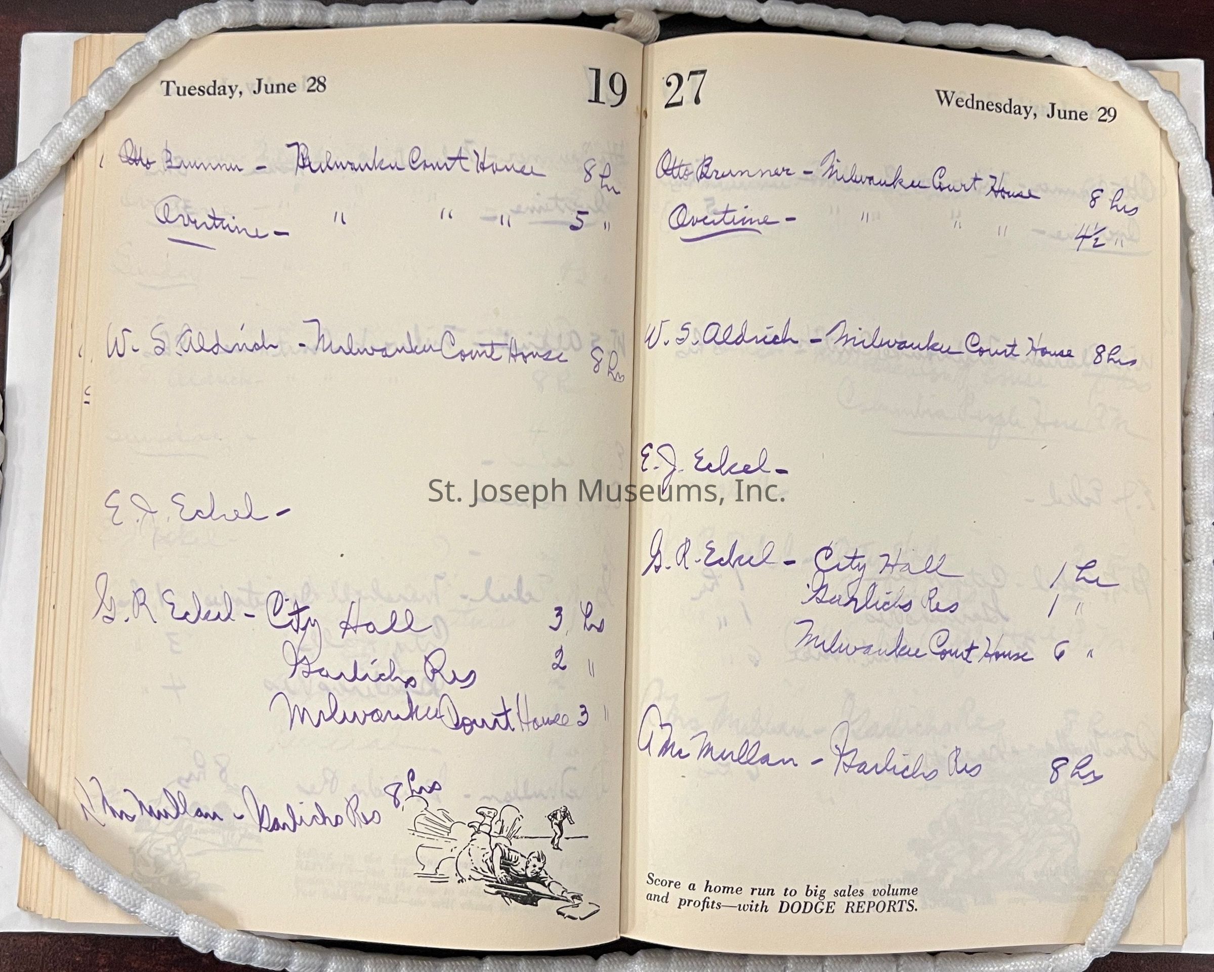
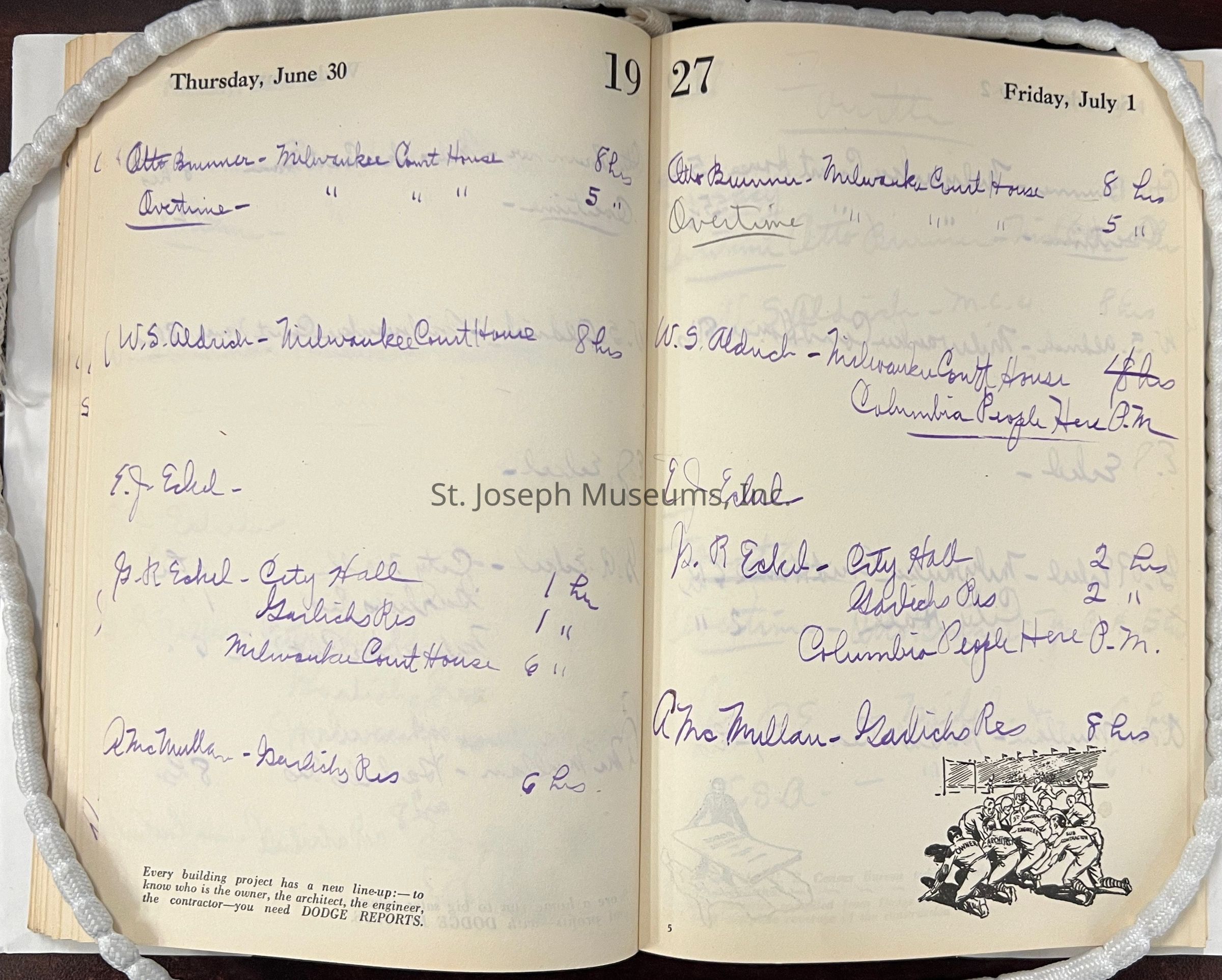
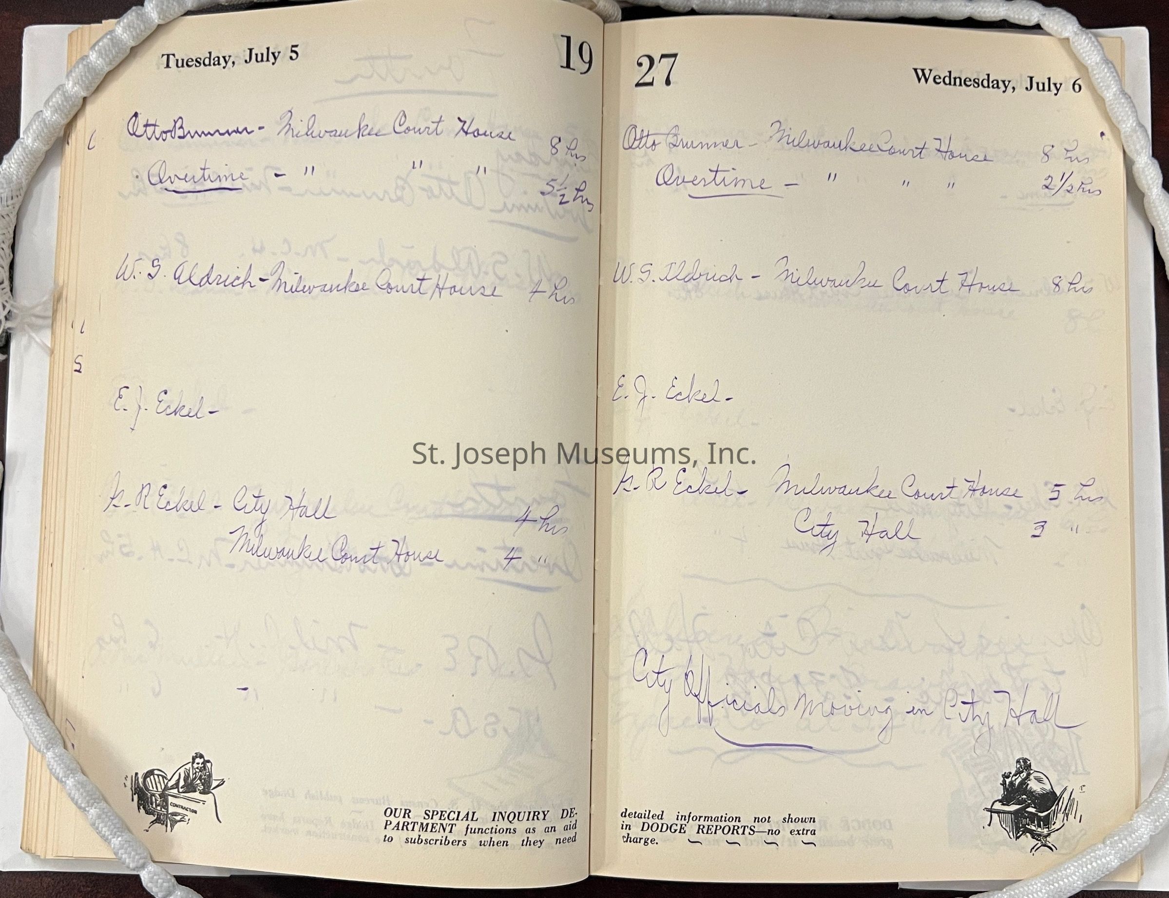
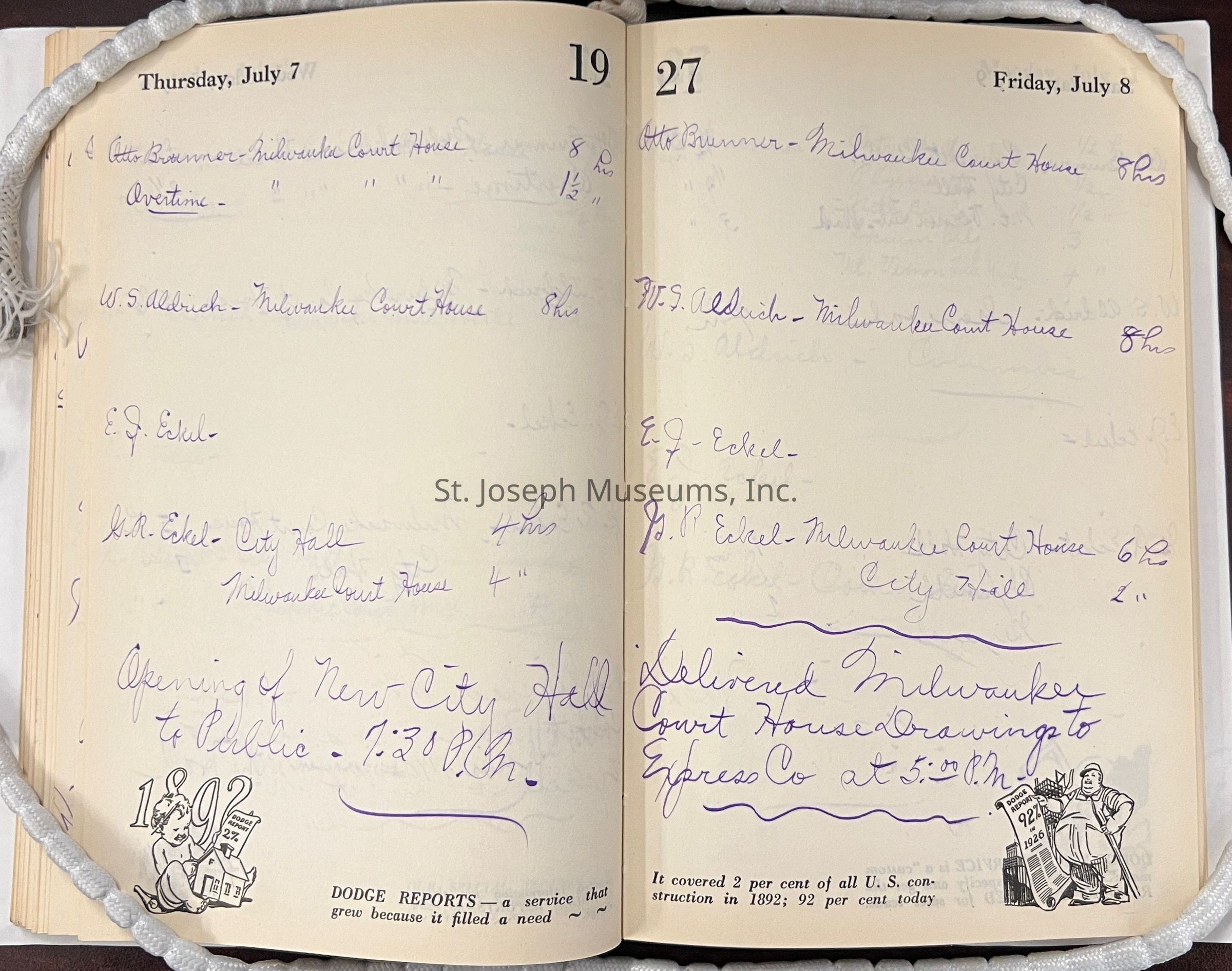
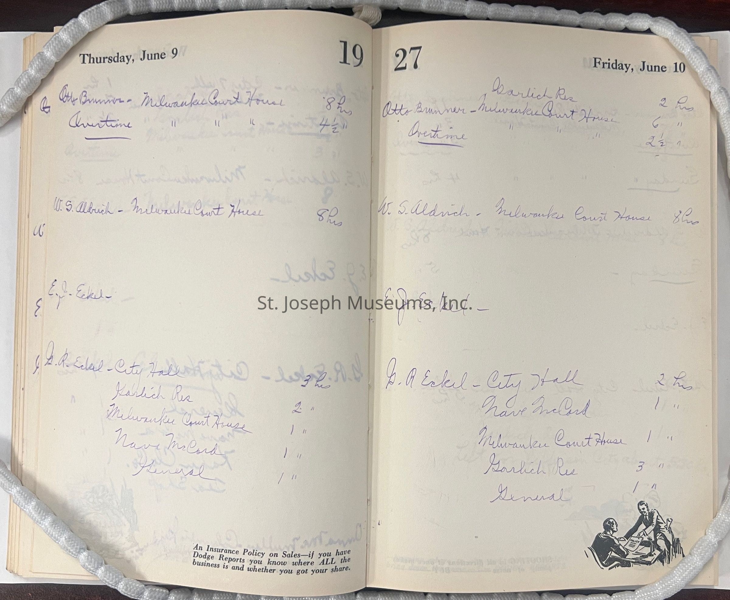
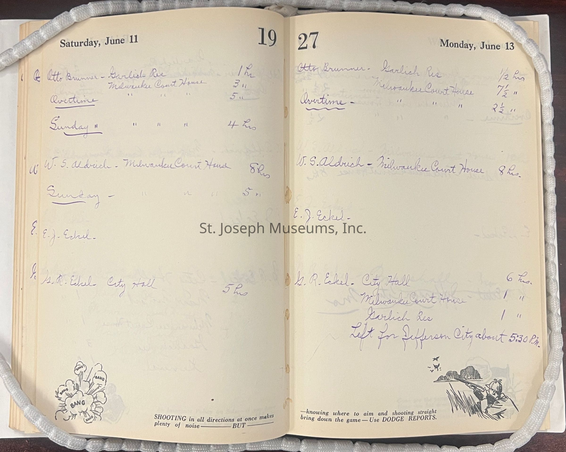
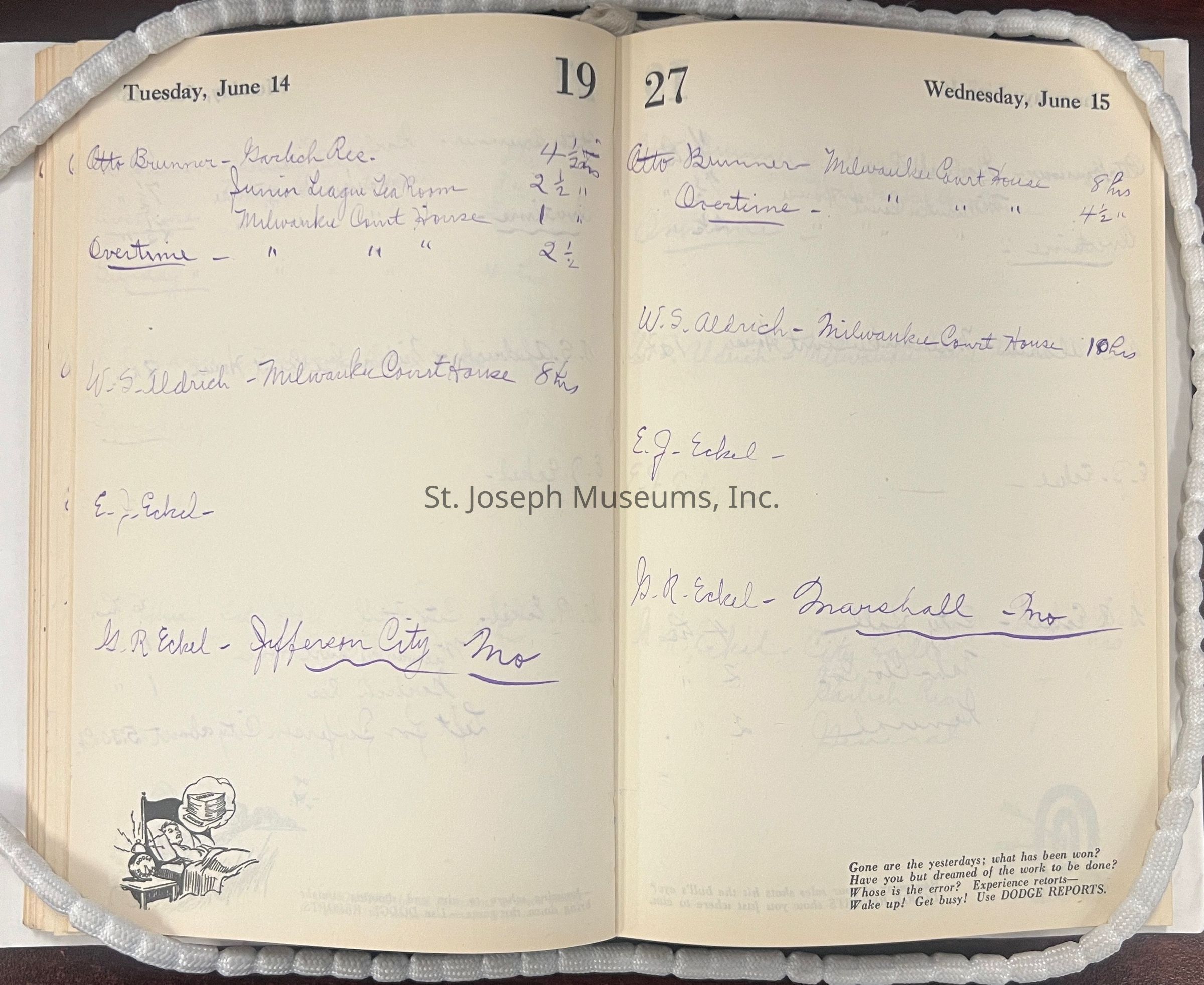
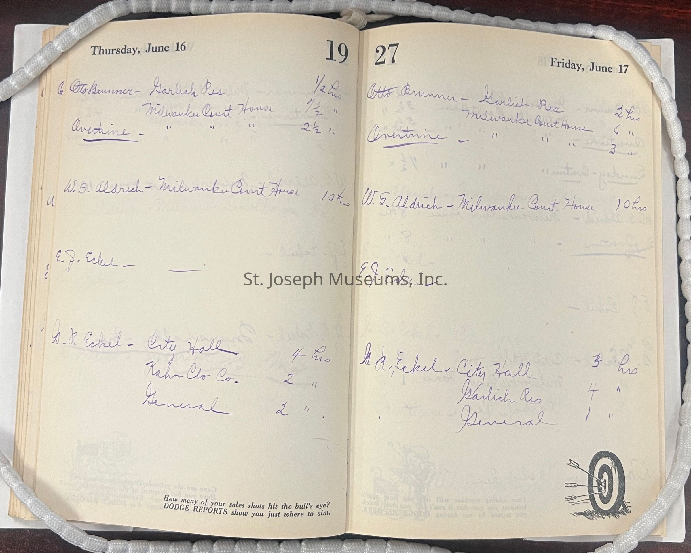
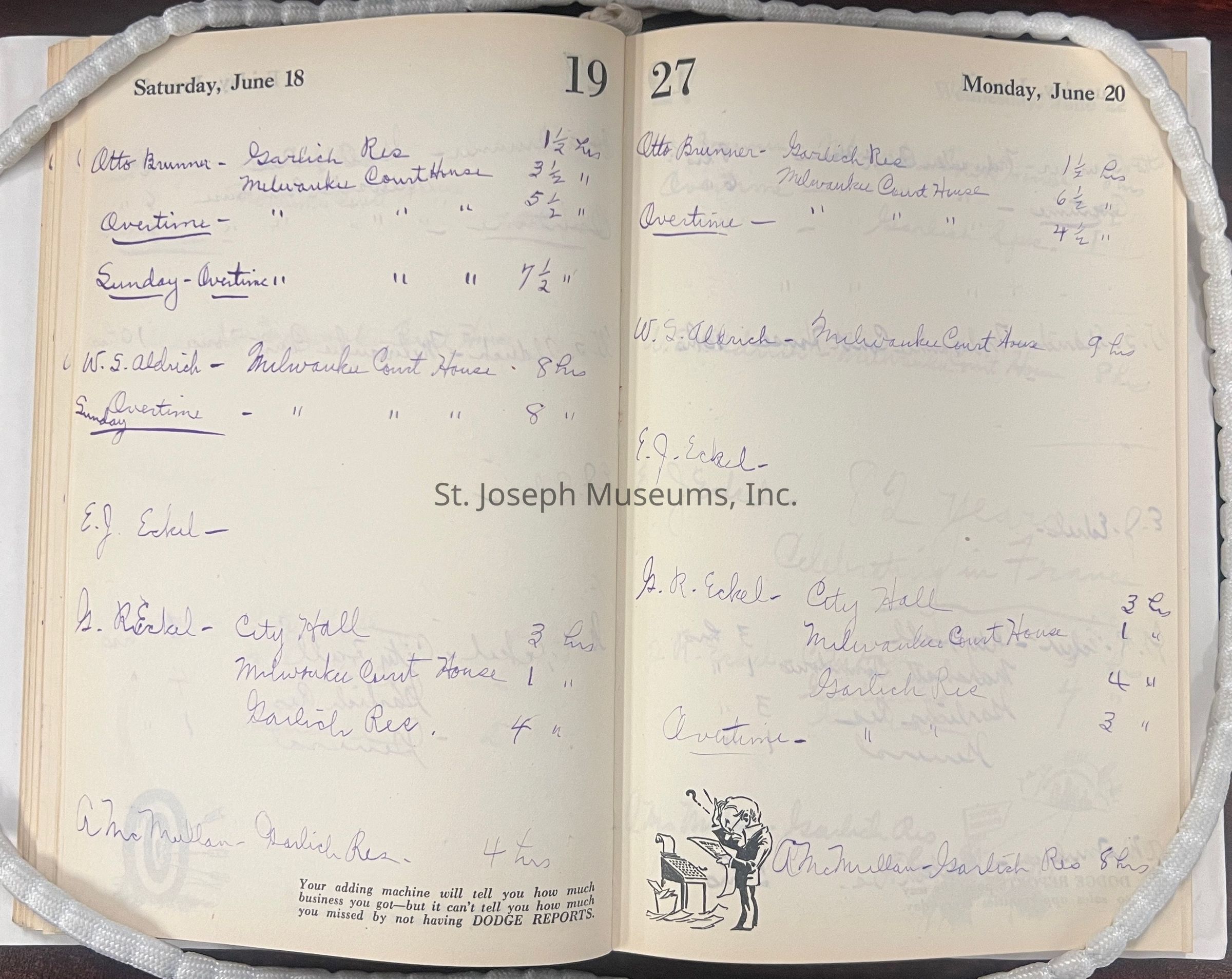
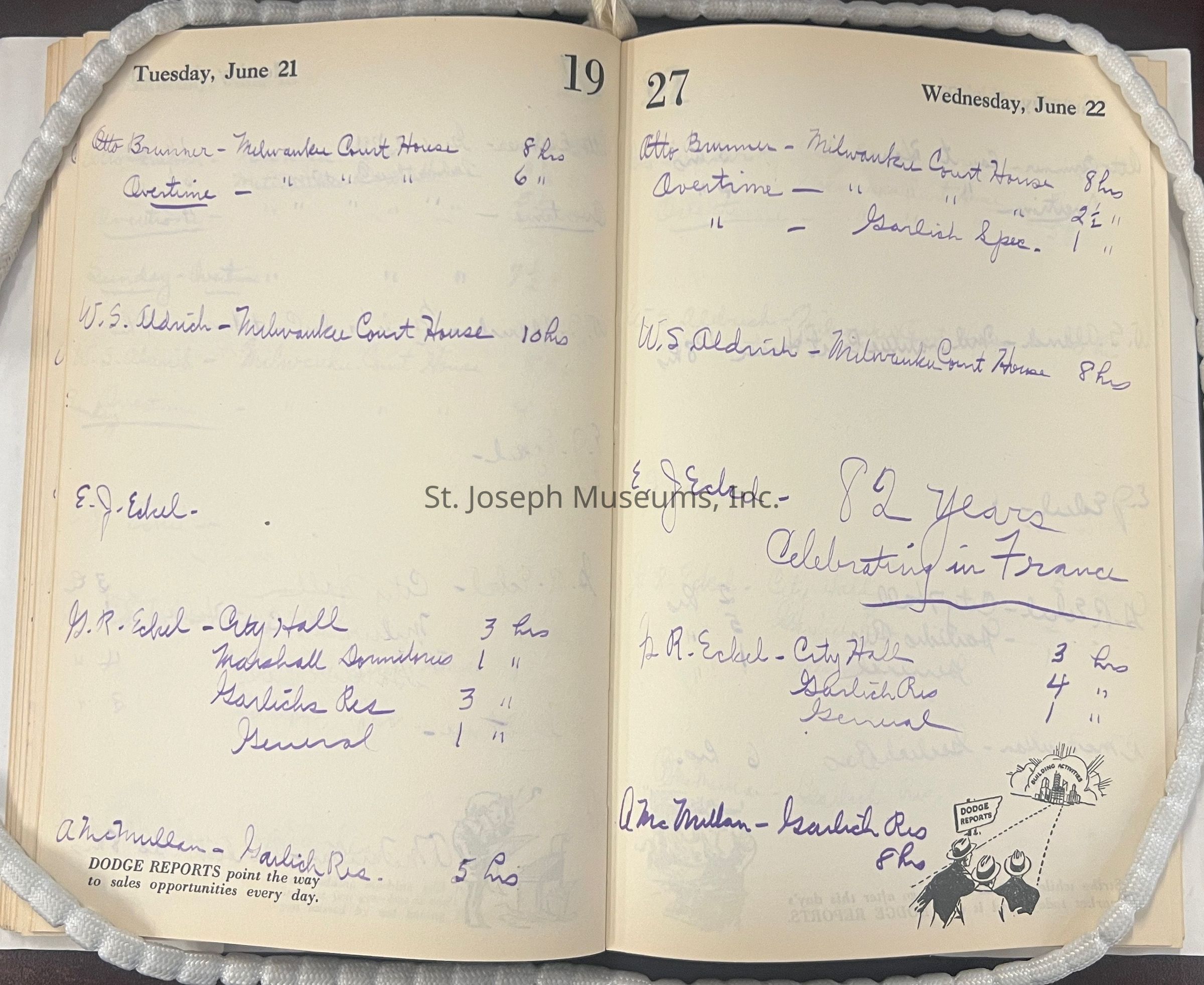
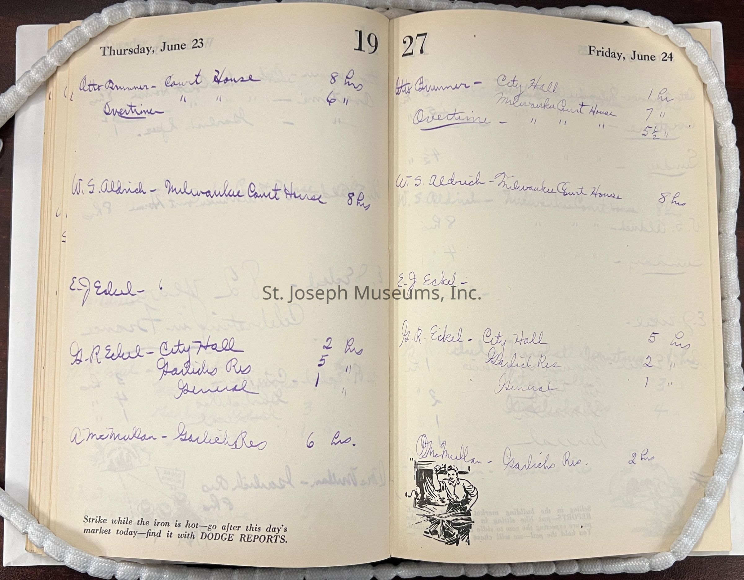
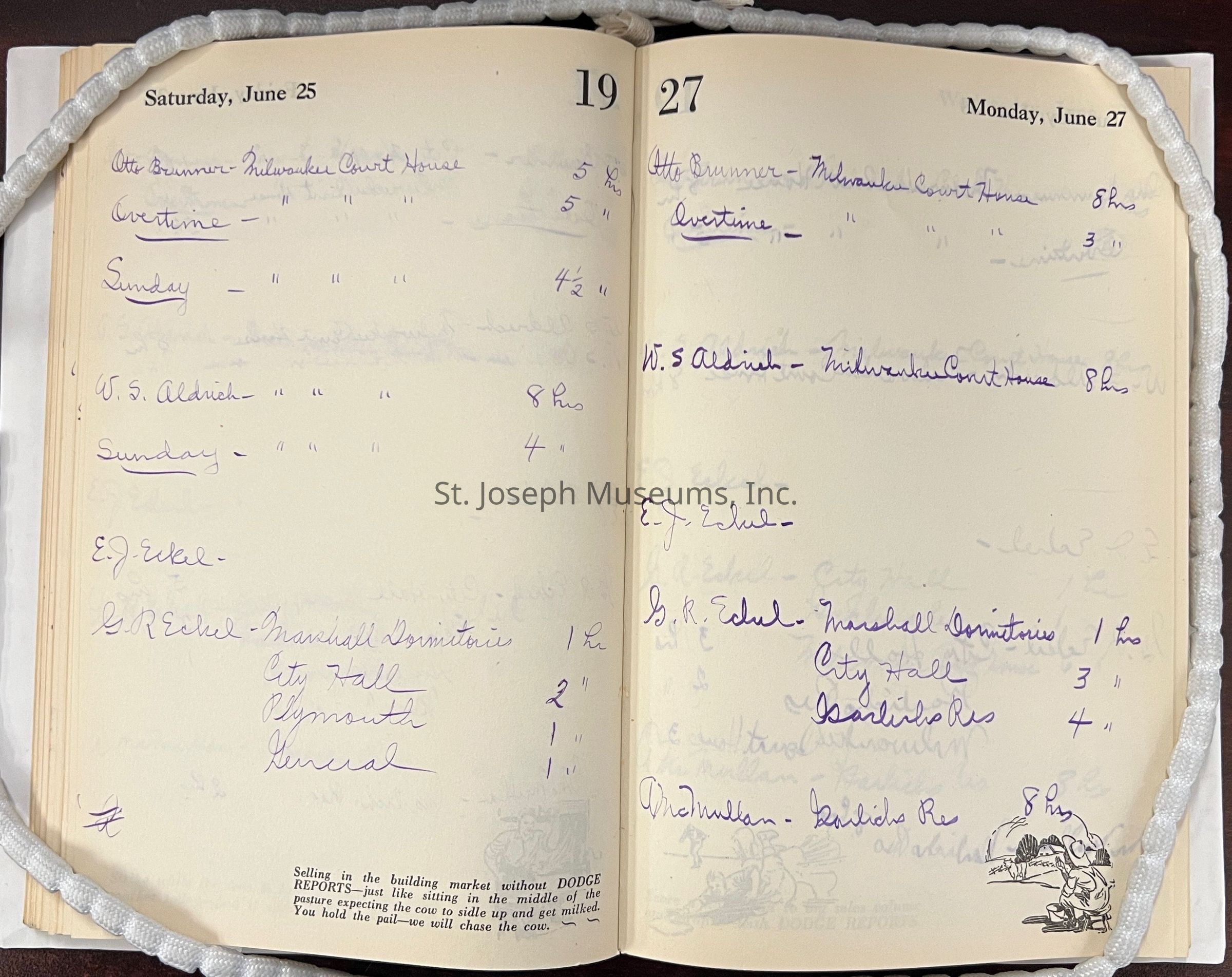
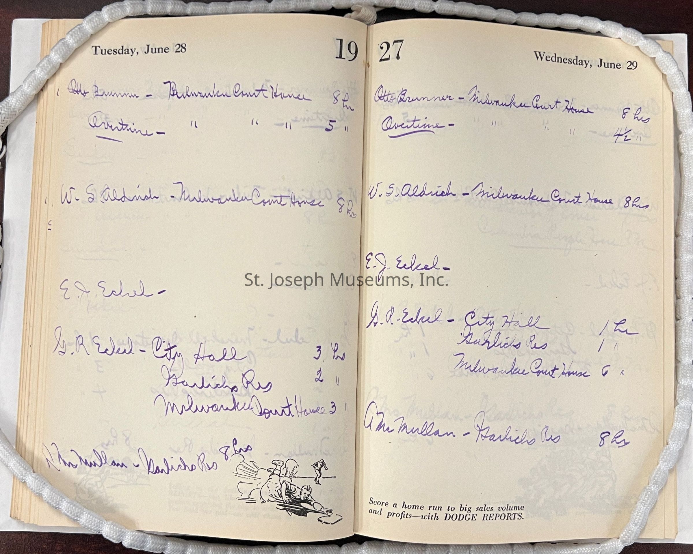
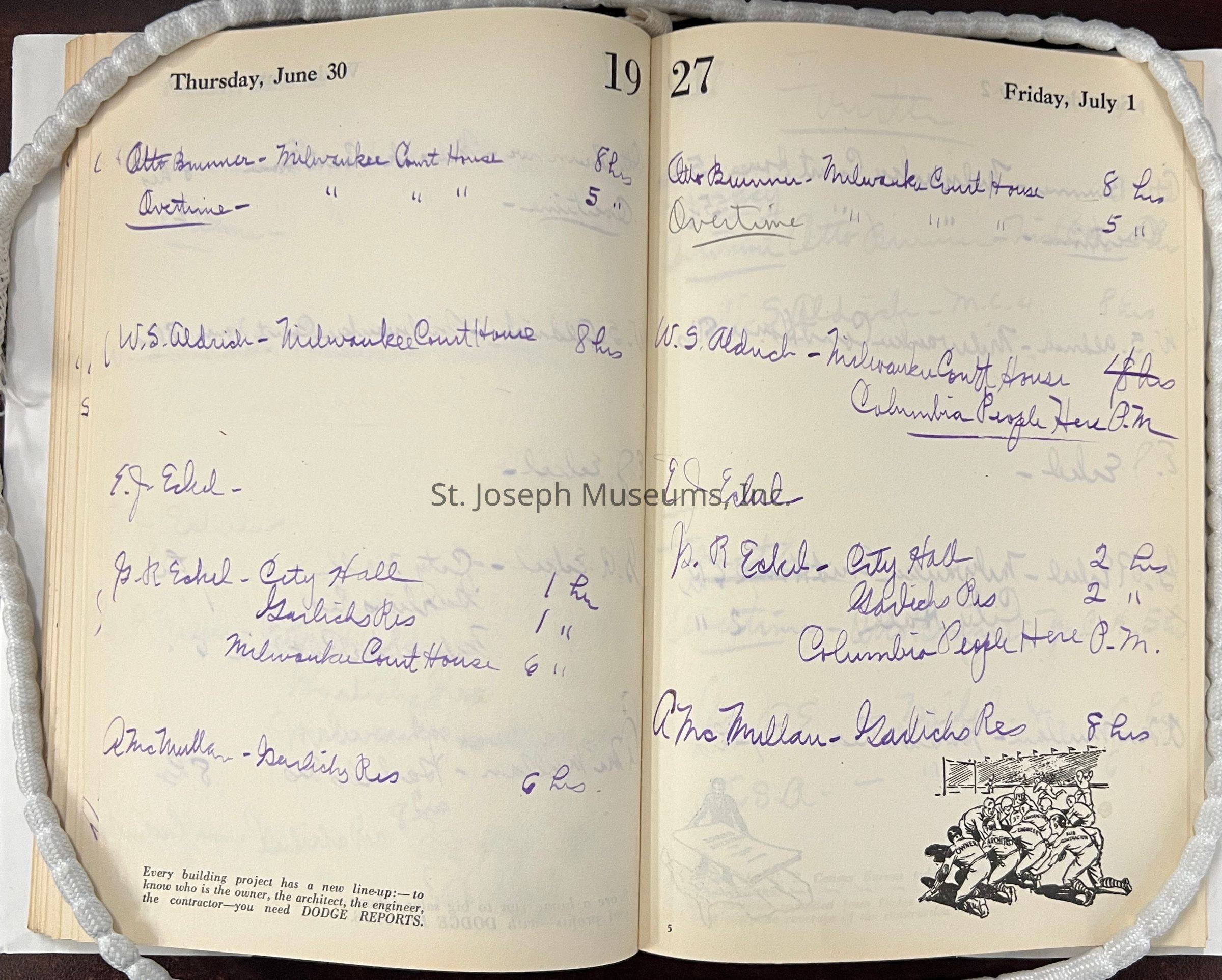
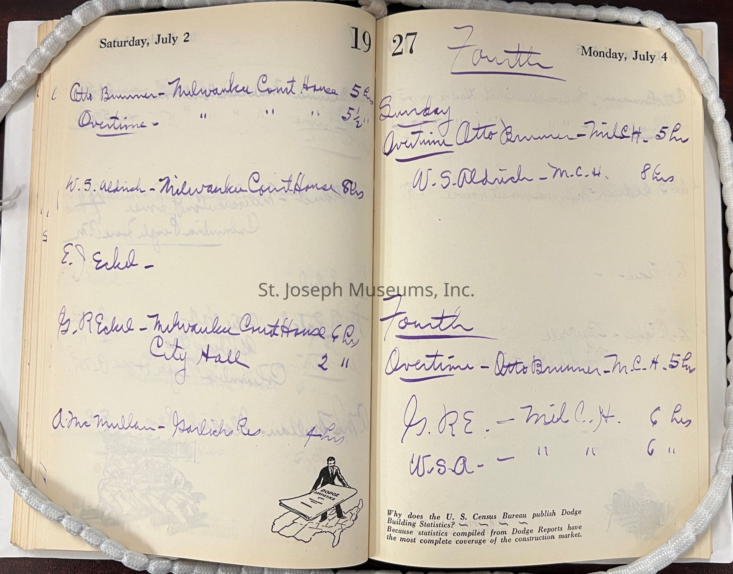
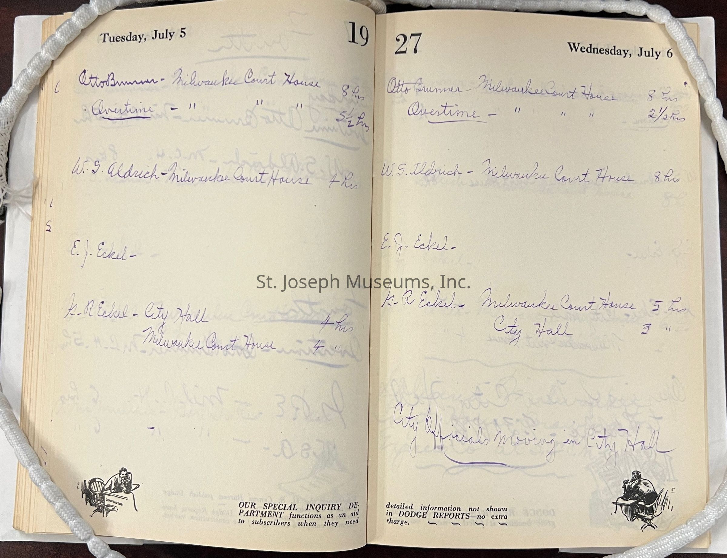
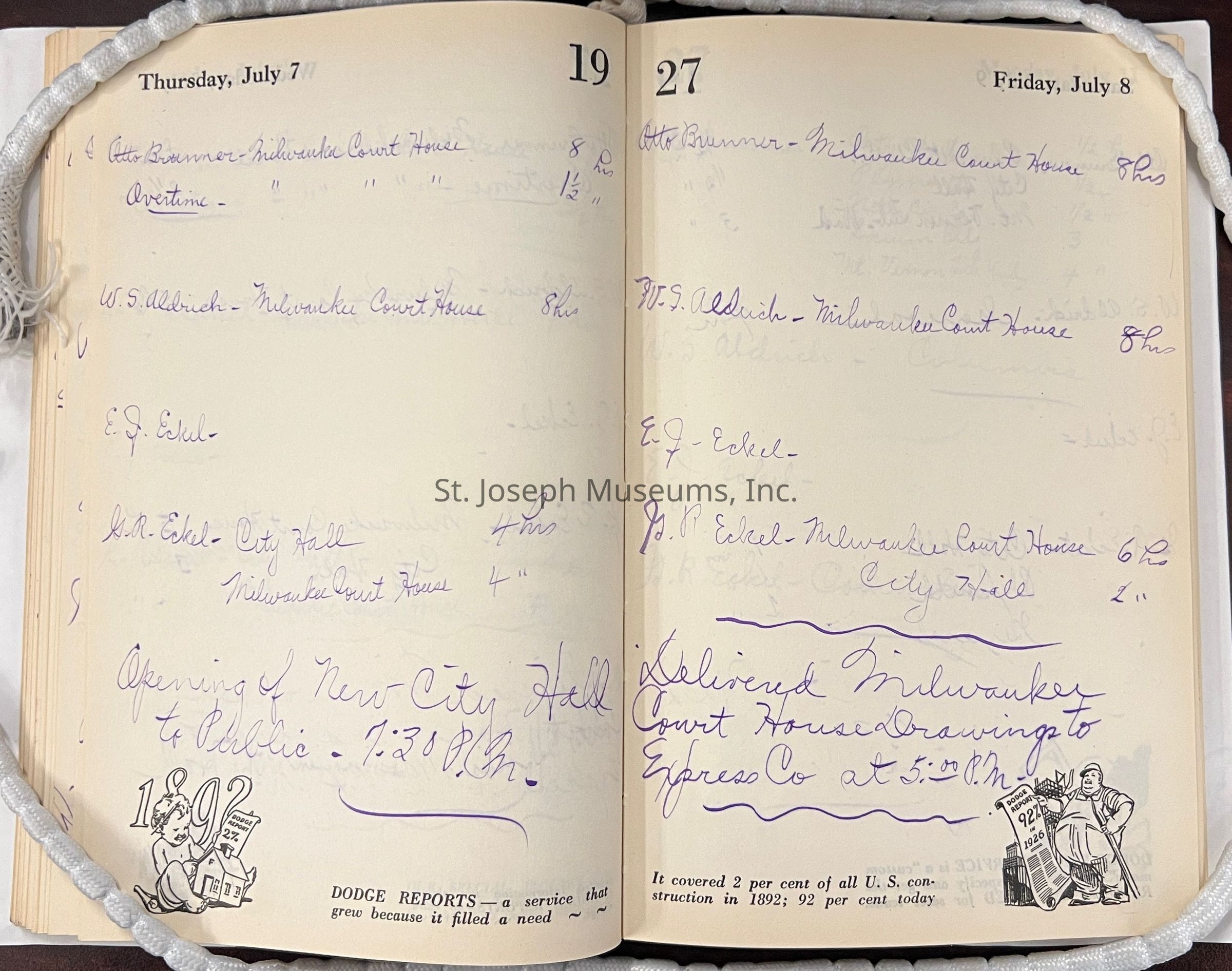
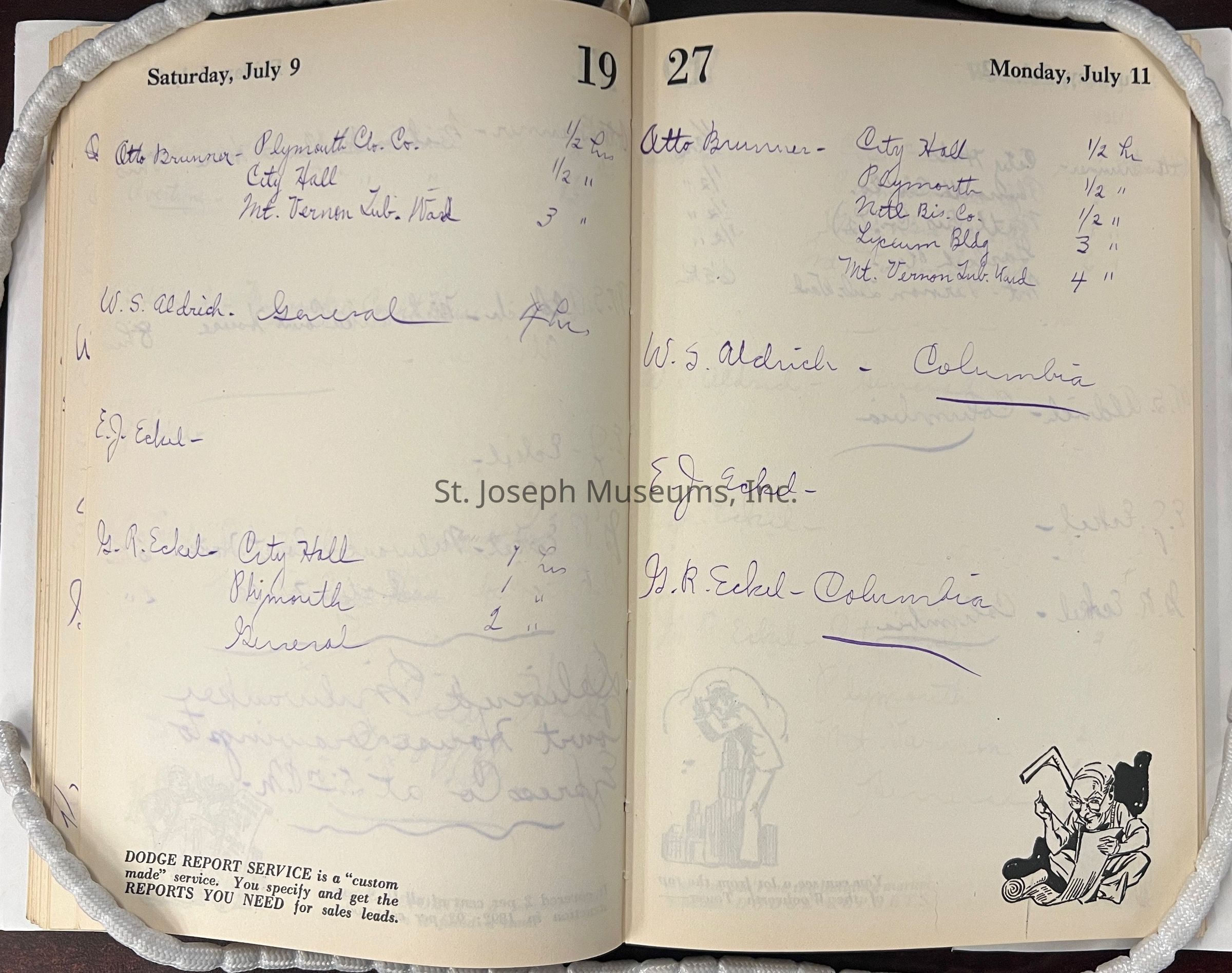
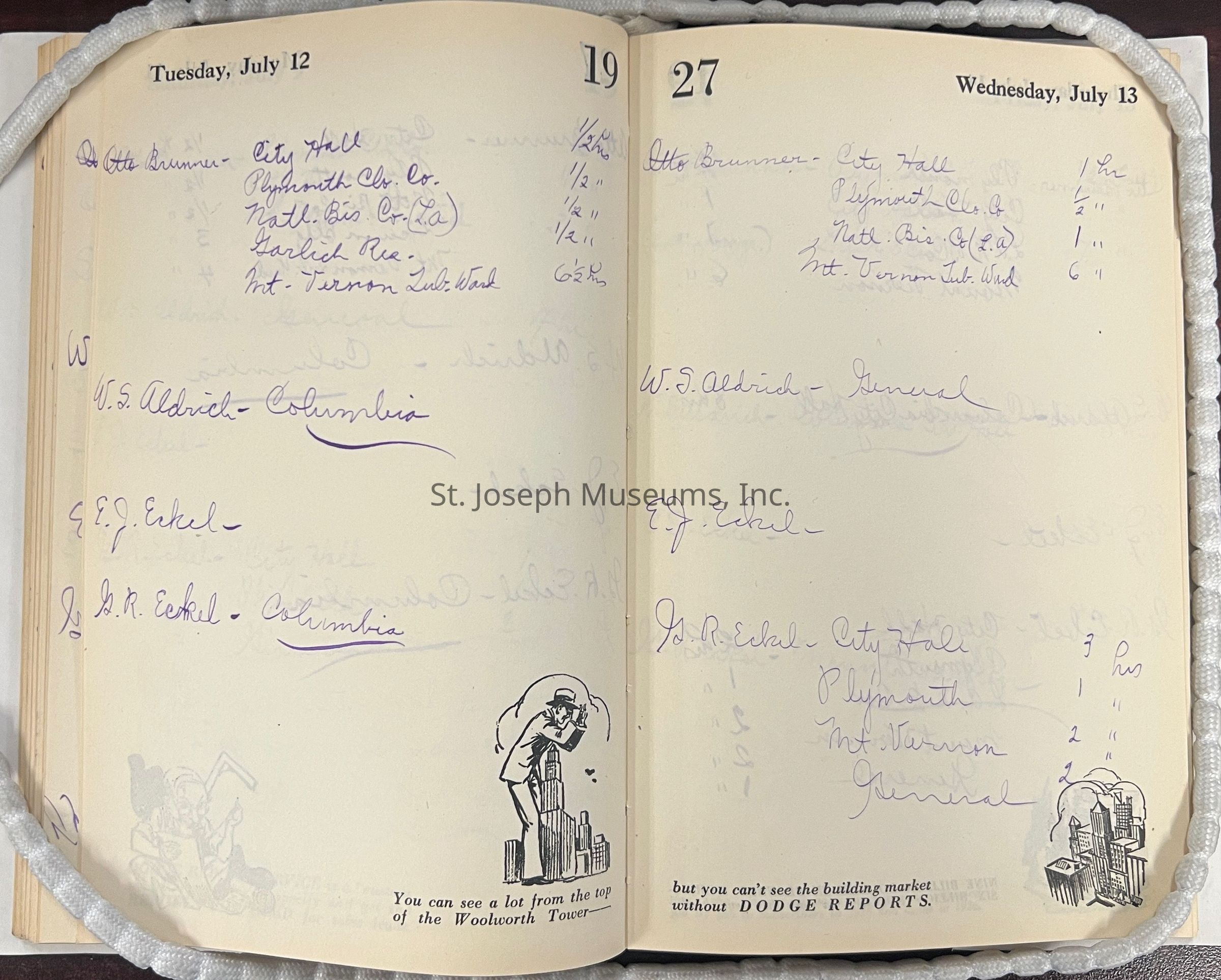
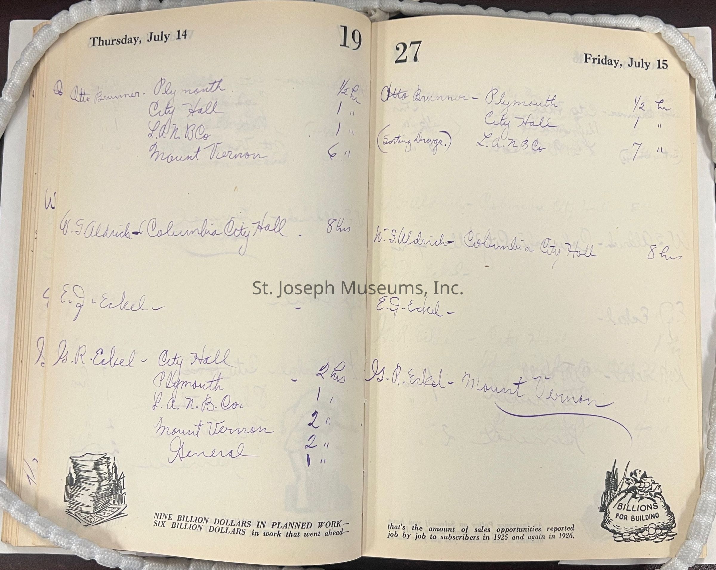
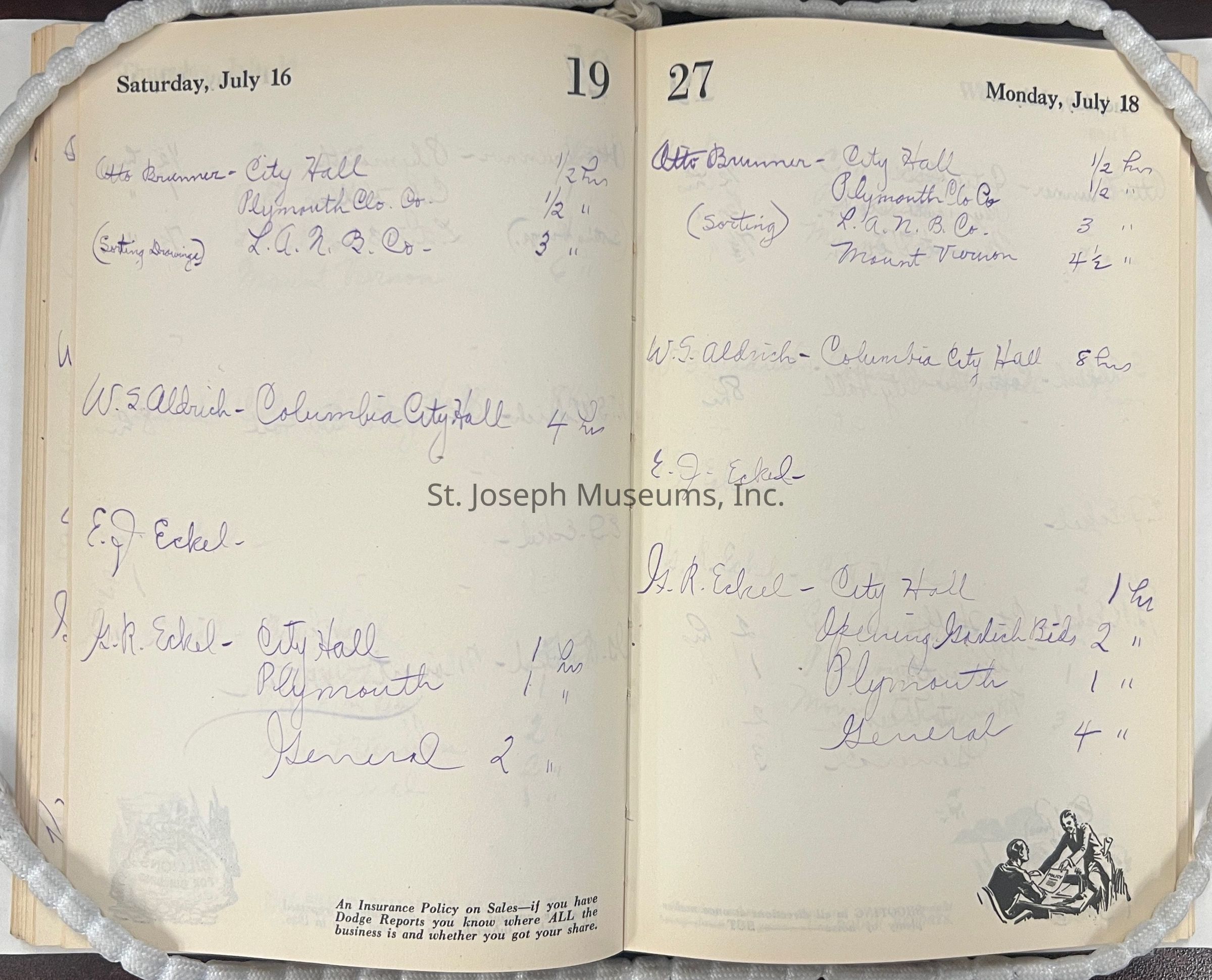
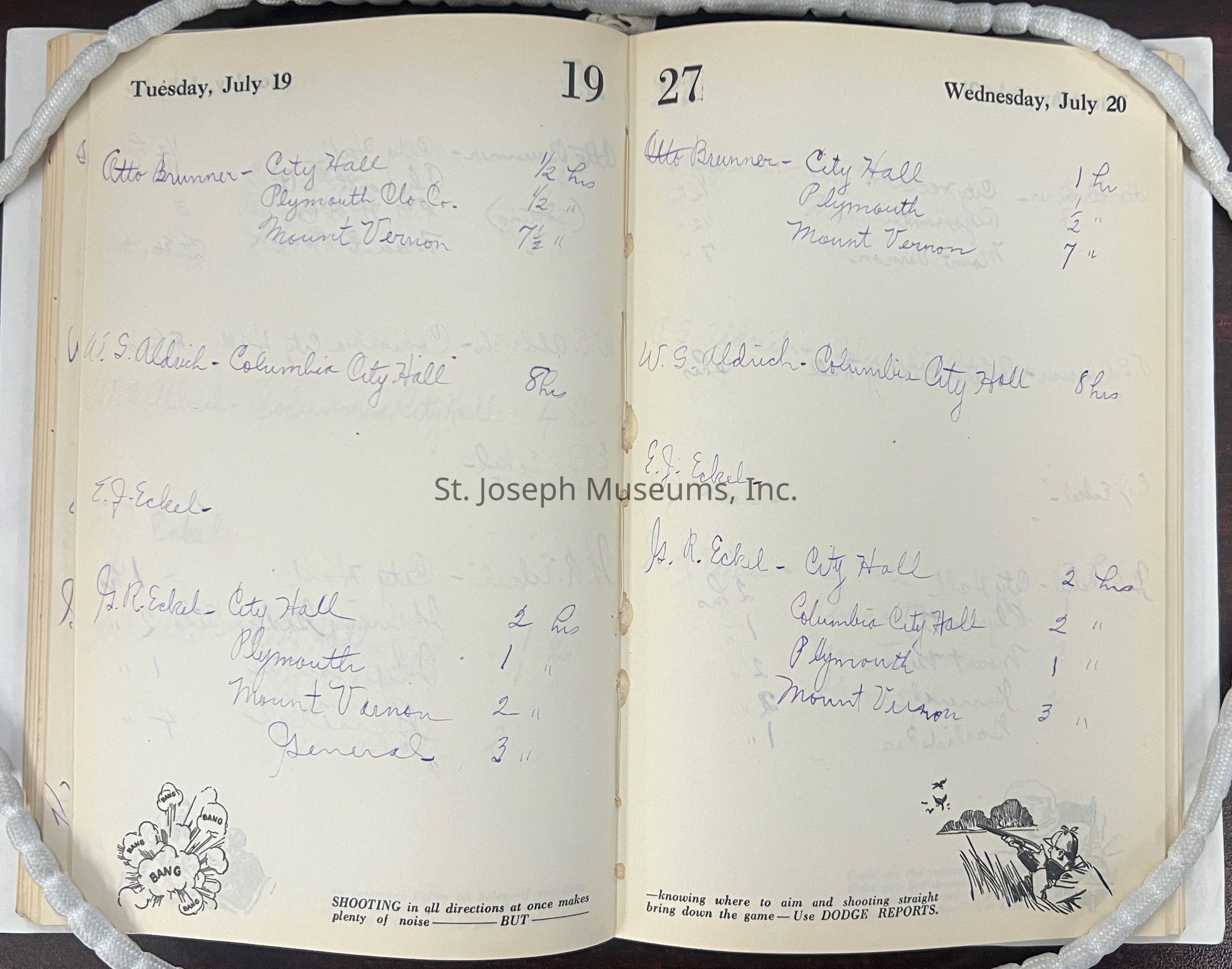
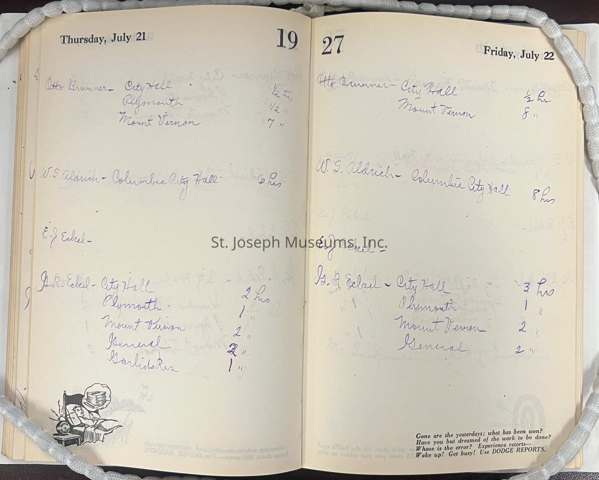
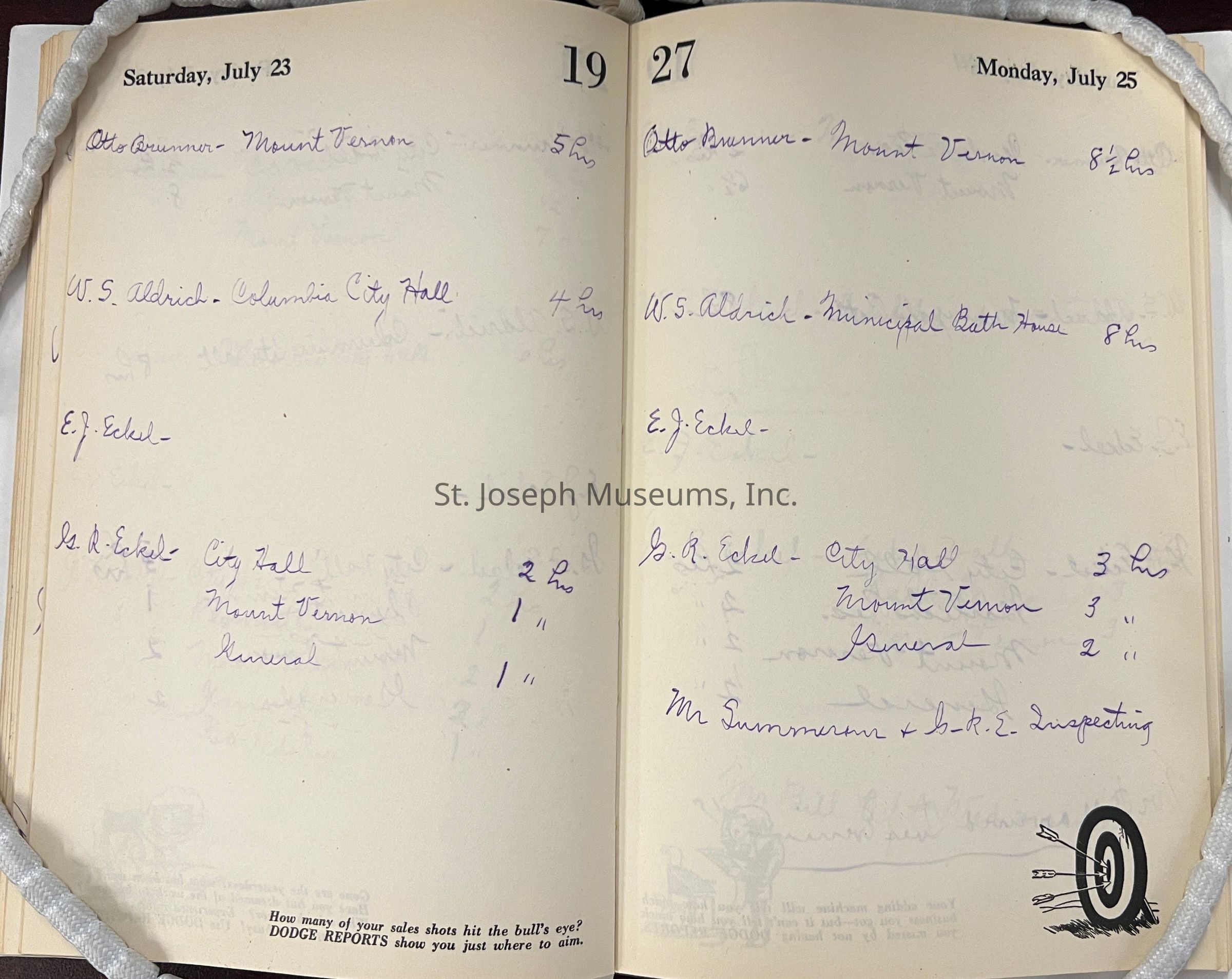
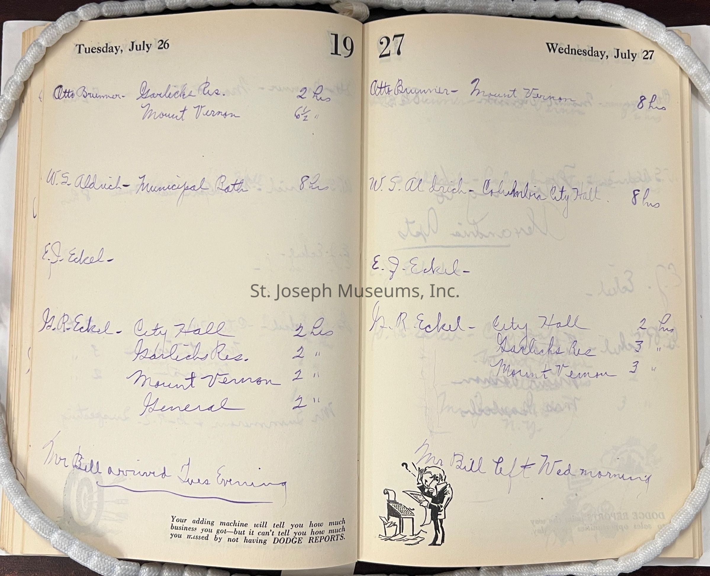
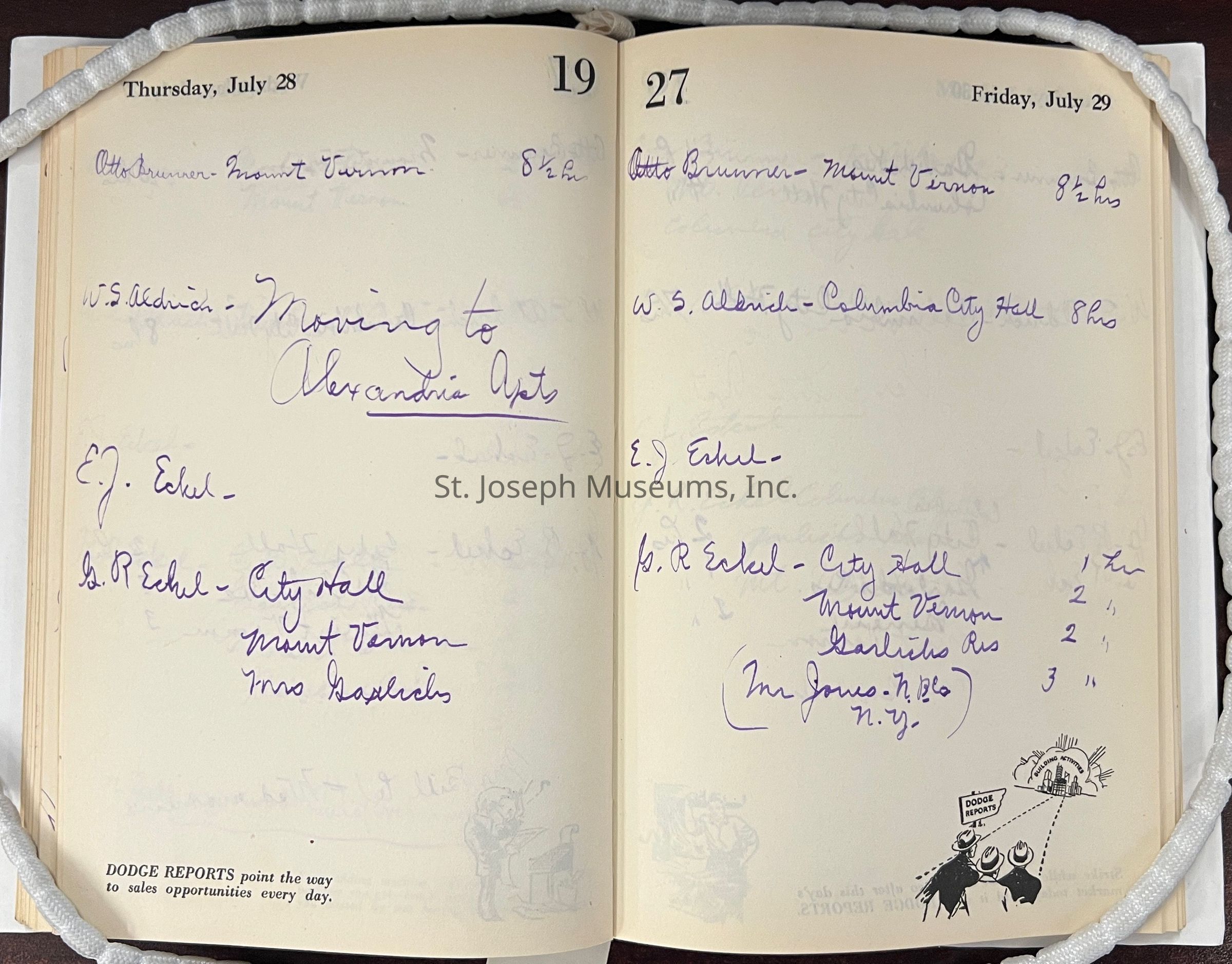
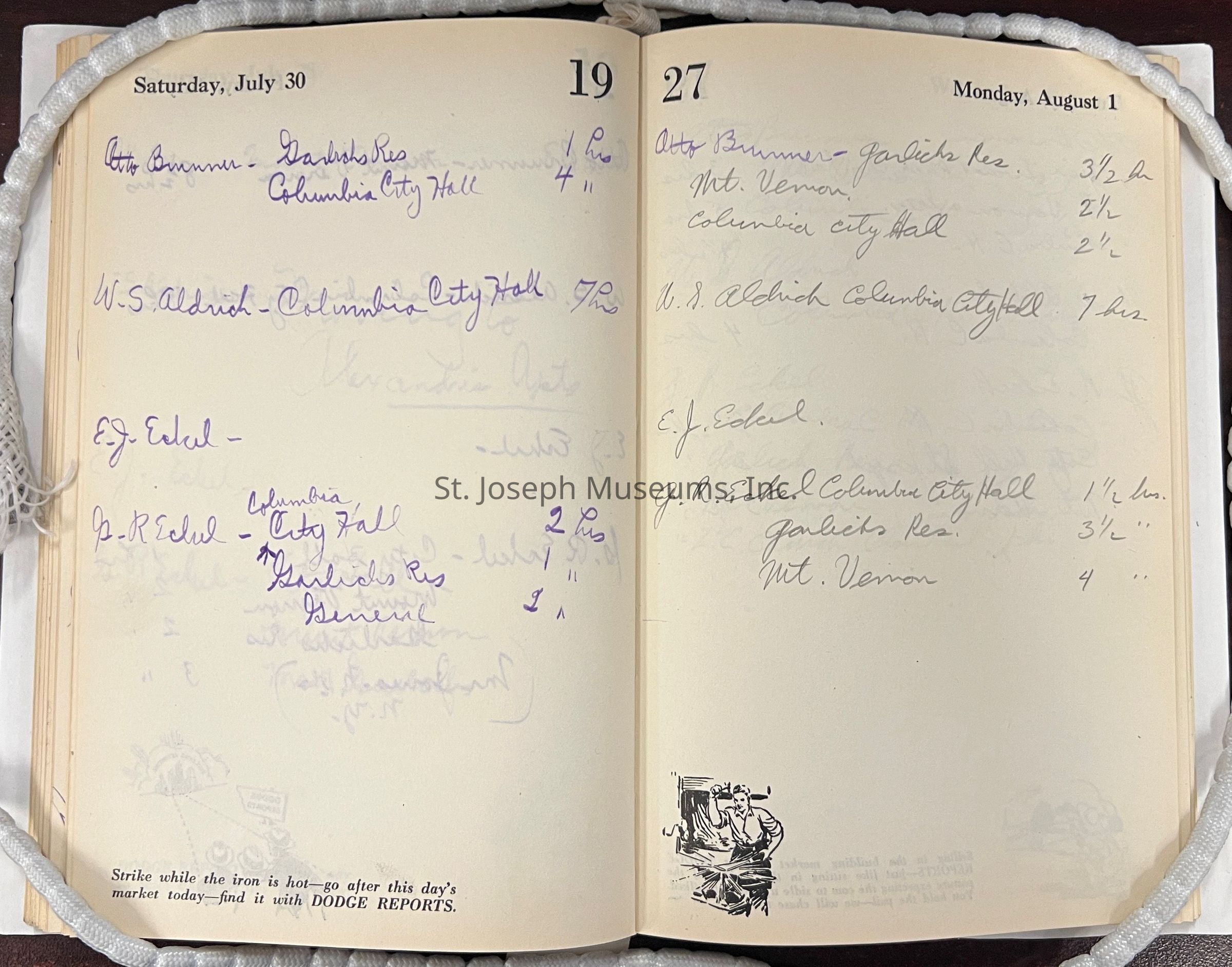
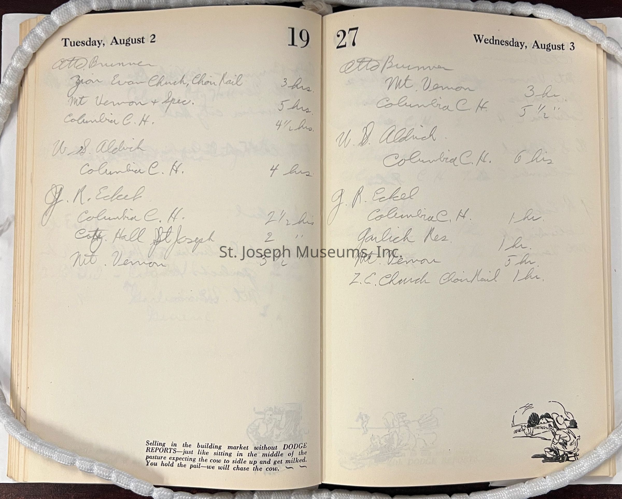
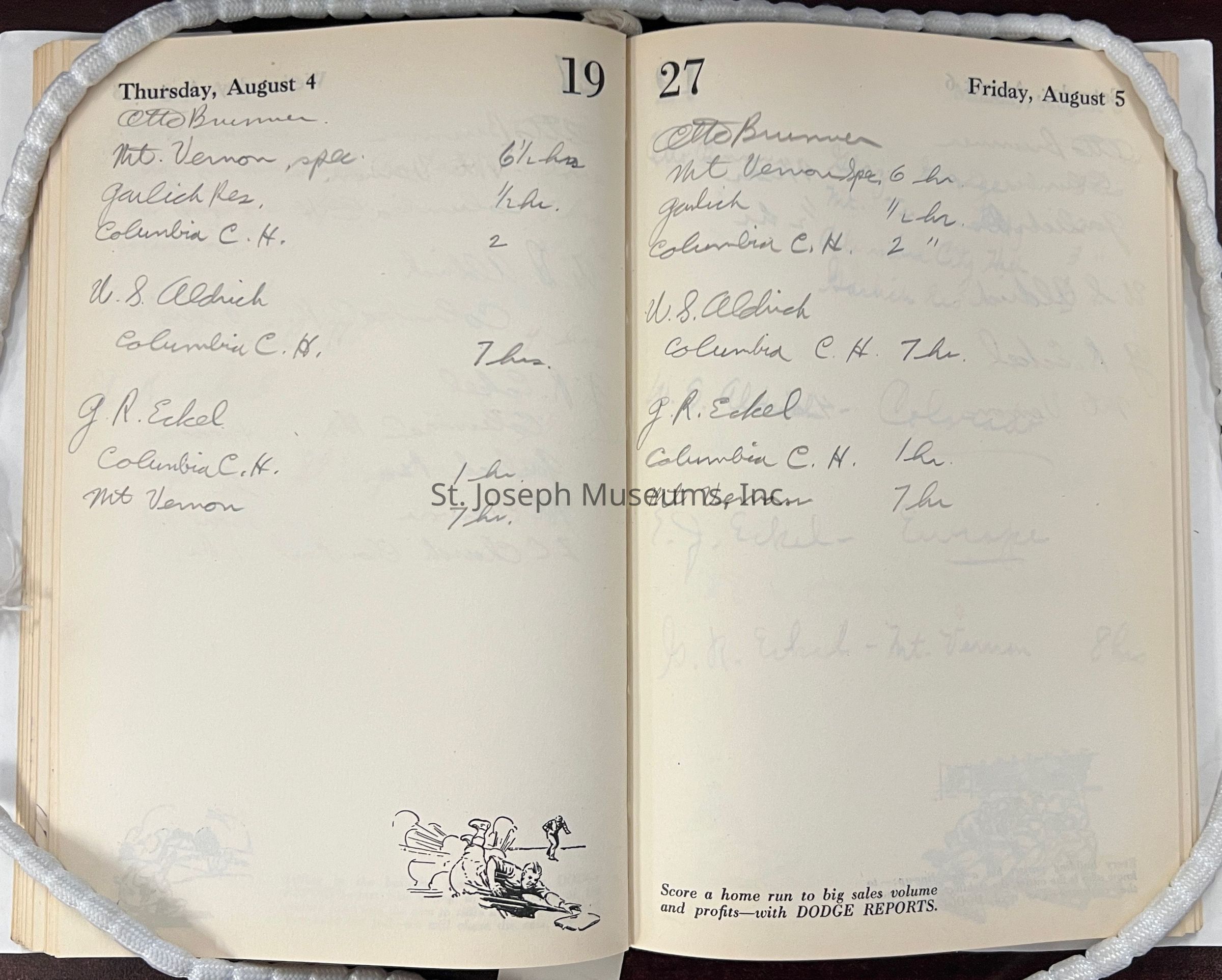
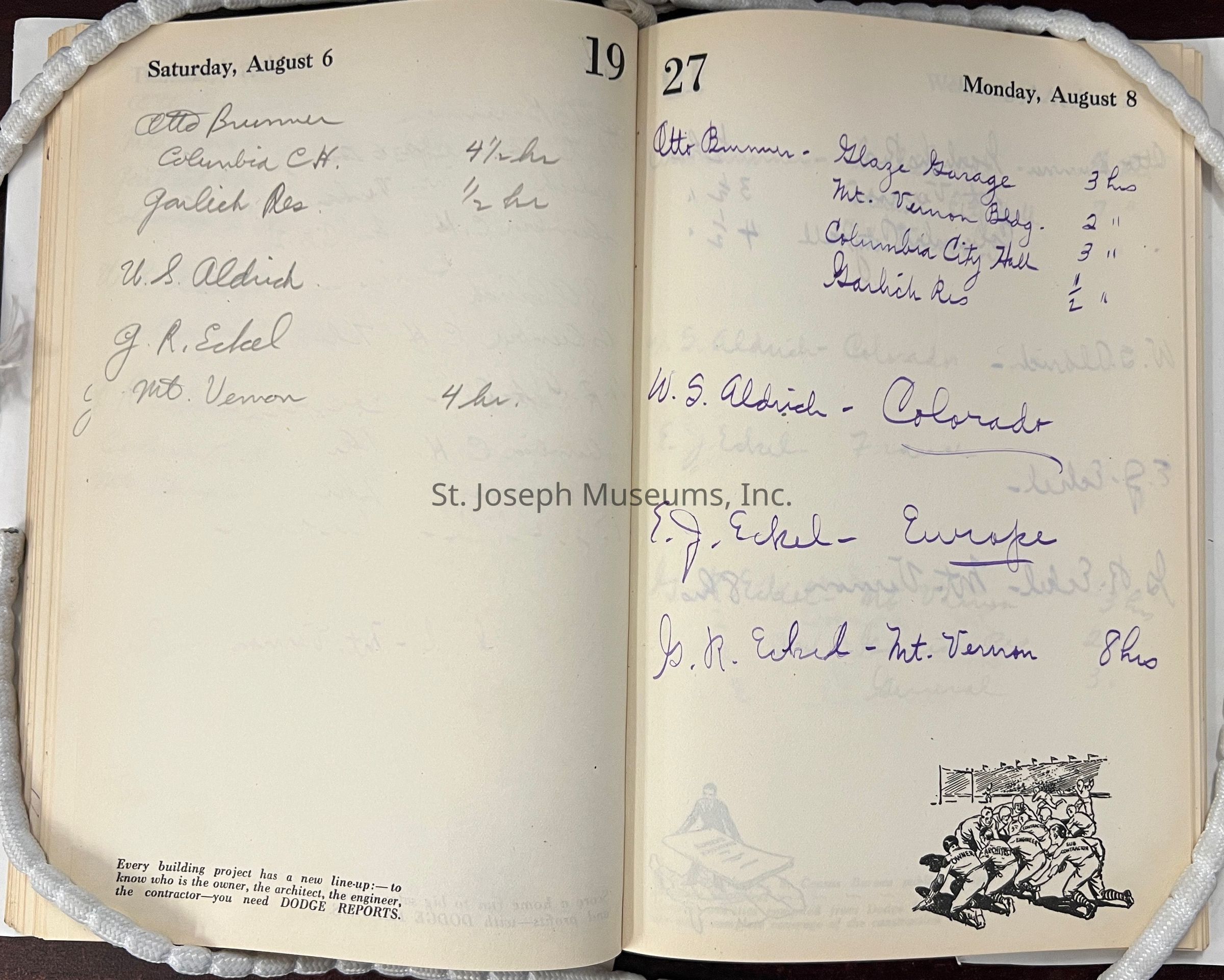
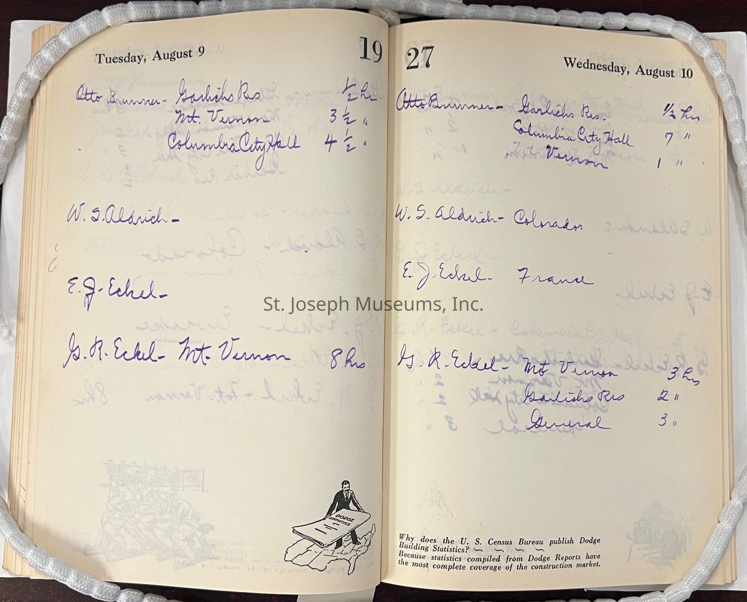
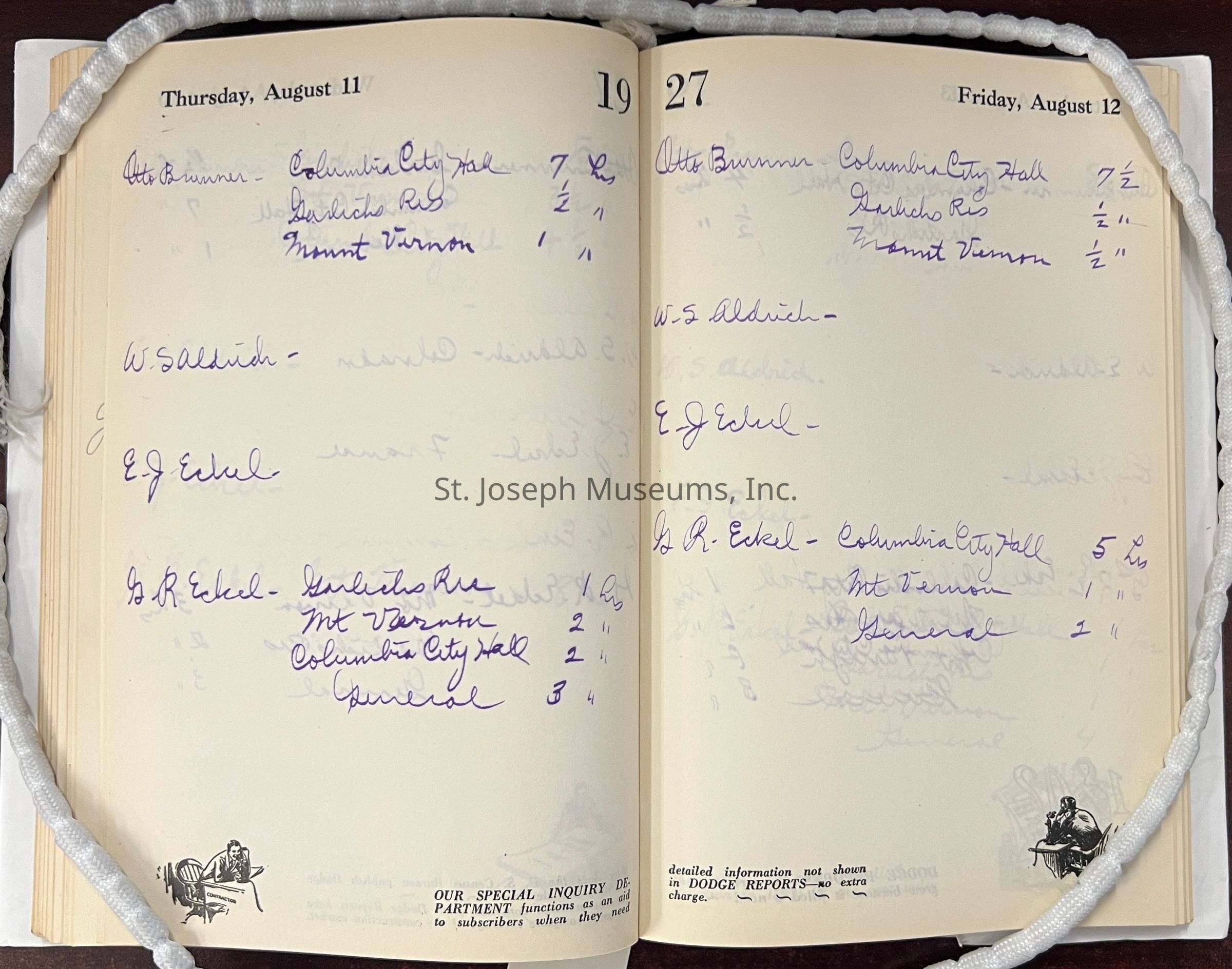
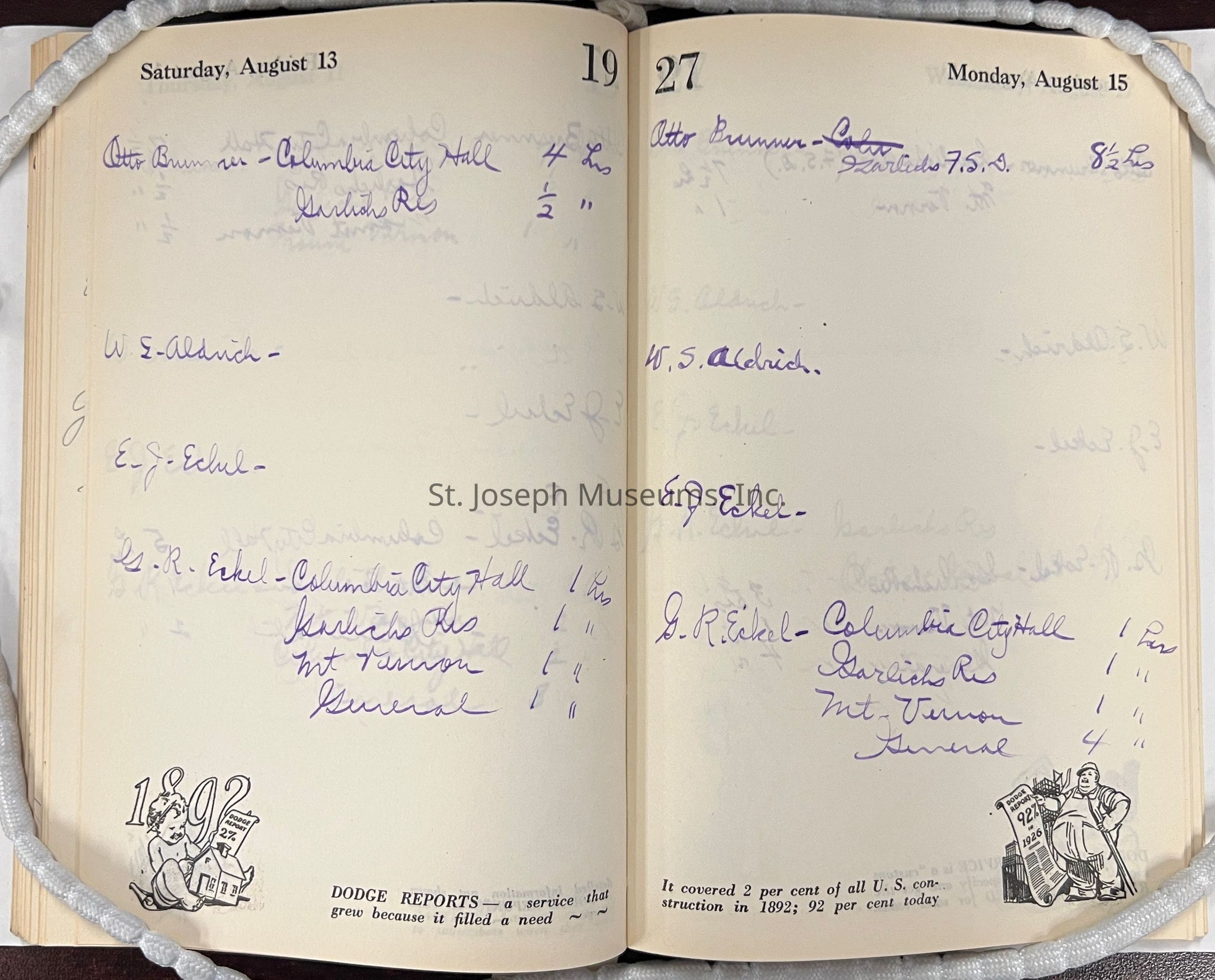
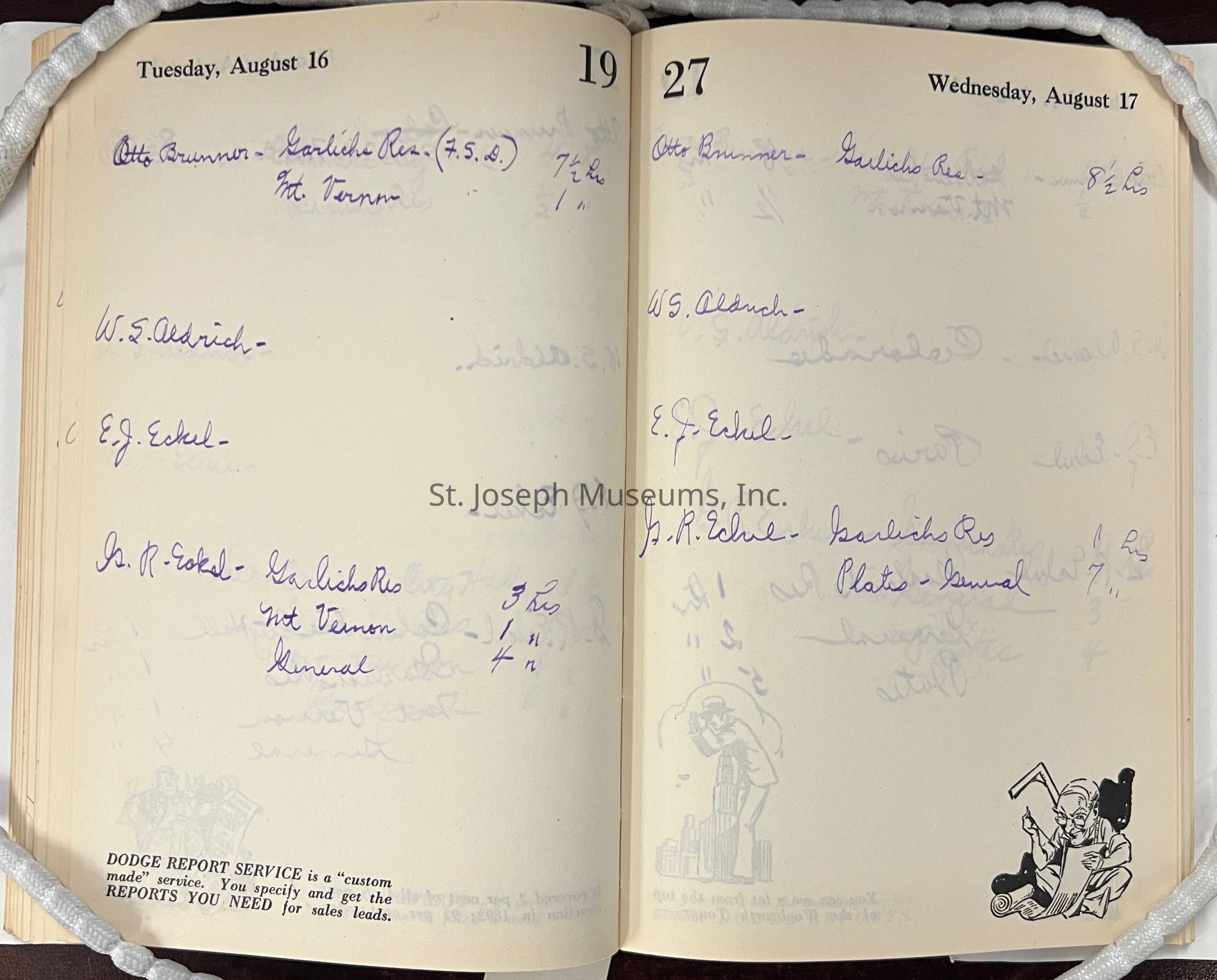
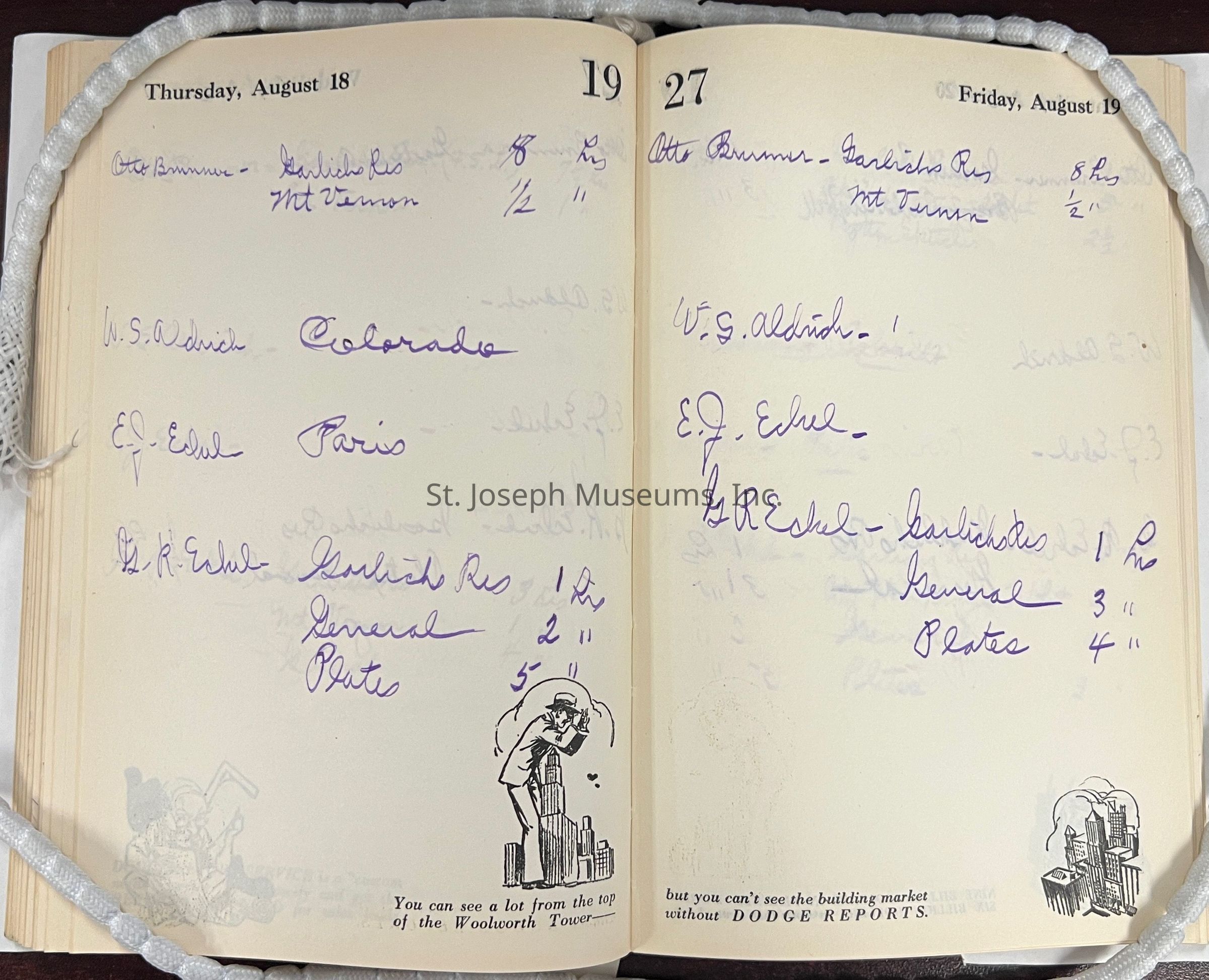
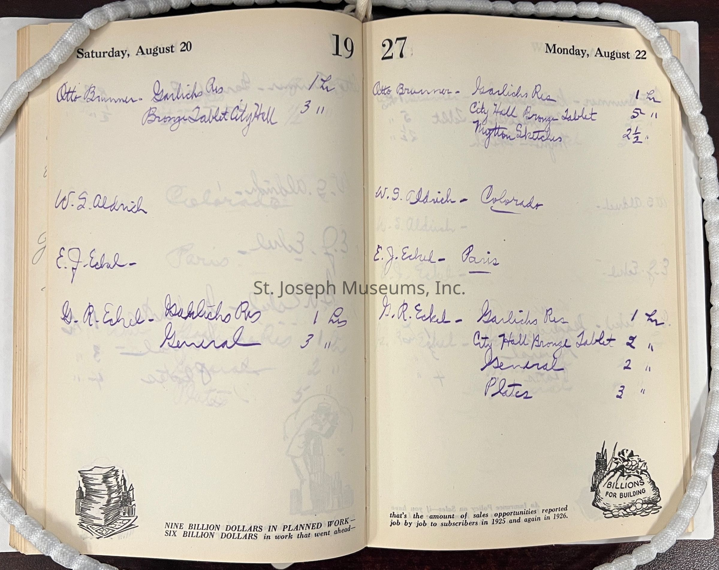
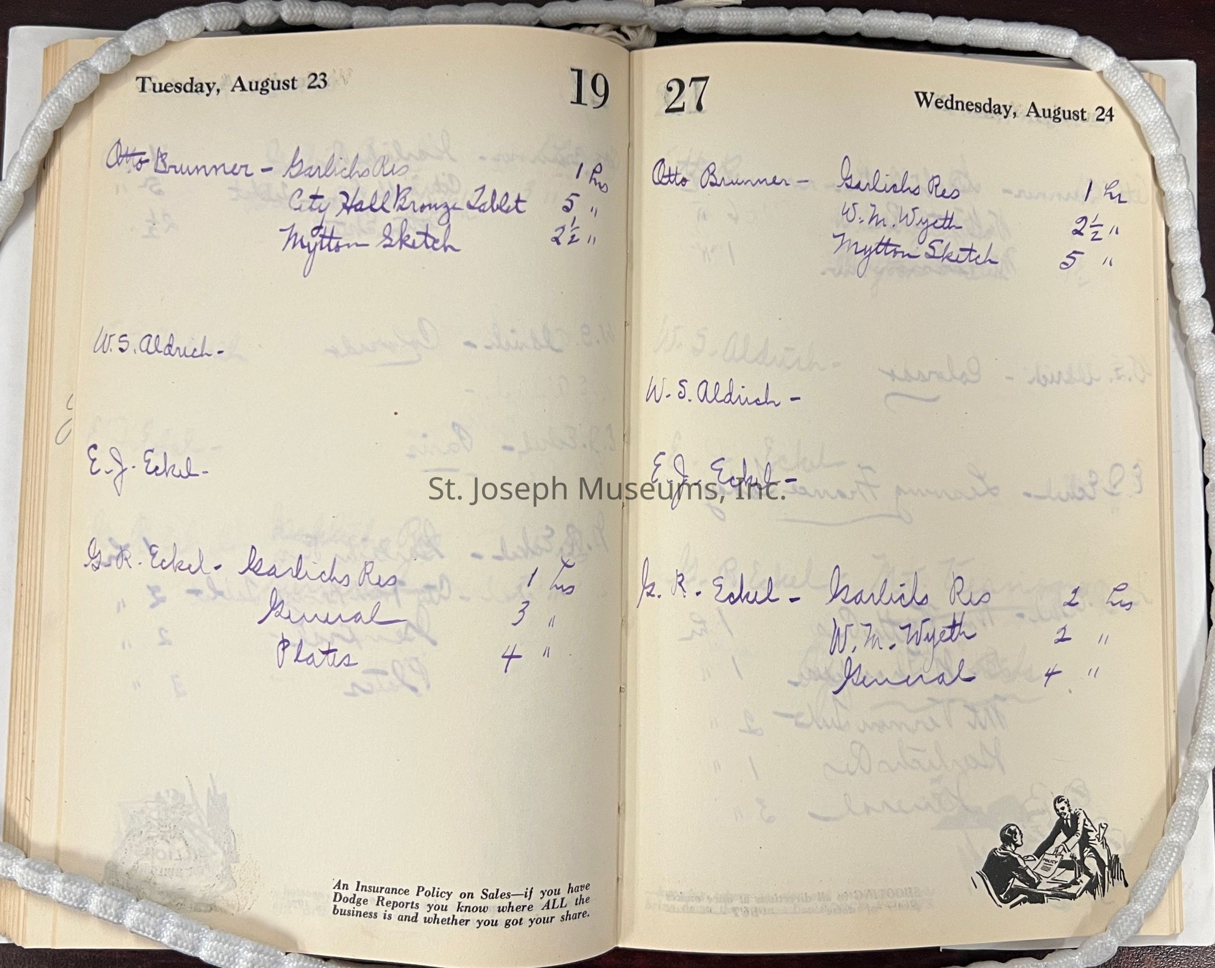
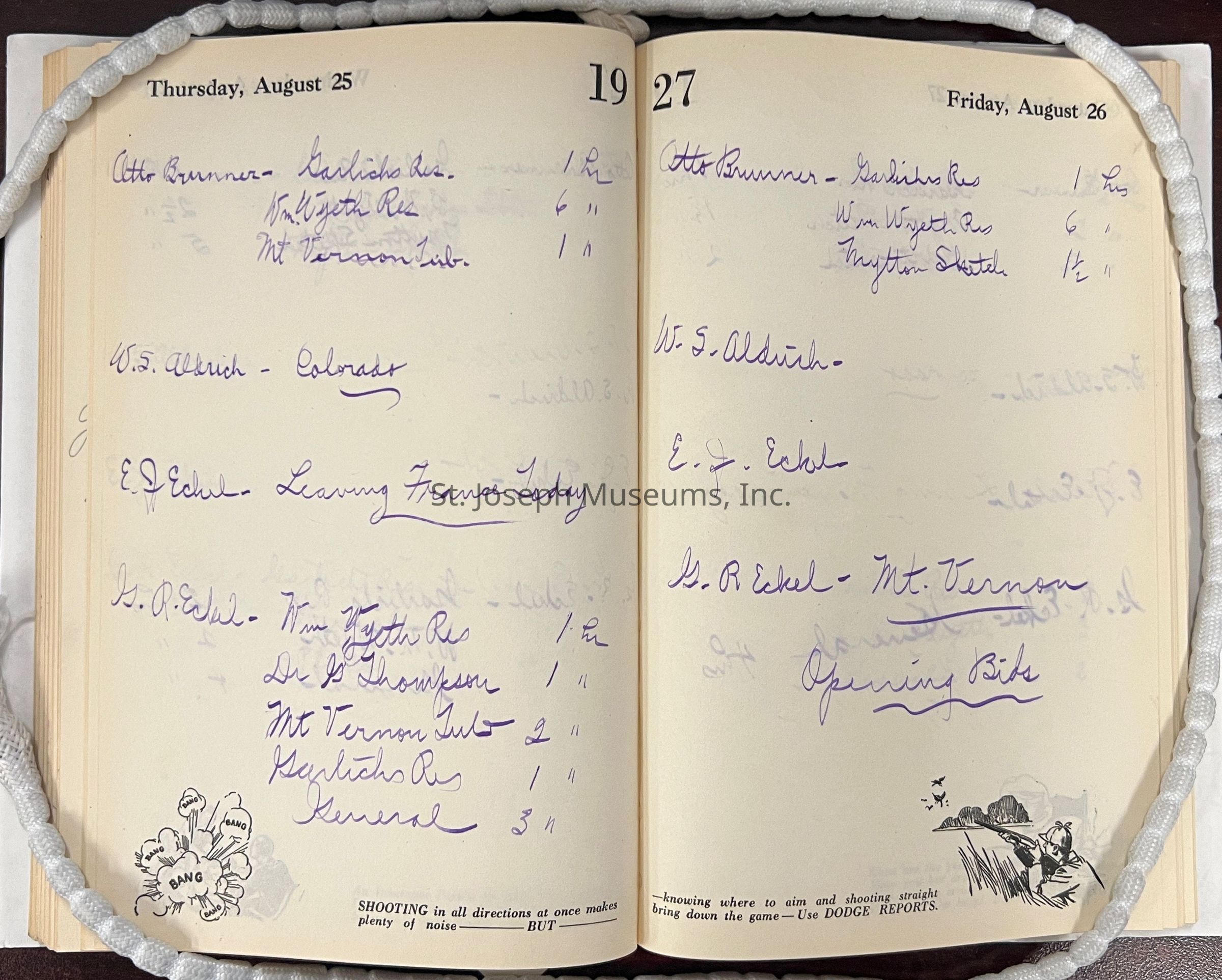
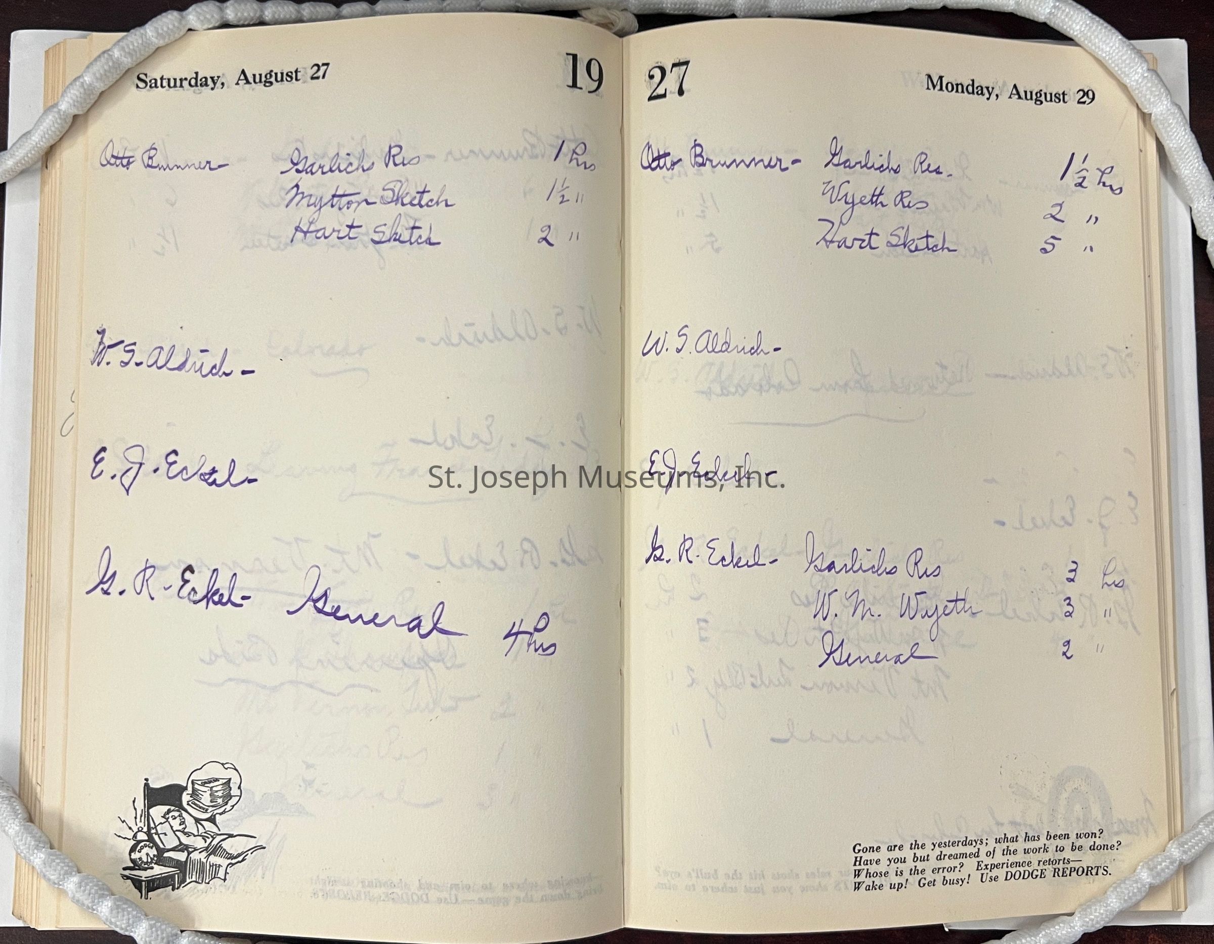
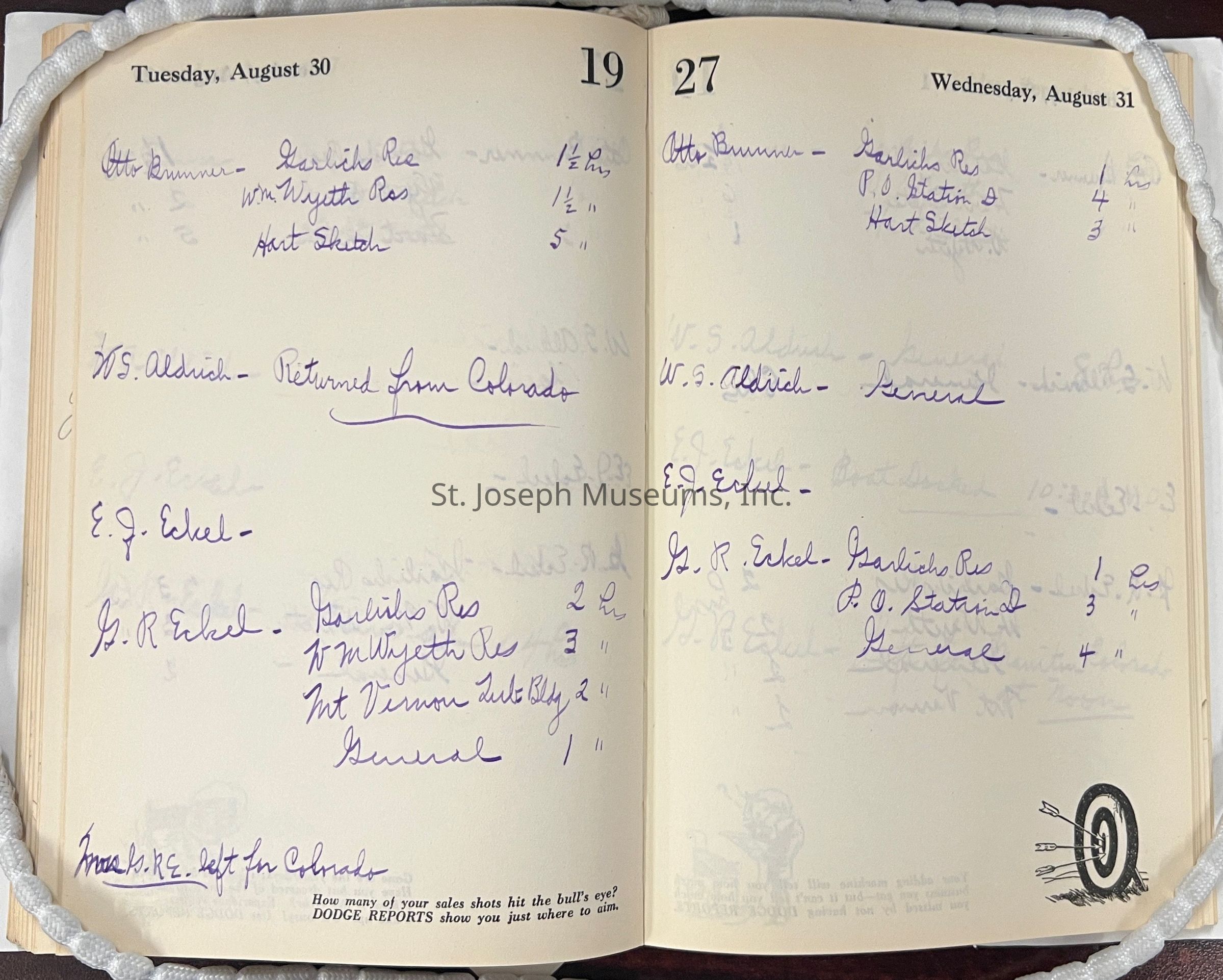
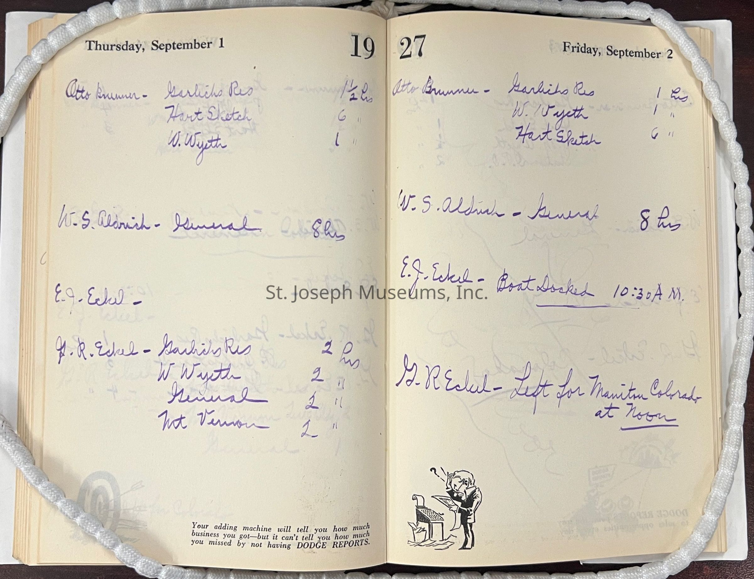
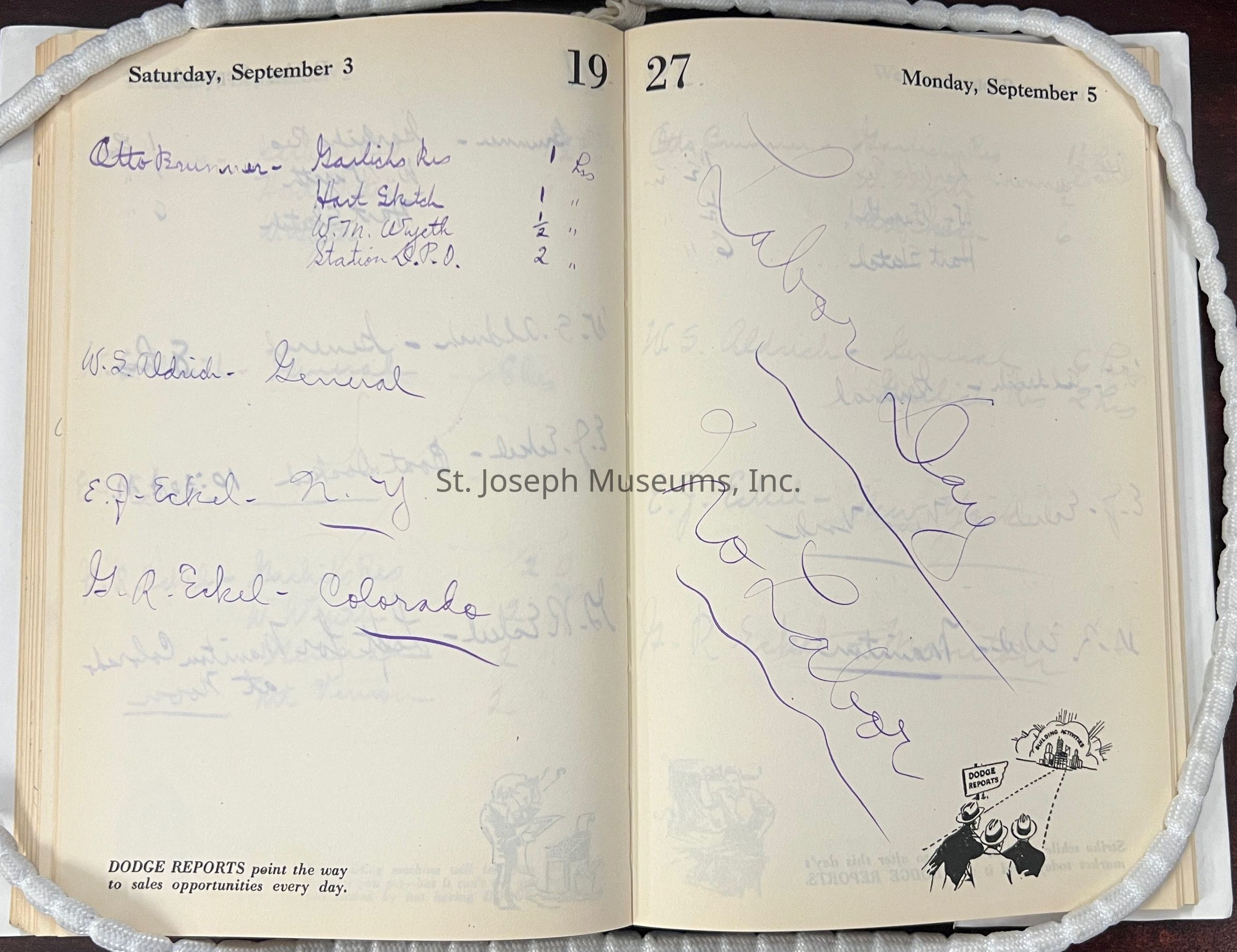
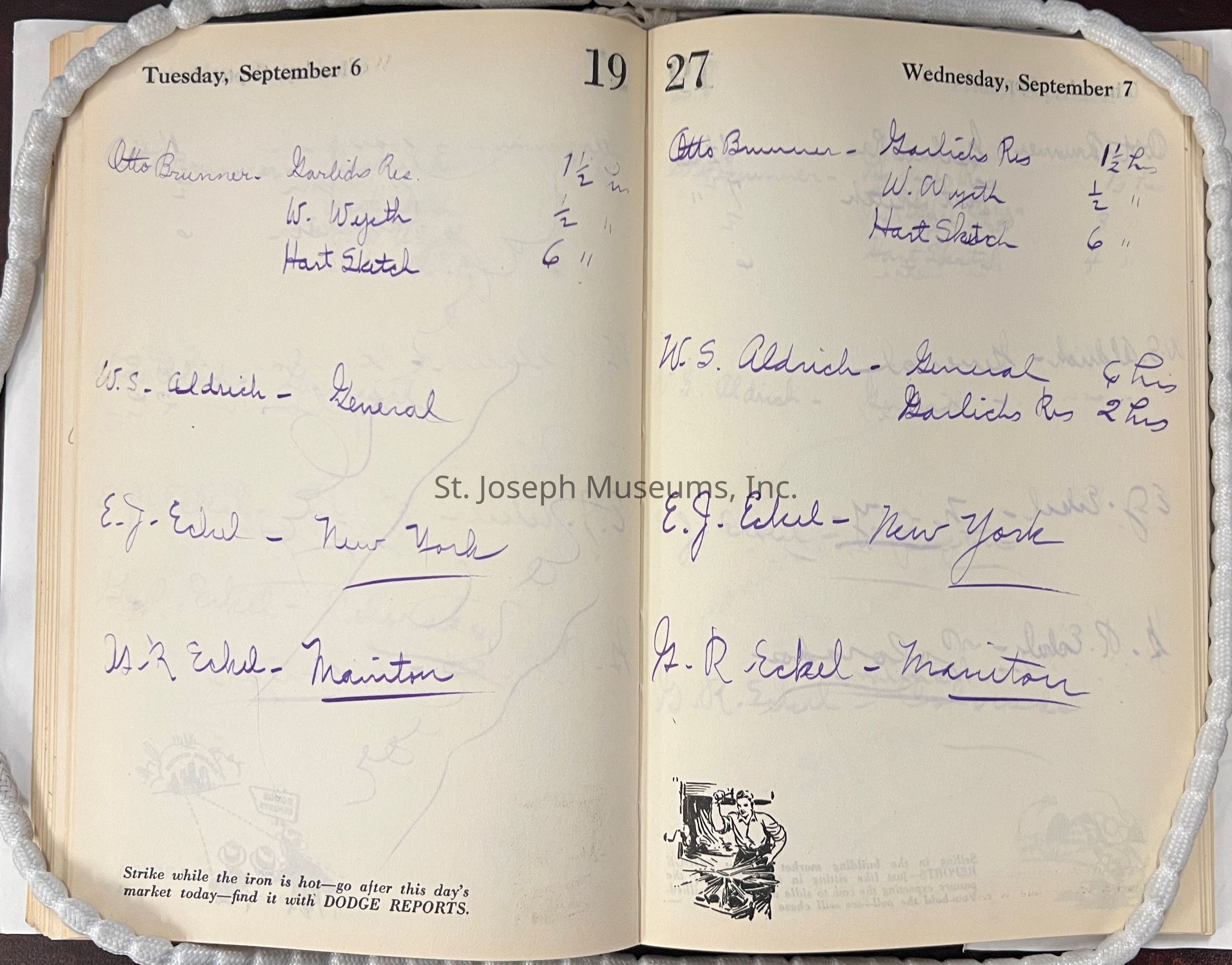
Eckel Time Book, 1927
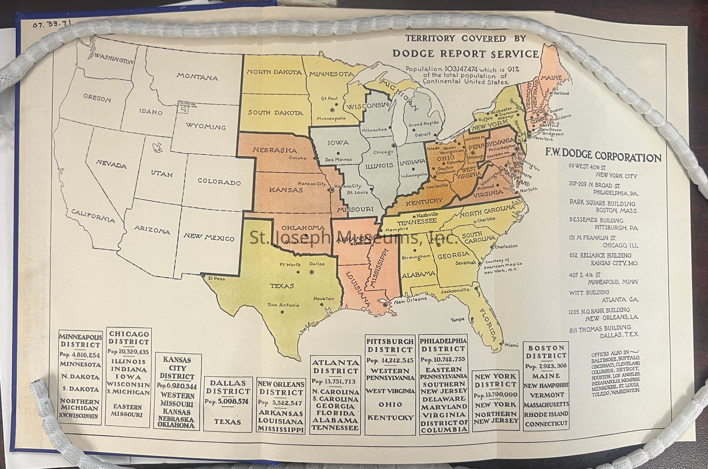
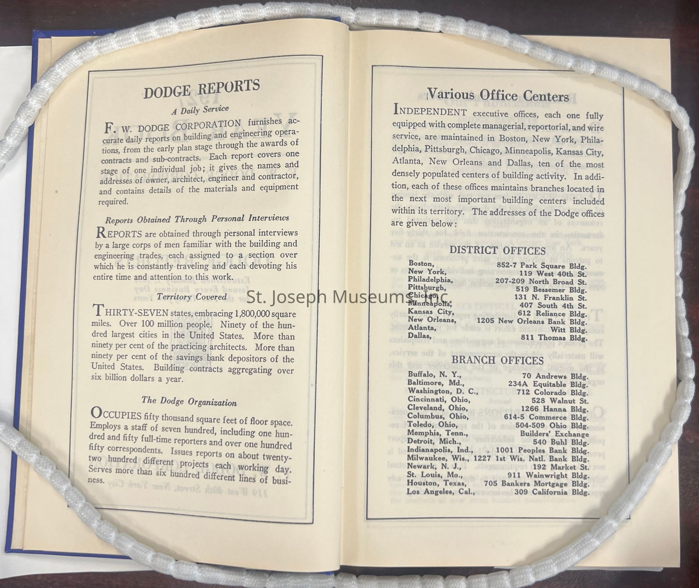
The image displays a detailed map illustrating the territory covered by the Dodge Report Service, highlighting various regions in the United States with distinct colors and labels. The map includes population statistics for specific districts such as the Minneapolis, Chicago, Kansas City, Dallas, New Orleans, Atlanta, Pittsburgh, Philadelphia, New York, and Boston districts. Accompanying the map is a list of F.W. Dodge Corporation's office locations, providing addresses for cities like New York, Philadelphia, Boston, Pittsburgh, Chicago, Kansas.