Expeditions of John Charles Fremont Map Portfolio

Name/Title

Expeditions of John Charles Fremont Map Portfolio

Entry/Object ID

L1996.16.127

Description

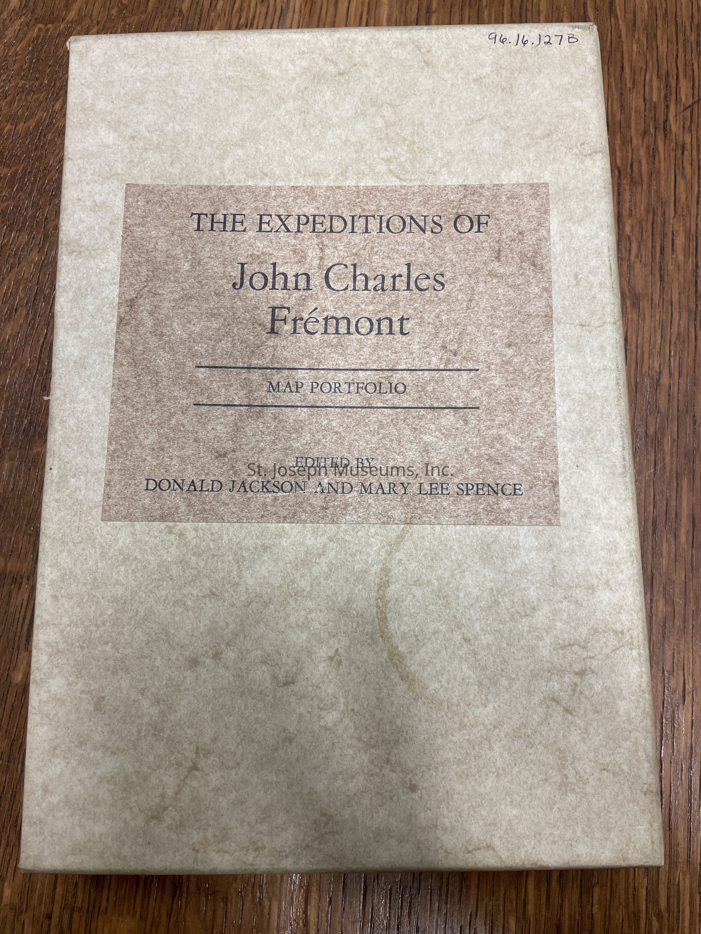
Expeditions of John Charles Fremont Map Portfolio contains five maps covering the area from Lake Superior to the northern California and Oregon and Washington coasts. Map #4 is in seven parts beginning at the mouth of the Kansas River and ending at the mouth of the Walla Walla. It also contains commentary by Donald Jackson. 16/Hardbound/Maps
Lexicon

Nomenclature 4.0

Nomenclature Primary Object Term

Book

Nomenclature Sub-Class

Other Documents

Nomenclature Class

Documentary Objects

Nomenclature Category

Category 08: Communication Objects

LOC Thesaurus for Graphic Materials

Maps, Exploration

Search Terms

Fremont, John C.

Book Details

Author

Jackson, Donald and Mary Lee Spence

Place Published

City

Urbana

State/Province

Illinois

Date Published

1970

Call No.

Western JA

LCCN

73-100374

Notes

Copy No.: 1

Condition

Overall Condition

Excellent

Relationships

Related Person or Organization

Person or Organization

John C. Fremont