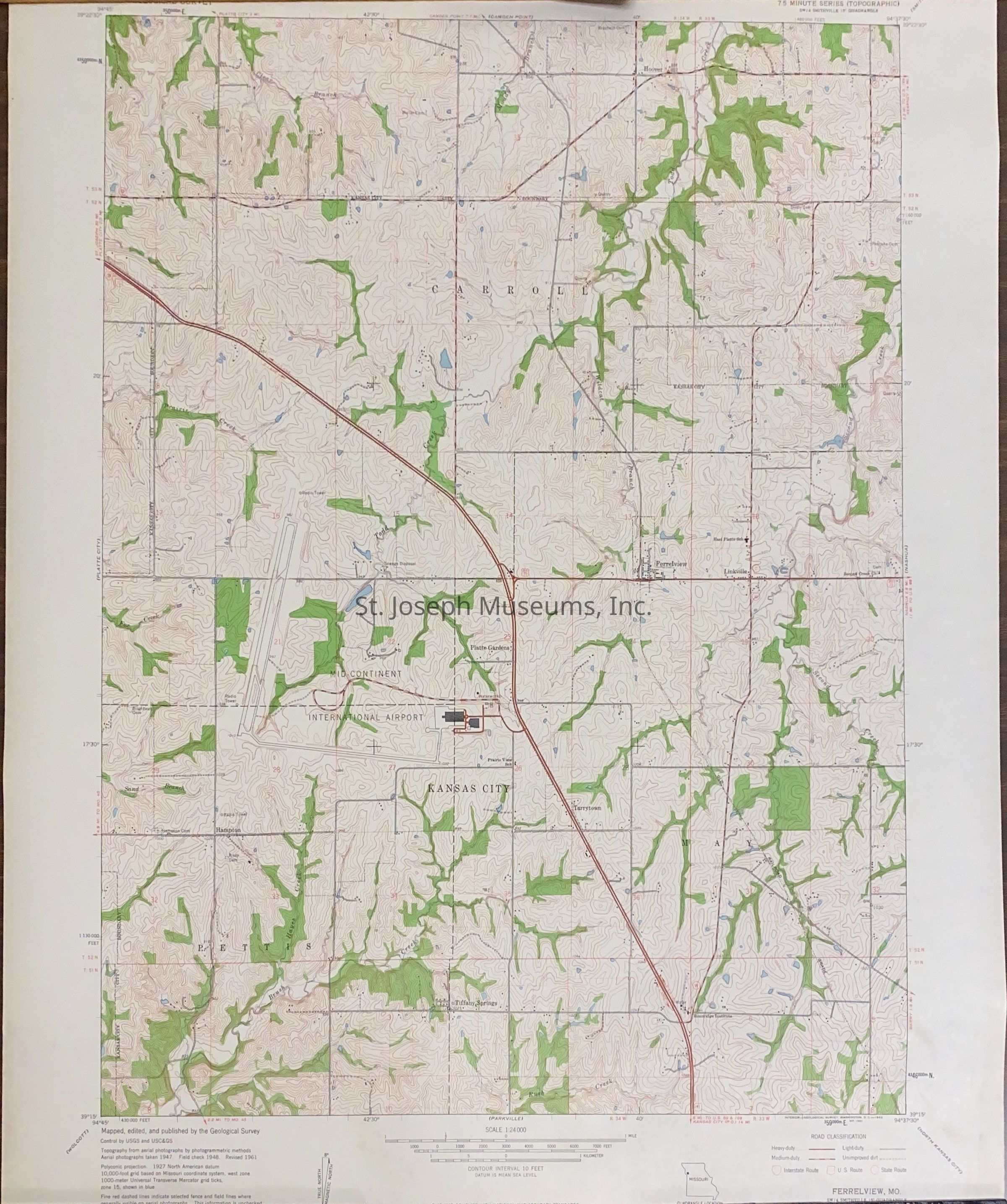
Ferrelview Quadrangle, Missouri--Platte County, Map, 1961
Entry/Object ID
AM2012.21.471
Scope and Content
Ferrelview Quadrangle, Missouri--Platte County, Map, 1961. Topographical map of portions of Platte County along I-29 past International Airport site. 7.5 minute series.
Lexicon
Nomenclature 4.0
Nomenclature Secondary Object Term
Map
Nomenclature Primary Object Term
Cartograph
Nomenclature Sub-Class
Graphic Documents
Nomenclature Class
Documentary Objects
Nomenclature Category
Category 08: Communication Objects
LOC Thesaurus for Graphic Materials
Archaeology, Maps
Search Terms
Ferrelview Quadrangle, Fisher, Michael, Platte County, Missouri