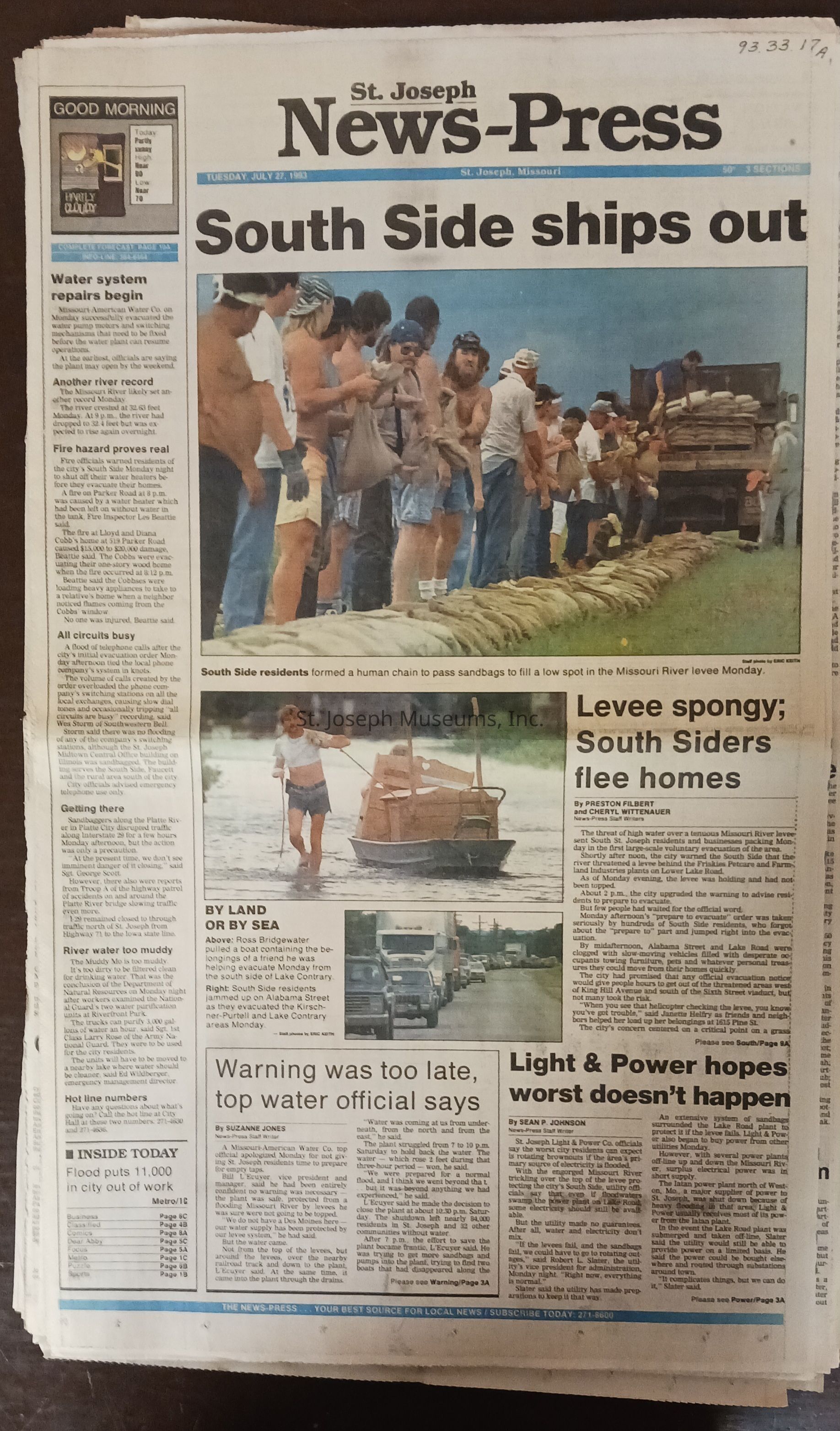
Flood 1993, St. Joseph News-Press, July 27, 1993
South Side residents ships out.
News Photo: South Side residents formed a human chain to pass sandbags to fill a low spot in the Missouri River levee Monday.
News Photo: Ross Bridgewater pulled a boat containing the belongings of a friend he was helping evacuate Monday from the south side of Lake Contrary
News Photo: South Side residents jammed up on Alabama Street as they evacuated the Kirschner-Purtell and Lake Contary areas Monday.
News Photo: The Iatan power plant south of St. Joseph was in the middle of a sea of muddy floodwater from the Missouri River . The Missouri River can be seen along the bottom. The view is to the east with the Missouri on Sunday afternoon. The Missouri River can be seen along the bottom. The view is to the east with the Missouri River bluffs in the background
News Photo; Diana Sowards, with 3-month-old Donald Lee Kelly, shows the strain of waiting at a shelter at Benton High-School.
News Photo: Richard Norris used a long pole to measure the depth of water from the top of a sandbag wall on Monday afternoon, the wall was built to extend the north end of the South Side levee behind Artesian ice and Cold Storage and just south of Whitehead Creek. The depth of the water was more than 6 feet. City Crews were reinforcing the wall Monday afternoon and evening.
Lexicon
Nomenclature 4.0
Nomenclature Secondary Object Term
Newspaper
Nomenclature Primary Object Term
Serial
Nomenclature Sub-Class
Other Documents
Nomenclature Class
Documentary Objects
Nomenclature Category
Category 08: Communication Objects
Search Terms
Flood, 1993, Missouri River, Missouri River Flood, Flood Evacuation, 1993, Flood Shelters, 1993