Name/Title
Flood of 1951, Missouri River, Aerial Snapshots (8), July 14, 1951Entry/Object ID
P2003.14.64Description
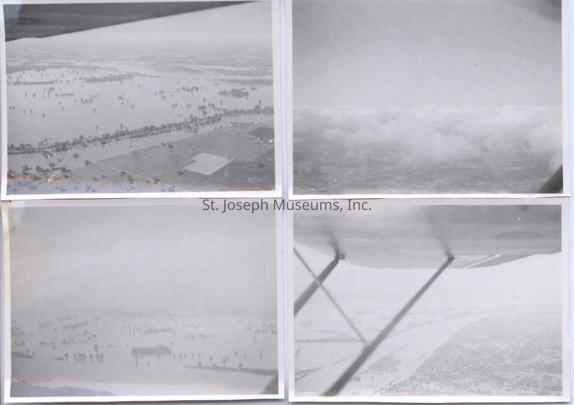
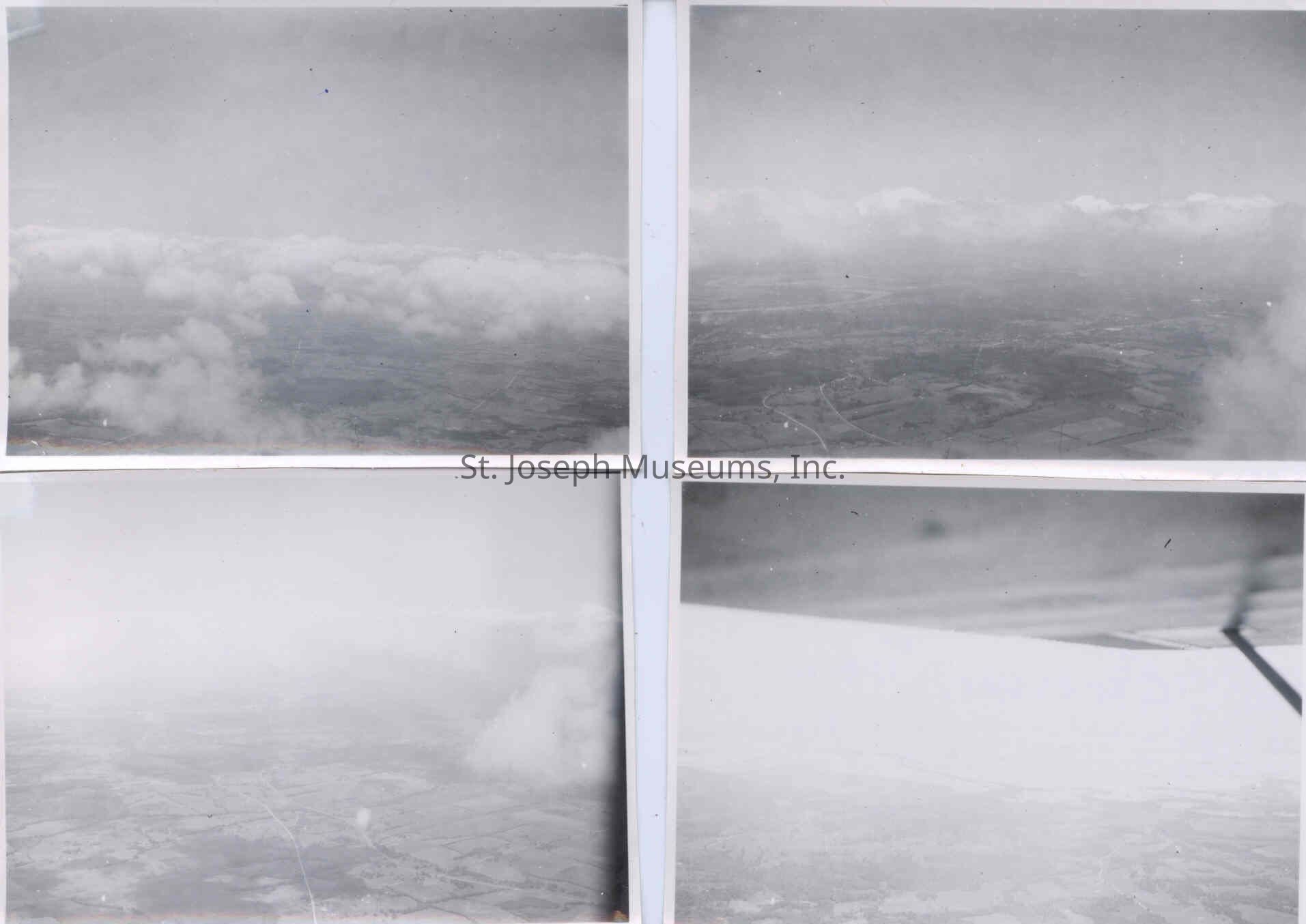
Flood of 1951, Missouri River, Aerial Snapshots (8), July 14, 1951. b/w. Small aerial photos of the flooded area resulted from the floods of the Kaw River in Kansas, pushing flood waters in to the Missouri River at Kansas City. The flood effect was mainly felt on the Missouri from Kansas City to St. Louis, and not as much in the St. Joseph area.
03.14.64 = Flooded land as seen from plane. Handwritten on back: "Flood Stages, MO. 7-14-51, St. Louis Trip to Pick Up Valves."
03.14.65 = Photo of clouds and flooded area below, not very clear. Handwritten on back: "Flood and Clouds"
03.14.66 = Flooded land as seen from plane, not very clear. Handwritten on back: "Flood Stages"
03.14.67 = River and flooded surroundings as seen from under plane wing, not very clear. Handwritten on back: "Lexington, Mo. at 2000"
03.14.68-69 = Clouds and land below, not clear. Handwritten on back: "St. Joe, 5000, 7-14-51"
03.14.70 = Aerial view of land through fog. Handwritten on back: "Above Clouds".
03.14.71 = Foggy view of land below. Handwritten on back: "Mo River at Excelsior (sic) Springs, Mo., 7-14-51"
Original digital scan located on History CD 20Lexicon
Nomenclature 4.0
Nomenclature Secondary Object Term
Print, PhotographicNomenclature Primary Object Term
PhotographNomenclature Sub-Class
Graphic DocumentsNomenclature Class
Documentary ObjectsNomenclature Category
Category 08: Communication ObjectsLOC Thesaurus for Graphic Materials
FloodsSearch Terms
Missouri River, Missouri River Flood, 1951Dimensions
Dimension Notes
Printsize: 3¼" x 2¼"Provenance
Notes
Photos taken by donor's father, himself a pilot, who housed a small plane at Rosecrans Field during his temporary stay in St. Joseph superintending power plant installations. He was present in St. Joseph during the Flood of 51.