Floods of July 18-23, 1965 in Northwestern Missouri

Name/Title

Floods of July 18-23, 1965 in Northwestern Missouri

Entry/Object ID

L9999.999.5118

Description

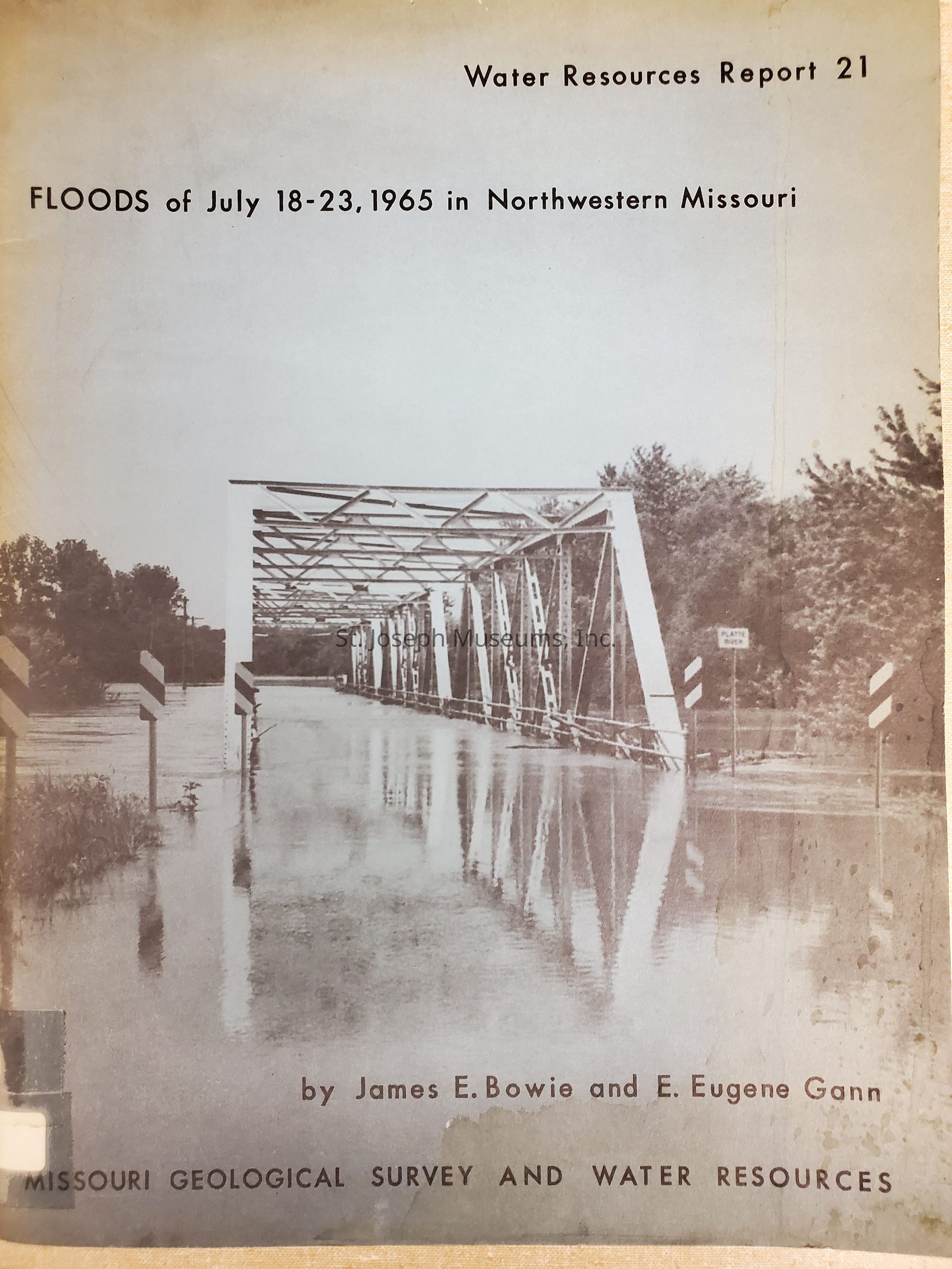
Floods of July 18-23, 1965 in Northwestern Missouri. Comprehensive report by Hydraulic Engineers concerning the widespread 1965 flood. Includes description of storms, floods, flood damage, flood stages and flood discharges. This flood was a result of more than 20 inches of rain falling in a three-day period over Northwest Missouri. The streams affected are listed at the end of this description. Includes: Map showing affected area. Storm precipitation Peak discharges Photos of: Smithville business district Grove Creek near Edgerton Agency, MO near flood crest Tracy, MO, Hwy 92 & I-29 Mosby, MO floodwaters Streams affected: Rock Creek Tarkio River Nodaway River Platte River Line Creek Fishing River Crooked River Wakenda Creek Lamine River Missouri River 103/Softbound/Photographs/Tables

Lexicon

Nomenclature 4.0

Nomenclature Primary Object Term

Book

Nomenclature Sub-Class

Other Documents

Nomenclature Class

Documentary Objects

Nomenclature Category

Category 08: Communication Objects

LOC Thesaurus for Graphic Materials

Floods

Search Terms

Flooding in Northwest Missouri, 1965, Agency, Missouri, One Hundred and Two River, Platte River, Nodaway River, Tarkio River, Missouri River, Smithville, Missouri, Edgerton, Missouri, Tracy, Missouri, Flood of 1965, Northwest Missouri Flood 1965
Book Details

Author

James E. and E. Eugene Gann Bowie

Place Published

City

Rolla

State/Province

Missouri

Date Published

1967

Call No.

Geology BO

Condition

Overall Condition

Fair

Maintenance

Maintenance History

Date

Jun 20, 2011