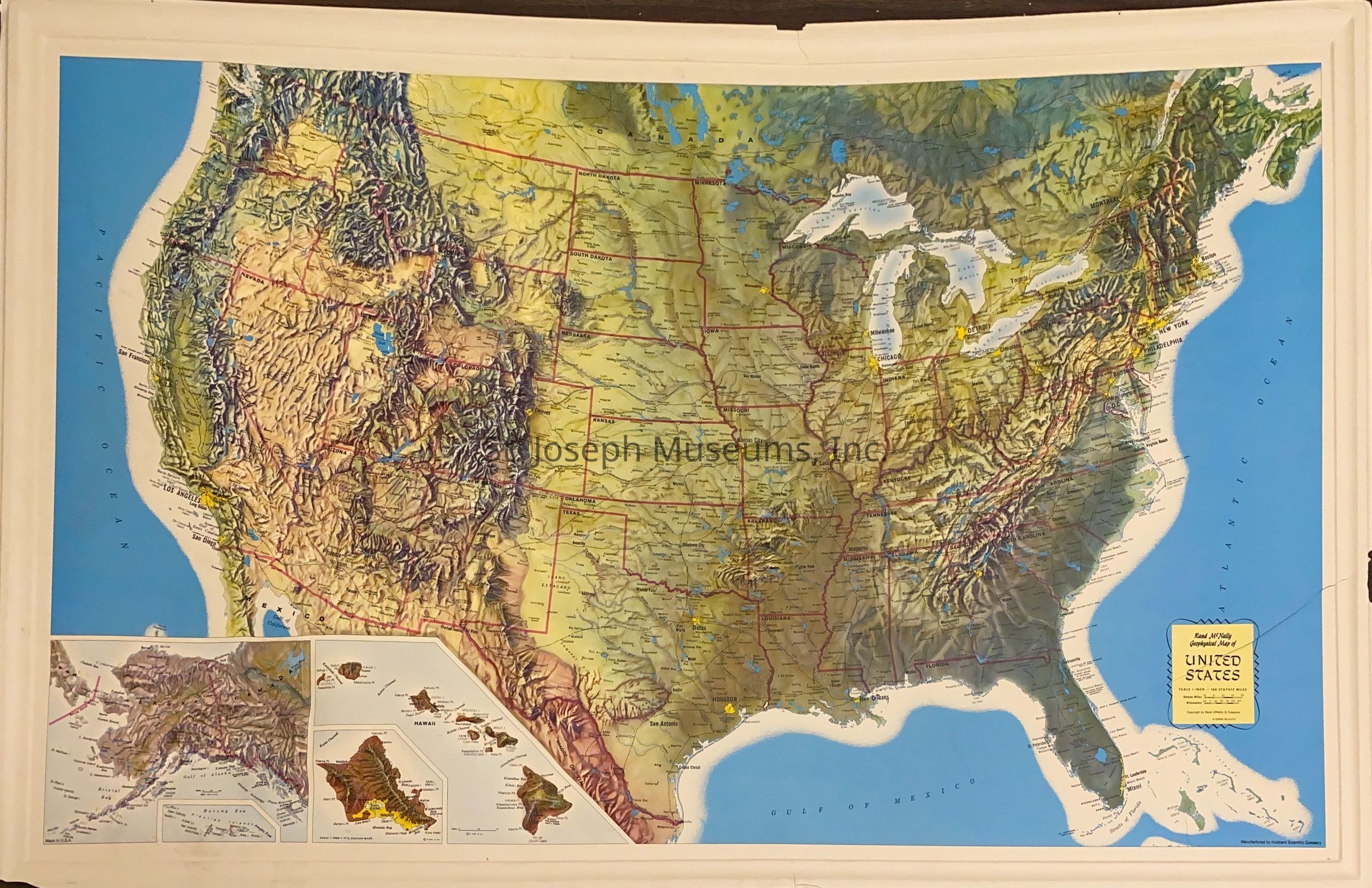
Geophysical Relief Map of the United States, Rand McNally, c. 1970
Entry/Object ID
AM2020.1.269
Scope and Content
Geophysical Relief Map of the United States, Rand McNally, c. 1970. Plastic relief map of the entire United States. Shows the terrain, railroad traversing the area. Used by SJM to establish route of Pony Express,
Produced by: Hubbard Scientific. Undated but included with a number of relief maps dated in 1960s & 1970.