Historical Atlas of Kansas

Name/Title

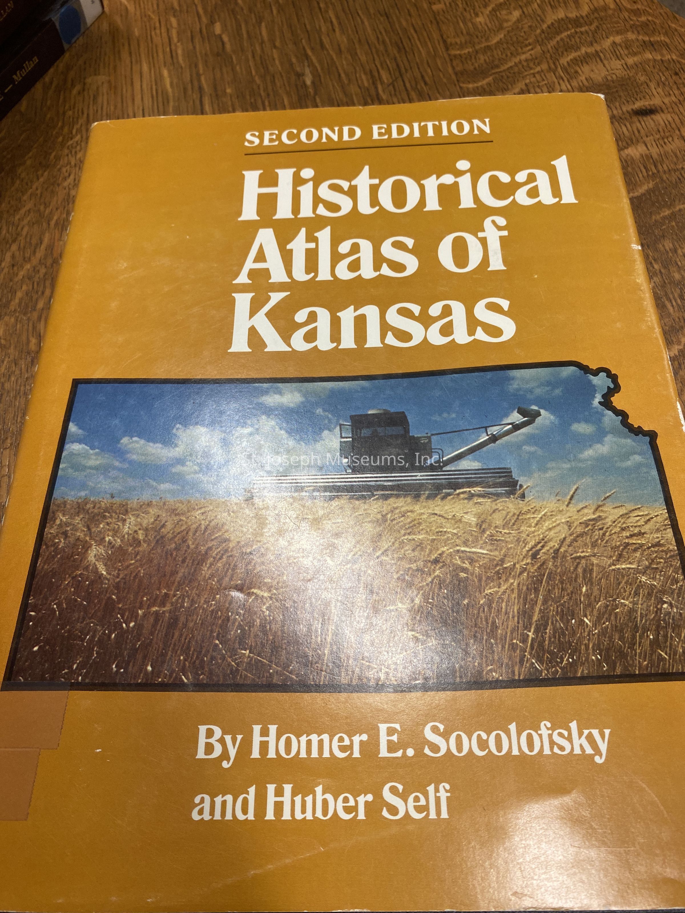
Historical Atlas of Kansas

Entry/Object ID

1989.1.268

Description

The Historical Atlas of Kansas is a compilation of maps showing the lay of the land and its character and use, the travel routes and trails west, the location of population concentrations, and the gradual unfolding of economic and political development. It begins with the Spanish and French explorers in the 16th-18th centuries and continues to the present day. 100/Hardbound/Maps
Lexicon

Nomenclature 4.0

Nomenclature Primary Object Term

Book

Nomenclature Sub-Class

Other Documents

Nomenclature Class

Documentary Objects

Nomenclature Category

Category 08: Communication Objects

LOC Thesaurus for Graphic Materials

Exploration

Search Terms

Kansas - Historical geography-Maps, Self, Huber, Survey History, Western Migration, Kansas History, Spanish Explorers

Book Details

Author

Socolofsky, Homer E. and Huber Self

Place Published

City

Norman

State/Province

Oklahoma

Date Published

1988

Call No.

Western SO

ISBN

0-8061-2157-2

LCCN

88-40209

Notes

Copy No.: 1

Condition

Overall Condition

Excellent