Name/Title
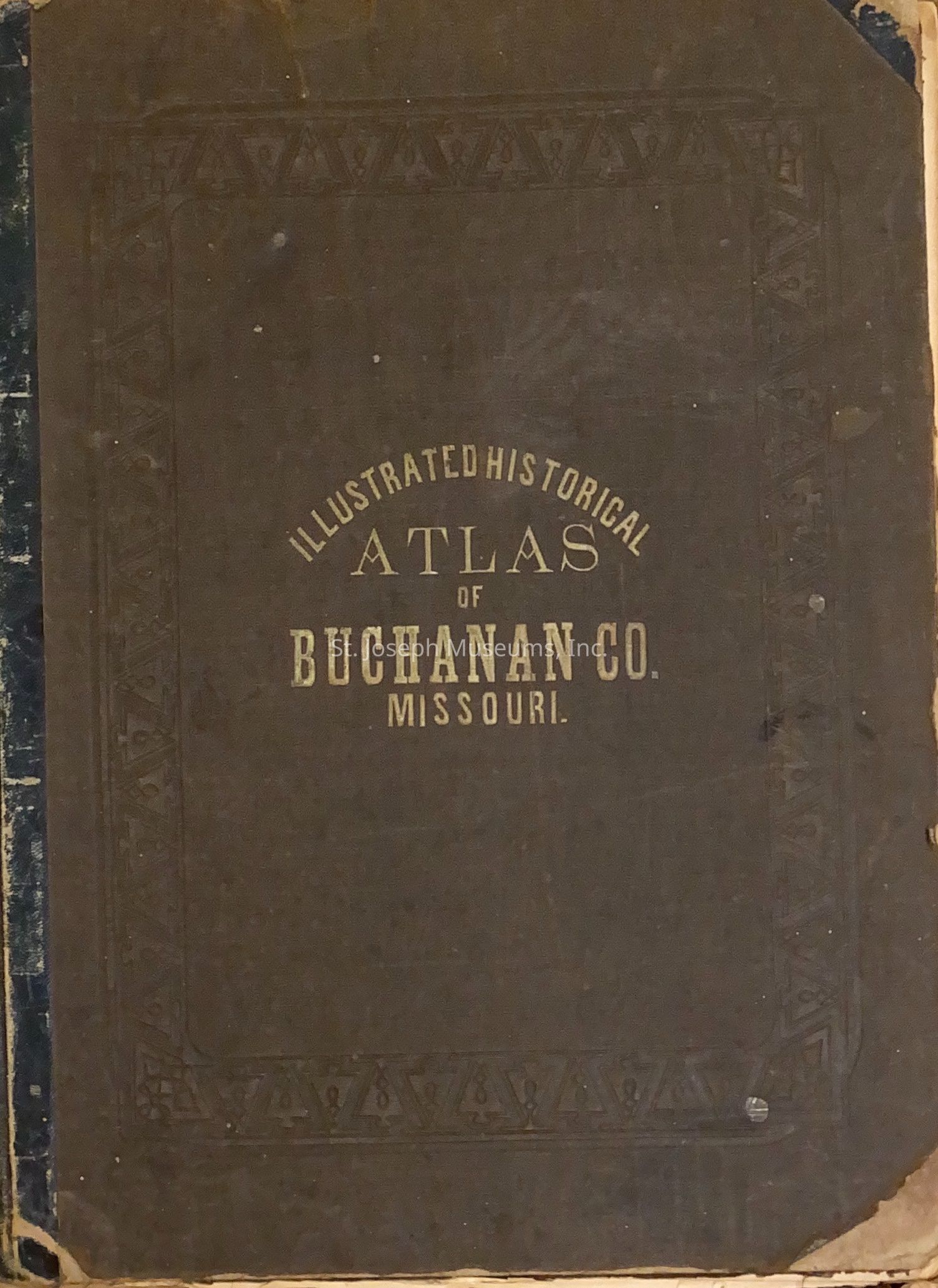
Illustrated Historical Atlas Map - Buchanan County, Missouri, 1876Entry/Object ID
L1964.26.22Description
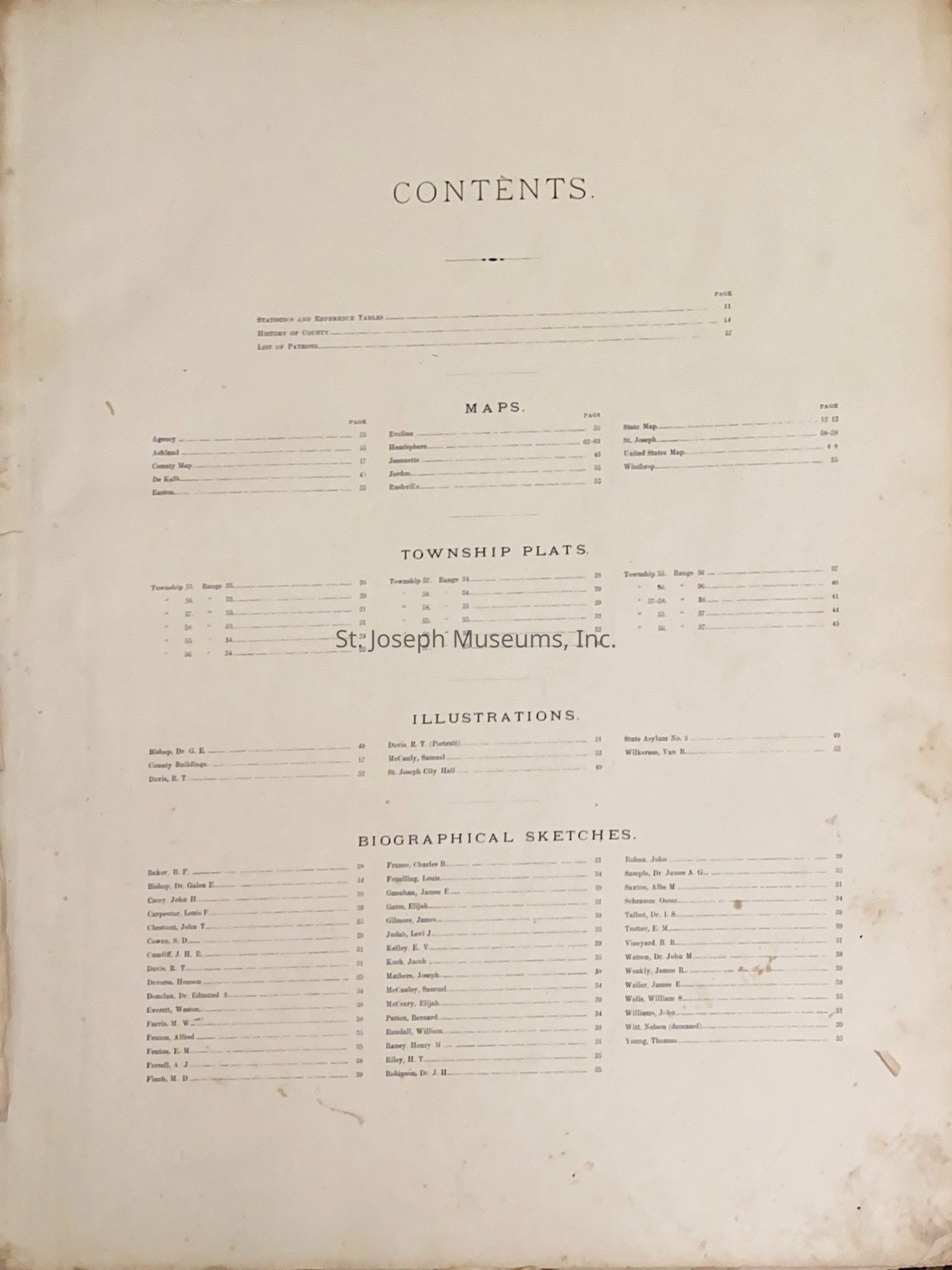
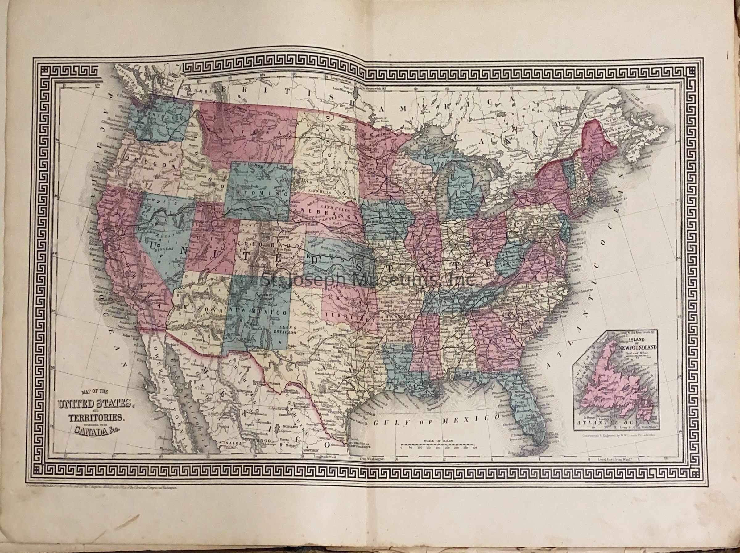
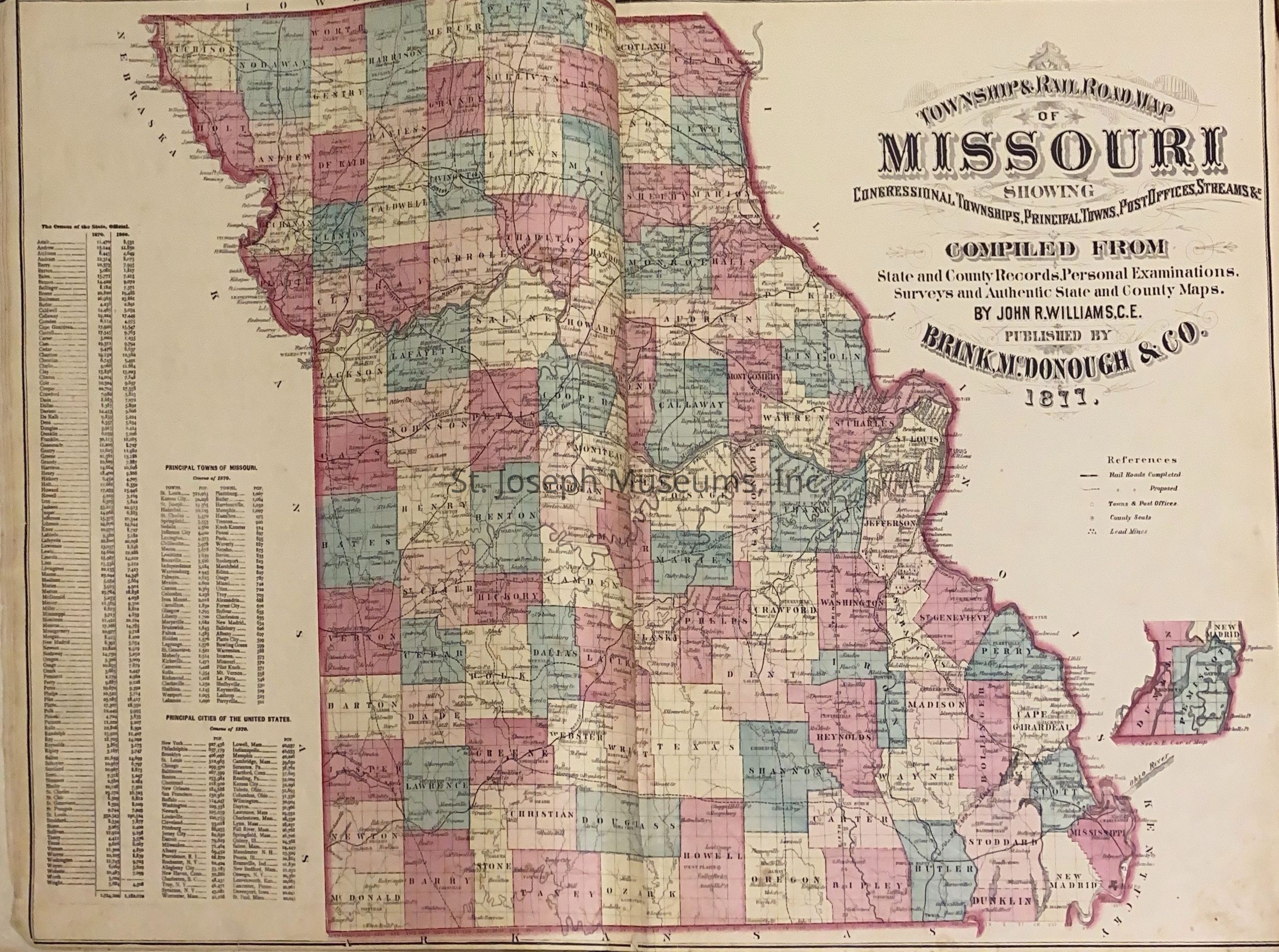
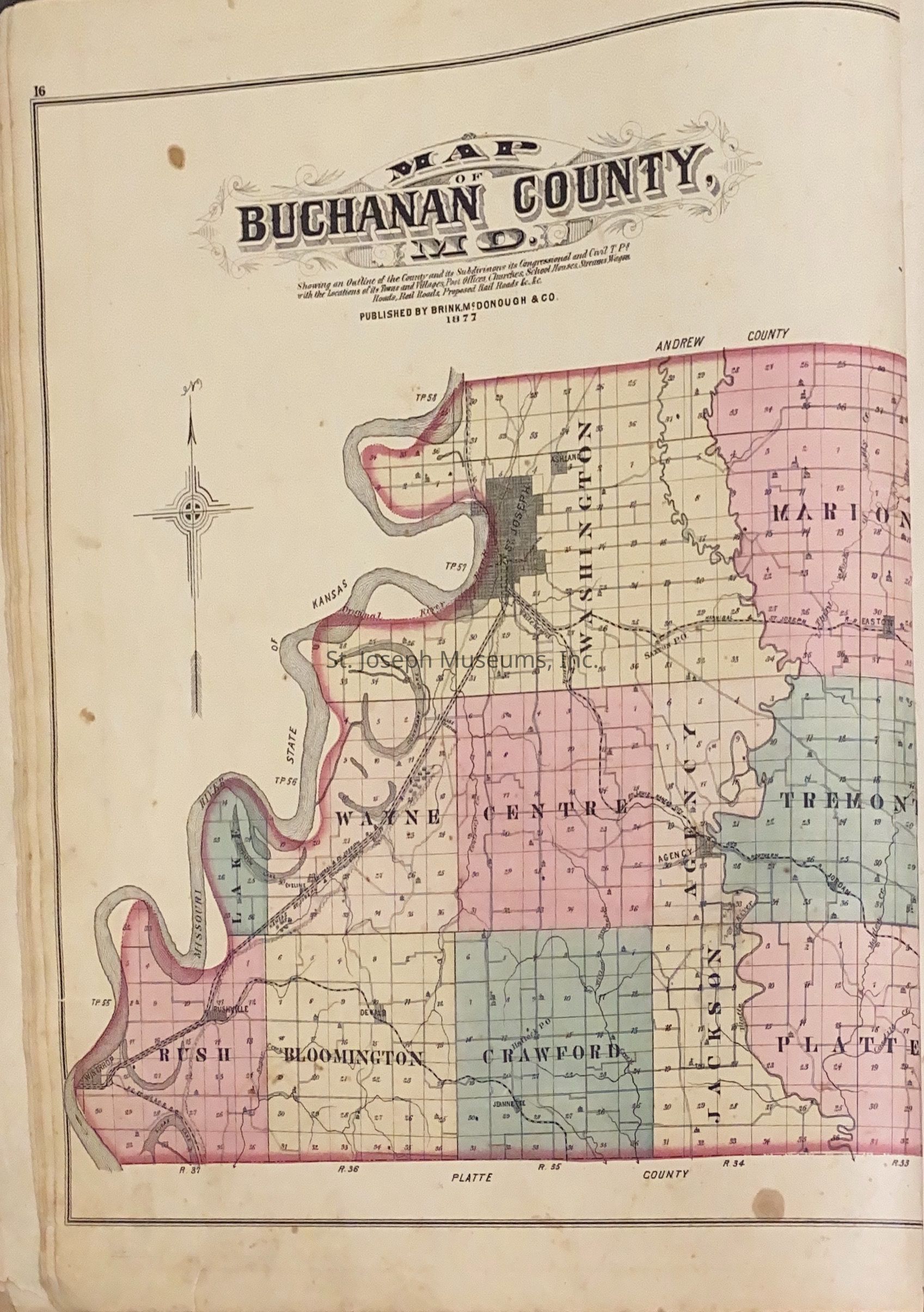
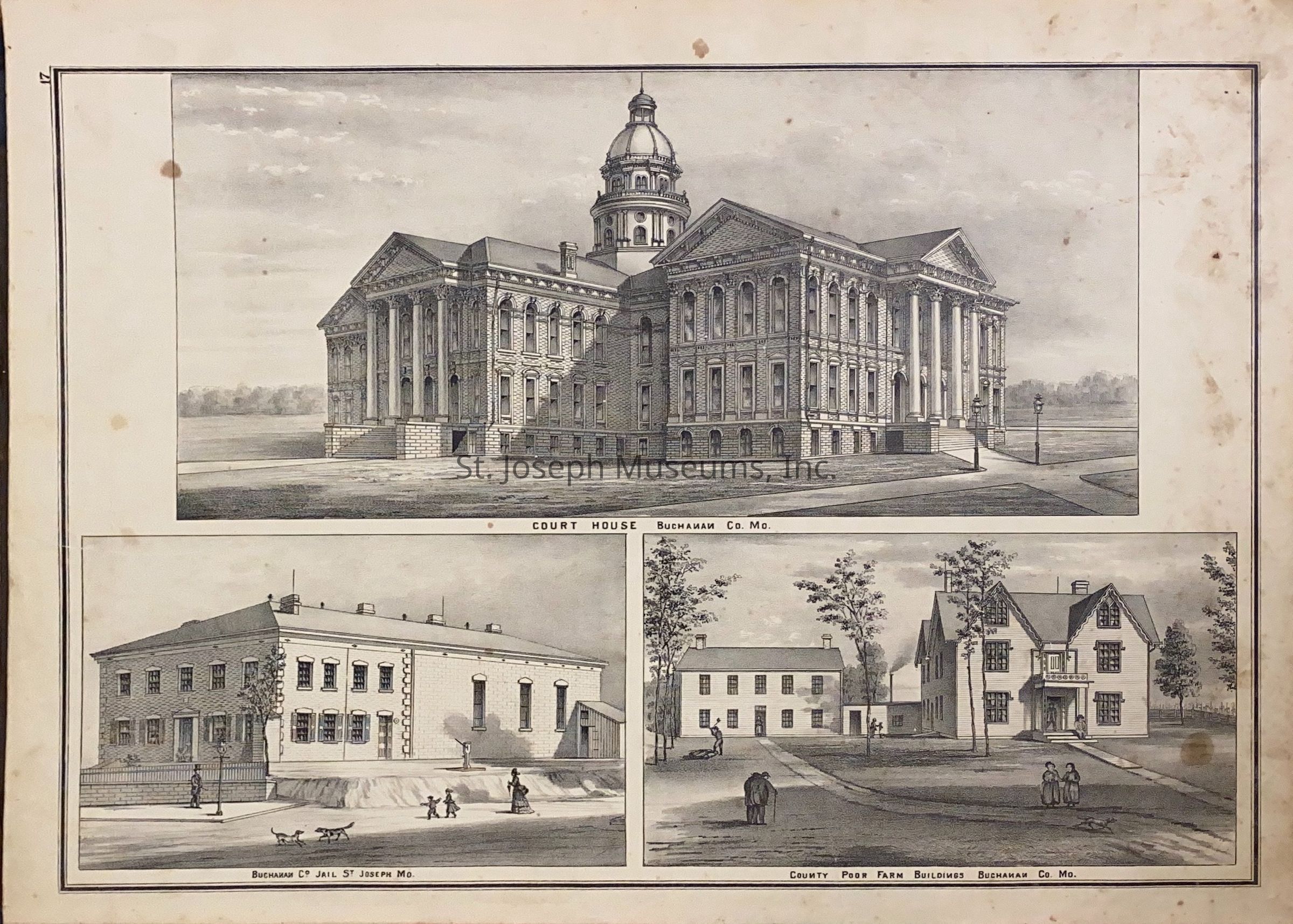
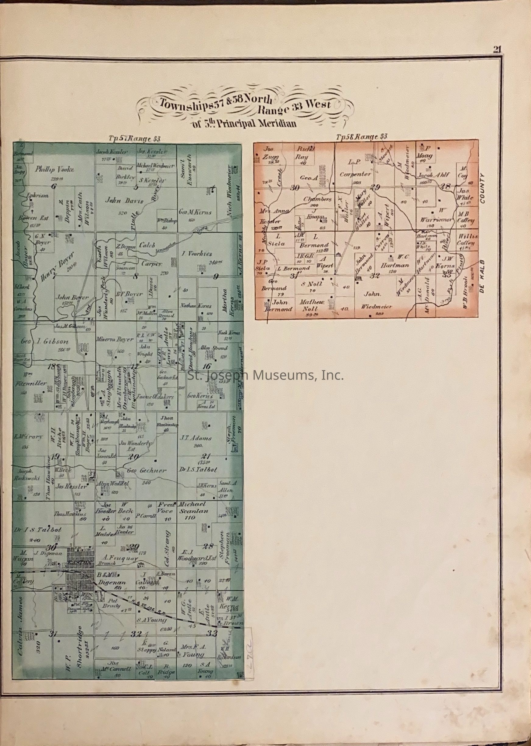
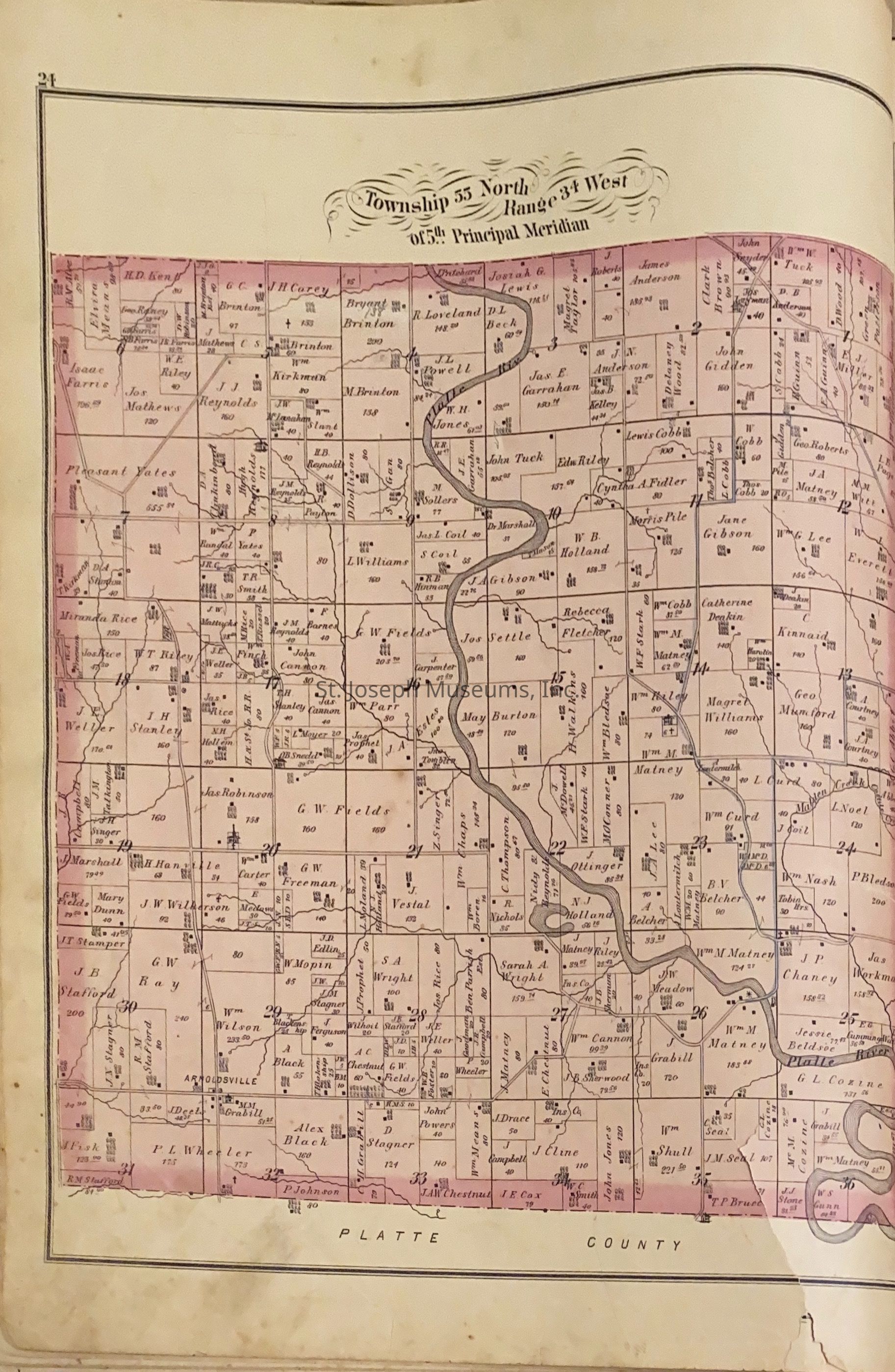
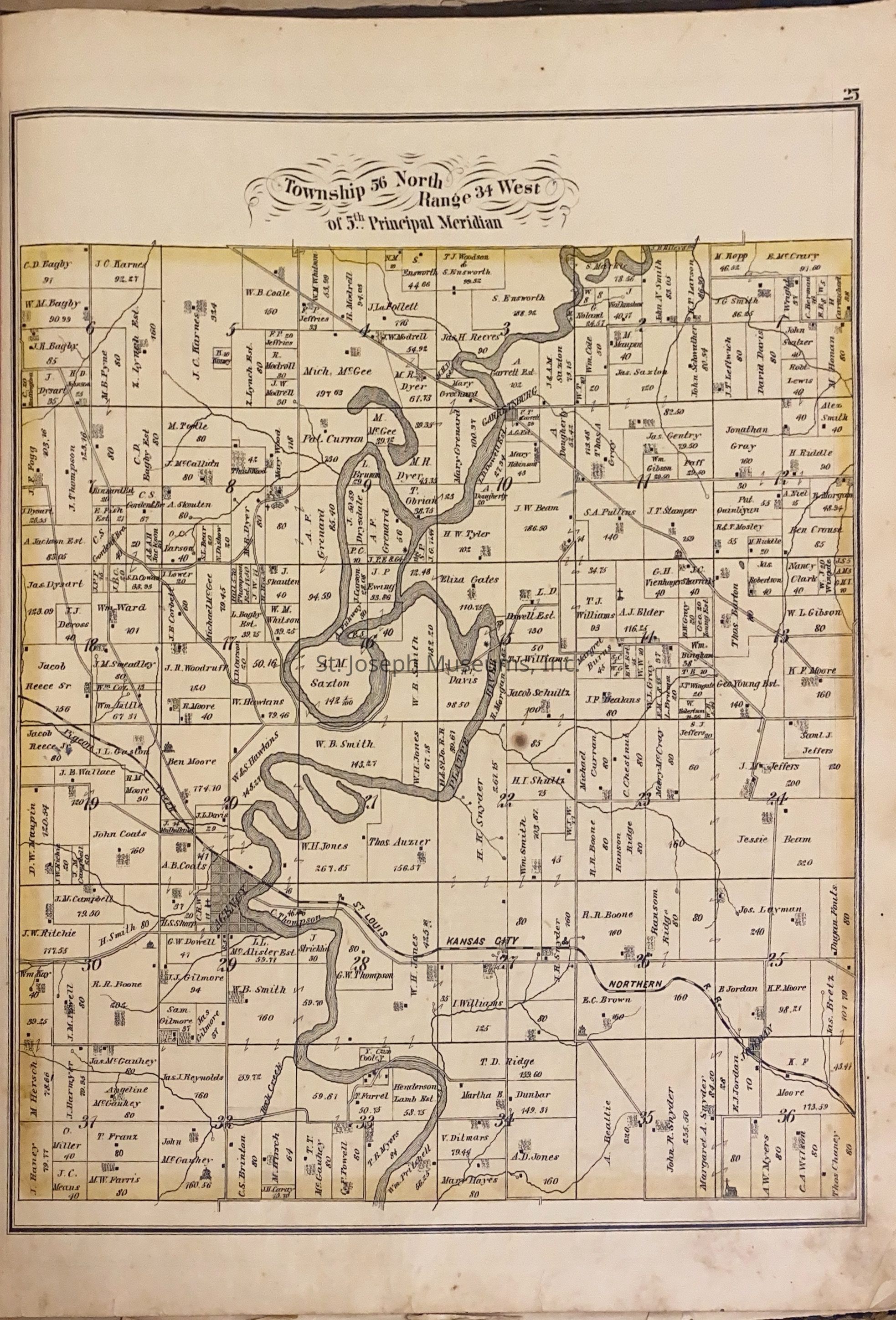
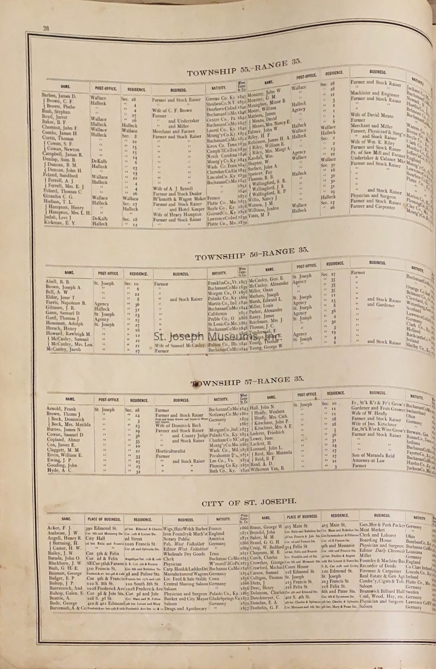
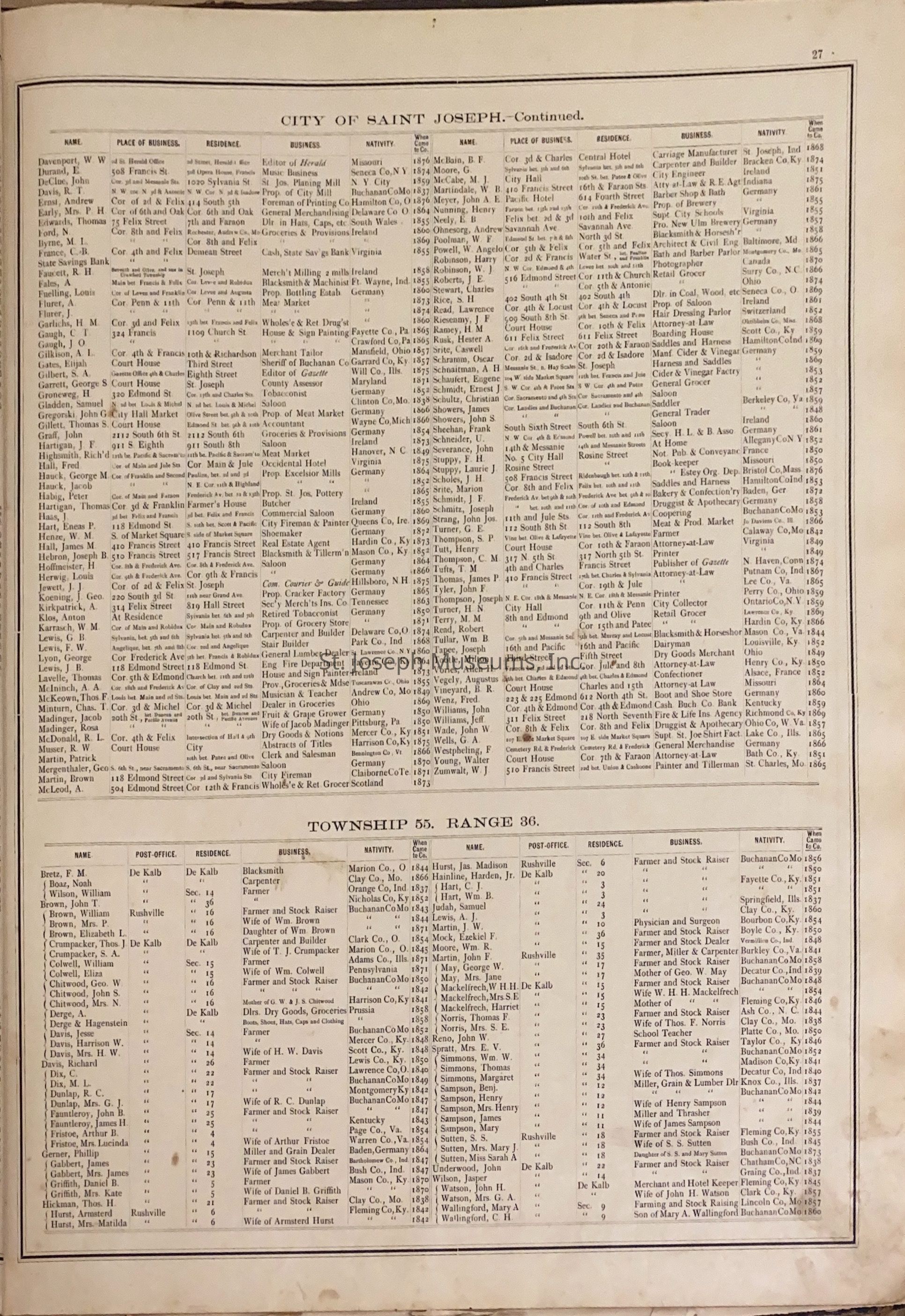
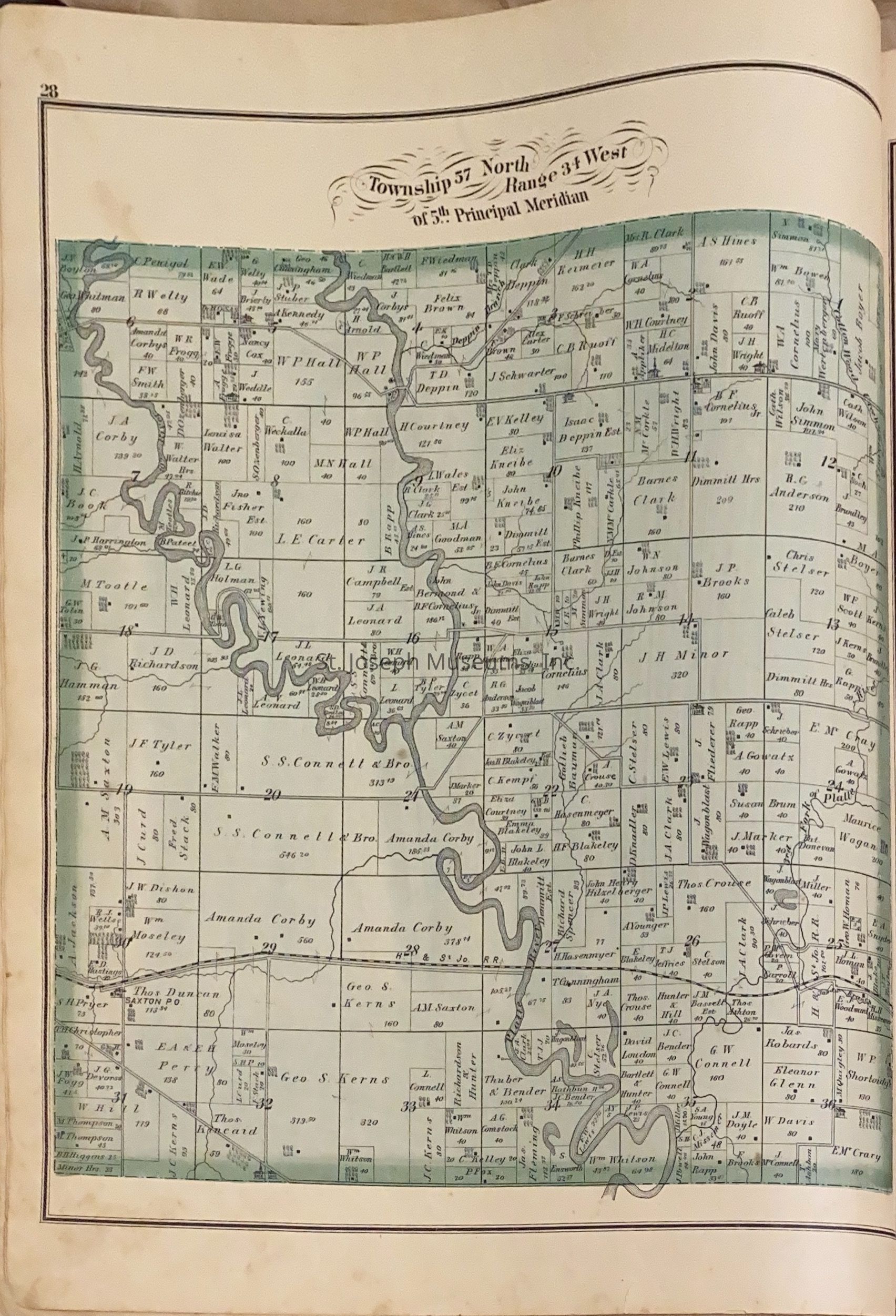
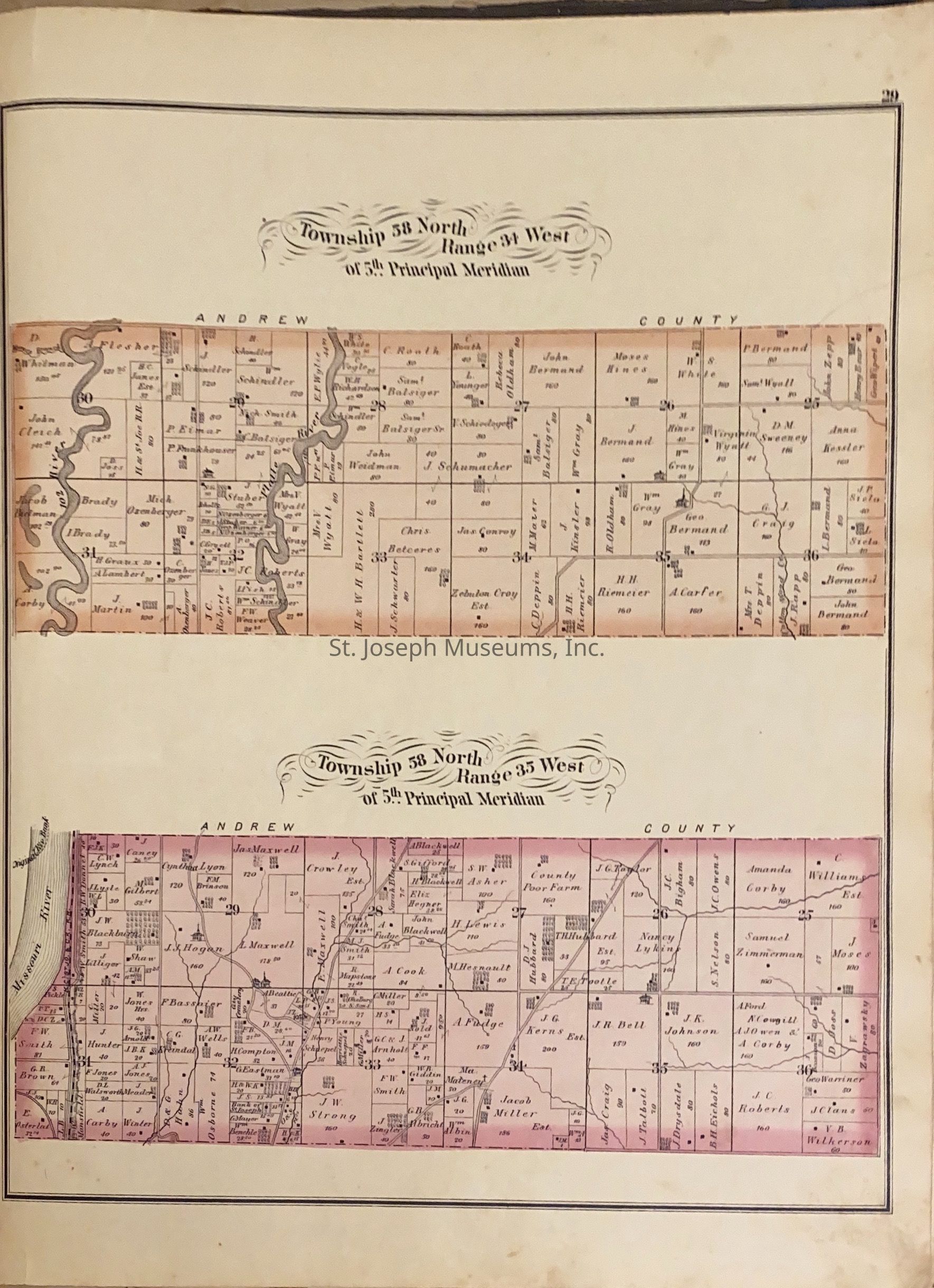
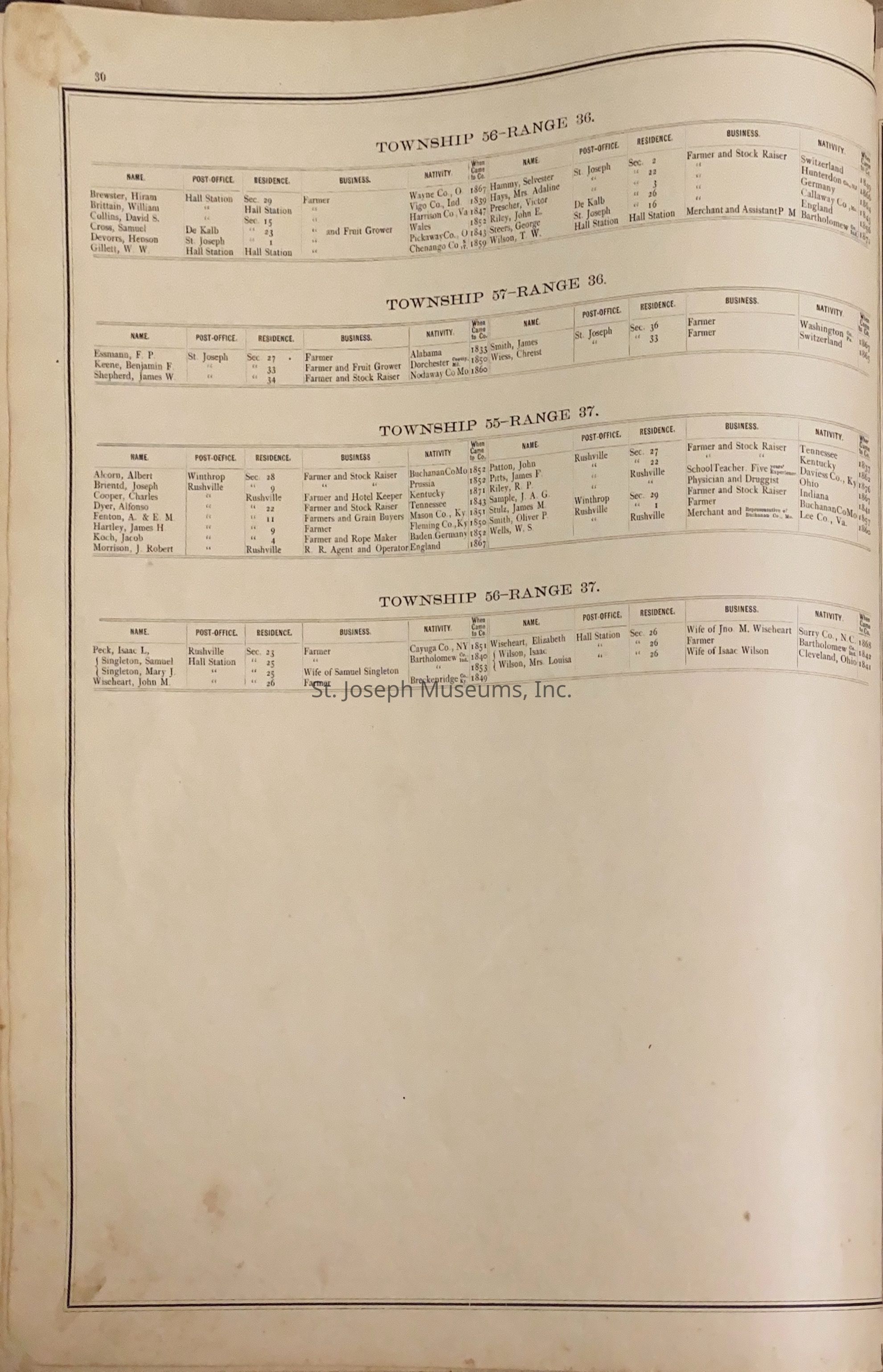
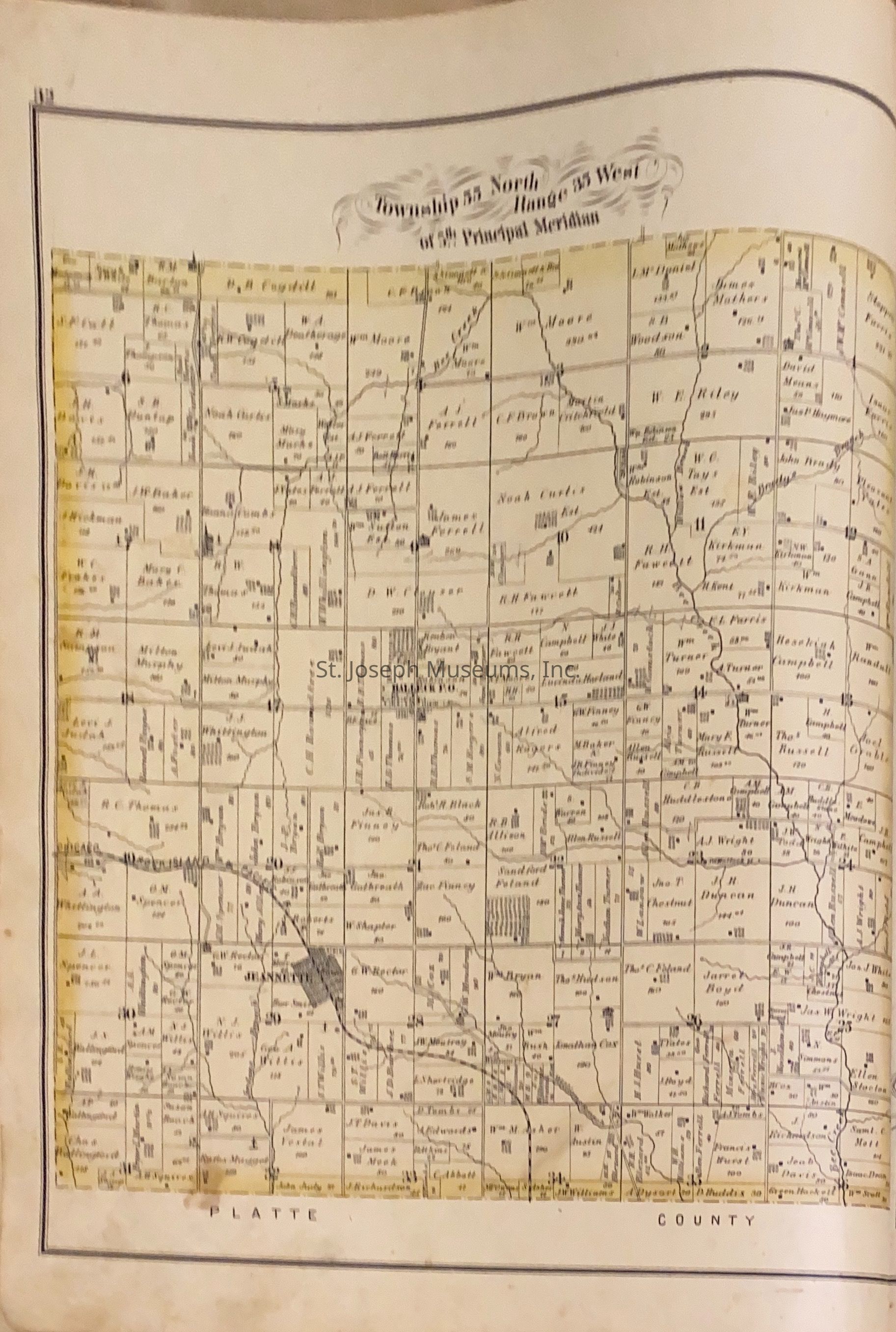
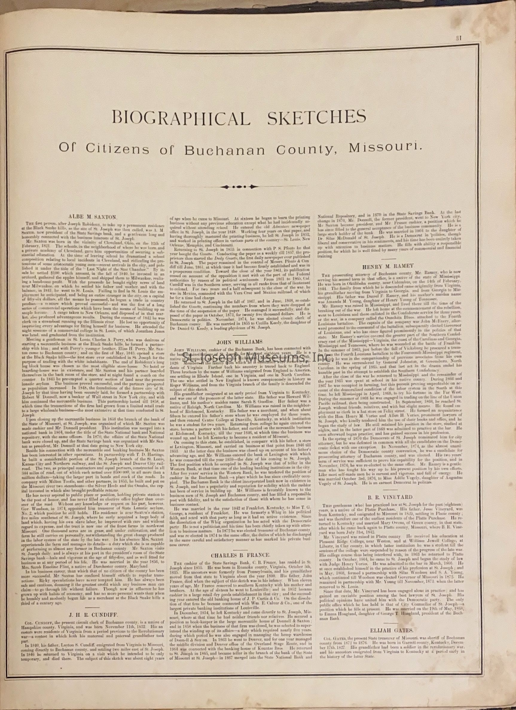
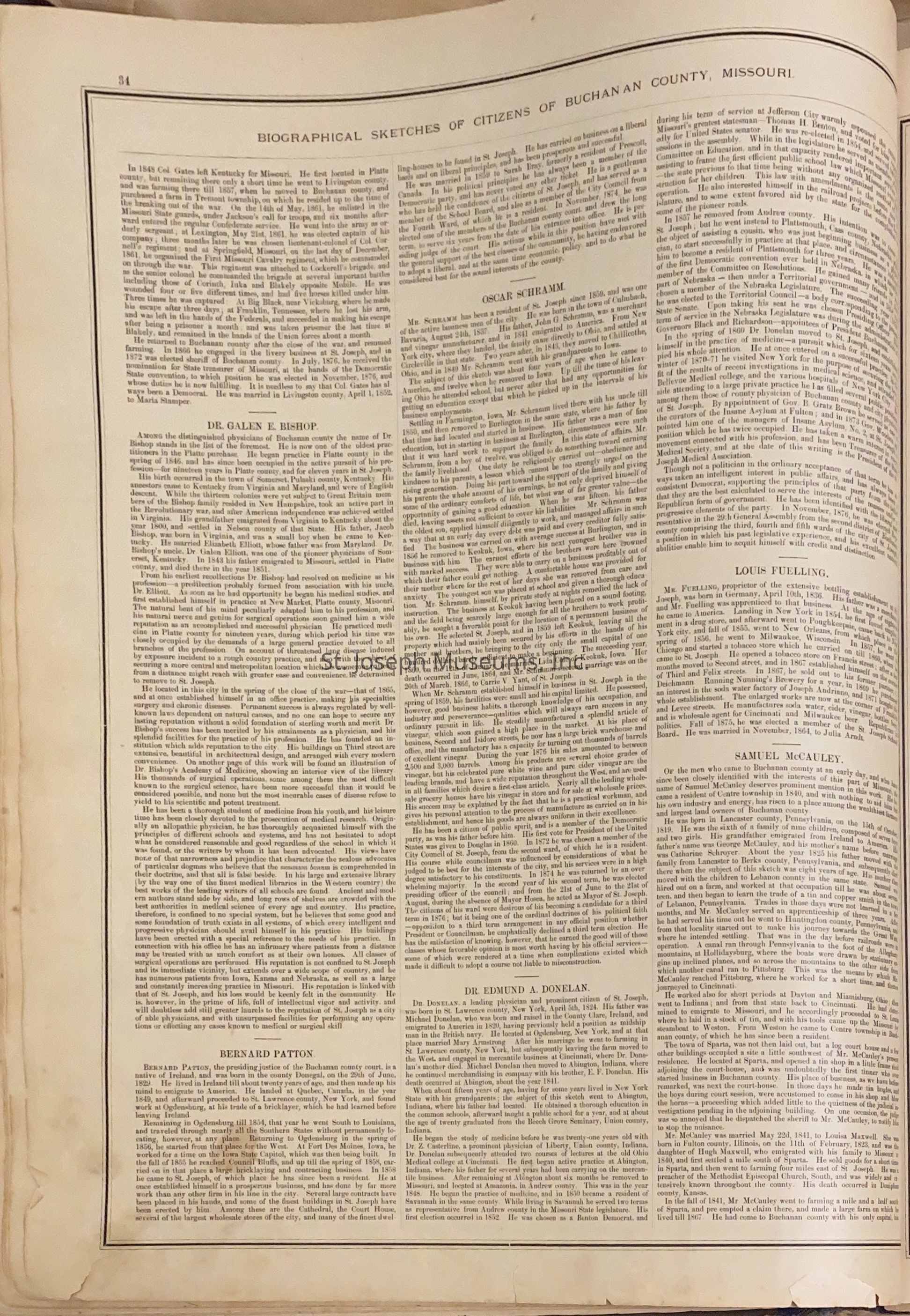
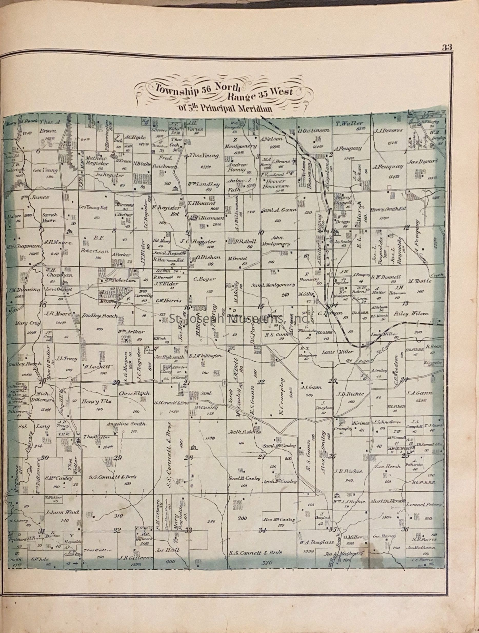
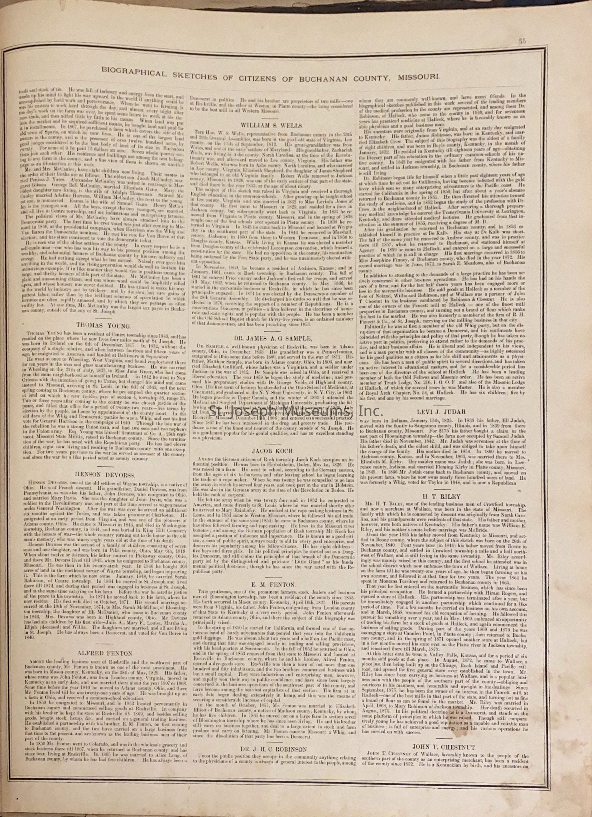
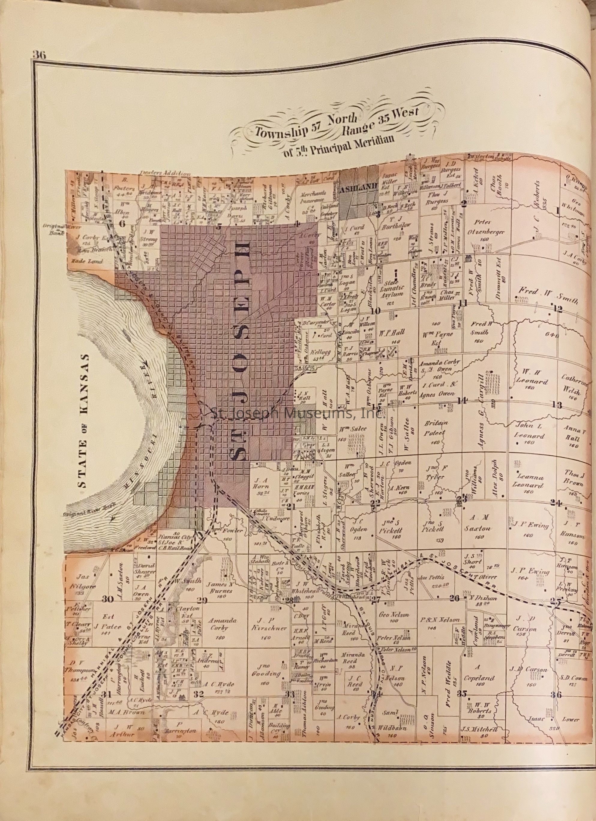
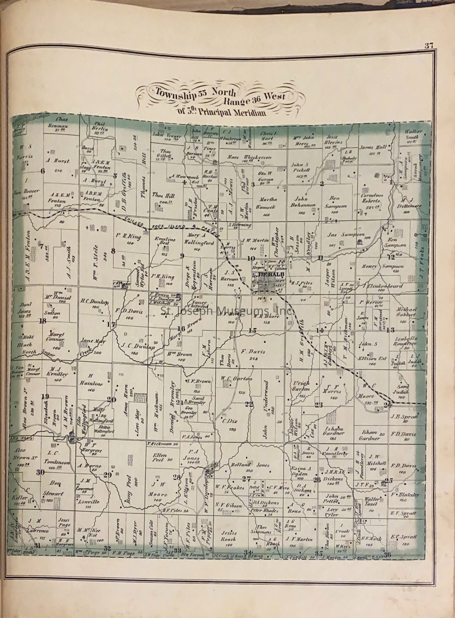
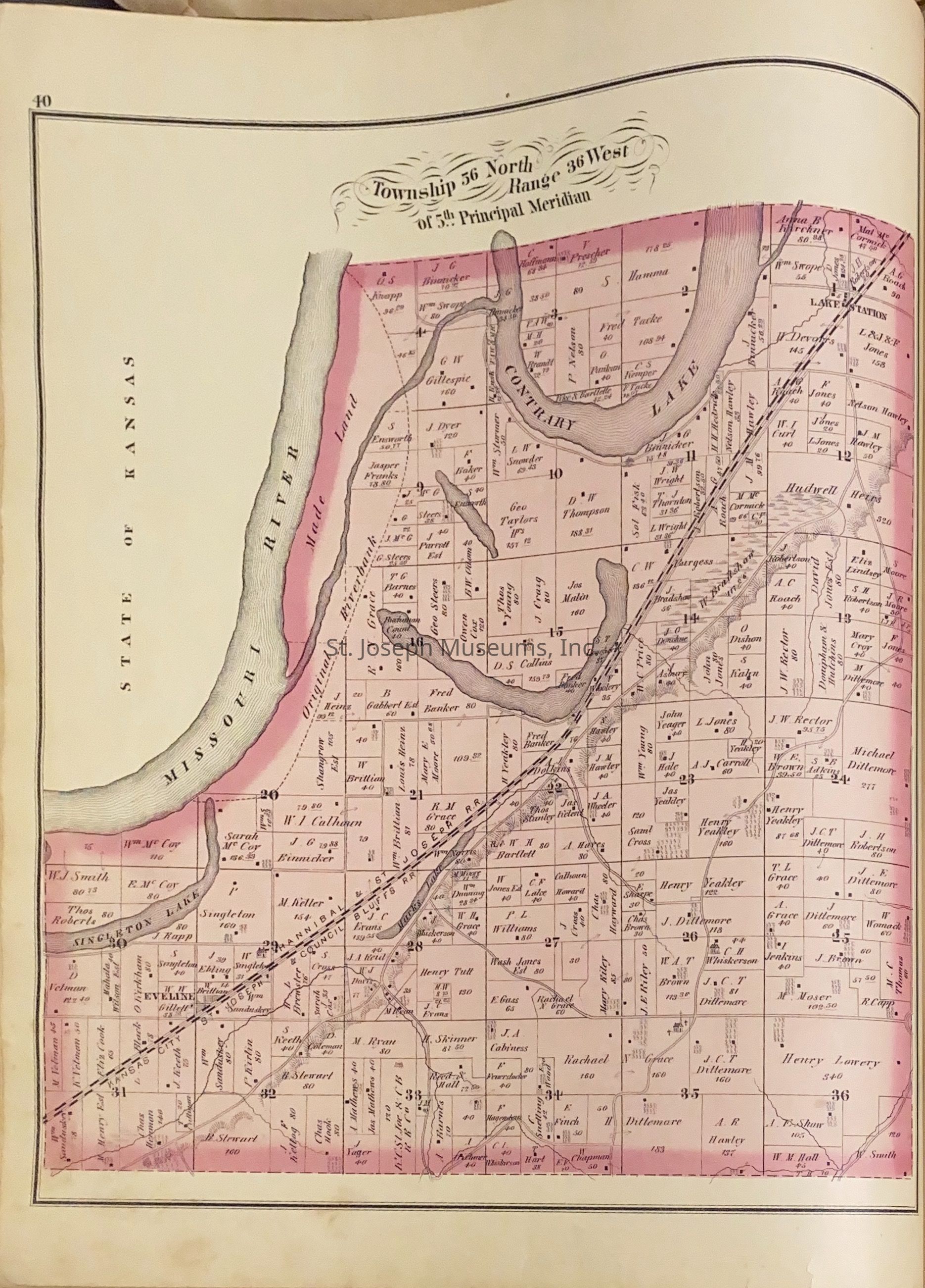
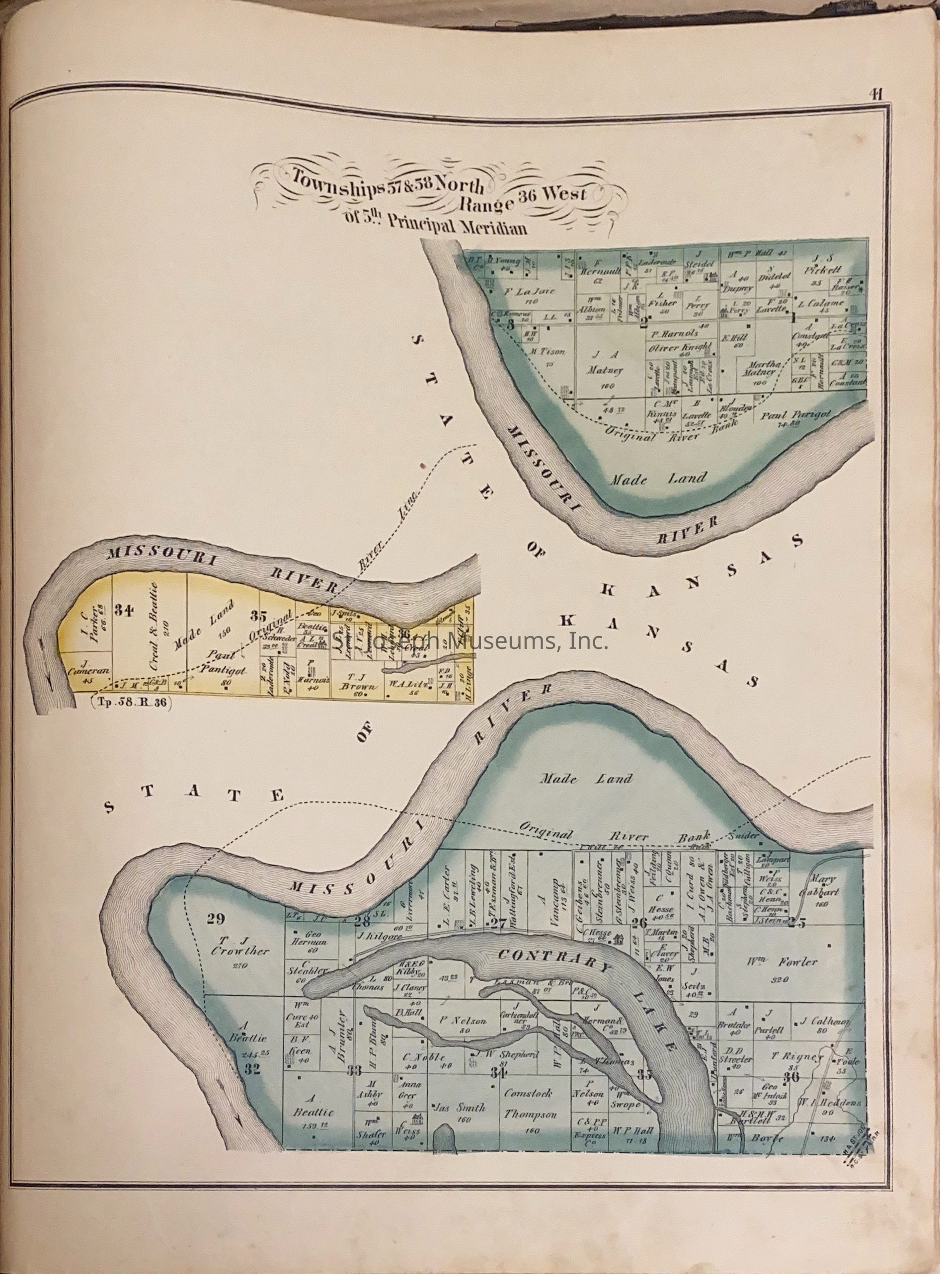
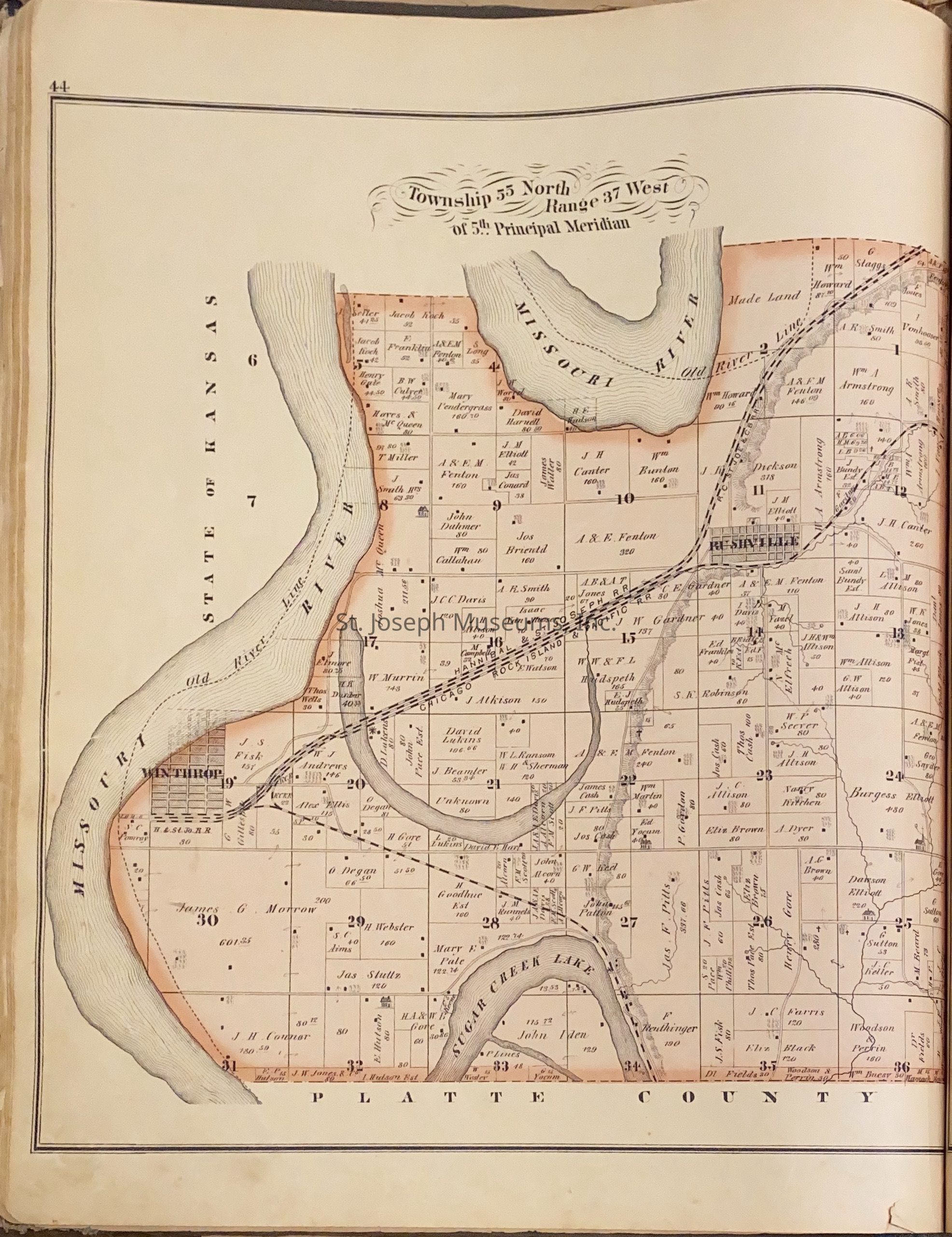
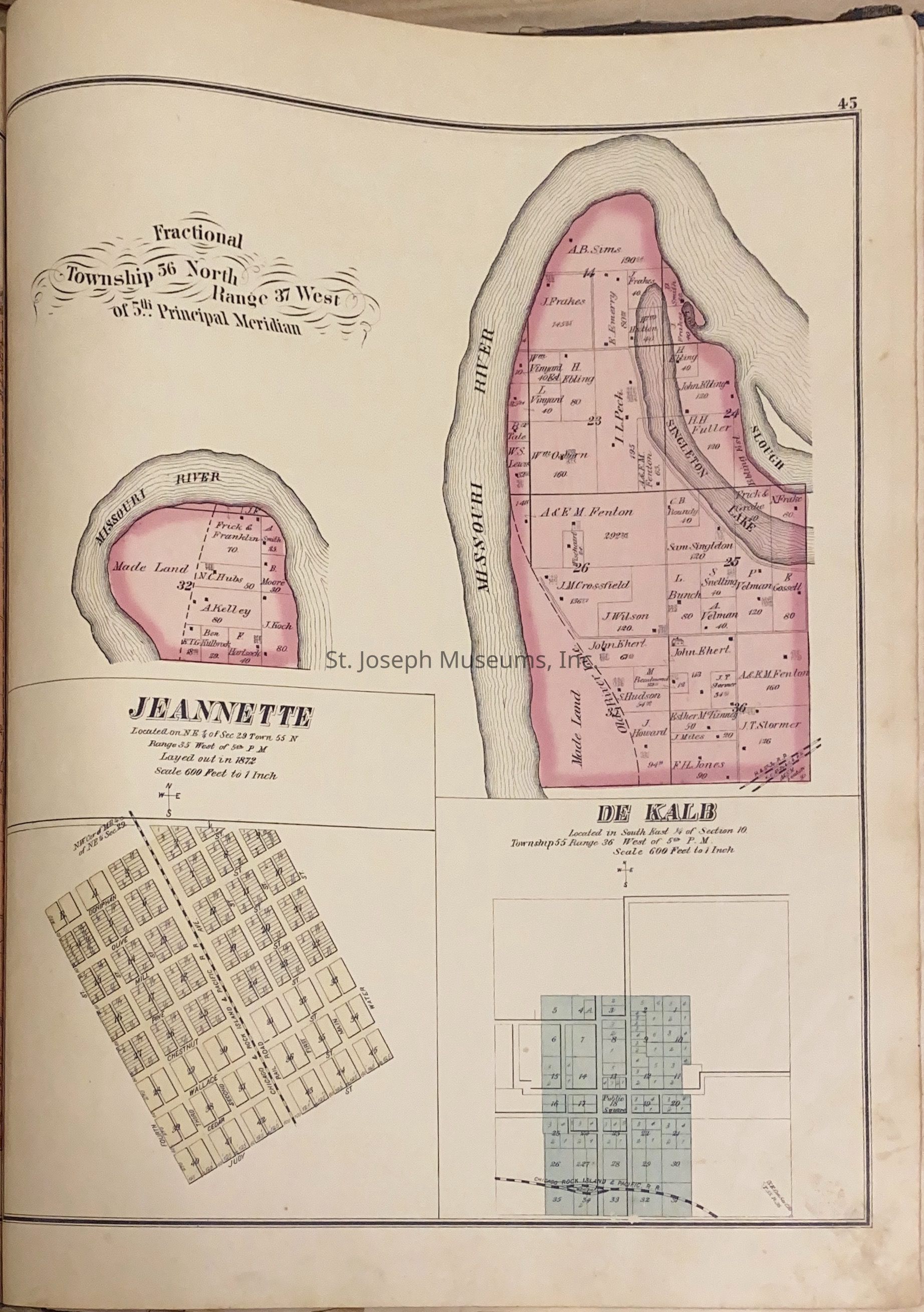
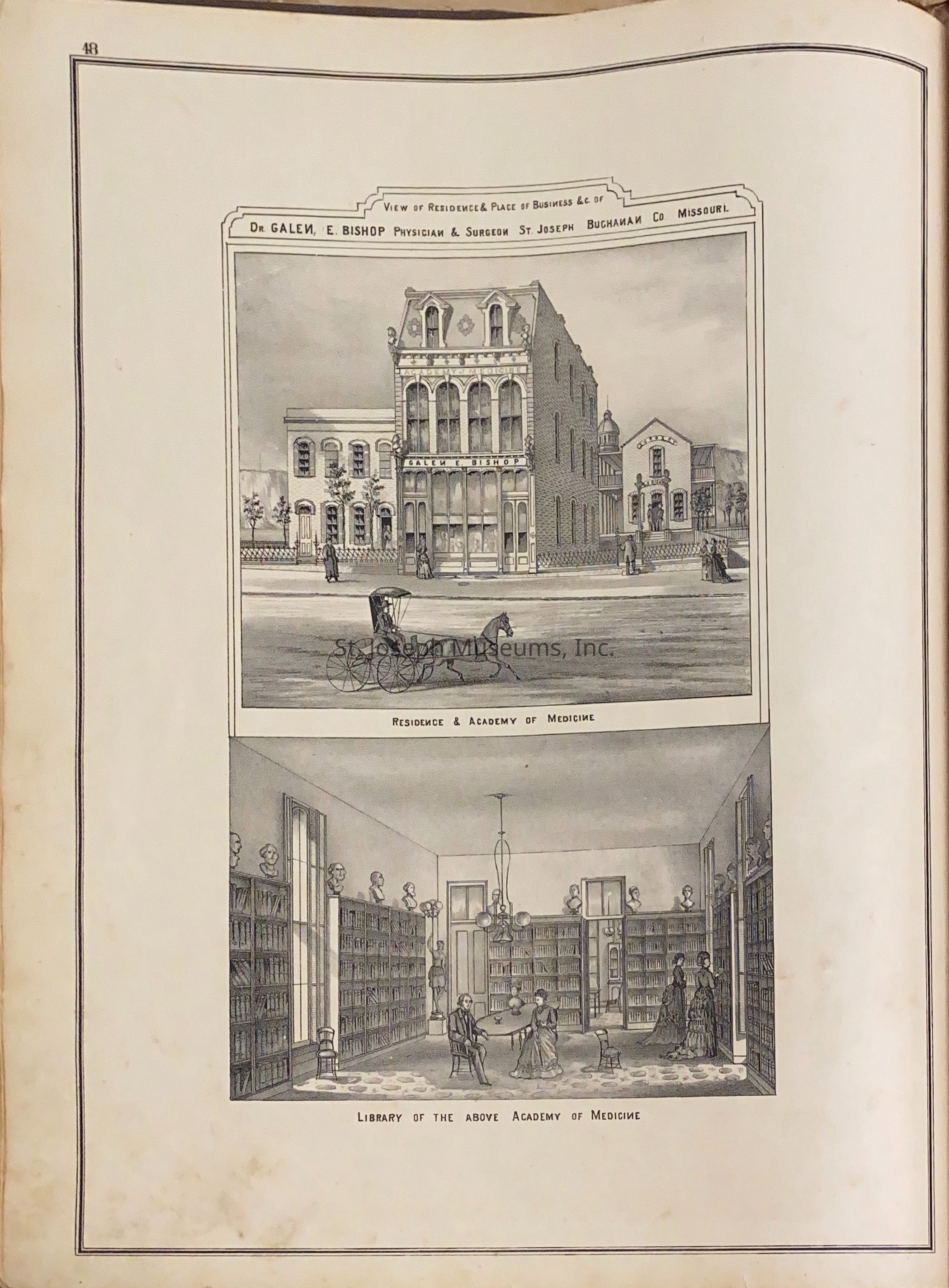
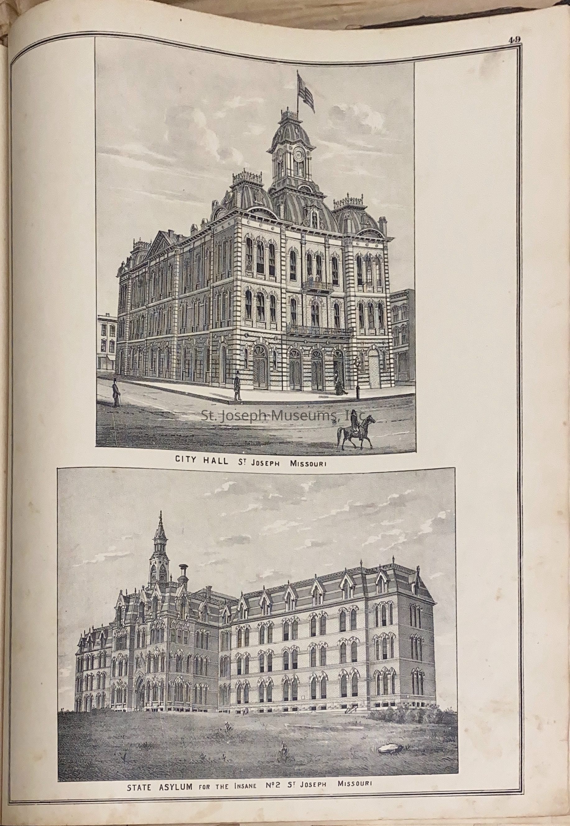
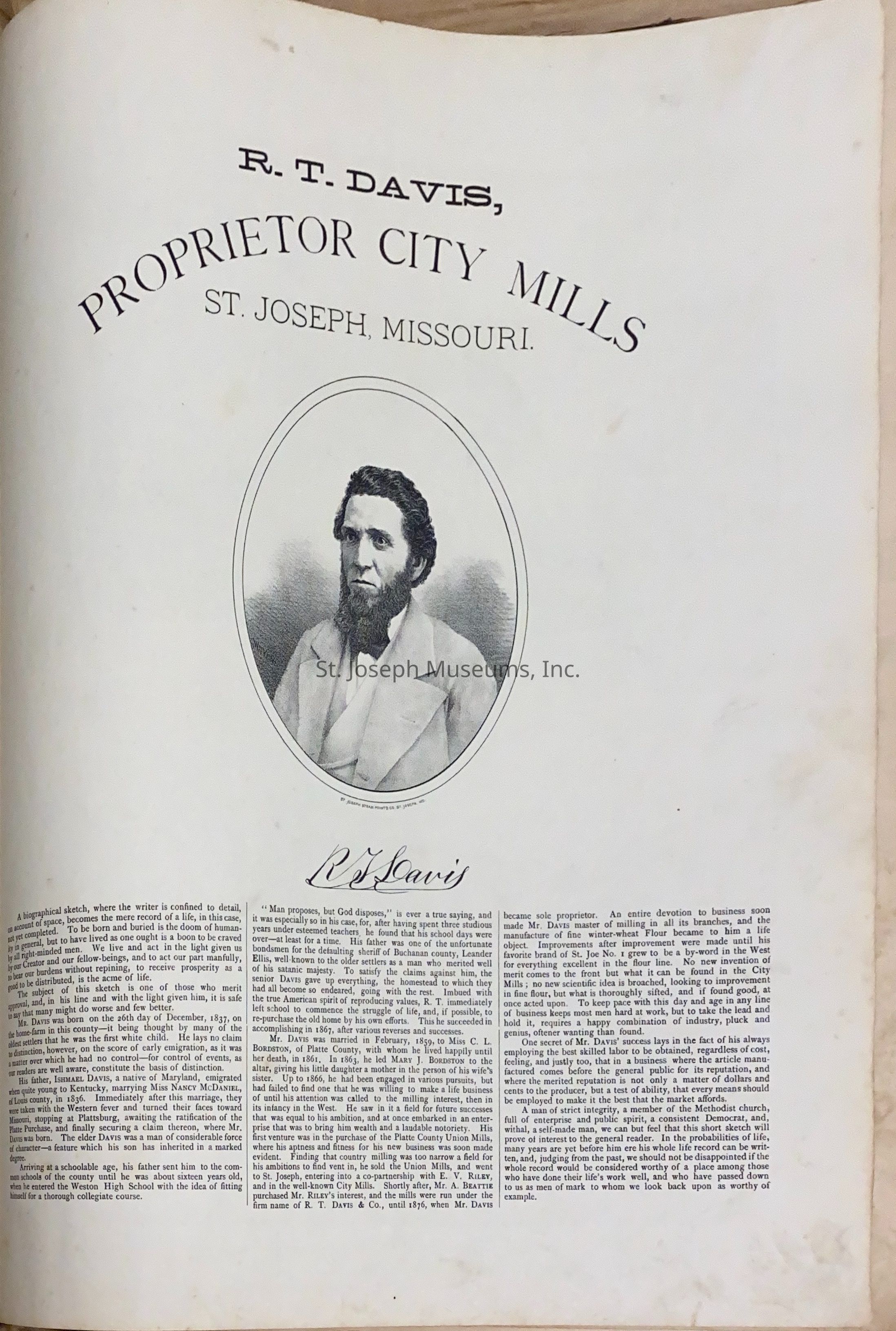
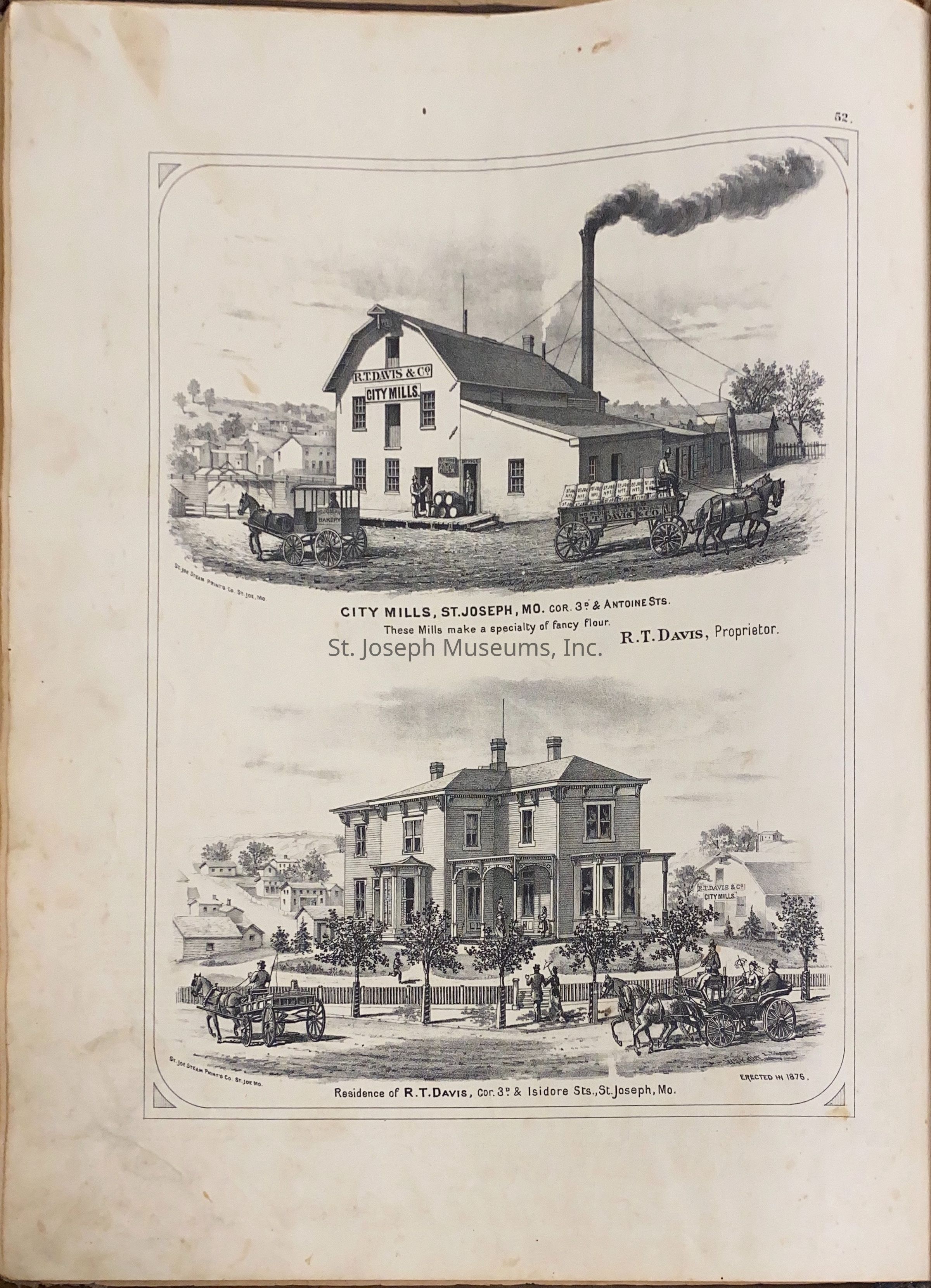
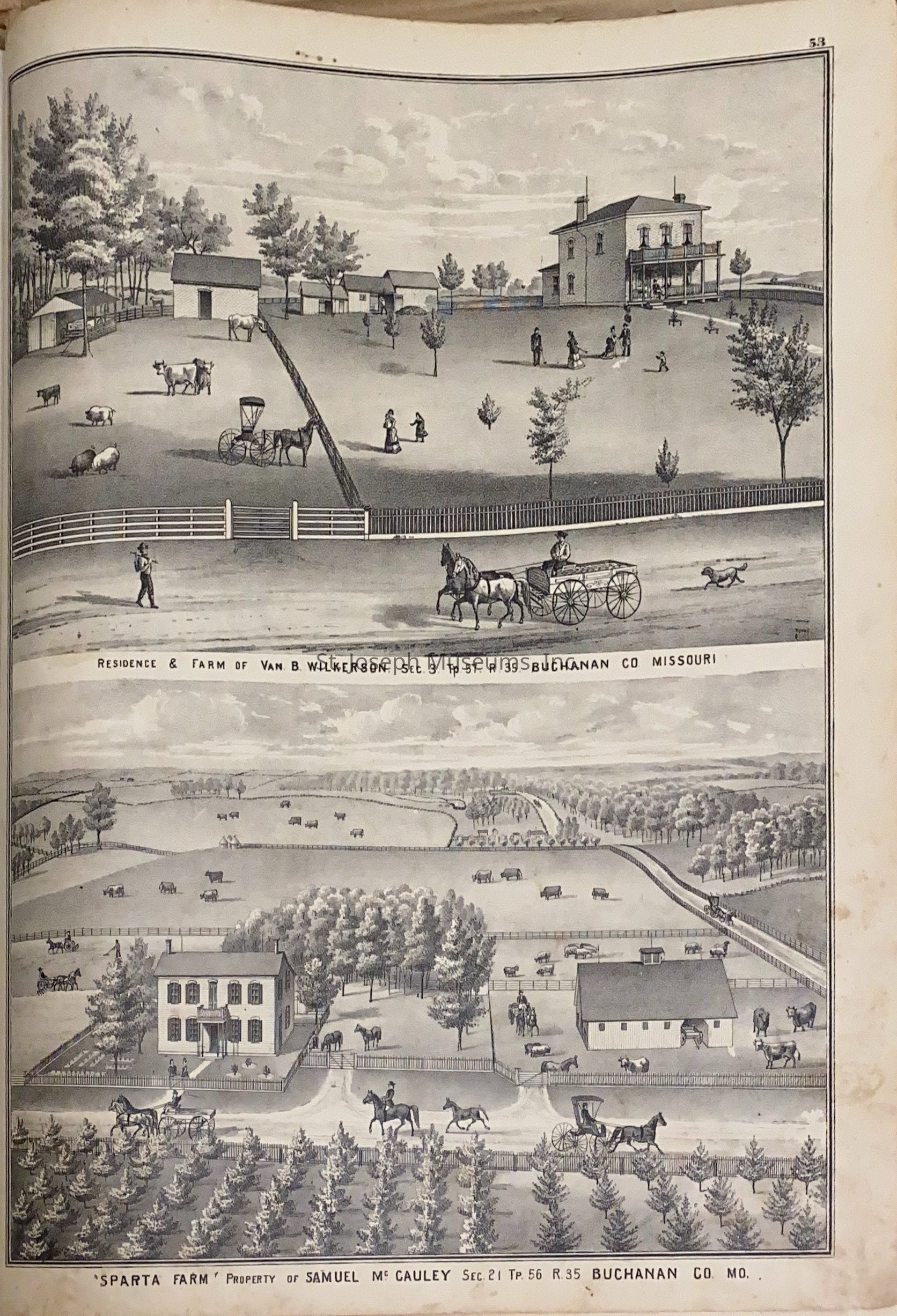
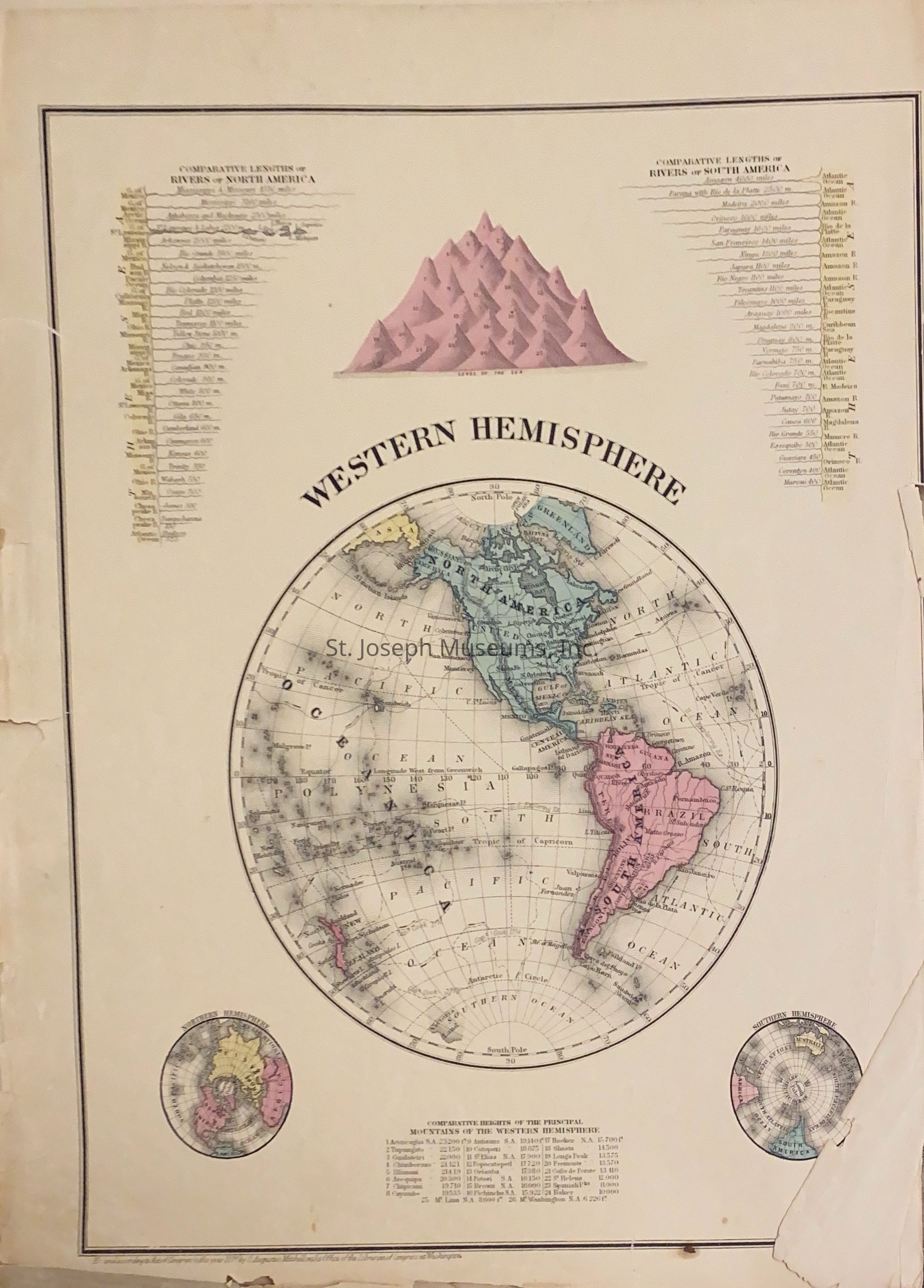
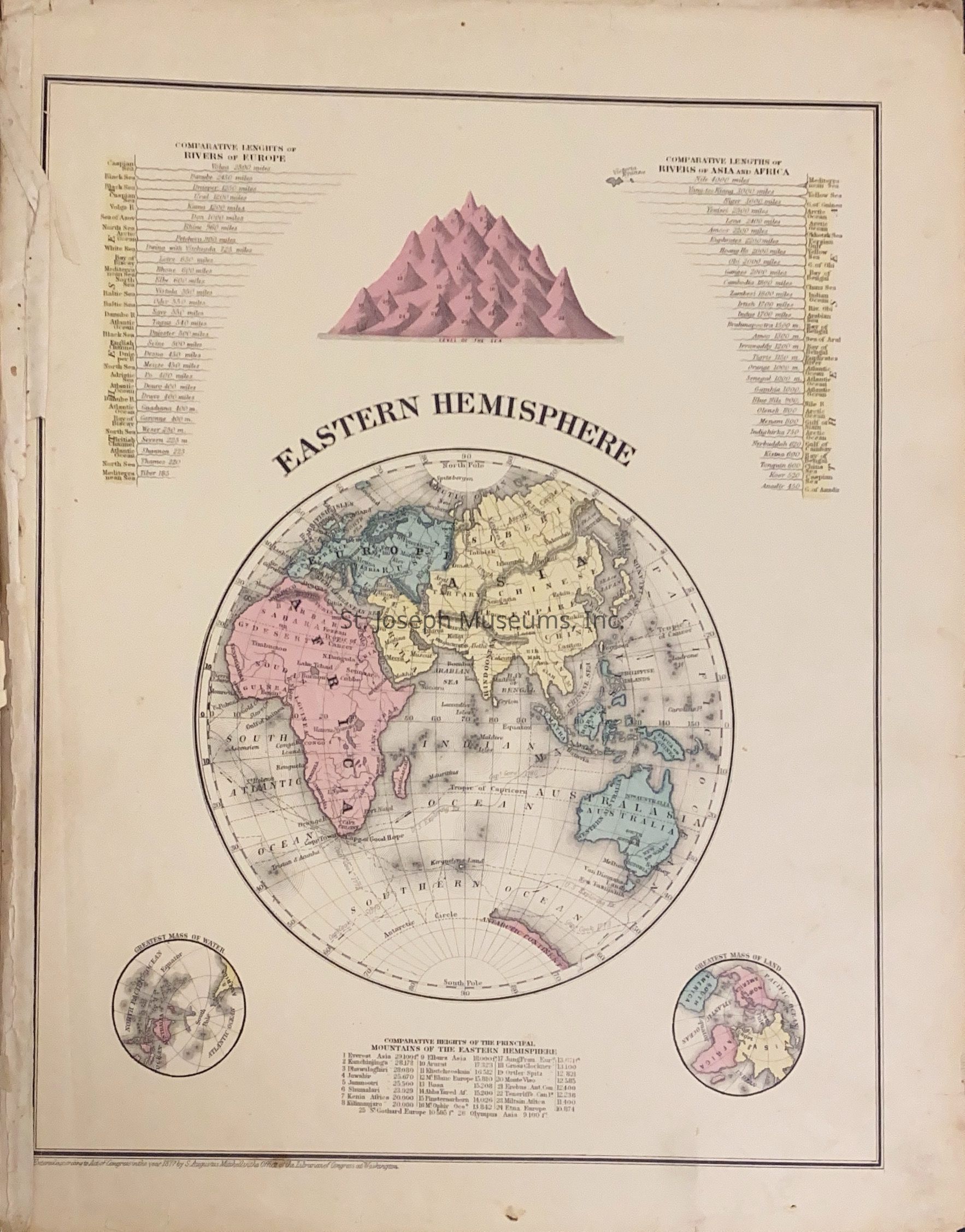
An Illustrated Historical Atlas Map of Buchanan County, Mo. is one - if not the- oldest atlas books of St. Joseph. The St. Joseph Museum Library has 3 copies. The sketches of R.T. Davis, Davis Mills & Home, Sparta Farm, Wilderson Farm, Academy of Medicine, City Hall, State Asylum for Insane, County Jail, County Poor Farm and County Court House have been scanned into the photo collection (History 20).
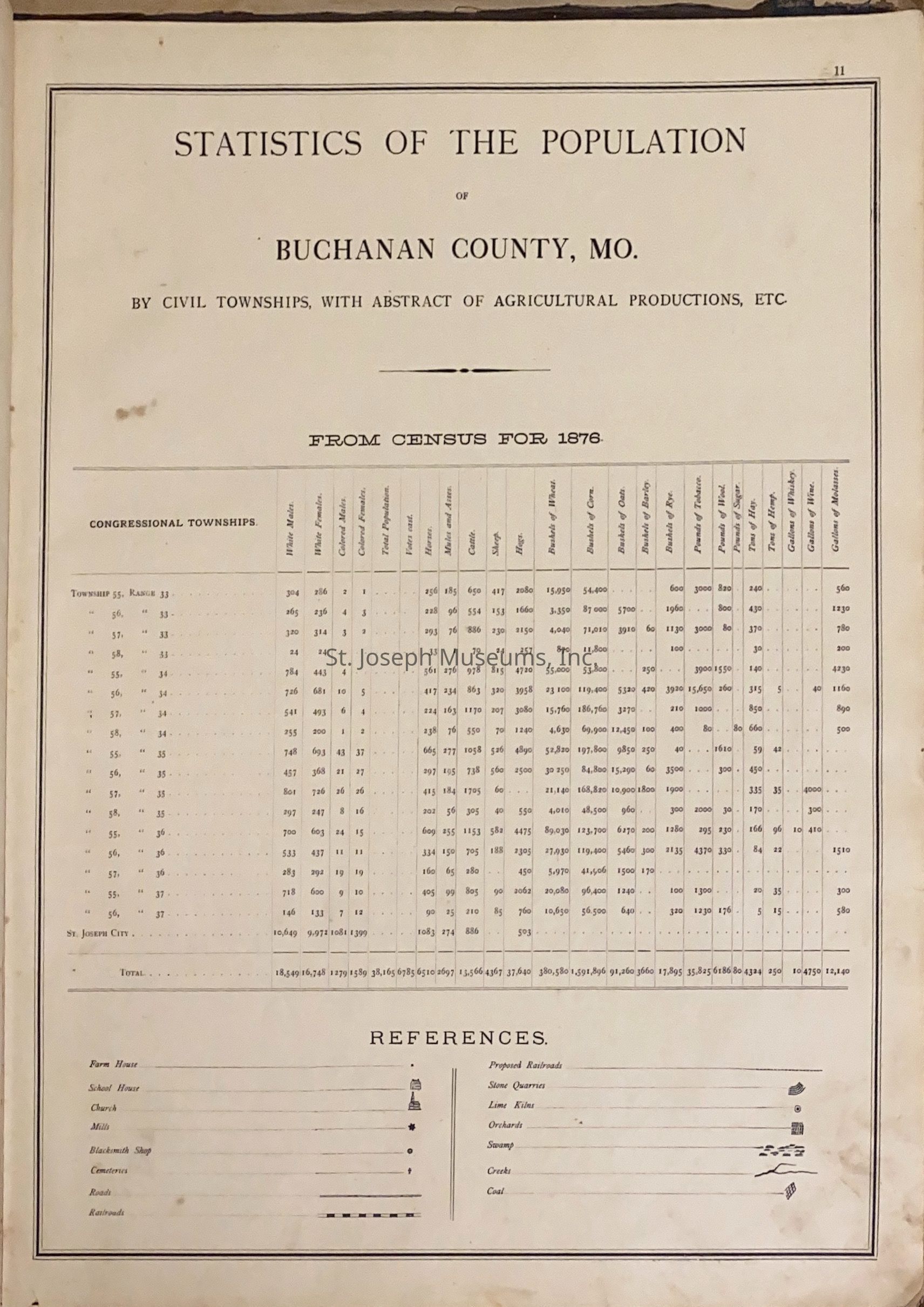
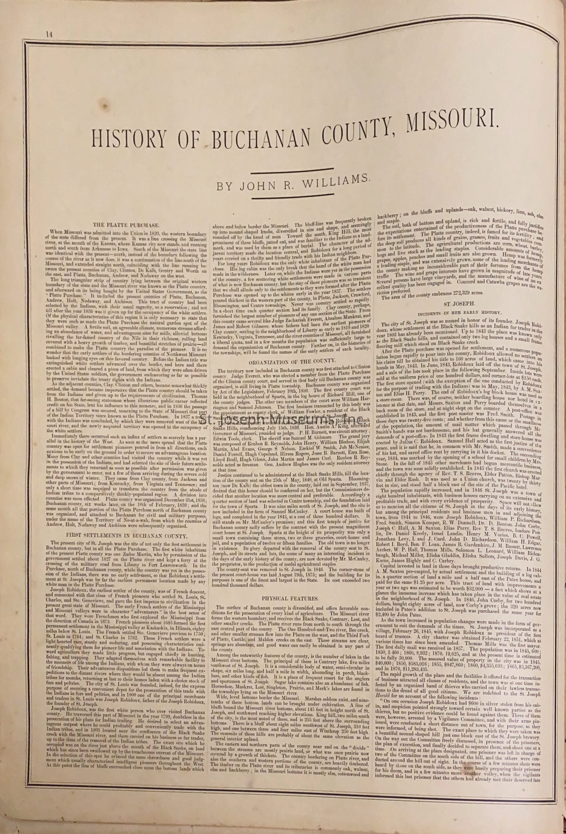
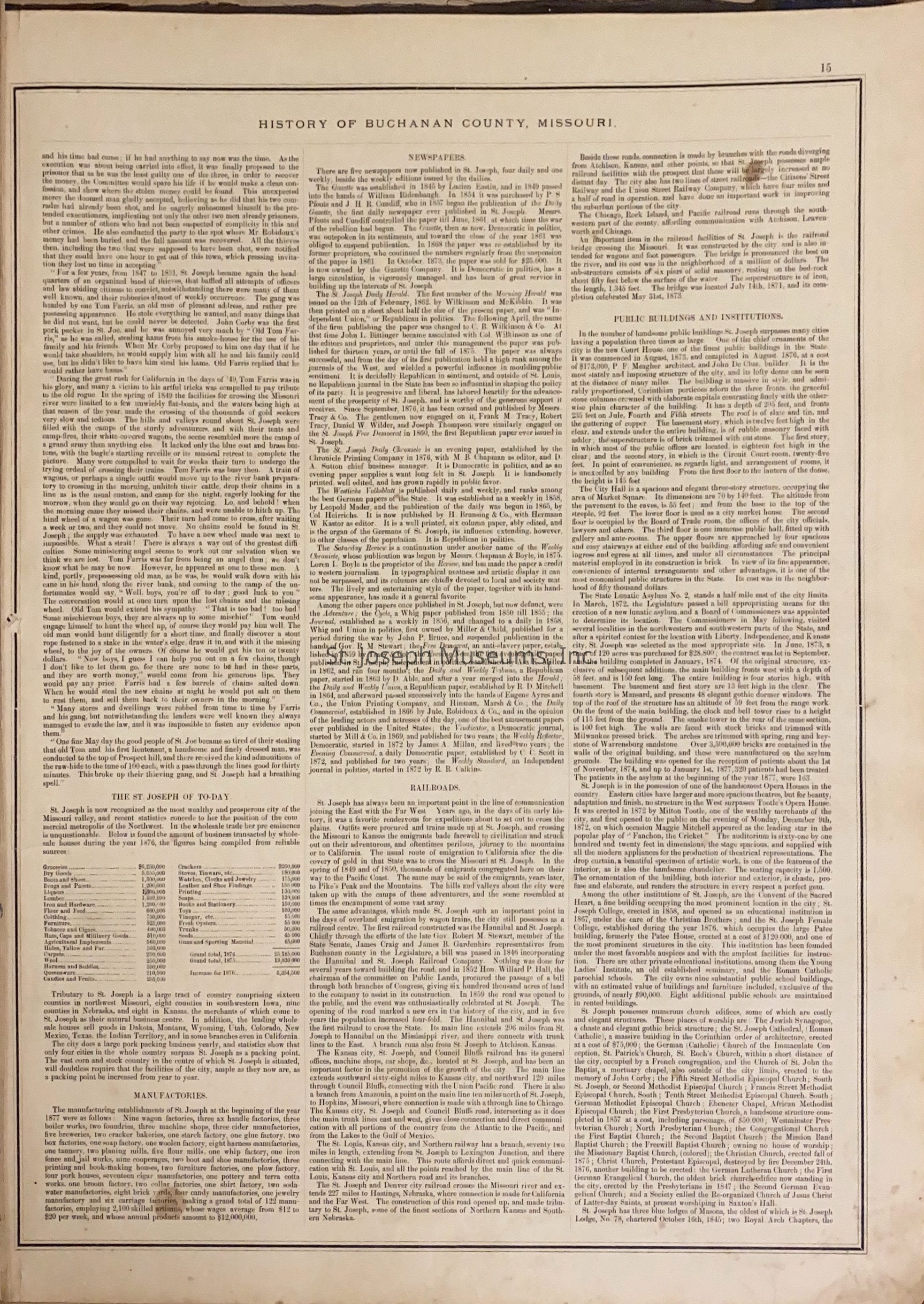
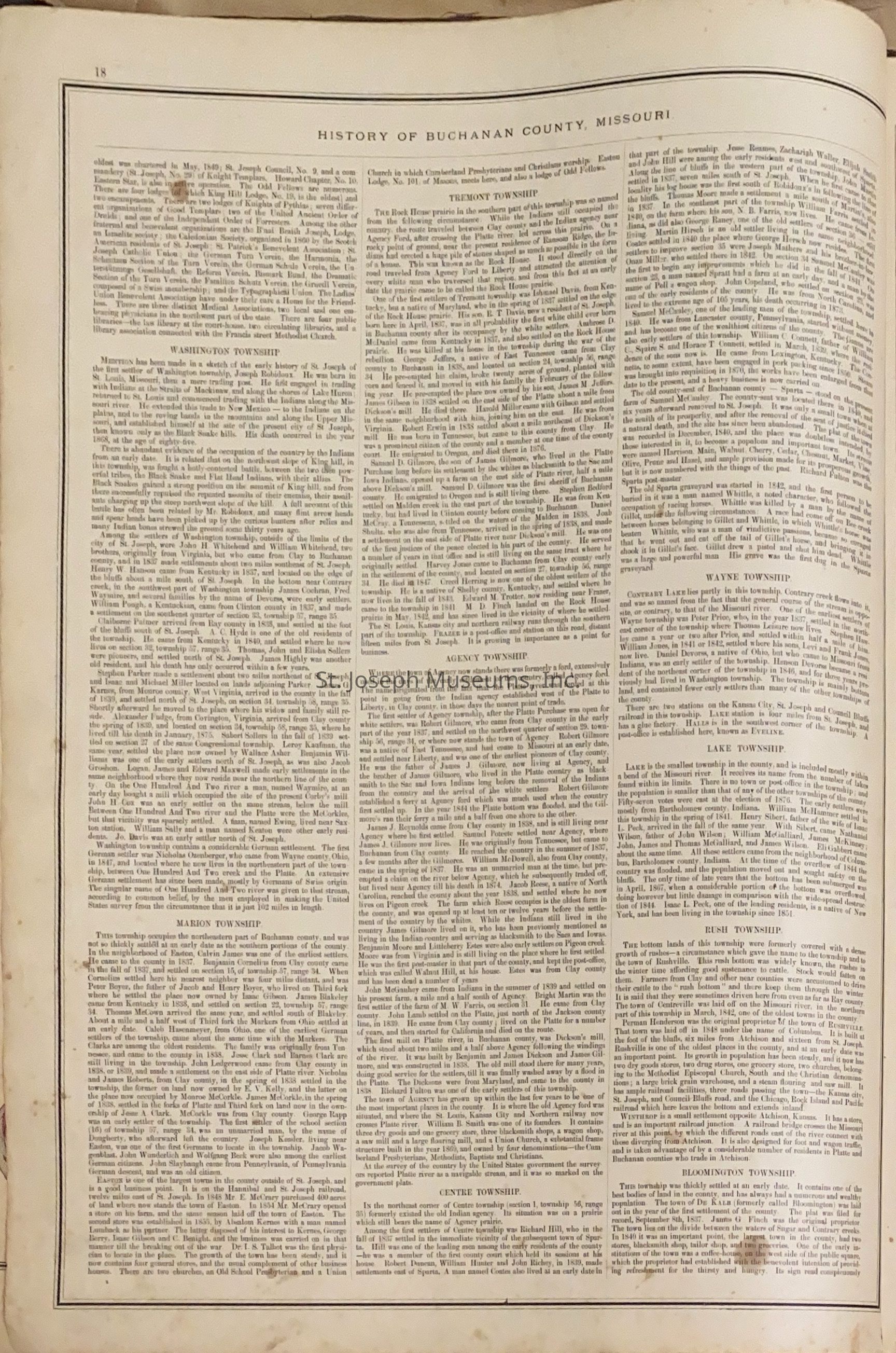
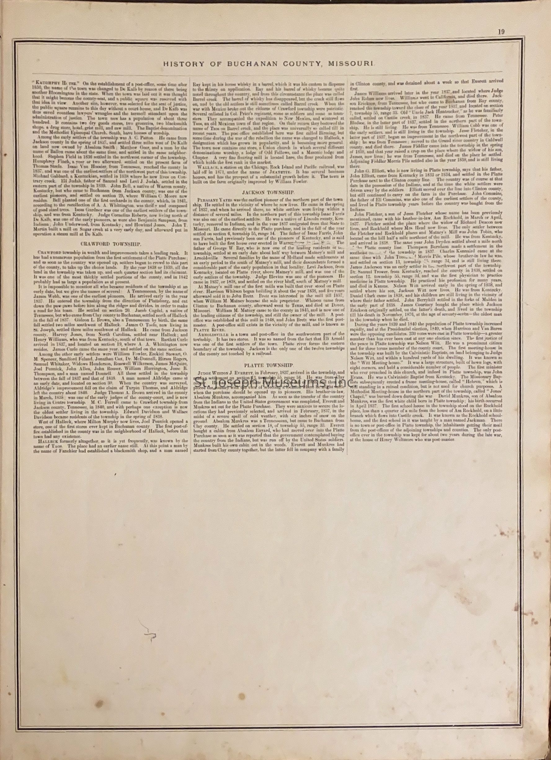
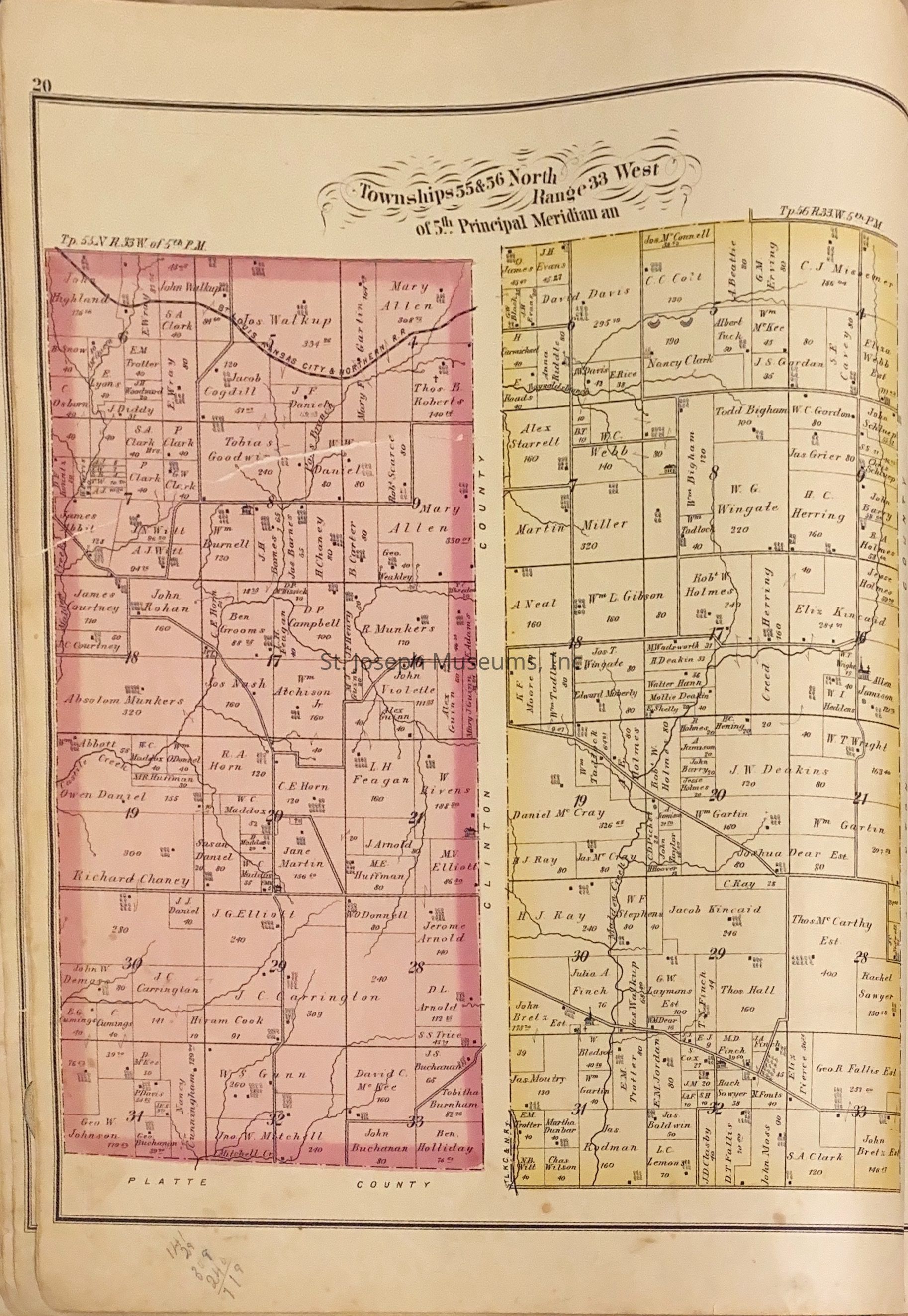
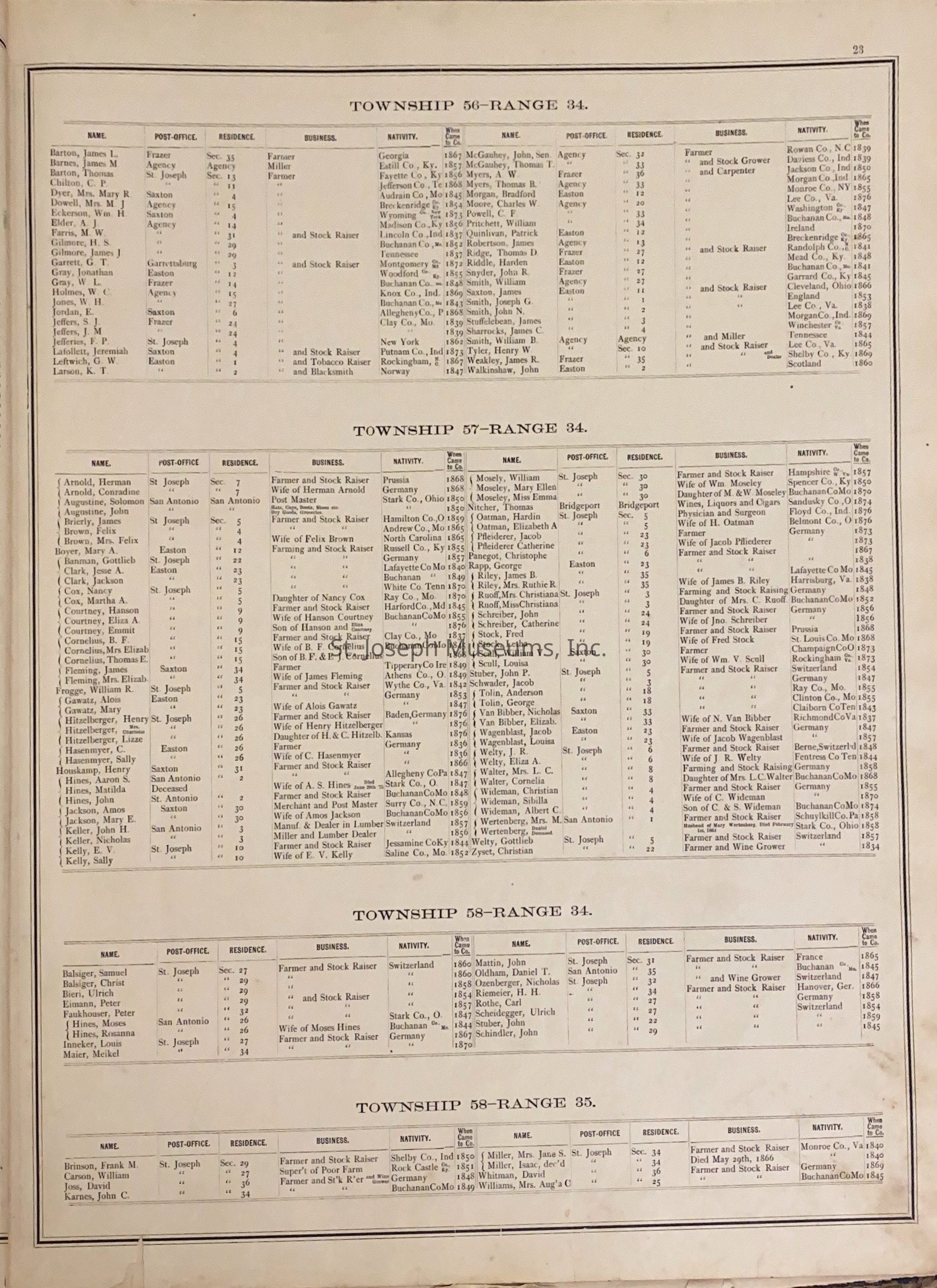
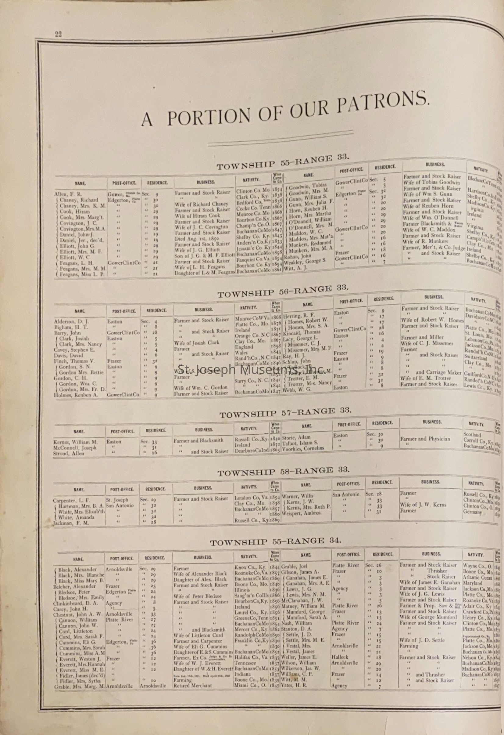
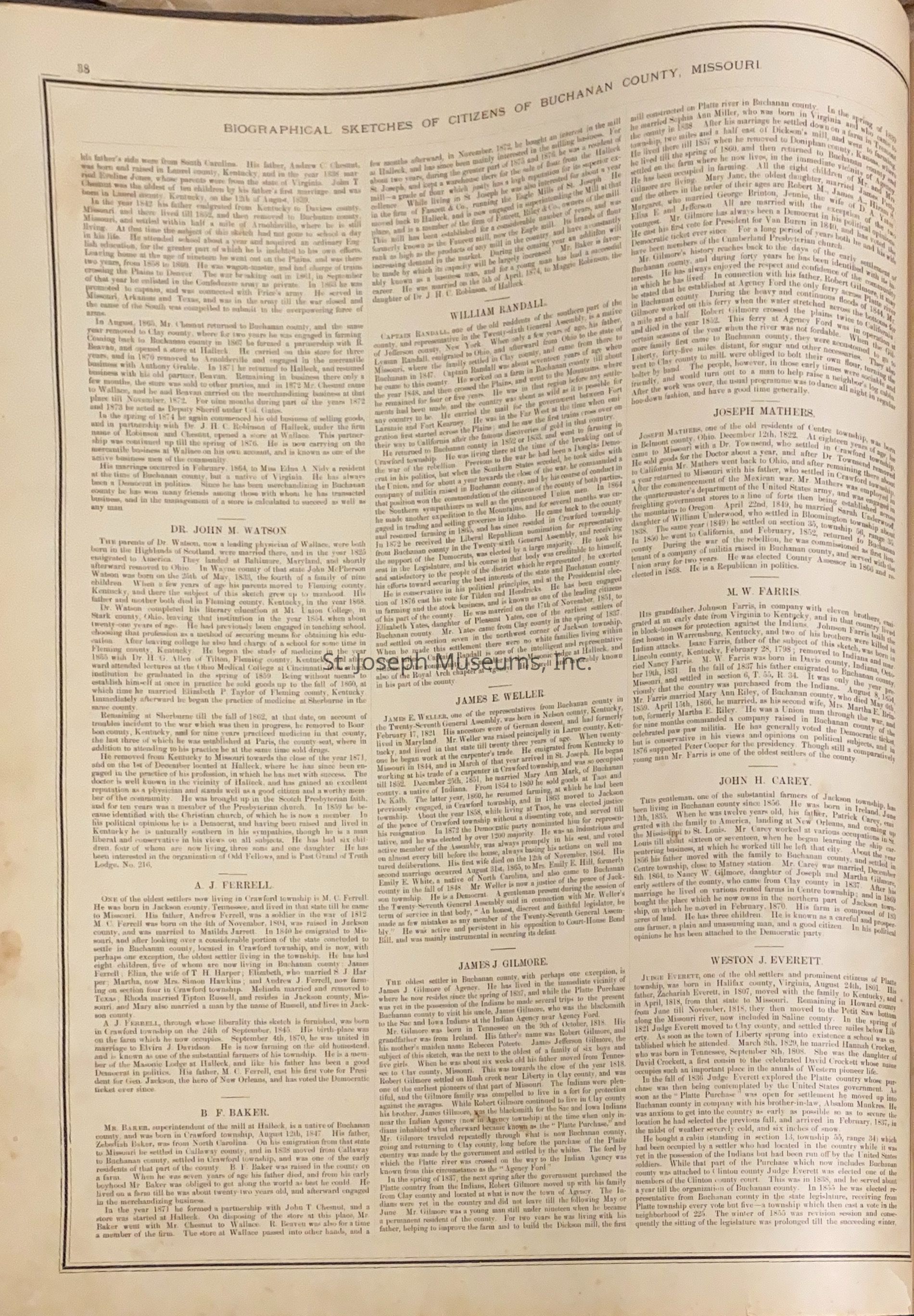
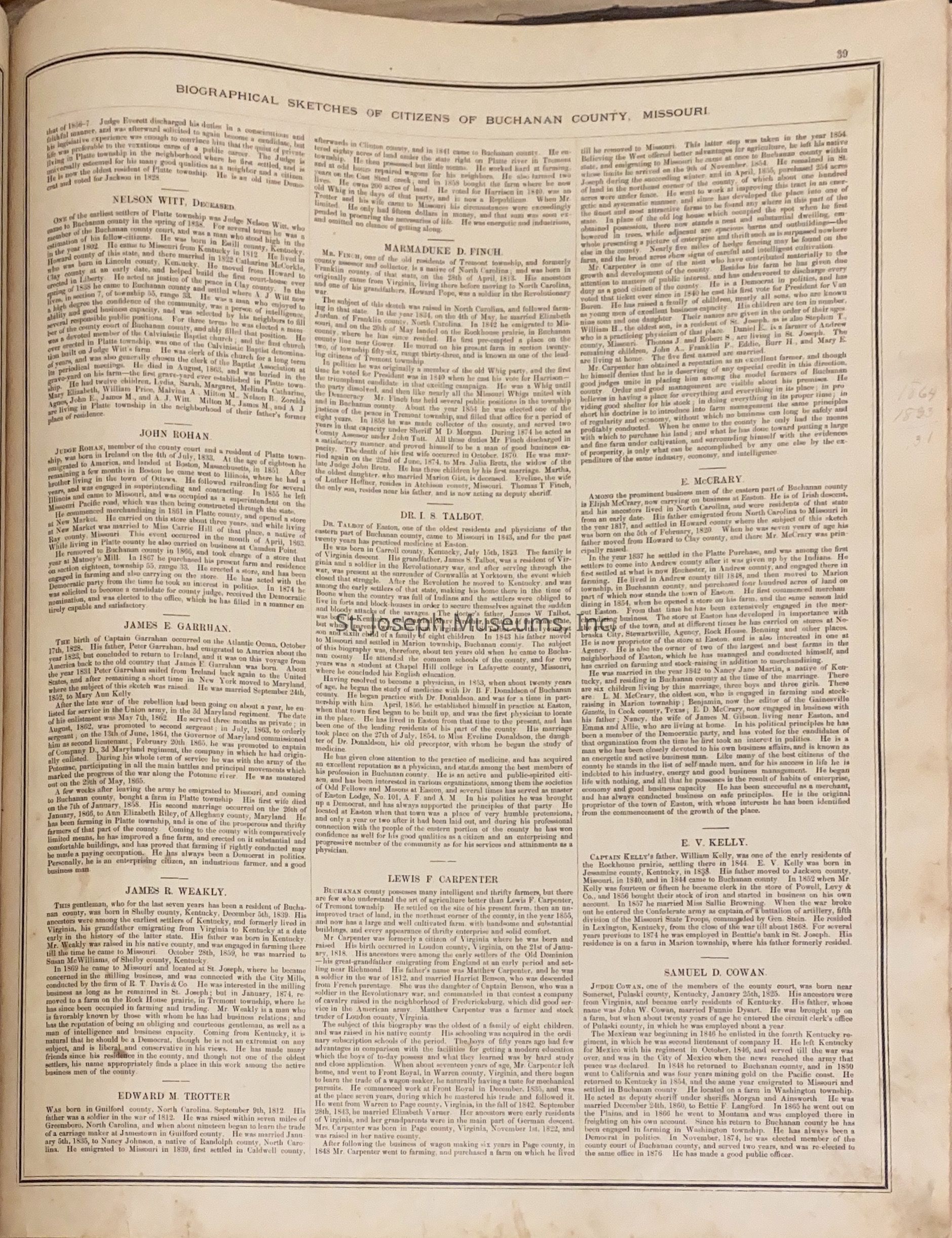
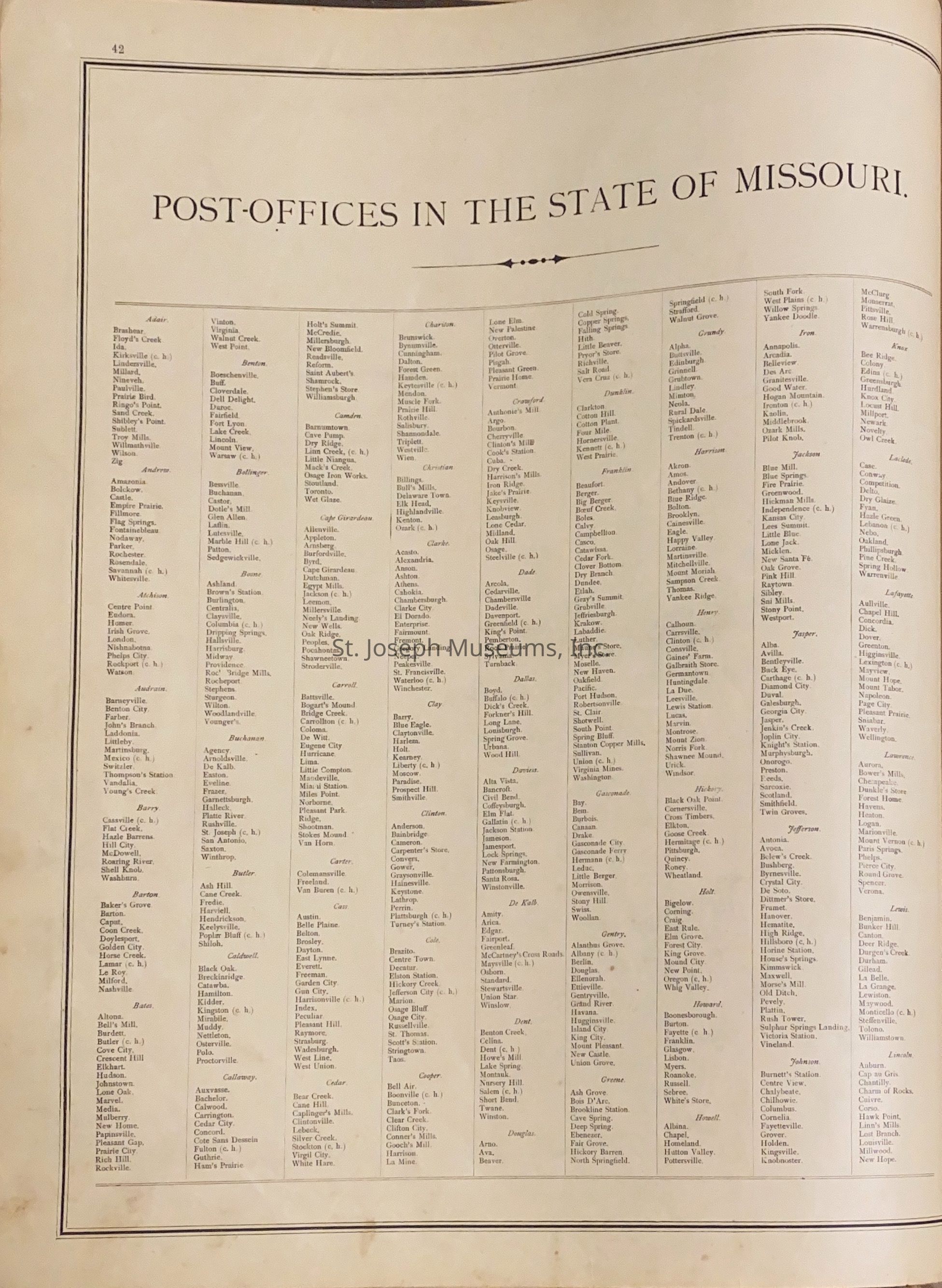
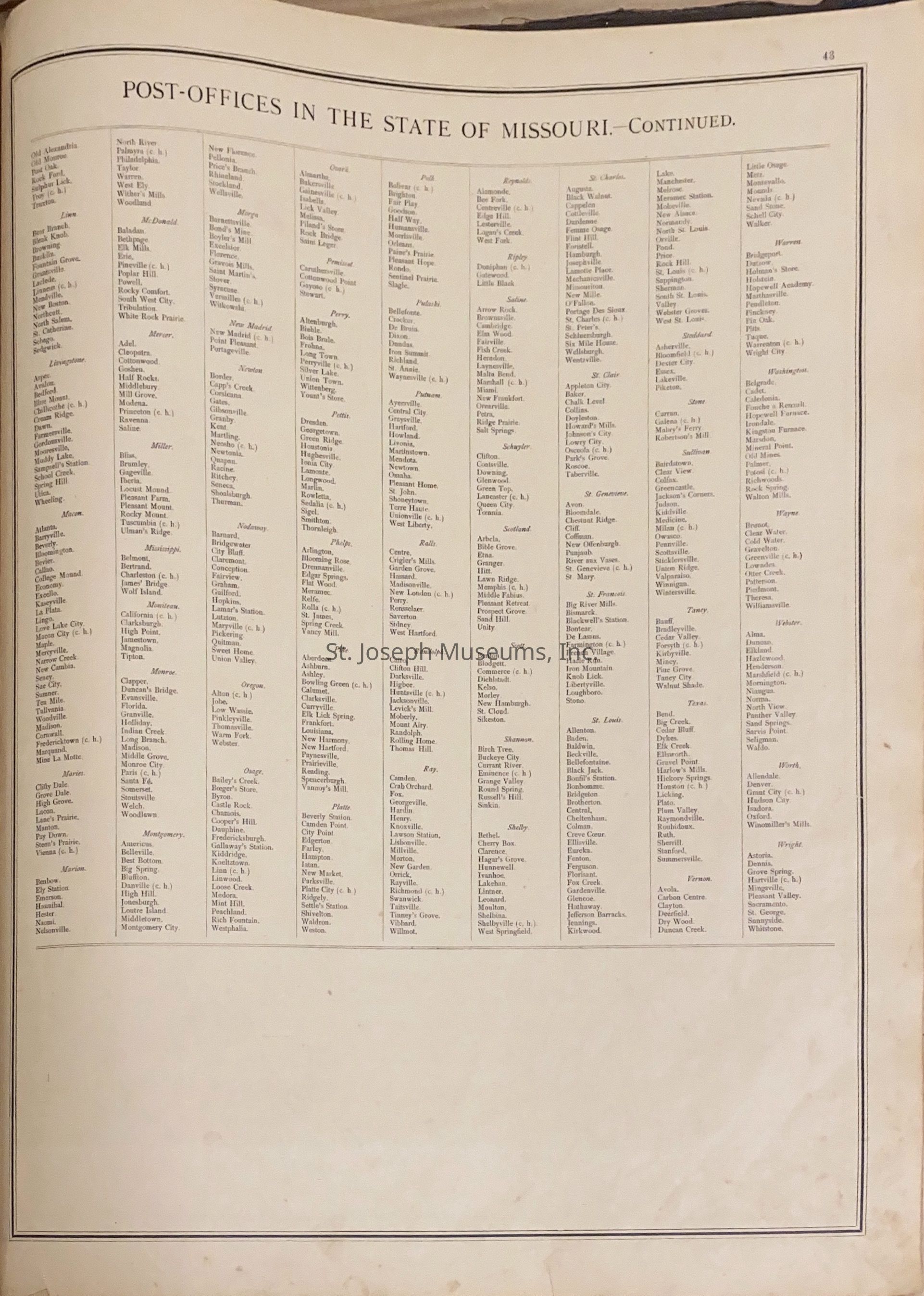
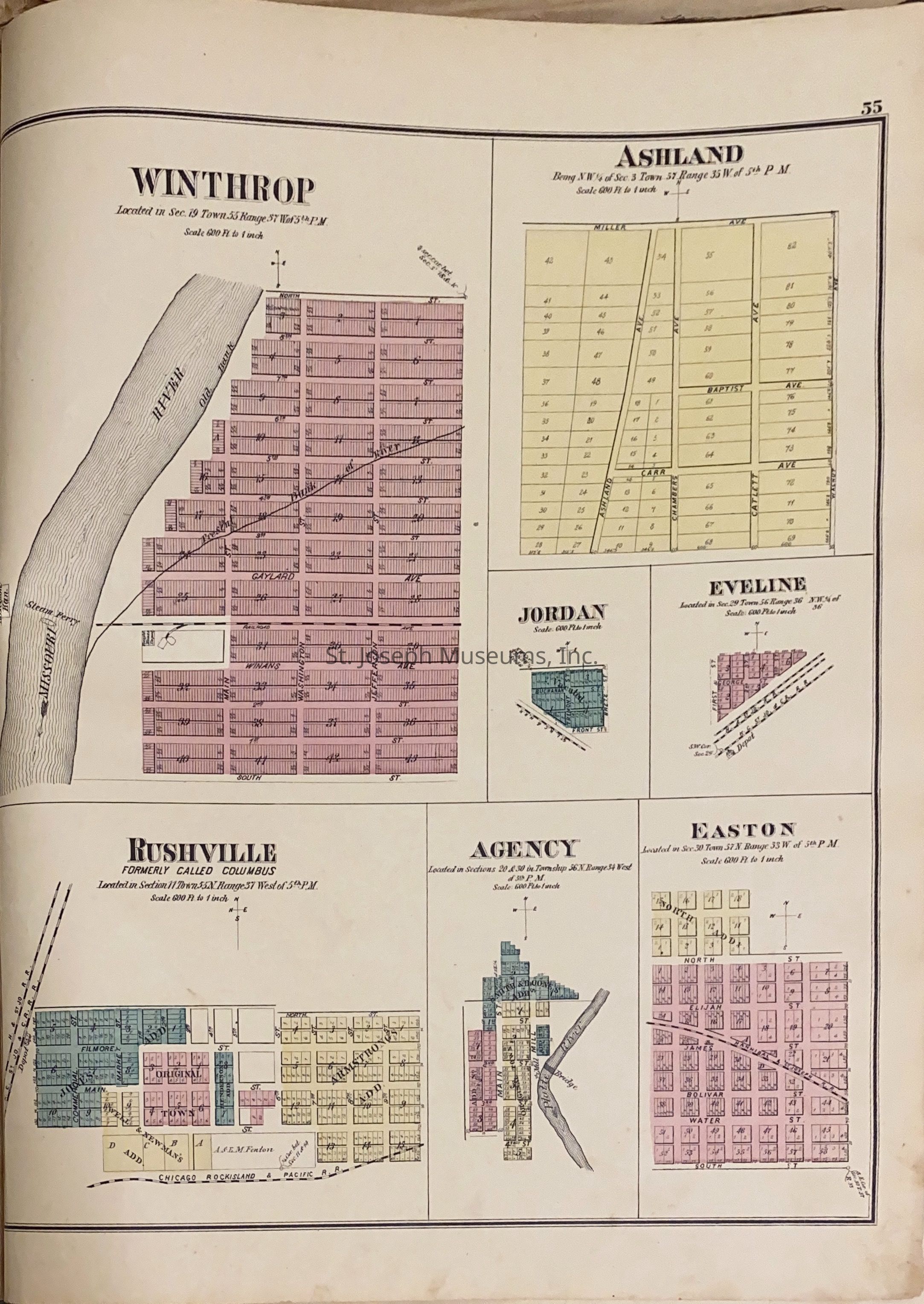
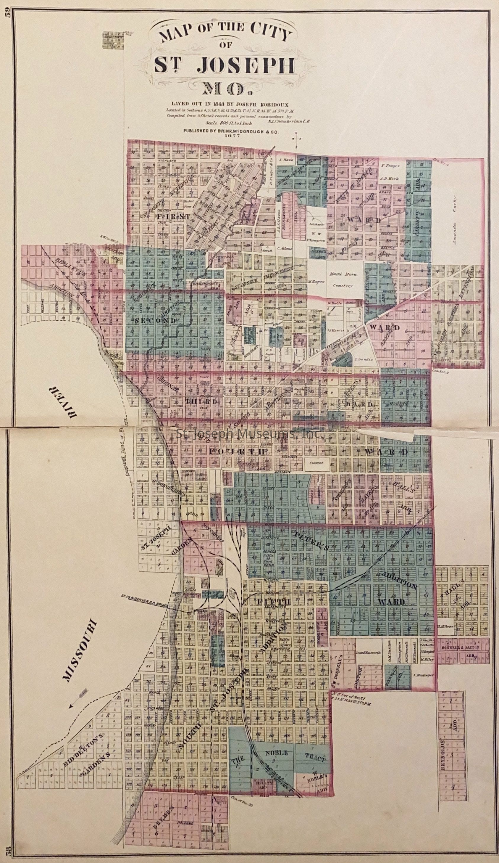
In addition to the maps, which show property ownership, the book also includes information on post offices in Missouri, history of Buchanan County townships, Missouri railroad map and 1876 Census statistics for Buchanan County. There is a biographical section of some of the leading St. Joseph citizens of the time and a patron list which gives business and place of birth of some St. Joseph people.
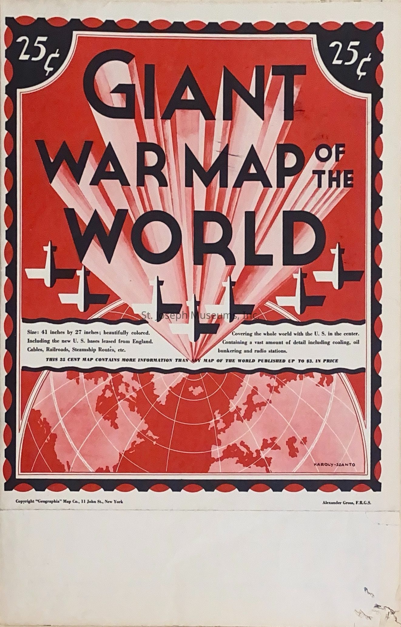
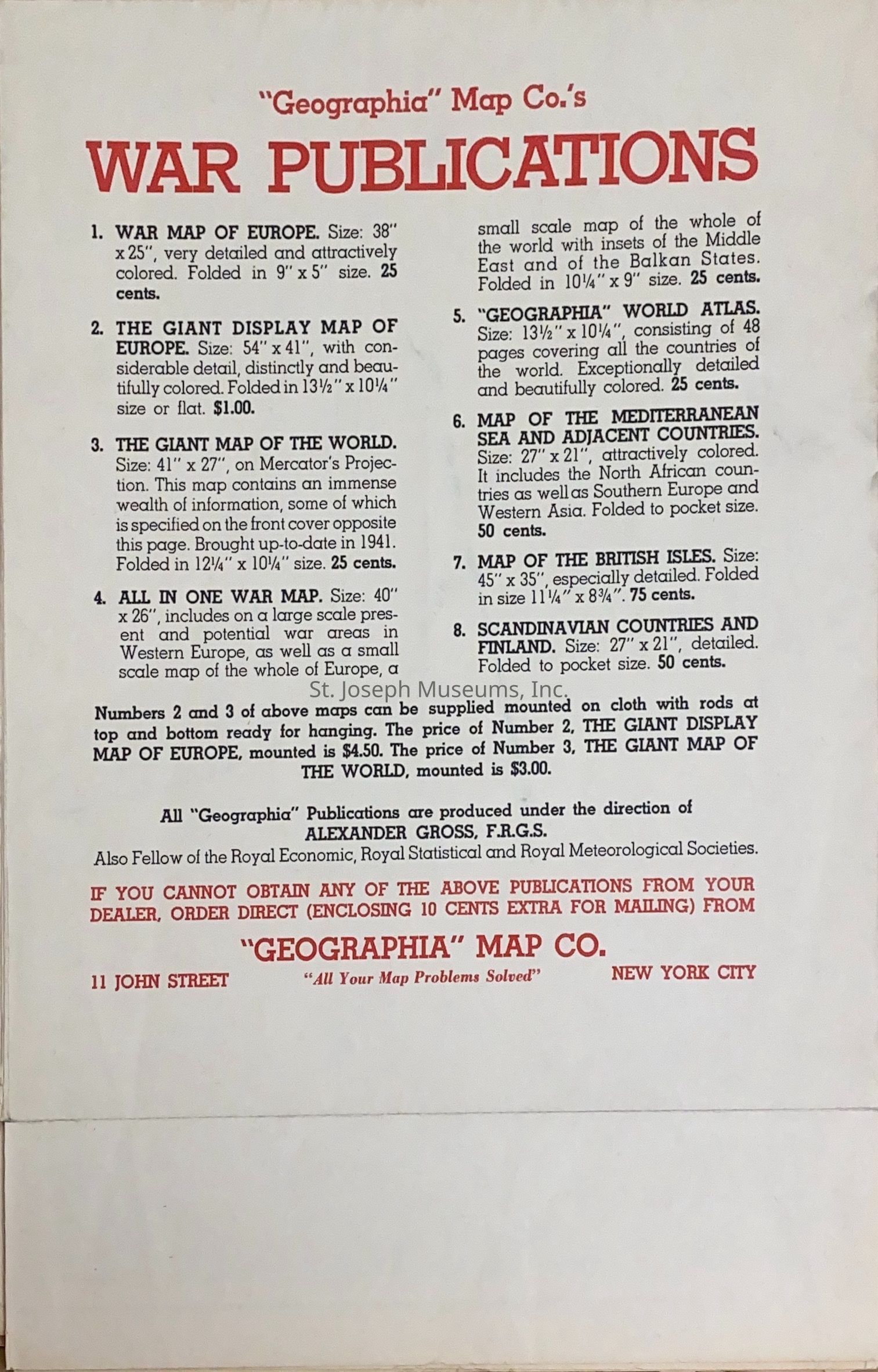
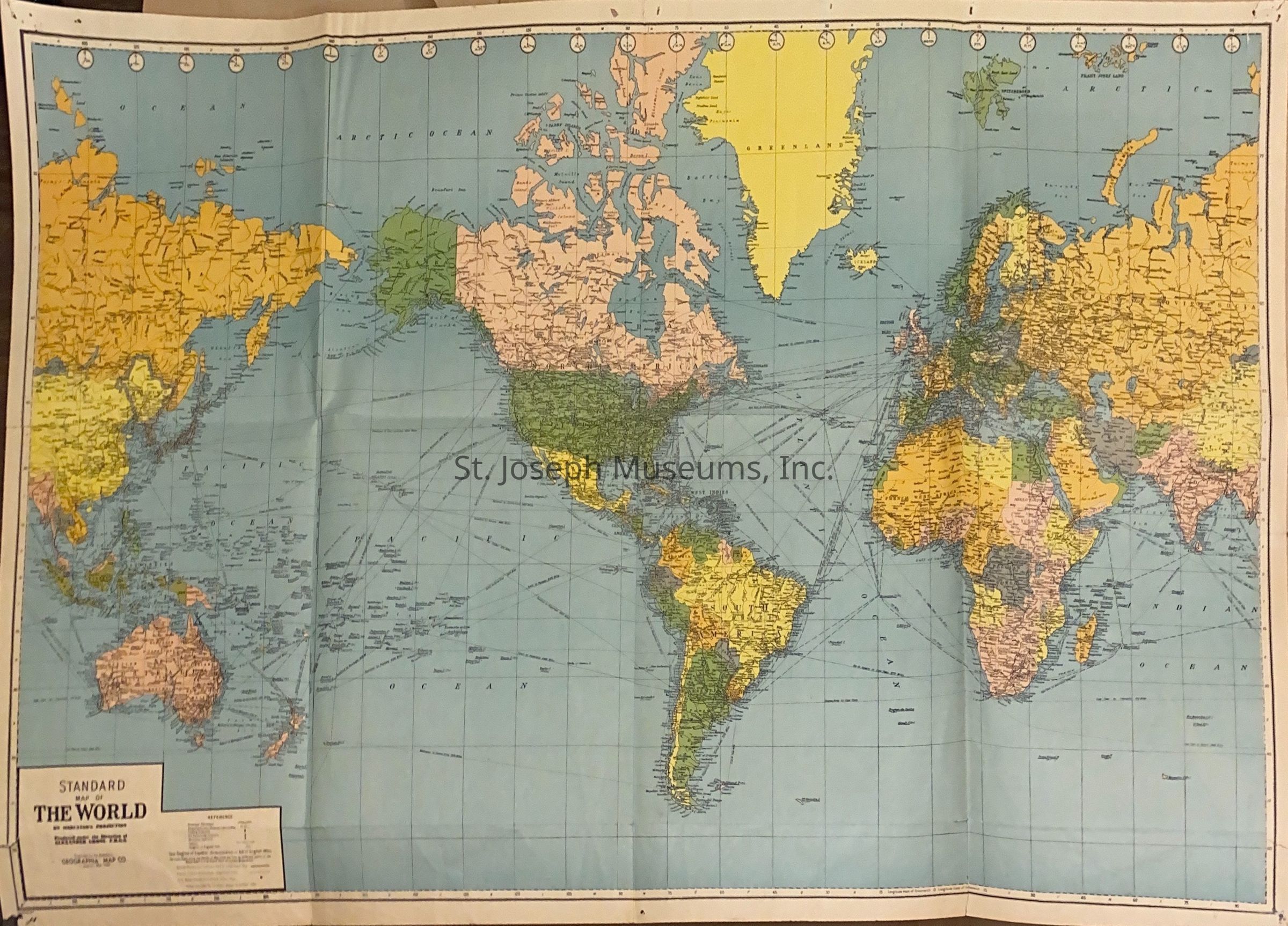
"Giant War Map of World" is folded inside the front cover - 1940s
59/Hardbound/Illustrated/MapsLexicon
Nomenclature 4.0
Nomenclature Secondary Object Term
AtlasNomenclature Primary Object Term
CartographNomenclature Sub-Class
Graphic DocumentsNomenclature Class
Documentary ObjectsNomenclature Category
Category 08: Communication ObjectsLOC Thesaurus for Graphic Materials
Maps, GovernmentSearch Terms
Atlas of Buchanan County, St. Joseph biographies, Census-1876, Railroads in Missouri, St. Joseph, Missouri, Buchanan County, Biography, BusinessPublication Details
Author
Williams, John R.Date Published
1876Call No.
StJoArea WINotes
Copy No.: 2Relationships
Related Person or Organization
Person or Organization
Randolph T. Davis