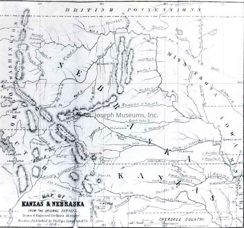
Kansas & Nebraska Map from Original Surveys by Edward Hale Photos (2), 1854
Entry/Object ID
P1994.1H.124
Description
Kansas & Nebraska Map from Original Surveys by Edward Hale Photos (2), 1854. b/w. Photo of map from the book "Kanzas and Nebraska, the History, Geographical and Physical Characteristics. An Account of the Emigrant Aid Companies and Direction to Emigrants" by Edward E Hale" Two copies, one an enlargement of the others.
Original digital scan located on History CD 03.
Made/Created
Artist
NA
Date made
1854
Place
Location
Not Applicable
Lexicon
Nomenclature 4.0
Nomenclature Secondary Object Term
Print, Photographic
Nomenclature Primary Object Term
Photograph
Nomenclature Sub-Class
Graphic Documents
Nomenclature Class
Documentary Objects
Nomenclature Category
Category 08: Communication Objects
LOC Thesaurus for Graphic Materials
Emigrants
Search Terms
Kansas Map, 1854, Nebraska Map, 1854, Western Migration, St. Joe Road