Land Area and Scope Indicator
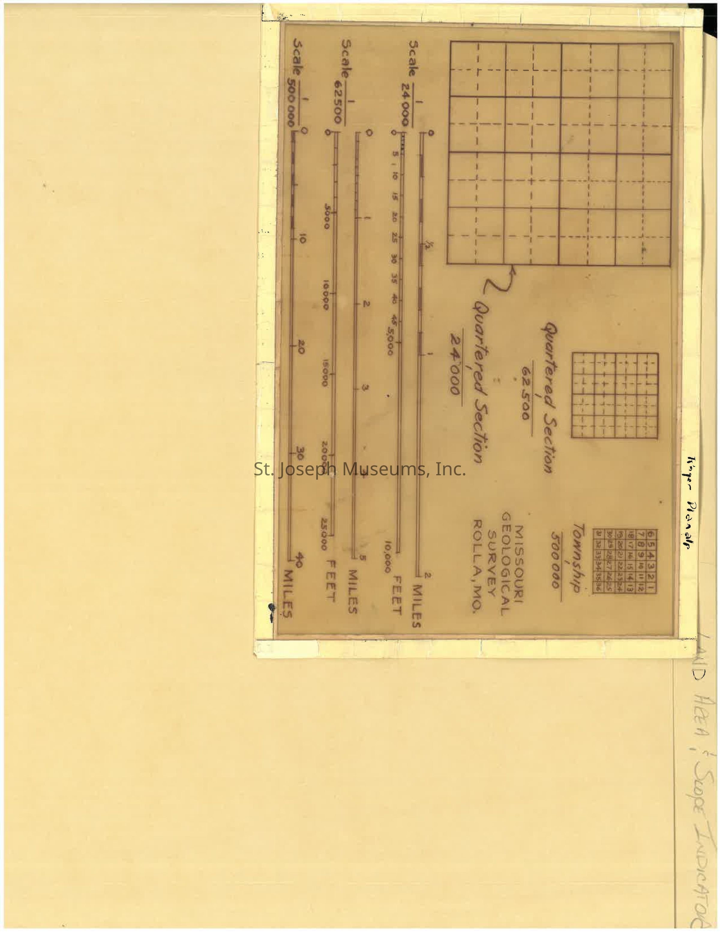
Click for PDF: The image displays a chart with multiple scales, grids, and labels for Missouri Geological Survey in Rolla
Click for PDF

The image displays a chart with multiple scales, grids, and labels for Missouri Geological Survey in Rolla

Name/Title

Land Area and Scope Indicator

Entry/Object ID

Q2024.35.31

Context

A transparency of a land area and scope indicator template. The name Roger Planalp is written on the top.

Collection

DOCUMENTS

Lexicon

Nomenclature 4.0

Nomenclature Primary Object Term

File, Document

Nomenclature Sub-Class

Other Documents

Nomenclature Class

Documentary Objects

Nomenclature Category

Category 08: Communication Objects

Relationships

Related Person or Organization

Person or Organization

Roger Planalp, Missouri Geological Survey