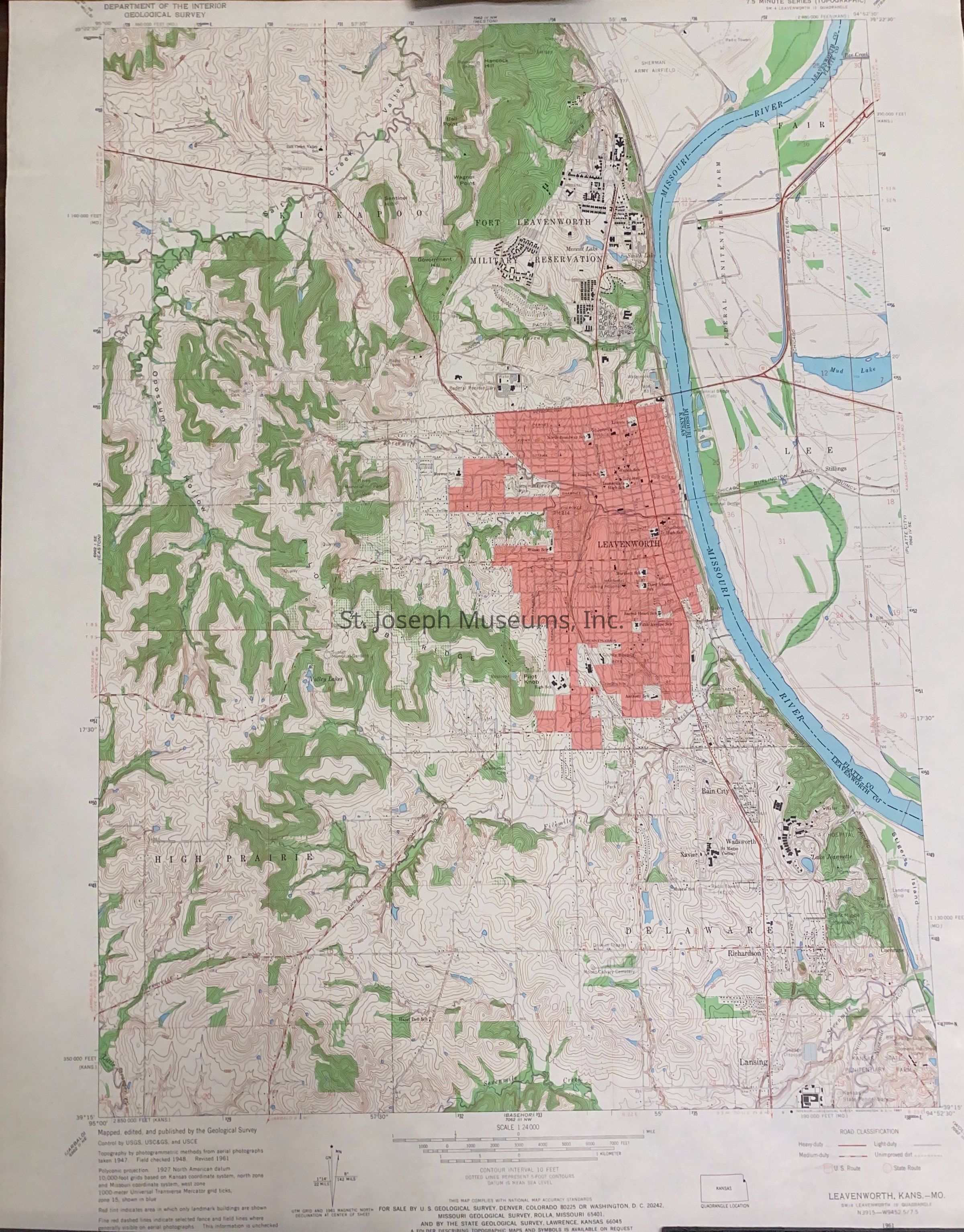
Leavenworth Quadrangle, Kansas-Missouri, Map, 1961. Topographical map of portions of eastern Leavenworth County, KS along the Missouri River, bordering Platte County, MO. Includes Fort Leavenworth military Reservation., south to Lansing, KS. 7.5 minute series.
Lexicon
Nomenclature 4.0
Nomenclature Secondary Object Term
Map
Nomenclature Primary Object Term
Cartograph
Nomenclature Sub-Class
Graphic Documents
Nomenclature Class
Documentary Objects
Nomenclature Category
Category 08: Communication Objects
LOC Thesaurus for Graphic Materials
Archaeology, Maps
Search Terms
Leavenworth Quadrangle, Fisher, Michael, Leavenworth County, Kansas, Missouri River