Map

Object/Artifact

-

St. Joseph Museums

Name/Title

Map

Entry/Object ID

2018.23.1

Description

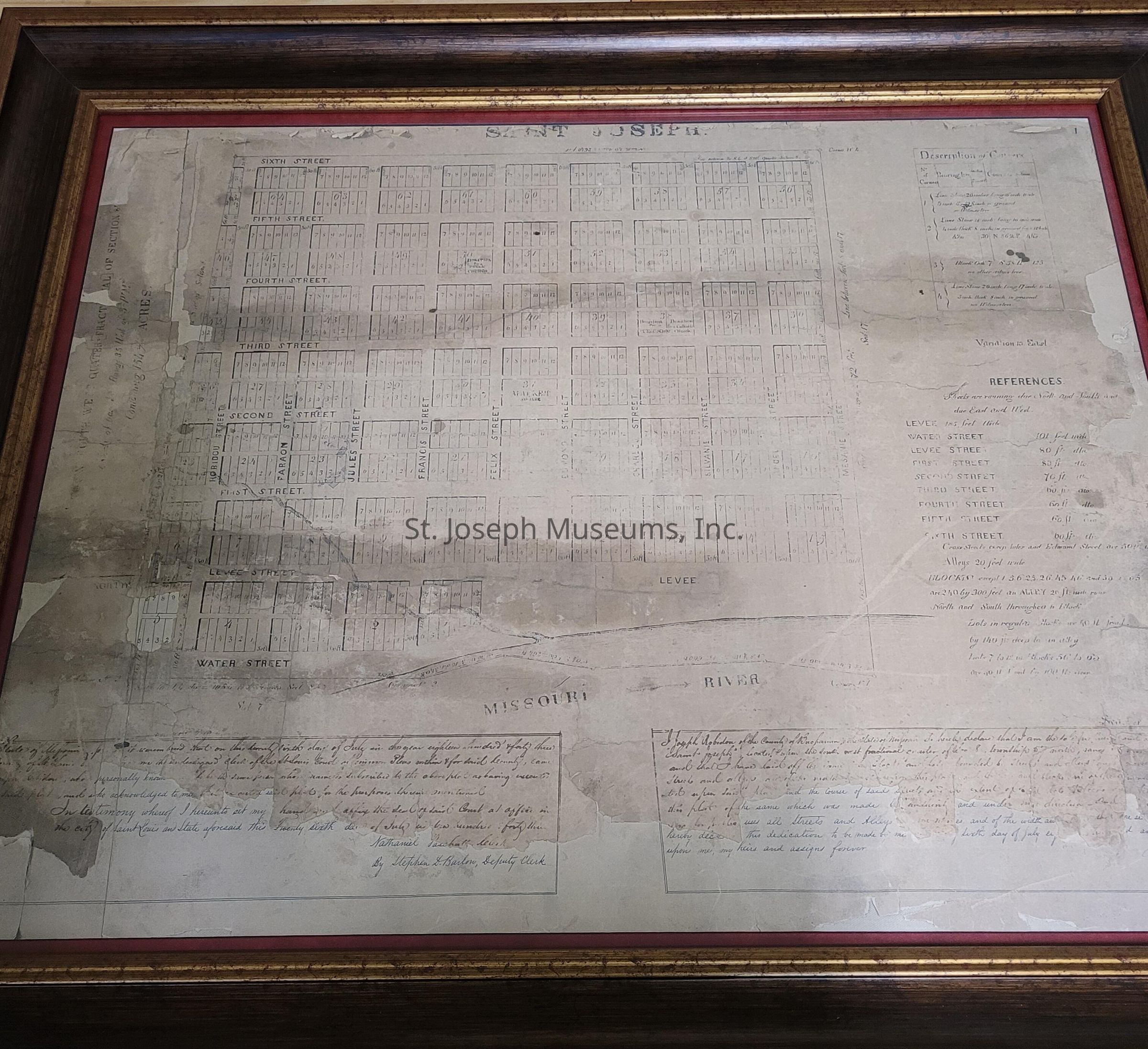
Framed copy of the original 1843 plat map of St. Joseph, Missouri.

Collection

St. Joseph, Missouri

Made/Created

Date made

1843

Lexicon

Nomenclature 4.0

Nomenclature Secondary Object Term

Map

Nomenclature Primary Object Term

Cartograph

Nomenclature Sub-Class

Graphic Documents

Nomenclature Class

Documentary Objects

Nomenclature Category

Category 08: Communication Objects

Dimensions

Height

29-1/4 in

Width

35-1/4 in

Depth

2 in

Maintenance

Maintenance History

Date

Apr 24, 2018

Relationships

Related Person or Organization

Person or Organization

Robidoux, Joseph

Interpretative Labels

Label Type

Cultural/Historical Context

Label

In 1843 the people of Blacksnake Hills desired to become the seat of Buchanan County, moving it from its original location of Sparta, MO. A committee formed to find a spot for a new courthouse. They selected a site owned by Joseph Robidoux. As a result, Robidoux commissioned a plat for the town, choosing the design of St. Joseph's first postmaster, Frederick Smith. Robidoux signed the map and sent it to St. Louis to be filled with the Court of Common Pleas, and on July 26, 1843 St. Joseph officially became a town.