Name/Title
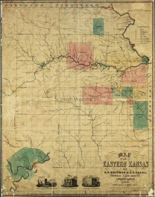
Map of Eastern KansasEntry/Object ID
Q2025.24.4Description
Digital photograph of a map of Eastern Kansas by E.B. Whitman and A.D. Searl, general land agentsPhotograph Details
Type of Photograph
DigitalSubject
Ioway Tribe Native manSubject Person or Organization
Iowa Tribe of Kansas and NebraskaContext
Photograph donated by Reuben Noah, curator of the Ioway and Sac & Fox Mission Museum.Collection
NATIVE AMERICAN, PHOTOGRAPHSRelationships
Related Person or Organization
Person or Organization
Iowa Tribe of Kansas and NebraskaRelated Places
Place
State/Province
Kansas, Nebraska