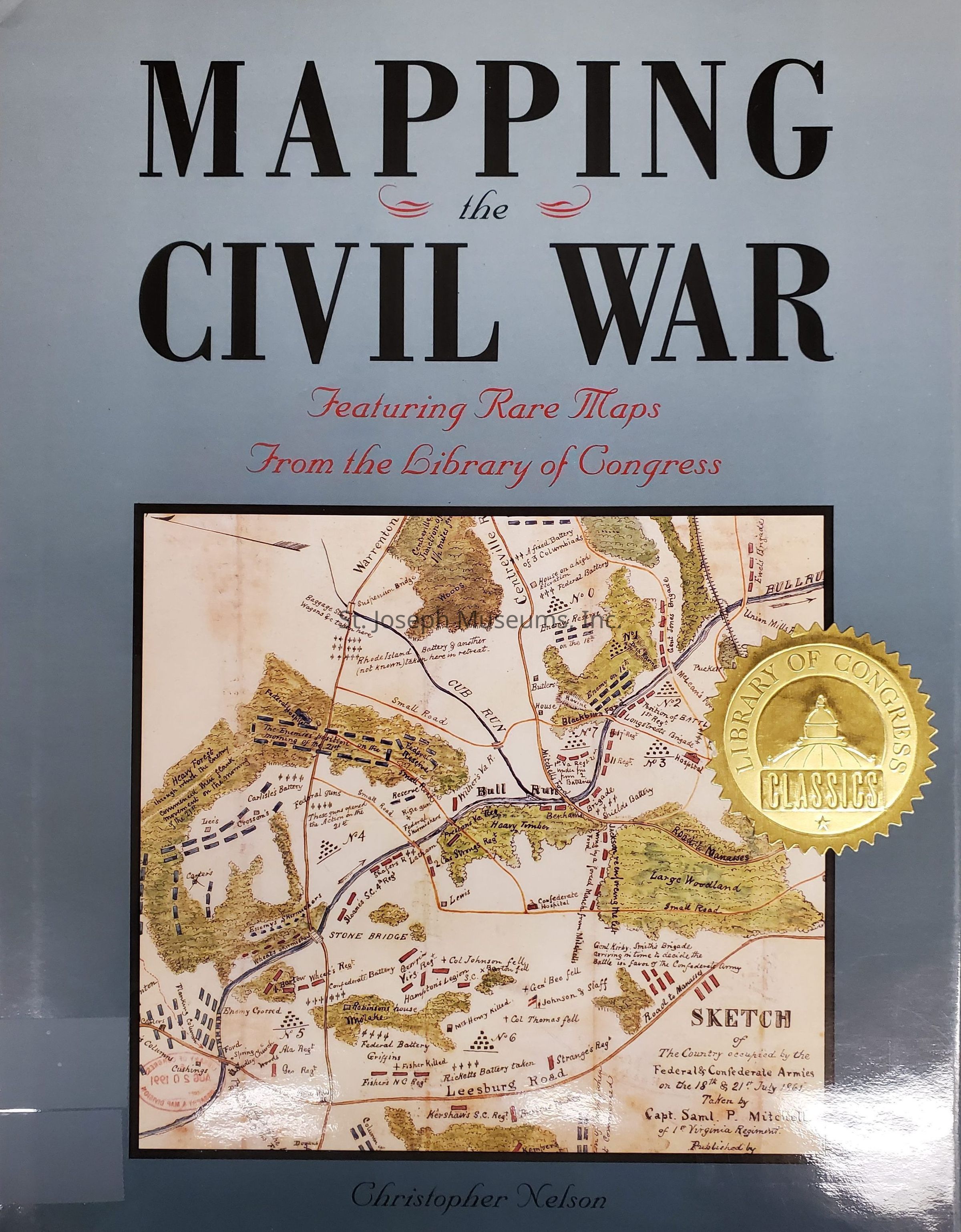
Mapping the Civil War, Featuring Rare Maps from the Library of Congress
Entry/Object ID
L2010.15.10
Description
Mapping the Civil War: Featuring Rare Maps from the Library of Congress is the 2nd in a series produced in conjunction with the Library of Congress. Campaign by campaign it incorporates maps, photographs, and original drawings to illustrate the war to show what the battle leaders might have seen and gives a view of the strategy of the Civil War. The text describes movements and battles, armies and tactics. It includes contemporary drawings and skteches
This book is from the library of Reid and Virginia Woodbury.
176/Hardbound/Illustrations/Photographs/Maps
Lexicon
Nomenclature 4.0
Nomenclature Primary Object Term
Book
Nomenclature Sub-Class
Other Documents
Nomenclature Class
Documentary Objects
Nomenclature Category
Category 08: Communication Objects
Search Terms
Civil War Maps, Manasses, Antietam, Vicksburg, Gettysburg/, Sherman, William T., Petersburg, Appomattox, Civil War Battles, Civil War Photographs, Civil War Art, Military, Union Army, Confederate Army, Library of Congress