Maps of the Oregon Trail

Name/Title

Maps of the Oregon Trail

Entry/Object ID

L1986.1.37

Description

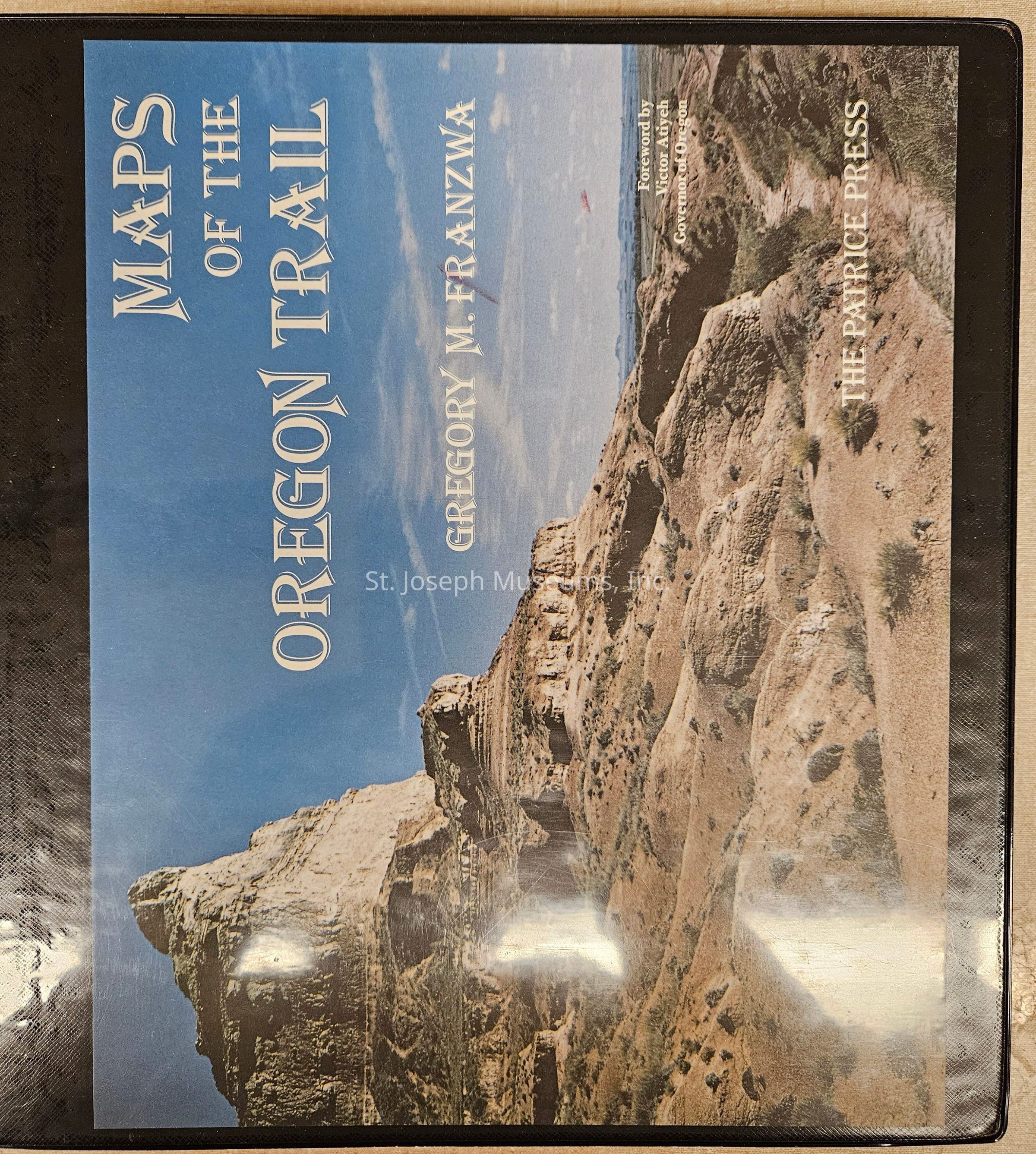
Maps of the Oregon Trail. 1982 publication of maps of the Oregon Trail by Gregory Franzwa of Patrice Press. These maps, originally created as part of a National Park Service study of the Oregon Trail and related historic sites, allow the reader to locate the trail on today's landscape. Brief text of explanation connected to selected sites. A later edition of these same maps has also been published by Patrice Press. Note: Although this book is actually a western history book, it has been shelved with Pony Express. Another copy has been shelved in Western. 292/Hardbound/Looseleaf/Illustrations/Maps/Photographs.

Lexicon

Nomenclature 4.0

Nomenclature Primary Object Term

Book

Nomenclature Sub-Class

Other Documents

Nomenclature Class

Documentary Objects

Nomenclature Category

Category 08: Communication Objects

LOC Thesaurus for Graphic Materials

Pony express, Maps

Search Terms

Oregon Trail, Maps of American West, Travel Guide, Pony Express, Expansion, Freighting, Stagecoach, Military, Western Migration, Trail Maps
Book Details

Author

GREGORY M. FRANZWA

Place Published

City

Gerald

State/Province

Missouri

Date Published

1982

Call No.

PonyExpress FR

ISBN

0-935284-31-1

Notes

Copy No.: 2

Condition

Overall Condition

Excellent