Maps of the Sante Fe Trail

Name/Title

Maps of the Sante Fe Trail

Entry/Object ID

L1994.1.4

Description

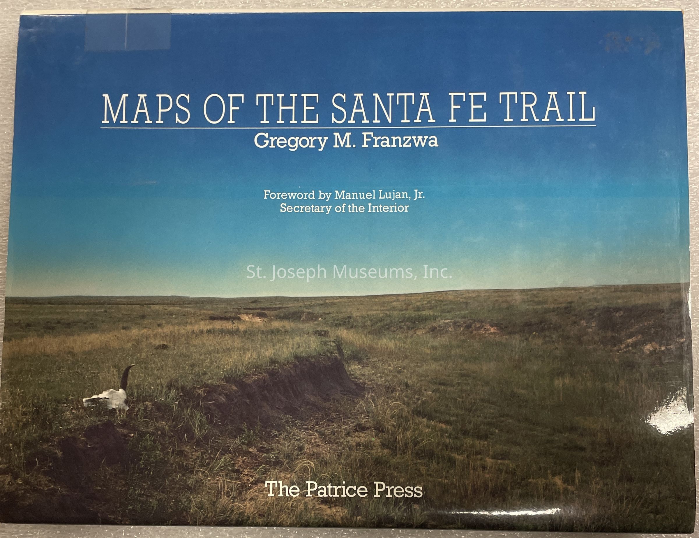
Maps of the Sante Fe Trail . Maps published by Gregory Franzwa and Patrice Press. The maps were originally generated from a study by the National Park Service subsequent to the 1987 establishment by Congress of the National Historic Trails System. The maps allow the reader to locate the Santa Fe Trail on the existing landscape. Brief text concerning selected historic sites accompanies some maps. Other books by this author connected to this trail and his part in the study are: "Images of the Santa Fe Trail", "Impression of the Santa Fe Trail", and "Santa Fe Trail Revisited". 196/Hardbound/Illustrations/Maps/Photographs
Lexicon

Nomenclature 4.0

Nomenclature Primary Object Term

Book

Nomenclature Sub-Class

Other Documents

Nomenclature Class

Documentary Objects

Nomenclature Category

Category 08: Communication Objects

LOC Thesaurus for Graphic Materials

Maps

Search Terms

Sante Fe Trail, Maps, Trails, Santa Fe Trail

Book Details

Author

GREGORY M. FRANZWA

Place Published

City

St. Louis

State/Province

Missouri

Date Published

1989

Call No.

Western FR

ISBN

0-935284-68-0

LCCN

89-675121

Notes

Copy No.: 1

Condition

Overall Condition

Excellent